The best gravel rides in Gründlenried-Rötseemoos
4.9
(15)
117
riders
25
rides
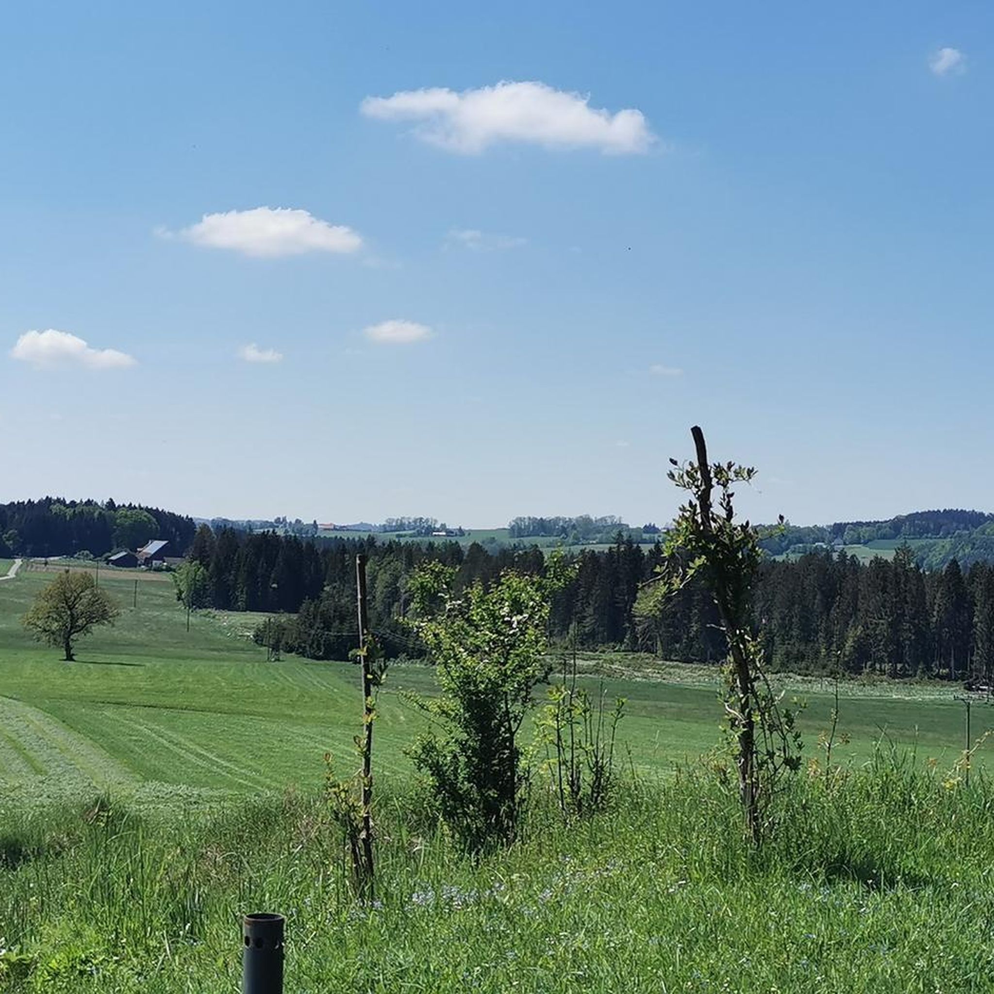
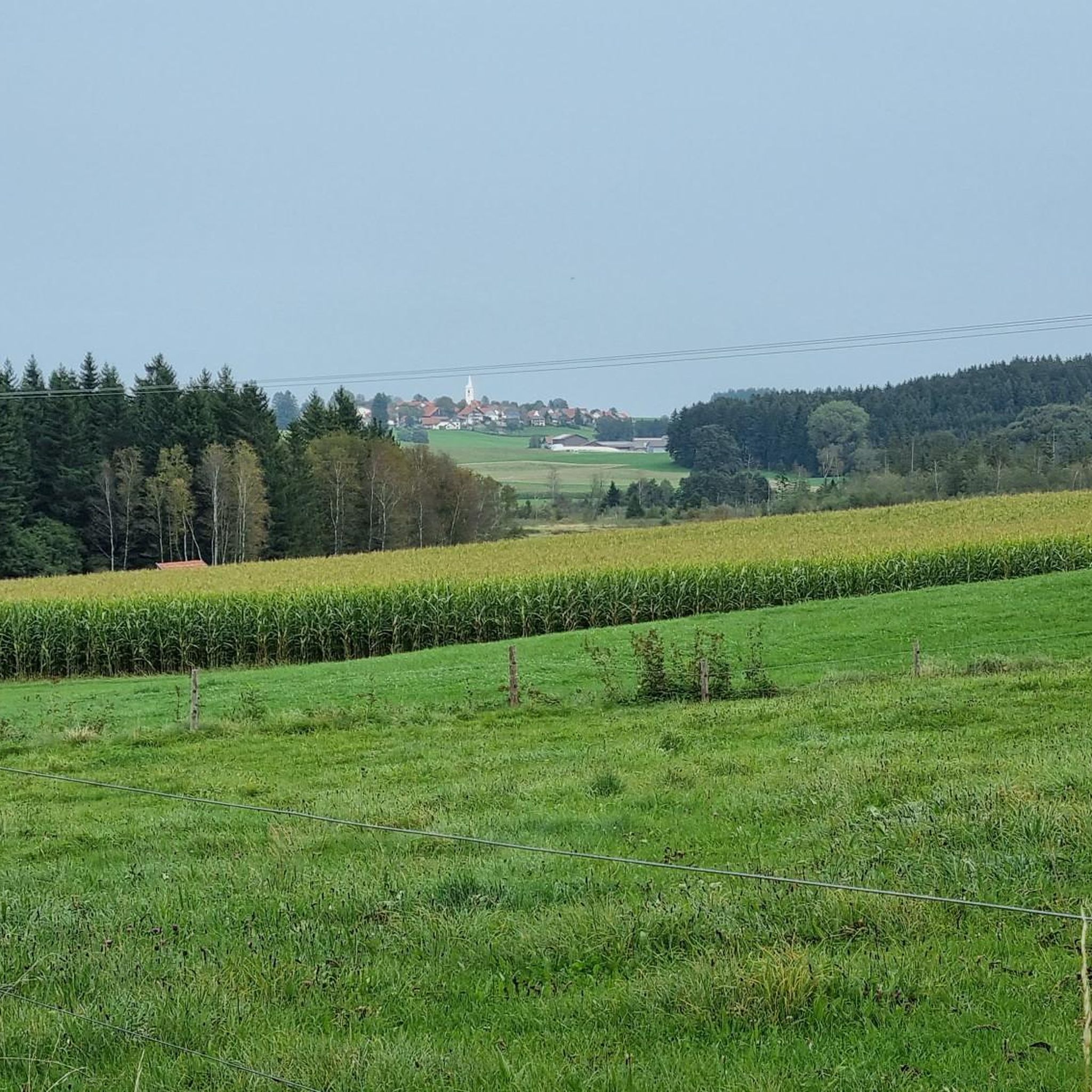
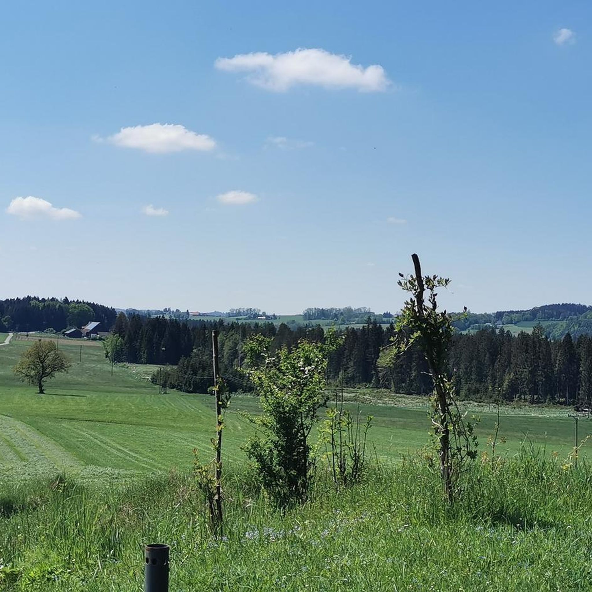
Gravel biking in Gründlenried-Rötseemoos offers a diverse landscape of rolling hills, dense forests, and open meadows within the Westallgäuer Hügelland. This region is characterized by an extensive moor landscape, including high moors and fens, providing a unique natural backdrop. The terrain features a mix of forest roads and wider trails, suitable for gravel bikes, with gentle undulations rather than strenuous climbs. The area also straddles a watershed, adding geographical interest to the routes.
Best gravel bike trails in Gründlenried-Rötseemoos
- The…
Last updated: July 3, 2026
3.7
(3)
9
riders
43.6km
02:54
480m
480m
Hard gravel ride. Very good fitness required. Mostly paved surfaces. Suitable for all skill levels.
5.0
(2)
11
riders
37.3km
02:14
300m
300m
Moderate gravel ride. Good fitness required. Mostly paved surfaces. Suitable for all skill levels.

Sign up for free
5.0
(1)
8
riders
Hard gravel ride. Very good fitness required. Mostly paved surfaces. Suitable for all skill levels.
5.0
(1)
6
riders
19.6km
01:08
130m
130m
Hard gravel ride. Great for any fitness level. You may need to push your bike for some segments of this route.
5.0
(1)
3
riders
Moderate gravel ride. Good fitness required. Mostly paved surfaces. Suitable for all skill levels.
Get access to more routes and recommendations from other explorers.
Sign up for free
Already have an account?
Our route recommendations are based on thousands of hikes, rides, and runs completed by other people on komoot.
Start today with a free account
Your next adventure awaits.
Login or Signup
Tips from the Community

Impressively large lake with great bird diversity and a quiet shore area!
0
0


Unfortunately closed due to repeated vandalism, what a shame!!!
1
0

It's great that someone took the time and made it available to the public. Thank you 🙏🏼
1
0

A wonderfully beautiful and quiet large pond where you can swim a few laps.
0
0

A pretty lake with several swimming opportunities. It is part of the Kißlegg Lake District, a group of ponds connected by moorland.
2
0

On September 15, 1870, the Royal Württemberg State Railways opened the Waldsee–Kißlegg section of the Herbertingen–Isny railway line. Source: Wikipedia
3
0

I pass by here almost every time I'm on a tour and I'm happy to be able to rest a bit and reflect on the route I've just driven. Then there are only a few kilometers left to go! And something really special: There are always nice conversations with other people here. Unfortunately, there are also some here who aren't so strict about paying! It would be a real shame if this service were to cease to exist at some point.
2
0
Frequently Asked Questions
How many gravel bike trails are available in Gründlenried-Rötseemoos?
There are over 40 gravel bike routes in Gründlenried-Rötseemoos, offering a diverse range of experiences for cyclists. These routes traverse rolling hills, dense forests, and unique moorland landscapes.
What kind of terrain can I expect on the gravel bike trails in Gründlenried-Rötseemoos?
The region features a varied landscape of rolling hills, dense forests, and open meadows. You'll encounter a mix of forest roads and wider trails, perfect for gravel bikes. The terrain generally has gentle undulations rather than strenuous climbs, making it accessible for various fitness levels.
Are there any easy gravel bike routes for beginners or families?
Yes, Gründlenried-Rötseemoos offers several routes suitable for beginners and families. There are 4 easy routes and 23 moderate routes. For a scenic and manageable ride, consider the Thirst-Quencher Trunk – Way of the Cross from Merazhofen loop from Kißlegg, which covers 36.8 km with moderate difficulty.
What are the regulations for cycling within the Gründlenried-Rötseemoos nature reserve?
As Gründlenried-Rötseemoos is a nature reserve, strict regulations apply to protect its sensitive ecosystems. Cycling is generally permitted only on marked paths and trails. Off-path riding, disturbing wildlife, or altering habitats is prohibited. Always stay on designated routes and be mindful of the natural surroundings.
What natural features or viewpoints can I expect to see along the gravel bike routes?
The area is known for its extensive moor landscape, including high moors and fens with small moor lakes (Kolke) and specialized vegetation. You can also experience the unique watershed where the Wolfegger Ach drains towards the Rhine and the Rotbach to the Danube. For specific viewpoints, the Süh Cross Viewpoint – Stock Pond loop from Kißlegg leads to a viewpoint overlooking the landscape.
Are there any historical sites or attractions to explore near the gravel trails?
Yes, the region offers some interesting historical and natural attractions. You can visit the Maria Queen of Angels Pilgrimage Church (Rötsee) or explore the Burgstall in the Grindelmoos, a distinct moraine ridge that served as a refuge in the Middle Ages. The Rötseemoos–Kißlegg Scenic Route also offers picturesque views.
What do other gravel bikers say about the routes in Gründlenried-Rötseemoos?
The gravel biking routes in Gründlenried-Rötseemoos are highly rated by the komoot community, with an average score of 4.7 stars from over 10 reviews. Cyclists often praise the unique moorland scenery, the varied terrain of rolling hills and forests, and the well-maintained paths suitable for gravel bikes.
Are there any circular gravel routes in the area?
Yes, many of the gravel routes in Gründlenried-Rötseemoos are designed as loops. For example, the Scenic Country Road in Allgäu – Lake Rohrsee loop from Kißlegg is a popular circular trail offering scenic country roads and lake views. Another option is the Way of the Cross from Merazhofen – Bodenmöser Nature Reserve loop from Kißlegg, which takes you through a nature reserve.
What is the best time of year for gravel biking in Gründlenried-Rötseemoos?
The Westallgäuer Hügelland, where Gründlenried-Rötseemoos is located, is generally best for cycling during the spring, summer, and early autumn months. These seasons offer pleasant temperatures and drier conditions, making the forest roads and trails more enjoyable. Always check local weather forecasts before your ride.
Can I bring my dog on the gravel bike trails?
While the region is beautiful for outdoor activities, specific regulations for dogs on gravel bike trails within the nature reserve are not detailed. Generally, in nature reserves, dogs must be kept on a leash to protect wildlife. It's always best to check local signage or official park guidelines for the most current rules regarding pets.
Are there any challenging gravel bike routes for experienced riders?
Yes, for experienced gravel bikers seeking a challenge, Gründlenried-Rötseemoos offers 14 difficult routes. The Süh Cross Viewpoint – Stock Pond loop from Kißlegg is a difficult 44.0 km path that provides varied terrain and significant elevation changes, perfect for a demanding ride.
Where can I find parking near the gravel bike trails in Gründlenried-Rötseemoos?
While specific parking locations for individual trails are not provided, Kißlegg serves as a common starting point for many routes in the Gründlenried-Rötseemoos area. You can typically find parking facilities in and around Kißlegg, which offer convenient access to the regional trail network.
Most popular routes in Gründlenried-Rötseemoos
Most popular attractions in Gründlenried-Rötseemoos

Get inspired with the komoot mobile app


Explore more
Browse the best Gravel rides in other regions.
