The best gravel rides in Stollhofener Platte
4.5
(60)
359
riders
85
rides
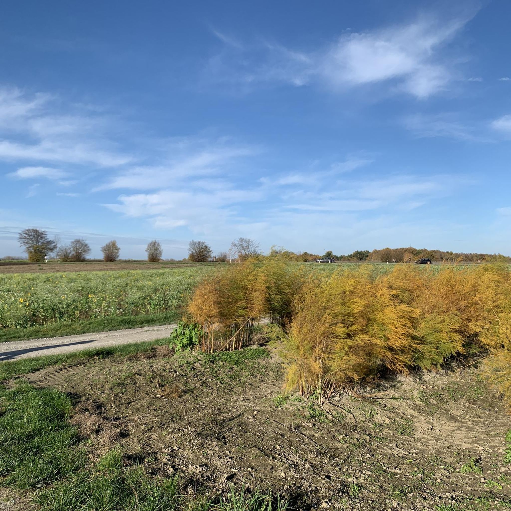
Gravel biking in Stollhofener Platte offers routes across a largely flat low-terrace plain in Baden-Württemberg, Germany. The region is characterized by sandy-gravelly soils, extensive forested areas, and former dunes up to 21 meters high. A significant portion of the area is a nature reserve, featuring unique grassland and dry grassland biotopes. The terrain provides accessible paths suitable for various fitness levels.
Best gravel bike trails in Stollhofener Platte
- The most popular gravel bike trail is Greffern Rhine Ferry – Greffern…
Last updated: October 6, 2026
4.5
(2)
12
riders
Moderate gravel ride. Good fitness required. Mostly paved surfaces. Suitable for all skill levels.
5.0
(1)
4
riders
Easy gravel ride. Great for any fitness level. Mostly paved surfaces. Suitable for all skill levels.

5
riders
Easy gravel ride. Great for any fitness level. Mostly paved surfaces. Suitable for all skill levels.
5.0
(1)
24
riders
149km
07:41
250m
250m
Hard gravel ride. Very good fitness required. Mostly paved surfaces. Suitable for all skill levels.
4.0
(3)
13
riders
Moderate gravel ride. Good fitness required. Mostly paved surfaces. Suitable for all skill levels.
Get access to more routes and recommendations from other explorers.
Already have an account?
Our route recommendations are based on thousands of hikes, rides, and runs completed by other people on komoot.
Start today with a free account
Your next adventure awaits.
Tips from the Community

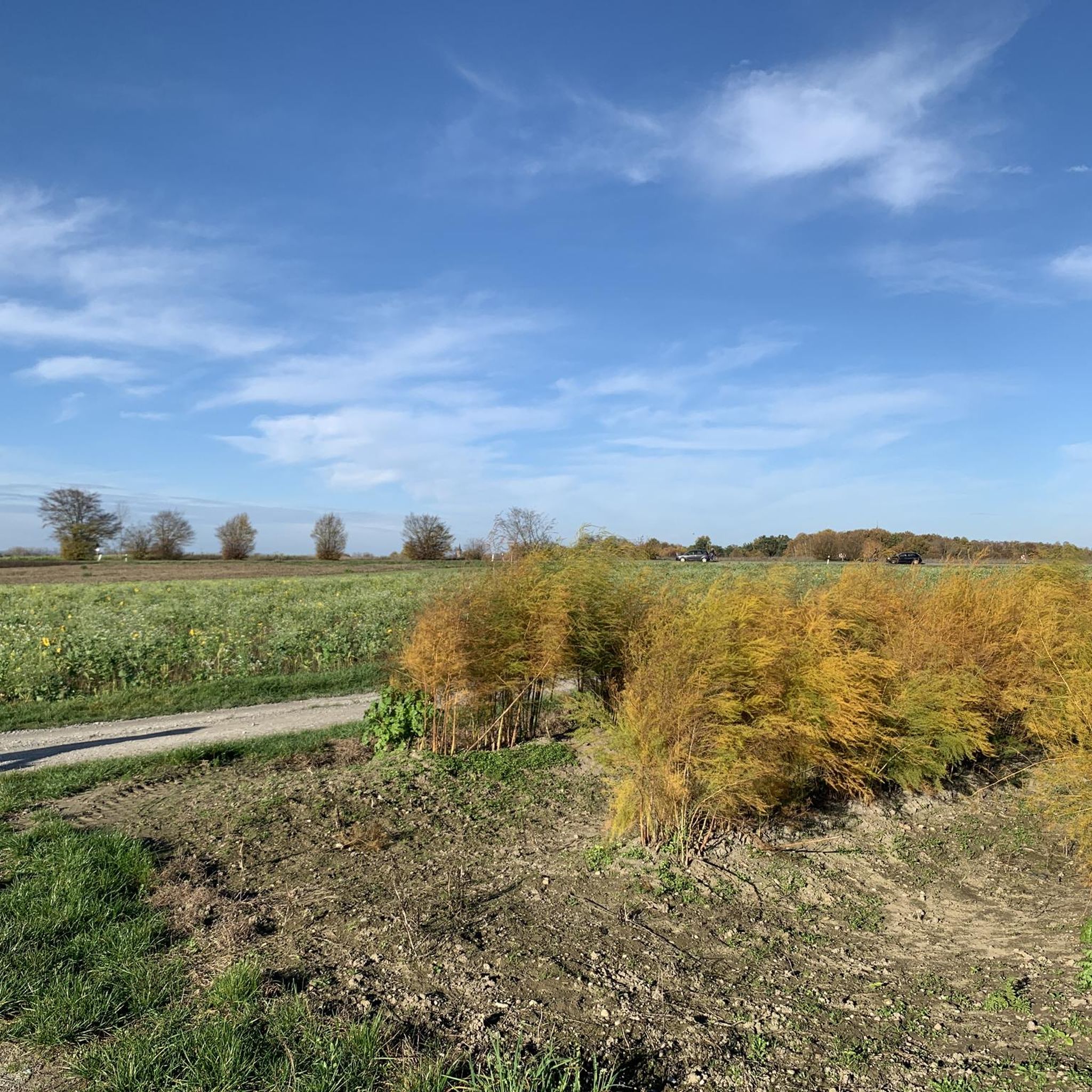
Cool place to watch the starting airplanes.
0
0

The Airpark originated from the Canadian Airbase. Inside, there are military aircraft to see
0
0


The Rhine is one of the most important rivers in Europe and has a length of approximately 1,233 km. Its source lies in the Swiss Alps, where it originates from several mountain streams. From there, it first flows through Switzerland and then partly forms the border between Germany and France, before continuing through Germany and finally the Netherlands. Near Rotterdam, the Rhine divides into several distributaries and finally reaches the North Sea. Its drainage basin is very large (approx. 185,000 km²) and includes many tributaries such as the Moselle, Main, or Neckar. The Rhine has great importance for Europe: Shipping: One of the most important waterways in the world for trade and transport Economy: Connection of many industrial and port cities Nature: Habitat for numerous animal and plant species Energy: Utilization through hydropower in the Alpine regions Due to its location and use, the Rhine is considered one of the most important lifelines of Central Europe.
1
0

Excellent views towards the Airport runway!
0
0

Frequently Asked Questions
How many gravel bike trails are available in Stollhofener Platte?
The Stollhofener Platte region offers a wide selection of gravel bike trails, with over 120 routes available. These range from easy paths to more challenging segments, catering to various skill levels.
What is the typical terrain like for gravel biking in Stollhofener Platte?
The Stollhofener Platte is characterized by its largely flat, low-terrace plain. You'll encounter sandy-gravelly to sandy-loamy soils, extensive forested areas, and former dunes. The landscape also features meter-deep eroded channels and picturesque gravel pit lakes (Baggerseen) in the north, providing a varied and engaging experience.
What are the difficulty levels of gravel bike trails in Stollhofener Platte?
The trails in Stollhofener Platte cater to a range of abilities. You'll find approximately 30 easy routes, nearly 60 moderate routes, and around 40 more difficult trails, ensuring options for beginners and experienced gravel bikers alike.
Are there any longer gravel bike routes for experienced riders?
Yes, for those seeking a longer ride, consider the Plittersdorf–Seltz Rhine Ferry – Old Rhine in the Rastatt Rhine Floodplain loop from Fort-Louis. This moderate route covers over 46 km and offers a scenic journey through the Rhine floodplain.
Can I find easy gravel bike trails suitable for beginners?
Absolutely. Many routes are suitable for beginners. An excellent option is the Path along the Rhine – Greffern Rhine Ferry loop from Waldhägenich, an easy 37 km trail that follows the Rhine and is generally well-maintained.
What do other gravel bikers say about the trails in Stollhofener Platte?
The gravel bike trails in Stollhofener Platte are highly rated by the komoot community, with an average score of 4.6 stars from over 70 reviews. Riders often praise the quiet, diverse landscapes, from open plains to forested sections, and the well-maintained paths that make for an enjoyable experience.
Are there any interesting landmarks or points of interest along the gravel bike routes?
Yes, the region offers several points of interest. You might encounter historical sites like the Soldiers' Grave at Stollhofener Platte or the Schiftung War Memorial Soldiers' Grave. The Airport Perimeter Pathway near Hügelsheim also offers unique views.
Are there any circular gravel bike routes in Stollhofener Platte?
Many of the gravel bike trails in Stollhofener Platte are designed as loops, allowing you to start and end at the same point. For example, the Greffern Rhine Ferry – Greffern Marina loop from Rheinmünster is an easy 18.9 km circular route that explores the river landscape.
What natural features can I expect to see while gravel biking?
You'll ride through a diverse landscape featuring ancient dunes, extensive forested areas, and the unique grassland and dry grassland biotopes of the Naturschutzgebiet Stollhofener Platte nature reserve. In the northern part, you can also enjoy views of the 'Baggerseen' (gravel pit lakes).
Is the Stollhofener Platte nature reserve accessible by gravel bike?
A significant portion of the Stollhofener Platte is a nature reserve. While specific regulations may apply within the most sensitive areas, many gravel bike routes traverse or run alongside this protected landscape, offering glimpses into its unique flora and fauna, including specialized insect species and large butterflies.
Are there any routes that offer views of the Rhine River?
Yes, several routes provide excellent views of the Rhine. The Greffern Marina – Greffern Rhine Ferry loop from Rheinmünster is a popular 25.5 km easy trail that explores the flat terrain near the marina and the Rhine itself.
Most popular routes in Stollhofener Platte
Most popular attractions in Stollhofener Platte

Get inspired with the komoot mobile app


Explore more
Browse the best Gravel rides in other regions.
