The best gravel rides in Untere Murg (Lsg)
4.5
(123)
766
riders
159
rides
Gravel biking in Untere Murg (Lsg) offers a diverse landscape characterized by the Murg river valley, dense forests, and rolling hills. The region features a mix of established forest paths, riverside trails, and routes ascending to viewpoints. Gravel bikers can expect varied terrain, from smoother sections along waterways to more challenging climbs through wooded areas of the northern Black Forest.
Best gravel bike trails in Untere Murg (Lsg)
- The most popular gravel bike trail is Bernstein Hut (654 m) –…
Last updated: August 13, 2026
3.0
(1)
7
riders
37.1km
02:55
1,010m
1,010m
Hard gravel ride. Very good fitness required. Mostly paved surfaces. Suitable for all skill levels.
Hard gravel ride. Very good fitness required. You may need to push your bike for some segments of this route.

Sign up for free
3.5
(2)
6
riders
24.8km
01:36
410m
410m
Moderate gravel ride. Good fitness required. Mostly paved surfaces. Suitable for all skill levels.
5.0
(3)
18
riders
31.2km
02:04
650m
650m
Hard gravel ride. Very good fitness required. Mostly paved surfaces. Suitable for all skill levels.
10
riders
18.0km
01:26
500m
500m
Hard gravel ride. Very good fitness required. Mostly paved surfaces. Suitable for all skill levels.
Get access to more routes and recommendations from other explorers.
Sign up for free
Already have an account?
Our route recommendations are based on thousands of hikes, rides, and runs completed by other people on komoot.
Start today with a free account
Your next adventure awaits.
Login or Signup
Popular around Untere Murg (Lsg)
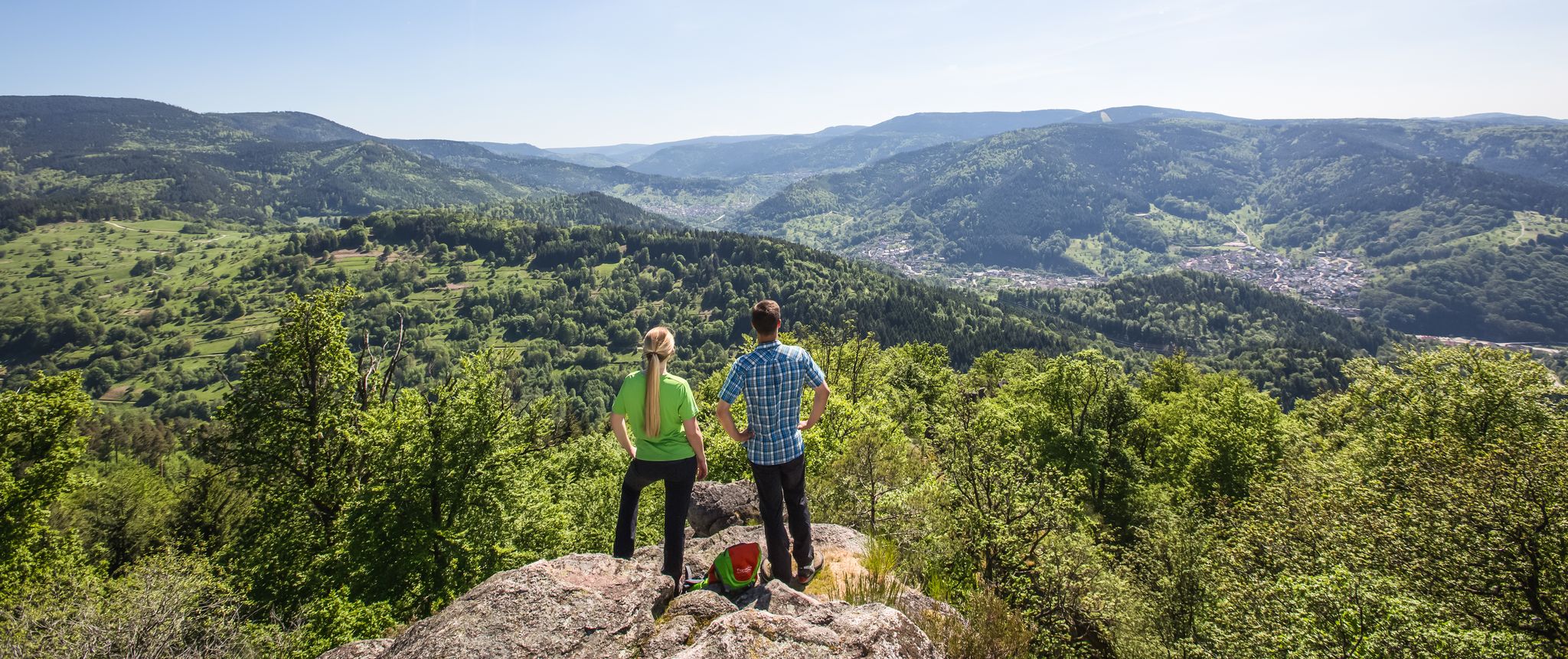
Murgleiter Trail – Experience the diverse Murg Valley in 5 stages
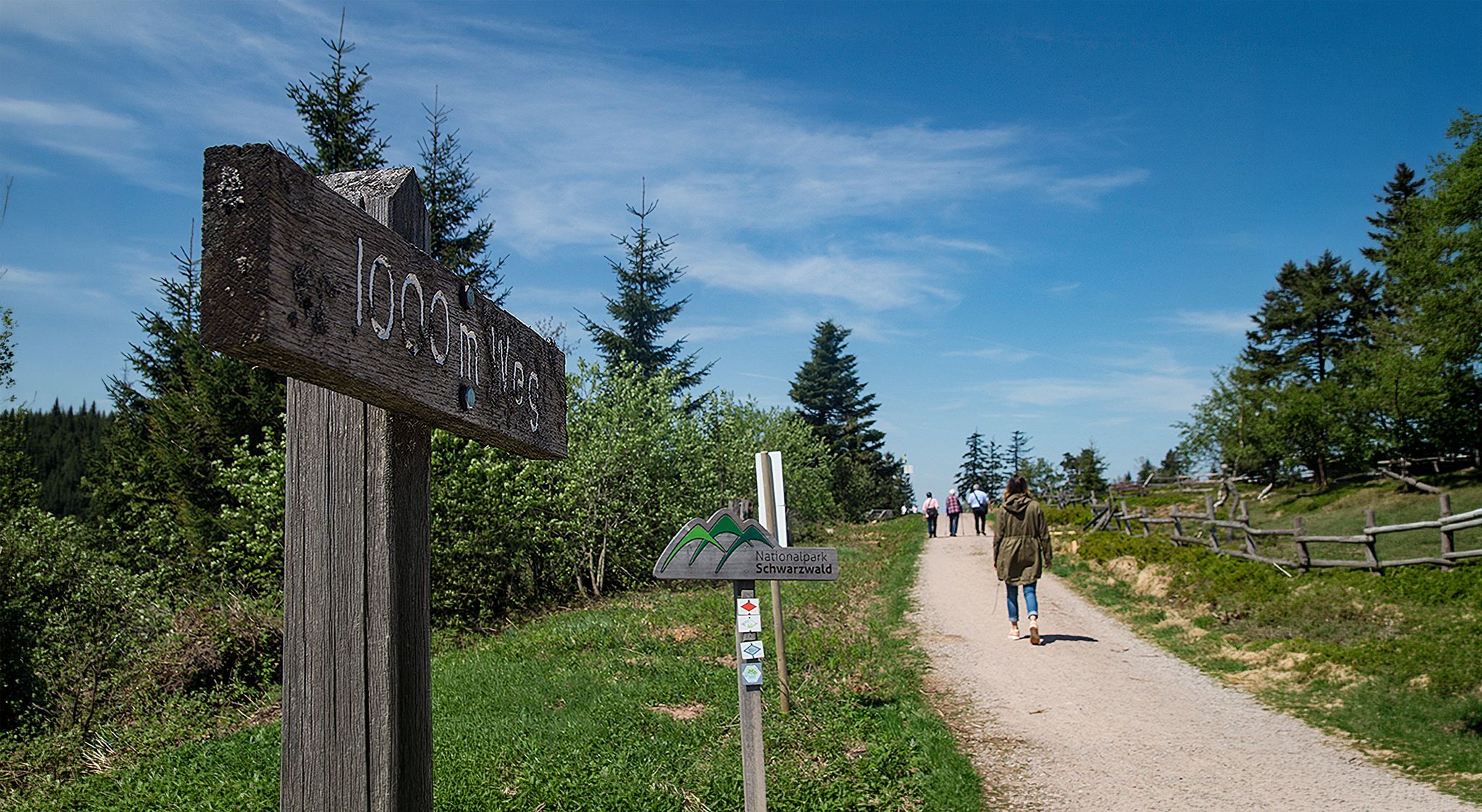
Barrier-free hikes in the Black Forest National Park

Coolcation in the Black Forest – hiking and cooling off in summer

#GoFurther – discover the views of Germany!

Discover premium and quality long-distance hiking in southern Germany
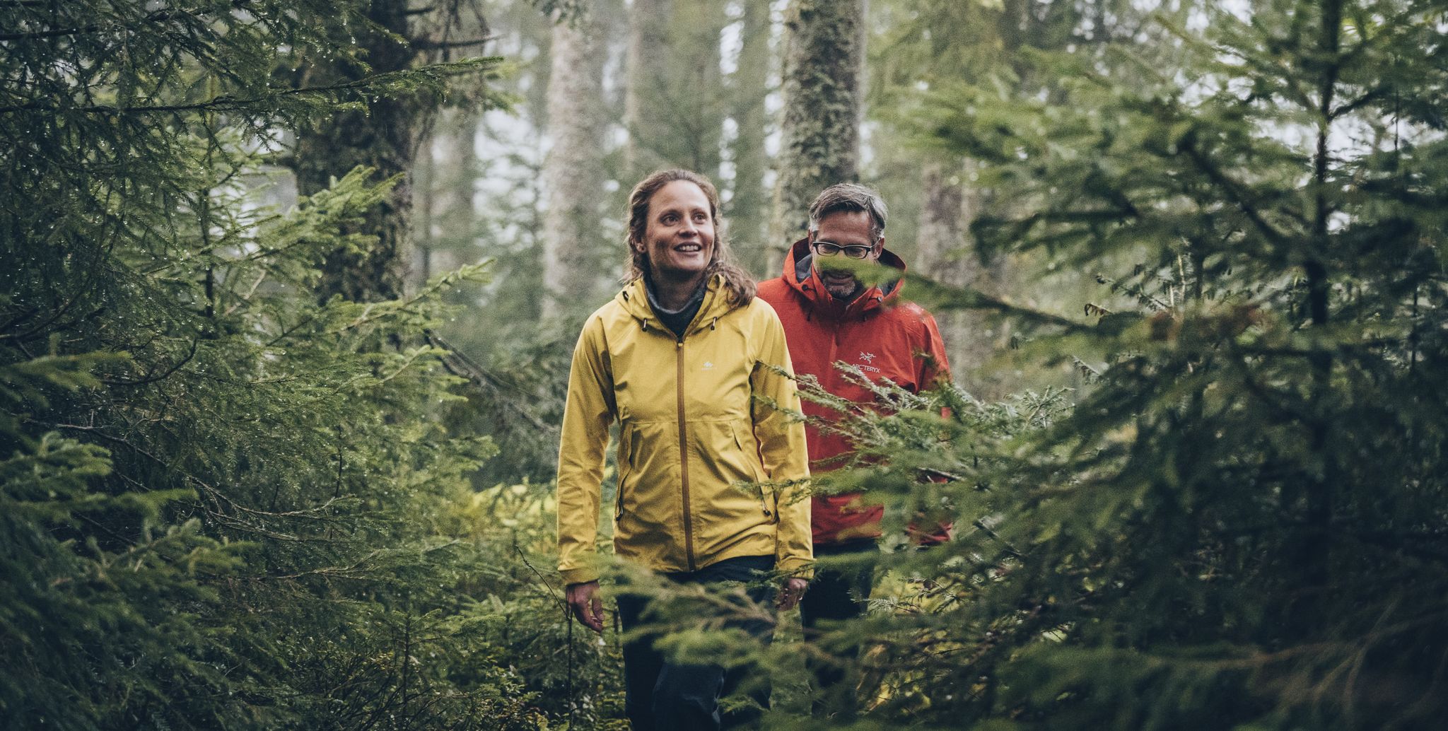
The Murgleiter – 5 days on the move in the northern Black Forest
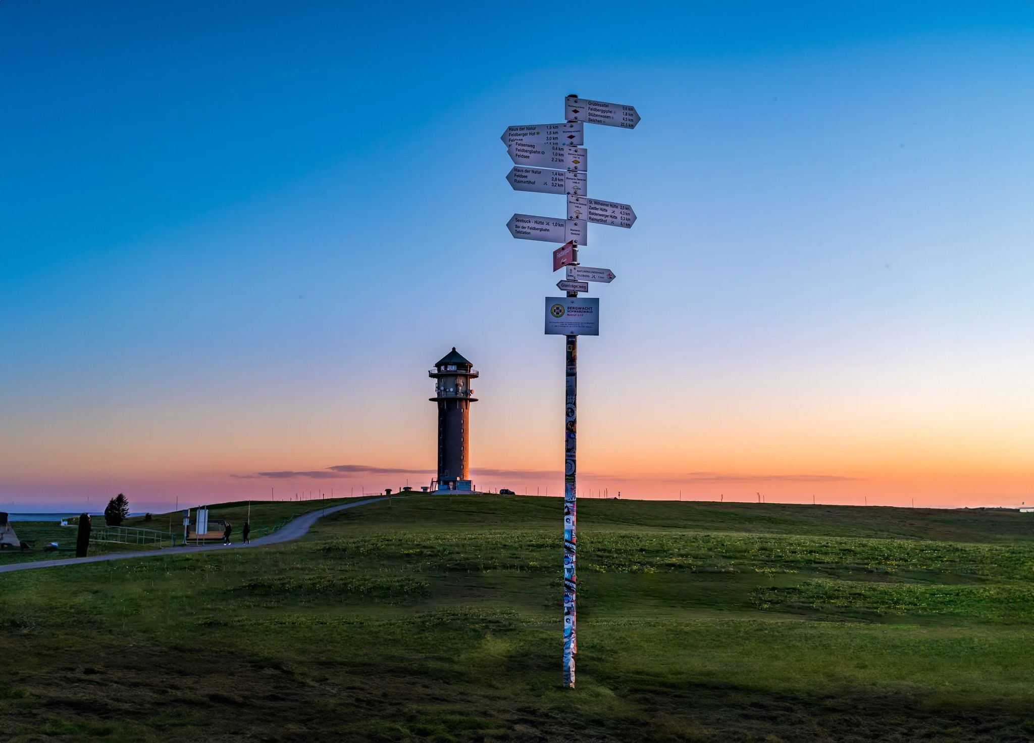
The most beautiful long-distance hiking trails in the Black Forest
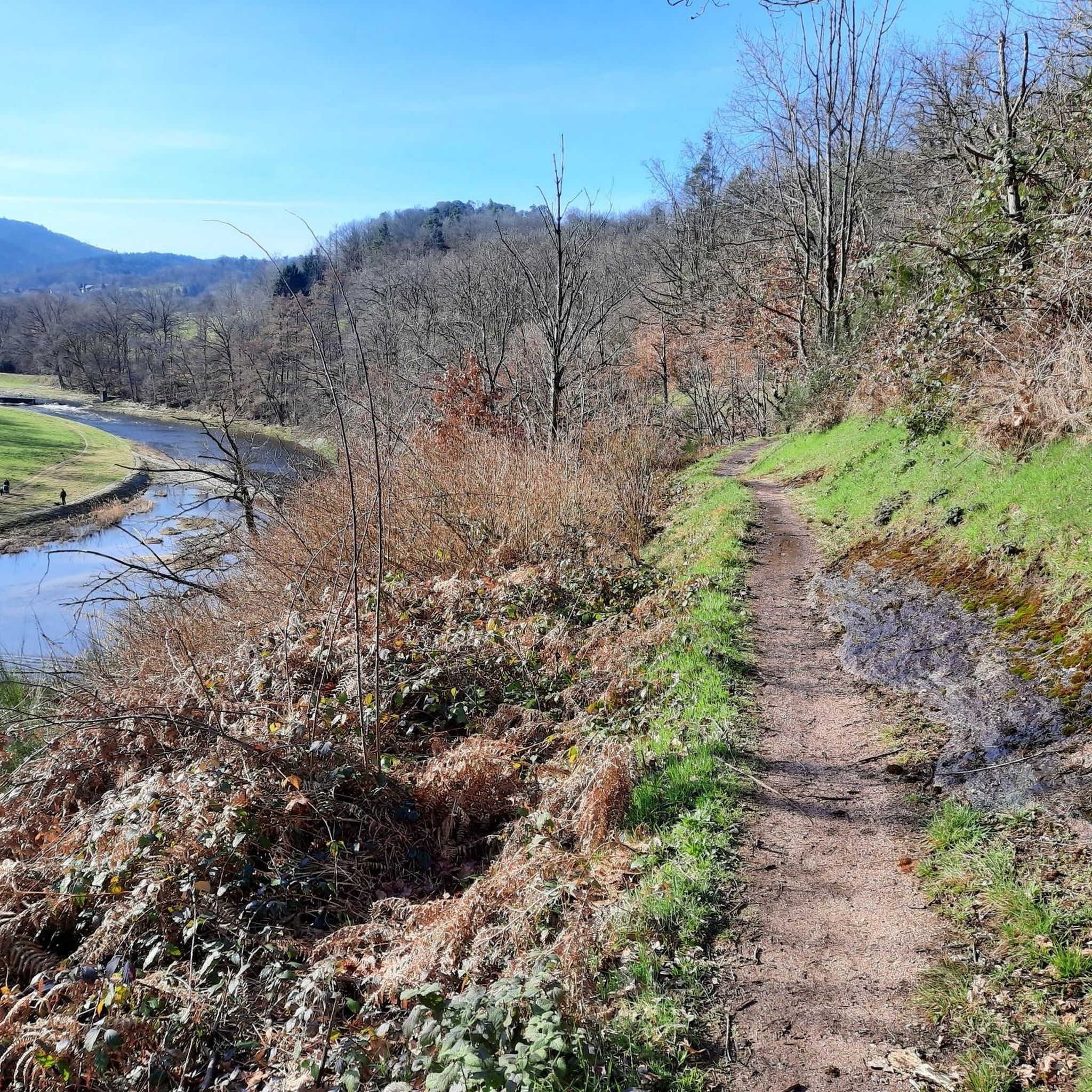
MTB Trails in Untere Murg (Lsg)
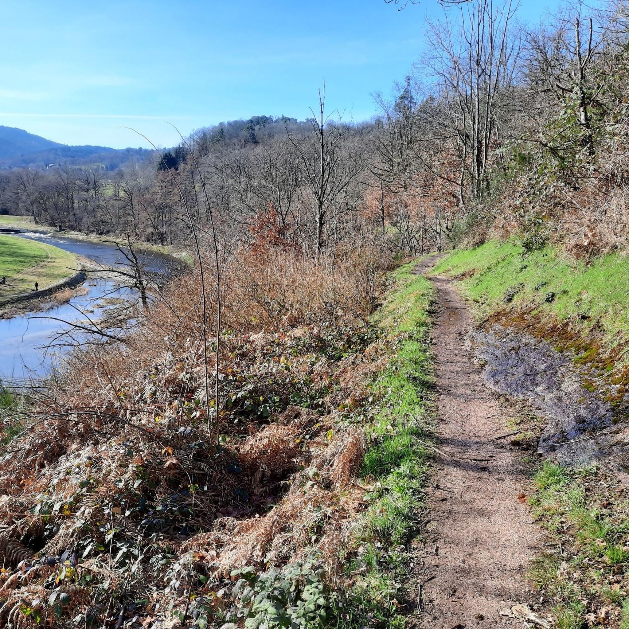
Hiking in Untere Murg (Lsg)
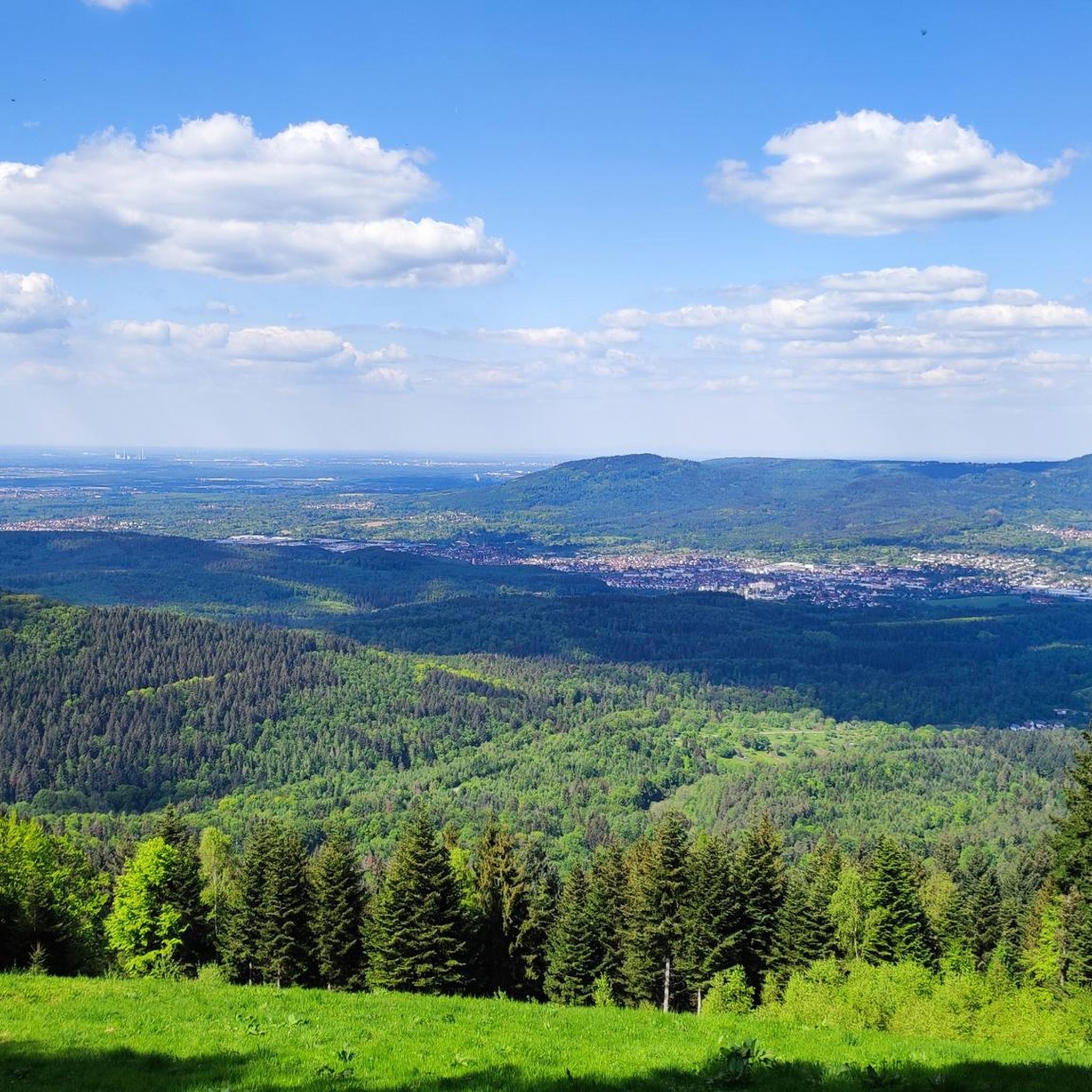
Road Cycling Routes in Untere Murg (Lsg)
Other adventures in Untere Murg (Lsg)


Tips from the Community

At the spot where the mountain railway tunnels under the gravel road, you have beautiful views over Baden-Baden. A good place for a breather.
1
0
Nice open space with views over the city and the local vineyards.
1
0

Not passable with MTB!!! Fallen trees, steep paths, big stones and co.
0
0

Beautiful view over the Murg to the old town and the surroundings.
4
0

Very beautiful view from the Merkur, located at 668 m altitude, into the Rhine plain, Vosges and Black Forest
0
0

Beautiful park surrounding the charming Favorit Castle...
0
0

Nice, but it's not really a cycling highlight. At best, it's something for experienced mountain bikers or hikers.
0
0

My wife has already enjoyed tea and homemade marble cake here this winter. It's simply wonderful. And it's beautifully quiet. At least during the week.
2
0
Frequently Asked Questions
How many gravel bike trails are available in Untere Murg (Lsg)?
Untere Murg (Lsg) offers a wide selection of gravel bike trails, with over 200 routes available on komoot. These routes cater to various skill levels, from moderate paths to more challenging ascents.
What is the typical length and duration of gravel bike trails in Untere Murg (Lsg)?
The gravel bike trails in Untere Murg (Lsg) vary in length and duration. For example, the Gernsbach Old Town – View from Merkur Mountain loop from Gernsbach is about 11.1 miles (17.9 km) and takes around 1 hour 25 minutes, while the Rotenfels Castle – Federbachbruch Nature Reserve loop from Battertfelsen beim Schloß Hohenbaden covers 25.9 miles (41.7 km) and typically takes around 2 hours 57 minutes.
Are there family-friendly gravel bike routes in Untere Murg (Lsg)?
Yes, Untere Murg (Lsg) offers routes suitable for families. While many trails involve some elevation, there are 21 easy routes and 83 moderate routes that can be enjoyed by those looking for a less strenuous ride. The region's diverse terrain includes smoother sections along waterways, which are often more suitable for family outings.
What are the difficulty levels of gravel bike trails in Untere Murg (Lsg)?
The trails range from moderate to difficult. You'll find 83 moderate routes and 102 difficult routes. For instance, the Gewerbekanal Cycle Path – Niederwald Forest Trail loop from Bad Rotenfels Bahnhof/Rotherma is considered moderate, while the Bernstein Hut (654 m) – Albtal Stream Trail loop from Hörden is a more difficult option with significant elevation gain.
When is the best time of year to go gravel biking in Untere Murg (Lsg)?
The region's climate generally makes spring through autumn ideal for gravel biking, offering pleasant temperatures and vibrant scenery. While some trails might be accessible in winter, conditions can be variable due to snow or ice, especially in higher elevations or shaded forest paths.
Are there circular gravel bike routes in Untere Murg (Lsg)?
Many of the gravel bike routes in Untere Murg (Lsg) are designed as loops, allowing you to start and end at the same point. Examples include the Butterfly Trail – View from Merkur Mountain loop from Kuppenheim and the Gewerbekanal Cycle Path – Niederwald Forest Trail loop from Bad Rotenfels Bahnhof/Rotherma.
What scenic viewpoints can I find along the gravel bike trails?
Several trails lead to stunning viewpoints. The Butterfly Trail – View from Merkur Mountain loop from Kuppenheim, for example, offers views from Merkur Mountain. You can also visit the Merkur Tower (Merkurturm) for panoramic vistas of the region and the Rhine Valley.
Are there places to eat or drink near the gravel bike routes?
Yes, you can find options for refreshments. For instance, the Merkurstüble Restaurant is located near some of the trails ascending Merkur Mountain, offering a convenient stop for a meal or drink.
What historical sites or natural monuments can be explored while gravel biking?
The region is rich in both. You can explore historical sites like Rotenfels Castle, as featured in the Rotenfels Castle – Federbachbruch Nature Reserve loop. Natural monuments include the Galgenberg, Lieblingsfelsen, and Scheibenberg Nature Reserve, offering diverse landscapes to discover.
What do other gravel bikers enjoy most about gravel biking in Untere Murg (Lsg)?
The area is highly rated by the komoot community, with an average score of 4.5 stars from over 190 reviews. Reviewers often praise the diverse landscape, which includes the Murg river valley, dense forests, and rolling hills, as well as the mix of established forest paths and riverside trails.
Where do gravel bike trails in Untere Murg (Lsg) typically start?
Trailheads are often located near towns and accessible points. For example, routes like the Bernstein Hut (654 m) – Albtal Stream Trail loop starts from Hörden, while the Gewerbekanal Cycle Path – Niederwald Forest Trail loop begins near Bad Rotenfels Bahnhof/Rotherma, often providing convenient parking or public transport access.
Most popular routes in Untere Murg (Lsg)
Most popular attractions in Untere Murg (Lsg)

Get inspired with the komoot mobile app


Explore more
Browse the best Gravel rides in other regions.
