The best gravel rides in Thomasschollen
4.4
(24)
105
riders
19
rides
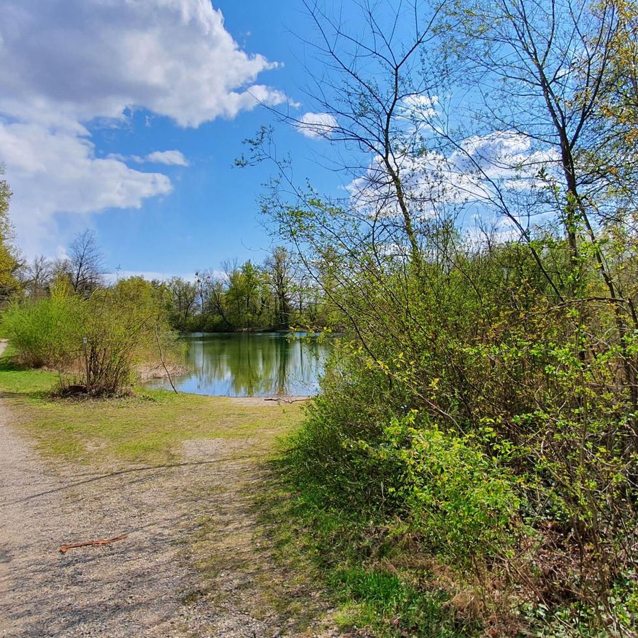
Gravel biking in Thomasschollen features routes primarily through flat river landscapes and nature reserves. The terrain is characterized by extensive floodplains, riverbanks, and canal paths, offering consistent surfaces suitable for gravel bikes. Elevation gains are minimal, making the area accessible for long-distance rides without significant climbs. The region's network of trails provides opportunities to explore natural areas and waterways.
Best gravel bike trails in Thomasschollen
- The most popular gravel bike trail is Elzwiesen Nature Reserve – Taubergießen Floodplain loop from…
Last updated: July 3, 2026
3
riders
Moderate gravel ride. Good fitness required. Mostly paved surfaces. Suitable for all skill levels.
4.0
(1)
8
riders
Moderate gravel ride. Good fitness required. Mostly paved surfaces. Suitable for all skill levels.

Sign up for free
4.6
(5)
18
riders
Moderate gravel ride. Good fitness required. Mostly paved surfaces. Suitable for all skill levels.
3.0
(2)
5
riders
Hard gravel ride. Good fitness required. You may need to push your bike for some segments of this route.
5.0
(2)
4
riders
35.3km
02:15
40m
40m
Moderate gravel ride. Good fitness required. Mostly paved surfaces. Suitable for all skill levels.
Get access to more routes and recommendations from other explorers.
Sign up for free
Already have an account?
Our route recommendations are based on thousands of hikes, rides, and runs completed by other people on komoot.
Start today with a free account
Your next adventure awaits.
Login or Signup
Tips from the Community

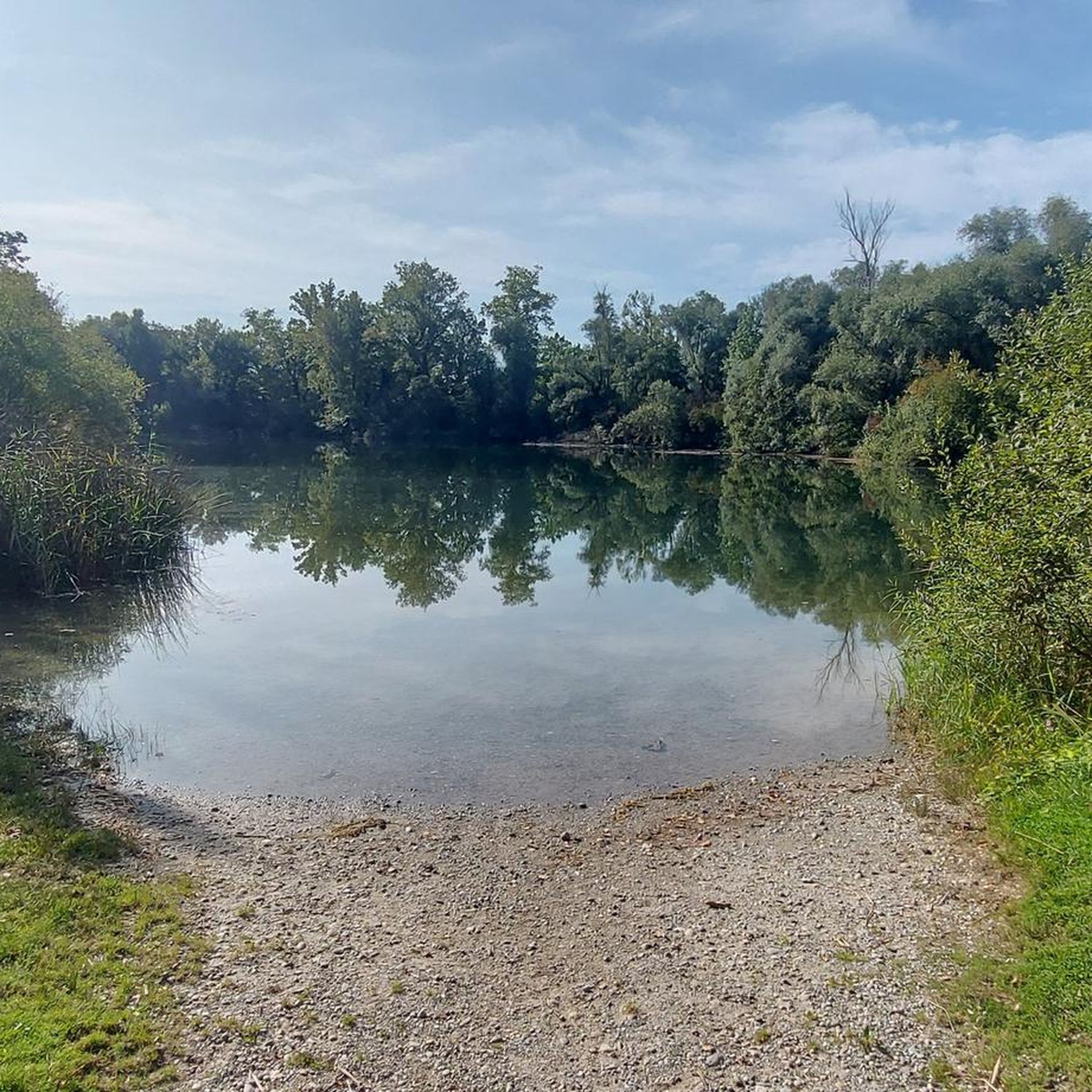
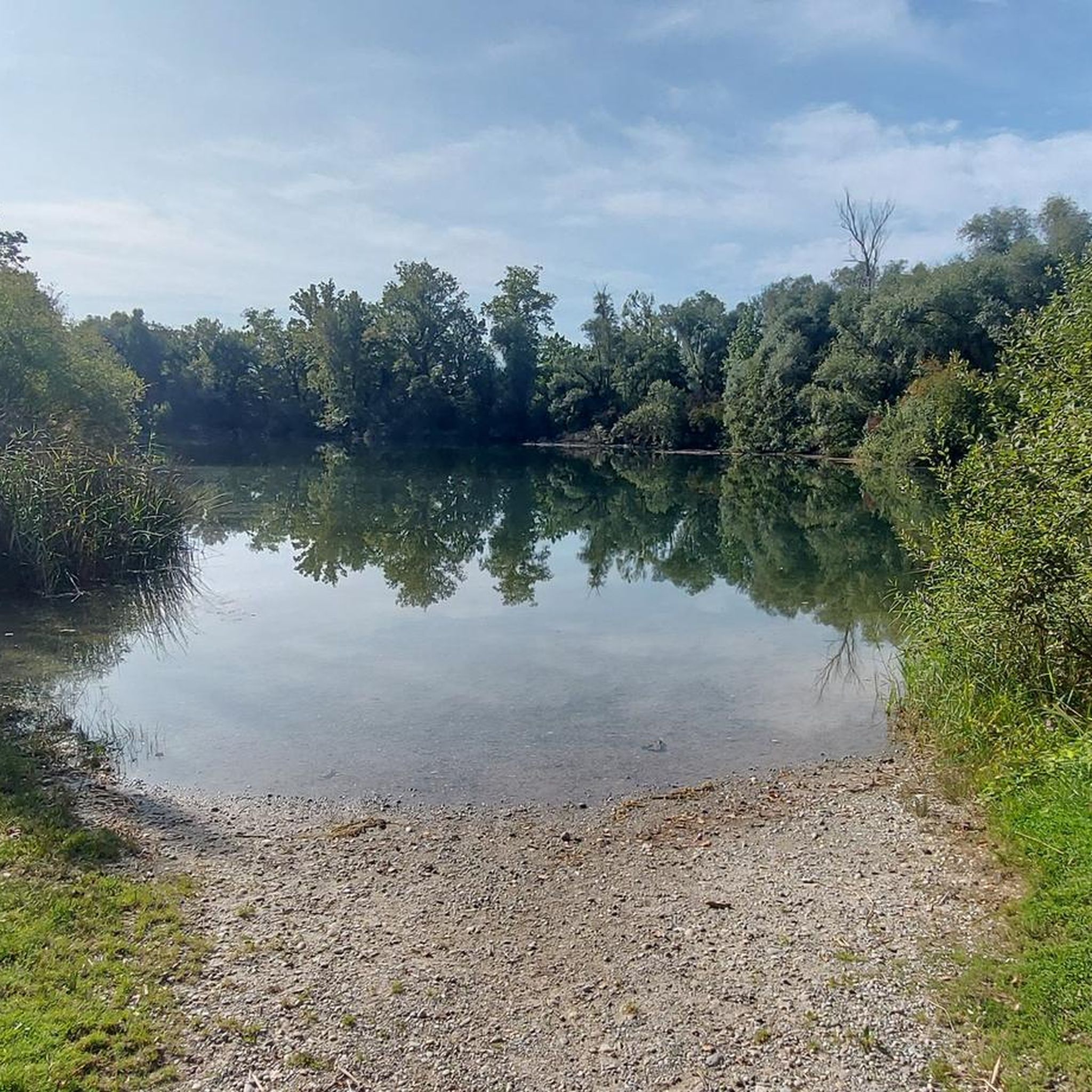
An absolute natural idyll. Absolutely beautiful!!
1
0

These boats are still sailing there, the locks are working 🤪
0
0

A beautiful tower for birdwatching. Spacious with seating for observing or photographing the birds.
0
0


Super beautiful cycle path along the Canal du Rohne.
0
0
Great path along the canal. Great route!
0
0
Beautiful cycle path along the canal.
0
0
Frequently Asked Questions
What kind of terrain can I expect when gravel biking in Thomasschollen?
Gravel biking in Thomasschollen primarily features routes through flat river landscapes and nature reserves. The terrain is characterized by extensive floodplains, riverbanks, and canal paths, offering consistent surfaces suitable for gravel bikes. Elevation gains are minimal, making the area accessible for long-distance rides without significant climbs.
How many gravel bike trails are available in Thomasschollen?
There are nearly 30 gravel bike trails available in Thomasschollen, catering to various skill levels. These include 8 easy, 10 moderate, and 11 difficult routes, ensuring options for every rider.
Are there any family-friendly gravel bike routes in Thomasschollen?
While specific family-friendly routes aren't explicitly designated, the generally flat terrain and minimal elevation gains across many trails in Thomasschollen make them suitable for families. Routes through nature reserves and along riverbanks often provide a pleasant and accessible experience for all ages.
What is the best time of year to go gravel biking in Thomasschollen?
Given the region's flat river landscapes and nature reserves, spring and autumn are generally ideal for gravel biking in Thomasschollen. These seasons offer pleasant temperatures and vibrant scenery. Summer can also be enjoyable, though it's wise to start early to avoid the midday heat. Winter riding is possible, but conditions may vary, especially on unpaved paths.
Are there circular gravel bike routes in Thomasschollen?
Yes, many of the gravel bike routes in Thomasschollen are designed as loops. For example, the Elzwiesen Nature Reserve – Taubergießen Floodplain loop from VVG der Gemeinde Schwanau and the André Bord Bridge – Footbridge of the Two Banks loop from Meißenheim are popular circular options, allowing you to start and end at the same point.
What do other gravel bikers enjoy most about Thomasschollen?
The komoot community highly rates gravel biking in Thomasschollen, with an average score of 4.8 stars from over 30 reviews. Riders often praise the serene nature reserves, extensive floodplains, and well-maintained canal paths that offer a unique and enjoyable riding experience.
What are some notable natural features or landmarks I might encounter on the trails?
Many routes in Thomasschollen traverse significant natural areas. You can expect to ride through protected nature reserves like the Elzwiesen Nature Reserve and the Taubergießen Floodplain, as well as along scenic riverbanks and canal paths. These areas offer opportunities to observe local flora and fauna.
How long are the gravel bike trails in Thomasschollen?
The gravel bike trails in Thomasschollen vary in length. For instance, the Elzwiesen Nature Reserve – Taubergießen Floodplain loop from VVG der Gemeinde Schwanau is about 31.2 miles (50.2 km), while the André Bord Bridge – Footbridge of the Two Banks loop from Meißenheim extends to 40.5 miles (65.2 km). There are options for shorter and longer rides depending on your preference.
Are there any beginner-friendly gravel bike routes in Thomasschollen?
Yes, Thomasschollen offers 8 easy-rated gravel bike routes. These trails typically feature flat terrain and well-maintained paths, making them ideal for beginners or those looking for a relaxed ride. The minimal elevation changes across the region contribute to their accessibility.
Can I find cafes or places to rest near the gravel bike trails?
While specific cafes directly on the trails are not detailed in the guide, routes often pass through or near villages and towns where you can find amenities. It's advisable to check your chosen route on komoot for points of interest or nearby settlements where you can find refreshments and rest stops.
What is the typical elevation gain on gravel bike routes in Thomasschollen?
Gravel bike routes in Thomasschollen are characterized by minimal elevation gains. For example, a 31-mile route like the Elzwiesen Nature Reserve – Taubergießen Floodplain loop from VVG der Gemeinde Schwanau has an elevation gain of only about 69 meters, making the rides generally flat and less strenuous.
Are there any advanced or difficult gravel biking options in Thomasschollen?
Yes, Thomasschollen offers 11 routes rated as difficult for gravel biking. These trails might involve longer distances, more varied surfaces, or slightly more challenging sections compared to the easy or moderate options, providing a good test for experienced riders.
Most popular routes in Thomasschollen

Get inspired with the komoot mobile app


Explore more
Browse the best Gravel rides in other regions.
