The best gravel rides in Roßberg
4.5
(4)
14
riders
6
rides
Gravel biking in Roßberg offers diverse landscapes across the northern edge of the Swabian Alb. The region features a mix of gravel paths, forest roads, and meadow trails, with some sections including stony paths and roots. Topography includes both challenging ascents and rewarding descents, providing varied terrain for gravel cyclists. The area is characterized by dense forests, open meadows, and traditional fruit orchards.
Best gravel bike trails in Roßberg
- The most popular gravel bike trail is Gliding Airfield Wasserkuppe –…
Last updated: July 3, 2026
1
riders
27.5km
01:53
410m
410m
Moderate gravel ride. Good fitness required. Mostly paved surfaces. Suitable for all skill levels.
5.0
(2)
3
riders
59.9km
03:55
1,050m
1,050m
Hard gravel ride. Very good fitness required. Mostly paved surfaces. Suitable for all skill levels.

Sign up for free
1
riders
18.3km
01:18
390m
390m
Moderate gravel ride. Good fitness required. Mostly paved surfaces. Suitable for all skill levels.
2
riders
15.0km
00:56
180m
180m
Moderate gravel ride. Good fitness required. Mostly paved surfaces. Suitable for all skill levels.
2
riders
25.3km
01:33
370m
370m
Moderate gravel ride. Good fitness required. Mostly paved surfaces. Suitable for all skill levels.
Our route recommendations are based on thousands of hikes, rides, and runs completed by other people on komoot.
Start today with a free account
Your next adventure awaits.
Login or Signup
Tips from the Community

The first documented mention of Geisa dates back to the year 817. In 1302, the designation of city appears for the first time in a document. The chronicler once described the old town, picturesquely beautiful, as a "strawberry in a moss basket" on a long ridge (280 to 322 m above sea level) between the mountain tops of the Vordere Rhön. The towers of the parish church, the town hall and the Schlossplatz ensemble, the historically grown arrangement of residential buildings in conjunction with the approx. 1000 m long town fortifications and the park-like designed summit of the Gangolfiberg with an ancient court and the architecturally historically valuable cemetery chapel "St. Gangolf" with an external pulpit, shape a romantically dreamy image. Source: https://www.thueringen.info/ort/geisa/
1
0
The 529 m high Rockenstuhl is the landmark of the Geisaer Land and is located about 5 km south of Geisa between the Ulster and Geisa valleys. At the foot of the mountain is the five-meter-high "Kreuz der Geiserämter" (Cross of the Geisa Offices), which was solemnly consecrated during the medieval festival in 2006. The Geisaer Amt with its razed farms is depicted on a basalt surface.
1
0

Very worthwhile to walk there - beautiful view from the tower.
0
0

Beautiful old town in Geisa.
0
0
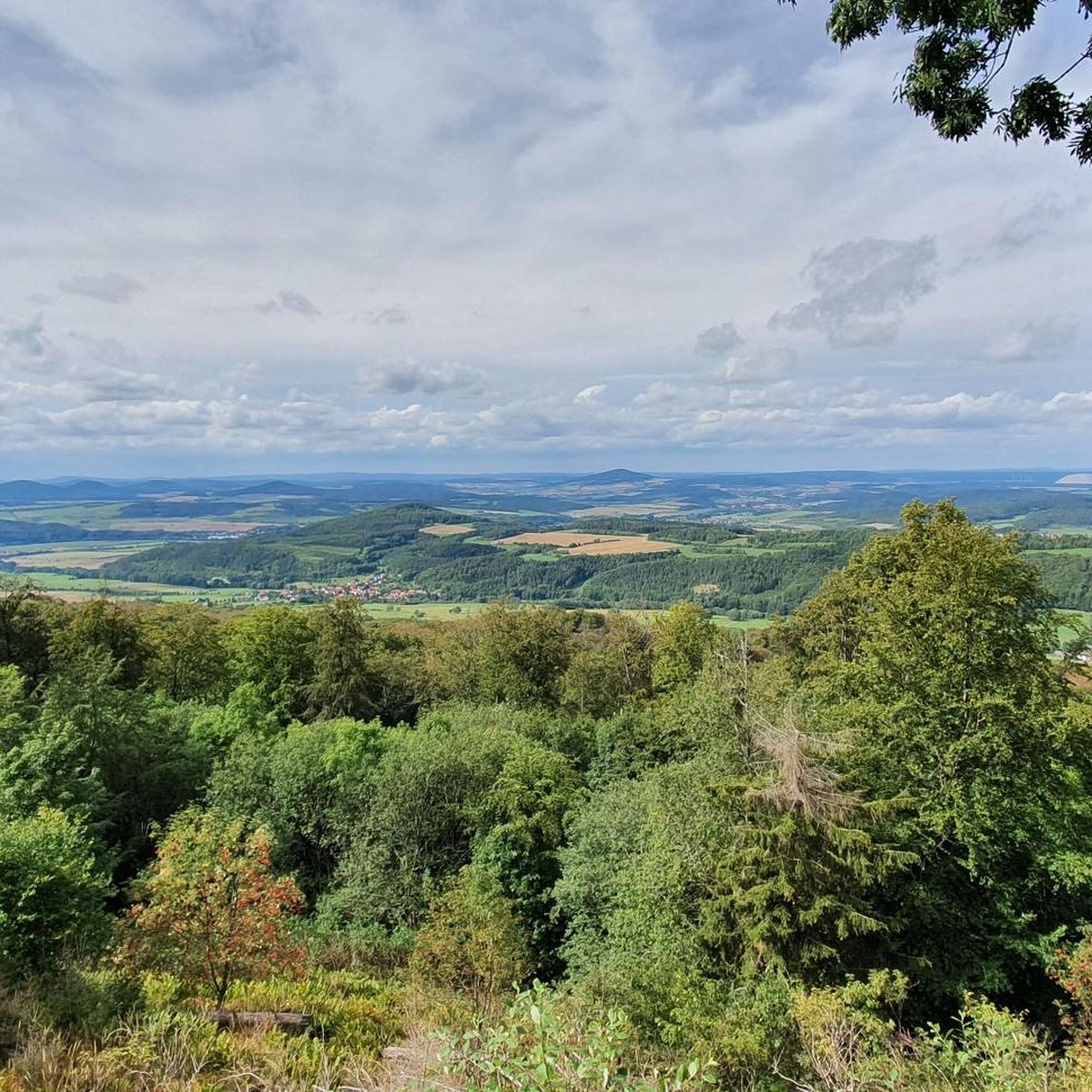
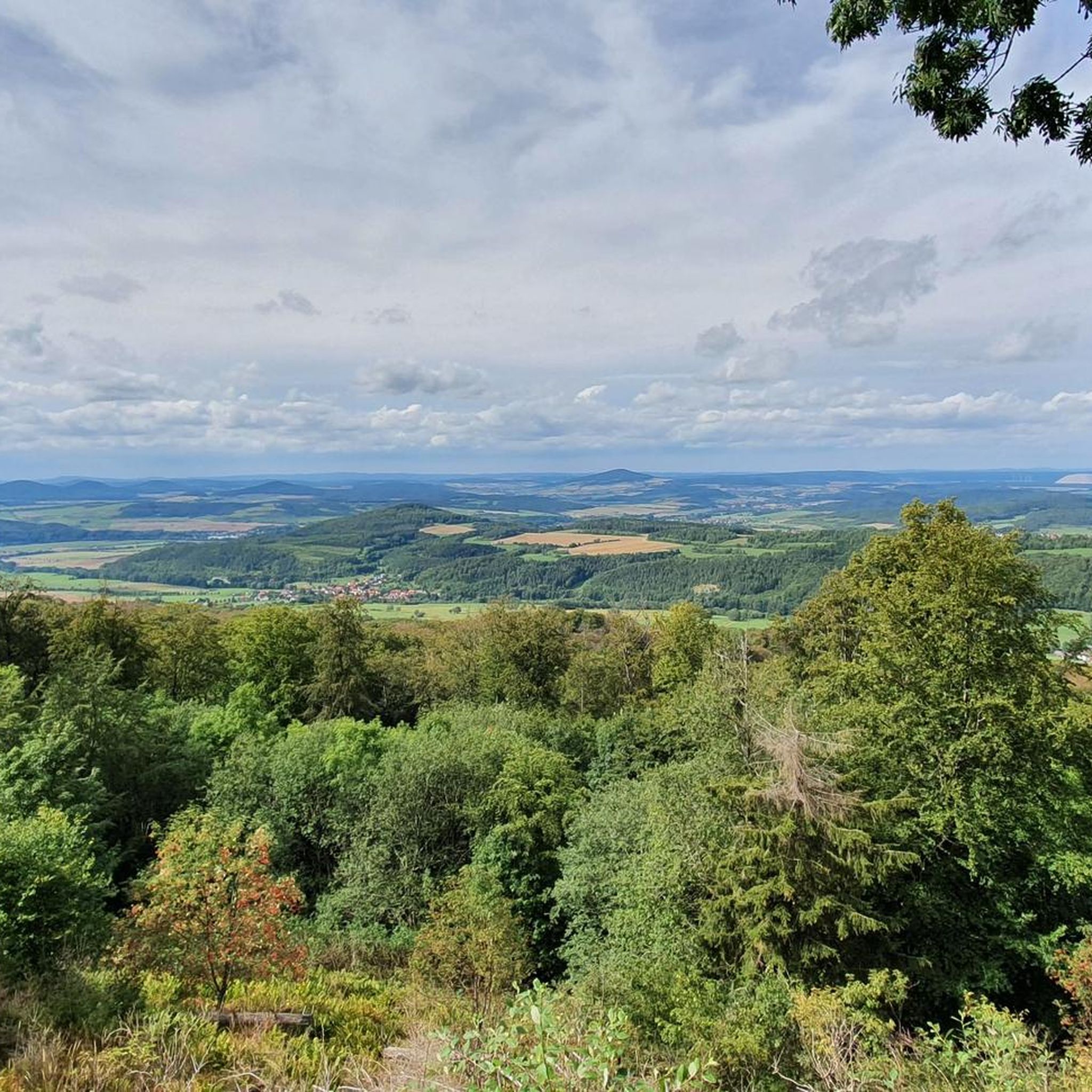
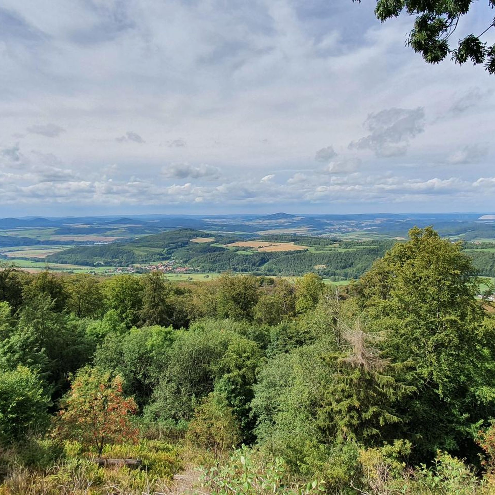
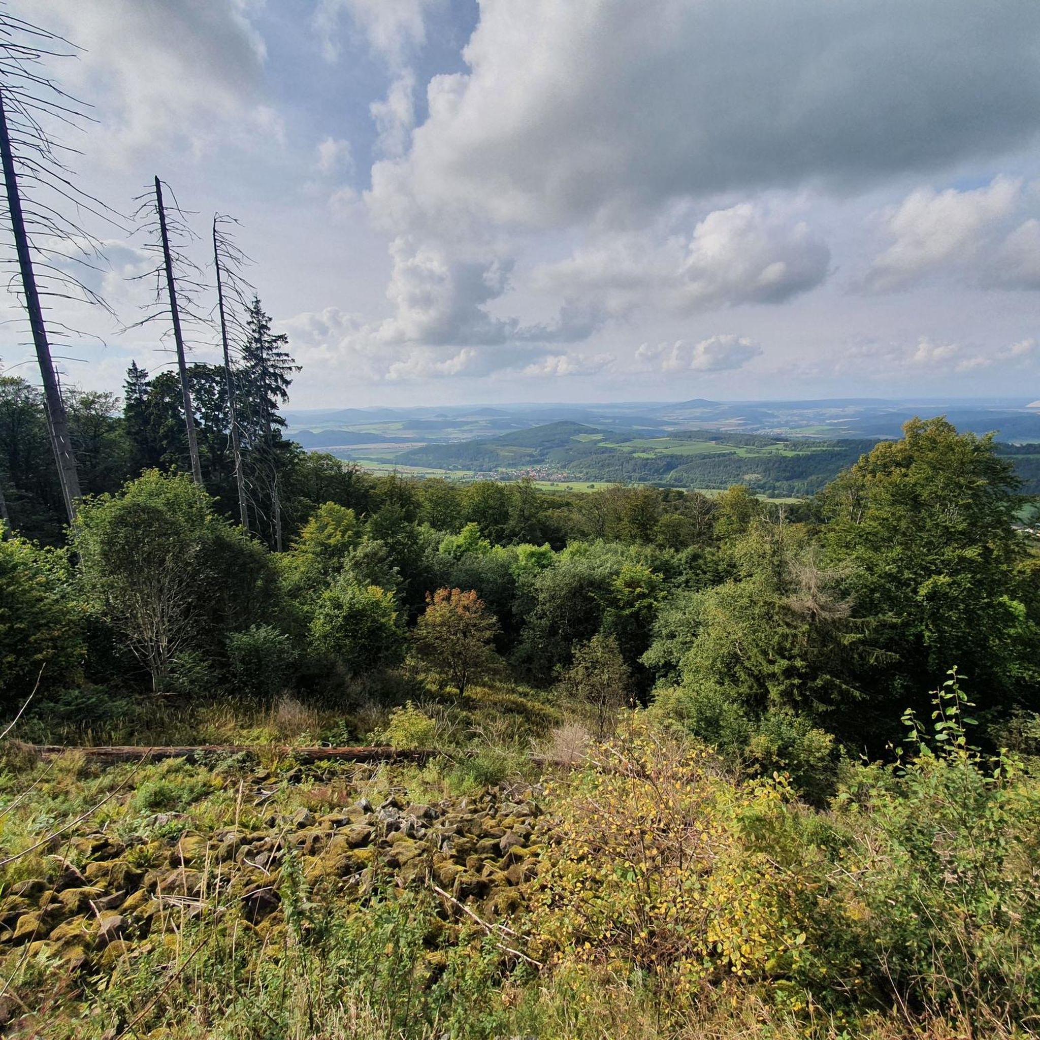
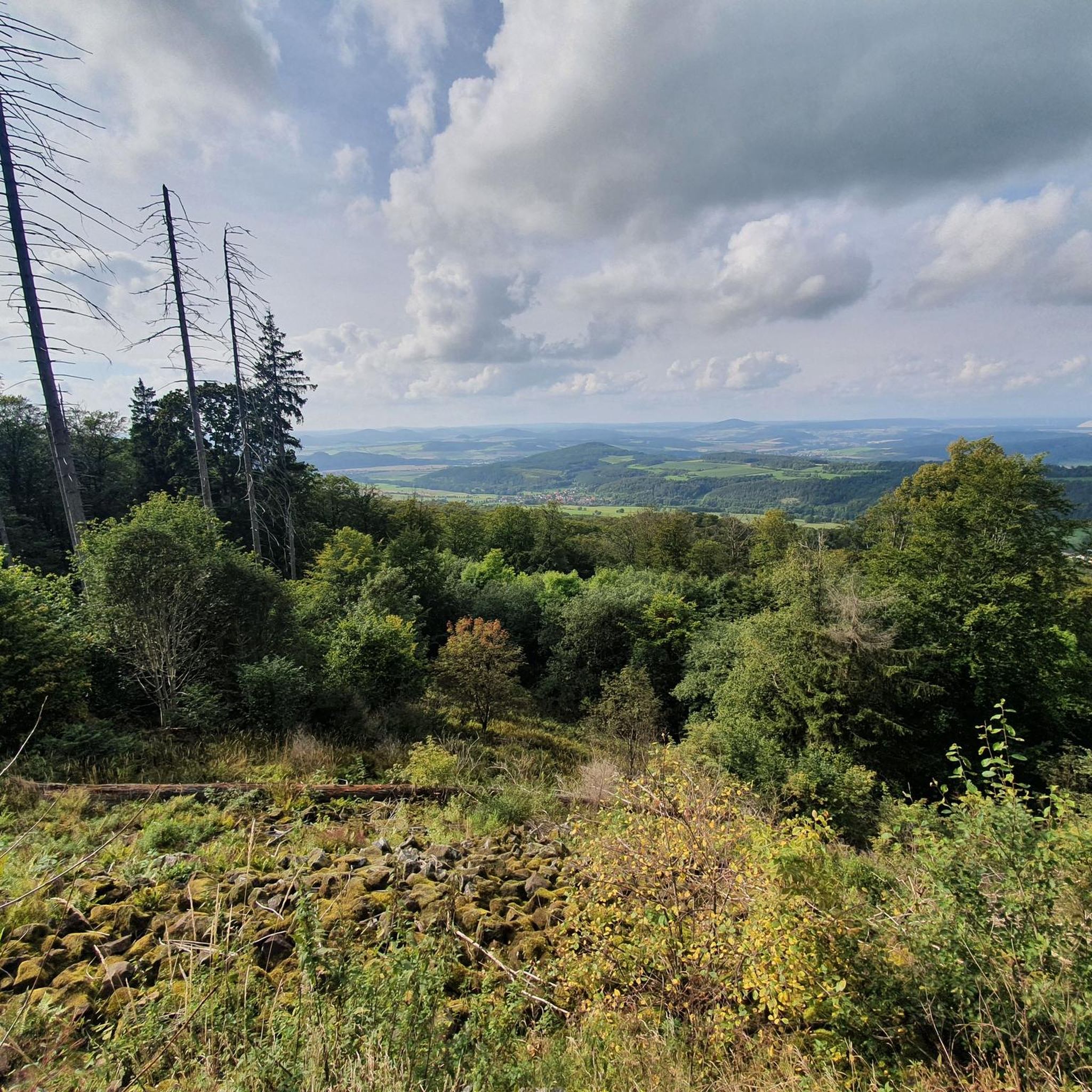
Beautiful view of the Rhön.
0
0

Ulstertal cycle path between Schleid and Motzlar, here asphalted
0
0

A truly picturesque old town with a beautiful town hall and impressive castle.
1
0
It's not only from the bench that you can enjoy a beautiful panorama!
1
0
Frequently Asked Questions
How many gravel bike trails are available in Roßberg?
Roßberg offers a diverse network of around 10 gravel bike trails. These routes traverse varied terrain, including gravel paths, forest roads, and meadow trails, providing options for different preferences.
What kind of terrain can I expect on gravel bike trails in Roßberg?
The gravel bike trails in Roßberg feature a mix of terrain, including gravel paths, forest roads, and meadow trails. You might also encounter some stony paths with roots. The region's topography, part of the northern Swabian Alb, provides both challenging ascents and rewarding descents through dense forests, open meadows, and traditional fruit orchards.
What natural features or landmarks can I see along the gravel bike trails in Roßberg?
Many routes offer stunning views from the Roßbergturm, a 28-meter observation tower with panoramic vistas across the Alb plateau and even to the distant Alps on clear days. You might also encounter the serene Gönninger Seen, former tuff quarries now home to various bird species, or the unique Wiesaz Waterfall, flowing through an almost 'jungle-like' valley. The Filsenberg Nature Reserve, known for rare plants like orchids, is also a notable feature in the area.
Are there options for different skill levels on the Roßberg gravel trails?
Yes, Roßberg offers gravel biking routes for both moderate and difficult ability levels. Approximately half of the available routes are considered moderate, while the other half are more challenging, featuring significant elevation gains and varied terrain.
Are there any family-friendly gravel biking options in Roßberg?
While many routes in Roßberg involve significant elevation and varied terrain, some of the moderate trails might be suitable for families with older children or those with good fitness levels. For example, the Geiserämter Kreuz Viewpoint – Ulster River near Geisa loop from Geisa is a moderate 17.1-mile (27.5 km) trail that can be completed in under two hours, offering a less strenuous option.
Can I bring my dog on the gravel bike trails in Roßberg?
Generally, dogs are welcome on most public trails in the Roßberg area, especially on forest roads and open paths. However, it's always advisable to keep your dog on a leash, particularly in nature reserve areas like the Filsenberg, to protect local wildlife and flora. Be mindful of other trail users and ensure your dog is well-behaved.
Where can I find parking for gravel biking in Roßberg?
Parking is typically available at common trailheads and near popular attractions. For instance, there are parking facilities close to the Roßbergturm and Wanderheim, which serve as excellent starting points for many routes. Specific parking information for individual routes can often be found on their respective komoot tour pages.
How can I reach the gravel bike trails in Roßberg using public transport?
Public transport options to Roßberg are available, primarily connecting through Reutlingen. Buses can take you to villages at the base of Roßberg, from where you can access various trailheads. It's recommended to check local bus schedules and policies regarding bicycle transport in advance, as services may vary.
Are there places to eat or stay near the gravel bike trails in Roßberg?
Yes, the Wanderheim Roßberg, located adjacent to the Roßbergturm, offers a place for rest and refreshments, including Swabian cuisine and a beer garden with scenic views. It also provides overnight stays. For more information, you can visit visitreutlingen.de. Additionally, nearby towns and villages offer various accommodation and dining options.
What is the best time of year for gravel biking in Roßberg?
The best time for gravel biking in Roßberg is generally from spring to autumn. During these seasons, the weather is usually mild, and the trails are in good condition. Spring brings blooming orchards and fresh greenery, while autumn offers vibrant fall foliage. Winter riding is possible but can be challenging due to snow and ice, especially on higher elevations and shaded forest paths.
Are there any circular gravel bike routes in Roßberg?
Yes, many of the gravel bike routes in Roßberg are designed as loops, allowing you to start and end at the same point. An example is the Ulster River near Geisa – Geiserämter Kreuz Viewpoint loop from Geisa, a moderate 14.9-mile (24 km) route that offers a scenic circular experience.
What do other gravel bikers enjoy most about gravel biking in Roßberg?
The komoot community highly rates the gravel biking experience in Roßberg, with an average score of 5.0 stars. Reviewers often praise the diverse landscapes, the mix of challenging ascents and rewarding descents, and the stunning panoramic views from points like the Roßbergturm. The varied terrain, from forest roads to open meadows, is also frequently highlighted as a key enjoyment factor.
Most popular routes in Roßberg

Get inspired with the komoot mobile app


Explore more
Browse the best Gravel rides in other regions.
