The best gravel rides in Wandelpark Tegelen
4.5
(146)
1,696
riders
118
rides
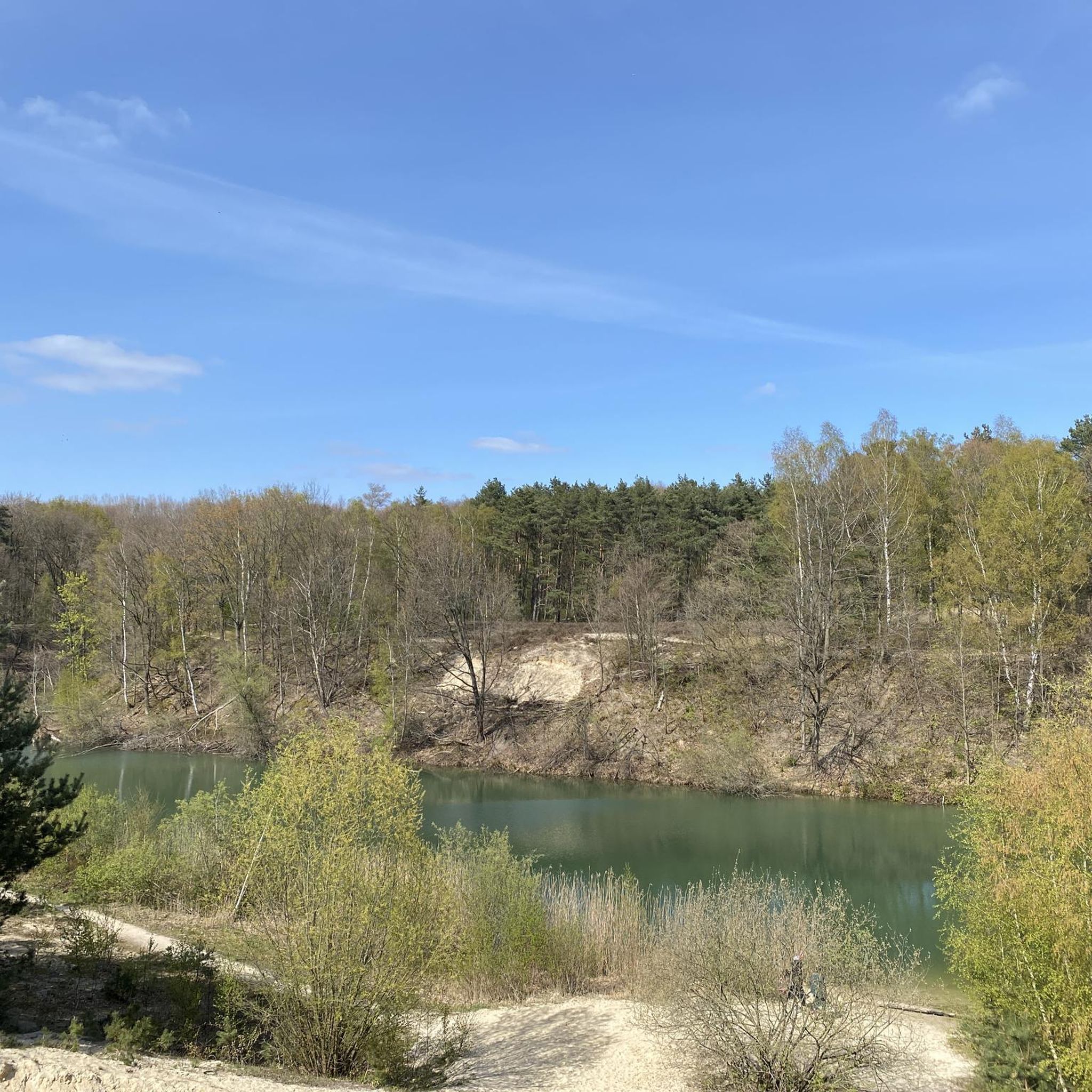
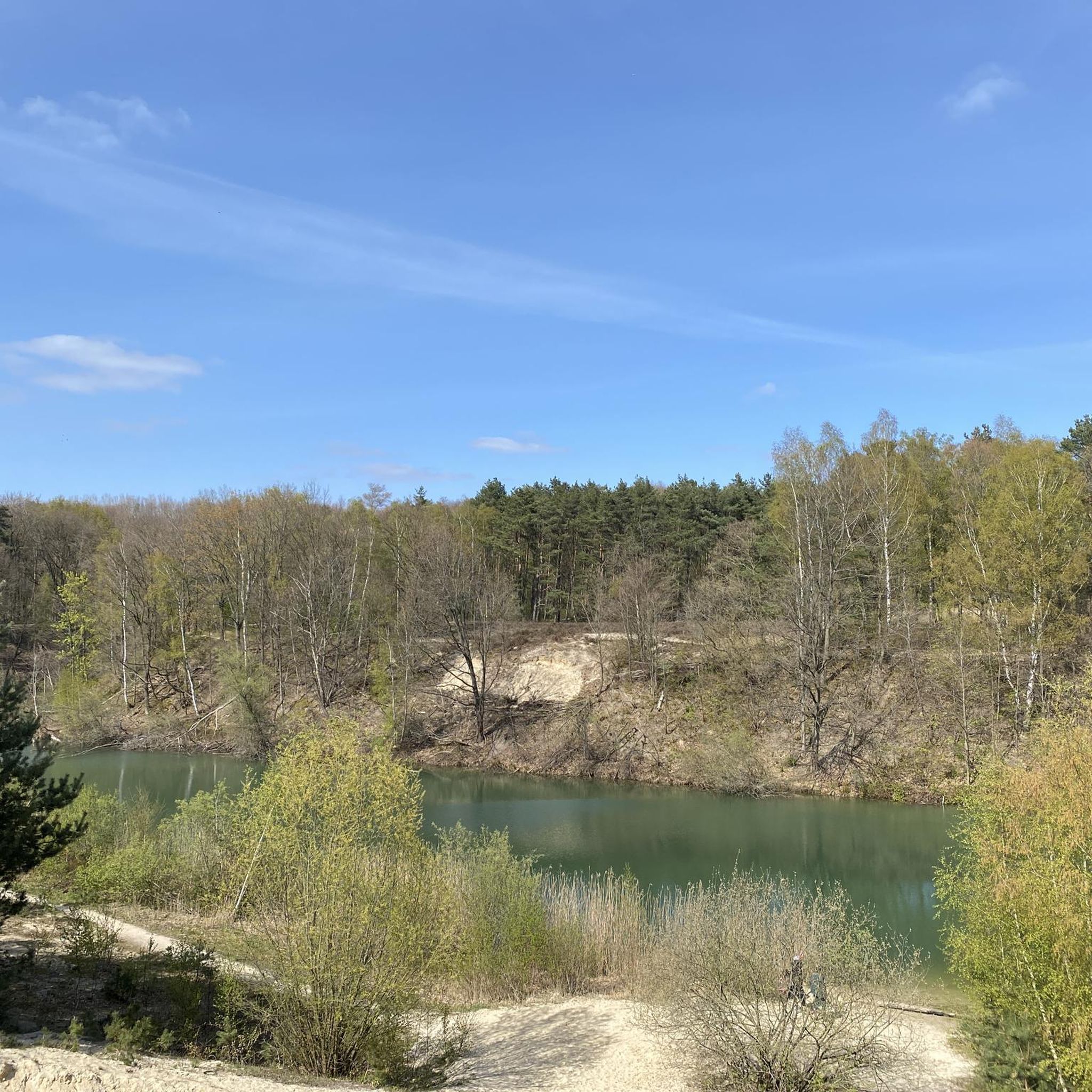
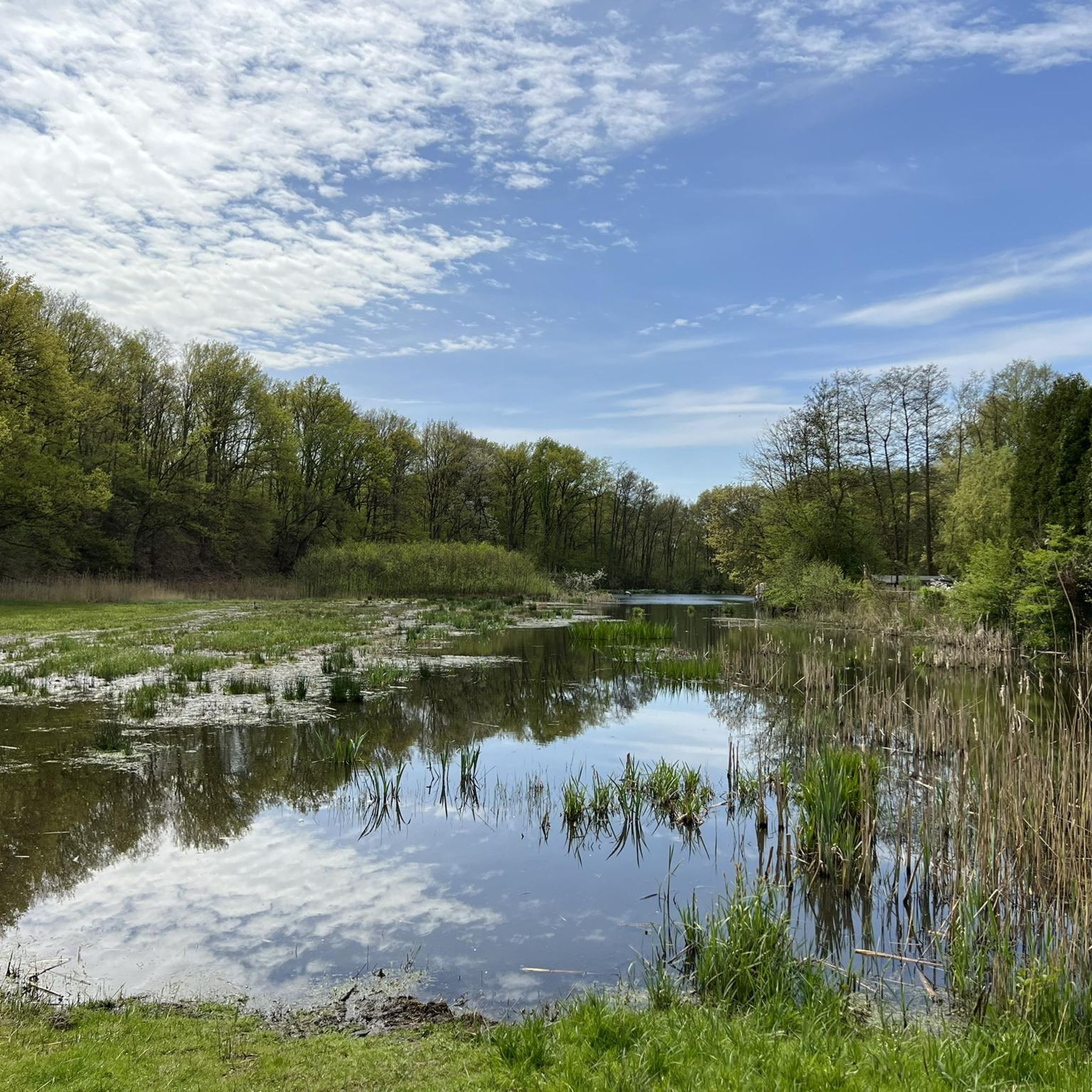
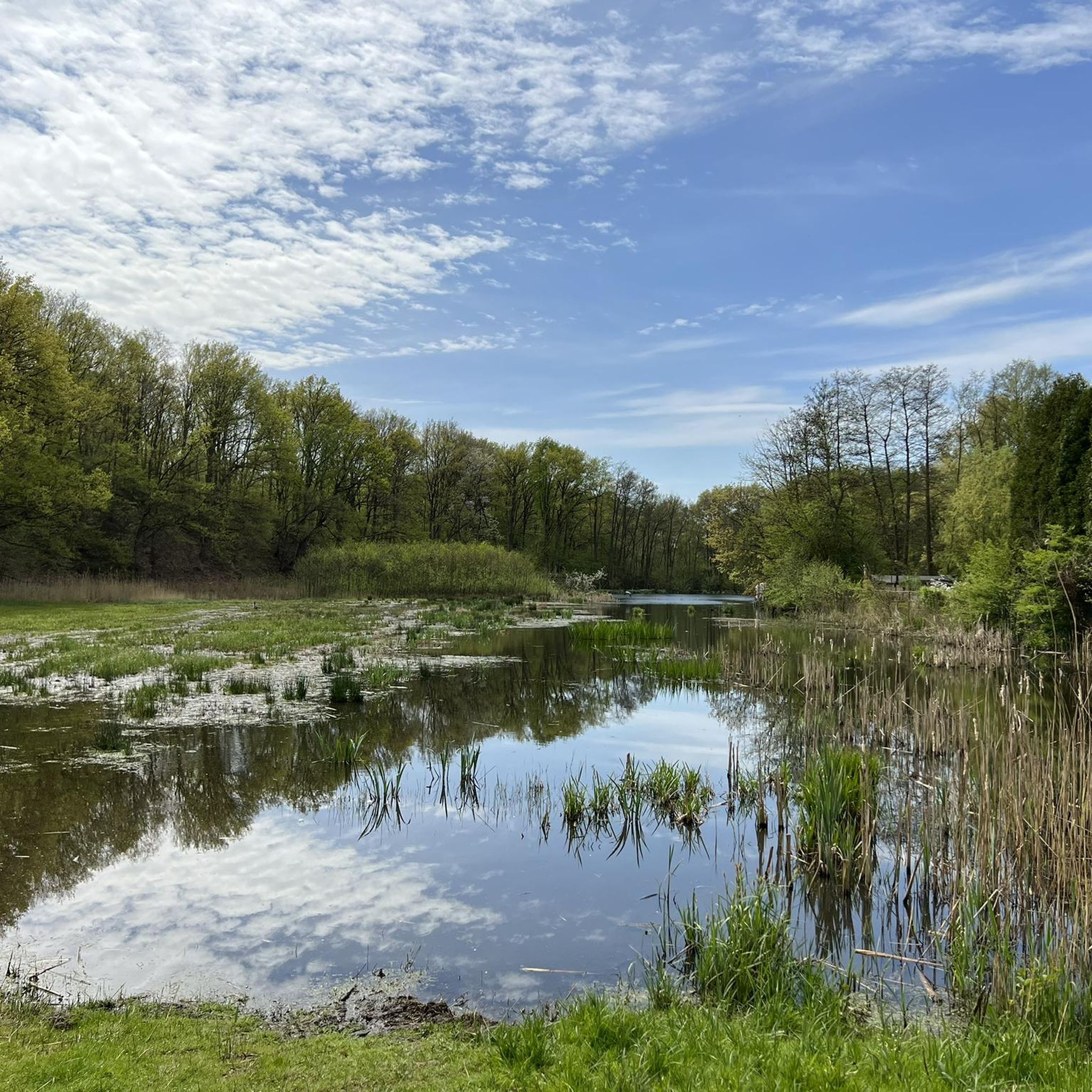
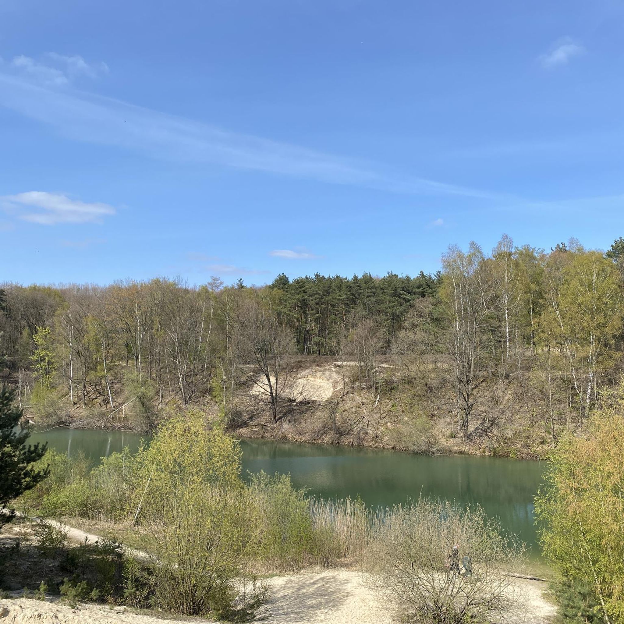
Gravel biking in Wandelpark Tegelen offers a diverse environment characterized by a mix of forest, sandy soil, and water features. The region includes the Jammerdal nature reserve, known for its distinct heathland landscapes and former quarries transformed into natural areas. Routes often traverse natural areas, including occasional singletracks, and can extend along the Maas river, providing varied terrain for gravel bikers. This area presents a varied landscape with forests, sandy soils, and numerous water features.
Best gravel bike trails in…
Last updated: July 1, 2026
4.7
(11)
104
riders
49.8km
03:23
190m
190m
Hard gravel ride. Good fitness required. You may need to push your bike for some segments of this route.
10
riders
75.9km
04:53
250m
250m
Hard gravel ride. Good fitness required. You may need to push your bike for some segments of this route.

Sign up for free
5.0
(1)
22
riders
46.1km
02:53
80m
80m
Moderate gravel ride. Good fitness required. Mostly paved surfaces. Suitable for all skill levels.
5.0
(1)
13
riders
74.7km
04:39
280m
280m
Hard gravel ride. Good fitness required. You may need to push your bike for some segments of this route.
37
riders
84.2km
05:01
140m
140m
Hard gravel ride. Very good fitness required. You may need to push your bike for some segments of this route.
Get access to more routes and recommendations from other explorers.
Sign up for free
Already have an account?
Our route recommendations are based on thousands of hikes, rides, and runs completed by other people on komoot.
Start today with a free account
Your next adventure awaits.
Login or Signup
Tips from the Community

A little tip for your Komoot tour: The ferry in Baarlo is a really nice little ferry and makes the tour across the Maas extra special. 🚲⛴️ It's best to check the opening hours and crossing times beforehand so you don't end up at a closed landing stage.
0
0


Keverberg Castle is a historic castle in the village of Kessel in the province of Limburg. The castle stands on an artificial hill along the River Maas and is one of the oldest fortresses in the Netherlands. The castle's origins date back to around the year 1000. At that time, there was initially a watchtower on an artificial hill, a so-called motte. The tower had an important function because it overlooked the Maas and a major trade route between Antwerp and Cologne. Ships and merchants traveling along this route were required to pay tolls. The Counts of Kessel used this site as their residence and a defensive point. From the castle, they governed a large area in North Limburg and parts of present-day Germany. In 1279, the castle was sold to Reinald I, the Count of Gelre. The last Count of Kessel had to sell the territory due to financial problems. As a result, Kessel came under the authority of the Duchy of Gelre. Later, the castle changed owners several more times. Families such as the Van Merwijck and later the Van Keverberg family lived there. Eventually, the last noble resident gave up the castle in the 19th century. Afterward, the building was used by cloister nuns, among others. During the Second World War, the castle was severely damaged. In 1944, retreating German soldiers blew up the castle due to its strategic location. After the war, only a ruin remained for a long time. The castle remained a ruin for decades. It was not until the 21st century that the decision was made to rebuild the castle. It was restored between 2014 and 2015. During this restoration, the old architectural style was combined with modern materials such as glass and steel. As a result, it has become a remarkable castle where history and modern architecture come together.
0
0

The nature reserve is ideal for hiking and cycling.
1
0

The Dalheim railway line has been badly damaged by heavy forestry work, especially between the Ritzrod dunes and Sechseichen 🚜
1
0

Fantastic area 👌 Free parking nearby… Absolutely recommended. 😉 Will definitely be back.
1
1

The route largely follows the former narrow-gauge railway line from the gravel pit (towards de Hamert, to the right of the connecting road between Twisteden (Germany) and the border road (NL). The cycle path runs to de Hamert from the former loading facility (concrete structures in the forest at the lookout point) to the Meuse River, where, next to de Hamert, there was a loading point for inland waterway vessels. Information boards at the loading facility in the forest are very well described.
3
0
A wide "forest highway" between Dalheimer Mühle and Niederkrüchten.
1
0
Frequently Asked Questions
What kind of terrain can I expect on gravel bike trails in Wandelpark Tegelen?
Gravel biking in Wandelpark Tegelen offers a diverse environment. You'll encounter a mix of forest paths, sandy sections, and routes that often traverse natural areas, including occasional singletracks. Some routes also feature challenging climbs and extend along the Maas river, providing varied landscapes.
How many gravel bike routes are available in Wandelpark Tegelen?
There are over 150 gravel bike routes available in Wandelpark Tegelen. This includes a wide range of options, with 15 easy, 88 moderate, and 53 difficult trails to choose from.
What are the typical distances and durations for gravel bike routes in this area?
Routes vary significantly in length and duration. For example, the Venweg Gravel Climb – Winding trail in Brachter Forest loop from Tegelen is about 24.7 miles (39.7 km) and takes around 2 hours 56 minutes. Longer routes, like Borner See viewpoint – Through the Happelter Heath loop from Tegelen, can be up to 46.4 miles (74.6 km) and take over 4 hours.
Are there options for different skill levels, from beginners to advanced riders?
Yes, Wandelpark Tegelen caters to various experience levels. The network offers options for easy, moderate, and difficult ability levels. You'll find routes with challenging climbs and technical sections for experienced riders, as well as more accessible paths for those newer to gravel biking.
What natural features or landmarks can I see while gravel biking in Wandelpark Tegelen?
The area is rich in natural beauty. You can explore the Jammerdal Nature Reserve, known for its distinct heathland landscapes and former quarries. The Wittebeek Pond in Jammerdal is a notable highlight, and many routes offer picturesque views along the Maas river.
Are there any routes that offer views of the Maas river?
Yes, several routes in the Wandelpark Tegelen area run along the Maas river, offering picturesque views. For instance, the Lottum–Lomm Ferry – Maas Riverside Cycle Path loop from Hagerhof follows the Maas riverside for a significant portion, providing scenic vistas.
Can I explore the Jammerdal nature reserve by gravel bike?
While the Jammerdal is a beautiful area with water, sandy ground, and forest, some sections are primarily designated as walking paths. Cyclists do venture into the valley, but small access gates in these areas might pose a challenge. It's best to check specific route details for bike accessibility within the reserve.
Are there any circular gravel bike routes in Wandelpark Tegelen?
Yes, many gravel bike routes in Wandelpark Tegelen are designed as loops. Examples include the Brachter Wald Nature Reserve – Brachter Heath loop from Tegelen and The Grauwe Beer Windmill – Maas ferry between Kessel and Beesel loop from Tegelen, both offering extensive circular tours through varied landscapes.
What do other gravel bikers enjoy the most about gravel biking in Wandelpark Tegelen?
The area is highly rated by the komoot community, with an average score of 4.4 stars from over 180 reviews. Reviewers often praise the diverse environment, which includes forests, sandy sections, and scenic routes along the Maas river, as well as the variety of options for different skill levels.
Is Wandelpark Tegelen suitable for family-friendly gravel biking?
While some routes can be challenging, there are 15 easy routes available that might be more suitable for families. It's recommended to check the difficulty grade and terrain description of specific routes to ensure they align with your family's experience level.
Are there specific viewpoints or scenic spots along the gravel bike trails?
Yes, the region offers several scenic spots. Routes often pass through areas like the Heathland Jaomerdal and along the Maas river, providing picturesque views. The Borner See viewpoint – Through the Happelter Heath loop from Tegelen specifically highlights a viewpoint.
What is the best time of year to go gravel biking in Wandelpark Tegelen?
The varied terrain, including sandy sections, means conditions can change with the weather. Spring and autumn generally offer pleasant temperatures and beautiful scenery. During wetter periods, some sandy paths might become softer, while dry spells can make them firmer. Always check local weather conditions before heading out.
Most popular routes in Wandelpark Tegelen
Most popular attractions in Wandelpark Tegelen

Get inspired with the komoot mobile app


Explore more
Browse the best Gravel rides in other regions.
