The best gravel rides in Naturschutzgebiet Unteres Estetal
4.0
(79)
283
riders
64
rides
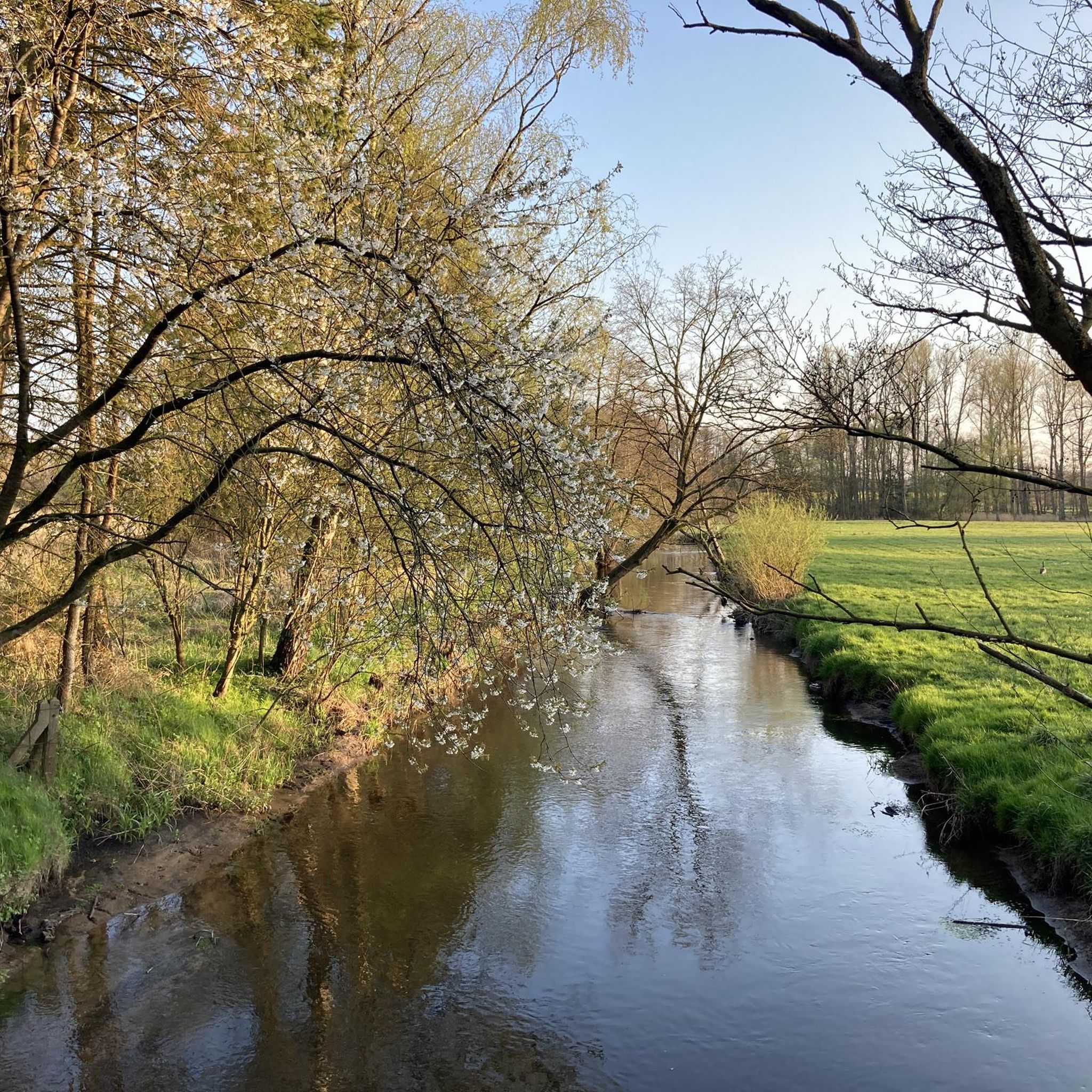
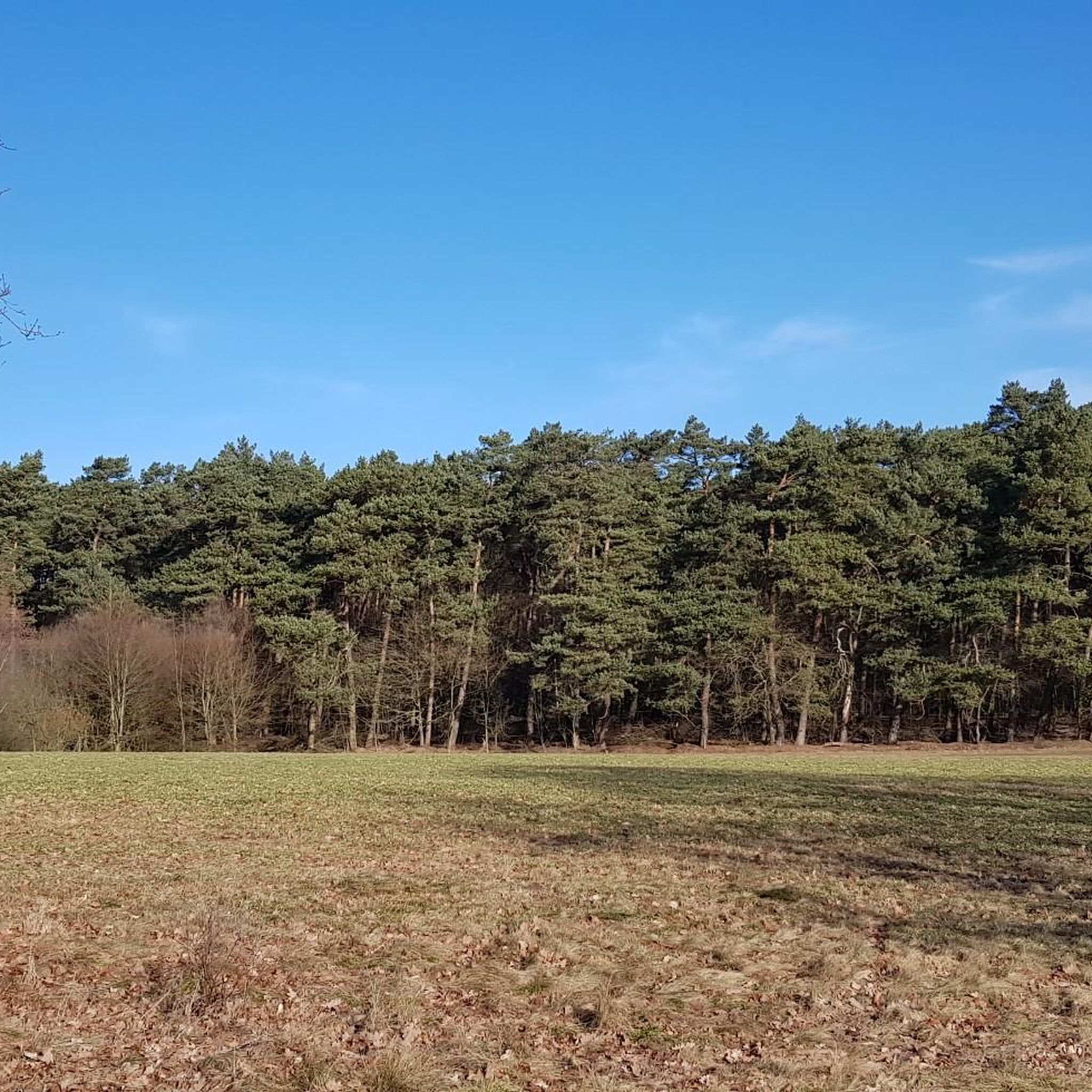
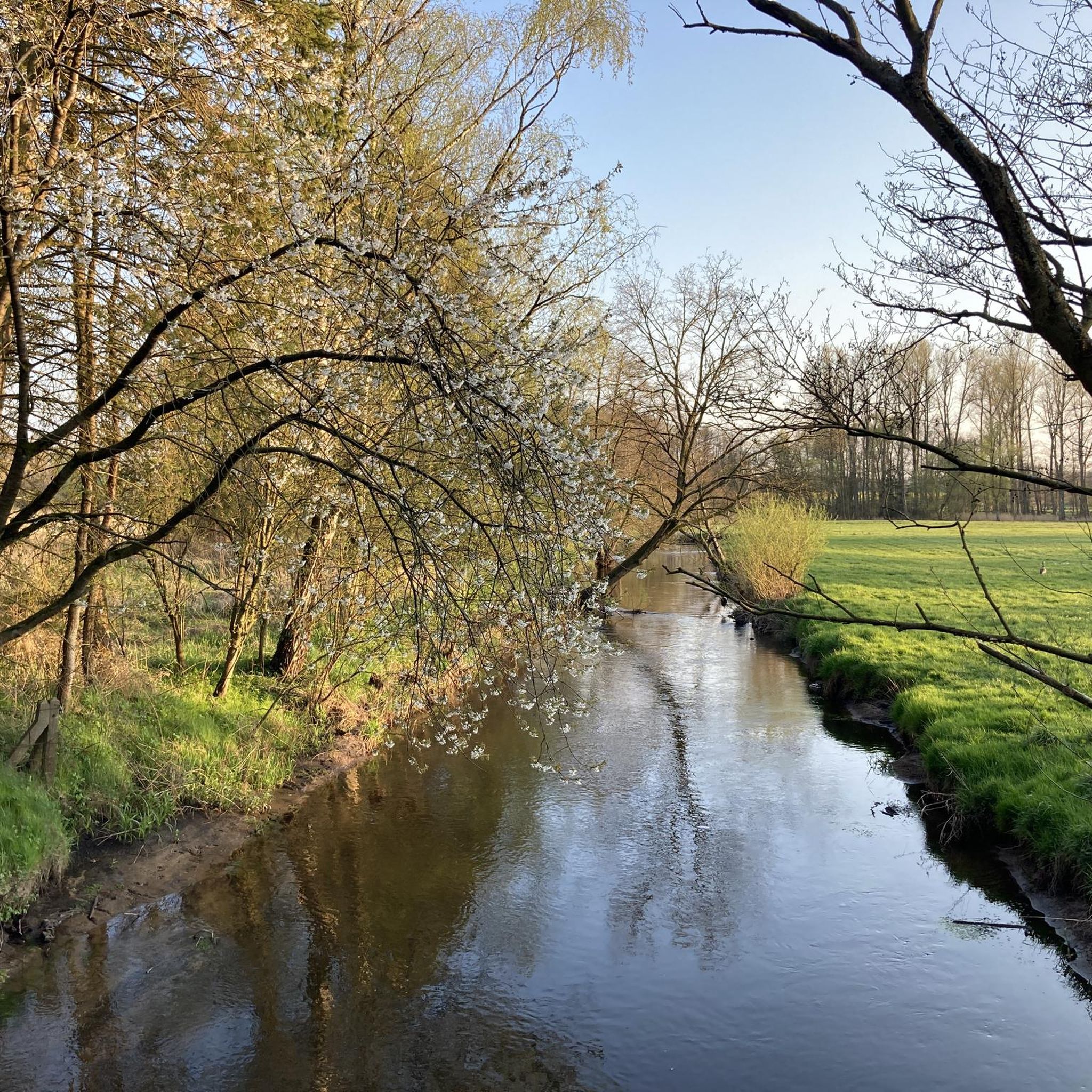
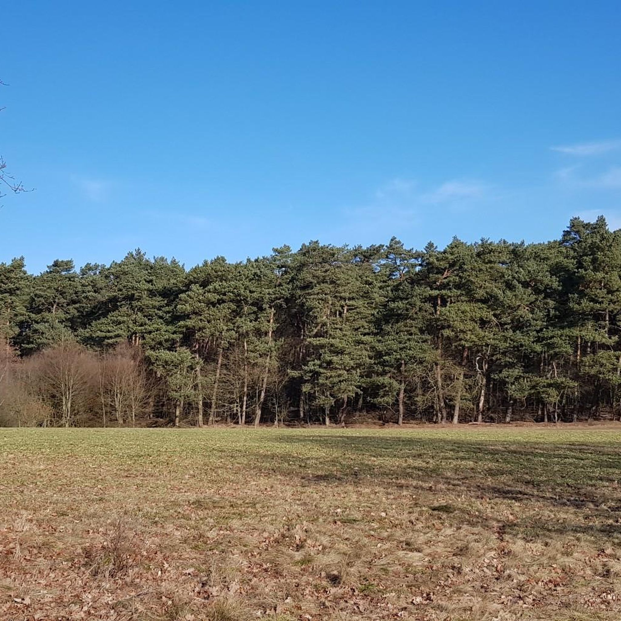
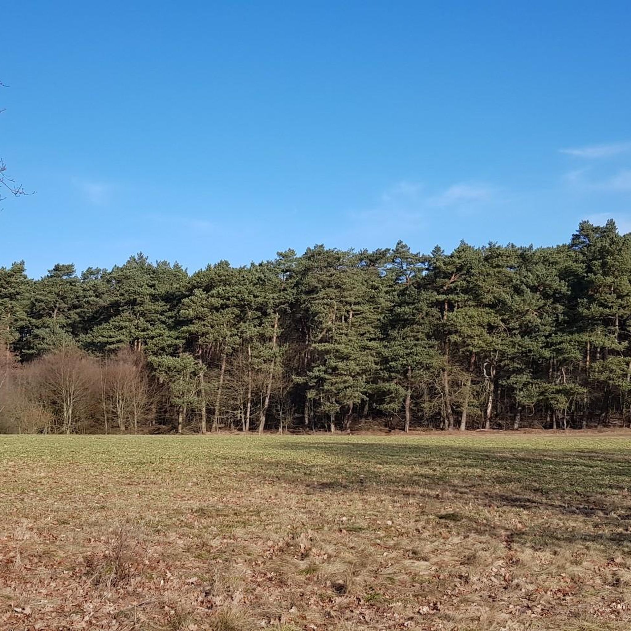
Gravel biking in Naturschutzgebiet Unteres Estetal offers diverse landscapes within the Este river valley. The region features a mosaic of habitats, including lush grasslands, dense willow bushes, and riparian forests along the Este River. Cyclists can navigate varied terrain, from wet forests and long-fallow grasslands on the west bank to pine, mixed, and coniferous forests on the slopes and east bank. The Este River itself, with its oxbow lakes, contributes to the scenic beauty and varied routes available.
Best gravel…
Last updated: July 3, 2026
4.8
(4)
18
riders
56.9km
03:16
290m
290m
Moderate gravel ride. Good fitness required. Mostly paved surfaces. Suitable for all skill levels.
5.0
(2)
18
riders
54.7km
02:53
60m
60m
Moderate gravel ride. Good fitness required. Mostly paved surfaces. Suitable for all skill levels.

Sign up for free
4.3
(10)
19
riders
Easy gravel ride. Great for any fitness level. Mostly paved surfaces. Suitable for all skill levels.
7
riders
52.8km
03:05
240m
240m
Hard gravel ride. Good fitness required. You may need to push your bike for some segments of this route.
4.3
(4)
14
riders
32.6km
01:47
170m
170m
Moderate gravel ride. Good fitness required. Mostly paved surfaces. Suitable for all skill levels.
Get access to more routes and recommendations from other explorers.
Sign up for free
Already have an account?
Our route recommendations are based on thousands of hikes, rides, and runs completed by other people on komoot.
Start today with a free account
Your next adventure awaits.
Login or Signup
Tips from the Community

It is always beautiful here, whether during the fruit blossom or when the apples start to get big
0
0

Today I rode the Flowtrail, the root path along the train tracks and the three small descents in Neukloster Forst. I really liked the route and can recommend it. Fallen trees, I could ride around or push the bike. The root path along the railway line is not "easy", on some sections I had to push my bike. A resting place is located by the lake, a very beautiful spot to linger and relax. After the lake, the root path also begins.
0
0
Today I rode the Flowtrail, the root path along the railway tracks and the three small descents in Neukloster Forst. I really enjoyed the route and can recommend it. I could ride around fallen trees or push my bike. The root path along the railway line is not "easy" - on some sections I had to push my bike. There is a resting place by the lake, a very beautiful spot to linger and relax. After the lake, the root path also begins.
3
0
This shapes the Altes Land: Fruit cultivation and shipping. The proximity to the Elbe and the major city of Hamburg have shaped the Altes Land for centuries. Whether in spring during the cherry blossom season or in summer and autumn during the harvest season, visitors can discover a variety of attractions here. Above all, the enchanting landscape, cultural events, and its sights, from the lighthouse to the Arp Schnitger organ. The Altes Land is a great and unique region. It stretches from the gates of Hamburg for over 30 km south of the Elbe to the Hanseatic city of Stade. The area includes the entire municipality of Jork, the Samtgemeinde Lühe, and the Rübke district of Neu Wulmstorf in Lower Saxony. As well as the Hamburg districts of Neuenfelde, Cranz, and Francop. The tributaries of the Elbe – the Schwinge, the Lühe, and the Este – divide the Altes Land into three sections, namely the first, second, and third mile from west to east.
1
0
A great bike and hiking route runs here amidst beautiful orchards. Highly recommended.
4
0
This characterizes the Altes Land: Fruit cultivation and shipping. The proximity to the Elbe and the big city of Hamburg have characterized the Altes Land for centuries. Whether in spring for the cherry blossoms or in summer and autumn for the harvest season, visitors can discover many attractions here. Above all, the enchanting landscape, as well as cultural events and its sights, from the lighthouse to the Arp Schnitger organ. The Altes Land is a great and unique region. It extends from the gates of Hamburg for over 30 km south of the Elbe to the Hanseatic city of Stade. The area includes the entire municipality of Jork, the Samtgemeinde Lühe and the Rübke district of Neu Wulmstorf in Lower Saxony. As well as the Hamburg districts of Neuenfelde, C.ranz and Francop. The tributaries of the Elbe - the Schwinge, the Lühe and the Este - divide the Altes Land into three sections, namely the first, second, and third mile from west to east.
4
0

Great cafe with homemade cake. Lots of space for children to play and romp around
0
0

The dykes on the Lühe are listed as historical monuments. The villages on both sides of the Lühe: Mittelnkirchen Ort, Mittelnkirchen Hohenfelde, Neuenkirchen east of the river and Bergfried and Guderhandviertel west of the river are typical, historic dyke-strip villages of the Altes Land – just like Leeswig, Königreich, Hove and Moorende on the Este –. They follow the curves of the river, as do the dyke and the road. The farmhouses face the dyke with their decorated gables, separated from each other by ditches, with the typical front gardens. The farm buildings, orchards, the historic strips of the agricultural land extend behind the houses in long strips.
0
0
Frequently Asked Questions
How many gravel bike trails are available in Naturschutzgebiet Unteres Estetal?
There are over 90 gravel bike trails in Naturschutzgebiet Unteres Estetal. These include a diverse range of routes, with 32 easy, 40 moderate, and 21 difficult options, ensuring there's something for every skill level.
What kind of terrain can I expect on the gravel bike trails in Naturschutzgebiet Unteres Estetal?
The trails in Naturschutzgebiet Unteres Estetal offer a rich mosaic of habitats. You'll encounter lush grasslands, dense willow bushes, and riparian forests along the Este River. The west bank features wet forests and long-fallow grasslands, while the slopes and east bank are characterized by pine, mixed, and coniferous forests. The varied surfaces make it ideal for gravel biking.
Are there family-friendly gravel biking options in the area?
Yes, Naturschutzgebiet Unteres Estetal offers several family-friendly gravel biking routes. With 32 easy trails, you can find gentle loops suitable for a relaxed ride with children. Many routes follow the river or pass through agricultural landscapes, providing pleasant and accessible experiences.
What are some notable landmarks or viewpoints along the gravel routes?
Along the gravel routes, you'll find several picturesque spots. Keep an eye out for the charming Wooden Bridge Over the Este River and the Este Bridge in the Unteres Estetal Nature Reserve. The area also features scenic river bends like the Estebogen near Heidebad and various ponds, such as the Pond in the Este Valley, offering beautiful views and resting spots.
What do other gravel bikers enjoy most about the trails in Naturschutzgebiet Unteres Estetal?
The komoot community highly rates the gravel biking experience in Naturschutzgebiet Unteres Estetal, with an average score of 4.2 stars from over 70 reviews. Riders often praise the diverse landscapes, from river valleys and riparian forests to agricultural areas, and the well-maintained paths that offer a peaceful and immersive cycling experience away from urban environments.
Are there any circular gravel bike routes in Naturschutzgebiet Unteres Estetal?
Yes, many of the gravel bike routes in Naturschutzgebiet Unteres Estetal are designed as loops. For instance, the Stream at Neuklosterholz – Hove Route (east of the Este) loop from Moisburg offers a moderate 55 km circular ride. These loops allow you to start and end at the same point, making planning easier.
What is the best time of year for gravel biking in Naturschutzgebiet Unteres Estetal?
The best time for gravel biking in Naturschutzgebiet Unteres Estetal is generally from spring through autumn. During these seasons, the weather is milder, and the natural landscapes, including the lush grasslands and forests, are at their most vibrant. The varied terrain is also less affected by winter conditions, ensuring more comfortable riding.
Are dogs allowed on the gravel bike trails in Naturschutzgebiet Unteres Estetal?
As a nature reserve, visitors are generally encouraged to stay on designated paths to protect the local flora and fauna. While specific regulations for dogs on bike trails can vary, it's usually expected that dogs are kept on a leash to ensure minimal disturbance to wildlife and other trail users. Always check local signage for the most current rules.
Where can I find parking facilities for gravel biking in Naturschutzgebiet Unteres Estetal?
Parking facilities are typically available at common starting points for trails, especially near towns like Buxtehude or Moisburg, which serve as gateways to the nature reserve. Look for designated parking areas near trailheads or local amenities when planning your ride.
Can I reach Naturschutzgebiet Unteres Estetal by public transport with my bicycle?
Access to Naturschutzgebiet Unteres Estetal via public transport is possible, particularly to nearby towns like Buxtehude. Many regional trains and buses in Germany allow bicycles, often with specific restrictions or dedicated spaces. It's advisable to check the local public transport provider's website for their current bicycle transport policies and schedules before your trip.
Are there any cafes or places to eat near the gravel bike trails?
While the nature reserve itself is focused on unspoiled nature, you'll find cafes, pubs, and accommodation options in the surrounding towns. Buxtehude, Moisburg, and Beckdorf are good places to look for refreshments and places to eat before or after your ride, offering a chance to experience local hospitality.
What is the typical duration for gravel bike rides in this region?
The duration of gravel bike rides in Naturschutzgebiet Unteres Estetal varies significantly depending on the route and your pace. For example, the View Over the Apple Orchards – Apfelhof Wegener loop from Buxtehude, which is 20.7 km, can be completed in about 1 hour 12 minutes, while longer routes like the Hogendiek Bridge – Altes Land Apple Orchards loop from Buxtehude (54.5 km) might take around 3 hours 37 minutes.
Most popular routes in Naturschutzgebiet Unteres Estetal
Most popular attractions in Naturschutzgebiet Unteres Estetal

Get inspired with the komoot mobile app


Explore more
Browse the best Gravel rides in other regions.
