The best gravel rides in Selketal
4.3
(16)
84
riders
20
rides
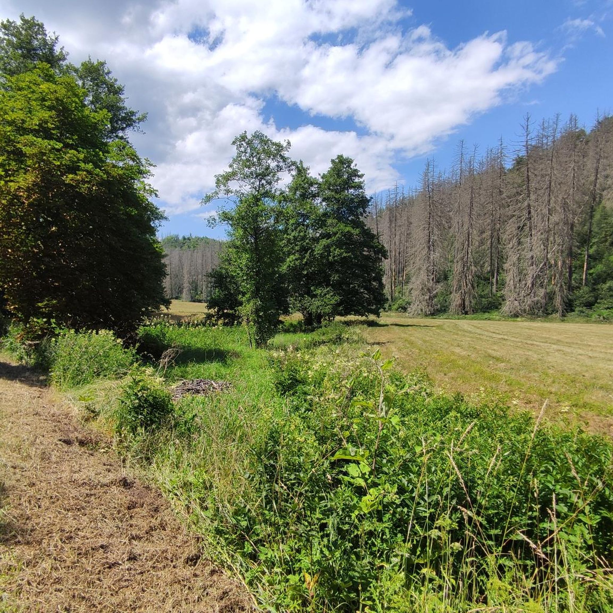
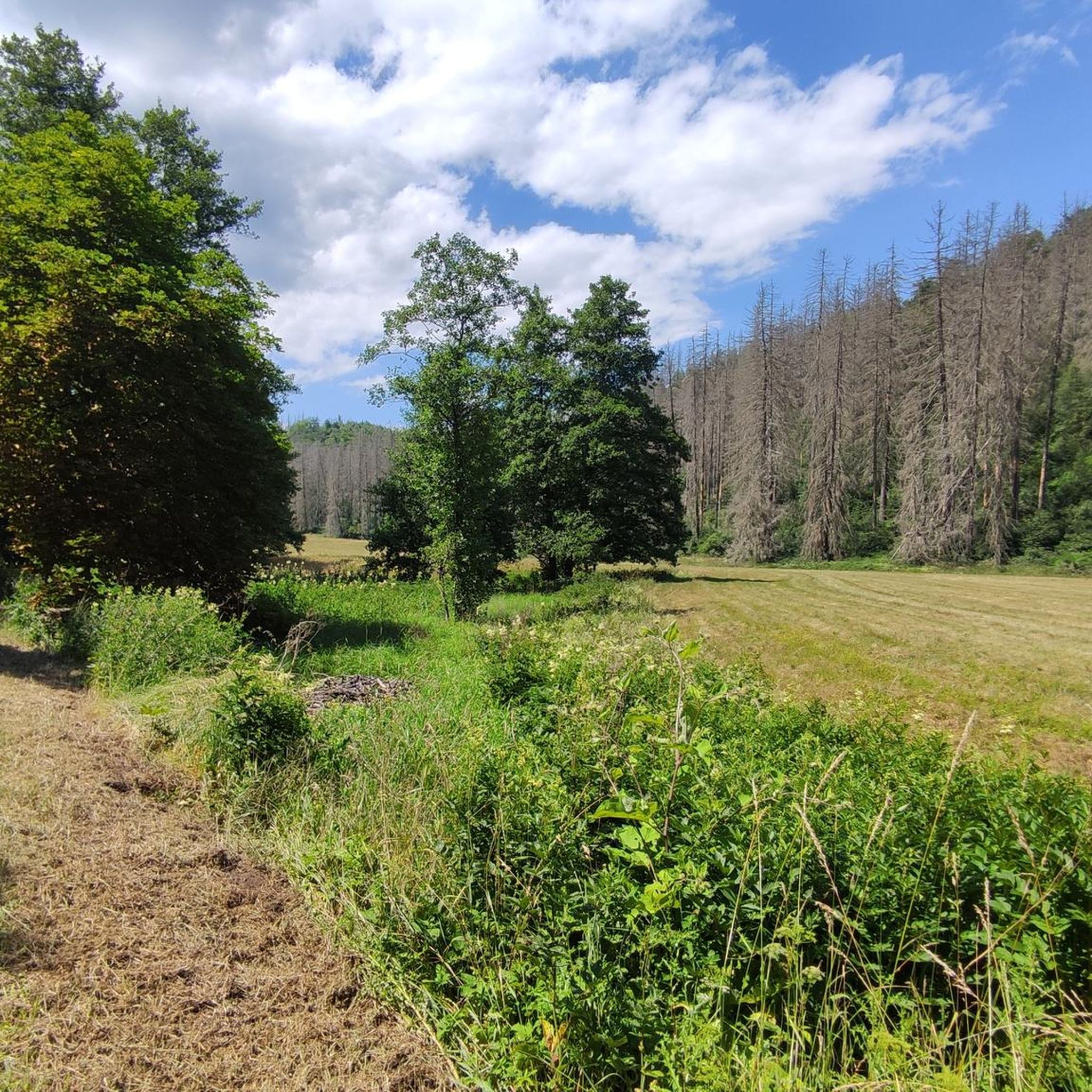
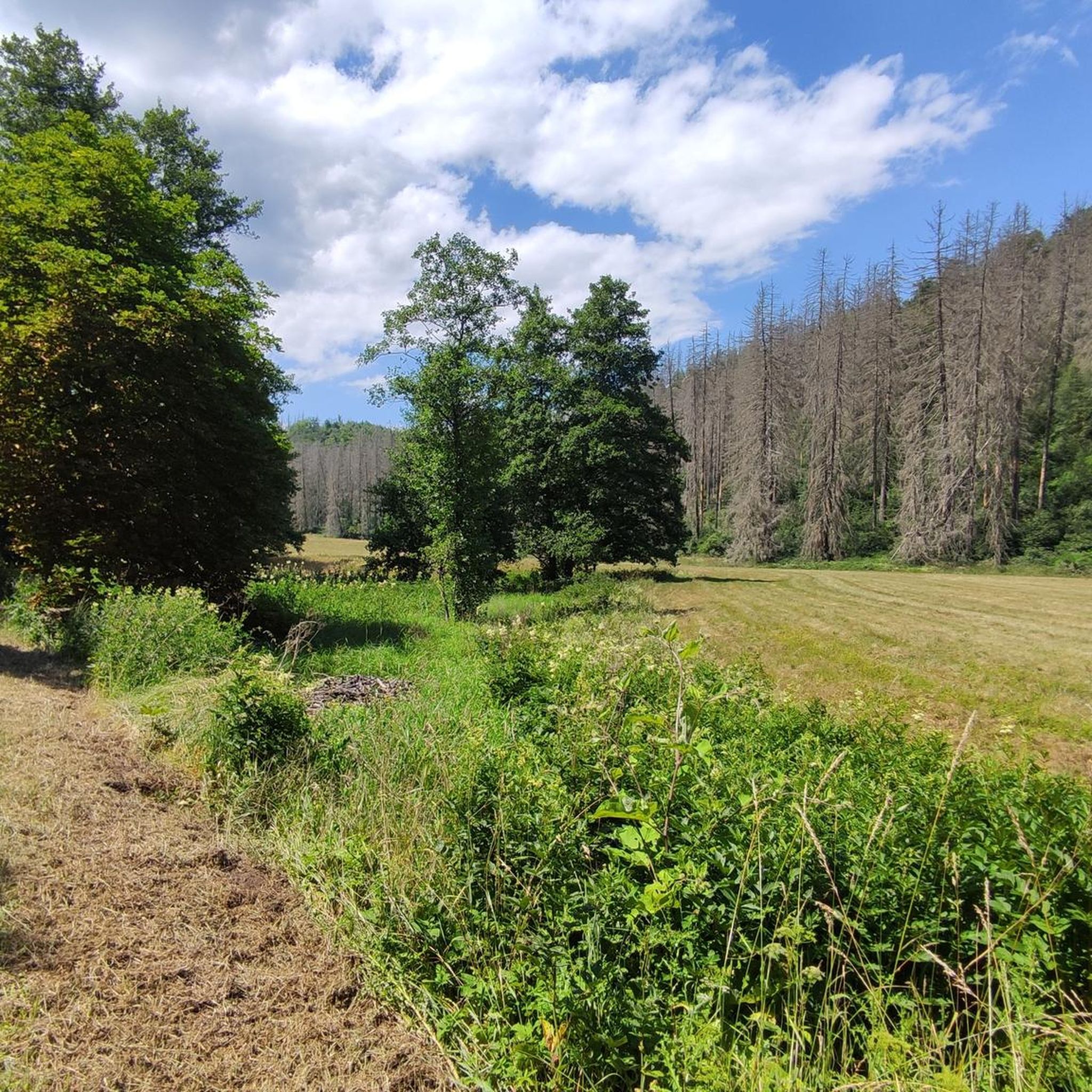
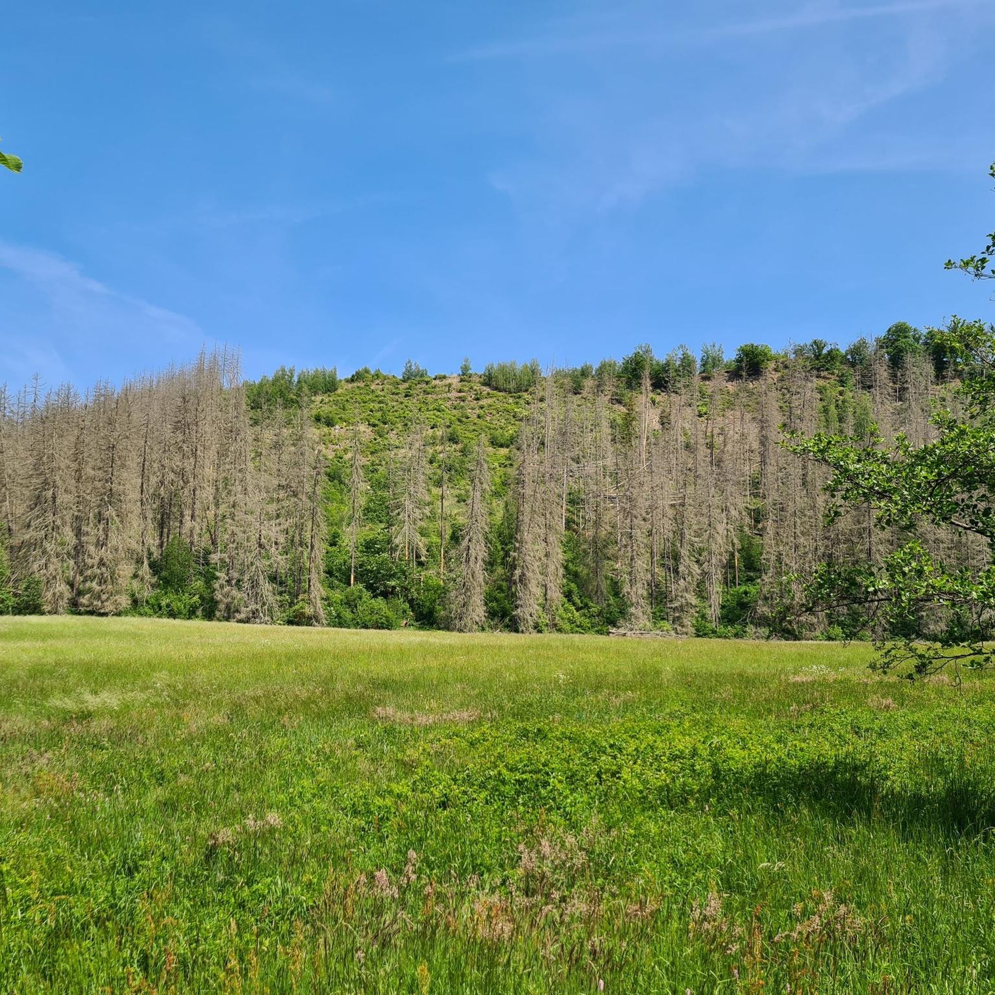
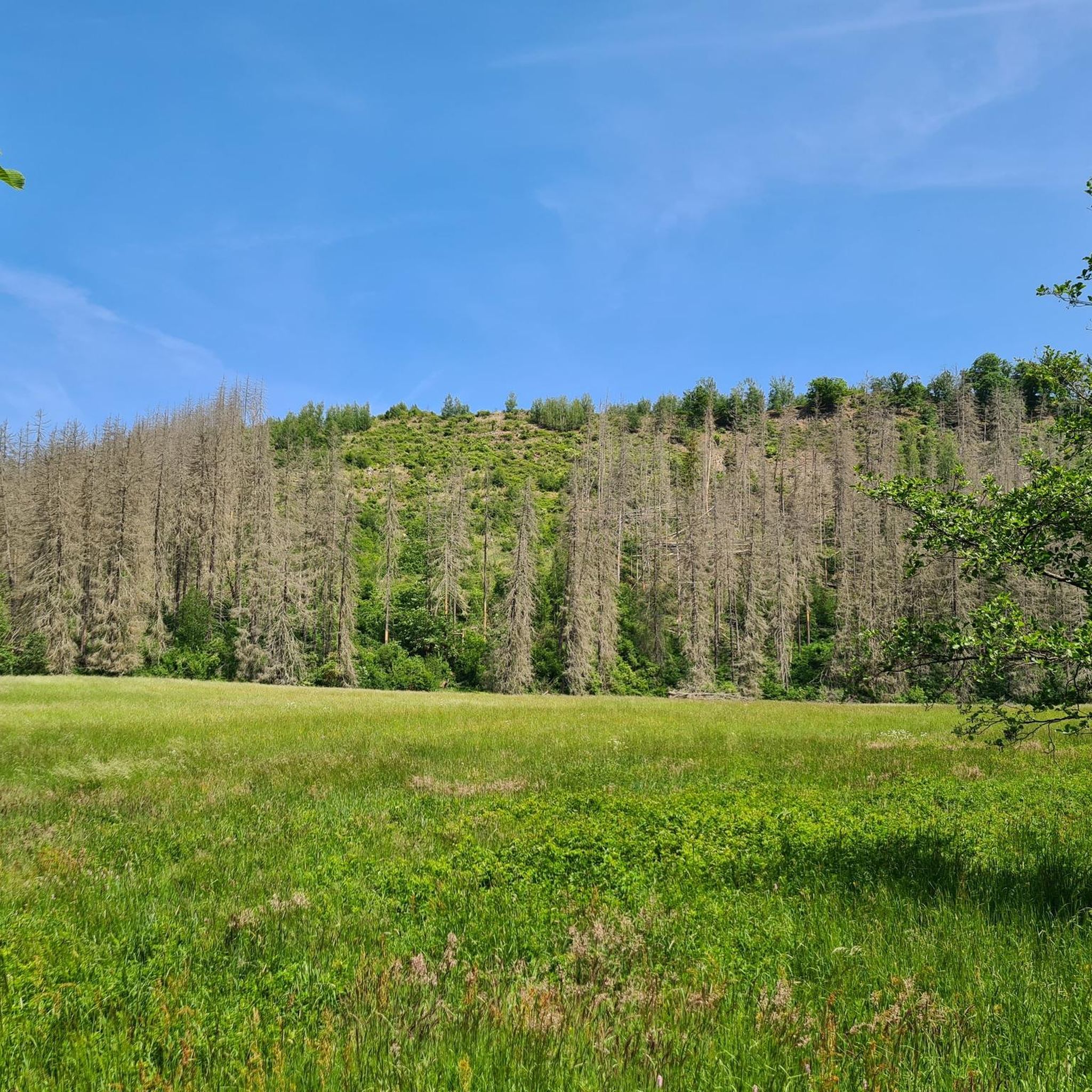
Gravel biking in Selketal offers routes through diverse landscapes within the Harz Mountains. The region is characterized by the Selke river, which has carved a valley up to 80 meters deep, revealing impressive rock formations. Dense mixed forests, including both deciduous and coniferous trees, cover the terrain, alongside expansive meadows and wooded mountains. These features provide numerous viewpoints overlooking the valley, enhancing the riding experience.
Best gravel bike trails in Selketal
- The most popular gravel bike trail is Upper Selke…
Last updated: May 22, 2026
5.0
(1)
3
riders
23.6km
01:35
310m
310m
Hard gravel ride. Good fitness required. You may need to push your bike for some segments of this route.
5
riders
Hard gravel ride. Good fitness required. You may need to push your bike for some segments of this route.

Sign up for free
1.0
(1)
7
riders
30.8km
01:54
430m
430m
Moderate gravel ride. Good fitness required. Mostly paved surfaces. Suitable for all skill levels.
4.6
(5)
16
riders
47.7km
02:48
570m
570m
Hard gravel ride. Very good fitness required. Mostly paved surfaces. Suitable for all skill levels.
12
riders
Moderate gravel ride. Good fitness required. Mostly paved surfaces. Suitable for all skill levels.
Get access to more routes and recommendations from other explorers.
Sign up for free
Already have an account?
Our route recommendations are based on thousands of hikes, rides, and runs completed by other people on komoot.
Start today with a free account
Your next adventure awaits.
Login or Signup
Tips from the Community

Good cycle path. Little car traffic on the road.
0
0

In spring it is teeming with frogs, a break is fun, just no seating by the lake, a pity as the lake has Scandinavian flair.
3
0

Until the first half of the 20th century, the pond was called Silberteich (Silver Pond) due to its clean water. It served as a reservoir for the former Alte Grube (Old Mine) on the Hohen Warte hill. Until 1962, the pond was used as a drinking water reservoir for Gernrode. Since then, the town has received its drinking water from the Rappbode Dam. After heavy rain in 1976, the pond's dam broke, and the water flowed as far as Gernrode, 3.5 km away. Following this disaster, the dam was reinforced and equipped with an overflow system. The pond reaches its greatest depth of 12 m at the dam. Source: Wikipedia
6
1

The number of bison and cattle here is truly impressive.
1
0
Great view of the castle. But you should also go up and visit it.
2
0

Great to drive with some priority roads so be careful.
0
0

Great view of the Konradsburg.
3
0

Easy-to-ride cycle path, narrow in places
0
0
Frequently Asked Questions
What kind of terrain can I expect when gravel biking in Selketal?
Selketal offers a diverse landscape for gravel biking. You'll ride through lush mixed forests, open meadows, and unique deciduous woodlands. The routes often follow the scenic Selke river, which flows uninterrupted through the valley, and you'll encounter impressive rock formations. The surrounding wooded mountains also provide numerous beautiful vantage points.
How many gravel bike trails are available in Selketal?
There are over 25 gravel bike trails in Selketal, catering to various skill levels. This includes 3 easy routes, 15 moderate routes, and 9 more challenging options.
Are there any family-friendly gravel bike routes in Selketal?
Yes, Selketal offers routes suitable for families. For a relatively easy and scenic option, consider the Selke Valley Trail – Falkenstein Castle loop from Selketal, which is about 6.3 miles (10.2 km) long and passes by historical landmarks.
What historical sites or landmarks can I see along the gravel bike trails?
Selketal is rich in history. Many routes pass by historical landmarks such as Falkenstein Castle and the Ackeburg Ruins. You might also encounter the Stamping station of the HWN Selkesicht, offering great views.
Are there circular gravel bike routes in Selketal?
Yes, many gravel bike routes in Selketal are designed as loops, allowing you to start and end at the same point. Examples include the View of Konradsburg – Bison Enclosure (HWN 86) loop from Wieserode and the Great Devil's Mill (HWN 189) – Bremer Teich loop from Ballenstedt.
What do other gravel bikers say about the routes in Selketal?
The gravel biking routes in Selketal are highly regarded by the komoot community, with an average rating of 4.2 stars from over 10 reviews. Riders often praise the diverse forests, the tranquil Selke river, and the well-maintained paths that offer a rewarding experience.
Can I access the Selketal trails using public transport?
Yes, the historic Selketalbahn, a narrow-gauge railway, offers a unique way to experience the scenery and can be combined with biking tours. This allows you to shorten stages or transport yourself and your bike comfortably to various starting points along the valley.
What is the best time of year for gravel biking in Selketal?
The diverse forests and meadows of Selketal make it beautiful throughout the year. Spring and autumn offer particularly vibrant colors and pleasant temperatures. While some trails are accessible in winter, it's always advisable to check local weather and trail conditions beforehand.
Are there challenging gravel bike routes for experienced riders?
Absolutely. Selketal offers several challenging routes for experienced gravel bikers. For instance, the Bremer Teich – Selke Valley Trail loop from Harzgerode is a difficult 47.7 km (29.6 miles) path with significant elevation gain, providing a demanding ride.
Are there opportunities to see wildlife while gravel biking in Selketal?
Yes, Selketal is an impressive nature reserve, providing a habitat for rare and protected animal species. Keep an eye out for wildcats, rare bat species, fire salamanders, and the brightly colored kingfisher, which is the symbolic animal of the region, especially along the Selke river.
Where can I find scenic viewpoints along the gravel bike trails?
The Selketal is surrounded by wooded mountains with numerous beautiful vantage points. A notable spot is the Stamping station of the HWN Selkesicht at the Ackeburg, which offers fantastic views of the lush green valley below and is often incorporated into biking routes.
Are there any cafes or places to stop for refreshments near the trails?
While specific cafes are not listed for every trail, the region includes historical towns like Harzgerode, Ballenstedt, and Falkenstein/Harz, which offer amenities. Additionally, you might find rest areas like the Mettenberg rest area (HWN 203) along some routes.
Most popular routes in Selketal
Most popular attractions in Selketal

Get inspired with the komoot mobile app


Explore more
Browse the best Gravel rides in other regions.
