The best gravel rides in Elbdeichvorland
4.6
(43)
113
riders
6
rides
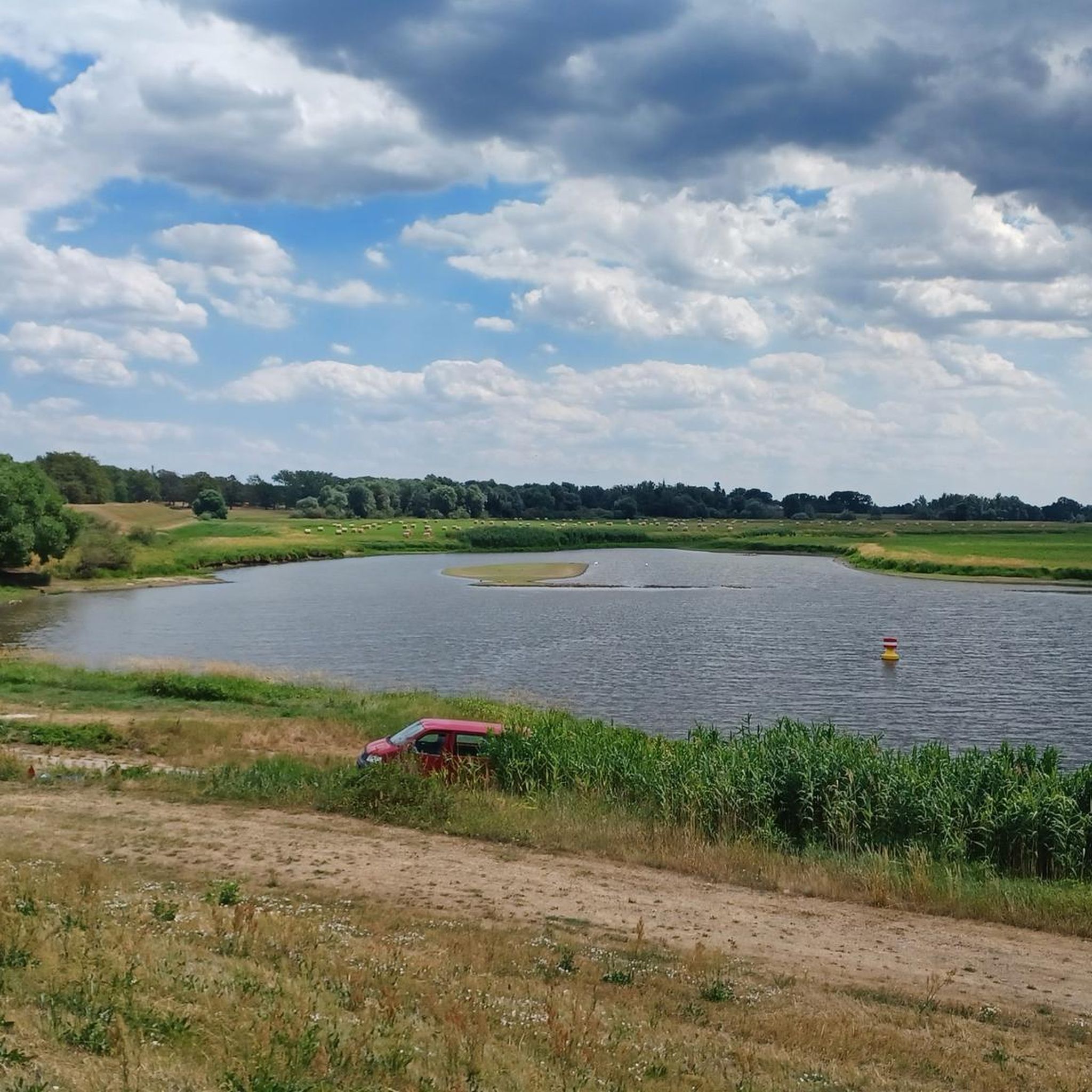
Gravel biking in Elbdeichvorland offers routes through a landscape shaped by the Elbe river. The region is characterized by flat plains, extensive river dikes, and agricultural areas, providing open views and consistent terrain for gravel cyclists. The Elbe River, its broad floodplains, and marshlands define the area, which is part of the Elbe River Landscape UNESCO Biosphere Reserve. Elevation changes are generally minimal, making for accessible riding conditions across its diverse landscapes.
Best gravel bike trails in Elbdeichvorland
- The most…
Last updated: October 6, 2026
4.4
(8)
45
riders
Moderate gravel ride. Good fitness required. Mostly paved surfaces. Suitable for all skill levels.
5.0
(32)
28
riders
Moderate gravel ride. Good fitness required. Mostly paved surfaces. Suitable for all skill levels.

4.8
(5)
28
riders
Easy gravel ride. Great for any fitness level. Mostly paved surfaces. Suitable for all skill levels.
8
riders
36.6km
02:02
50m
50m
Moderate gravel ride. Good fitness required. Mostly paved surfaces. Suitable for all skill levels.
4
riders
Hard gravel ride. Great for any fitness level. You may need to push your bike for some segments of this route.
Our route recommendations are based on thousands of hikes, rides, and runs completed by other people on komoot.
Start today with a free account
Your next adventure awaits.
Tips from the Community

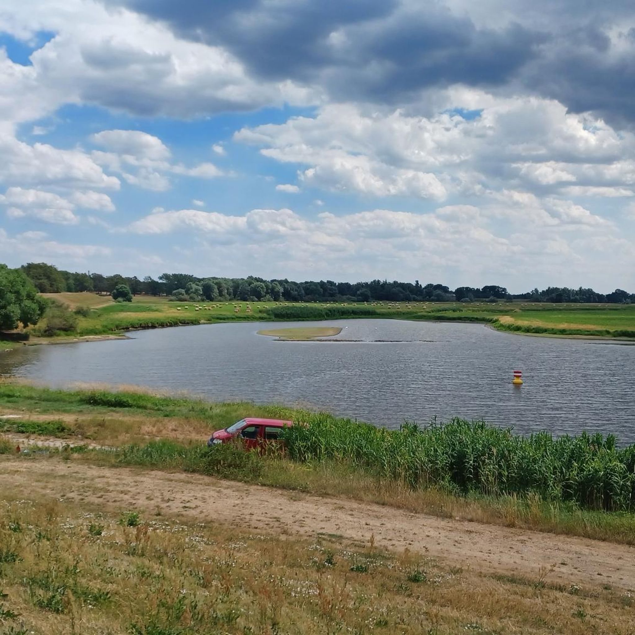
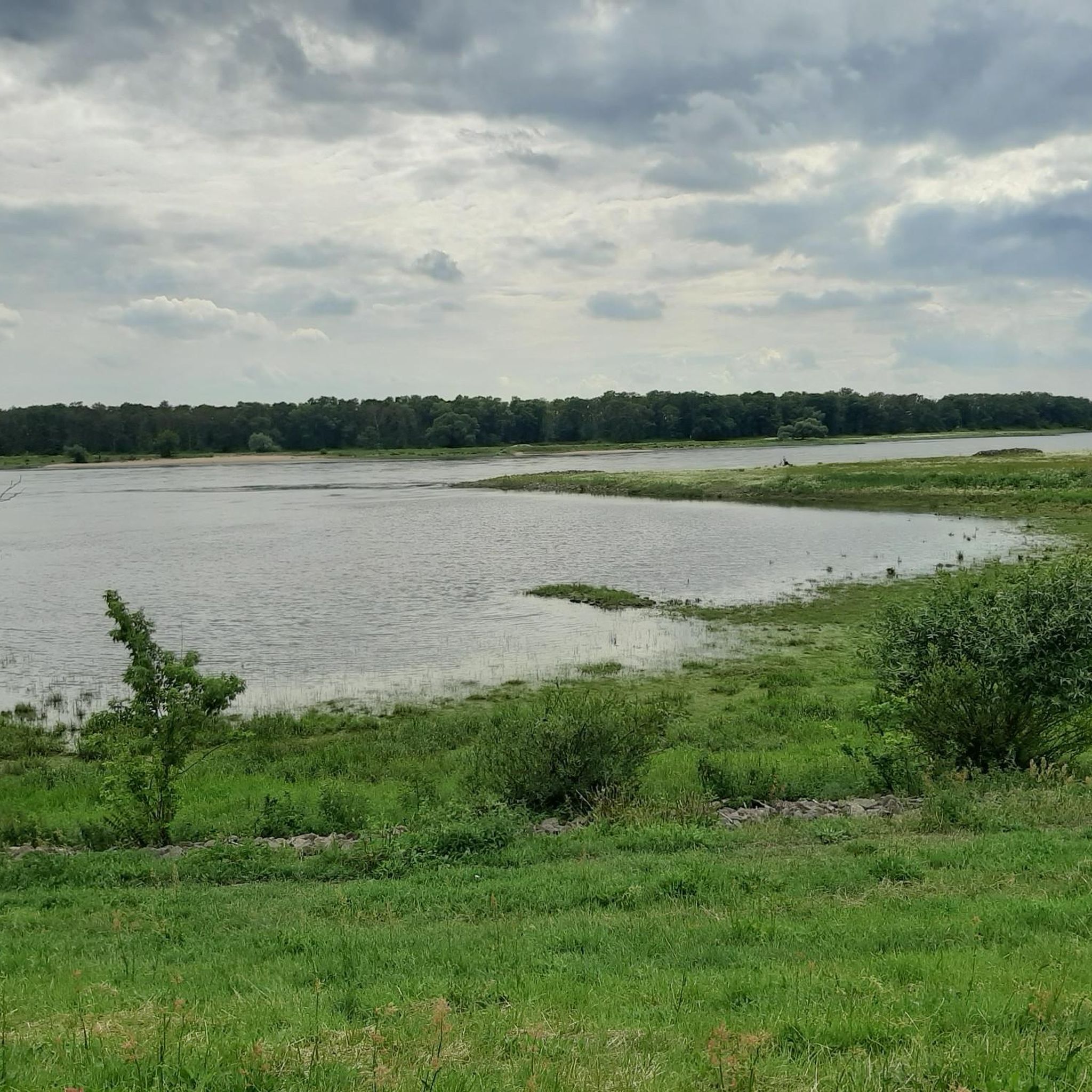
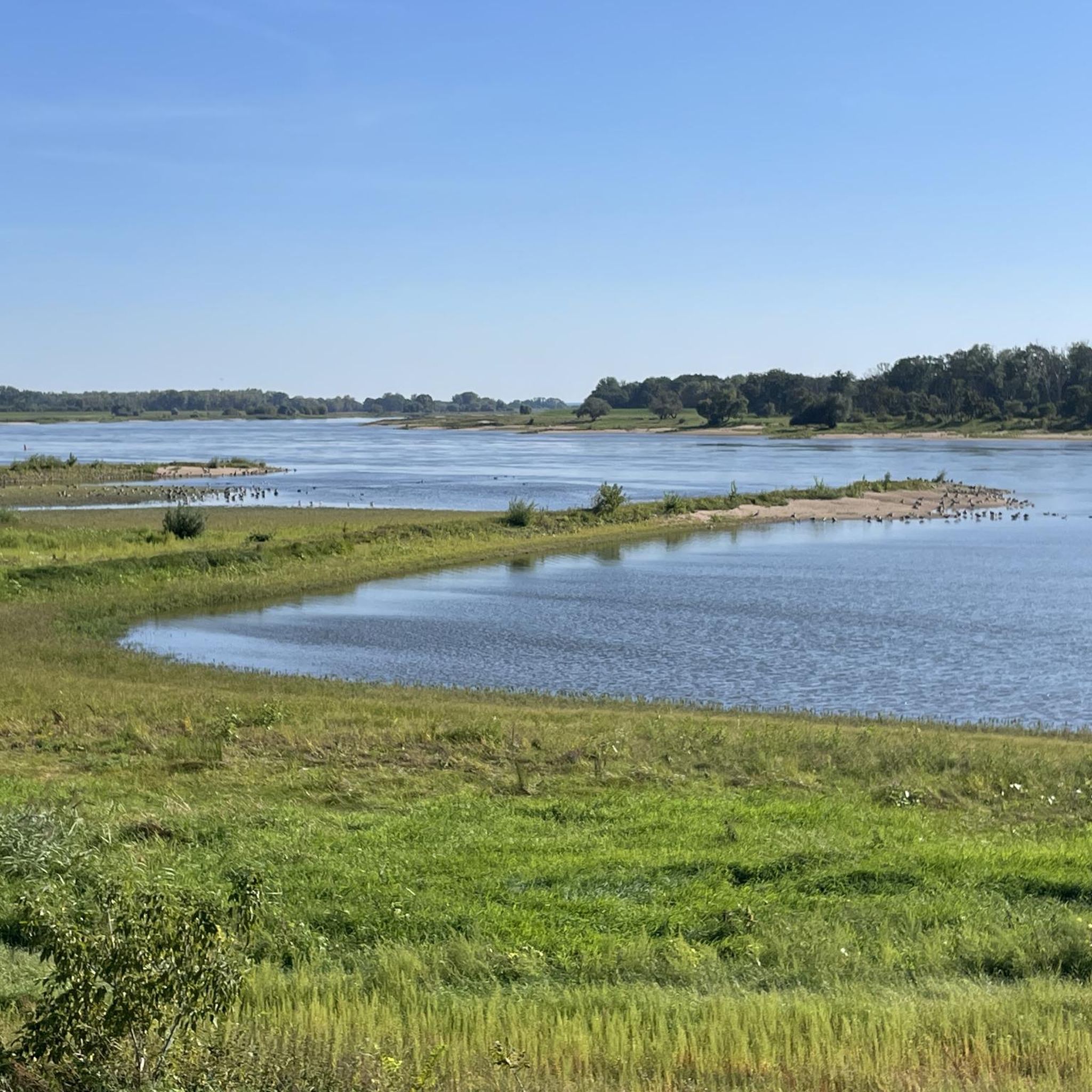
Anyone looking out at the Elbe from here is looking at the border point of the tri-state area Brandenburg - Lower Saxony - Saxony-Anhalt right in the middle of the water. So unfortunately, you can't walk around it here ;-)
0
0

always worth a trip
0
0

The new B189 bridge near Wittenberge is part of the A14 motorway expansion and the dilapidated old bridge to the north (built in 1978, the longest GDR road bridge). The new construction, which is expected to take traffic from mid-2026, is being built as part of a major infrastructure project to modernize the Elbe crossing and replace the old structure.
2
0

From the riverbank at the marina in Wittenberge, there's an unobstructed view of the wide river, the harbor breakwater, and the floodplain landscape in the background. Why not take a short break, enjoy the scenery, and capture the perspective?
1
0

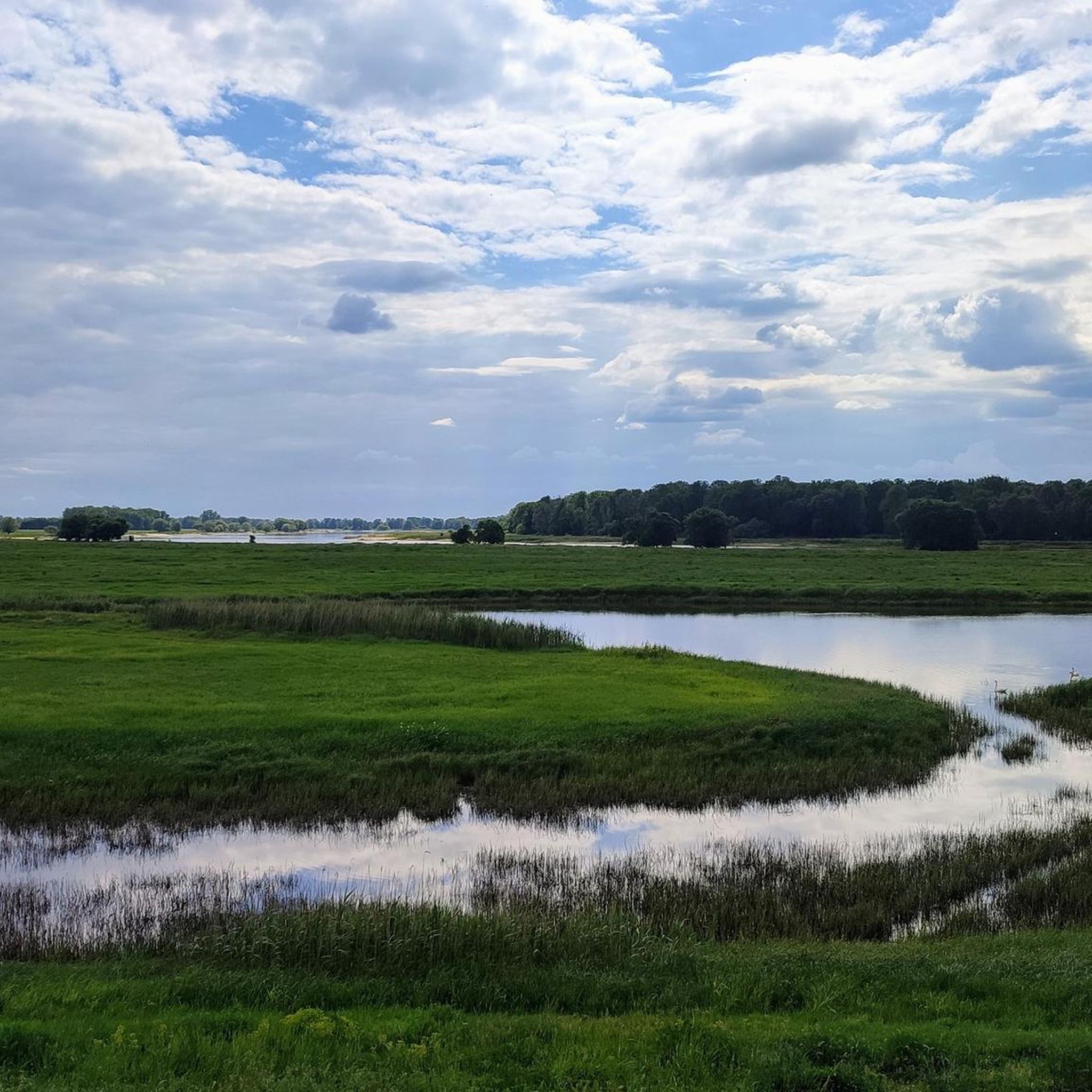
As you travel along the Elbe dike, you will have a wonderful view of the Elbe valley meadows and the course of the Elbe River.
0
0

It's very shady in the summer, and has had top-quality asphalt for two years. The main road isn't an alternative. Unfortunately, it ends abruptly before Perleberg, or rather, it's a forest path.
2
0

Normally, this Elbe crossing should be avoided by bike. Currently, however, there's almost no alternative. My breathtaking experience was that ALL trucks on the federal highway maintained a considerable distance or waited. Crossing the railway bridge is expected to be possible again from fall 2025.
1
0

The name of the "highlight" doesn't really fit here. Schnackenburg and Pevestorf are located on opposite sides of the Elbe. However, the section where the highlight is marked is located between Lütkenwisch and the Lenzener Schutzhafen.
0
0
Frequently Asked Questions
Are there easy gravel bike routes suitable for beginners in Elbdeichvorland?
Yes, the region's flat plains and extensive river dikes provide excellent conditions for beginners. Routes like the Wittenberge Harbour Promenade – Hafenspeicher Wittenberge loop from Wittenberge are easy and explore pleasant riverside scenery.
What options are available for more advanced gravel bikers?
While much of the region is characterized by flat terrain, advanced riders can find longer routes that offer a greater challenge through distance. For example, the View of Wahrenberg loop from Wittenberge covers nearly 70 km, providing a more extensive ride.
Are there family-friendly gravel bike trails in Elbdeichvorland?
The generally flat terrain and well-maintained dike paths make many routes in Elbdeichvorland suitable for families. These paths often offer open views and consistent surfaces, ideal for a relaxed ride with children.
What is the best time of year for gravel biking in Elbdeichvorland?
Spring and autumn are often ideal, offering pleasant temperatures and beautiful scenery as the landscape changes. Summer can also be great, but be prepared for more sun exposure on the open dikes. Winter riding is possible, but check local conditions for ice or snow on the paths.
What kind of views or landmarks can I expect along the gravel bike trails?
You'll primarily experience open views of the Elbe river, agricultural plains, and the distinctive river dikes. Notable landmarks include the Former Cumlosen Border Tower and sections of the Elbe Cycle Route. You might also spot wildlife in areas like the Cumlosen Floodplain Landscape.
Are there any circular gravel biking routes in Elbdeichvorland?
Yes, many of the gravel routes in Elbdeichvorland are designed as loops, allowing you to start and end at the same point. An example is the Wittenberge Water Tower – View of Wahrenberg loop from Wittenberge, which offers a scenic circular tour.
How can I find less crowded gravel biking routes in the region?
To avoid crowds, especially during peak season, consider exploring routes that venture further from popular starting points or main towns. The extensive network of dikes and agricultural paths means there are always quieter sections to discover, particularly on weekdays or earlier in the morning.
What are the typical surface conditions for gravel biking in Elbdeichvorland?
The routes primarily consist of well-maintained gravel paths, compacted earth, and some paved sections, especially near towns or on main dikes. The terrain is generally smooth and consistent, suitable for gravel bikes.
Are there any cafes or places to stop for refreshments along the trails?
While the routes often pass through small towns and villages, specific cafes directly on the dikes can be sparse. It's advisable to plan your stops in towns like Wittenberge or Cumlosen, or carry sufficient water and snacks, especially on longer stretches.
What do other gravel bikers enjoy most about gravel biking in Elbdeichvorland?
The area is highly rated by the komoot community, with an average score of 4.75 stars. Reviewers often praise the peacefulness of the open landscape, the consistent flat terrain ideal for steady riding, and the scenic views of the Elbe river.
What should I wear for gravel biking in Elbdeichvorland?
Given the open nature of the landscape, layers are recommended to adapt to changing weather. Windproof and waterproof outer layers are useful, especially on the dikes where you can be exposed. Sun protection is also important due to minimal shade.
Are there any moderate difficulty gravel routes available?
Yes, for those looking for a bit more challenge than the easiest routes, there are moderate options. The Former Cumlosen Border Tower – Elbe Dike Near Cumlosen loop from Wittenberge is a moderate 45.8 km route that takes you through river dikes and open fields.
Can I access the gravel bike trails using public transport?
Wittenberge is a key hub in the region with train connections, making it a good starting point for many routes. From there, you can often cycle directly onto the dikes and trails. Check local public transport schedules for specific connections to smaller villages along the Elbe.
Most popular routes in Elbdeichvorland
Most popular attractions in Elbdeichvorland

Get inspired with the komoot mobile app


Explore more
Browse the best Gravel rides in other regions.
