The best gravel rides in Hermannsdorfer Wiesen
4.3
(36)
185
riders
50
rides
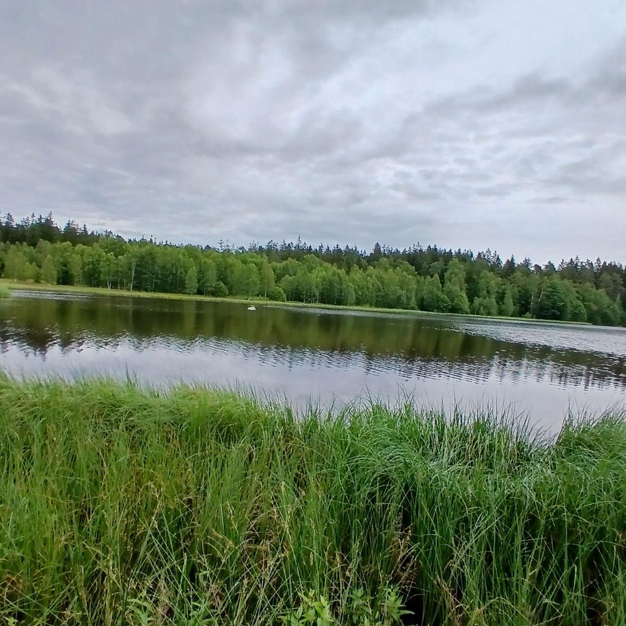
Gravel biking in Hermannsdorfer Wiesen offers routes through a diverse landscape characterized by wetlands, marshes, damp meadows, and various forest communities. Situated at an elevation of around 650 meters, the region features varied terrain influenced by mica schist and gneiss. The area includes open bogs, mountain meadows, and extends to the Schwarzer Teich, providing a dynamic environment for cycling.
Best gravel bike trails in Hermannsdorfer Wiesen
- The most popular gravel bike trail is Greifenbachstauweiher – Woodland Figures Sculptures loop from…
Last updated: July 3, 2026
2
riders
Moderate gravel ride. Good fitness required. Mostly paved surfaces. Suitable for all skill levels.
7
riders
24.4km
01:38
330m
330m
Moderate gravel ride. Good fitness required. Mostly paved surfaces. Suitable for all skill levels.

Sign up for free
5.0
(1)
4
riders
52.6km
03:40
700m
700m
Hard gravel ride. Very good fitness required. Mostly paved surfaces. Suitable for all skill levels.
7
riders
49.6km
03:13
920m
920m
Hard gravel ride. Very good fitness required. Mostly paved surfaces. Suitable for all skill levels.
5.0
(1)
4
riders
Hard gravel ride. Very good fitness required. Mostly paved surfaces. Suitable for all skill levels.
Get access to more routes and recommendations from other explorers.
Sign up for free
Already have an account?
Our route recommendations are based on thousands of hikes, rides, and runs completed by other people on komoot.
Start today with a free account
Your next adventure awaits.
Login or Signup
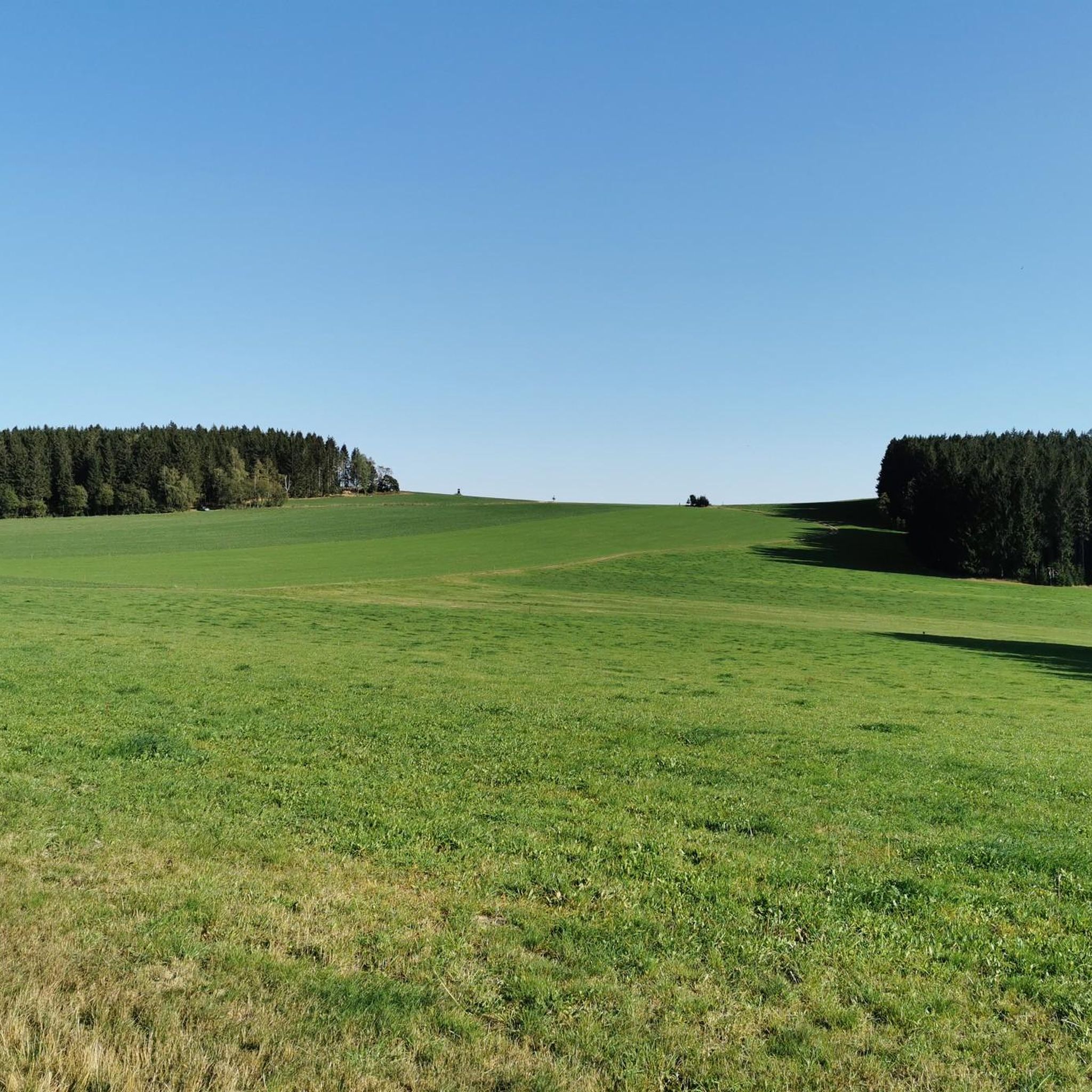
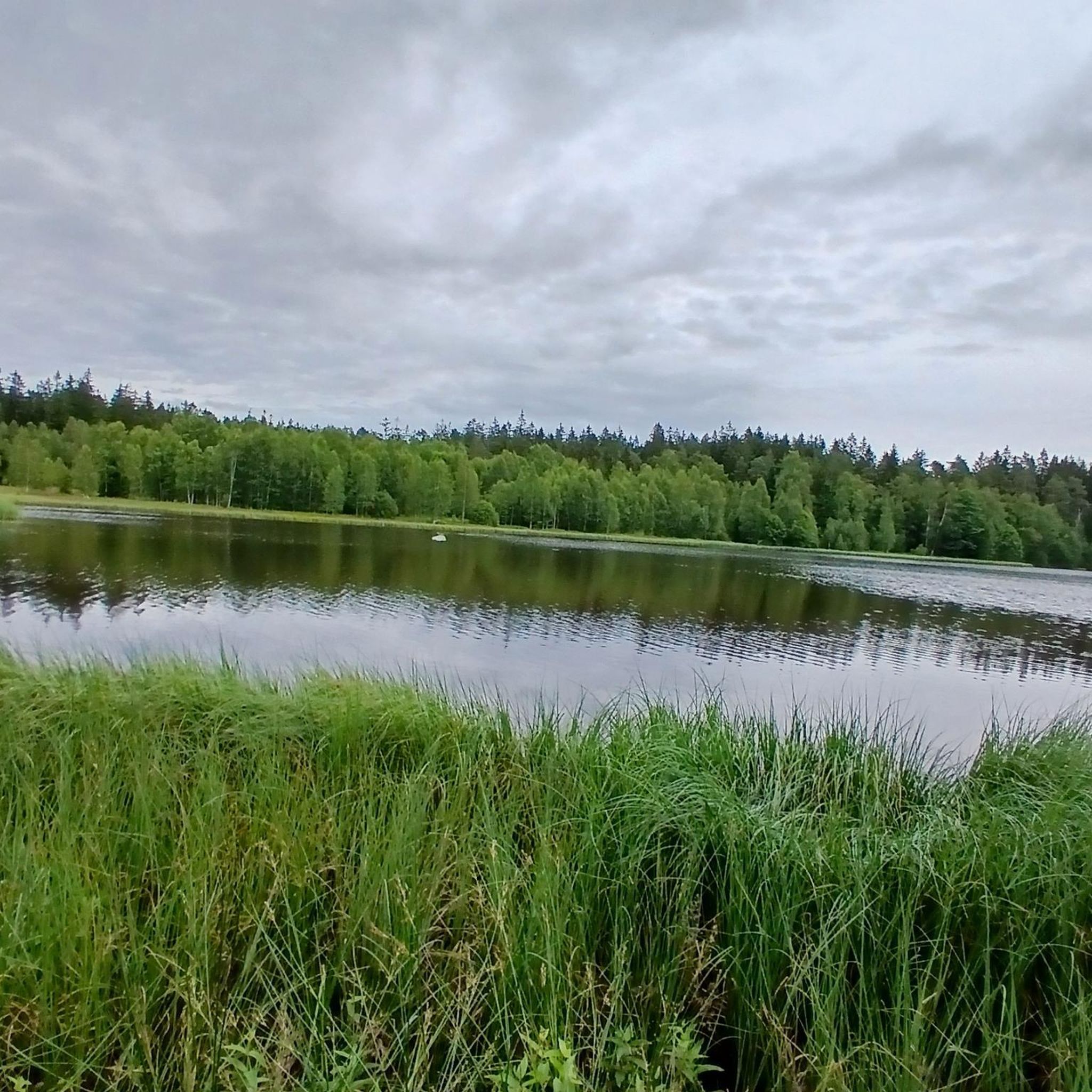
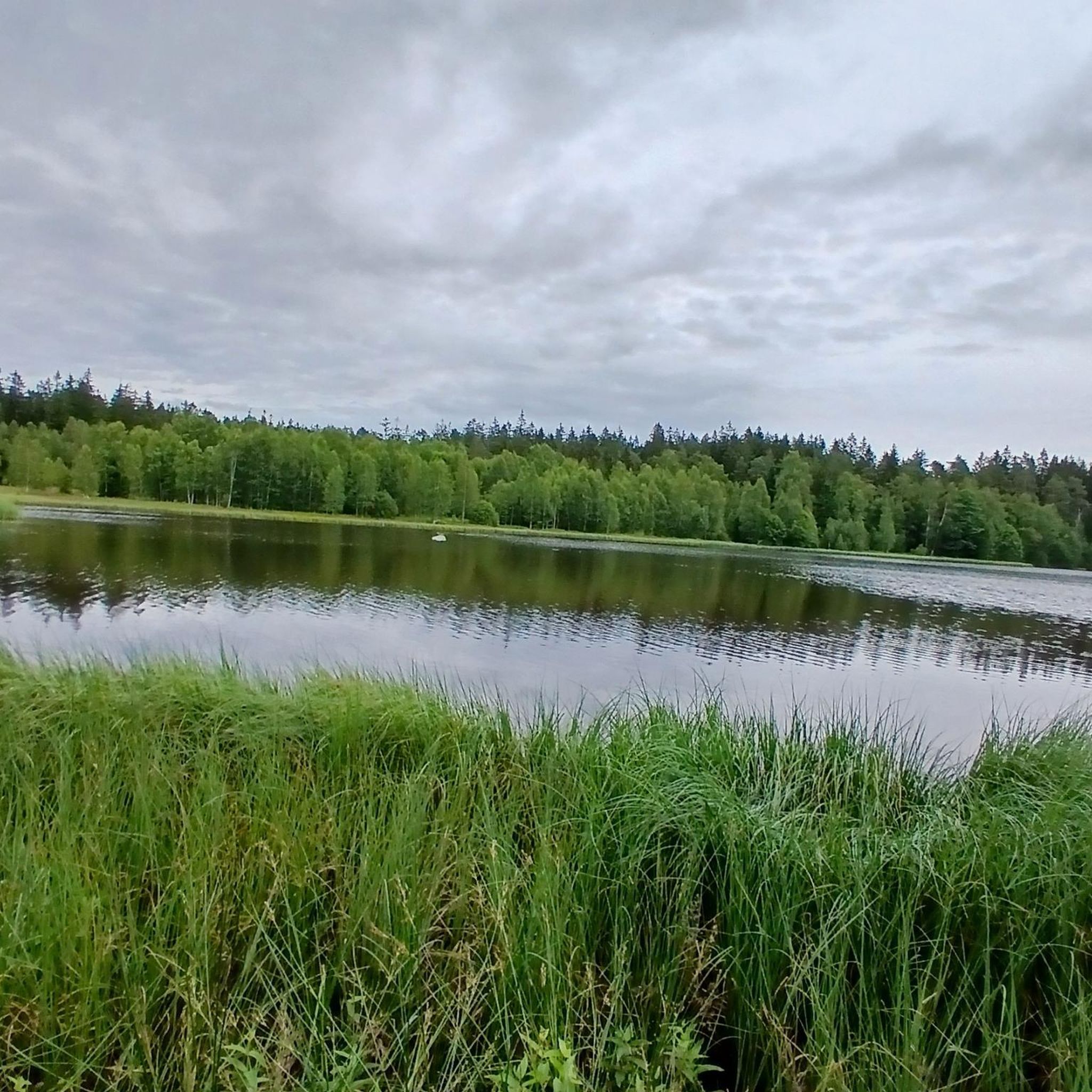
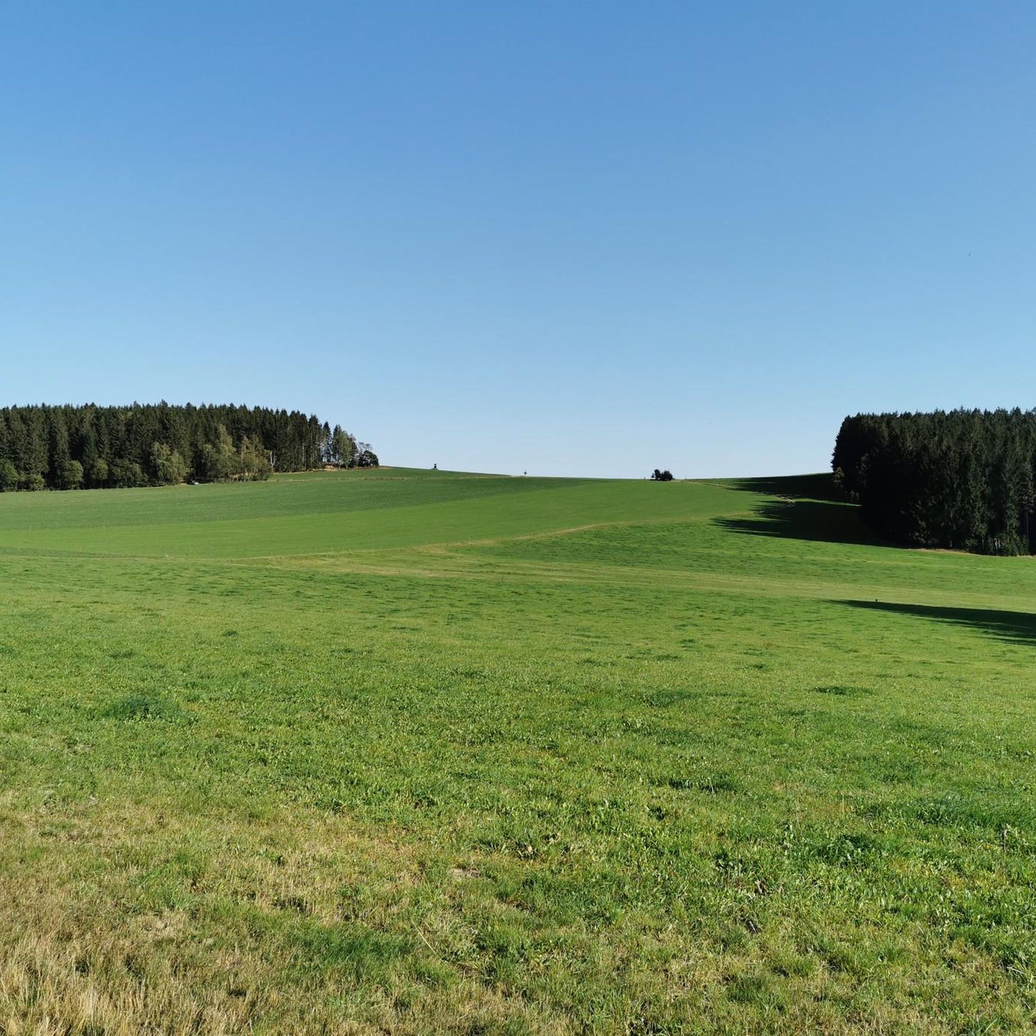
Tips from the Community

Zwäntzer „Lieblingsplatzl“ in new attire since November 2024. "It's a magnificent view over our hometown from the old railway track across the valley towards the tower of the Holy Trinity Church and on to Ziegenberg, when it's not raining. A place to pause and be grateful that we can live so idyllically. Here you can enjoy the vastness and feel a sense of belonging." In May 2024, two wave benches were purchased for this beautiful "Platzl" and a photo frame was added later. https://zwoenitzer-anzeiger.de/2024/11/12/zwaentzer-lieblingsplatzl-in-neuem-gewand/
0
0

The Greifenbach reservoir is one of the oldest dams in Germany. It dams the Rote Wasser stream. Today it is a local recreation area.
2
0

With every step, closer to the summit – the Fichtelberg climb on the Stoneman Miriquidi Road. From the intersection, it's not far anymore, and motivation gets a final boost.
1
0

A wonderful opportunity for a rest on the numerous benches overlooking the heath pond.
1
0

Very beautiful, wooded area. I live here, and if anyone would like to explore the area, I'd be happy to accompany them...please contact me. Cyclist Chris
0
0

A beautiful sandy beach, pleasantly clean air, excellent water quality, and two spacious lawns make the hearts of all sun worshippers and water lovers beat faster. The Greifenbachstauweiher pond is a popular holiday and recreation center and excursion destination at the foot of the Greifensteine.
2
0

It's just beautiful here😊.
0
1

The first weather observer on this summit was the innkeeper of the Fichtelberghaus. He recorded his weather observations from 1890 onwards, but from 1898 onwards only intermittently, and from 1910 onwards not at all. The head of the Royal Saxon State Meteorological Observatory, Paul Schreiber, suggested the construction of a permanent weather observatory. Temperature, wind speed, and precipitation amounts have been continuously recorded here since January 1, 1916. The strongest storm recorded here was on January 3, 1976, with a peak gust speed of 216 kilometers per hour. The coldest day on the summit was February 9, 1956, with minus 30.4 degrees Celsius; the warmest was July 27, 1983, with plus 30.8 degrees Celsius. The highest snow cover was measured in March 1944: 3.35 meters. The year 1951 was bad for Fichtelberg tourists: it held the record for foggy days with 315.
13
1
Frequently Asked Questions
What kind of terrain can I expect on gravel bike trails in Hermannsdorfer Wiesen?
The Hermannsdorfer Wiesen offers a diverse landscape for gravel biking. You'll encounter wetlands, marshes, damp meadows, and various forest communities. The terrain is influenced by mica schist and gneiss, providing varied surfaces. While many paths are suitable, some wetland areas might be muddy, especially after rain, so be prepared for changing conditions.
Are there gravel bike routes suitable for beginners in Hermannsdorfer Wiesen?
Yes, there are routes suitable for different skill levels. While many of the 64 available routes are moderate to difficult, you can find easier options. For example, the Greifenbachstauweiher – Woodland Figures Sculptures loop from Geyer is a moderate trail that offers a good introduction to the area's gravel biking.
What are some notable natural features or landmarks I can see while gravel biking here?
The region is rich in natural beauty. You can explore areas around the picturesque Schwarzer Teich, which is part of the nature reserve. The Moor at Schwarzen See is another unique natural highlight. The S222 Road Through Hermannsdorfer Wiesen is also a notable route that traverses the area.
Are there any challenging gravel bike routes for experienced riders?
Absolutely. The Hermannsdorfer Wiesen and its surroundings offer plenty of challenging options. For experienced riders, the View of Fichtelberg – View of Fichtelberg loop from Elterlein is a difficult 44.2 km trail with significant elevation changes, offering views of Fichtelberg. Another demanding option is the Markersbach Lower Reservoir – Fichtelberghaus loop from Scheibenberg.
What is the best time of year to go gravel biking in Hermannsdorfer Wiesen?
The diverse landscapes of Hermannsdorfer Wiesen are beautiful throughout the warmer months. Spring and autumn offer pleasant temperatures and vibrant scenery. While some paths might be suitable in winter, the presence of wetlands means conditions can become very muddy and slippery, so it's generally best to visit from late spring to early autumn.
Can I bring my dog on the gravel bike trails in Hermannsdorfer Wiesen?
As a protected nature reserve, specific rules apply to ensure the preservation of its unique biodiversity. While many outdoor areas in the Erzgebirge are dog-friendly, it's crucial to check local regulations for the Hermannsdorfer Wiesen. Always keep dogs on a leash, especially in nature reserves, to protect wildlife and sensitive ecosystems.
Are there any family-friendly gravel biking options in the area?
While the Hermannsdorfer Wiesen features varied terrain, some of the less challenging paths in the surrounding Geyerschen Wald or near the Schwarzer Teich might be suitable for families with older children, depending on their cycling experience. Always check the route difficulty and length before heading out with family.
Where can I find parking for gravel biking near Hermannsdorfer Wiesen?
Parking options are typically available in nearby towns like Elterlein or Geyer, which serve as common starting points for tours into the region. Specific parking areas for cyclists are often signposted. It's advisable to check for designated parking spots near your chosen route's starting point.
What do other gravel bikers say about the trails in Hermannsdorfer Wiesen?
The gravel biking routes in Hermannsdorfer Wiesen are highly rated by the komoot community, with an average score of 4.3 stars from over 30 reviews. Riders often praise the varied terrain, the quiet woodlands, and the scenic views, making it a rewarding experience for those who enjoy diverse natural settings.
Are there any shelters or rest stops along the gravel bike routes?
Yes, you might find designated rest areas or shelters along some of the trails. For instance, there is a Shelter at the Gravel Track, which can provide a convenient spot for a break during your ride.
How many gravel bike trails are available in Hermannsdorfer Wiesen?
There are over 60 gravel bike trails available in Hermannsdorfer Wiesen and its immediate surroundings. These routes cater to various skill levels, from moderate to difficult, ensuring there's something for every gravel biking enthusiast.
What are the typical elevations and distances for gravel rides in this region?
Gravel rides in Hermannsdorfer Wiesen vary significantly. You can find moderate routes like the View of Pöhlberg – View Towards Finkenburg loop from Elterlein, which covers about 24 km with around 330 meters of elevation gain. More challenging routes, such as the Woodland Figures Sculptures – Sender Geyer loop from Aussichtsfelsen, can span over 35 km with more than 570 meters of climbing.
Most popular routes in Hermannsdorfer Wiesen

Get inspired with the komoot mobile app


Explore more
Browse the best Gravel rides in other regions.
