Vogelfreistätte Innstausee Bei Attel Und Freiham
Vogelfreistätte Innstausee Bei Attel Und Freiham
The best gravel rides in Vogelfreistätte Innstausee Bei Attel Und Freiham
4.5
(153)
830
riders
41
rides
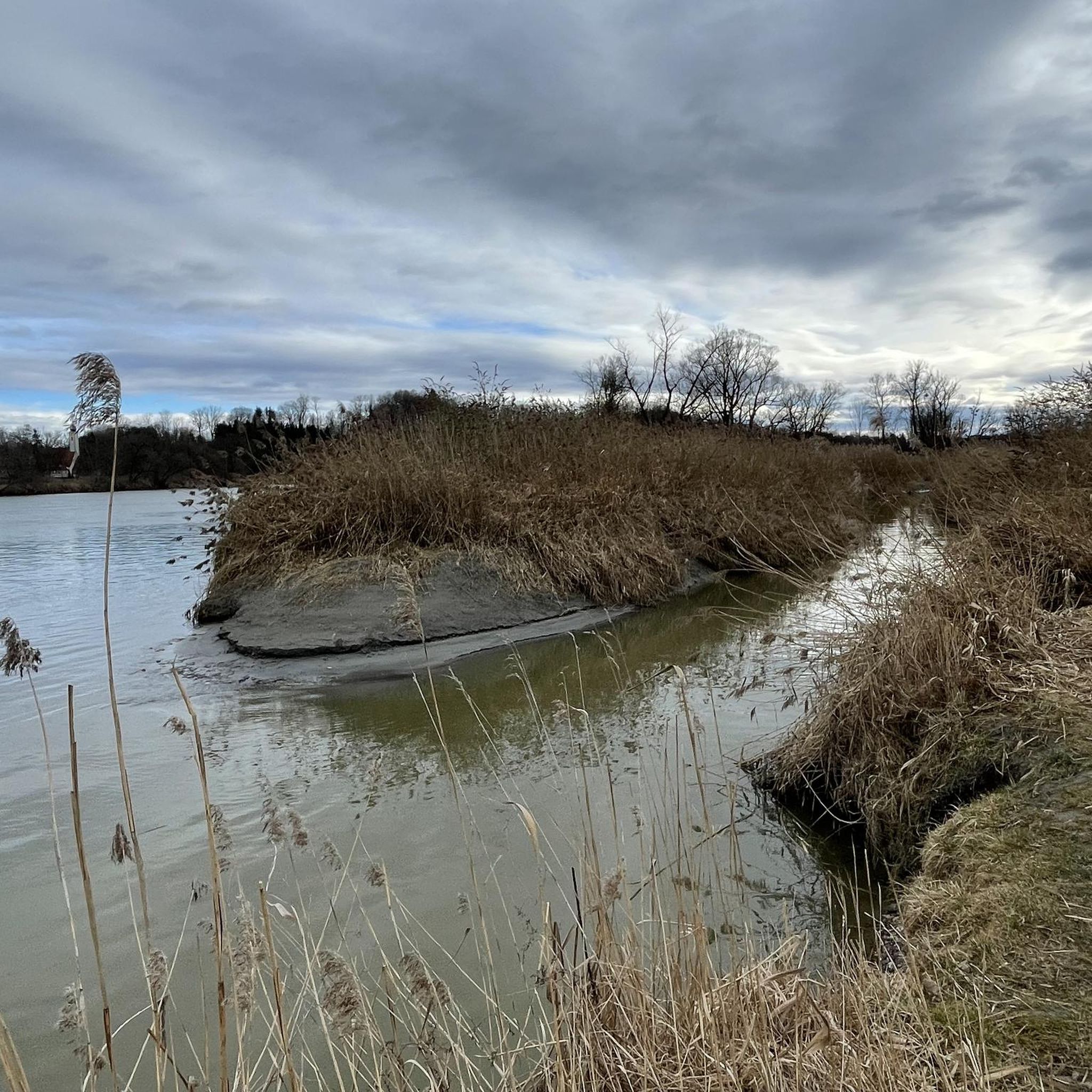
Gravel biking in Vogelfreistätte Innstausee Bei Attel Und Freiham is characterized by its location along the Inn River, featuring diverse habitats such as wetlands and riparian forests. The region's gravel bike trails primarily follow the Inn Cycle Path, offering flat, gravelled sections along the river embankment. These paths provide continuous scenic views, sometimes extending to the Alpine panorama. The mixed surfaces are well-suited for gravel bikes, combining speed with robustness for unpaved sections.
Best gravel bike trails in Vogelfreistätte Innstausee…
Last updated: July 8, 2026
4.6
(26)
219
riders
54.0km
02:48
250m
250m
Hard gravel ride. Good fitness required. You may need to push your bike for some segments of this route.
4.0
(3)
12
riders
26.2km
01:29
180m
180m
Moderate gravel ride. Good fitness required. Mostly paved surfaces. Suitable for all skill levels.

Sign up for free
5.0
(2)
17
riders
34.0km
01:48
210m
210m
Moderate gravel ride. Good fitness required. Mostly paved surfaces. Suitable for all skill levels.
3.7
(3)
50
riders
55.5km
02:44
140m
140m
Moderate gravel ride. Good fitness required. Mostly paved surfaces. Suitable for all skill levels.
4.7
(3)
6
riders
39.7km
02:17
310m
310m
Hard gravel ride. Good fitness required. You may need to push your bike for some segments of this route.
Get access to more routes and recommendations from other explorers.
Sign up for free
Already have an account?
Our route recommendations are based on thousands of hikes, rides, and runs completed by other people on komoot.
Start today with a free account
Your next adventure awaits.
Login or Signup
Popular around Vogelfreistätte Innstausee Bei Attel Und Freiham
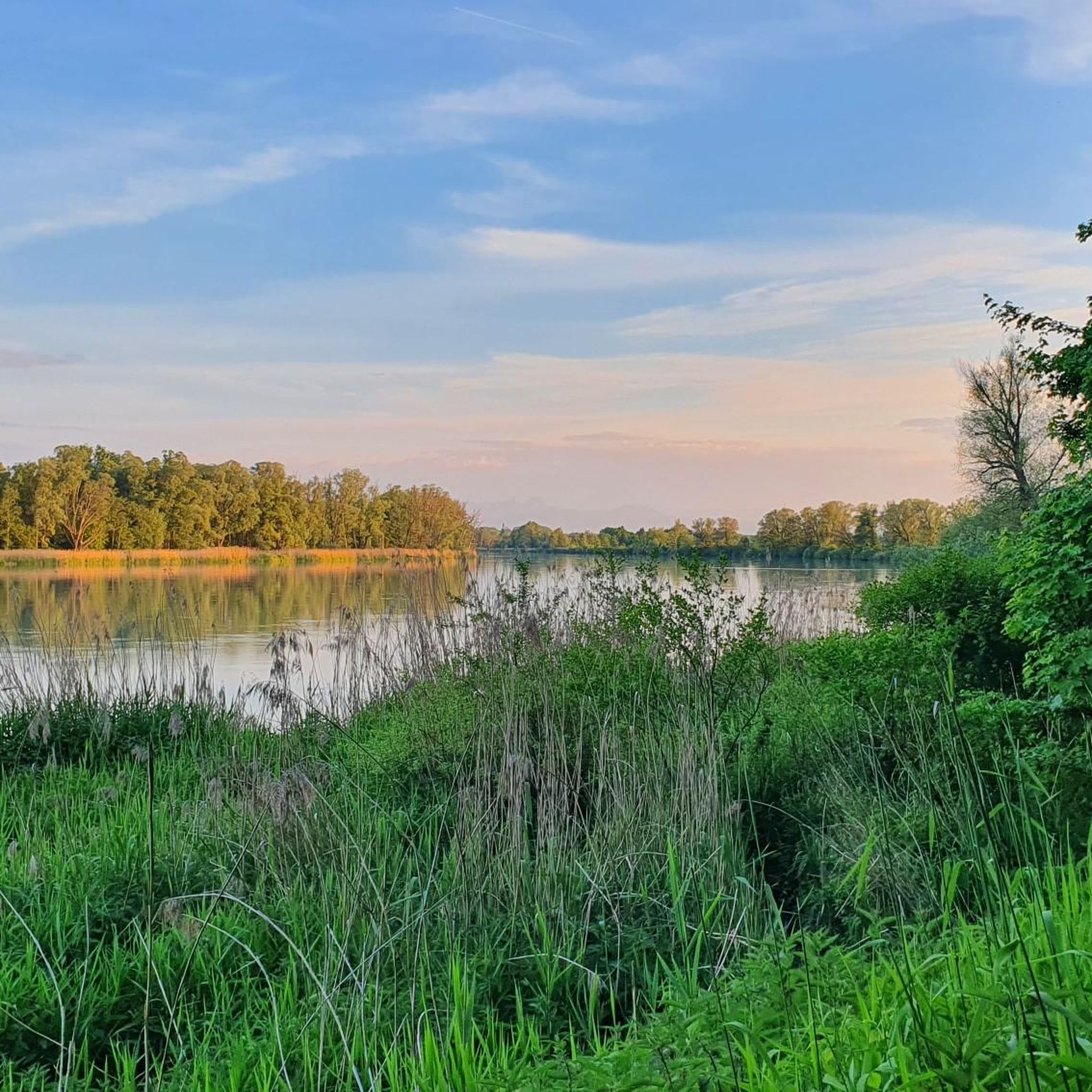
Cycling in Vogelfreistätte Innstausee Bei Attel Und Freiham
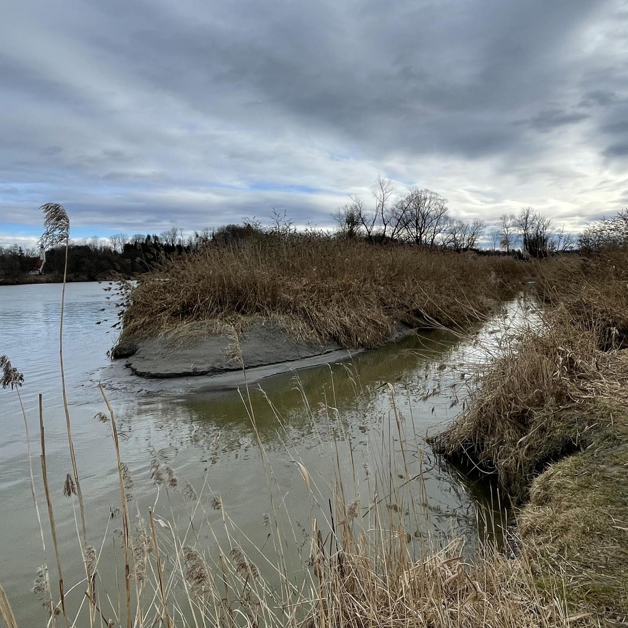
Road Cycling Routes in Vogelfreistätte Innstausee Bei Attel Und Freiham
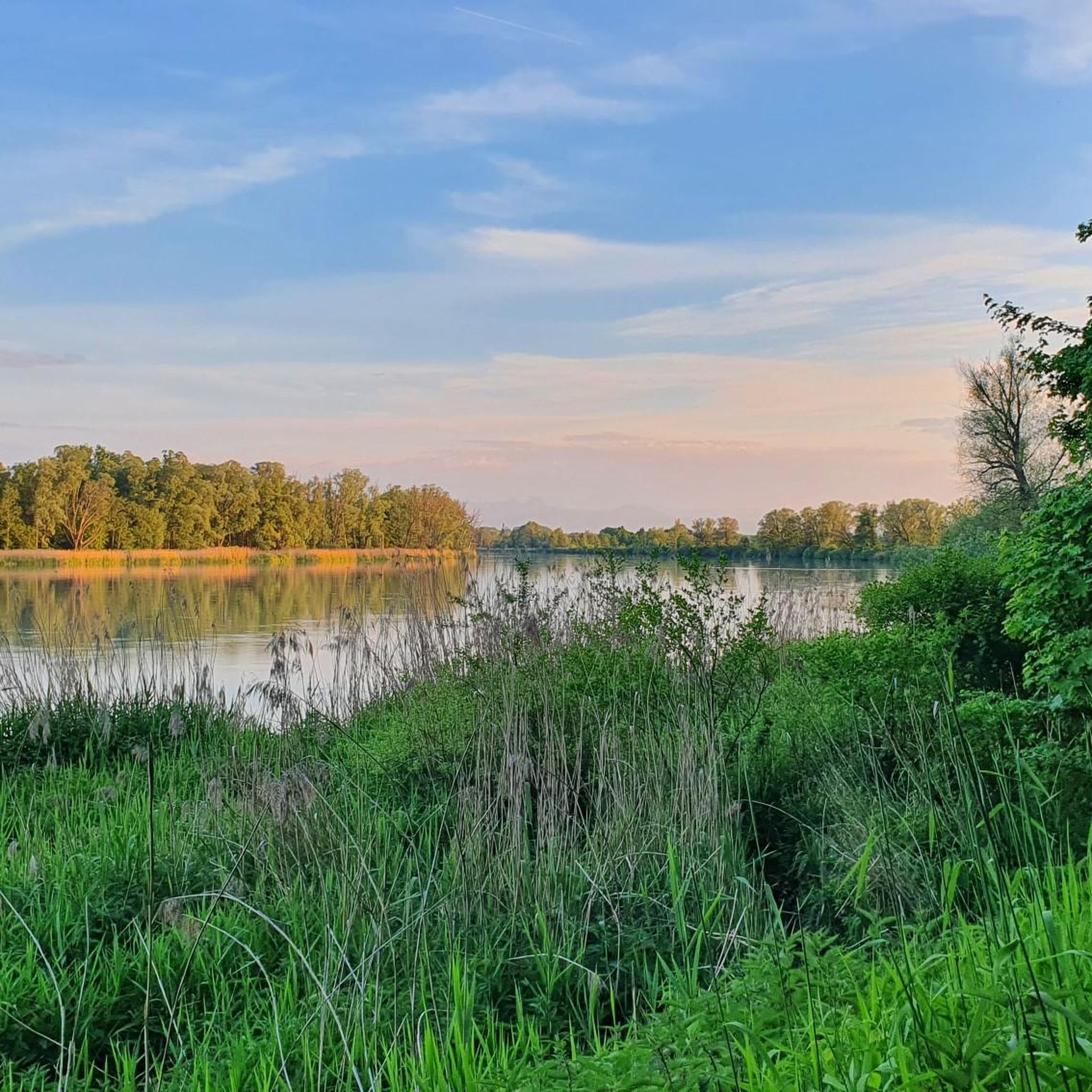
Running Trails in Vogelfreistätte Innstausee Bei Attel Und Freiham
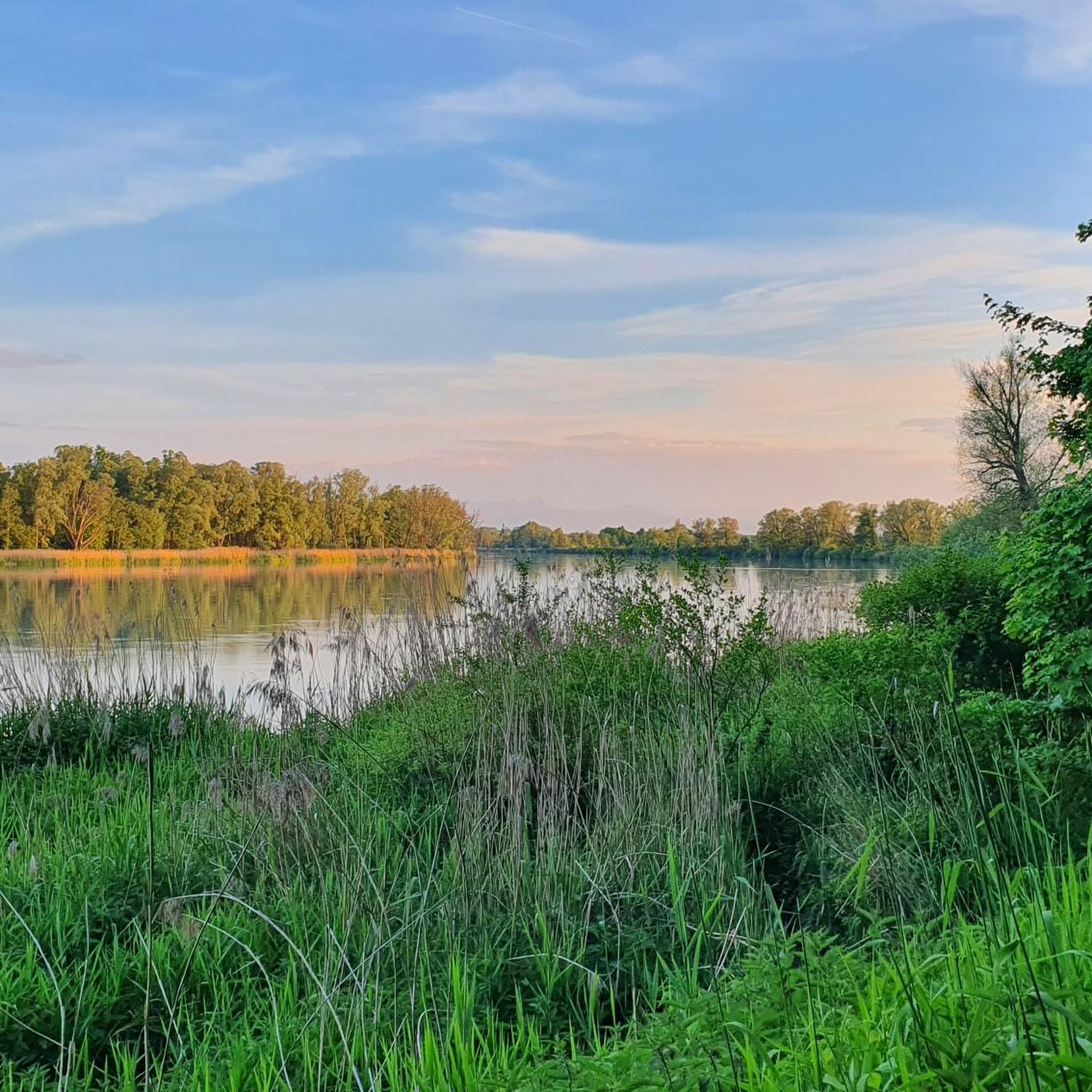
MTB Trails in Vogelfreistätte Innstausee Bei Attel Und Freiham
Hiking in Vogelfreistätte Innstausee Bei Attel Und Freiham
Tips from the Community

The first bridge over the Inn from Rosenheim.
0
0

The bridge over the Murn is currently closed to all road users due to construction work.
0
1

The Murn Bridge will be completely closed from June 23, 2025. The bridge is being completely rebuilt. Bicycles are also not allowed through; we had to turn around.
2
0

Bridge over the Murn River: Closed from June 23, 2025. Behind it, turn left, then around the right-hand bend and immediately climb steeply at 18%.
0
0


The panorama opens up right at the entrance to the town. It's wonderful!
3
0

Very nice cycle path along the Inn and easy to ride
0
0
Great for a little break
0
0
Frequently Asked Questions
What kind of terrain can I expect on the gravel bike trails in Vogelfreistätte Innstausee Bei Attel Und Freiham?
The trails primarily follow the Inn Cycle Path, offering a mix of flat, gravelled sections along the river embankment. You'll encounter diverse habitats like wetlands and riparian forests, making for varied and scenic rides. The mixed surfaces are ideal for gravel bikes, balancing speed with the robustness needed for unpaved paths.
Are there gravel bike routes suitable for beginners or families?
Yes, the region offers a range of routes, including 12 easy options. These typically feature flat, well-maintained gravel paths along the Inn River, making them suitable for less experienced riders and families. While specific family-friendly routes aren't detailed, the general nature of the easy trails along the Inn Cycle Path is very accommodating.
What are some notable sights or attractions I can see along the gravel bike trails?
As you cycle along the Inn River, you'll experience the unique landscapes of this bird sanctuary, including extensive wetlands and riparian forests. Keep an eye out for diverse bird species. For specific points of interest, consider visiting the Bridge over the Inn with stone statue or exploring the Inn Cycle Way itself, which offers continuous scenic views, sometimes extending to the Alpine panorama.
Are there any regulations I should be aware of when cycling in this nature reserve?
Yes, as a protected bird sanctuary, it's crucial to adhere to regulations. Cyclists must stay on designated paths, such as the Inn Cycle Path, and respect all signage regarding protected areas. Certain zones may have year-round access bans or seasonal restrictions to prevent disturbance to breeding and resting birds. A mindful approach ensures the preservation of this sensitive ecosystem.
What is the best time of year for gravel biking in Vogelfreistätte Innstausee Bei Attel Und Freiham?
The region is beautiful year-round, but spring and autumn are particularly pleasant for gravel biking, offering mild temperatures and vibrant scenery. These seasons also provide excellent opportunities for birdwatching as migratory birds pass through. Always check for any seasonal restrictions in specific areas of the bird sanctuary.
Are there any longer or more challenging gravel bike routes available?
Absolutely. For those seeking a challenge, there are 20 difficult routes in the area. One such option is The Inn River in Rosenheim – View of the Inn River loop from Edling, a 33.3-mile (53.7 km) trail offering extensive views along the Inn River. Another demanding route is View of Höslwang and the Alps – Friedlsee loop from Rott (Inn), which covers 61.4 km with significant elevation gain.
Can I find circular gravel bike routes in the area?
Yes, many of the gravel bike routes in Vogelfreistätte Innstausee Bei Attel Und Freiham are designed as loops, allowing you to start and end at the same point. For example, Friedlsee – View of the Bavarian Alps loop from Wasserburg am Inn is a moderate 16.3-mile (26.2 km) path that provides views of the Bavarian Alps and passes by Friedlsee.
Where can I park my car when visiting the gravel bike trails?
While specific parking locations aren't detailed, the region around the Inn Cycle Path typically offers various parking options in nearby towns and villages that serve as starting points for tours. Look for designated parking areas in places like Wasserburg am Inn or Edling, which are common access points for these routes.
Are there places to eat or drink near the gravel bike trails?
Yes, you'll find options for refreshments in the charming historical towns along the Inn River. For instance, the Fisherman's Inn is a highlight, and the Modest Coffee Roastery offers a chance to refuel. Many routes pass through or near these towns, providing convenient stops.
What do other gravel bikers enjoy most about this region?
The area is highly rated by the komoot community, with an average score of 4.6 stars from over 170 reviews. Riders frequently praise the continuous scenic views along the Inn River, the well-maintained gravel paths, and the unique experience of cycling through a diverse nature reserve. The ability to combine speed with robustness on the mixed surfaces is also a highlight.
How long do gravel bike routes typically take in this area?
Route durations vary significantly based on distance and difficulty. For example, a moderate route like Along the Inn – Schocker Dam on the Inn loop from Wasserburg (Inn), which is 21.2 miles (34.1 km), can be completed in about 2 hours 15 minutes. Longer, more difficult routes will naturally take more time, such as the 33.3-mile (53.7 km) The Inn River in Rosenheim – View of the Inn River loop from Edling, which typically takes around 2 hours 46 minutes.
Can I access the gravel bike trails using public transport?
The region around the Inn River, including towns like Wasserburg am Inn, is generally accessible by public transport. While specific connections to trailheads aren't provided, planning your journey to these larger towns will likely put you within easy reach of the Inn Cycle Path and its gravel sections.
Are there any routes that offer views of the Bavarian Alps?
Yes, some routes provide stunning views of the Bavarian Alps, especially on clear days. For instance, the Friedlsee – View of the Bavarian Alps loop from Wasserburg am Inn is specifically highlighted for its Alpine vistas, alongside passing by Friedlsee.
Most popular routes in Vogelfreistätte Innstausee Bei Attel Und Freiham
Most popular attractions in Vogelfreistätte Innstausee Bei Attel Und Freiham

Get inspired with the komoot mobile app


Explore more
Browse the best Gravel rides in other regions.
