The best gravel rides in Babenstubener Moore
4.5
(93)
472
riders
86
rides
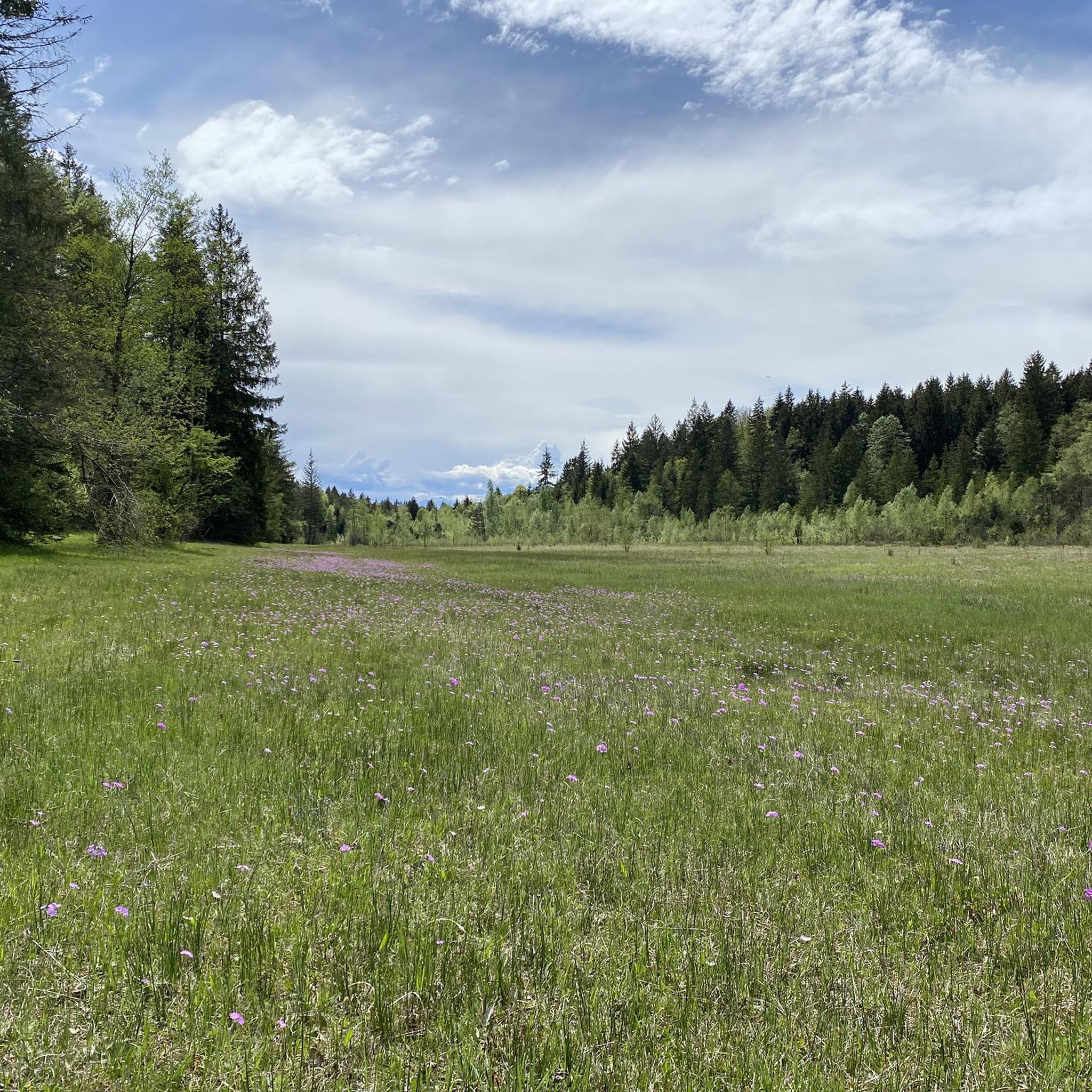
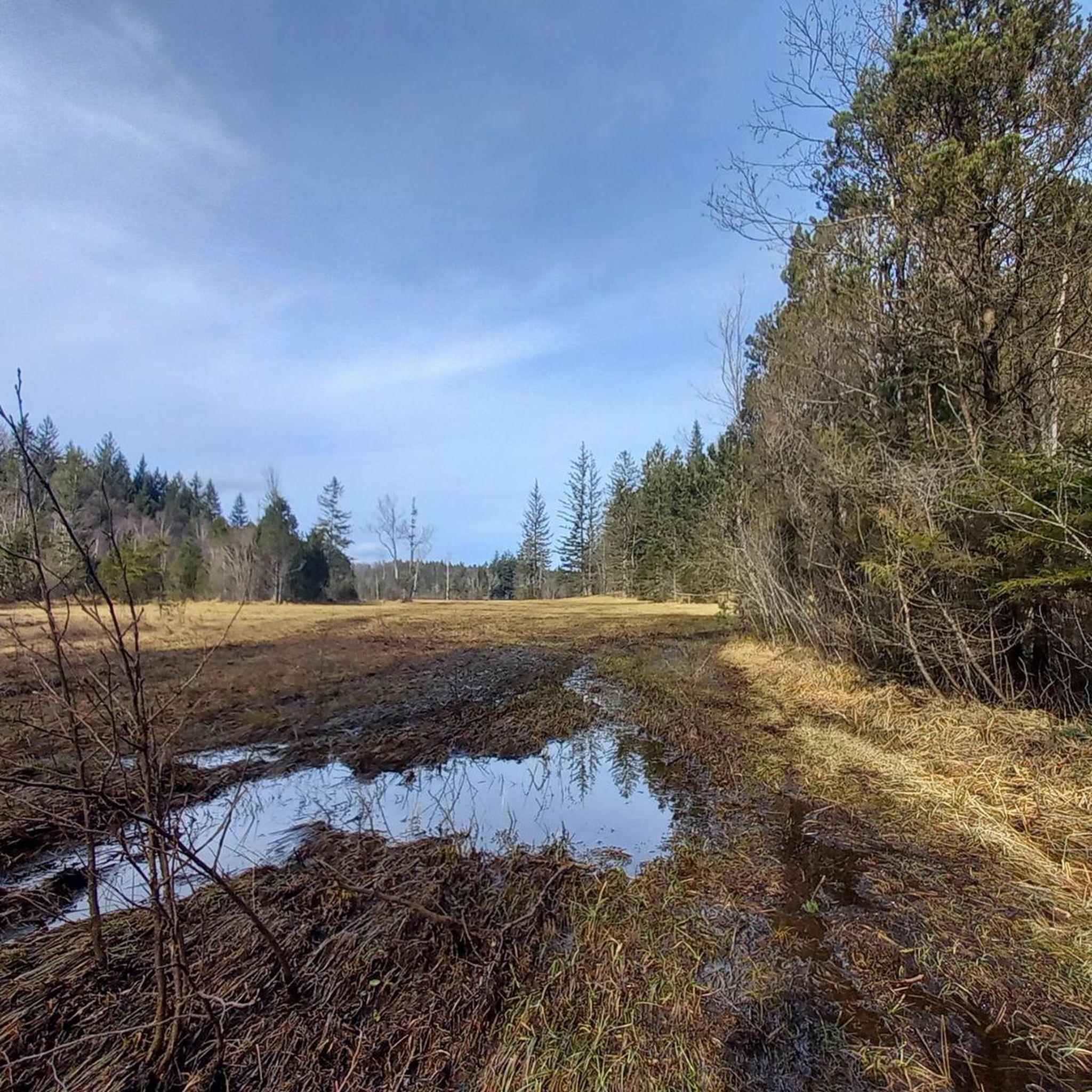
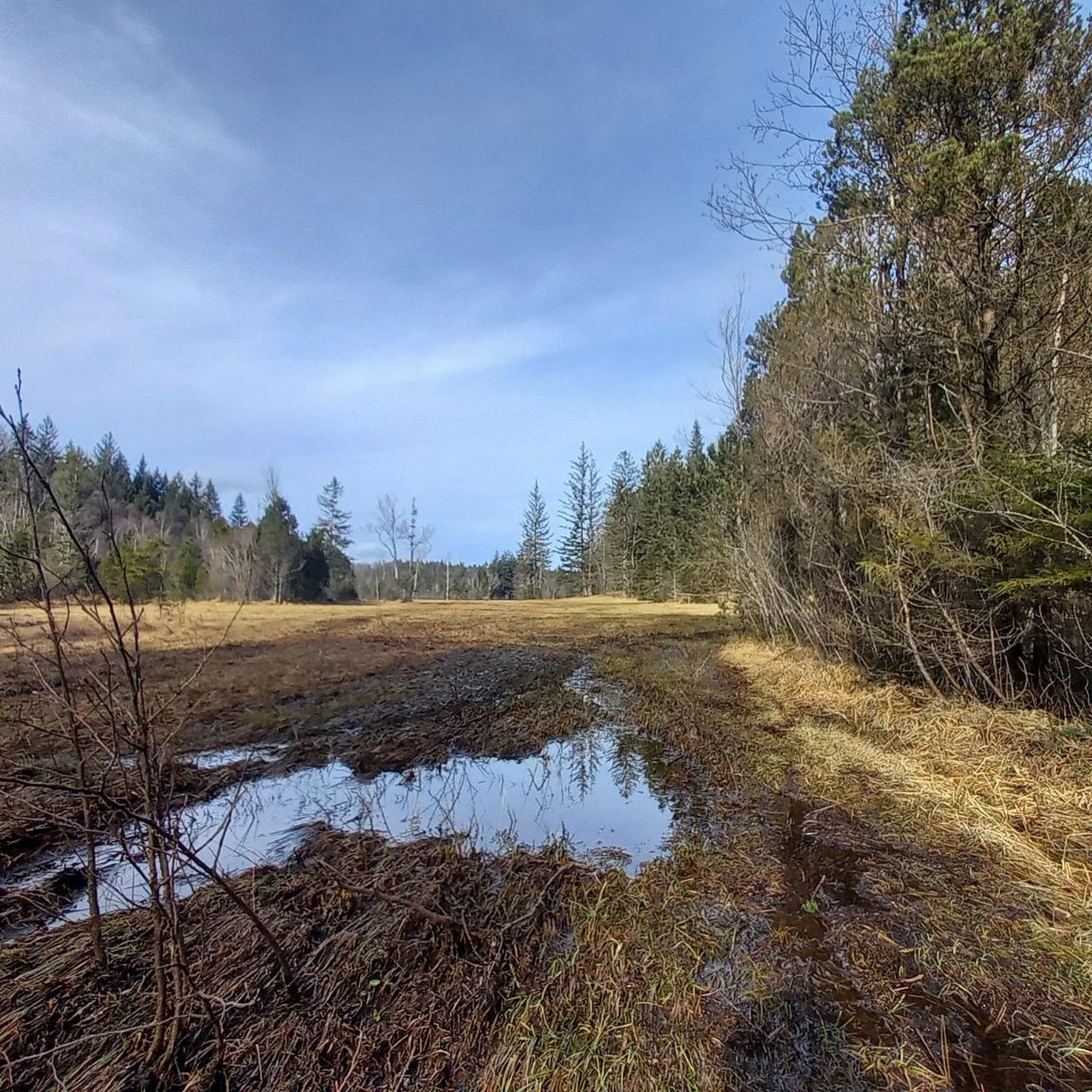
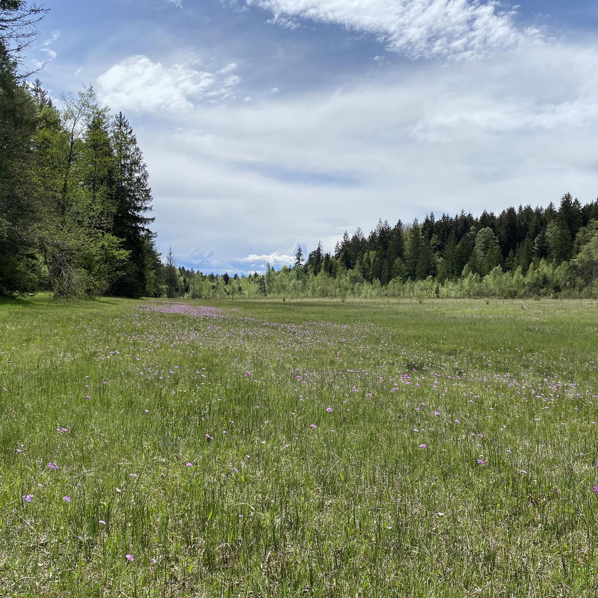
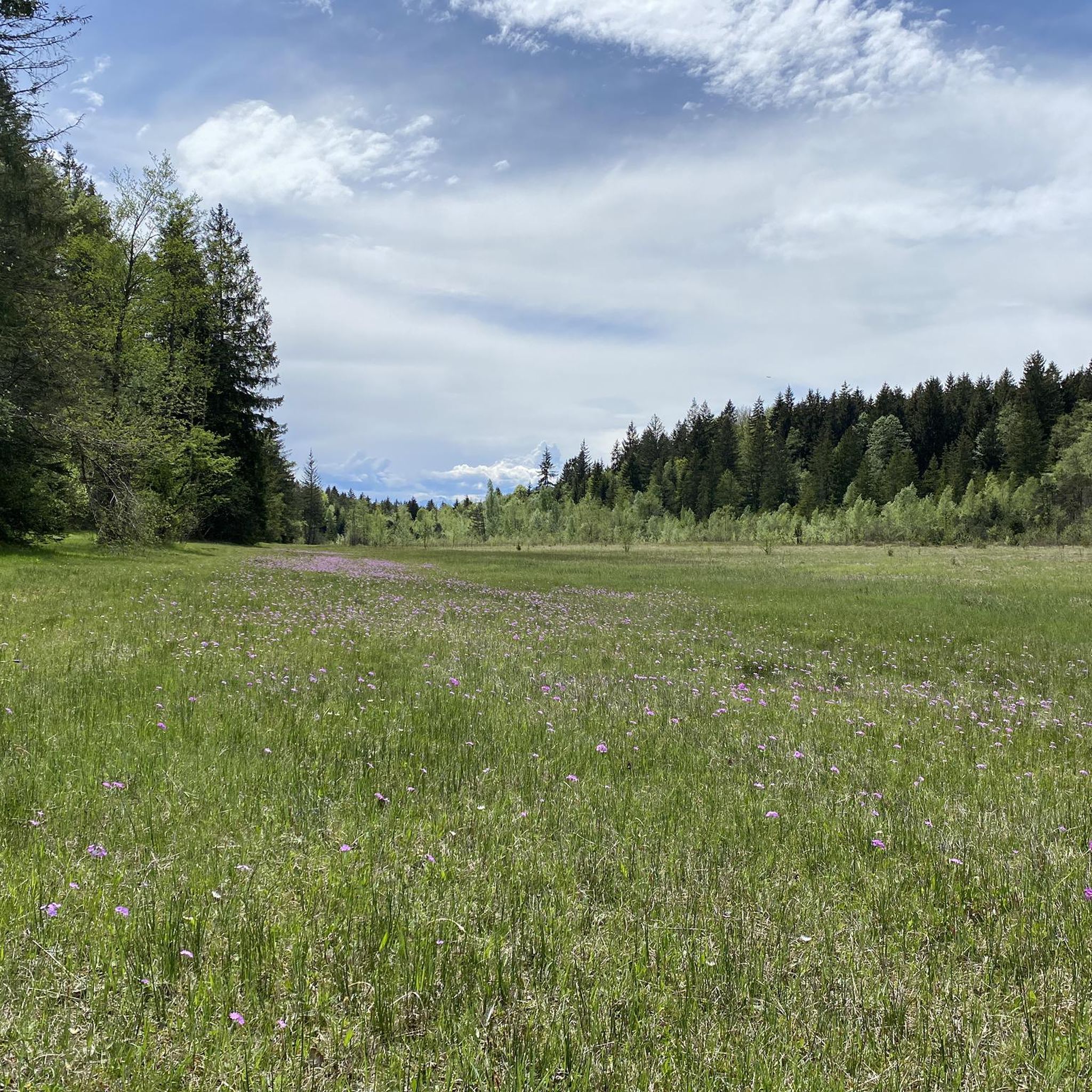
Gravel biking in Babenstubener Moore offers routes through a unique moorland landscape, a remnant of an Ice Age lake. The region is characterized by high, transitional, and low moors, interspersed with moor ponds and bog forests. Riders can also encounter the undulating terrain of the Buckelwiesen, which are hummock meadows formed by glacial activity, and explore near-natural mixed forests. This diverse environment provides varied surfaces suitable for gravel cycling.
Best gravel bike trails in Babenstubener Moore
- The most popular gravel bike trail is View of Reutberg – Lake Kirchsee loop from Geretsried, a 29.6 miles (47.7 km) trail that takes 2 hours 47 minutes to complete. This difficult route offers views towards Lake Kirchsee and the surrounding moorland.
- Another top favourite among local gravel bikers is Wackersberger Alm – View from the Isar footbridge loop from Geretsried, a difficult 35.1 miles (56.5 km) path. This route features significant elevation gain and views of the Isar river landscape.
- Local gravel bikers also love the Deininger Pond – Deininger Moor loop from Geretsried, a 26.9 miles (43.2 km) trail leading through the Deininger Moor, often completed in about 2 hours 32 minutes.
- Gravel biking in Babenstubener Moore is defined by its distinctive moorlands, the unique Buckelwiesen, and mixed forests. The network offers options for easy, moderate, and difficult routes, catering to various skill levels.
- The routes in Babenstubener Moore are highly rated by the komoot community with an average score of 4.4 stars from over 100 reviews. More than 600 gravel bikers have used komoot to explore Babenstubener Moore's varied terrain.
Last updated: August 13, 2026
4.8
(5)
18
riders
47.6km
02:47
500m
500m
Hard gravel ride. Very good fitness required. Mostly paved surfaces. Suitable for all skill levels.
4.7
(3)
9
riders
Hard gravel ride. Very good fitness required. Mostly paved surfaces. Suitable for all skill levels.

Sign up for free
5.0
(1)
4
riders
43.2km
02:32
320m
320m
Moderate gravel ride. Good fitness required. Mostly paved surfaces. Suitable for all skill levels.
17
riders
16.8km
00:50
50m
50m
Easy gravel ride. Great for any fitness level. Mostly paved surfaces. Suitable for all skill levels.
4.0
(1)
10
riders
48.5km
02:40
330m
330m
Moderate gravel ride. Good fitness required. Mostly paved surfaces. Suitable for all skill levels.
Get access to more routes and recommendations from other explorers.
Sign up for free
Already have an account?
Our route recommendations are based on thousands of hikes, rides, and runs completed by other people on komoot.
Start today with a free account
Your next adventure awaits.
Login or Signup
Tips from the Community

Beautiful path along Kirchsee
1
0
Beautiful view over the lake towards the mountains
1
0
Beautiful view of the Harmatinger Weiher
1
0
Beautiful path with views and churches
1
0
Beautiful small lake for relaxing
1
0

On the hill, there was originally a small field chapel. When the plague swept through our area around 1627, it raged particularly severely in the Buchen area. The plague dead were buried at the chapel. At that time, the inhabitants made a vow to build a church there in honor of the Mother of God after the end of the plague. As early as 1636, the survivors erected a Church of Mary. 1711/13 expansion of the church and sacristy, 1737/38 raising of the church walls. In 1757, the church received a new high altar. A further extension followed in 1849. (https://www2.erzbistum-muenchen.de/pfarrei/pv-koenigsdorf-beuerberg/cont/50939)
0
0

The Schindergraben Bump is currently a construction site (as of July 17, 2026). It looks impassable, but there is a pedestrian bridge over the Schindergraben, which you can use to push your bike if you overcome the barriers beforehand.
0
0

Here you can cross the Isar dry-shod and enjoy nature at the same time
8
0
Frequently Asked Questions
How many gravel bike trails are available in Babenstubener Moore?
There are over 130 gravel bike trails in Babenstubener Moore, offering a wide range of options for different skill levels. You'll find 22 easy routes, 84 moderate routes, and 31 difficult routes to explore.
What kind of terrain can I expect on gravel bike trails in Babenstubener Moore?
The terrain in Babenstubener Moore is quite diverse, reflecting its unique natural history. You'll encounter paths through distinct moorlands, including high, transitional, and low moors, often interspersed with moor ponds and bog forests. Additionally, some routes feature the undulating 'Buckelwiesen' (hummock meadows), which are a geomorphological specialty of the Alpine region, and near-natural mixed forests. This variety provides engaging surfaces for gravel cycling.
Are there any easy gravel bike routes suitable for beginners or families?
Yes, Babenstubener Moore offers 22 easy gravel bike routes. A good option for a less challenging ride is the Isar Dam – Pupplinger Au loop from Geretsried, which is 17.8 km long and features minimal elevation gain, making it suitable for a relaxed outing.
What are some notable natural features or landmarks to see along the gravel bike trails?
Babenstubener Moore is rich in natural beauty. You can explore the Babenstubener Moors Nature Reserve itself, with its unique moor and reed mounds. The Egelsee is another beautiful spot. Many routes also traverse the scenic 'Buckelwiesen' (hummock meadows) and offer views of the Isar river landscape.
What do other gravel bikers say about their experience in Babenstubener Moore?
The gravel biking routes in Babenstubener Moore are highly rated by the komoot community, with an average score of 4.4 out of 5 stars from over 100 reviews. Riders often praise the diverse landscapes, the tranquility of the moorlands, and the variety of trails suitable for different skill levels.
Are there any circular gravel bike routes in the area?
Yes, many of the gravel bike trails in Babenstubener Moore are designed as loops. For example, the Deininger Pond – Deininger Moor loop from Geretsried is a popular moderate circular route that takes you through the Deininger Moor.
What is the best time of year for gravel biking in Babenstubener Moore?
The best time for gravel biking in Babenstubener Moore is generally from spring through autumn. During these seasons, the moorlands are vibrant with diverse flora, including numerous butterfly species, primroses, and marsh gentians. The trails are typically dry and pleasant for riding. While winter riding is possible, some paths might be wet or icy, and the unique flora will not be as prominent.
Are there any longer or more challenging gravel bike routes for experienced riders?
Yes, for experienced riders seeking a challenge, there are 31 difficult routes. A demanding option is the Wackersberger Alm – View from the Isar footbridge loop from Geretsried, which is 56.5 km long and features significant elevation gain, offering expansive views of the Isar river landscape.
Can I find routes that offer views of lakes or other bodies of water?
Absolutely. Several routes provide scenic views of water features. The View of Reutberg – Lake Kirchsee loop from Geretsried, for instance, offers beautiful vistas towards Lake Kirchsee and the surrounding moorland.
Are there any routes that pass through towns or offer opportunities to explore local culture?
While the focus of Babenstubener Moore is its natural landscape, some routes can connect you to nearby towns. The Bad Tölz Market Street – View of the Isar loop from Geretsried is a longer route that includes views towards Bad Tölz, allowing for a blend of nature and local exploration.
What kind of wildlife might I encounter while gravel biking in Babenstubener Moore?
Babenstubener Moore is a nature reserve known for its rich biodiversity. You might encounter a remarkable diversity of rare flora and fauna, particularly numerous butterfly species that thrive among the flowering plants like primroses, marsh gentians, and globeflowers. The moorlands and bog forests also provide habitats for various birds and small mammals.
Most popular routes in Babenstubener Moore
Most popular attractions in Babenstubener Moore

Get inspired with the komoot mobile app


Explore more
Browse the best Gravel rides in other regions.
