The best gravel rides in Långhultamyrens Naturreservat
5.0
(1)
26
riders
4
rides
Gravel biking in Långhultamyrens Naturreservat offers diverse landscapes and a network of trails suitable for various skill levels. The region is characterized by varied terrain, including dense forests and areas with wetlands, consistent with its name suggesting mire or bog. While specific internal landscape details are not extensively provided, the broader area features beech woods and natural backdrops for outdoor activities. The trails navigate through these environments, providing a range of experiences from accessible paths to more challenging climbs.
Best…
Last updated: July 2, 2026
5
riders
13.7km
00:42
70m
70m
Easy gravel ride. Great for any fitness level. Mostly paved surfaces. Suitable for all skill levels.
9
riders
Hard gravel ride. Very good fitness required. Mostly paved surfaces. Suitable for all skill levels.

Sign up for free
5.0
(1)
8
riders
Moderate gravel ride. Good fitness required. Mostly paved surfaces. Suitable for all skill levels.
3
riders
Moderate gravel ride. Good fitness required. Mostly paved surfaces. Suitable for all skill levels.
1
riders
25.6km
01:38
130m
130m
Easy gravel ride. Great for any fitness level. Mostly paved surfaces. Suitable for all skill levels.
Our route recommendations are based on thousands of hikes, rides, and runs completed by other people on komoot.
Start today with a free account
Your next adventure awaits.
Login or Signup
Popular around Långhultamyrens Naturreservat
Tips from the Community

Only accessible after a 10-15 minute hike through relatively dense nature! Not accessible by bike.
0
0

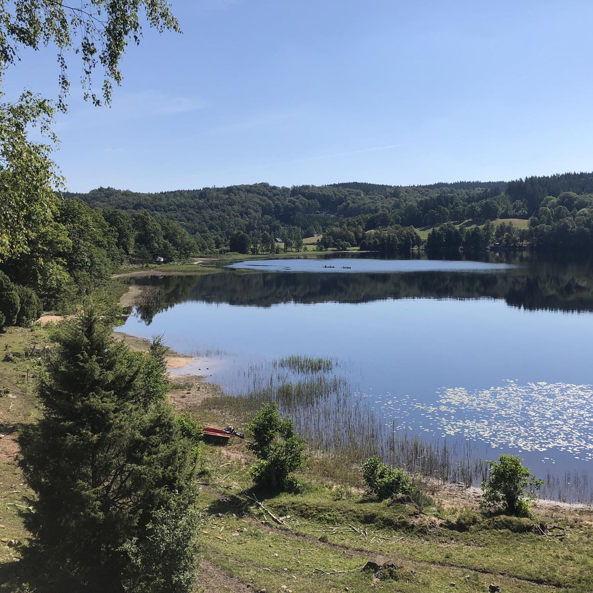
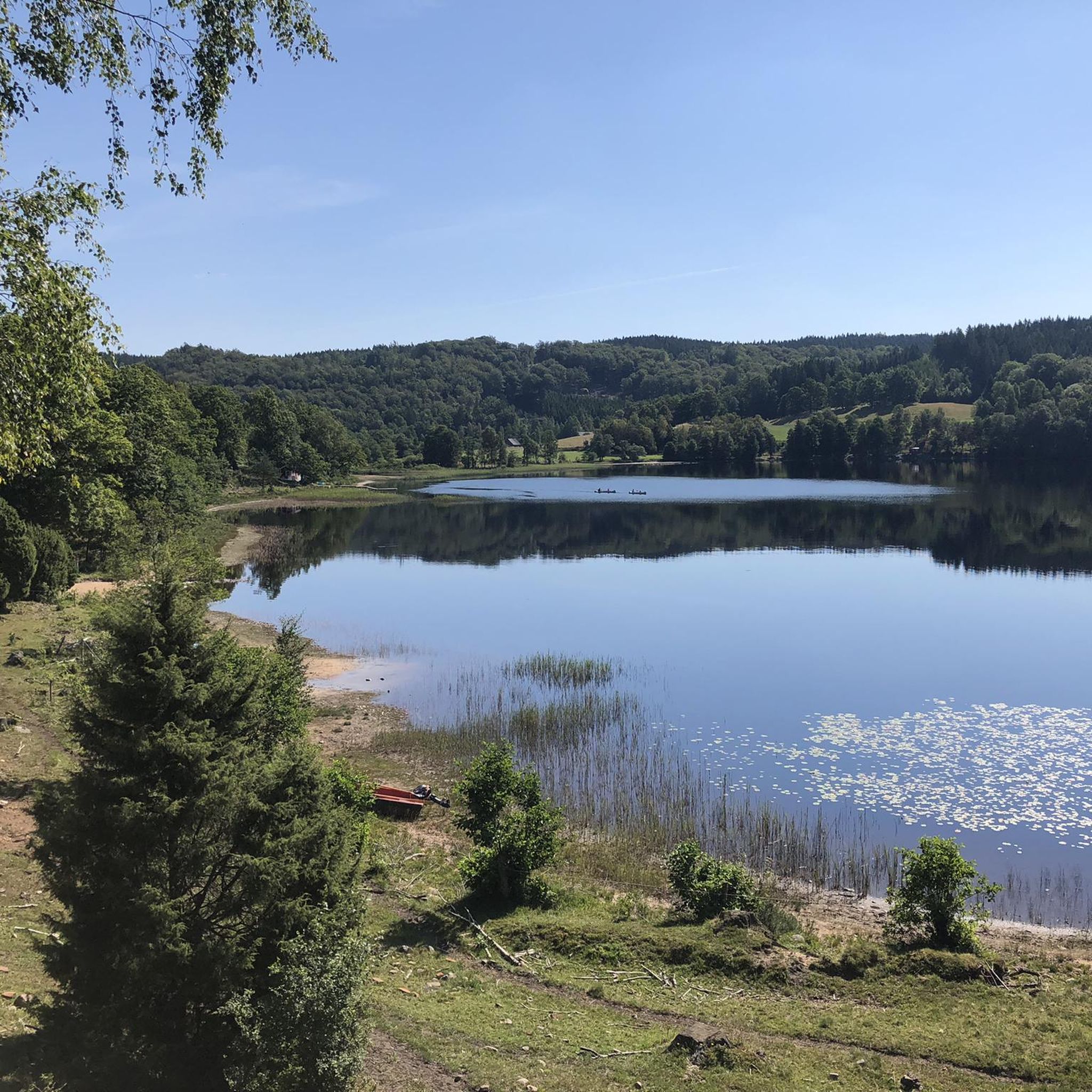
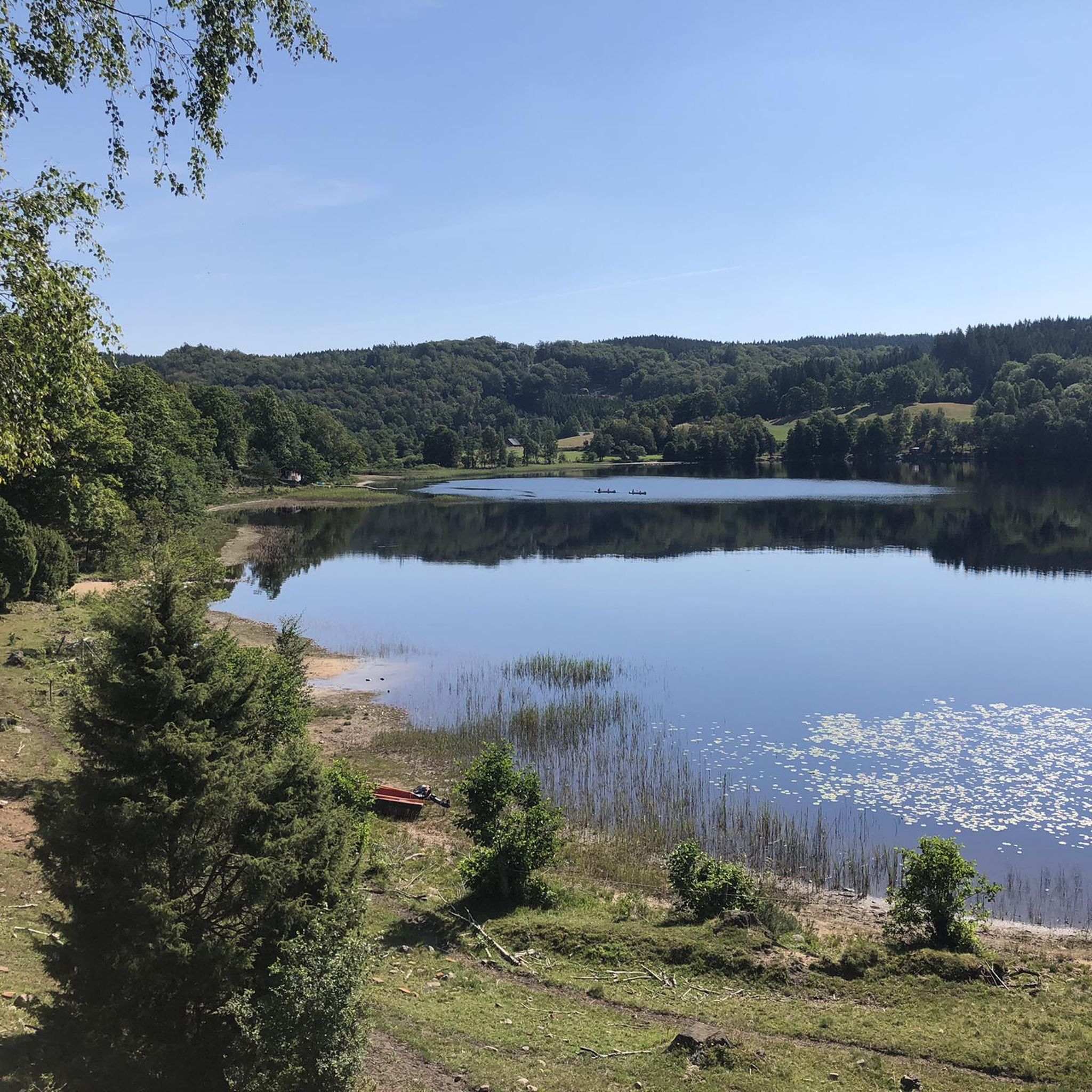
A great place to rest, with a table and benches overlooking the lake. On the other side of the headland is a sandy beach for swimming.
0
0

Right at the northernmost point of Lake Simlången, a bridge takes you acorss the water. There's a great view of the two lakes.
0
0
Beautiful lake with a great footpath leading all the way around. On the east side of the lake you'll walk through the beautiful beech forests of the Bröda and Veka nature reserves. The entire western side of the trail runs on the old railway embankment.
0
0

The bike path at the old train station is great
0
0
There are probably seldom more beautiful shelter places
0
0

A good place for cyclists passing through to regain their strength. Here you can find everything your hungry heart desires, from ice cream to schnitzel and cola.
0
0

The train station is located approximately halfway along the cycle path over the old railway line. From here you can easily head towards Halmstad or in the other direction along the lakes into the forests.
1
0
Frequently Asked Questions
How many gravel bike trails are available in Långhultamyrens Naturreservat?
Långhultamyrens Naturreservat offers a selection of 4 gravel bike routes, catering to various skill levels. These routes navigate through the diverse landscapes of the nature reserve.
What kind of terrain can I expect on the gravel bike trails in Långhultamyrens Naturreservat?
The terrain in Långhultamyrens Naturreservat is quite varied, featuring dense forests, areas with wetlands, and diverse natural backdrops. As its name suggests ('myren' meaning mire or bog), you might encounter marshlands. Routes range from accessible paths to more challenging climbs, providing a rich cycling experience.
Are there any easy gravel bike routes suitable for beginners or families?
Yes, there are easy routes perfect for beginners or families. For instance, the Lake Mahult – Lake Simlången loop from Sutarebo is an easy 14.7 km (9.1 miles) trail with a modest elevation gain, making it suitable for all skill levels. Another easy option is the View from Hunnsberget – Picnic Area by the Lake loop from Bassarås, which is 25.6 km (15.9 miles) long.
What are some notable natural features or landmarks I might see along the trails?
While exploring the gravel trails, you can encounter varied natural features. One route, the Matöppet Kiosk & Snack Bar – Bridge Over Waterfall loop from Danska Falls naturreservat, passes by a bridge over a waterfall. Another, the Matöppet Kiosk & Snack Bar – Wooden Bridge Over Stream loop from Simlångsdalen, features a wooden bridge over a stream. The region itself is characterized by dense forests and wetlands.
Are there any challenging gravel bike routes for experienced riders?
Absolutely. For experienced riders seeking a challenge, the Matöppet Kiosk & Snack Bar – Wooden Bridge Over Stream loop from Simlångsdalen is a difficult 78.6 km (48.8 miles) trail with a significant elevation gain of 618 meters (2,028 feet), often taking over 6 hours to complete.
What is the typical length of gravel bike routes in Långhultamyrens Naturreservat?
The gravel bike routes in Långhultamyrens Naturreservat vary significantly in length. You can find shorter, easy rides like the 14.7 km (9.1 miles) Lake Mahult – Lake Simlången loop from Sutarebo, up to longer, more challenging expeditions such as the 78.6 km (48.8 miles) Matöppet Kiosk & Snack Bar – Wooden Bridge Over Stream loop from Simlångsdalen.
What do other gravel bikers say about the trails in Långhultamyrens Naturreservat?
The gravel biking experience in Långhultamyrens Naturreservat is highly regarded by the komoot community, holding an average rating of 5.0 stars. Riders often praise the varied terrain and the network of trails that offer options for different ability levels.
Are there any circular gravel bike routes available?
Yes, all the gravel bike routes listed for Långhultamyrens Naturreservat are circular loops, allowing you to start and finish at the same point. Examples include the Lake Mahult – Lake Simlången loop from Sutarebo and the Matöppet Kiosk & Snack Bar – Bridge Over Waterfall loop from Danska Falls naturreservat.
Is there parking available near the gravel bike trails?
While specific parking locations are not detailed for every route, many trails in natural reserves typically have designated parking areas at trailheads or nearby access points. It's advisable to check the starting point of your chosen route on komoot for more precise parking information.
Are there any cafes or places to get refreshments near the gravel bike routes?
Some routes, such as the Matöppet Kiosk & Snack Bar – Bridge Over Waterfall loop from Danska Falls naturreservat and the Matöppet Kiosk & Snack Bar – Wooden Bridge Over Stream loop from Simlångsdalen, start or pass by the Matöppet Kiosk & Snack Bar, offering a convenient spot for refreshments.
What is the best time of year to go gravel biking in Långhultamyrens Naturreservat?
Given the region's varied terrain, including wetlands, spring and autumn generally offer pleasant conditions with milder temperatures and beautiful scenery. Summer can also be great, but be prepared for potentially warmer weather. Winter riding is possible, but trail conditions might be affected by snow or ice, especially in marshy areas.
Most popular routes in Långhultamyrens Naturreservat

Get inspired with the komoot mobile app


Explore more
Browse the best Gravel rides in other regions.
