The best gravel rides in Romerike Landskapsvernområde
4.0
(1)
4
riders
3
rides
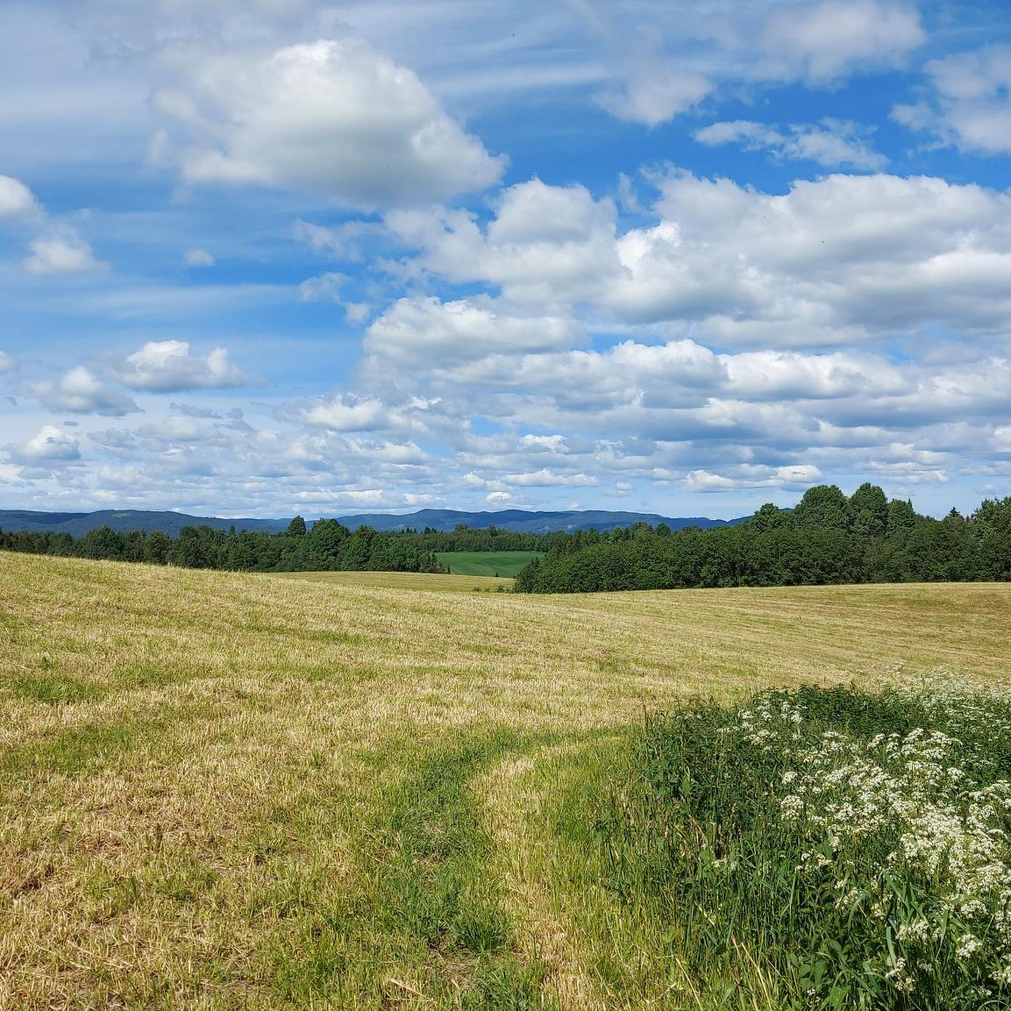
Gravel biking in Romerike Landskapsvernområde offers routes through a diverse landscape characterized by a well-preserved ravine system, cultivated fields, and varied forest types. The region features generally low elevation gains, with some routes incorporating gentle climbs through grey alder and spruce forests. Gravel bike trails here often connect natural areas with points of interest, providing a mix of surfaces suitable for gravel bikes.
Best gravel bike trails in Romerike Landskapsvernområde
- The most popular gravel bike trail is Trandumskogen Tank Shooting…
Last updated: July 3, 2026
2
riders
Easy gravel ride. Great for any fitness level. Mostly paved surfaces. Suitable for all skill levels.
4.0
(1)
1
riders
44.9km
02:39
170m
170m
Moderate gravel ride. Good fitness required. Mostly paved surfaces. Suitable for all skill levels.

Sign up for free
1
riders
47.1km
03:28
680m
680m
Hard gravel ride. Very good fitness required. You may need to push your bike for some segments of this route.
Our route recommendations are based on thousands of hikes, rides, and runs completed by other people on komoot.
Start today with a free account
Your next adventure awaits.
Login or Signup
Tips from the Community

The Aurmoen landskapsvernområde is a nature reserve north of Oslo Airport. Here you will find a car park that serves as the starting point for the many paths that criss-cross the area. As it borders a military base, you should check in advance whether any exercises are taking place. You can find the barracks' telephone number here: https://www.forsvaret.no/om-forsvaret/tjenestesteder/sessvollmoen.
0
0

3 walled shelter, perfect to shelter from weather. Has a fire pit, table, stove and other items in a plastic box.
1
0

Risebru is a pilgrim hostel located where the Trondhjemske kongeveien crosses the Risa river over an old stone bridge. A farm at this point is described in sources as early as 1594. The stone bridge over the river dates from 1827. The pilgrims' hostel is housed in a building from the beginning of the 19th century which used to house a shoemaker's workshop. Source: https://pilegrimsleden.no/interestpointer/risebru-pilegrimsherberge
1
0

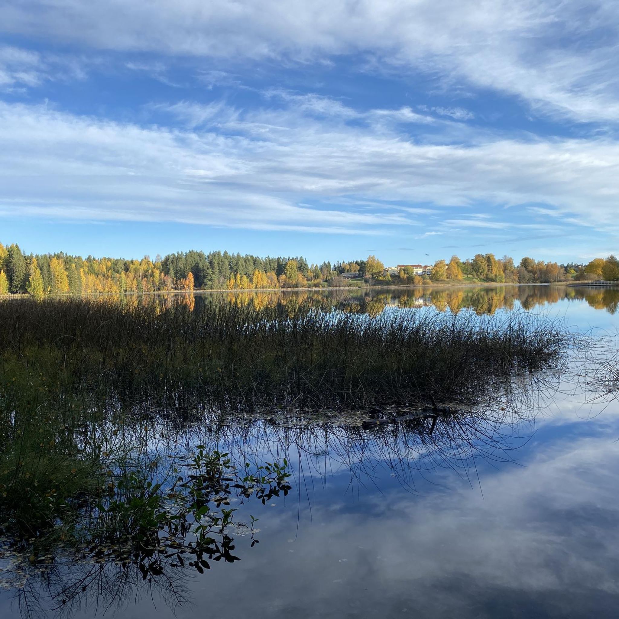
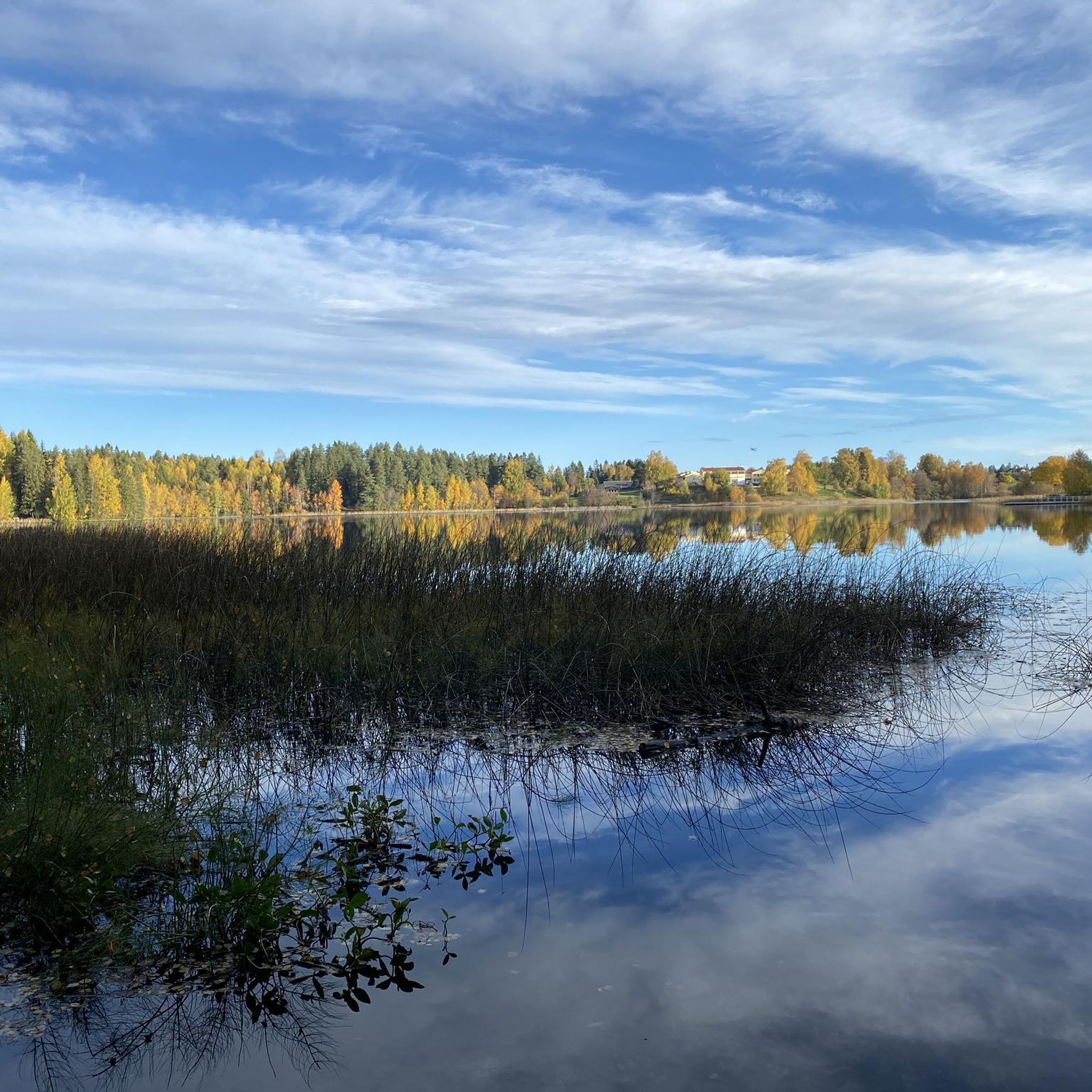
Nordbytjernet is an easy hike for both walking and cycle. Beautiful surroundings and many benches if you need a little rest. Birdlife😍
2
0

An amazing construction, that used to be a tank shooting range. Easily accesible on road bike. If you continue alway the way through and exit at the north end, you can take small gravel road back to the main road. An additional historical fact is that during WW2 almost 200 people were executed in the area. It's a very historic place to be. Worth a visit!
1
0

Idyllic and lonely in the middle of the forest.
0
0
Frequently Asked Questions
What is the general difficulty level of gravel biking in Romerike Landskapsvernområde?
Romerike Landskapsvernområde offers a range of gravel bike routes suitable for various skill levels. You'll find options from easy trails with low elevation gains to more moderate and even difficult routes that include more significant climbs, particularly around areas like Storøyungen Lake.
How many gravel bike trails are available in Romerike Landskapsvernområde?
There are several gravel bike trails in Romerike Landskapsvernområde, with a total of 4 routes currently featured in this guide. These include a mix of easy, moderate, and difficult options to explore the region's diverse landscapes.
Are there family-friendly gravel bike routes in Romerike Landskapsvernområde?
Yes, the region has routes suitable for families. Many trails feature generally low elevation gains and pass through forests and open landscapes, making them enjoyable for riders of different ages and abilities. The Trandumskogen Tank Shooting Range – Oslo Gardermoen Airport loop is an easy option that could be suitable for families.
What is the best time of year for gravel biking in Romerike Landskapsvernområde?
The best time for gravel biking in Romerike Landskapsvernområde is typically from spring through autumn when the weather is milder and the trails are dry. During these seasons, you can fully enjoy the forest paths, open fields, and lake-side sections. Winter conditions can bring snow and ice, making some routes challenging or impassable for gravel biking.
Are the gravel bike routes in Romerike Landskapsvernområde typically loop trails?
Yes, many of the gravel bike routes in Romerike Landskapsvernområde are designed as loops, allowing you to start and finish at the same point. Examples include the Oslo Gardermoen Airport – Nordnytjernet Lake loop and the Storøyungen Lake – Råsjøen Hunting Lodge loop, which offer convenient circular journeys through the landscape.
How long do gravel bike tours typically take in this region?
Gravel bike tours in Romerike Landskapsvernområde vary in length and duration. For instance, the Trandumskogen Tank Shooting Range – Oslo Gardermoen Airport loop takes approximately 1 hour 54 minutes, while longer routes like the Storøyungen Lake – Råsjøen Hunting Lodge loop can take over 3 hours to complete, depending on your pace and stops.
Where can I find parking for gravel biking in Romerike Landskapsvernområde?
Parking availability often depends on the specific starting point of your chosen route. Many trails begin near towns or accessible natural areas where public parking might be available. For example, routes starting from Jessheim or Nordby typically have parking options nearby, but it's always advisable to check the specific tour details on komoot for precise starting locations and potential parking information.
Are there any notable viewpoints or scenic spots on the gravel bike trails?
The gravel bike trails in Romerike Landskapsvernområde offer scenic views across varied terrain, including forests, open fields, and numerous lakes. While specific named viewpoints are not always marked, routes often pass by picturesque natural features like Nordnytjernet Lake, providing beautiful spots to pause and enjoy the landscape.
Can I go gravel biking in Romerike Landskapsvernområde during winter?
Gravel biking in Romerike Landskapsvernområde during winter can be challenging due to snow and ice. While some main roads might be cleared, many forest paths and gravel trails may be covered, requiring specialized winter cycling gear or making them unsuitable for gravel bikes. It's best to check local conditions before planning a winter ride.
What do other gravel bikers enjoy the most about gravel biking in Romerike Landskapsvernområde?
Gravel bikers using komoot often appreciate the region's varied terrain, which combines forest paths, open fields, and lake-side sections. The network of trails provides a good mix of easy to challenging routes, allowing riders to explore the natural beauty and points of interest like the Trandumskogen area.
Are there cafes or places to refuel along the gravel bike routes?
While the routes primarily focus on natural landscapes, some trails may pass near or through smaller towns like Jessheim or Nordby, where you might find opportunities for cafes or shops to refuel. It's recommended to carry sufficient water and snacks, especially on longer routes or those venturing deeper into natural areas.
Most popular routes in Romerike Landskapsvernområde

Get inspired with the komoot mobile app


Explore more
Browse the best Gravel rides in other regions.
