The best gravel rides in Gungaderra Grassland Nature Reserve
5.0
(1)
73
riders
5
rides
Gravel biking in Gungaderra Grassland Nature Reserve offers routes in the broader region surrounding the protected area, characterized by varied terrain including woodlands and open spaces. While the core Gungaderra Grassland Nature Reserve is primarily for low-impact activities like walking and birdwatching due to its sensitive ecosystem, the surrounding Canberra area provides opportunities for gravel biking. The landscape features rolling hills and natural environments adjacent to urban areas, with routes often traversing management trails and forest singletracks.
Best gravel bike…
Last updated: November 21, 2026
38
riders
Hard gravel ride. Very good fitness required. Mostly paved surfaces.
3
riders
Hard gravel ride. Very good fitness required. Mostly paved surfaces.

10
riders
45.9km
03:19
550m
550m
Hard gravel ride. Very good fitness required. Mostly paved surfaces.
9
riders
74.5km
04:45
930m
930m
Hard gravel ride. Very good fitness required. Mostly paved surfaces.
5.0
(1)
9
riders
Moderate gravel ride. Good fitness required. Mostly paved surfaces.
Our route recommendations are based on thousands of hikes, rides, and runs completed by other people on komoot.
Start today with a free account
Your next adventure awaits.
Popular around Gungaderra Grassland Nature Reserve


Tips from the Community


Mount Ainslie Nature Reserve covers 637 hectares of native bushland on Canberra's northeast edge, adjacent to Mount Majura Nature Reserve. There is a network of shared trails that wind through eucalypt forest, leading to beautiful views of Lake Burley Griffin and the city from the summit. Aside from the popular trails, the reserve also protects critically endangered grassy woodlands and diverse habitats that support threatened birds, rare plants, and native wildlife.
0
0
Campbell Link Trail is a management track that connects the suburb of Campbell with the trail network in Mount Ainslie Nature Reserve. The wide gravel path passes through open eucalypt woodland and links routes to the summit and several others throughout the reserve, for plenty of options for longer walks around the base of the mountain.
0
0
Mount Ainslie Nature Reserve covers 637 hectares of native bushland on Canberra's northeast edge, adjacent to Mount Majura Nature Reserve. There is a network of shared trails that wind through eucalypt forest, leading to beautiful views of Lake Burley Griffin and the city from the summit. Aside from the popular trails, the reserve also protects critically endangered grassy woodlands and diverse habitats that support threatened birds, rare plants, and native wildlife.
0
0
Scrivener Dam is a concrete gravity dam on the Molonglo River, completed in 1963, and is responsible for creating Lake Burley Griffin as a recreational and ornamental body of water. Named after surveyor Charles Scrivener, the dam is about 33 metres high and 319 metres long, with hydraulically operated fish‑belly flap gates that precisely control the lake levels and provide flood management capability. The dam also carries a roadway and the walking/cycling path, and helps form the backdrop to one of Canberra’s key engineering landmarks.
0
0
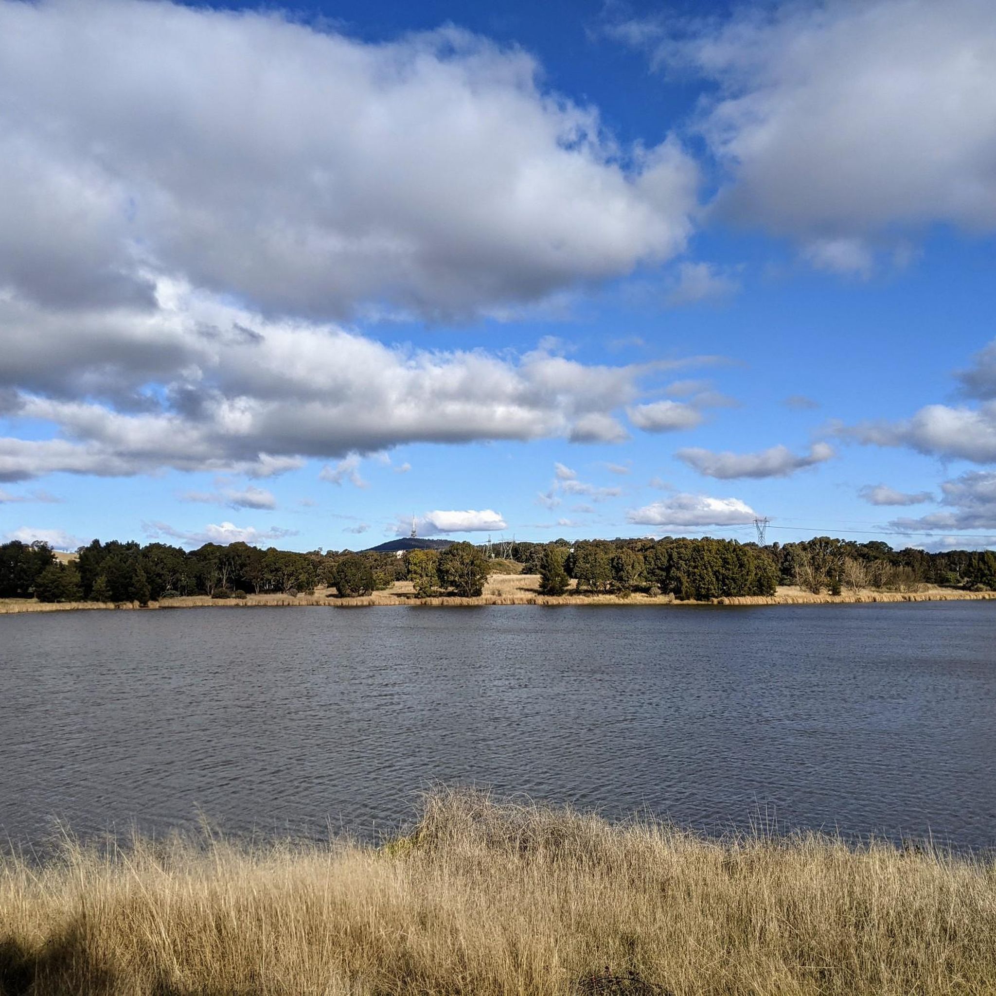
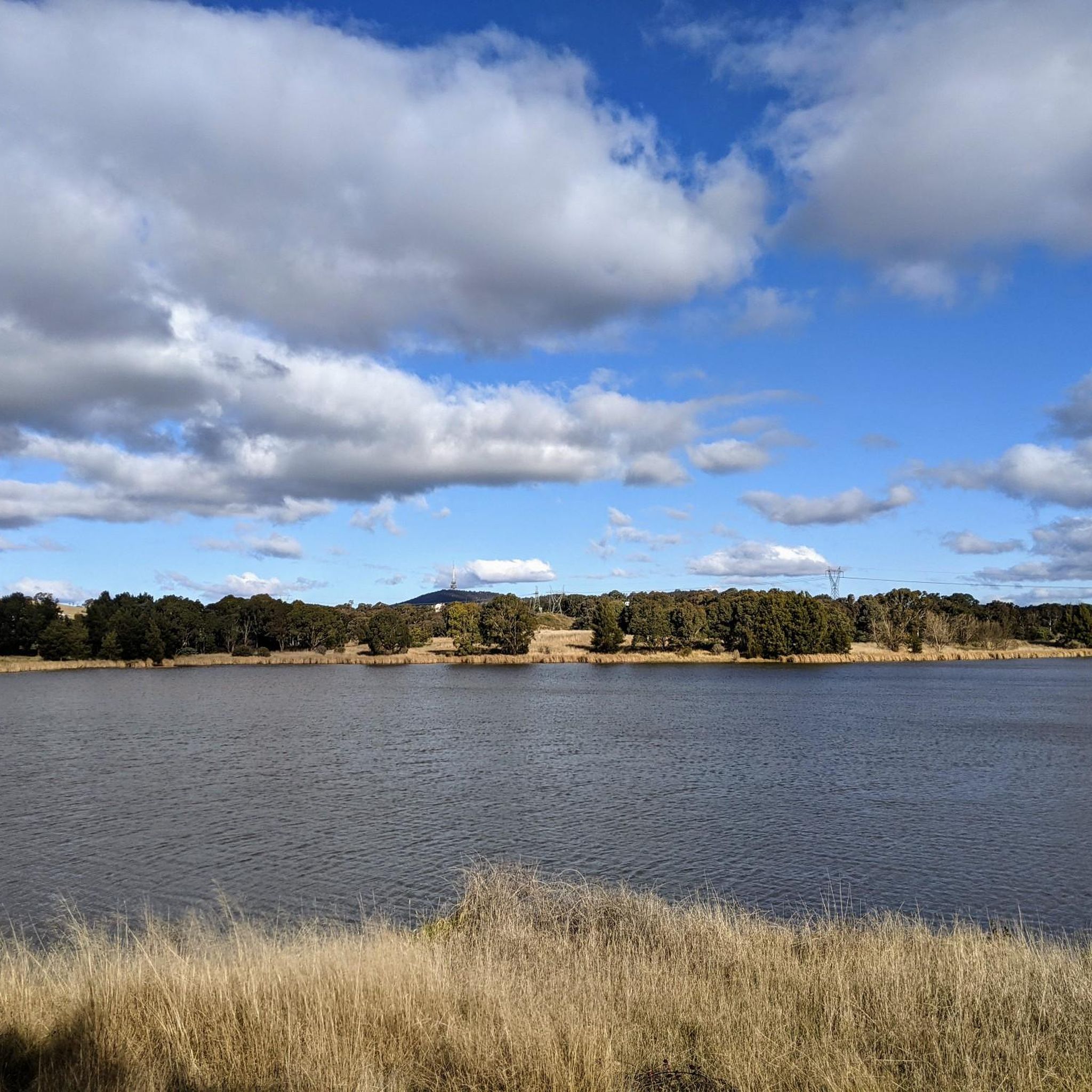
West Lake is the western section of Lake Burley Griffin and is the lake’s largest water expanse, popular for boating, sailing, rowing, and other recreational water activities. The tree‑lined foreshores and natural landscape also support water‑bird life and is a picturesque segment of the walking and cycling route along the lake.
0
0
Yarralumla Bay District Park sits on the southern foreshore of Lake Burley Griffin, between Orana Bay and Blue Gum Point, with a sandy beach and designated areas for swimming, paddling, boating, and other water sports. The park includes shaded picnic areas right along the lake’s cycleway/walkway and has launching ramps, piers, and clubhouses for sailing and rowing activities. It is a popular spot for year-round lakeside walking and water‑based recreation.
0
0
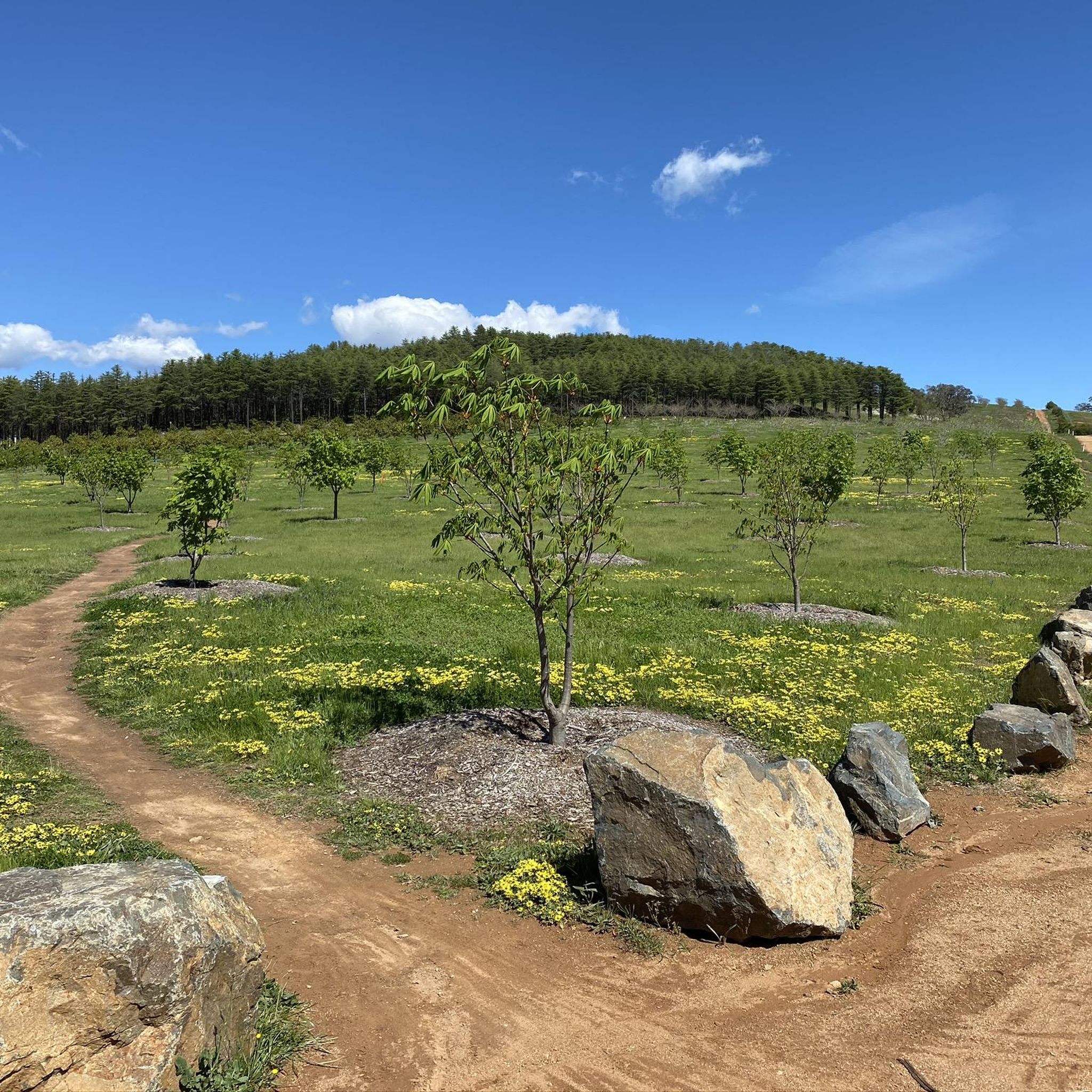
Canberra Centenary Trail is a long-distance walking and cycling route that forms a 145-kilometre loop around the Australian Capital Territory. In this rural section near Hall, the trail follows easy farm paths and grassy hills as it approaches the climb to One Tree Hill. This quieter part of the route offers expansive views of farmland and distant ranges, giving the walk a remote feel despite being close to Canberra.
0
0
Frequently Asked Questions
Can I go gravel biking directly within the Gungaderra Grassland Nature Reserve?
No, cycling, including gravel biking, is explicitly prohibited within the Gungaderra Grassland Nature Reserve itself. This is due to its sensitive natural environment and critical conservation values. The routes featured in this guide are located in the broader Canberra region, offering gravel biking experiences adjacent to or near the reserve's vicinity.
Where can I find gravel biking trails near Gungaderra Grassland Nature Reserve?
While the reserve itself is off-limits to bikes, the surrounding Canberra area provides excellent gravel biking opportunities. You'll find routes exploring forest singletracks, open grasslands, and rolling hills. For example, the Bruce Ridge Trailhead and Map – Forest Singletrack Trail loop from Phillip Avenue offers a great experience in the broader region.
What kind of terrain can I expect on gravel bike trails in the Gungaderra region?
The gravel bike trails in the broader Gungaderra region feature varied terrain, including forest singletracks, open grasslands, and management trails. You can expect rolling hills and natural environments, often adjacent to urban areas, providing a mix of challenges and scenic views.
Are there any beginner-friendly gravel bike routes in the area?
Most of the gravel routes in the Gungaderra region tend to be more challenging and longer in distance. While there is one easy route listed, the majority are rated as difficult. If you're a beginner, consider shorter sections of these routes or look for paths with less elevation gain. The Bruce Ridge Trailhead and Map – Forest Singletrack Trail loop from Phillip Avenue is a good starting point to gauge the local terrain.
What are some of the longer or more advanced gravel biking options available?
For experienced gravel bikers seeking a challenge, routes like the Forest Singletrack Trail – Scrivener Dam loop from GIO Stadium Canberra offer extensive forest riding and cover over 70 km. Another demanding option is the Lake Burley Griffin – Scrivener Dam loop from Alinga Street, which also features significant elevation changes over a long distance.
Are there any loop trails for gravel biking in the Gungaderra area?
Yes, several popular gravel biking routes in the region are designed as loops. For instance, the BentSpoke Brewing Co. – Mount Ainslie Lookout loop from Elouera Street takes you through urban fringes and towards Mount Ainslie. Another option is the Downhill Trail to Hall – Curvy Road Through Forest loop from Kinlyside Nature Reserve.
What can I do in Gungaderra Grassland Nature Reserve if I can't cycle?
While cycling is not permitted, Gungaderra Grassland Nature Reserve is excellent for low-impact activities such as walking, running, birdwatching, and general nature observation. It protects critically endangered natural temperate grassland and is home to diverse native flora and fauna, including vulnerable species. You can also explore Gungahlin Hill for views or visit Aboriginal heritage sites.
What do other gravel bikers enjoy most about the trails in the Gungaderra region?
The gravel biking routes in the broader Gungaderra region are highly rated by the komoot community, with an average score of 4.5 stars. Reviewers often praise the varied terrain, including forest singletracks and open grasslands, and the opportunity to explore the natural environments surrounding Canberra.
Are there any scenic viewpoints or attractions accessible by gravel bike in the area?
While the Gungaderra Grassland Nature Reserve itself has Gungahlin Hill offering views for hikers, gravel biking routes in the surrounding region can lead to other scenic spots. For example, the BentSpoke Brewing Co. – Mount Ainslie Lookout loop from Elouera Street includes a journey towards Mount Ainslie, which is known for its panoramic views of Canberra.
What is the best time of year for gravel biking near Gungaderra Grassland?
The Canberra region experiences distinct seasons. Autumn and spring generally offer the most pleasant conditions for gravel biking with mild temperatures and less extreme weather. Summer can be hot, while winter can be cool, requiring appropriate gear. Always check local weather forecasts before heading out.
Are there any cafes or places to eat near the gravel biking routes?
Given that many of the gravel biking routes are located in the broader Canberra region, often starting or passing through urban fringes, you'll find various cafes and eateries. For instance, the BentSpoke Brewing Co. – Mount Ainslie Lookout loop from Elouera Street starts near areas with amenities, including the mentioned brewery.
How many gravel bike trails are available in the Gungaderra region?
There are 9 gravel biking routes detailed in this guide for the broader Gungaderra region. These routes offer a range of distances and difficulties, primarily focusing on more challenging, longer distances.
Most popular routes in Gungaderra Grassland Nature Reserve

Get inspired with the komoot mobile app


Explore more
Browse the best Gravel rides in other regions.
