The best gravel rides around Pontnewydd
4.6
(6)
57
riders
4
rides
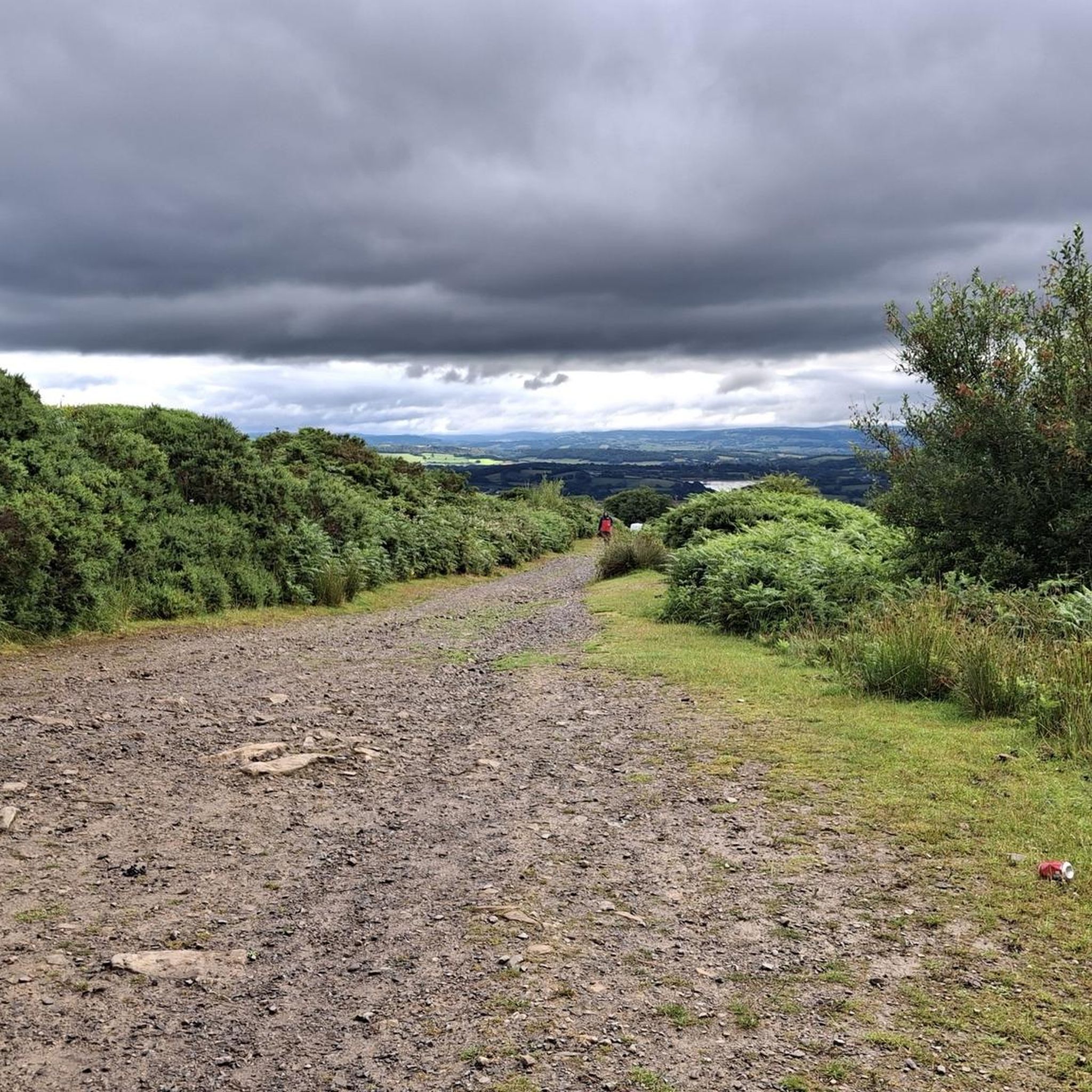
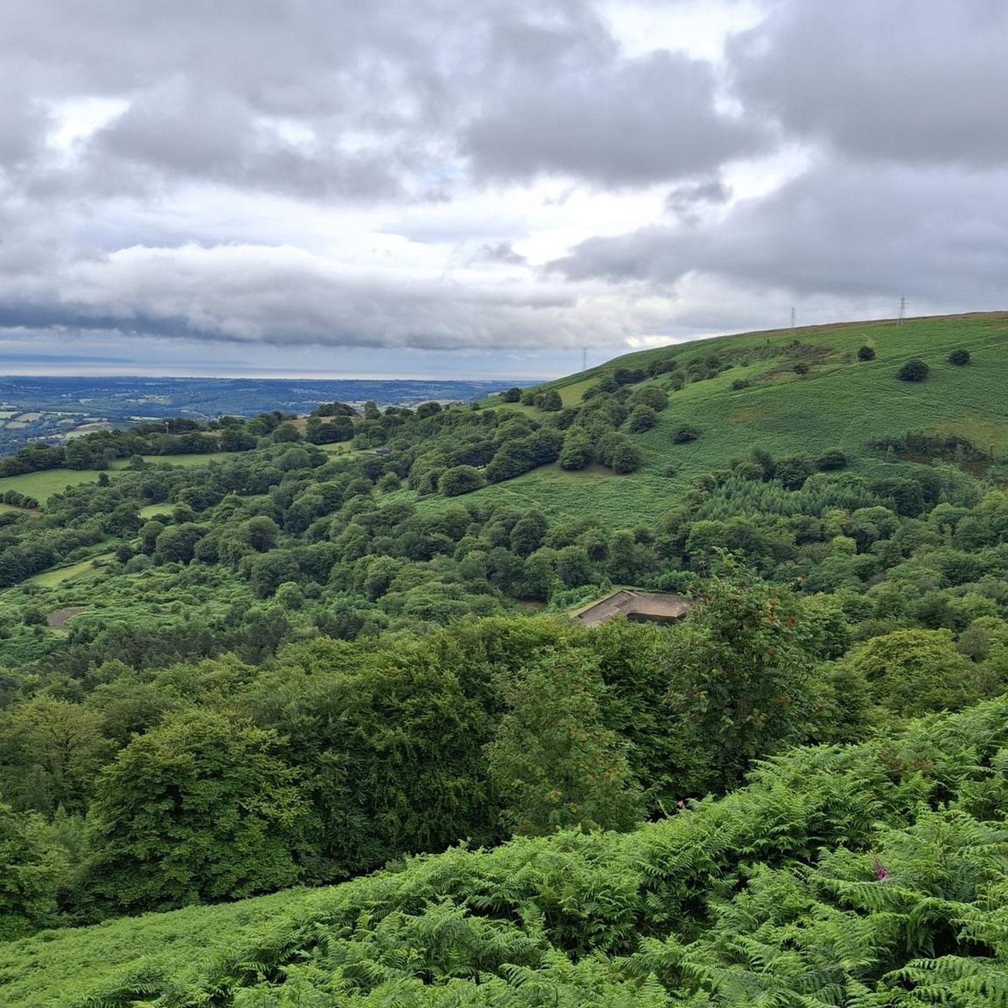
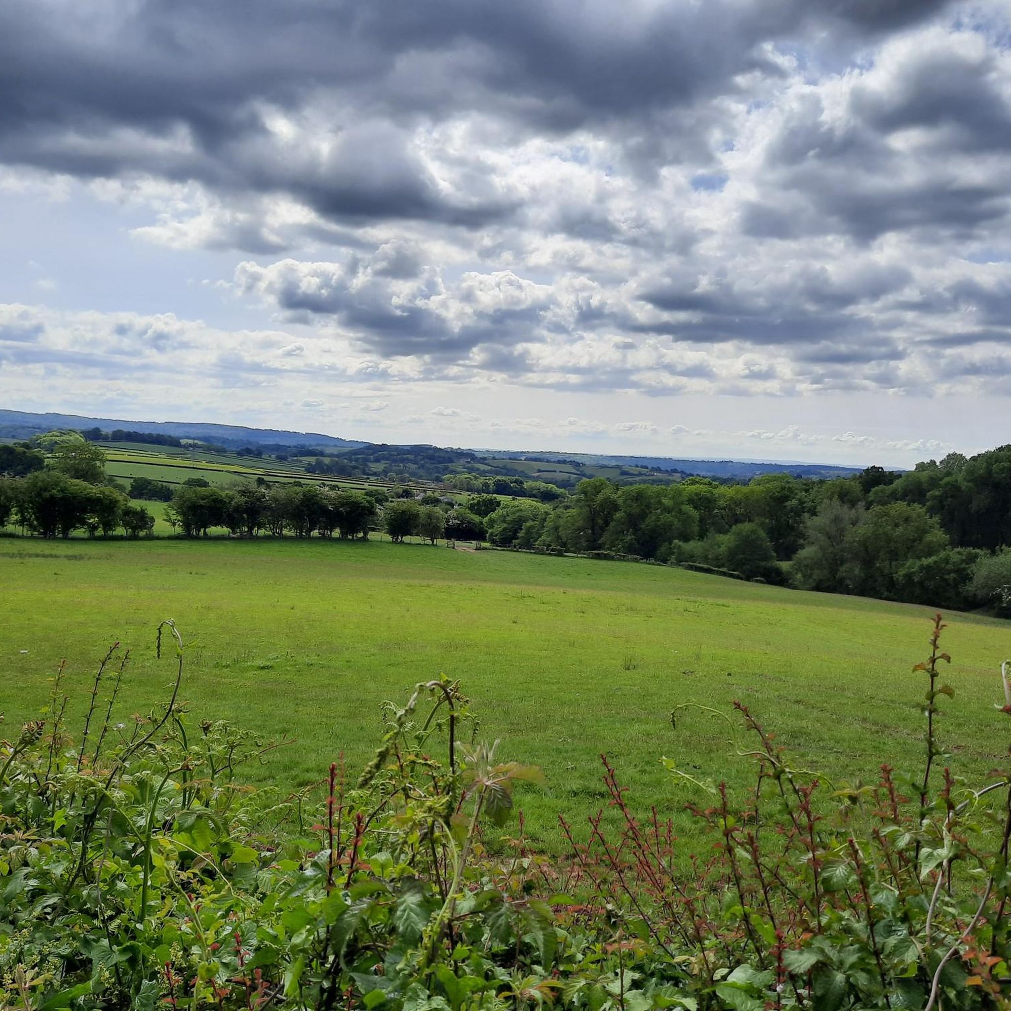
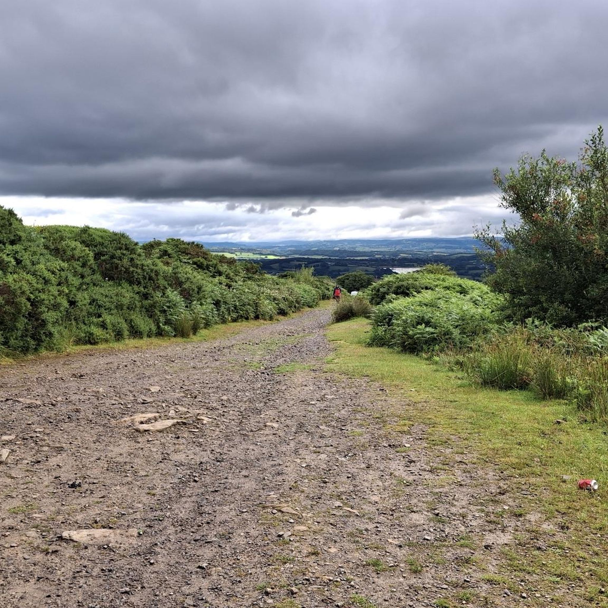
Gravel biking around Pontnewydd offers diverse landscapes in the Torfaen area of South Wales. The region features a mix of forest doubletracks, rocky moorland descents, and wide gravel tracks, many integrated into the National Cycle Network. Terrain often includes canal-side paths along the Monmouthshire and Brecon Canal and fire roads within areas like Cwmcarn Forest. Twmbarlwm Hill, at 1,375 feet (419 m), provides a significant landmark and elevation for challenging climbs and rewarding views.
Best gravel bike trails around Pontnewydd
…Last updated: July 2, 2026
4.2
(5)
44
riders
Hard gravel ride. Very good fitness required. Mostly paved surfaces. Suitable for all skill levels.
5.0
(1)
5
riders
34.0km
02:32
670m
670m
Hard gravel ride. Very good fitness required. Mostly paved surfaces. Suitable for all skill levels.

Sign up for free
3
riders
77.7km
05:07
920m
920m
Hard gravel ride. Very good fitness required. Mostly paved surfaces. Suitable for all skill levels.
5
riders
33.8km
02:22
460m
460m
Hard gravel ride. Very good fitness required. Mostly paved surfaces. Suitable for all skill levels.
Our route recommendations are based on thousands of hikes, rides, and runs completed by other people on komoot.
Start today with a free account
Your next adventure awaits.
Login or Signup
Tips from the Community


It's a beautiful canal but what is amazing is that it runs all the way to Brecon
0
0

Great cruise down into Abergavenny for coffee!
0
0


evidence of railway platforms and steps to the platforms still exist
0
0
Frequently Asked Questions
What kind of terrain can I expect on gravel bike trails around Pontnewydd?
The Pontnewydd area offers a diverse range of terrain for gravel biking. You'll find forest doubletracks, rocky moorland descents, and wide gravel tracks, many of which are integrated into the National Cycle Network. Canal-side paths, particularly along the Monmouthshire and Brecon Canal, are also a prominent feature. The Welsh gravel roads are often rocky rather than muddy, making them suitable for year-round riding.
Are there any easy or beginner-friendly gravel routes in Pontnewydd?
While many of the routes in the Pontnewydd area are considered difficult, sections of trails like the Afon Lwyd Trail or the Monmouthshire and Brecon Canal offer more gentle, accessible paths. For a relaxed outdoor experience, consider areas like Branches Fork Meadows, which features gently sloping terrain and access to the NCN 492 cycleway. However, most dedicated gravel routes in the guide are challenging.
What are some of the longer gravel biking routes available near Pontnewydd?
For a longer ride, consider the Monmouthshire Canal Lock – Monmouthshire and Brecon Canal loop from Newport, which spans 81.4 miles (131.0 km) and typically takes around 9 hours 35 minutes to complete. This route leads through the historic canal network, offering varied terrain.
Are there any circular gravel bike routes around Pontnewydd?
Yes, several routes are designed as loops. For example, the Pontymoile Basin – Llanelly Quarry Limekilns loop from Pontypool and New Inn is a 33.1-mile (53.3 km) circular trail connecting historical industrial sites with diverse gravel sections. Another option is the Monmouth and Brecon Canal – Monmouthshire Canal Lock loop from Rogerstone, a 54.1-mile (87.0 km) loop following tranquil canal paths.
What historical sites or natural landmarks can I see along the gravel trails?
Many routes incorporate historical and natural features. You can encounter the Monmouthshire and Brecon Canal, a significant environmental and historical waterway. Some trails offer views of Twmbarlwm Hill and its Iron Age hillfort, a prominent landmark with expansive views. You might also pass by the Mynydd Machen Summit or the Trig point at Mynydd Twyn-glas summit, offering scenic viewpoints.
Are there specific areas known for good gravel biking near Cwmbran or Pontypool?
Yes, the broader Torfaen area, including Cwmbran and Pontypool, is rich in gravel biking opportunities. Routes like the Pontymoile Basin – Llanelly Quarry Limekilns loop from Pontypool and New Inn are popular. Cwmcarn Forest, while known for mountain biking, also features fire roads suitable for gravel rides that can be integrated into routes.
What is the best time of year to go gravel biking in Pontnewydd?
The region's gravel roads are characteristically rocky rather than muddy, which often allows for year-round riding. However, spring and autumn typically offer pleasant temperatures and vibrant scenery, making them ideal. Winter riding is possible, but be prepared for cooler, potentially wetter conditions.
Where can I find parking for gravel bike trails in the Pontnewydd area?
Specific parking information varies by trailhead. Many routes start from towns like Pontypool, Rogerstone, or Newport, where public parking facilities are available. For routes accessing areas like Cwmcarn Forest or the Monmouthshire and Brecon Canal, dedicated car parks are often provided near popular access points. It's advisable to check the starting point of your chosen route for precise parking details.
What do other gravel bikers enjoy most about the trails in Pontnewydd?
The area is highly rated by the komoot community, with an average score of 4.6 stars from over 10 reviews. Reviewers often praise the diverse landscapes, the mix of forest doubletracks and canal-side paths, and the challenging nature of many routes. The historical features and scenic viewpoints, such as those from Twmbarlwm Hill, are also frequently highlighted.
Are there any routes that follow disused railway lines or canal towpaths?
Yes, the region makes excellent use of its industrial heritage for cycling. The Monmouthshire and Brecon Canal offers extensive canal-side paths that are integral to many gravel biking routes. While not explicitly disused railway lines, these canal paths provide flat, scenic, and traffic-free sections ideal for gravel biking.
How many gravel bike trails are there in the Pontnewydd area?
There are at least 7 distinct gravel bike routes detailed in this guide for the Pontnewydd area, offering a variety of distances and challenges for riders.
Can I find routes that offer good viewpoints or scenic vistas?
Absolutely. The region is known for its scenic beauty. Routes that ascend to higher ground, such as those near Twmbarlwm Hill, provide expansive views over the Severn Estuary and the surrounding Welsh countryside. The canal paths also offer tranquil and picturesque scenery.
Most popular attractions around Pontnewydd

Get inspired with the komoot mobile app


Explore more
Browse the best Gravel rides in other regions.
