The best gravel rides around Corris
4.8
(17)
216
riders
15
rides
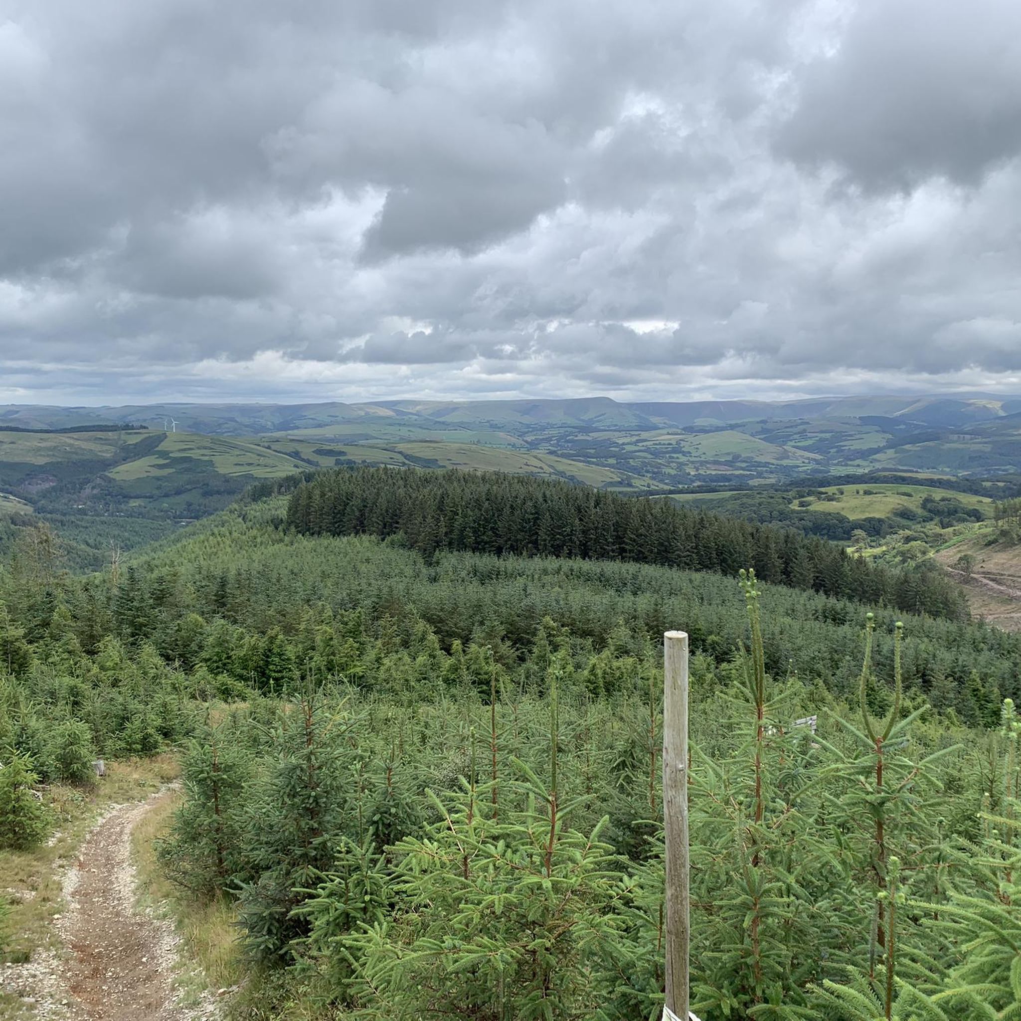
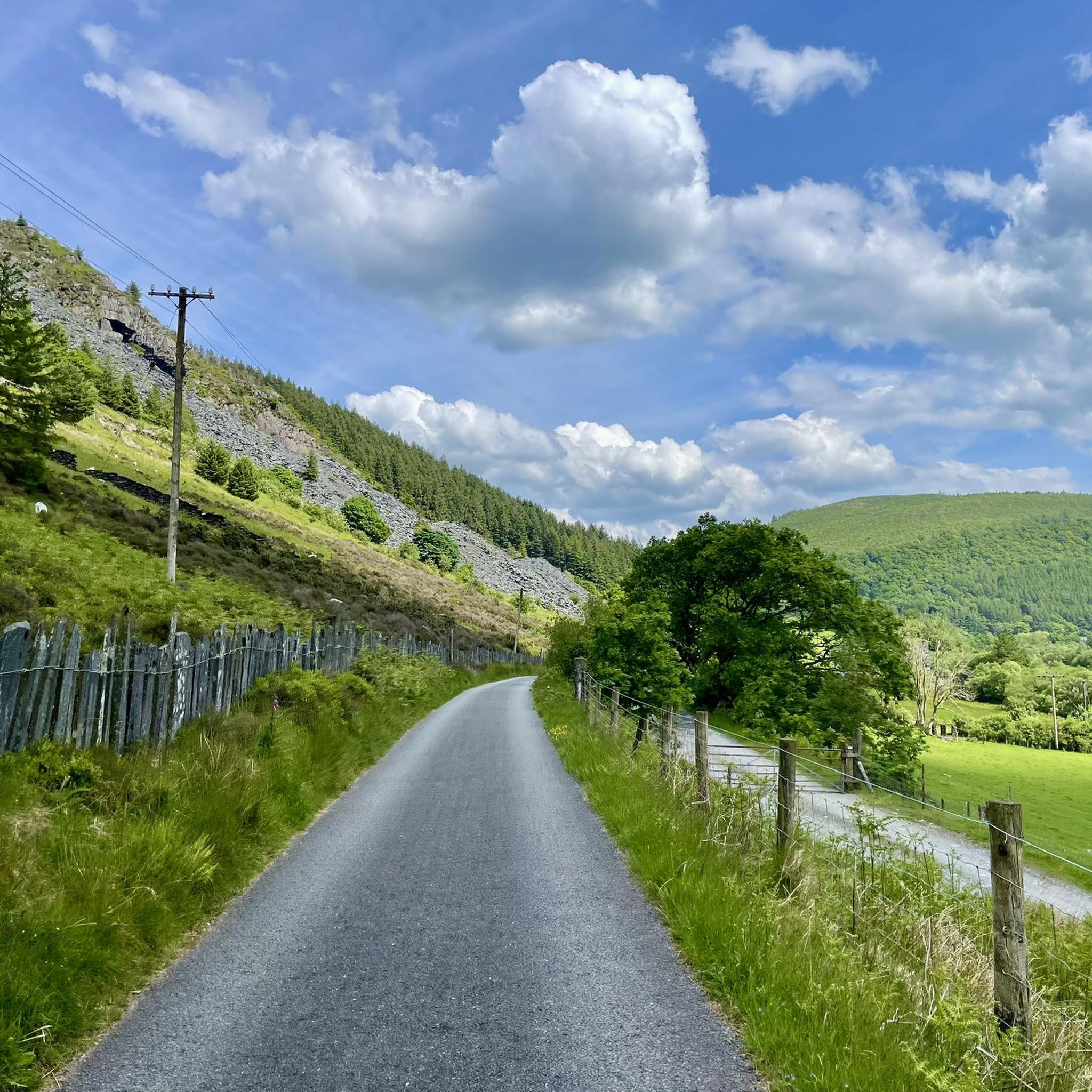
Gravel biking around Corris offers access to the rugged landscapes of the Cambrian Mountains in Mid Wales. The region features a mix of forest tracks, open mountain passes, and valley trails, providing varied terrain for gravel cyclists. Elevations range from gentle riverside paths to challenging climbs, characteristic of the Welsh uplands. The area is defined by its natural beauty and diverse unpaved routes.
Best gravel bike trails around Corris
- The most popular gravel bike trail is Nant y Moch loop…
Last updated: July 30, 2026
5.0
(1)
12
riders
48.8km
04:45
930m
930m
Embark on the Mach 1, 2, and 3 Loop, a difficult gravel biking adventure spanning 30.4 miles (48.8 km) with a significant 3067 feet (935 metres) of elevation gain. This…
5.0
(1)
13
riders
51.4km
04:59
960m
960m
Embark on the Nant y Moch loop from Machynlleth, a difficult gravel biking adventure spanning 31.9 miles (51.4 km) with a significant 3164 feet (964 metres) of elevation gain. This…

Sign up for free
5.0
(3)
22
riders
15.1km
00:59
50m
50m
Easy gravel ride. Great for any fitness level. Mostly paved surfaces. Suitable for all skill levels.
5.0
(1)
43
riders
42.6km
03:40
970m
970m
Hard gravel ride. Very good fitness required. Mostly paved surfaces. Suitable for all skill levels.
5.0
(2)
15
riders
69.5km
05:09
1,490m
1,490m
Hard gravel ride. Very good fitness required. Mostly paved surfaces. Suitable for all skill levels.
Get access to more routes and recommendations from other explorers.
Sign up for free
Already have an account?
Our route recommendations are based on thousands of hikes, rides, and runs completed by other people on komoot.
Start today with a free account
Your next adventure awaits.
Login or Signup
Other adventures around Corris

Tips from the Community

The road to the Cregennan lakes is narrow and winding, you have to open and close a gate across the road yourself twice. At the end there is a reasonably large parking lot. Don't be put off by the access road and it is wonderful there!
0
0

The historic Dyfi Bridge (Pont ar Ddyfi) near Machynlleth dates back to 1805, following earlier timber and stone structures from 1533 and 1681. It served as the main A487 crossing until it was permanently closed to vehicles in February 2024 and replaced by a new £46 million modern viaduct upstream to prevent frequent flood closures.
0
0

If you smile sweetly you don’t have to pay. There are also public toilets just after this.
0
0

First, a somewhat adventurous ride on the single track to the parking lot, which costs £5. The easy loop around the lake is very beautiful and relaxing – the sheep roam freely, but they keep their distance. Dogs must be on a leash, of course, but that's not a problem. Enjoy it – and if you're up for more, go for a longer loop. There are a few tables and benches above the parking lot for your picnic. You won't find any litter baskets, so you'll have to take them with you – which is perfectly fine, as it's a nature reserve. Highly recommended.
0
0

Card payments are accepted. The bridge is open to cyclists and walkers 24/7. There is a slot for the toll in the door outside of operating hours.
0
0

A really fantastic chucks route. one for everyone's bucket list.
0
0

Nant y Moch Reservoir is a significant water reservoir located in the Cambrian Mountains of Wales, specifically in the county of Ceredigion. It was constructed in the late 20th century and is primarily used for water supply. The reservoir is situated near the village of Llanidloes and is part of the larger infrastructure managed by Welsh Water. The area surrounding Nant y Moch Reservoir is known for its natural beauty, featuring rolling hills, moorland, and diverse wildlife. It is a popular destination for outdoor activities such as walking, birdwatching, and fishing. The reservoir itself is also used for recreational purposes, and there are walking trails around its perimeter that offer stunning views of the water and the surrounding landscape. In terms of ecology, the reservoir and its surroundings support various plant and animal species, making it an important area for conservation as well as recreation. The combination of natural beauty and recreational opportunities makes Nant y Moch a valued spot in the Welsh countryside.
0
0

They do take card payments so that’s been an update but it’s not open 24 hrs
0
0
Frequently Asked Questions
How many gravel bike trails are available around Corris?
There are over 15 gravel bike trails around Corris, offering a diverse range of experiences. The region features a mix of forest tracks, open mountain passes, and valley trails, catering to various skill levels.
Are there any easy gravel bike routes suitable for beginners or families in Corris?
Yes, Corris offers a few easier routes. The Mawddach Trail in Mid Wales from Dolgellau to Barmouth is a notable easy option, covering 15.1 km through the scenic Mawddach Estuary. It's relatively flat and well-suited for a relaxed ride.
What are some challenging gravel bike trails for experienced riders near Corris?
For experienced riders seeking a challenge, Corris has several difficult routes. The Nant y Moch loop from Machynlleth — Cambrian Mountains is a demanding 51.4 km trail with significant elevation gain. Another excellent option is the Mach 1, 2, and 3 Loop, which combines sections of renowned mountain bike trails adapted for gravel, offering varied surfaces and elevation changes over 48.8 km.
What kind of terrain can I expect on gravel bike trails in Corris?
Gravel biking around Corris is characterized by mountainous terrain, forest tracks, and valley paths. You'll encounter a mix of surfaces, from smooth gravel to rougher unpaved sections, reflecting the rugged landscapes of the Cambrian Mountains.
Are there any circular gravel bike routes around Corris?
Many of the gravel routes in Corris are designed as loops. For example, the Machynlleth Clock Tower – Tony the Tiger Trail loop from Machynlleth offers a 43.7 km circular ride. Another extensive loop is the Black Road Gravel Pass – Cregennan Lakes loop from Esgairgeiliog Ceinws, which is nearly 70 km long.
What are some interesting landmarks or natural attractions to see along the gravel bike routes?
The Corris area is rich in natural beauty. Many routes offer views of stunning lakes like Llyn Cau, Llyn Cynwch, and Cregennan Lakes. You might also encounter impressive viewpoints such as Penygadair summit, Cadair Idris, or the Mawddach Estuary Trail.
What do other gravel bikers enjoy most about the trails in Corris?
The gravel bike trails in Corris are highly rated by the komoot community, with an average score of 4.8 stars from over 15 reviews. Riders often praise the remote and scenic terrain, the variety of forest tracks and mountain passes, and the sense of adventure offered by the Welsh uplands.
Is Corris suitable for gravel biking in winter?
While some lower-elevation routes might be accessible, winter gravel biking in Corris can be challenging due to the mountainous terrain. Higher passes may be exposed to harsh weather, including snow and ice. It's advisable to check local weather forecasts and trail conditions thoroughly before heading out in winter, and consider routes at lower altitudes or those known to be well-maintained.
Are there any pubs or cafes along the gravel bike routes in Corris?
While many routes venture into remote areas, some trails pass through or near villages where you can find local pubs and cafes. For example, routes starting or ending in Machynlleth or Dolgellau will offer more options for refreshments. It's always a good idea to plan your route and check for amenities beforehand, especially on longer rides.
What should I wear for gravel biking in Corris?
Given the varied terrain and often unpredictable Welsh weather, layering is key. Waterproof and windproof outer layers are recommended, even in summer. Padded shorts, a helmet, gloves, and appropriate footwear are essential. For longer rides, consider carrying extra layers, a hat, and sun protection, as conditions can change rapidly in the mountains.
How can I access the gravel bike trails in Corris using public transport?
Machynlleth, a common starting point for many routes, has a train station on the Cambrian Line, connecting to Aberystwyth and Shrewsbury. Bus services also operate in the region, though they may be less frequent and bike carriage can be limited. Planning your route to start or end near public transport hubs like Machynlleth or Dolgellau will be most convenient.
Where can I park my car when gravel biking in Corris?
Parking is generally available in the main towns and villages that serve as trailheads, such as Machynlleth and Dolgellau. Many routes also have designated car parks at their starting points, particularly those accessing popular forest tracks or trail centers. Always check local signage for parking restrictions and fees.
Most popular attractions around Corris

Get inspired with the komoot mobile app


Explore more
Browse the best Gravel rides in other regions.
