The best gravel rides around Longframlington
4.7
(7)
41
riders
7
rides
Gravel biking around Longframlington offers access to the diverse landscapes of Northumberland's Coquetdale countryside. The region features rolling hills, winding woodland paths, and open moorland, providing varied terrain for gravel cyclists. Thrunton Woods presents hidden trails and viewpoints, while the Simonside Hills offer rugged landscapes and elevated perspectives. Proximity to Northumberland National Park ensures a network of trails with both challenging climbs and rewarding descents.
Best gravel bike trails around Longframlington
- The most popular gravel bike trail is Simonside Car…
Last updated: May 21, 2026
4.7
(3)
20
riders
Hard gravel ride. Very good fitness required. Mostly paved surfaces. Suitable for all skill levels.
10
riders
Moderate gravel ride. Good fitness required. Mostly paved surfaces. Suitable for all skill levels.

Sign up for free
6
riders
45.3km
03:04
660m
660m
Hard gravel ride. Very good fitness required. Mostly paved surfaces. Suitable for all skill levels.
2
riders
Moderate gravel ride. Good fitness required. Mostly paved surfaces. Suitable for all skill levels.
4.8
(4)
3
riders
53.0km
03:22
700m
700m
Hard gravel ride. Very good fitness required. Mostly paved surfaces. Suitable for all skill levels.
Get access to more routes and recommendations from other explorers.
Sign up for free
Already have an account?
Our route recommendations are based on thousands of hikes, rides, and runs completed by other people on komoot.
Start today with a free account
Your next adventure awaits.
Login or Signup
Tips from the Community


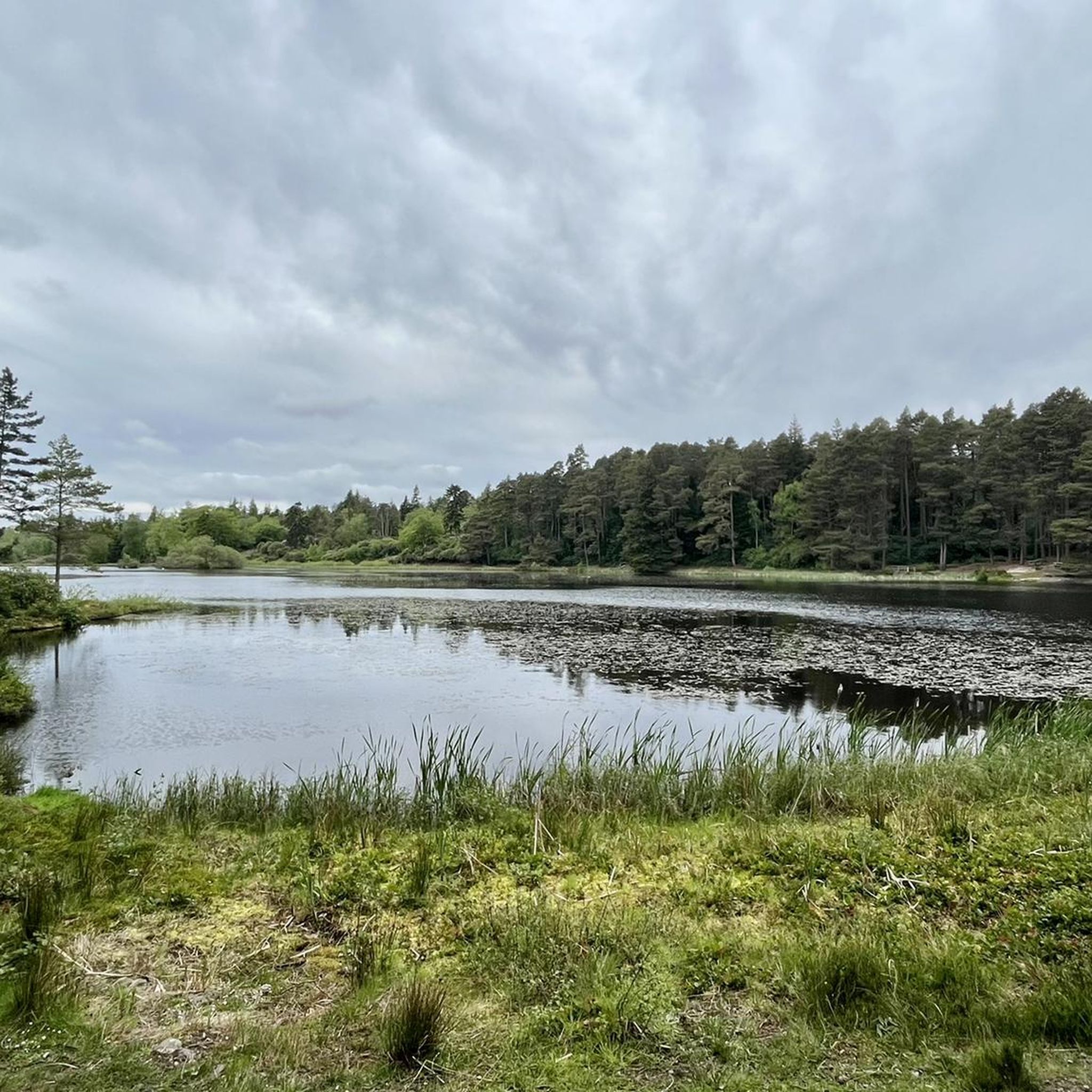
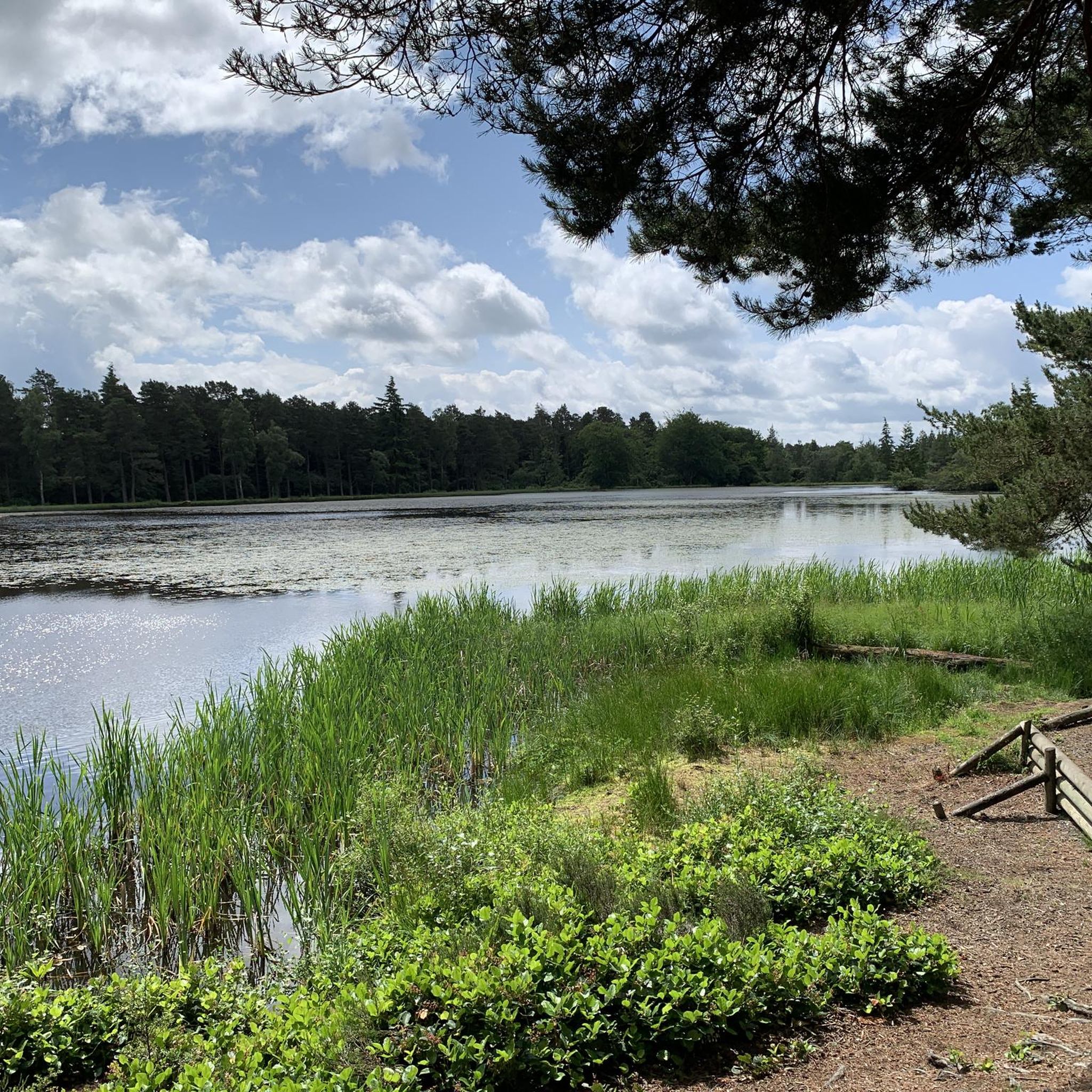
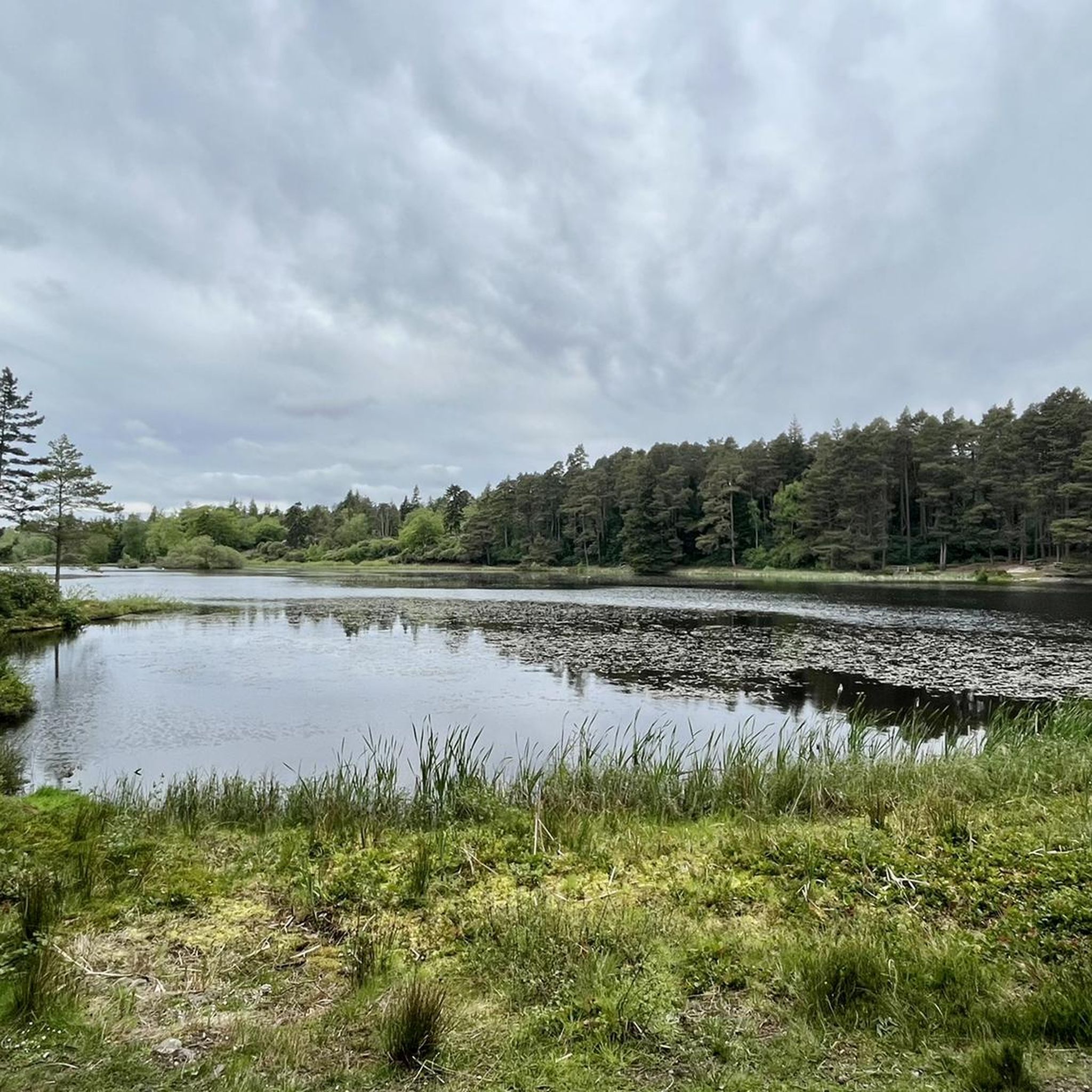
Good trails to ride on, great views on a sunny day. Can either include as part of a Rothbury/Simonside ride, or head over to Harwood Forest
0
0
Top of the Whitefield Trail. Tremendous descent down to Hepple. Some pretty lumpy gravel in places, finishes on a meadow track. Doable on a gravel bike I guess but wider tyres would make for a better ride
0
0
Classic Northumberland road climb, even if it does have a descent in it. Ramp near the start in Elsdon is the hardest bit. Get lucky with a tailwind and fly down eastwards past Harwood Forest
0
0
Pretty bleak place to meet your end. If on the road, can also be pretty bleak with a rainy headwind ! Tailwind when eastward bound though is great
0
0
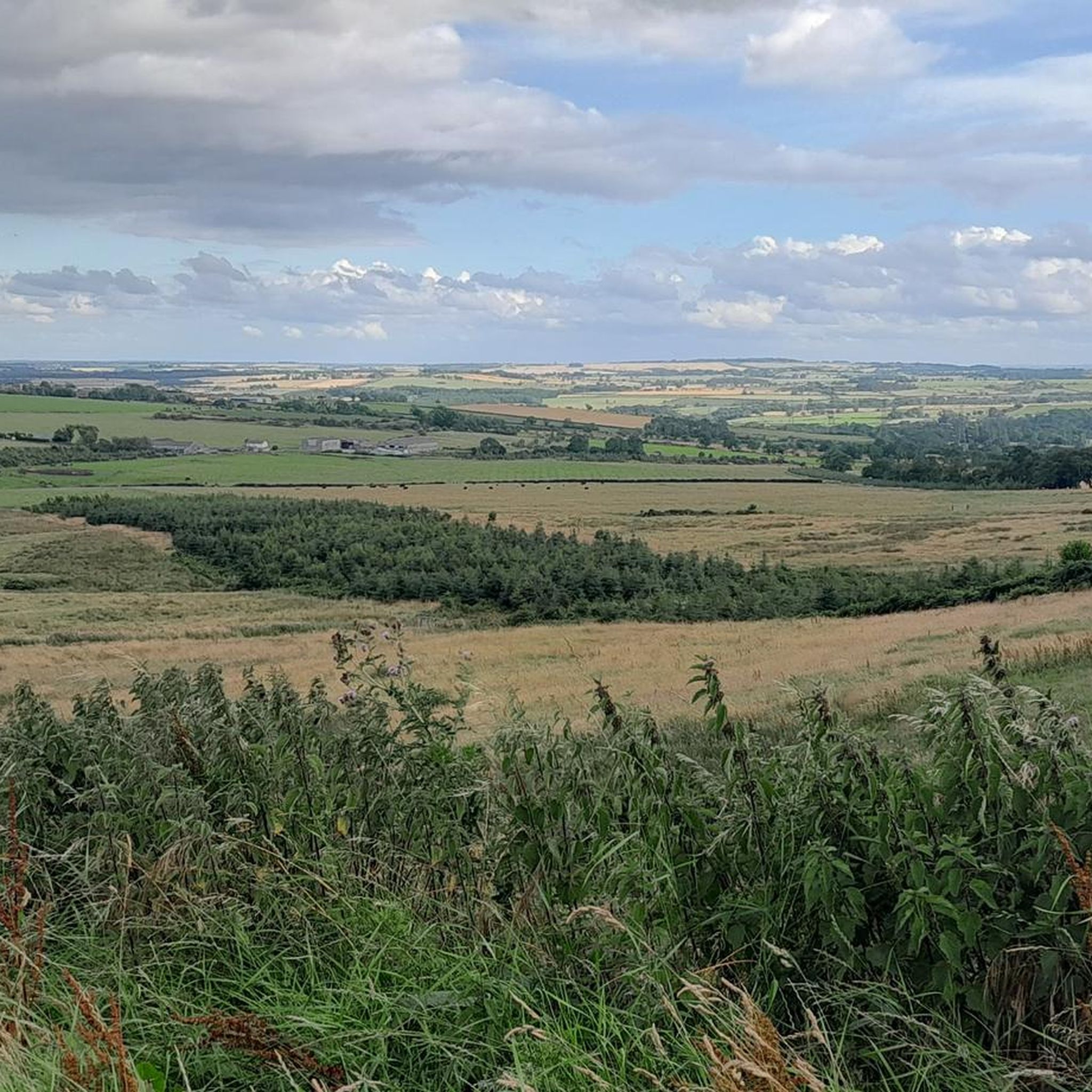
Lovely views to Simonside, mind the sheep, quite open if there's a headwind, or very speedy if a tail!
0
0

Tremendous descent, would be a tough climb in places
0
0
Frequently Asked Questions
How many gravel bike trails are available around Longframlington?
Longframlington and its surrounding area offer a selection of gravel bike trails. Currently, there are 7 routes documented, ranging from moderate to difficult, providing diverse options for exploration.
What kind of terrain can I expect on gravel bike trails near Longframlington?
The terrain around Longframlington is quite varied, reflecting Northumberland's diverse landscape. You'll encounter rolling hills, winding woodland paths, and open moorland. Routes often feature segments through areas like Thrunton Woods and the rugged Simonside Hills, offering a mix of forest tracks and more challenging unpaved sections.
Are there any easy gravel bike trails suitable for beginners or families?
While many routes in the area are rated moderate to difficult, some shorter, less challenging options exist. For a more accessible ride, consider the View of Thrunton Wood – Forest Gravel Path loop from Thrunton Trout Fishery. This moderate 7.2 km path leads through the woodlands of Thrunton, offering an engaging ride without extreme difficulty.
What are some longer gravel biking routes available near Longframlington?
For those seeking a longer challenge, the region offers several extensive routes. One option is the Viewpoint on Simonside Hills – Simonside Car Park loop from Longhorsley, which is a difficult 53.0 km trail through the rugged Simonside Hills. Another significant route is the Rothbury Village Centre – Winter's Gibbet loop from Rothbury, a difficult 45.3 km ride with substantial elevation gain.
Are there any circular gravel bike routes in the Longframlington area?
Yes, many of the gravel bike trails around Longframlington are designed as loops, allowing you to start and finish at the same point. Examples include the Simonside Car Park – Viewpoint on Simonside Hills loop from Whitton and Tosson, a 34.2 km difficult trail, and the shorter View of Thrunton Wood – Forest Gravel Path loop from Thrunton Trout Fishery.
What natural features or landmarks can I see along the gravel bike trails?
The trails often pass through or offer views of significant natural features. You can expect to see the dramatic Coquetdale countryside, the scenic River Coquet, and the expansive Thrunton Woods. Many routes also provide stunning vistas of the Cheviot Hills and the Northumbrian coastline from elevated points within the Simonside Hills. Specific highlights include the Simonside Summit and Simonside Crag.
Is Longframlington a dog-friendly area for gravel biking?
While specific trails may have local restrictions, the general countryside around Longframlington, including areas like Thrunton Woods and parts of the Northumberland National Park, is often welcoming to dogs. It's always advisable to keep dogs under control, especially near livestock, and to check local signage for any specific rules regarding pets on trails.
What is the best time of year to go gravel biking in Longframlington?
The diverse landscapes of Longframlington can be enjoyed throughout much of the year. Spring and autumn offer pleasant temperatures and beautiful scenery, with changing foliage. Summer provides longer daylight hours, though trails can be busier. Winter can be challenging due to weather conditions, but crisp, clear days can offer unique riding experiences. Always check local weather and trail conditions before heading out.
Are there places to stop for refreshments or cafes along the routes?
Longframlington itself has amenities, and some routes may pass through or near charming villages like Rothbury Village Centre, which offer cafes and pubs. Planning your route with potential stops in mind is recommended, especially for longer rides, as services can be sparse in more remote sections of the Coquetdale countryside or Simonside Hills.
What do other gravel bikers enjoy most about the trails in Longframlington?
The gravel biking routes around Longframlington are highly rated by the komoot community, with an average score of 4.8 stars. Reviewers often praise the varied terrain, from quiet woodlands to rugged moorland, and the stunning views, particularly from the Simonside Hills. The sense of exploring Northumberland's tranquil and picturesque countryside is a recurring highlight.
Is there public transport available to access gravel biking trails near Longframlington?
Public transport options directly to trailheads in rural Northumberland can be limited. While Longframlington itself has some bus services, accessing specific, more remote trail starting points often requires personal transport. It's recommended to check local bus schedules if you plan to rely on public transport, or consider starting routes from accessible villages.
Where can I find parking for gravel biking routes in Longframlington?
Many trailheads, especially those leading into areas like Thrunton Woods or the Simonside Hills, have designated parking areas. For example, routes often start from locations such as Simonside Car Park or near Thrunton Trout Fishery. In villages like Rothbury, there are also public car parks available. Always check for specific parking instructions or fees at your chosen starting point.
Most popular attractions around Longframlington

Get inspired with the komoot mobile app


Explore more
Browse the best Gravel rides in other regions.
