The best gravel rides around Muggleswick
4.3
(25)
276
riders
17
rides
Gravel biking around Muggleswick, located in County Durham, offers a diverse landscape for off-road cycling. The region features a network of paths and cycleways, often following former railway lines or river valleys. Terrain includes rolling hills, wooded sections, and open stretches, providing varied surfaces suitable for gravel bikes. This area is characterized by its rural setting, with routes connecting villages and offering views of the surrounding countryside.
Best gravel bike trails around Muggleswick
- The most popular gravel bike trail is…
Last updated: October 6, 2026
3.0
(4)
52
riders
43.4km
02:22
370m
370m
Moderate gravel ride. Good fitness required. Mostly paved surfaces. Suitable for all skill levels.
4.5
(2)
53
riders
56.2km
03:16
530m
530m
Hard gravel ride. Very good fitness required. Mostly paved surfaces. Suitable for all skill levels.

4.7
(3)
52
riders
57.9km
03:02
350m
350m
Moderate gravel ride. Good fitness required. Mostly paved surfaces. Suitable for all skill levels.
3.5
(2)
18
riders
68.5km
03:49
650m
650m
Hard gravel ride. Very good fitness required. Mostly paved surfaces. Suitable for all skill levels.
5.0
(1)
5
riders
40.6km
02:53
660m
660m
Hard gravel ride. Very good fitness required. Mostly paved surfaces. Suitable for all skill levels.
Get access to more routes and recommendations from other explorers.
Already have an account?
Our route recommendations are based on thousands of hikes, rides, and runs completed by other people on komoot.
Start today with a free account
Your next adventure awaits.
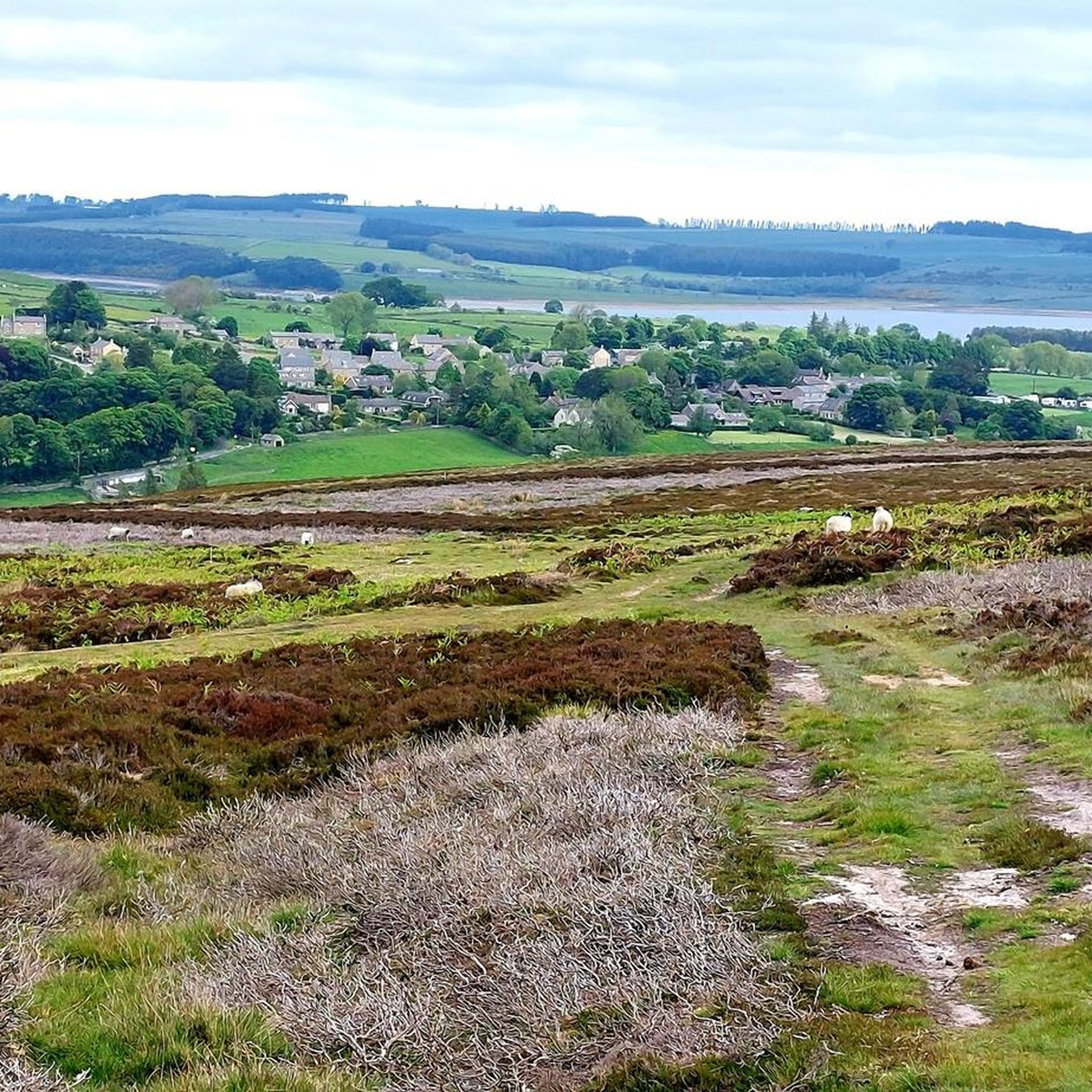
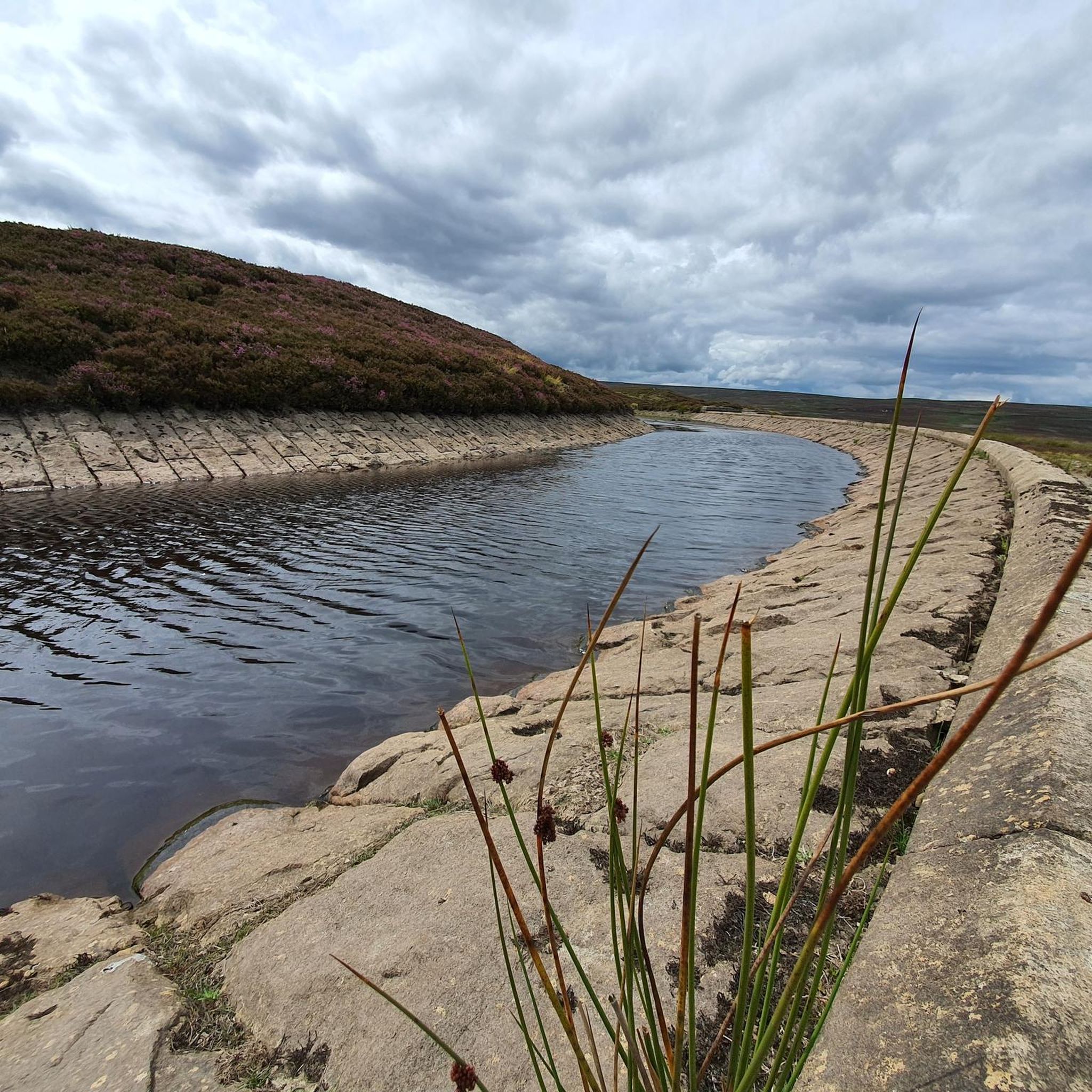
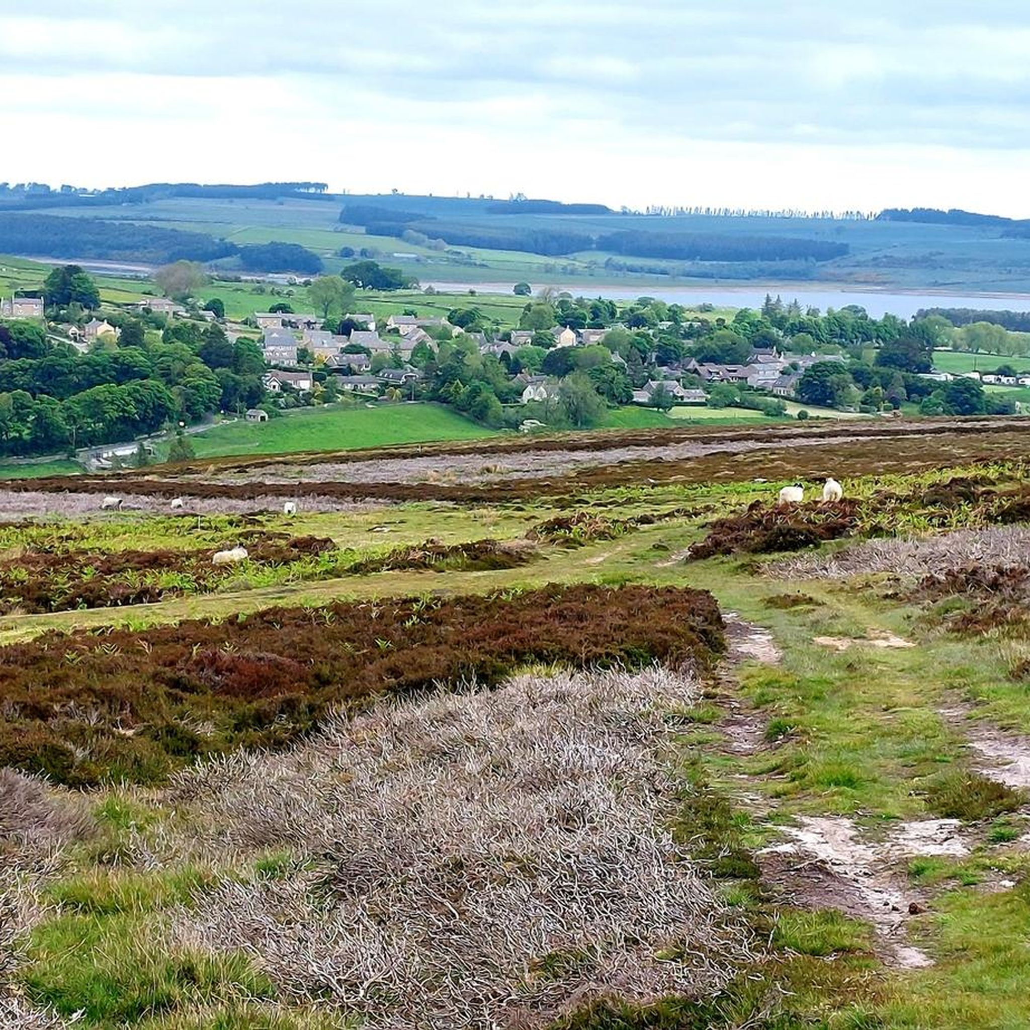
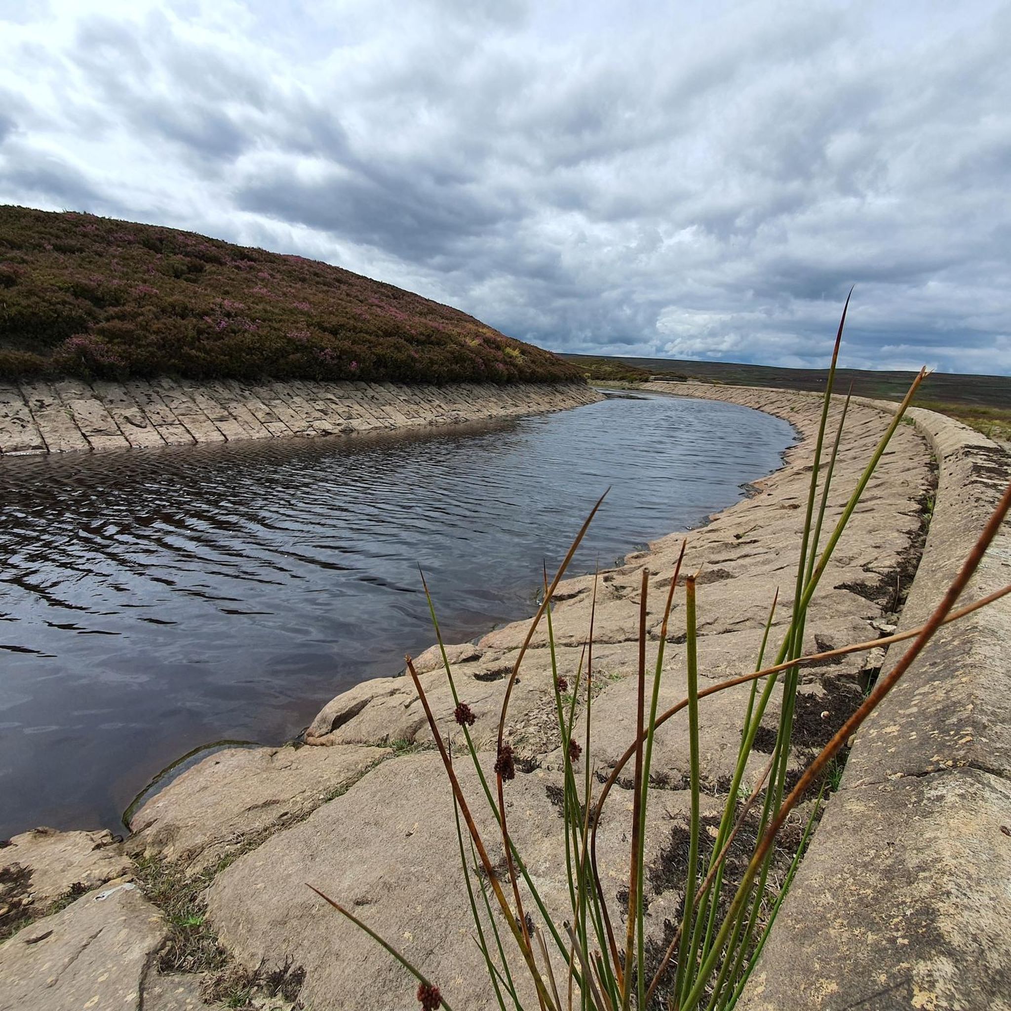
Tips from the Community

The viaduct, an impressive engineering landmark, spans a broad valley, providing scenic views across the tree canopy and down to the River Derwent below.
0
0


The Hagg Bank Bridge, also known as the Points Bridge or Half-Moon Bridge, is a Grade II* listed pedestrian bridge spanning the River Tyne at Wylam. It was originally built in 1876 as a railway bridge for the Scotswood, Newburn & Wylam Railway. W.G. Laws's design incorporated a 73-metre single rib arch with no piers in the river, an innovation at the time and likely inspiration for later bridges such as the Tyne Bridge and Sydney Harbour Bridge. Following the closure of the railway line in 1968, the bridge was reopened in 1975 as a walkway and cycle path linking Wylam with the Tyne Riverside Country Park.
8
0
Frequently Asked Questions
What kind of terrain can I expect on gravel bike trails around Muggleswick?
The Muggleswick area, situated in County Durham, offers a varied landscape for gravel biking. You'll encounter a network of paths and cycleways, often utilizing former railway lines or river valleys. The terrain includes rolling hills, wooded sections, and open stretches, providing diverse surfaces suitable for gravel bikes. It's a rural setting with routes connecting villages and offering views of the surrounding countryside.
Are there any easy or beginner-friendly gravel bike routes in Muggleswick?
While the guide primarily features moderate to difficult routes, the region's network of converted railway lines and river valley paths can offer sections suitable for less experienced riders. For a moderate option that explores scenic areas, consider the View of Lanchester Valley – Deerness path loop from Consett, which covers 27 miles with manageable elevation.
What are the most challenging gravel bike routes in the Muggleswick area?
For a more demanding ride, the Derwent Walk Express Sculpture – Derwent Walk loop from Medomsley is a difficult 34.1-mile route with significant elevation gain. Another challenging option is the Deerness path – View of Lanchester Valley loop from Medomsley, which spans over 42 miles and features substantial climbing.
Are there circular gravel bike routes available?
Yes, many of the gravel bike routes in Muggleswick are designed as loops. For example, the Derwent Walk – Wylam Bridge loop from Shotley Bridge is a 36-mile circular trail through the Derwent Valley. Another excellent loop is the Consett to Waskerley Cycleway – Edmundbyers loop from Rookhope, offering a challenging 25-mile circuit.
What kind of distances and elevations can I expect on gravel rides here?
Gravel rides around Muggleswick typically range from 25 to over 42 miles (40 to 68 km). Elevation gains vary significantly with the route's difficulty, from around 1,100 feet (340 meters) for moderate trails to over 2,200 feet (680 meters) for more difficult ones. This provides options for various fitness levels and preferences.
What attractions or scenic spots can I see along the gravel bike trails?
Many routes offer scenic views and pass by interesting landmarks. You might encounter the historic Hownsgill Viaduct, the expansive Waskerley Way, or the unique Terris Novalis Sculptures. The area also features natural beauty spots like Blanchland Moor.
When is the best time of year to go gravel biking in Muggleswick?
Spring and autumn generally offer the most pleasant conditions for gravel biking in Muggleswick, with milder temperatures and beautiful scenery. Summer can also be excellent, though trails might be busier. Winter rides are possible but be prepared for colder, potentially wet, and muddy conditions, especially on unpaved sections.
What do other gravel bikers enjoy most about the Muggleswick trails?
The gravel biking routes in Muggleswick are highly rated by the komoot community, with an average score of 4.5 stars from over 19 reviews. Riders often praise the varied terrain, the scenic views of the countryside, and the well-maintained paths that often follow converted railway lines, offering a unique cycling experience.
Are there options for parking near the gravel bike routes in Muggleswick?
While specific parking locations aren't detailed for every route, many trails start from towns or villages like Consett, Medomsley, or Shotley Bridge, where public parking facilities are typically available. It's advisable to check local parking options for your chosen starting point before your ride.
How many gravel bike routes are available in the Muggleswick area?
There are 19 gravel bike routes detailed for the Muggleswick area, offering a wide range of options for different skill levels and preferences. These routes have been explored by over 200 gravel bikers using komoot.
Can I find routes that include pub stops or places to refuel?
While specific pub stops are not explicitly listed in the route descriptions, many routes pass through or near villages and towns in the Muggleswick area. These settlements often have local pubs, cafes, or shops where you can refuel and take a break. Planning your route with a map can help identify such opportunities.
Most popular routes around Muggleswick
Most popular attractions around Muggleswick

Get inspired with the komoot mobile app


Explore more
Browse the best Gravel rides in other regions.
