The best gravel rides around Sherburn
7
riders
5
rides
Gravel bike trails around Sherburn offer diverse terrain suitable for mixed-surface cycling, blending paved roads with off-road tracks and trails. The region features varied landscapes, including forest roads, moorland paths, and valley routes. Riders can expect a mix of challenging climbs and picturesque trails, traversing areas characterized by gritstone and remote moorland. This environment provides a range of gravel biking experiences for different fitness levels.
Best gravel bike trails around Sherburn
- The most popular gravel bike trail is Mill Lane,…
Last updated: July 2, 2026
2
riders
15.1km
01:00
180m
180m
Moderate gravel ride. Good fitness required. Mostly paved surfaces. Suitable for all skill levels.
2
riders
18.8km
01:10
240m
240m
Moderate gravel ride. Good fitness required. Mostly paved surfaces. Suitable for all skill levels.

Sign up for free
1
riders
37.4km
02:26
400m
400m
Moderate gravel ride. Good fitness required. Mostly paved surfaces. Suitable for all skill levels.
1
riders
56.4km
03:39
680m
680m
Hard gravel ride. Very good fitness required. Mostly paved surfaces. Suitable for all skill levels.
1
riders
19.1km
01:10
210m
210m
Moderate gravel ride. Good fitness required. Mostly paved surfaces. Suitable for all skill levels.
Our route recommendations are based on thousands of hikes, rides, and runs completed by other people on komoot.
Start today with a free account
Your next adventure awaits.
Login or Signup
Tips from the Community

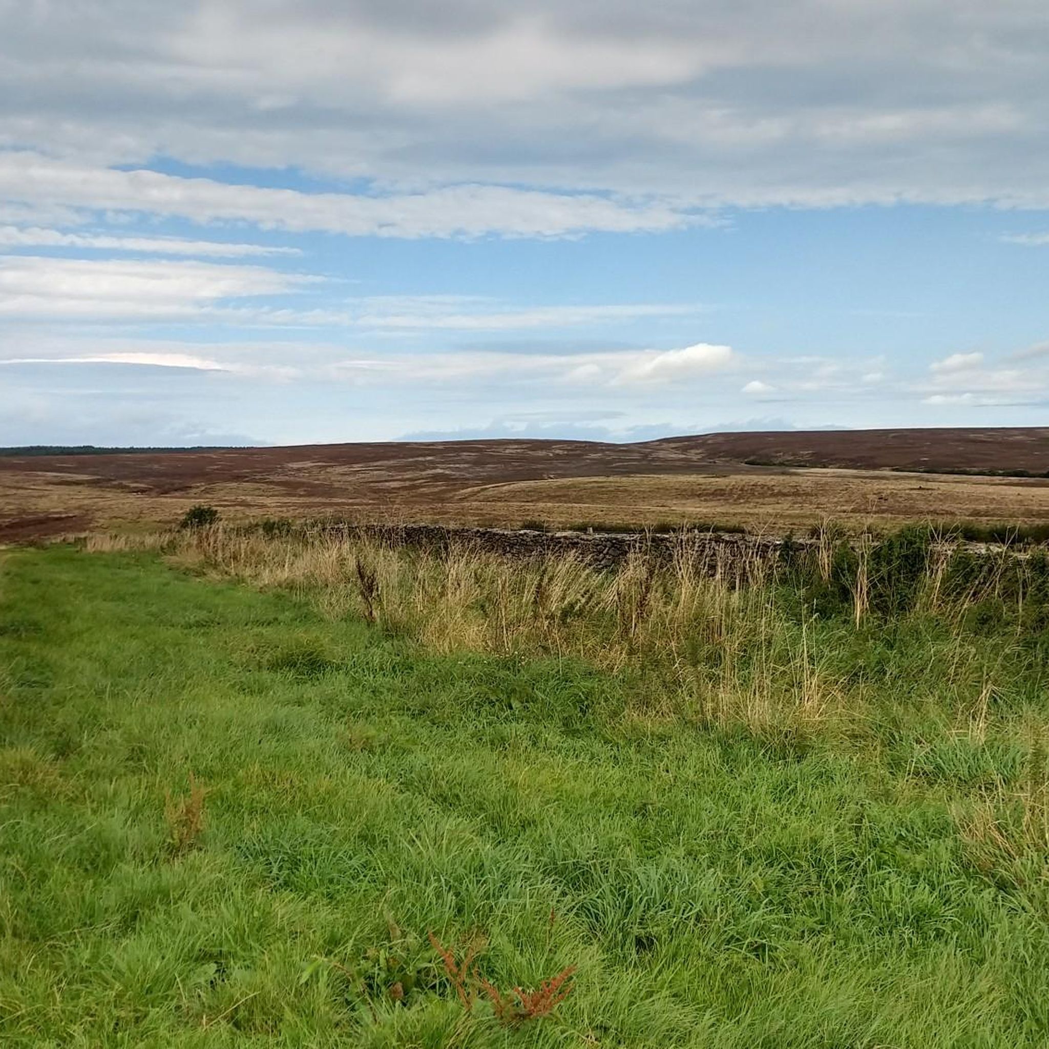
Super open view of the Yorkshire landscape.
0
0
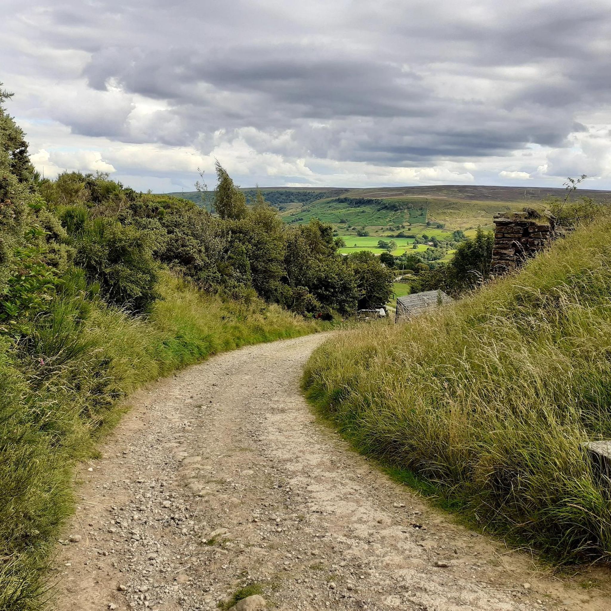
Just keep turnning the cranks and you will make it to the top. Ha,ha.
0
0


When I was around a couple of times, it smelled very bad in the area 😖
0
0


As I approached this location I could see building workers building what I though was a mosque, I said to them that is is a bizarre place to build such a building, they did not reply. Then as you ride past there are loads of religious statues, which I thought was a cemetery, but it is not a cemetery. It is religious whatever the site is
0
0
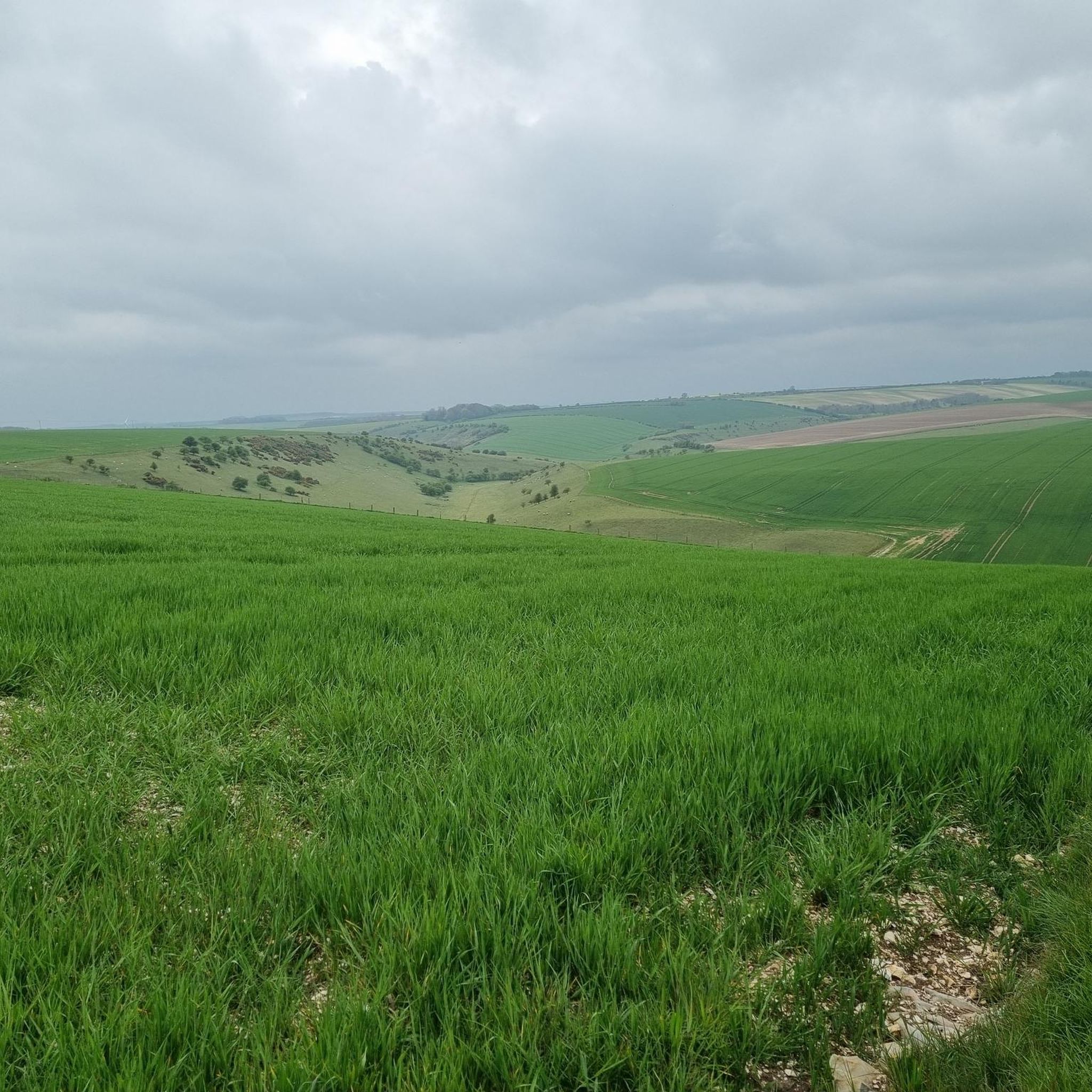
The shape of the land can be seen clearly here. Nice sections to ride through with good views of the countryside
0
0
Frequently Asked Questions
What kind of terrain can I expect on gravel bike trails around Sherburn?
Gravel biking around Sherburn offers a diverse mix of terrain. You'll find routes blending paved roads with off-road tracks and trails, including forest roads, moorland paths, and valley routes. The wider region, encompassing areas like the North York Moors, features rocky terrain, gritstone areas, and wild, remote moorland, providing varied conditions for mixed-surface cycling.
Are there gravel bike routes suitable for beginners in Sherburn?
While many routes around Sherburn are classified as moderate, the region offers options for various fitness levels. For instance, the Mill Lane, East Ayton loop from East Ayton is a moderate 15.1 km trail that provides a good introduction to the local landscapes without extreme difficulty. The region's diverse terrain ensures there are paths that can be enjoyed by those with good fitness.
What are some longer gravel biking routes for experienced riders near Sherburn?
For experienced riders seeking a challenge, the broader region offers several demanding routes. The Waskerley Way loop from Durham, for example, is a challenging 79.7 km route with a significant 1,020m elevation gain. Another hard option is the Derwenthaugh Country Park Pond – Derwent Walk loop from Durham, covering approximately 93.7 km with 830m of elevation.
Are there any historical sites or viewpoints along the gravel trails?
Yes, several routes pass by interesting landmarks and offer scenic views. For example, the Ayton Castle Ruins – Highwood Brow Viewpoint loop from East Ayton features scenic views and passes by the historical Ayton Castle Ruins and the Highwood Brow Viewpoint. The wider North York Moors region also boasts iconic views like the Hole of Horcum.
Can I find circular gravel bike routes in the Sherburn area?
Yes, many of the gravel bike routes around Sherburn are designed as loops, offering convenient circular rides. Examples include the Hackness Village loop from East Ayton, which takes you through Hackness Village, and the Highwood Brow Viewpoint – Highwood Brow Viewpoint loop from Brompton.
What is the best time of year for gravel biking in Sherburn?
The diverse terrain around Sherburn makes it suitable for gravel biking across multiple seasons. Spring and summer offer pleasant conditions for exploring forest roads and moorland tracks. However, the region's varied surfaces mean that some paths might be more challenging in wet or winter conditions, requiring appropriate gear and skills.
Are there any family-friendly gravel biking options near Sherburn?
While specific family-friendly routes are not explicitly highlighted as 'easy' in the immediate Sherburn area, routes with mostly paved sections, such as parts of the Lanchester Valley Path – River Browney loop from Brasside Ponds SSSI (31.1 km, moderate), could be suitable for families with good fitness levels. Always check route details for surface types and elevation to ensure it matches your family's capabilities.
What are some notable attractions or points of interest near the gravel trails?
Beyond the trails themselves, the Sherburn area and its surroundings offer several points of interest. You can visit the historical St Peter’s Church, Wintringham, or explore the grand Sledmere House. Natural features like Scalby Beck and Sea Cut Walk also provide scenic detours.
How many gravel bike trails are available in the Sherburn area?
There are over 8 gravel bike trails documented around Sherburn, offering a range of experiences from moderate to difficult. These routes showcase the region's varied landscapes and mixed-surface cycling opportunities.
Are there any routes that pass through villages or offer amenities like cafes?
Yes, many routes in the wider region are designed to pass through moorland and valley villages, offering glimpses of local life. While specific cafes are not listed for every route, the focus on 'slow travel' in these areas means amenities like cafes and country pubs are often found along or near popular cycling routes, especially in the North York Moors National Park.
What is the difficulty level of gravel biking in Sherburn?
The gravel biking routes around Sherburn primarily range from moderate to difficult. Out of the documented routes, 7 are classified as moderate and 1 as difficult. This means riders can expect a good challenge with varied terrain and elevation changes, suitable for those with good to very good fitness levels.
Can I find routes with significant elevation gain for a challenging ride?
Absolutely. For those seeking significant elevation, the broader region provides challenging options. The Waskerley Way loop from Durham, for instance, features a substantial 1,020m elevation gain over its 79.7 km, making it ideal for riders looking for a strenuous workout.
Most popular attractions around Sherburn

Get inspired with the komoot mobile app


Explore more
Browse the best Gravel rides in other regions.
