The best gravel rides around Cropton
4.9
(5)
90
riders
11
rides
Gravel biking around Cropton offers access to a network of trails within the North York Moors National Park, Cropton Forest, and nearby Dalby Forest. The region features varied terrain, including extensive forest tracks, fire roads, and bridleways. Landscapes range from dense woodlands to open moorland, providing diverse surfaces and gradients for gravel cyclists. The area's topography includes hills and escarpments, contributing to varied elevation profiles on routes.
Best gravel bike trails around Cropton
- The most popular gravel bike trail is…
Last updated: October 6, 2026
22
riders
Hard gravel ride. Very good fitness required. Mostly paved surfaces. Suitable for all skill levels.
5.0
(1)
15
riders
22.0km
01:22
280m
280m
Moderate gravel ride. Good fitness required. Mostly paved surfaces. Suitable for all skill levels.

4.7
(3)
31
riders
37.5km
02:16
440m
440m
Moderate gravel ride. Good fitness required. Mostly paved surfaces. Suitable for all skill levels.
5.0
(1)
11
riders
45.7km
02:38
290m
290m
Moderate gravel ride. Good fitness required. Mostly paved surfaces. Suitable for all skill levels.
2
riders
23.3km
01:30
270m
270m
Moderate gravel ride. Good fitness required. Mostly paved surfaces. Suitable for all skill levels.
Get access to more routes and recommendations from other explorers.
Already have an account?
Our route recommendations are based on thousands of hikes, rides, and runs completed by other people on komoot.
Start today with a free account
Your next adventure awaits.
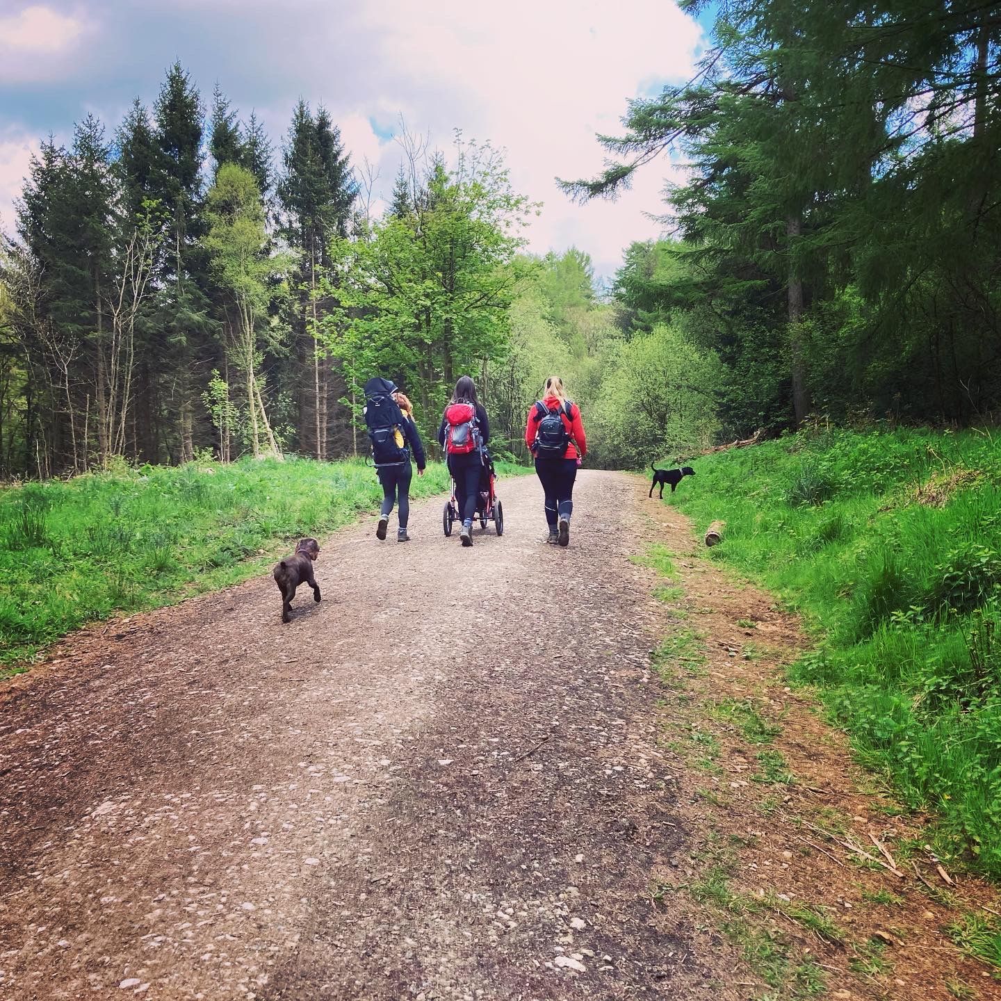
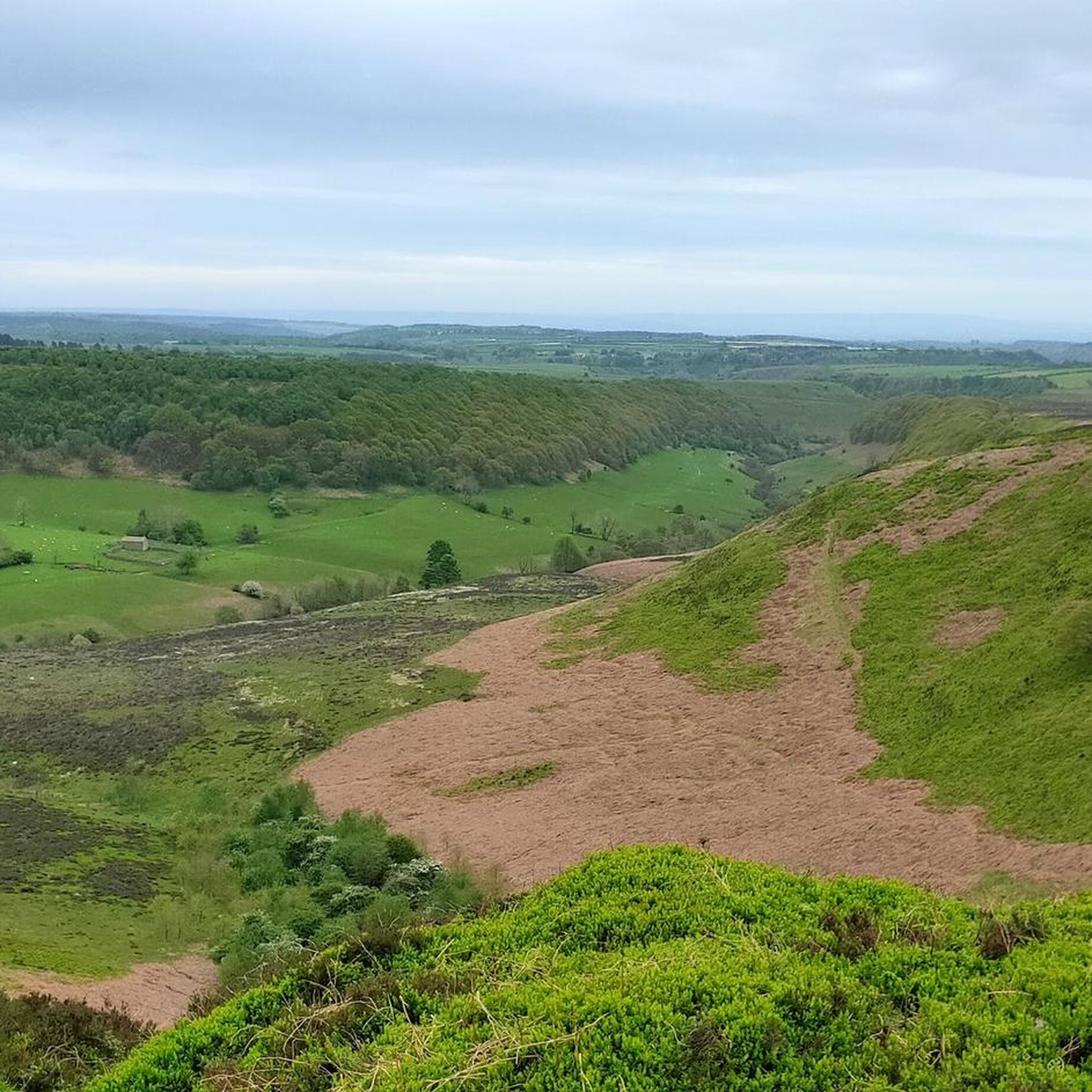
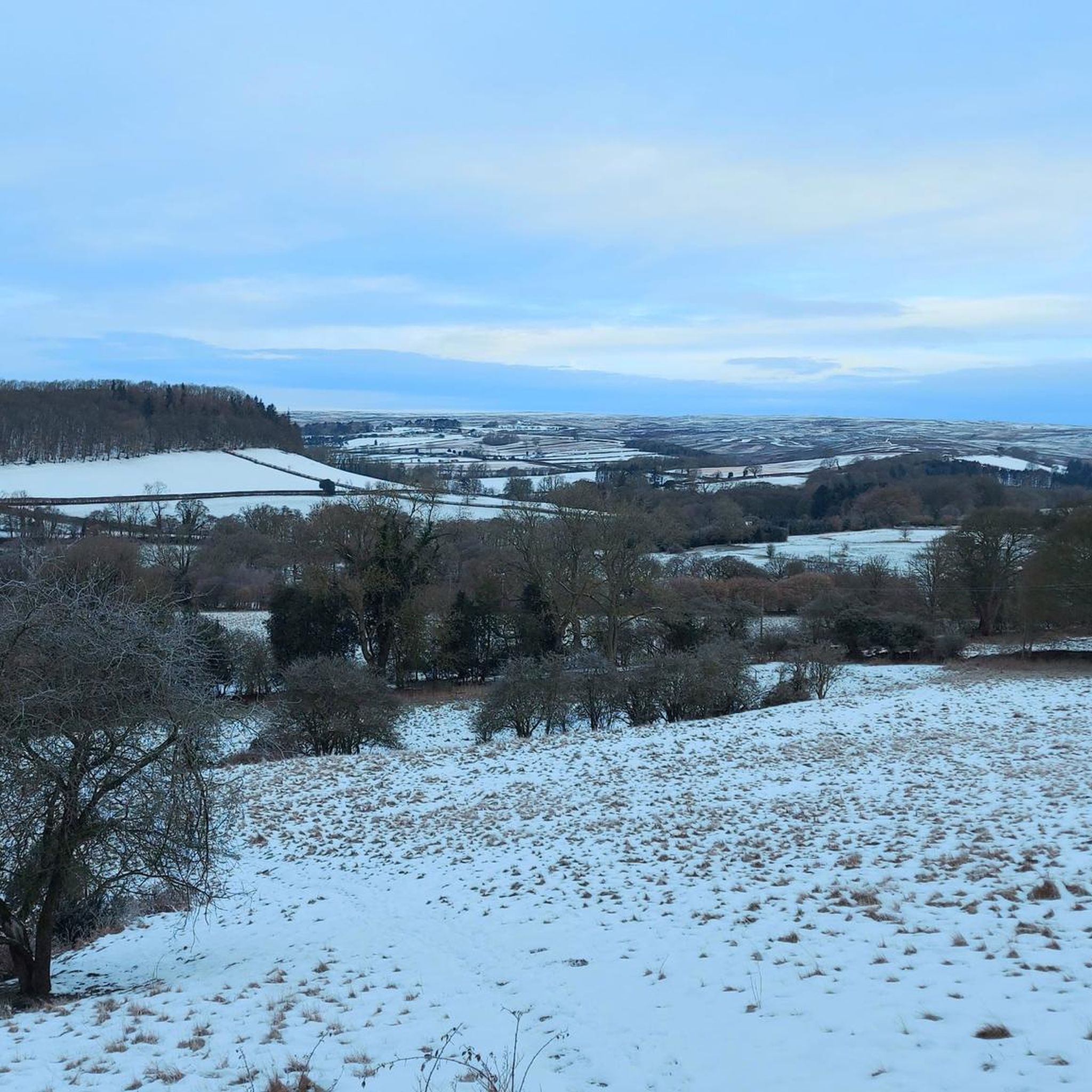
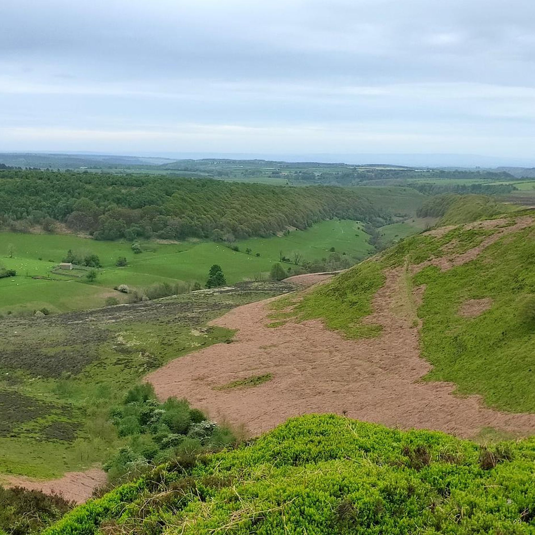
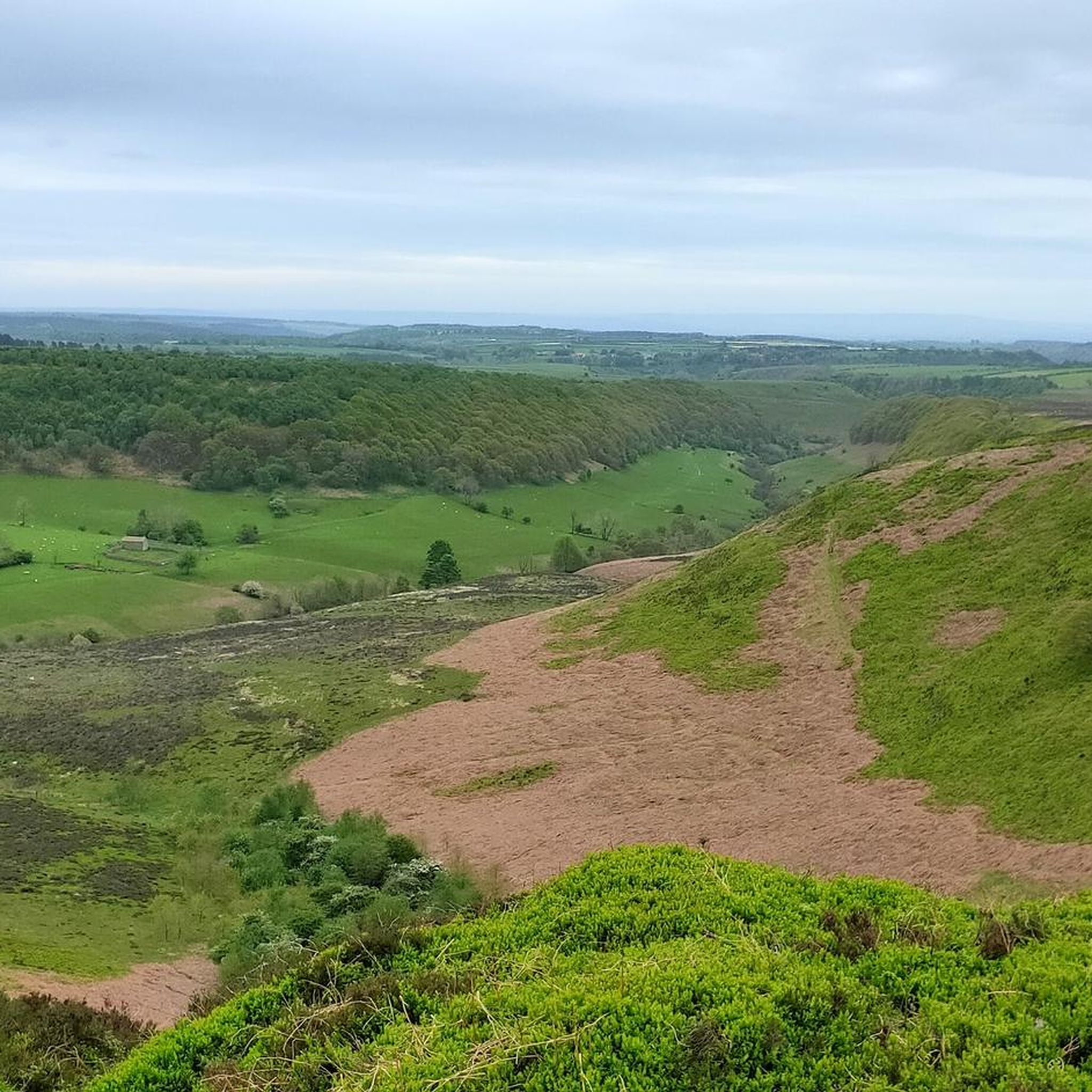
Other adventures around Cropton

Tips from the Community

Tough ride up to here and could be dangerous to go down, but fantastic views!
0
0

Apparently regarded by the Victorians as "ill-planned and untidy", but now quite possibly one the most picturesque Moors villages, Hutton-le-Hole is a very popular starting point for hikes. Fairly sizeable car park just on the eastern side of the village off the road to Lastingham. Lots more info available at https://en.wikipedia.org/wiki/Hutton-le-Hole, https://www.yorkshire.com/hutton-le-hole/?srsltid=AfmBOoqlQxZoMrKrxFTMhz3S7ZTijB3NKHNKMKO3WYru-vDGGmjNYk2Q, https://www.northyorkmoors.org.uk/places-to-go/hutton-le-hole-lastingham-appleton-le-moors
0
0

Graze on the Green cafe, excellent food
0
0

Cafe & bike shop both take card payments (and apple payments even if theres no signal). Great place to stop for a slice of cake, sandwich and a coffee. Or bike repairs if needed (and a bit of clothes shopping with all the latest brands there).
0
0

dalby forest mountain biking, cafe, walks, park bike hire, awesome mountain biking
0
0

The scenery is nice in this area. You can see for miles in many parts. This is a slightly elevated area, the wind is far more stronger as it is an exposed area
0
0
Sheriffs Pit is the location of an old iron mine. The views here are mint, you can see for miles through the valleys at the side of the double track
0
0
See the Landofiron.org.uk website for more engaging details on the Sheriff's Pit and other surviving elements of the Rosedale Mines and Railway.
0
0
Frequently Asked Questions
How many gravel bike trails are there in Cropton?
There are 14 gravel bike trails available around Cropton on komoot, offering a range of experiences from moderate to difficult. These routes are highly rated by the komoot community, with an average score of 4.75 stars.
What kind of terrain can I expect on gravel bike trails around Cropton?
The gravel bike trails around Cropton feature a diverse mix of terrain. You'll encounter extensive forest tracks and fire roads within Cropton Forest and nearby Dalby Forest, as well as bridleways. Routes also traverse open moorland and valleys within the North York Moors National Park, providing varied surfaces and gradients suitable for gravel biking.
Are there any challenging gravel bike routes in the Cropton area?
Yes, Cropton offers several challenging gravel bike routes. For instance, the Hutton-le-Hole village – Blakey Bank Summit loop from Hutton-le-Hole is rated as difficult and features significant elevation gain over its 23.5 miles (37.9 km). There are 4 difficult routes in total, providing options for experienced riders seeking a challenge.
Can I find family-friendly gravel biking options near Cropton?
While the komoot guide for Cropton focuses on moderate to difficult gravel routes, the wider area, particularly Dalby Forest, is known for its gentle family cycling trails. Cropton Forest also provides specific cycle paths that are more accessible for riders of different abilities, making it a good option for families.
Are there any notable landmarks or natural features to see along the gravel trails?
Yes, the region is rich in natural and historical landmarks. You could encounter the dramatic Mallyan Spout Waterfall, the tallest in the North York Moors. Historical sites like the Bank Top Iron Kilns offer a glimpse into the area's industrial past, and the Goathland railway station (famous from 'Harry Potter') is also nearby.
What are the options for circular gravel bike routes in Cropton?
Many of the gravel routes around Cropton are designed as loops, allowing you to start and finish in the same location. Examples include the Blakey Bank Summit – Rosedale Chimney Bank Climb loop from Rosedale, a moderate 13.6-mile path, and the Sheriff's Pit – Blakey Bank Summit loop from Hutton-le-Hole, which covers 23.2 miles through varied terrain.
Is Cropton Forest suitable for gravel biking in winter?
Gravel biking in Cropton Forest during winter is possible, but conditions can vary significantly. Forest tracks and fire roads may become muddy or icy, especially after rain or frost. Moorland sections can be exposed to harsh weather. It's advisable to check local weather forecasts and trail conditions before heading out and to be prepared with appropriate gear and clothing.
Where can I park my car when cycling in Cropton Forest?
Cropton Forest and the surrounding areas offer various parking options for cyclists. Specific car parks are available within Cropton Forest and Dalby Forest. Additionally, villages like Hutton-le-Hole, which serve as starting points for routes like the Hutton-le-Hole village – Blakey Bank Summit loop, often have designated parking facilities.
Are dogs allowed on the gravel bike trails around Cropton?
Many public bridleways and forest tracks in Cropton Forest and the North York Moors National Park are dog-friendly, provided dogs are kept under control, especially around livestock or wildlife. Always check specific trail regulations or signage, particularly in nature reserves or areas with ground-nesting birds, to ensure responsible cycling with your dog.
Are there any cafes or pubs near the gravel bike trails for a break?
Yes, the villages surrounding Cropton, such as Hutton-le-Hole and Rosedale, offer amenities including cafes and pubs where you can take a break. These spots are often conveniently located near popular starting points or along routes, providing opportunities for refreshments and meals during your ride.
What do other cyclists say about gravel biking in Cropton?
The gravel biking routes in Cropton are highly rated by the komoot community, with an average score of 4.75 stars from 6 reviews. Cyclists often praise the varied terrain, the extensive network of forest tracks, and the scenic views across the North York Moors, highlighting the diverse and rewarding experience the area offers.
How can I get to the Cropton area using public transport for cycling?
Public transport options to Cropton can be limited due to its rural location. While there might be local bus services connecting to larger towns like Pickering or Malton, direct routes into Cropton Forest are less common. It's advisable to check local bus timetables in advance, as services may not always accommodate bikes or provide direct access to trailheads.
Do I need any permits to cycle in Cropton Forest or the North York Moors?
Generally, you do not need specific permits for cycling on public bridleways and designated cycle paths within Cropton Forest or the North York Moors National Park. However, some areas, particularly within Dalby Forest, may have specific rules or require a parking fee. Always respect signage and local regulations.
What are the typical elevation gains on gravel routes around Cropton?
Gravel routes around Cropton feature varied elevation gains due to the region's topography, including hills and escarpments. For example, the Levisham Railway Station – Dalby Forest loop from Pickering, a difficult route, includes over 528 meters (1,732 feet) of ascent. Even moderate routes like the Blakey Bank Summit – View of Farndale loop from Rosedale Abbey can have around 285 meters (935 feet) of climbing.
Most popular routes around Cropton
Most popular attractions around Cropton

Get inspired with the komoot mobile app


Explore more
Browse the best Gravel rides in other regions.
