The best gravel rides around Melling-With-Wrayton
4.8
(5)
17
riders
4
rides
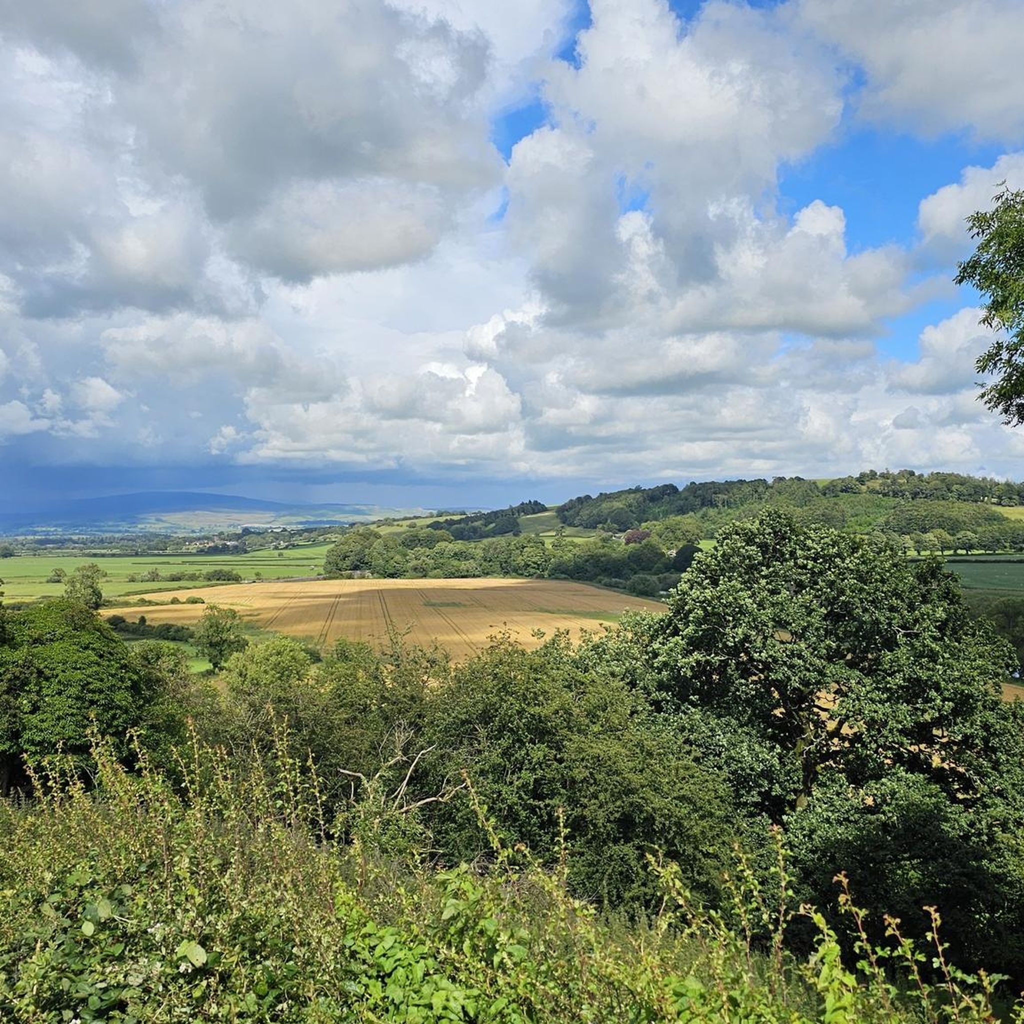
Gravel biking around Melling-With-Wrayton offers routes through varied terrain, characterized by rolling hills, open valleys, and sections of moorland. The region, situated near the Forest of Bowland and the Yorkshire Dales, features a mix of quiet country lanes, bridleways, and forest tracks suitable for gravel bikes. Elevations can be significant, with some routes including climbs over 1,000 meters.
Best gravel bike trails around Melling-With-Wrayton
- The most popular gravel bike trail is Ribblehead Viaduct – Ribblehead Viaduct loop from Ingleton,…
Last updated: May 22, 2026
4.8
(5)
10
riders
33.7km
02:11
500m
510m
Hard gravel ride. Very good fitness required. Mostly paved surfaces. Suitable for all skill levels.
4
riders
19.1km
01:33
420m
420m
Moderate gravel ride. Good fitness required. Mostly paved surfaces. Suitable for all skill levels.

Sign up for free
2
riders
83.5km
05:30
1,120m
1,120m
Hard gravel ride. Very good fitness required. Mostly paved surfaces. Suitable for all skill levels.
1
riders
Moderate gravel ride. Good fitness required. Mostly paved surfaces. Suitable for all skill levels.
Our route recommendations are based on thousands of hikes, rides, and runs completed by other people on komoot.
Start today with a free account
Your next adventure awaits.
Login or Signup
Tips from the Community

A great spot to catch your breath before continuing the climb.
0
0
Another big climb! The road is nice and quiet with good chances to see oncoming traffic so you can use the space if you need to
0
0

Bridleway that overlooks lovely farm + countryside area
0
0

Large rocks anda terrible ride unless you’re on an MTB, this isn’t fun if you really ride gravel and aren’t on a Leccy bike. Be warned, maybe someone has decided to add shale and rocks to make it un rideable.
0
0


Sulber gate is the view point over Moughton scar . Great photo opportunity
0
0

the gate is blcked with boulders/barbed wire, only route is over the high ladder stile - tricky with normal bike - impossible with an eMTB
0
0
Frequently Asked Questions
What is the general terrain like for gravel biking around Melling-With-Wrayton?
The region offers varied terrain, including rolling hills, open valleys, and sections of moorland. You'll find a mix of quiet country lanes, bridleways, and forest tracks. Be prepared for significant elevation changes on some routes, with climbs potentially exceeding 1,000 meters.
Are there gravel bike routes suitable for beginners in Melling-With-Wrayton?
While many routes feature significant elevation, there are options for moderate difficulty. For example, the Kingsdale Valley Road – Kingsdale Valley loop from Ingleton is a moderate 11.9-mile (19.1 km) path that explores the valley with a mix of road and off-road surfaces, making it a good choice for those looking for a less strenuous ride.
What kind of views can I expect on gravel bike trails in this area?
Gravel biking around Melling-With-Wrayton is known for its open valleys, expansive moorland sections, and views of wind farms. You'll also encounter scenic landscapes near the Forest of Bowland and the Yorkshire Dales.
Are there any circular gravel bike routes available?
Yes, many of the gravel bike routes in the area are designed as loops. For instance, the Ribblehead Viaduct – Ribblehead Viaduct loop from Ingleton is a challenging 20.9-mile (33.7 km) circular route offering views of the historic viaduct. Another option is the Kingsdale Valley Road – Kingsdale Valley loop from Ingleton.
What are some notable natural attractions or landmarks I can see along the trails?
The area is rich in natural beauty. You might encounter stunning waterfalls like Thornton Force waterfall, Hollybush Spout Waterfall, and Beezley Falls. There are also impressive viewpoints such as Pecca Falls and various summits like Gragareth Trig Point and Summerhouse Hill summit.
How long do gravel bike rides typically take in Melling-With-Wrayton?
Ride durations vary significantly based on the route's length and difficulty. Shorter, moderate routes like the Kingsdale Valley loop can take around 1 hour 30 minutes. Longer, more challenging rides, such as The 8 – Swoopy Section – View of the Forest of Bowland loop from Cowan Bridge, can take over 6 hours due to their distance and elevation.
What is the best time of year for gravel biking around Melling-With-Wrayton?
The region is enjoyable for gravel biking throughout much of the year. Spring and autumn offer pleasant temperatures and vibrant scenery. Summer provides longer daylight hours, while winter rides can be challenging due to weather conditions but offer a unique, rugged experience. Always check local weather forecasts before heading out, especially for higher elevations and moorland sections.
Are there any advanced or challenging gravel bike trails in the area?
Yes, Melling-With-Wrayton offers several difficult routes for experienced gravel bikers. The Ribblehead Viaduct – Ribblehead Viaduct loop from Ingleton is a difficult 20.9-mile (33.7 km) trail with significant elevation gain. Another challenging option is The 8 – Swoopy Section – View of the Forest of Bowland loop from Cowan Bridge, which spans 51.5 miles (82.9 km) and includes over 1,100 meters of ascent.
What do other gravel bikers enjoy most about the trails in Melling-With-Wrayton?
The area is highly rated by the komoot community, with an average score of 4.7 stars. Reviewers often praise the varied terrain, the stunning views of open valleys and moorland, and the sense of adventure offered by routes that traverse both quiet country lanes and challenging off-road sections.
Are there any shorter gravel bike routes for a quick ride?
Yes, for a quicker ride, consider the Littledale Wind Turbines – Caton Moor Wind Farm Bridleway loop from Caton St. Paul's Church. This moderate route is about 6.9 miles (11.1 km) long and can be completed in approximately 1 hour.
Is public transport available to access gravel biking routes?
Access to some trailheads may be possible via local bus services, particularly in larger nearby towns like Ingleton or Caton. However, many of the more remote starting points for gravel routes are best reached by car. It's advisable to check local bus timetables for specific routes and stops near your chosen starting point.
Where can I find parking for gravel bike trails?
Parking is typically available in or near the villages and towns that serve as starting points for these routes, such as Ingleton or Cowan Bridge. Some trailheads may have designated car parks, while others might rely on roadside parking. Always check local signage and be considerate of residents when parking.
Most popular attractions around Melling-With-Wrayton

Get inspired with the komoot mobile app


Explore more
Browse the best Gravel rides in other regions.
