Parkhall, North Kilbowie And Central
Parkhall, North Kilbowie And Central
The best gravel rides around Parkhall, North Kilbowie And Central
4.2
(33)
471
riders
25
rides
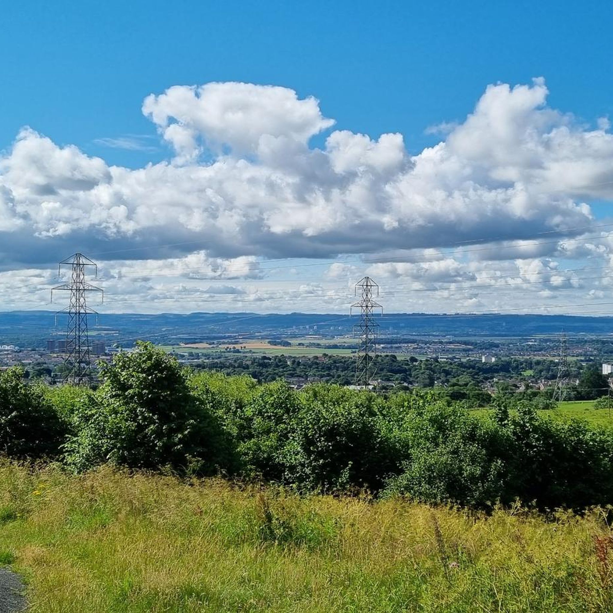
Gravel bike trails around Parkhall, North Kilbowie And Central traverse a diverse landscape featuring the Kilpatrick Hills, the Forth & Clyde Canal, and sections of the Antonine Wall. The terrain includes wide forest tracks, canal towpaths, and varied off-road sections. This region offers a mix of challenging climbs, such as those found in the Kilpatrick Hills, and flatter, well-surfaced paths along the canal. Numerous reservoirs and historical sites are integrated into the routes, providing varied scenery for gravel biking.
Best…
Last updated: November 3, 2026
4.5
(2)
47
riders
60.4km
03:57
710m
710m
Hard gravel ride. Very good fitness required. Mostly paved surfaces.
3.8
(4)
52
riders
46.6km
02:55
490m
490m
Hard gravel ride. Very good fitness required. Mostly paved surfaces.

71
riders
49.5km
03:16
570m
570m
Hard gravel ride. Very good fitness required. You may need to push your bike for some segments of this route.
3.3
(3)
10
riders
34.0km
02:27
500m
500m
Hard gravel ride. Very good fitness required. Mostly paved surfaces.
5.0
(2)
27
riders
30.4km
01:58
400m
400m
Moderate gravel ride. Good fitness required. Mostly paved surfaces.
Get access to more routes and recommendations from other explorers.
Already have an account?
Our route recommendations are based on thousands of hikes, rides, and runs completed by other people on komoot.
Start today with a free account
Your next adventure awaits.
Popular around Parkhall, North Kilbowie And Central
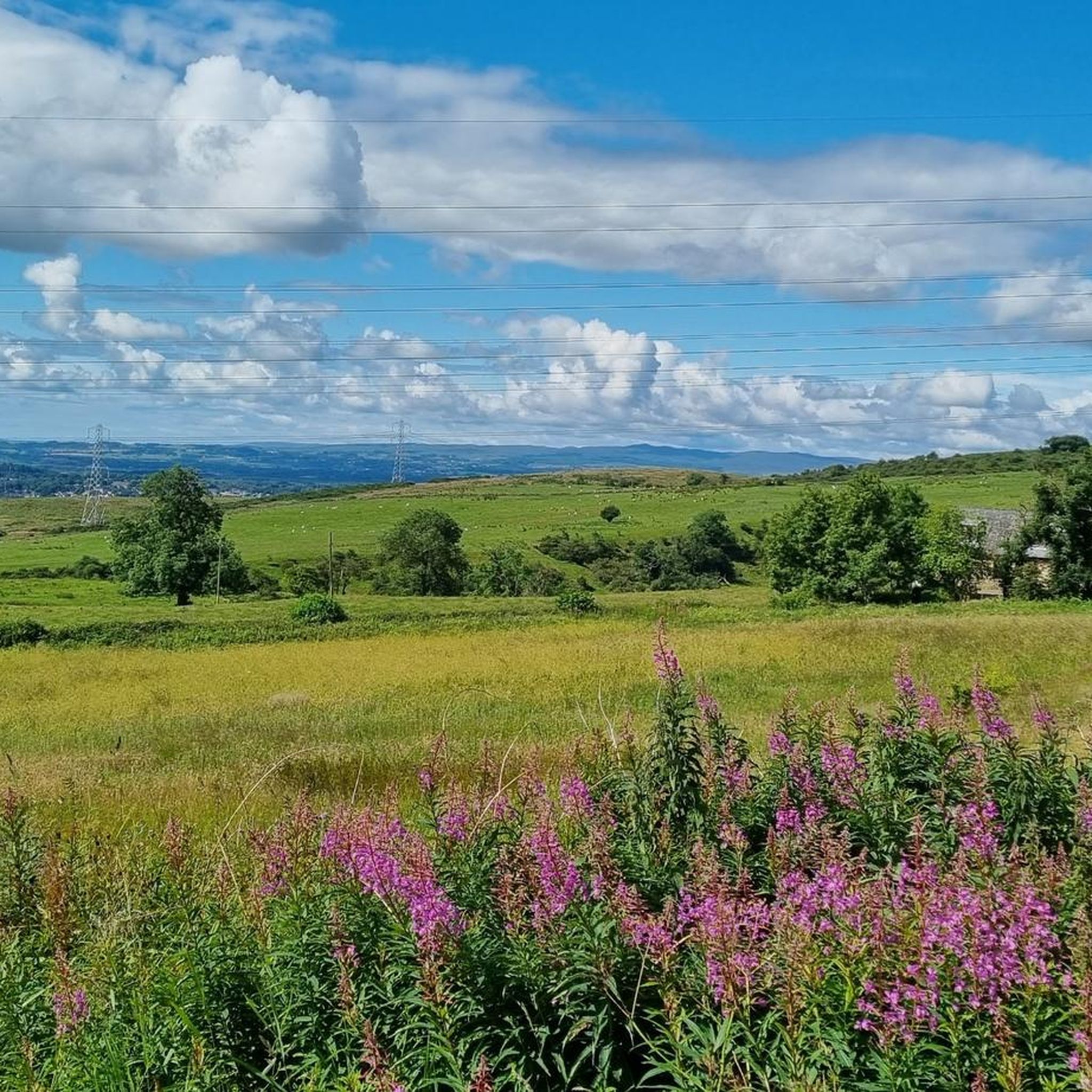
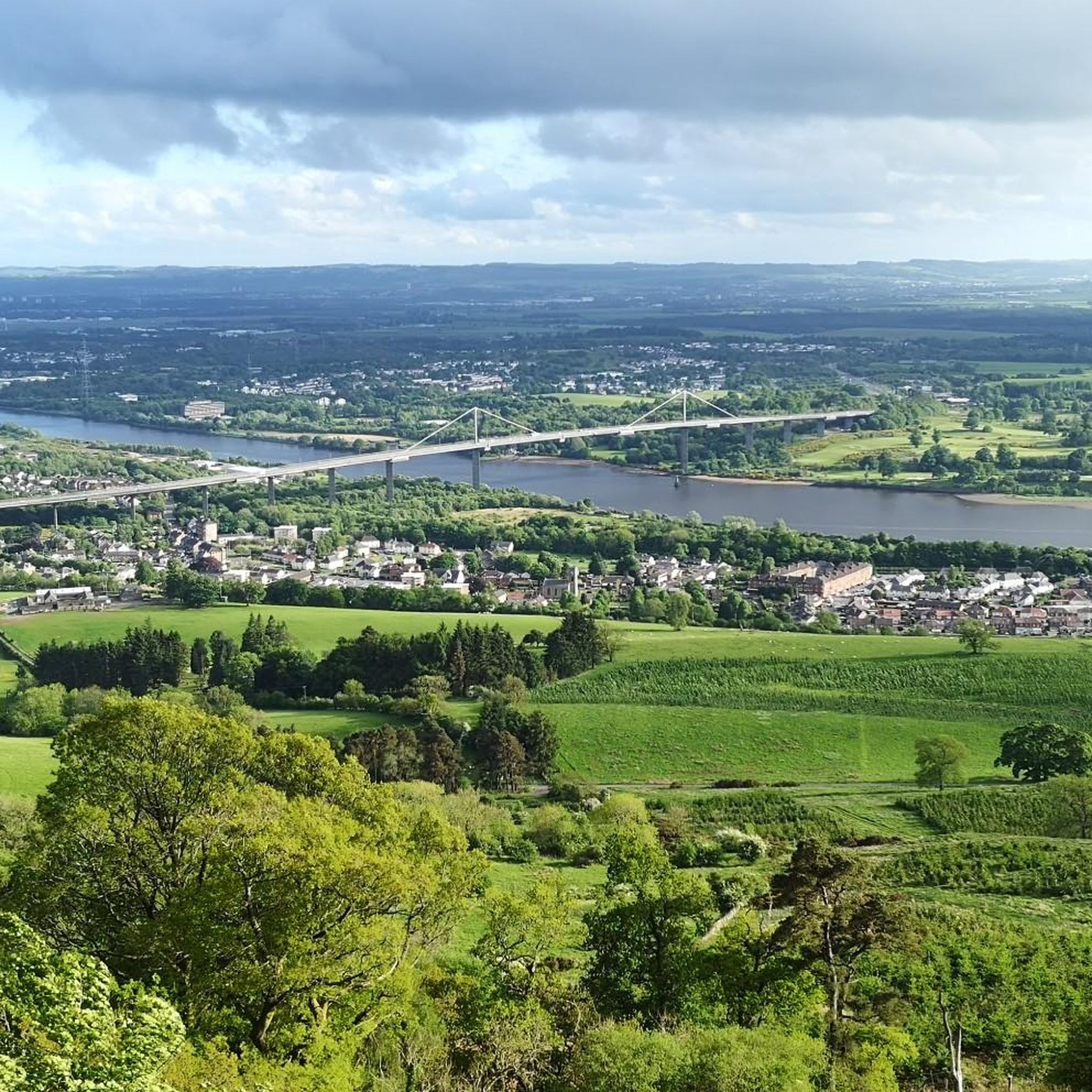
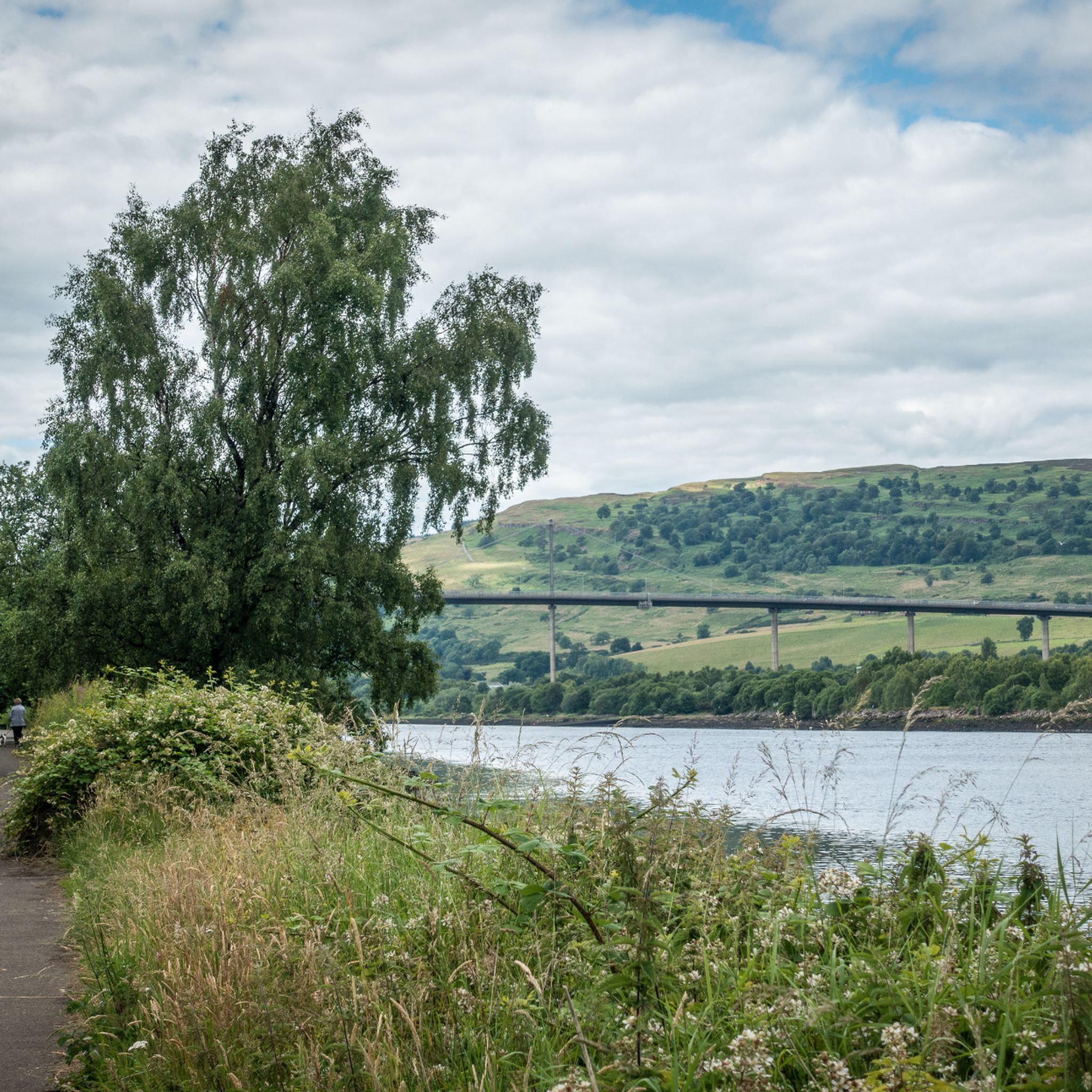
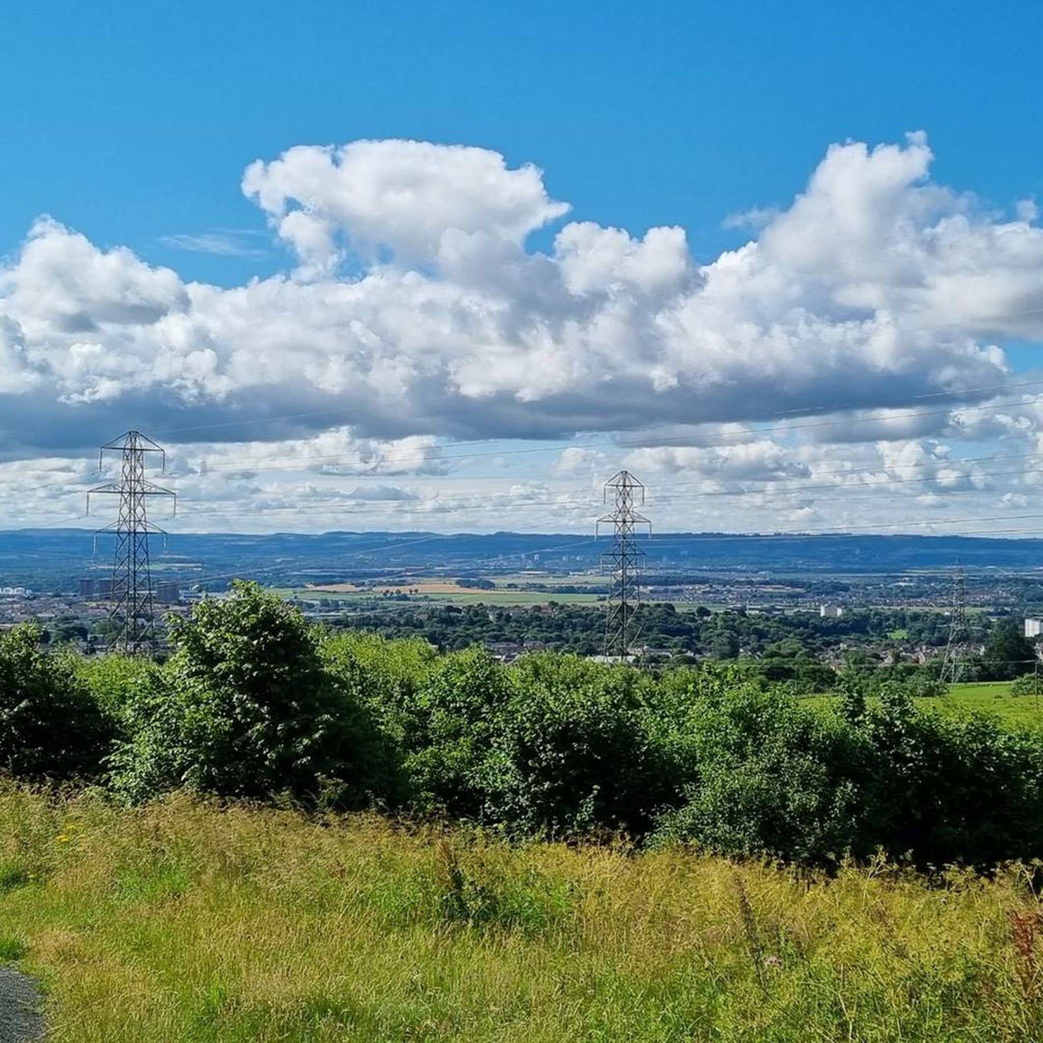
Tips from the Community

Craigallian Loch lies idyllically between green hills at the start of the West Highland Way. The small lake is surrounded by moorland and pasture landscape and already offers a taste of the Scottish scenery.
5
0


A gravel track that follows the trail of the Katrine Aqueducts that brings Glasgow's drinking water all the way from the Trossachs to Milngavie. Look out for exposed sections of the aqueducts as you travel along, one section in particular has a date marker of 1892 visible from the track. Stunning views over the Kilpatrick Hills and you can always drop down to Glengoyne distillery for a wee dram on the way past!
1
0


The start of the West Highland Way is very urban, and the first section will feel more like a country park. Good paths and signs will lead you out of the town towards Loch Lomond.
4
1

Nice to see in the video: https://youtu.be/FTvrh28-ojY
3
0

Just off the road. Video by SeeScotland on YouTube. https://www.youtube.com/watch?v=huTD5TCQbiA
0
0
Frequently Asked Questions
How many gravel bike trails are available in Parkhall, North Kilbowie And Central?
There are over 30 gravel bike trails in the Parkhall, North Kilbowie And Central region. These routes offer a diverse range of experiences, from challenging climbs in the Kilpatrick Hills to more relaxed rides along the Forth & Clyde Canal.
What makes gravel biking in this region unique?
The region offers a unique blend of landscapes, including the rugged Kilpatrick Hills, the historical Antonine Wall, and the scenic Forth & Clyde Canal. You can experience challenging forest tracks, smooth canal towpaths, and routes that pass by ancient Roman fortifications, all within a relatively compact area.
Are there gravel bike trails suitable for beginners or families?
Yes, while many routes are challenging, the Forth & Clyde Canal towpath offers largely traffic-free, flat, and well-surfaced paths ideal for beginners and families. These sections provide a relaxed cycling experience through scenic areas, though some parts can be stony or muddy, making a gravel bike a good choice.
What are some challenging gravel bike routes for experienced riders?
Experienced riders looking for a challenge will find plenty in the Kilpatrick Hills. Routes like the Craigallian Loch – Burncrooks Reservoir loop from Bearsden offer significant elevation gain over 60 km, taking around 5 hours to complete. Another demanding option is the Craigallian Loch – Trails at Mugdock Country Park loop from Garscadden, which features a mix of forest trails and open sections.
Can I find circular gravel bike routes in the area?
Yes, many of the gravel routes in the region are designed as loops. For example, the Mugdock Woods – Craigallian Loch loop from Hillfoot is a difficult 34 km circular route. These loops allow you to start and finish in the same location, making logistics easier.
What historical sites can I explore on a gravel bike?
The region is rich in history, particularly along the Antonine Wall, a UNESCO World Heritage site. You can cycle past traces of Roman ramparts and forts. Additionally, routes often pass by historical landmarks like Mugdock Castle and Craigallian Loch.
Are there good viewpoints or scenic spots along the gravel trails?
Absolutely. The Kilpatrick Hills offer rewarding views at the top of climbs, such as from Duncolm Summit or The Slacks Summit. Many routes also pass by reservoirs like Kilman Reservoir and Loch Humphrey, providing picturesque scenery. The View of Glasgow – Mugdock Castle loop from Hillfoot is a moderate route that offers great vistas.
Where can I find parking for gravel biking trails?
Parking is generally available near popular starting points for routes, especially around areas like Bearsden, Garscadden, and Hillfoot, which serve as access points to the Kilpatrick Hills and Mugdock Country Park. Specific parking details can often be found on individual route pages on komoot.
What is the best time of year for gravel biking in this area?
Spring and autumn generally offer the most pleasant conditions with milder temperatures and beautiful scenery. However, the region can be enjoyed year-round. Be prepared for potentially muddy or uneven sections, especially on canal towpaths, during wetter periods. Always check local weather forecasts before heading out.
Are there cafes or pubs along the gravel biking routes?
Yes, particularly along the Forth & Clyde Canal towpath, you'll find opportunities for refreshments. Places like the Heron Cafe and Farm Shop, or community cafes such as Lambhill Stables, are popular stops. Some routes near towns or villages will also have access to local pubs and eateries.
What do other gravel bikers enjoy most about this region?
The area is highly rated by the komoot community, with an average score of 4.2 stars. Reviewers often praise the diverse terrain, from challenging climbs with panoramic views to peaceful canal-side rides. The blend of natural beauty, historical sites, and varied difficulty levels makes it a favorite for many.
Most popular routes around Parkhall, North Kilbowie And Central
Most popular attractions around Parkhall, North Kilbowie And Central

Get inspired with the komoot mobile app


Explore more
Browse the best Gravel rides in other regions.
