The best gravel rides around Linnvale And Drumry
4.1
(27)
440
riders
32
rides
Gravel biking around Linnvale And Drumry is primarily shaped by the Forth & Clyde Canal, which offers a mostly traffic-free and relatively flat route. This historic waterway features mixed terrain, including tarred sections, as well as wet, uneven, and muddy paths, making it suitable for gravel bikes. The canal towpath serves as a wildlife corridor, providing opportunities to observe local flora and fauna. The region's gravel bike trails often incorporate these canal-side paths, connecting suburban areas with more open landscapes.
Best gravel bike trails around Linnvale And Drumry
- The most popular gravel bike trail is Craigallian Loch – Burncrooks Reservoir loop from Bearsden, a 37.4 miles (60.2 km) trail that takes about 5 hours 10 minutes to complete. This route features varied terrain around lochs and reservoirs.
- Another top favourite among local gravel bikers is Craigallian Loch – Trails at Mugdock Country Park loop from Garscadden, a difficult 28.2 miles (45.4 km) path. This trail explores areas around Mugdock Country Park and Craigallian Loch, offering a mix of natural and parkland scenery.
- Local gravel bikers also love the John Muir Way Gravel Descent – Craigallian Loch loop from Westerton, a 30.7 miles (49.5 km) trail leading through sections of the John Muir Way and around Craigallian Loch, often completed in about 3 hours 15 minutes.
- Gravel biking around Linnvale And Drumry is defined by canal towpaths, lochs, and mixed terrain surfaces. The network offers options for different ability levels, from moderate rides to more challenging routes.
- The routes in Linnvale And Drumry are highly rated by the komoot community with an average score of 4.2 stars from around 30 reviews. More than 400 gravel bikers have used komoot to explore Linnvale And Drumry's varied terrain.
Last updated: May 22, 2026
4.5
(2)
46
riders
60.4km
03:56
710m
710m
Hard gravel ride. Very good fitness required. Mostly paved surfaces. Suitable for all skill levels.
3.7
(3)
48
riders
44.9km
02:46
460m
460m
Hard gravel ride. Very good fitness required. Mostly paved surfaces. Suitable for all skill levels.

Sign up for free
67
riders
49.5km
03:15
570m
570m
Hard gravel ride. Very good fitness required. You may need to push your bike for some segments of this route.
4.5
(2)
13
riders
Hard gravel ride. Very good fitness required. Mostly paved surfaces. Suitable for all skill levels.
5
riders
108km
07:10
1,220m
1,220m
Hard gravel ride. Very good fitness required. Mostly paved surfaces. Suitable for all skill levels.
Get access to more routes and recommendations from other explorers.
Sign up for free
Already have an account?
Our route recommendations are based on thousands of hikes, rides, and runs completed by other people on komoot.
Start today with a free account
Your next adventure awaits.
Login or Signup
Tips from the Community


One of the most interesting bridges I've ever seen—in my opinion, an architectural masterpiece, magnificent..👍👍
1
0
Cycling along a canal has always been our thing... The old towpaths are being integrated into the cycle paths, which for us cyclists means always cycling along the water.
0
0

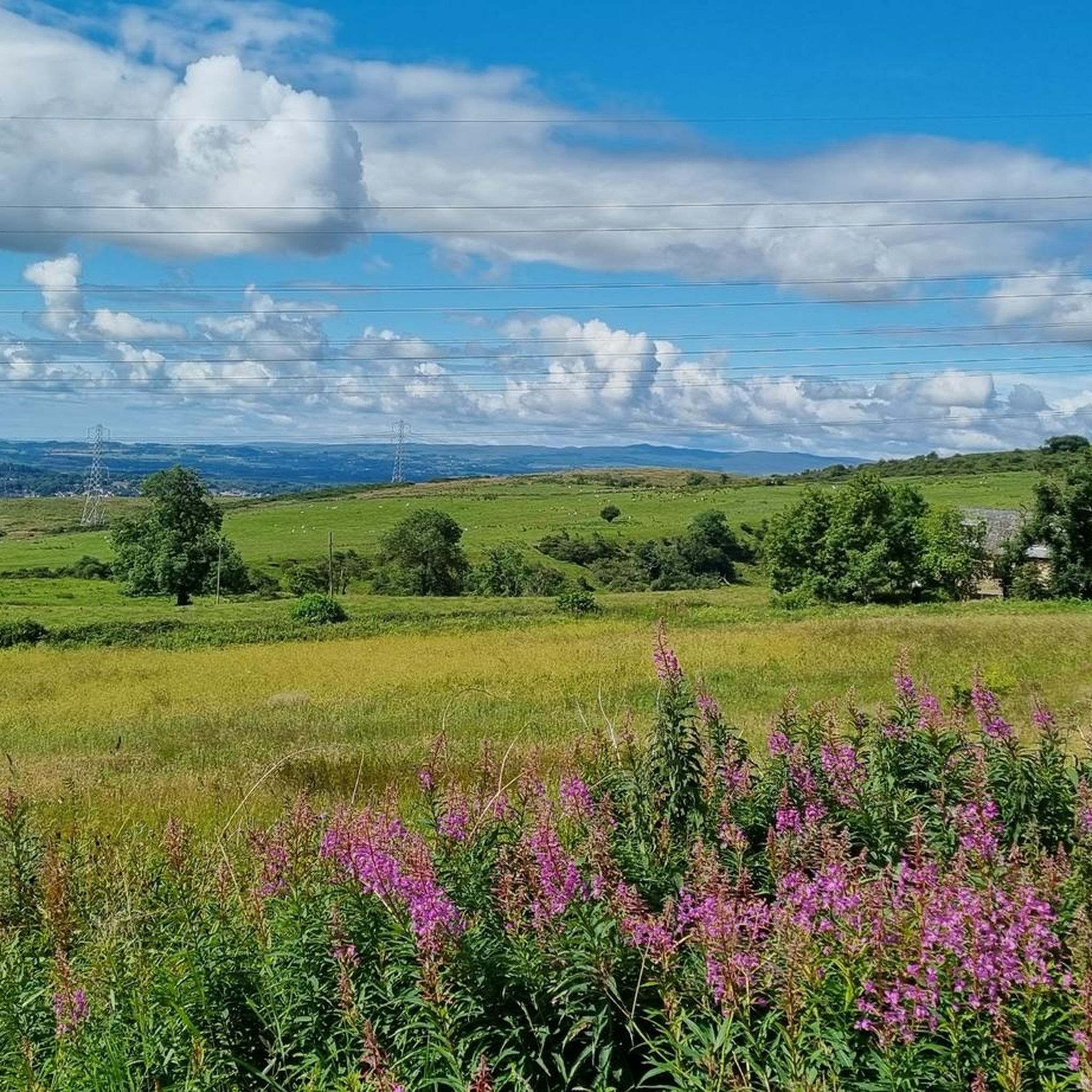
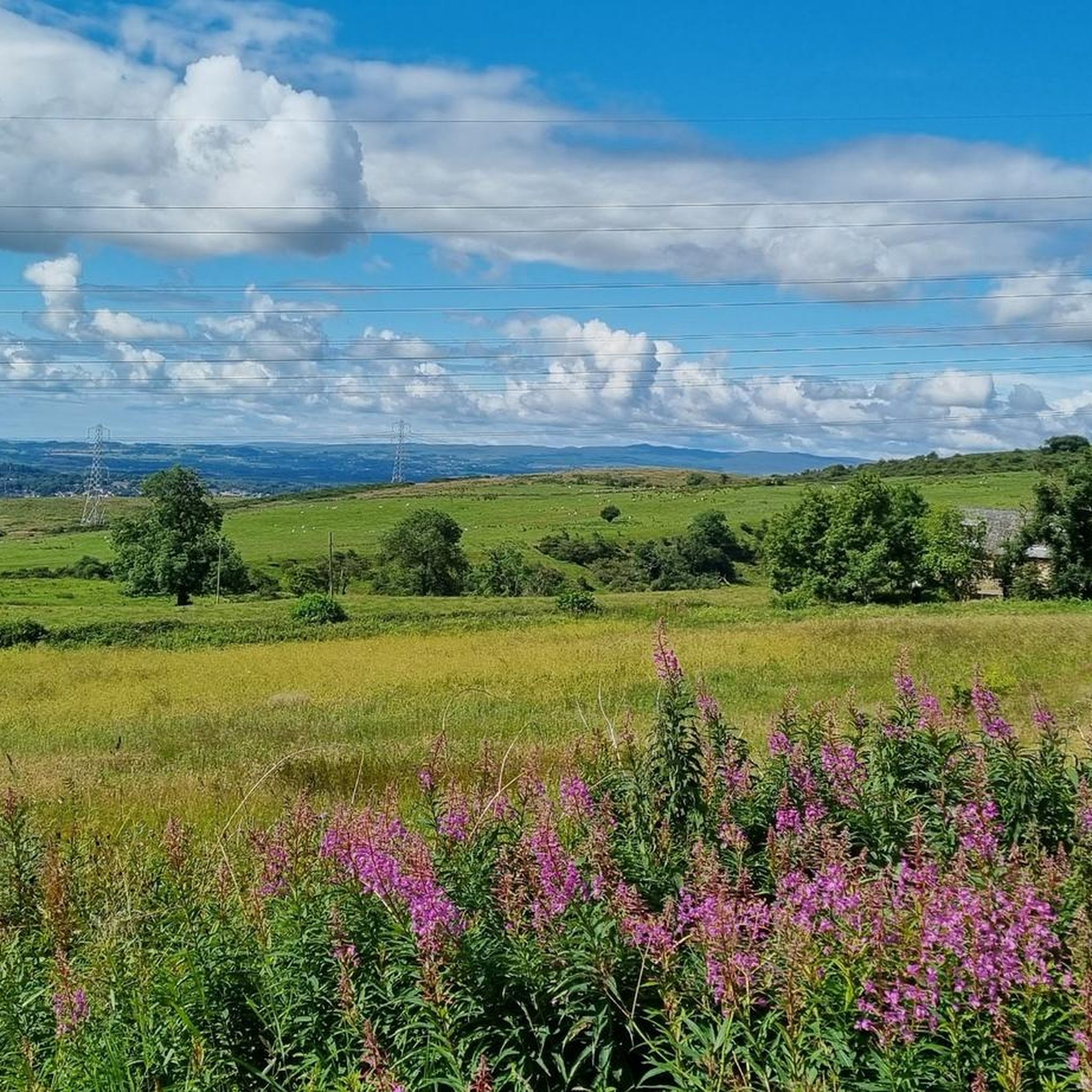
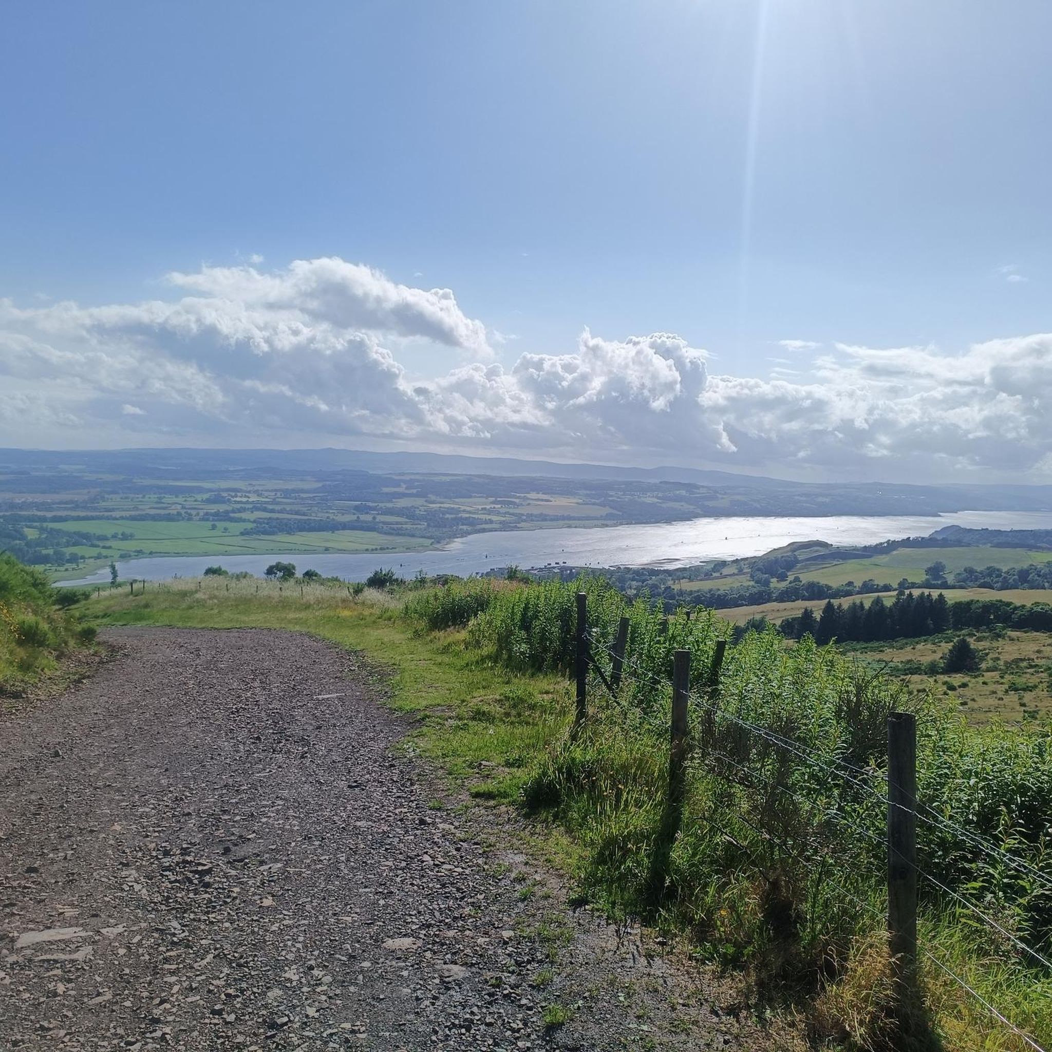
A gravel track that follows the trail of the Katrine Aqueducts that brings Glasgow's drinking water all the way from the Trossachs to Milngavie. Look out for exposed sections of the aqueducts as you travel along, one section in particular has a date marker of 1892 visible from the track. Stunning views over the Kilpatrick Hills and you can always drop down to Glengoyne distillery for a wee dram on the way past!
1
0


The Forth and Clyde Canal was constructed in 1790. It was successful initially but closed in the 1960s. Today it's a leisure destination with a brilliant towpath making an ideal cycling outing.
1
0

Stockingfield Junction is a spot along the canal between Maryhill and Ruchill in Glasgow, Scotland. It first opened back in 1777, closed in 1963, and was later restored and reopened in 2022. Originally, it served as a terminus before becoming the junction for the Port Dundas branch off the main line of the Forth and Clyde Canal from 1777.
4
1
Frequently Asked Questions
How many gravel bike trails are available around Linnvale And Drumry?
There are over 35 gravel bike trails around Linnvale And Drumry, offering a variety of options for different skill levels. The komoot community has explored these routes extensively, with nearly 500 gravel bikers using them.
What kind of terrain can I expect on gravel bike trails around Linnvale And Drumry?
The terrain is quite varied, primarily shaped by the Forth & Clyde Canal. You'll find a mix of tarred sections, as well as wet, uneven, and sometimes muddy paths, especially along the canal towpath. This mixed surface is ideal for gravel bikes, connecting suburban areas with more open landscapes around lochs and reservoirs.
Are there any easy gravel bike trails suitable for beginners?
While many routes are moderate to difficult, there are a couple of easier options. The canal towpath itself provides a relatively flat and traffic-free experience, which can be adapted for shorter, less strenuous rides. For specific routes, you can filter for 'easy' difficulty on komoot.
What are some challenging gravel bike routes for experienced riders?
For a more challenging experience, consider routes like the Aberfoyle Riverside Cycle Path – Lochan Spling Fish Sculpture loop from Bearsden, which covers over 100 km with significant elevation gain. Another demanding option is the Craigallian Loch – Burncrooks Reservoir loop from Bearsden, a 60 km trail featuring varied terrain.
Are the gravel bike trails around Linnvale And Drumry suitable for families?
Yes, the Forth & Clyde Canal towpath offers a mostly traffic-free and relatively flat environment, making it suitable for family rides. Sections of this historic waterway are ideal for a leisurely pace, allowing families to enjoy the scenery and wildlife without significant challenges. Always check specific route details for difficulty and length.
Can I bring my dog on the gravel bike trails?
Many of the canal towpaths and natural trails are dog-friendly, especially if your dog is accustomed to running alongside a bike or can be carried in a suitable trailer. However, it's always best to keep dogs under control, especially around wildlife and other trail users. Be mindful of livestock in more rural sections and check local signage for any restrictions.
What natural features or landmarks can I see along the gravel bike trails?
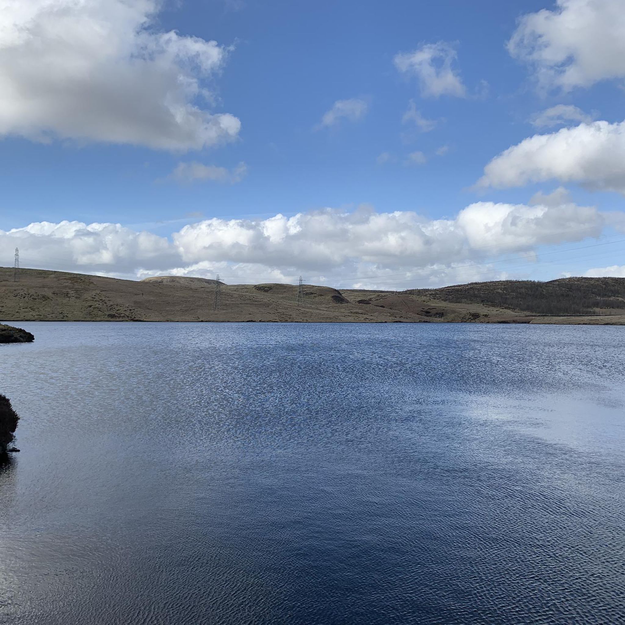
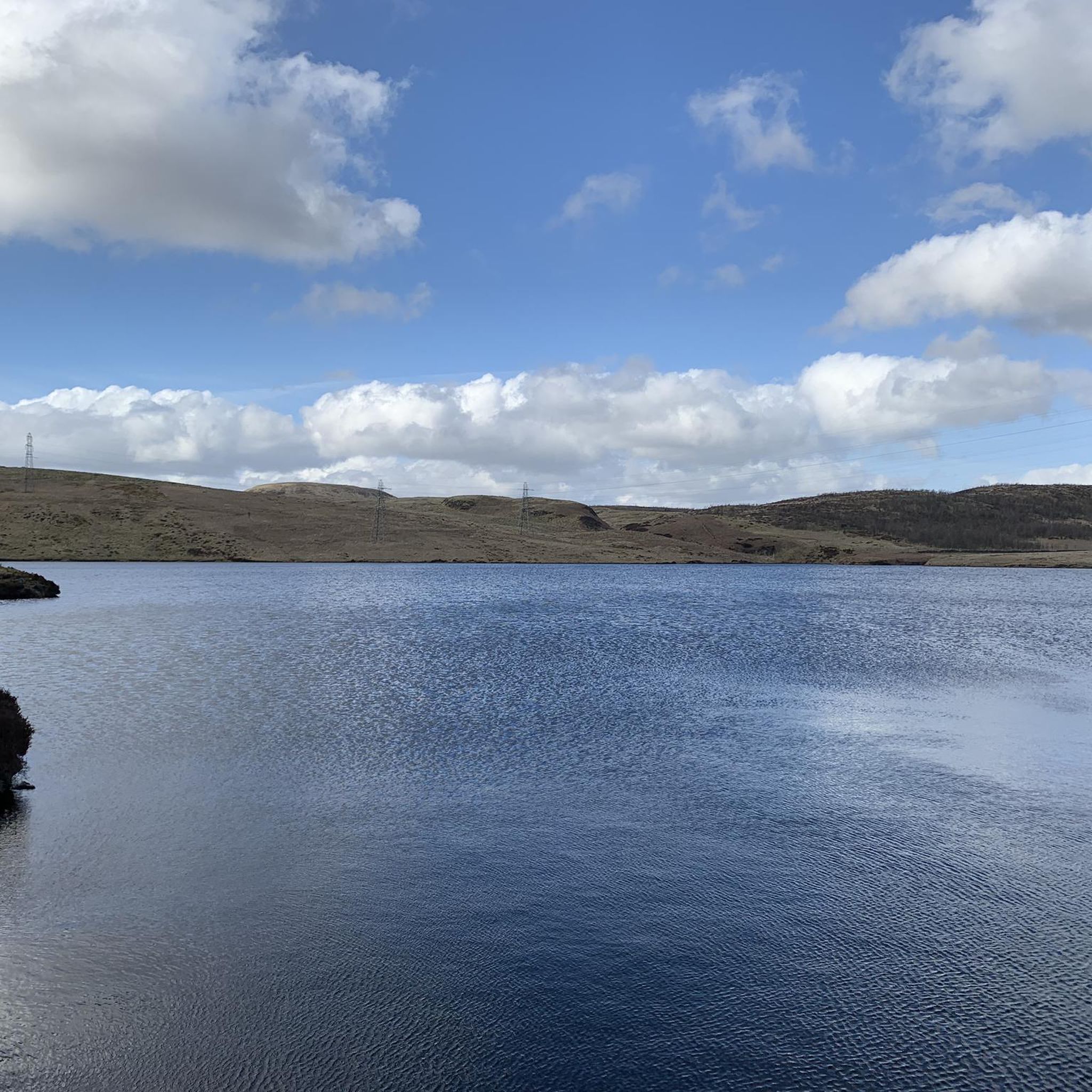
You'll encounter diverse scenery along the canal, which is a wildlife corridor. Nearby attractions include Craigallian Loch and Burncrooks Reservoir. You might also pass by historical sites like Mugdock Castle or natural formations such as The Whangie Rock Formation, depending on your chosen route.
Are there any circular gravel bike routes in the area?
Yes, many of the popular gravel routes around Linnvale And Drumry are circular. For example, the Craigallian Loch – Trails at Mugdock Country Park loop from Garscadden offers a challenging circular path exploring parkland and lochside scenery. Another option is the John Muir Way Gravel Descent – Craigallian Loch loop from Westerton.
What is the best time of year to go gravel biking in Linnvale And Drumry?
The best time for gravel biking is generally from spring through autumn when the weather is milder and daylight hours are longer. While the canal towpaths can be ridden year-round, sections can become wet and muddy in winter, requiring appropriate gear and caution. Always check local weather conditions before heading out.
What do other gravel bikers say about the trails in Linnvale And Drumry?
The gravel bike trails in Linnvale And Drumry are highly rated by the komoot community, with an average score of 4.2 stars from nearly 30 reviews. Riders often praise the varied terrain, the scenic canal-side paths, and the opportunities to explore both suburban areas and more open natural landscapes.
Are there places to eat or drink near the gravel bike trails?
While specific cafes and pubs directly on the trails are not highlighted, Linnvale and Drumry, being within Scotland's central belt, offer access to local amenities. You'll find various establishments in nearby towns and villages along the canal network where you can refuel after your ride.
What is the typical elevation gain on gravel bike trails in this region?
Elevation gain varies significantly depending on the route. While the canal towpath itself is relatively flat, routes that venture into areas like Mugdock Country Park or around lochs and reservoirs can involve substantial climbs. For instance, the Craigallian Loch – Burncrooks Reservoir loop has an elevation gain of over 700 meters.
Where can I park my car when visiting the gravel bike trails?
Parking options are generally available in and around Linnvale and Drumry, particularly near access points to the Forth & Clyde Canal towpath or in nearby towns. Look for public car parks or designated parking areas close to the start of your chosen route. Always check local signage for any restrictions or fees.
Most popular routes around Linnvale And Drumry
Most popular attractions around Linnvale And Drumry

Get inspired with the komoot mobile app


Explore more
Browse the best Gravel rides in other regions.
