The best gravel rides around Ancrum
2.0
(1)
36
riders
2
rides
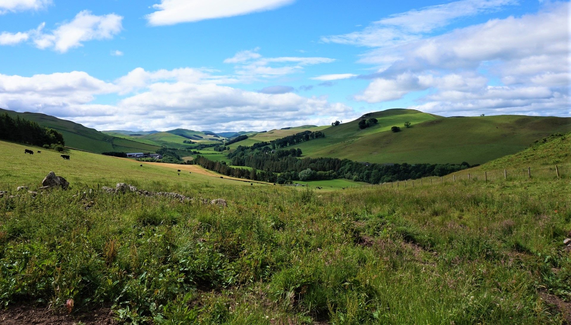
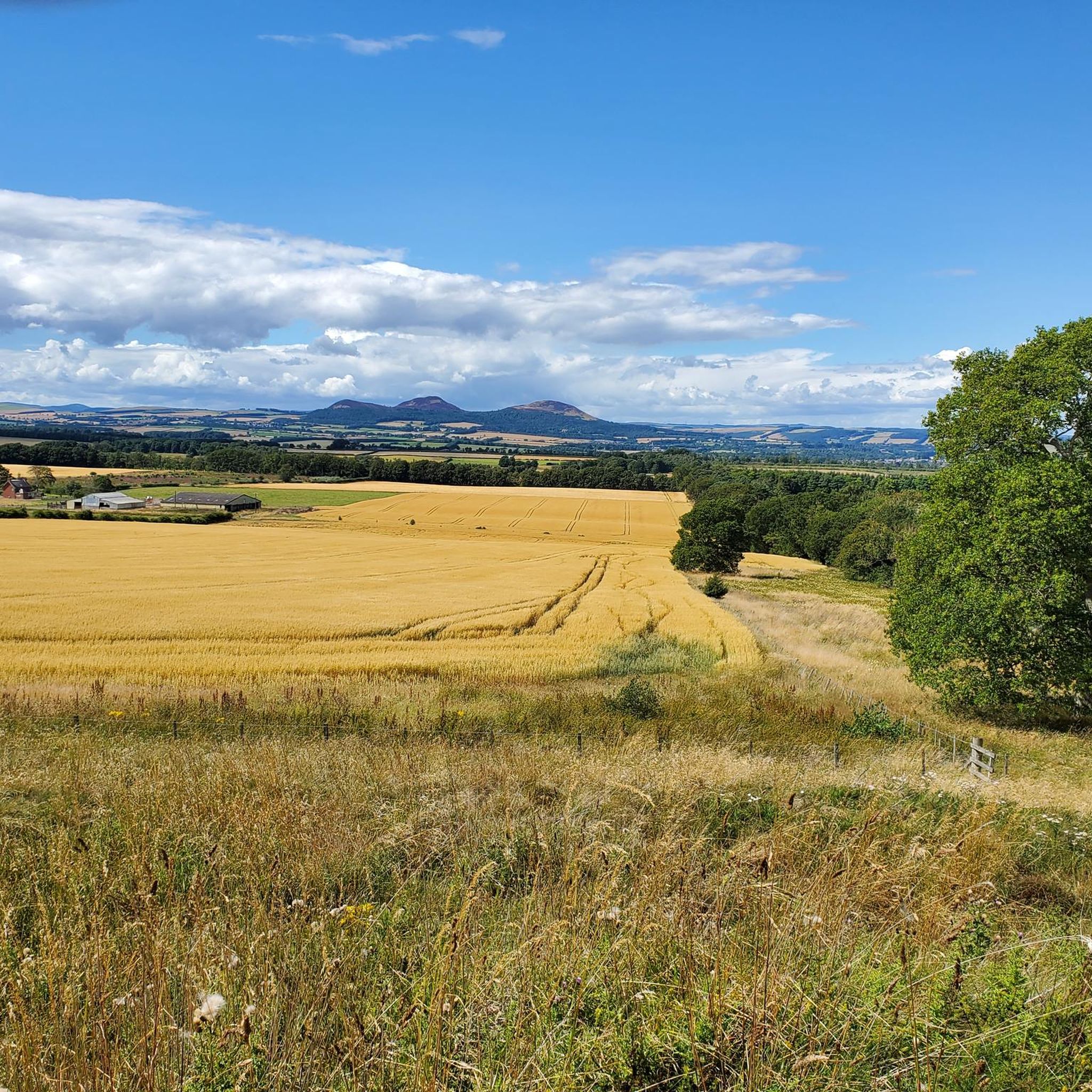
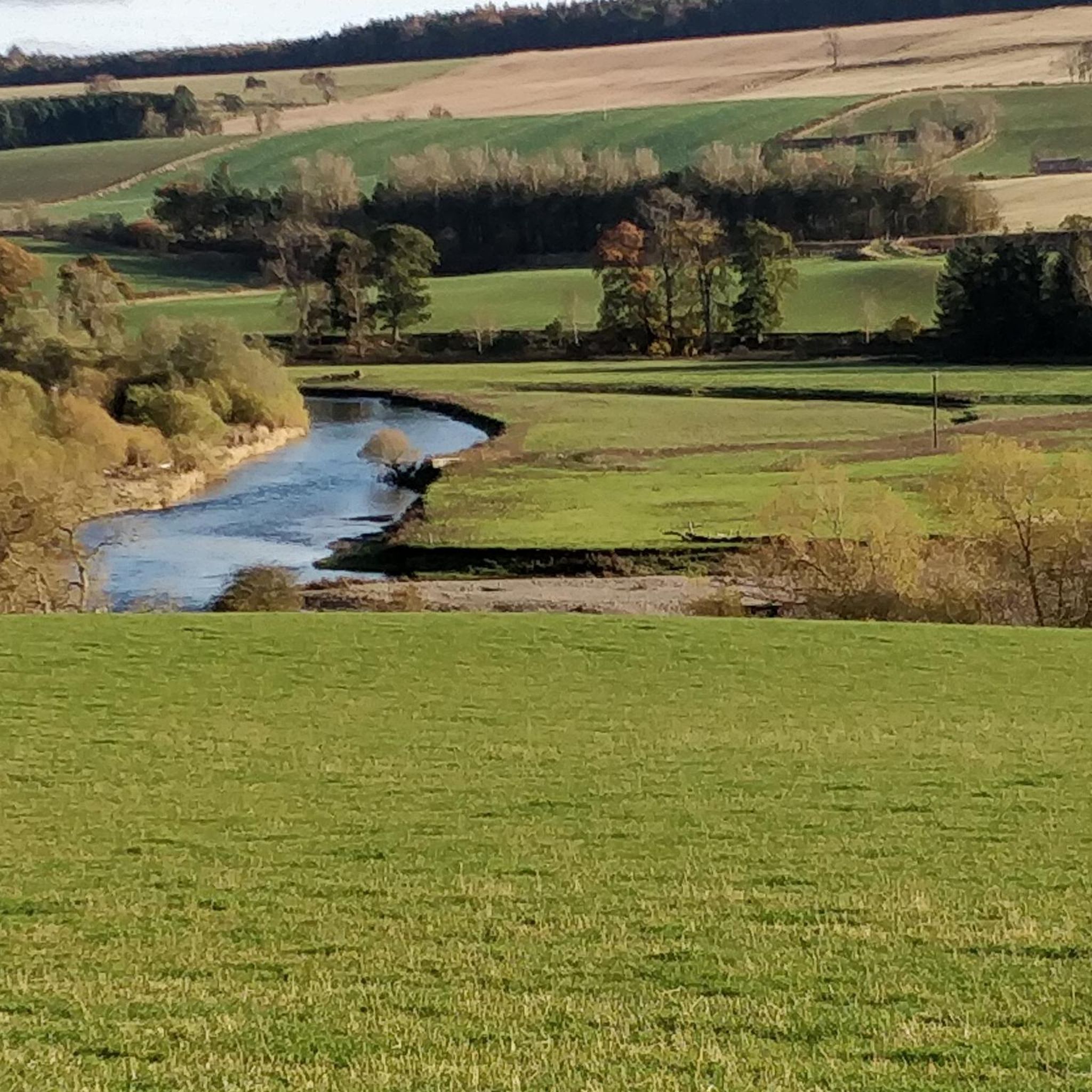
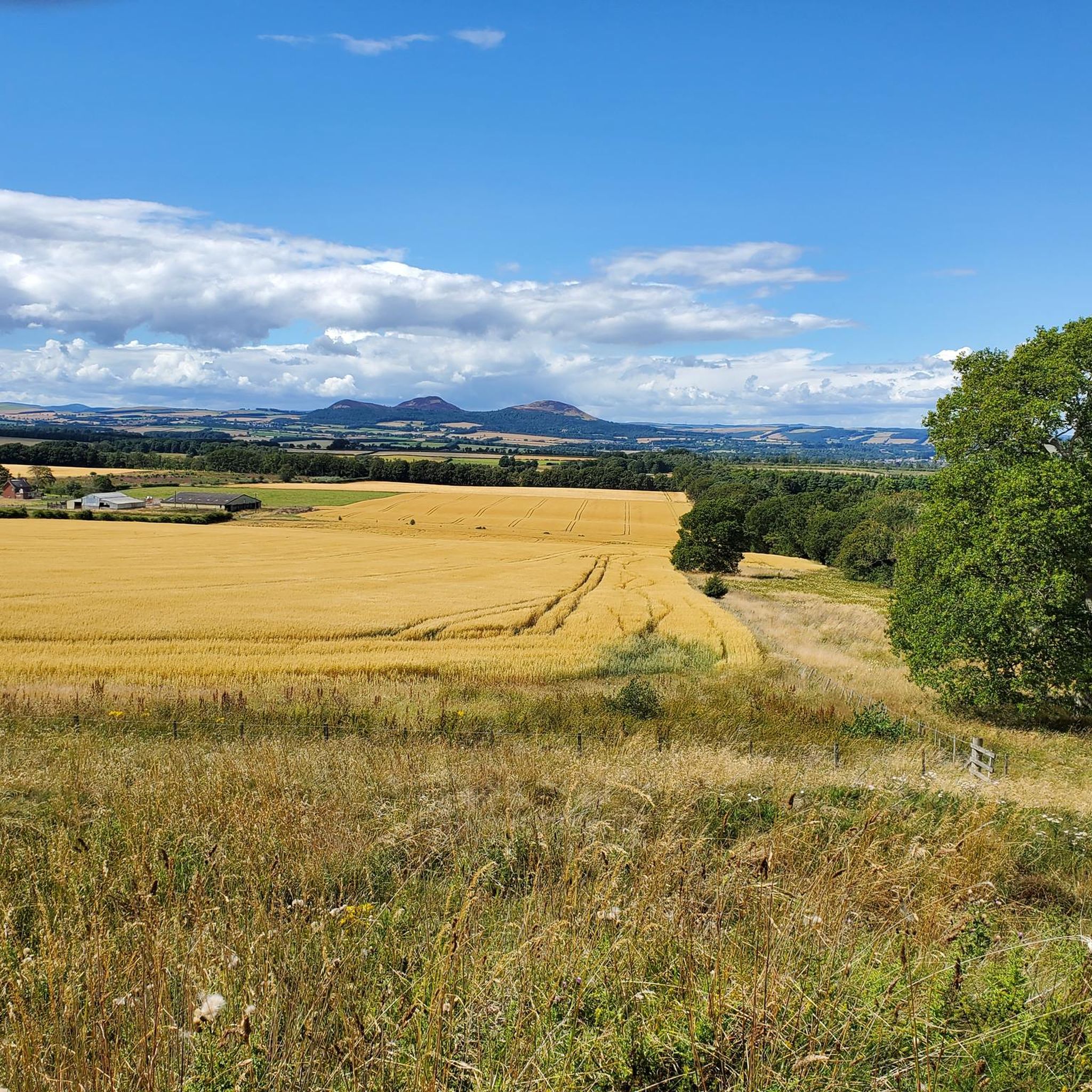
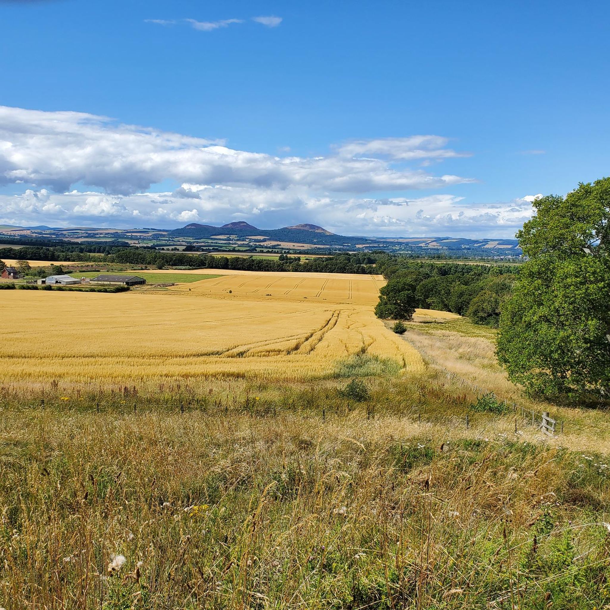
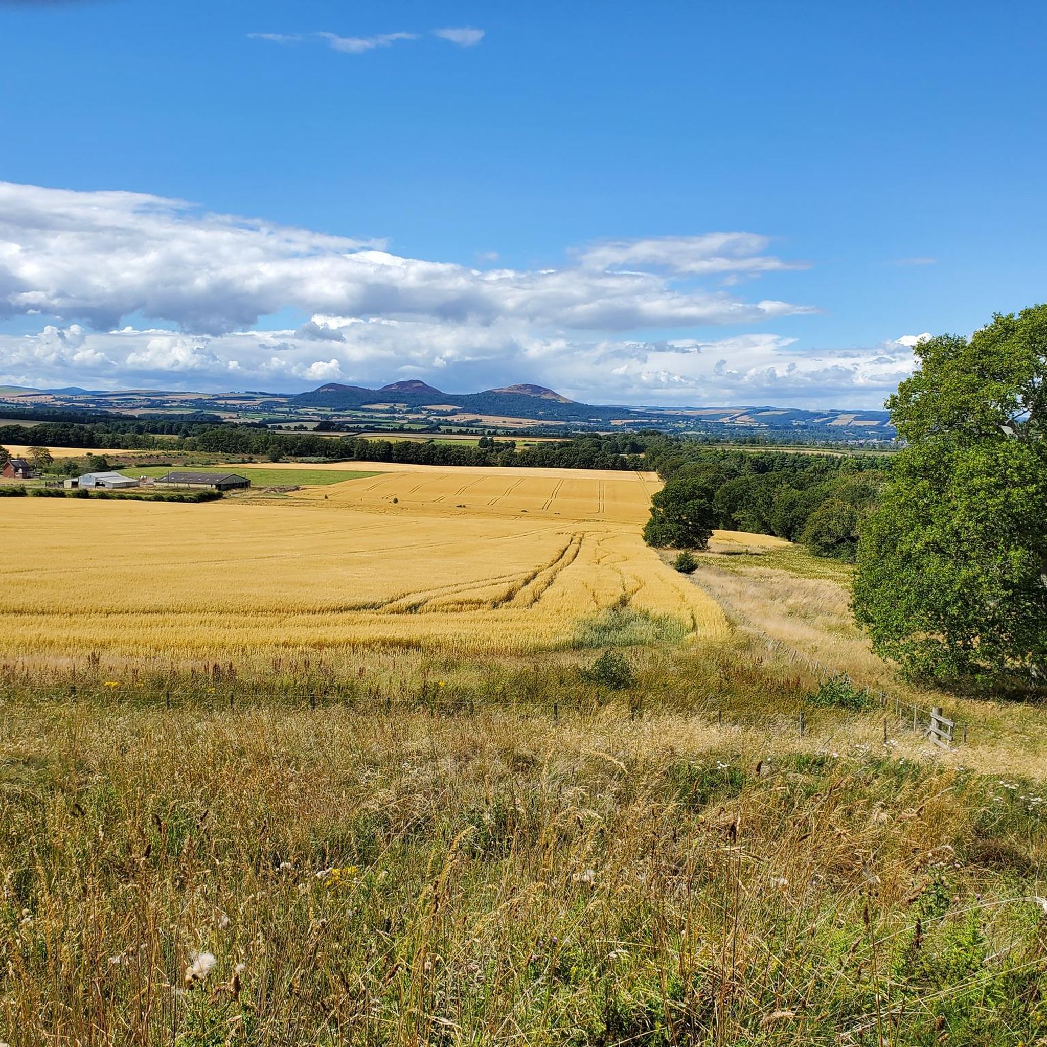
Gravel biking around Ancrum offers routes through a landscape characterized by rolling hills, verdant greenery, and riverside paths along the Ale Water and River Teviot. The terrain includes varied surfaces and unpaved segments, often incorporating historical routes such as sections of the ancient Dere Street Roman road. This region provides a blend of natural beauty and historical intrigue, suitable for diverse gravel biking experiences.
Best gravel bike trails around Ancrum
- The most popular gravel bike trail is Tweed Valley Near…
Last updated: August 27, 2026
21
riders
62.2km
03:59
750m
750m
Hard gravel ride. Very good fitness required. Mostly paved surfaces. Suitable for all skill levels.
5
riders
58.4km
04:22
850m
850m
Hard gravel ride. Very good fitness required. Mostly paved surfaces. Suitable for all skill levels.

Sign up for free
2.0
(1)
3
riders
11.3km
00:54
210m
210m
Moderate gravel ride. Good fitness required. Mostly paved surfaces. Suitable for all skill levels.
Our route recommendations are based on thousands of hikes, rides, and runs completed by other people on komoot.
Start today with a free account
Your next adventure awaits.
Login or Signup


Tips from the Community

For Goethe, Walter Scott's books were "the best things ever written in the world." With his historical novels, such as the one about the knight Ivanhoe, the Scottish author, born 250 years ago, was one of the most famous authors of his time. Quote from Walter Scott: "I have read enough books to know that the most profound utterances come from the lips of poor and uneducated women and men. Things often come to light there that are perhaps more sublime and moving only in the Bible. Even the poet will only fulfill his true calling if he recognizes everything as vain and worthless that is not a true inner cultivation of the heart." (Text from https://www.deutschlandfunk.de/250-geburtstag-des-schriftstellers-wie-sir-walter-scott-den-100.html ) From the spot marked here as a highlight, passersby can only see it from a distance, but the property itself is of course also included in the koomot system, see => https://www.komoot.com/de-de/highlight/4525502
0
0

The tarmac cycle path following the river Tweed from Glentress makes Innerleithen super accessible which in turn provides you with free range to pedal the ‘old’ XC & DH trails, it also provides easy access to the current ‘trendy’ gravity orientated hot spot of Golfie, named so, as it’s situated above the golf course. First off the Old XC, (starts from the carpark over the bridge by the river) it was very sad to see the current trashed & sorry state of what appears to be the forgotten XC Trail, after having ridden it many times since the early eighties! The long climb at the start is currently cut short & diverted with no access up to the top from what I could see? The remainder of the trails are just trashed with the mighty Caddon Bank DH a shadow of its former self. Golfie is an easy pedal across the village with some great coffee stop opportunities enroute. One in particular Findra on the high st deserves a Big shout out, it’s stylish, MTB rider (muddy bum) friendly, sells fantastic coffee & food has uber cool curated music. Oh it also sells very cool artisan made clothing. There are others in the village which all look fab but Findra was the one we stopped at. The Findra staff ride mountain bikes, are super friendly & great for local riding knowledge 😉👍 Golfie is a short pedal through the village towards the Golf club & then a longish pedal up a Forest road with ‘natural’ trails spilling off the side of the hill in varying degrees of difficulty. Be prepared for full on gnar, chunder, roots, very steep drop offs & lots n lots of muddy gloop if the weather has not been kind. No manicured trails here! If you keep pedalling you’ll eventually reach the old reservoir where the views are magnificent & several trail go off in several directions. My advice, if it’s your first time riding Golfie try & take someone who’s ridden it before as some of the trails start off very benign but then transform like Dr Jekyll & Mr Hyde! Wear body armour that allows you to pedal, but all the same wear body armour😜👍
1
0

There are some great views around this area. The old railtrack is elevated and you can see through the valley in different directions. The streams below are meandering, the contour of the land, the different types of greenery. Great place to stop and sit down for a moment and appreciate the location
0
0
Both sides of the road at this location have pig farms. Each family of pigs has it's own segment, I think the mother pig was the parent with loads of piglets running to her. Nice sight to see
1
0
View from Crowbyres Bridge which is located on the south east edge of Hawick, exiting the town on the B6399 road
0
0
Shankend Viaduct is a truly impressive structure. Built then opened in 1862, 597ft long, 60ft high, 15 arches. This used to be part of the main Edinburgh Waverley to Carlisle railtrack.
0
0
This building is by far the most prominent feature in Hawick. The size differs to everything close by and in the full town
0
0

A small loch, wooded on its north shore and a great habitat for birdlife. Folklore records that the loch is home to a bogle in the shape of a 'water bull'.
0
0
Frequently Asked Questions
What kind of terrain can I expect on gravel bike trails around Ancrum?
Gravel biking around Ancrum features a mix of rolling hills, verdant landscapes, and tranquil riverside paths along the Ale Water and River Teviot. You'll encounter varied surfaces, including unpaved segments, and some routes incorporate historical paths like sections of the ancient Dere Street Roman road. Expect a blend of natural beauty and historical intrigue.
Are there gravel routes suitable for beginners or families in Ancrum?
While many routes in the broader Scottish Borders region can be challenging, the Ancrum area offers options for different ability levels. For a moderate ride, consider the Redbridge Viaduct – Caulshield Loch loop from Melrose, which is 7.0 miles (11.3 km) and leads through areas with water features and historical structures. This route is often completed in under an hour, making it a good option for those looking for a less strenuous ride.
How long do gravel bike rides typically take in the Ancrum area?
The duration of gravel bike rides around Ancrum varies significantly depending on the route and your pace. For example, the Tweed Valley Near Innerleithen – Old Peel Road loop from Tweedbank is a longer, more challenging ride at 39.3 miles (63.2 km) and typically takes around 4 hours. A moderate option like the Redbridge Viaduct – Caulshield Loch loop from Melrose is much shorter, at 7.0 miles (11.3 km), and can be completed in under an hour.
What do other gravel bikers say about the trails in Ancrum?
The gravel biking routes in Ancrum are highly rated by the komoot community, with an average score of 2.0 stars from over 1 review. Over 28 gravel bikers have used komoot to explore Ancrum's varied terrain, often praising the scenic vistas and the blend of natural beauty with historical elements.
What historical sites or landmarks can I see while gravel biking near Ancrum?
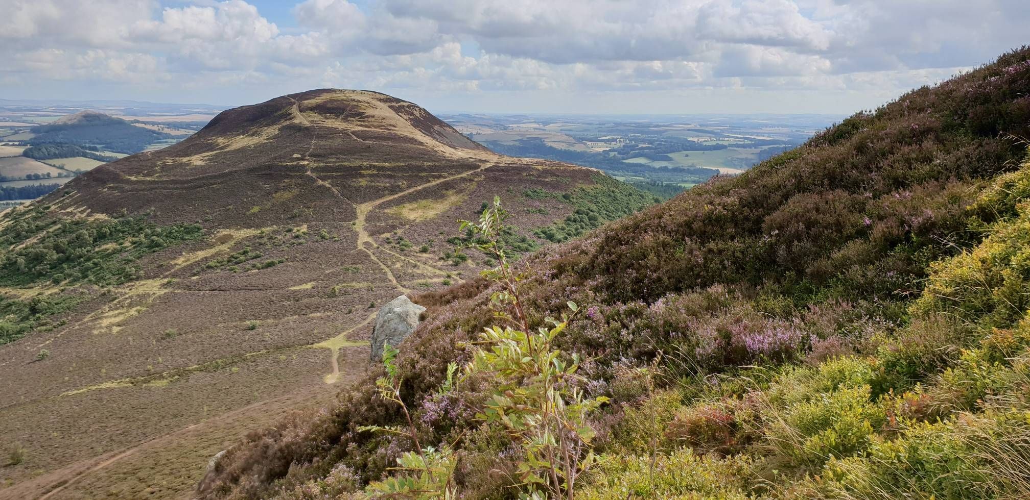
The Ancrum area is rich in history. While cycling, you might encounter sections of the ancient Dere Street Roman road or St. Cuthbert's Way. Nearby attractions include the Waterloo Monument on Peniel Heugh, the majestic Eildon Hills with their Bronze Age hill forts, and historical sites like Jedburgh Abbey. The village of Ancrum itself has remnants of medieval structures and a church dating back to 1136.
Are there any scenic viewpoints along the gravel routes?
Yes, the region offers several scenic viewpoints. The Stobs War Memorial – Shankend Viaduct loop from Ashybank, for instance, offers extensive views over the Scottish Borders. The Waterloo Monument on Peniel Heugh and the Eildon Mid Hill Summit are also notable spots for breathtaking panoramas of the landscape.
Is there parking available near the gravel bike trailheads in Ancrum?
Yes, parking is generally available in and around Ancrum village, which serves as a good starting point for many local routes. For specific trailheads, it's advisable to check the individual route details on komoot for designated parking areas or suitable roadside parking options.
Can I reach the gravel biking areas around Ancrum by public transport?
While Ancrum is a village, public transport options exist to reach the wider Scottish Borders region. Buses connect Ancrum to larger towns like Jedburgh and Melrose, which may offer more direct links to trail starting points or allow for connecting rides. Planning your route in advance with local bus schedules is recommended.
What is the best time of year for gravel biking in Ancrum?
The Scottish Borders, including Ancrum, can be enjoyed for gravel biking throughout much of the year. Spring and autumn offer pleasant temperatures and beautiful scenery with changing foliage. Summer provides longer daylight hours. Be prepared for varied weather conditions regardless of the season, as Scottish weather can be unpredictable. Winter rides are possible but may involve colder temperatures and potentially muddier conditions on unpaved sections.
Are there any cafes or pubs along the gravel bike routes in Ancrum?
Ancrum village itself has local amenities, including pubs and cafes, where you can refuel before or after your ride. While specific routes may not have establishments directly on the trail, many loops start and end near the village or pass through other small towns in the Scottish Borders that offer refreshment stops.
Are there any challenging gravel routes for experienced riders near Ancrum?
Yes, for experienced riders seeking a challenge, the Ancrum area and the wider Scottish Borders offer difficult routes with significant elevation gain. The Tweed Valley Near Innerleithen – Old Peel Road loop from Tweedbank, for example, is a difficult 39.3 miles (63.2 km) trail with over 730 meters of elevation gain. Another demanding option is the Stobs War Memorial – Shankend Viaduct loop from Ashybank, which is 35.7 miles (57.4 km) and features over 840 meters of climbing.
Can I find circular gravel bike routes around Ancrum?
Yes, many of the gravel biking opportunities around Ancrum are designed as circular routes, allowing you to start and finish at the same point. All the featured routes, such as the Tweed Valley Near Innerleithen – Old Peel Road loop from Tweedbank and the Redbridge Viaduct – Caulshield Loch loop from Melrose, are loops, providing convenient options for exploration.
Most popular attractions around Ancrum

Get inspired with the komoot mobile app


Explore more
Browse the best Gravel rides in other regions.
