The best gravel rides around Langbank
4.3
(3)
21
riders
7
rides
Gravel biking around Langbank offers diverse terrain along the southern banks of the River Clyde in Renfrewshire, Scotland. The area features a mix of riverside paths, rolling hills, and extensive woodlands, providing varied surfaces for gravel cyclists. Langbank serves as a gateway to the broader Clyde Muirshiel Regional Park, which includes unpaved segments suitable for off-road cycling. The landscape is characterized by its proximity to the Clyde estuary and access to a network of trails through natural environments.
Best gravel…
Last updated: July 3, 2026
6
riders
51.0km
03:14
640m
640m
Hard gravel ride. Very good fitness required. Mostly paved surfaces. Suitable for all skill levels.
5.0
(1)
1
riders
35.9km
02:30
630m
630m
Hard gravel ride. Very good fitness required. Mostly paved surfaces. Suitable for all skill levels.

Sign up for free
5
riders
41.8km
02:42
560m
560m
Hard gravel ride. Very good fitness required. Mostly paved surfaces. Suitable for all skill levels.
5.0
(1)
3
riders
35.7km
02:27
530m
530m
Hard gravel ride. Very good fitness required. You may need to push your bike for some segments of this route.
3.0
(1)
3
riders
33.7km
02:09
440m
440m
Moderate gravel ride. Good fitness required. Mostly paved surfaces. Suitable for all skill levels.
Get access to more routes and recommendations from other explorers.
Sign up for free
Already have an account?
Our route recommendations are based on thousands of hikes, rides, and runs completed by other people on komoot.
Start today with a free account
Your next adventure awaits.
Login or Signup
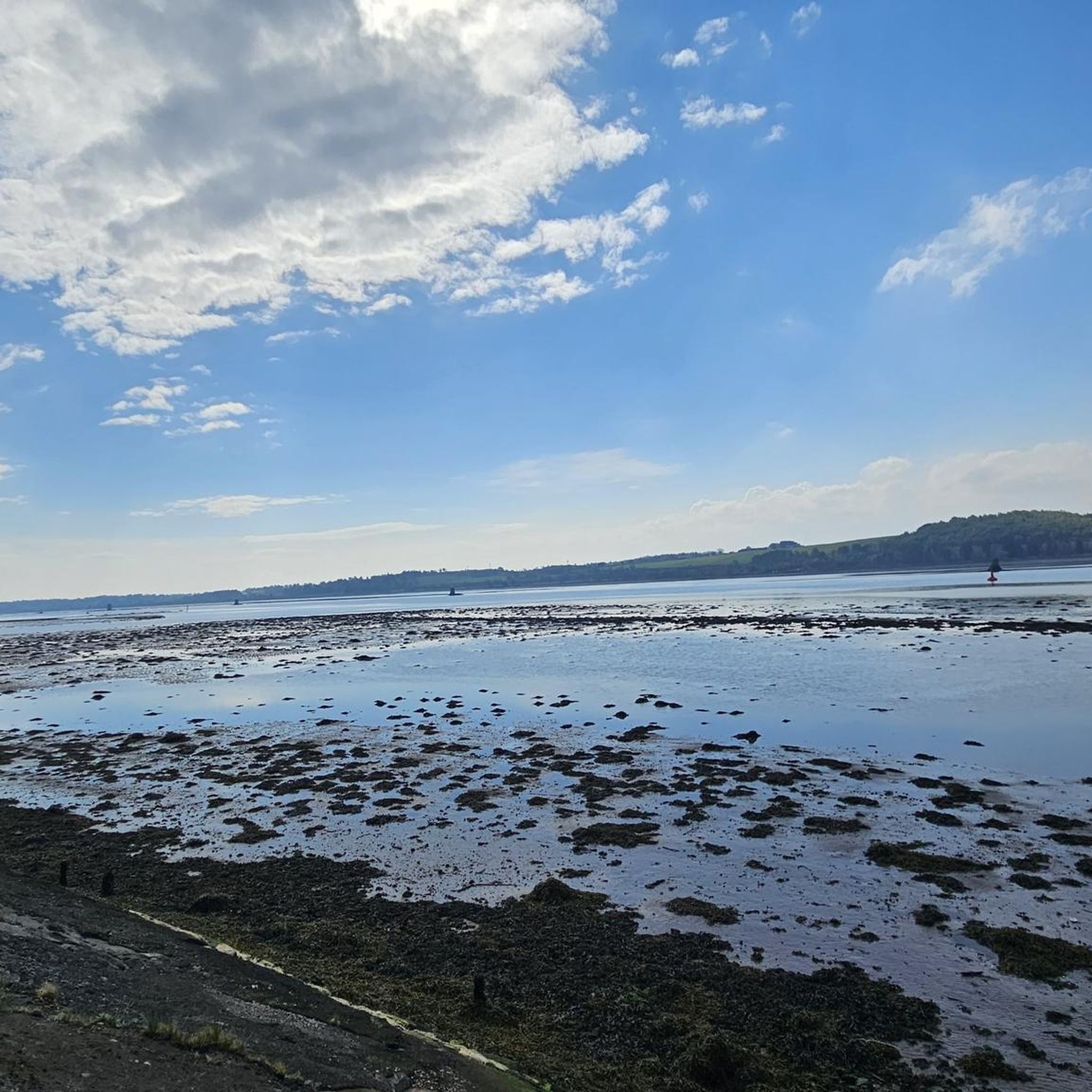
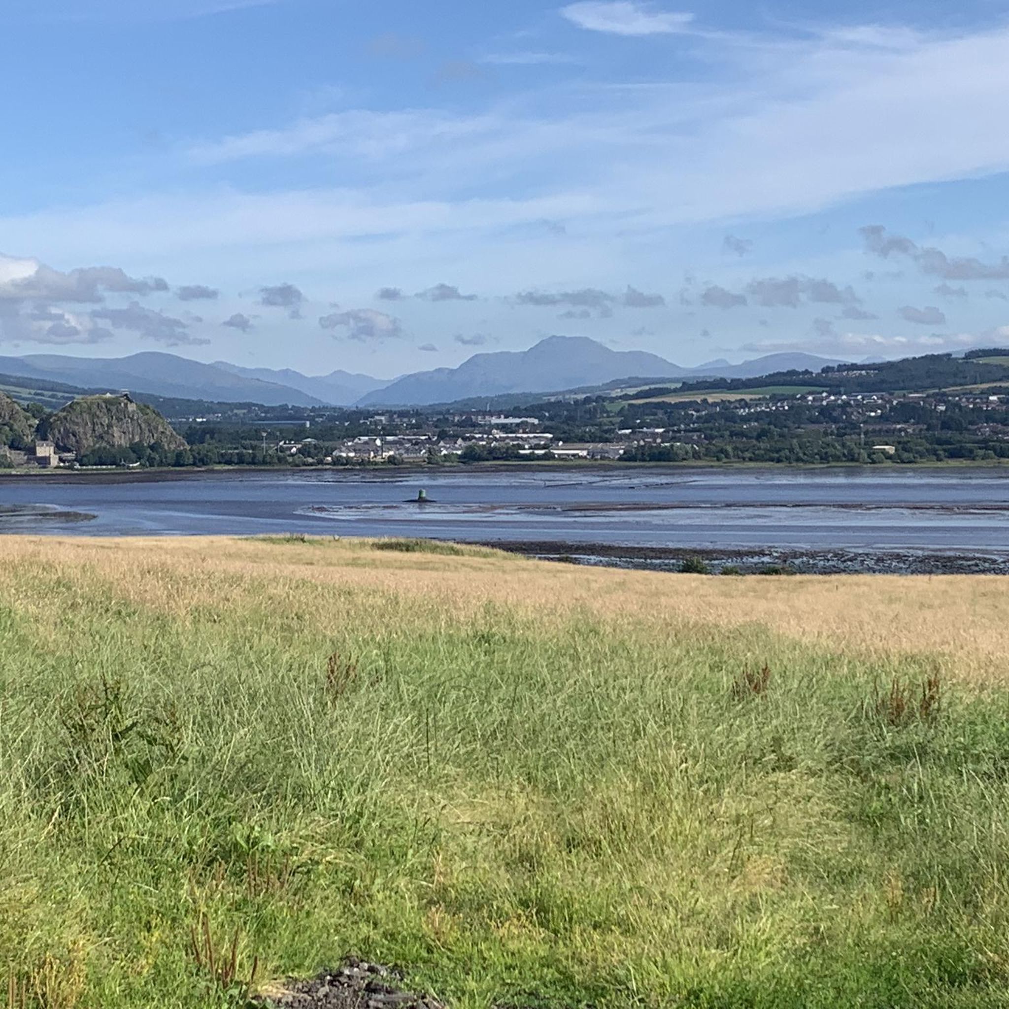
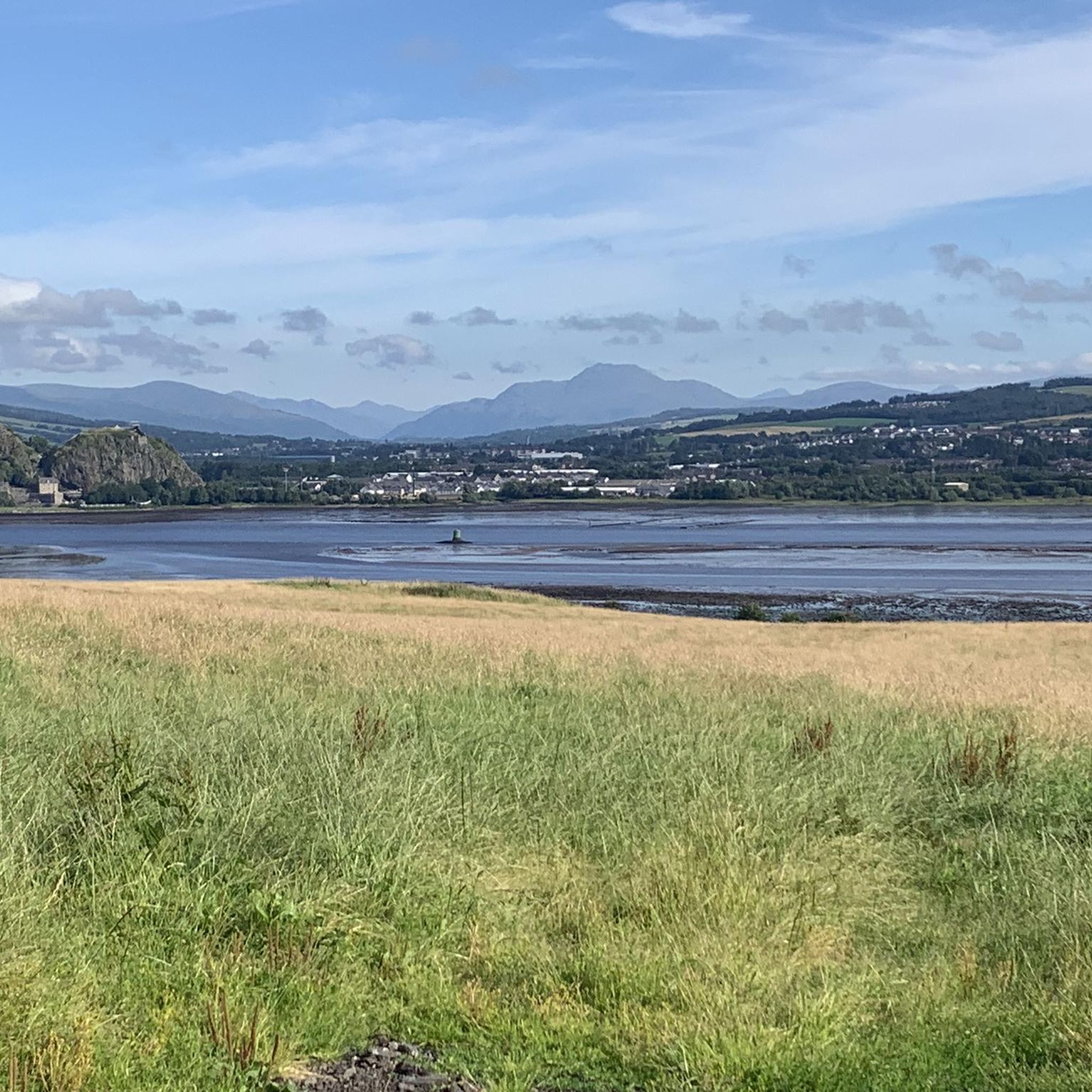
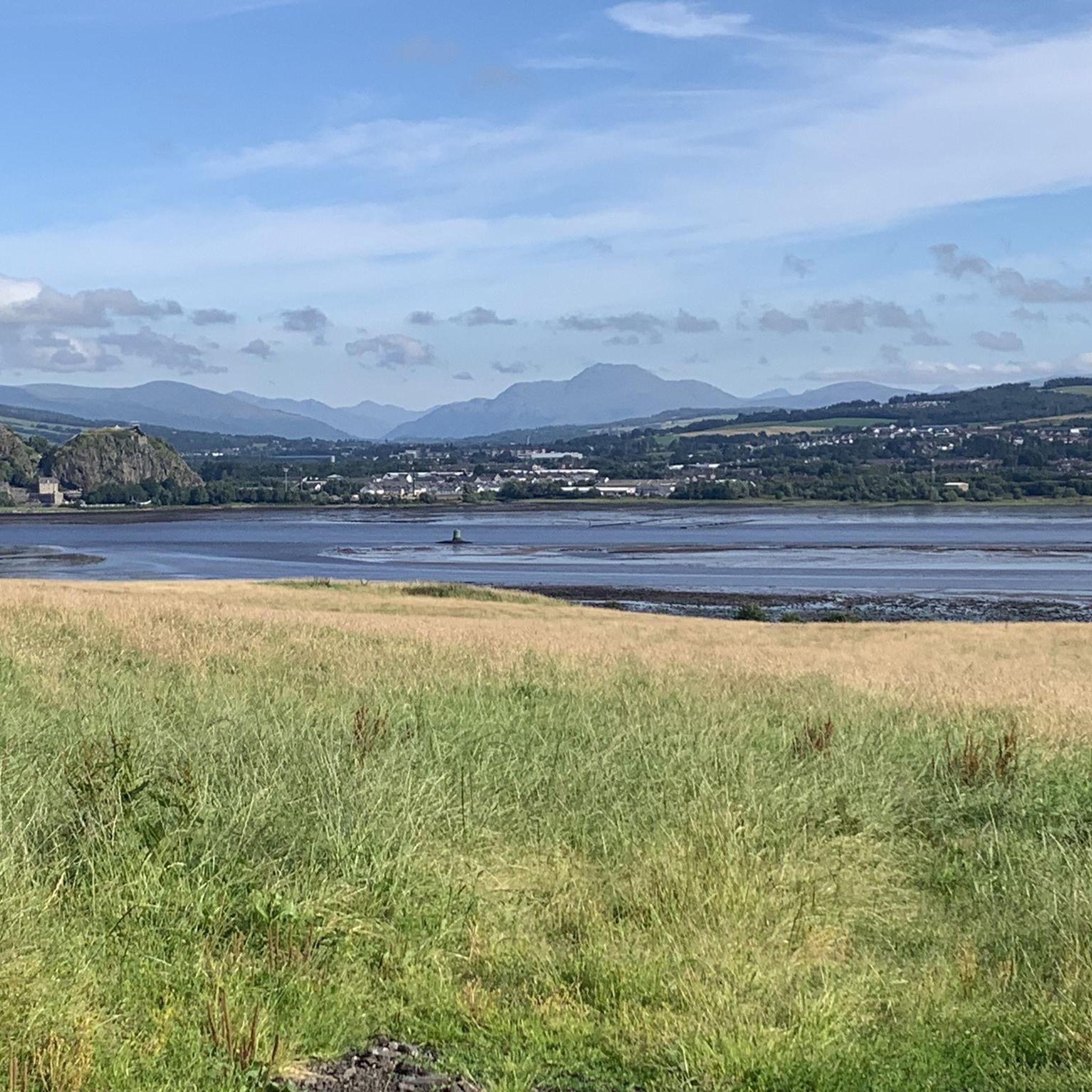
Tips from the Community


Nice to look at from a distance, but rather a sad sight up close
1
0

I took a detour and followed a path marked by black lines in the komoot map. It quickly became too boggy to be rideable.
0
0

Great route into Glasgow city centre. Well marked and maintained surface.
0
0
Lovely riverside path to make fairly quick progress between Balloch on Glasgow.
0
0

Fallen trees (April 2025) across lochside path along Loch Humphrey have been cleared (June 2205).
1
0

Nice here on a good day. Very busy at times. Restaurant here but I wouldn’t count on it as a quick pit stop.
0
0

The John Muir Way stretches for 134 miles or 215 km between Helensburgh on the west coast through Scotland's heartland to Dunbar in the east. You'll find ample information on (the photo of) an information board, attached to this highlight.
0
0
Frequently Asked Questions
How many gravel bike trails are available around Langbank?
There are 12 gravel bike routes around Langbank, offering a variety of experiences for cyclists. The area is particularly known for its more challenging routes, with 11 classified as difficult and 1 as moderate.
Are there gravel bike routes suitable for beginners or families in Langbank?
While Langbank's gravel biking routes are predominantly rated as difficult, there is one moderate route available. For families or beginners, it's advisable to carefully review the route details, including distance and elevation gain, to ensure it matches your comfort and skill level. The region's varied terrain, including riverside paths and woodlands, can offer gentler sections, but dedicated easy routes are not currently listed.
What kind of scenery can I expect on gravel bike trails around Langbank?
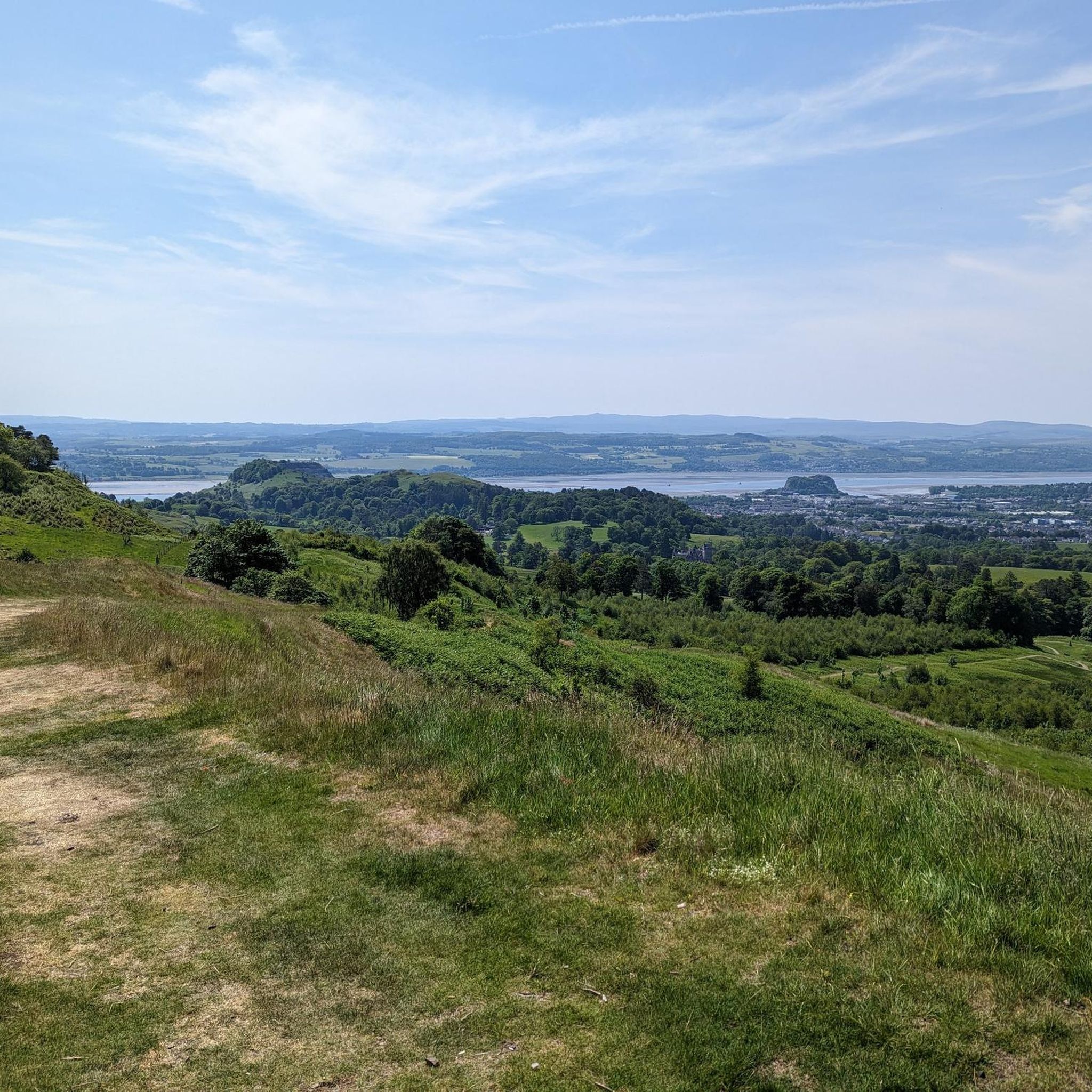
Gravel biking around Langbank offers diverse and picturesque scenery. You'll encounter riverside paths along the River Clyde, providing stunning views across the estuary towards Dumbarton Rock and the Kilpatrick Hills. Routes also lead through undulating hills and extensive woodlands, characteristic of the Scottish Lowlands. Natural water features like Auchendores Reservoir and Finlaystone Burn are often integrated into the routes, adding to the scenic beauty.
Are there any circular gravel bike routes near Langbank?
Yes, many of the gravel bike routes around Langbank are designed as loops. For example, the Glen Fruin Road – Glen Fruin Road loop from Balloch and the River Leven – Balloch Castle loop from Kilpatrick are popular circular options, allowing you to start and finish in the same location.
What are some interesting landmarks or attractions I can see along the gravel bike trails?
Several routes offer views or pass near notable landmarks. You might encounter historic sites like Balloch Castle or Dumbarton Castle. The area also features scenic viewpoints such as Duncolm Summit and views of Loch Lomond. The River Leven – Balloch Castle loop from Kilpatrick specifically explores riverside scenery and includes sections around Balloch Castle.
What do other gravel bikers enjoy most about gravel biking in Langbank?
The area is highly rated by the komoot community, with an average score of 4.8 stars from over 5 reviews. Reviewers often praise the diverse terrain, which includes a mix of riverside paths, rolling hills, and woodlands, providing varied surfaces for gravel cyclists. The access to the broader Clyde Muirshiel Regional Park and the scenic views across the River Clyde are also frequently highlighted.
Is Langbank well-connected by public transport for cyclists?
Langbank has a railway station, making it accessible by train. This can be a convenient option for cyclists looking to reach the area without a car, though it's always advisable to check train operator policies regarding bikes during peak times. From the station, you can often connect to various routes or start your ride directly.
Are there places to park my car if I drive to Langbank for gravel biking?
While specific parking facilities for cyclists are not detailed, Langbank is a village with local amenities. You can typically find parking in or around the village, though it's recommended to check local regulations and availability, especially during busy periods. Some routes might have designated starting points with parking options.
What is the best time of year for gravel biking around Langbank?
Scotland's weather can be unpredictable, but spring (April-May) and autumn (September-October) generally offer pleasant conditions for gravel biking with cooler temperatures and beautiful scenery. Summer (June-August) can also be excellent, though trails might be busier. Winter riding is possible but requires appropriate gear for colder, wetter conditions and shorter daylight hours. Always check the local weather forecast before heading out.
Are there any cafes or pubs near the gravel bike trails in Langbank?
Langbank village itself offers local amenities, including cafes and pubs where you can refuel before or after your ride. Additionally, some routes, particularly those extending towards larger towns like Balloch or Dumbarton, may pass by other establishments. It's a good idea to plan your route and check for specific points of interest like cafes or pubs along the way.
Can I expect to see wildlife while gravel biking in Langbank?
The diverse natural landscape around Langbank, including woodlands, riverside areas, and proximity to Clyde Muirshiel Regional Park, provides habitats for various wildlife. While specific sightings are never guaranteed, you might encounter local bird species, small mammals, and other native fauna, especially on quieter sections of the trails away from populated areas.
What is the longest gravel bike route available near Langbank?
The longest gravel bike route listed is the Glen Fruin Road – Glen Fruin Road loop from Balloch, which spans 50.5 miles (81.3 km) and typically takes around 6 hours and 28 minutes to complete. This difficult route features significant elevation gain through varied terrain.
Most popular attractions around Langbank

Get inspired with the komoot mobile app


Explore more
Browse the best Gravel rides in other regions.
