The best gravel rides around Kirkintilloch
4.0
(39)
497
riders
27
rides
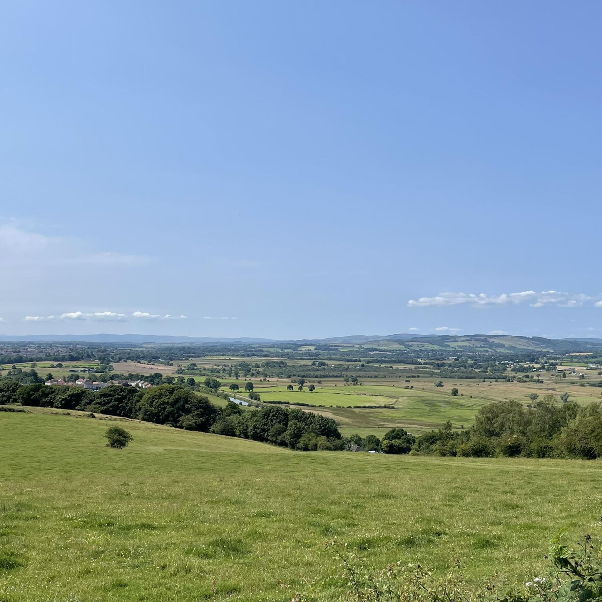
Gravel biking around Kirkintilloch features a landscape characterized by a mix of waterways, woodlands, and open countryside. The region includes several reservoirs and lochs, such as Burncrooks Reservoir and Craigallian Loch, which provide varied terrain for gravel routes. Paths often follow canal systems, like those near Stockingfield Junction Bridge, offering flatter sections. Elevations are generally moderate, with some routes featuring sustained climbs through wooded areas like Mugdock Woods.
Best gravel bike trails around Kirkintilloch
- The most popular gravel bike trail is Burncrooks Reservoir – Craigallian Loch loop from Milngavie, a 39.0 miles (62.8 km) trail that takes 4 hours 22 minutes to complete. This route offers a mix of reservoir-side paths and woodland sections.
- Another top favourite among local gravel bikers is Stockingfield Junction Bridge – Forth and Clyde Canal Towpath loop from Kelvinbridge, a difficult 29.0 miles (46.7 km) path. This trail follows canal towpaths and urban greenways, featuring several bridge crossings.
- Local gravel bikers also love the Trails at Mugdock Country Park – Craigallian Loch loop from Hillfoot, a 21.1 miles (33.9 km) trail leading through Mugdock Woods and past Craigallian Loch, often completed in about 2 hours 27 minutes.
- Gravel biking around Kirkintilloch is defined by lochside paths, canal routes, and dense woodlands, offering a range of options for different ability levels.
- The routes in Kirkintilloch are highly rated by the komoot community with an average score of 4.0 stars from over 30 reviews. More than 400 gravel bikers have used komoot to explore Kirkintilloch's varied terrain.
Last updated: November 3, 2026
4.4
(8)
52
riders
Hard gravel ride. Very good fitness required. Mostly paved surfaces.
4.5
(2)
22
riders
62.8km
04:19
780m
780m
Hard gravel ride. Very good fitness required. Mostly paved surfaces.

3.3
(3)
10
riders
34.0km
02:27
500m
500m
Hard gravel ride. Very good fitness required. Mostly paved surfaces.
5.0
(2)
27
riders
30.4km
01:58
400m
400m
Moderate gravel ride. Good fitness required. Mostly paved surfaces.
23
riders
65.6km
04:26
650m
650m
Hard gravel ride. Very good fitness required. Mostly paved surfaces.
Get access to more routes and recommendations from other explorers.
Already have an account?
Our route recommendations are based on thousands of hikes, rides, and runs completed by other people on komoot.
Start today with a free account
Your next adventure awaits.
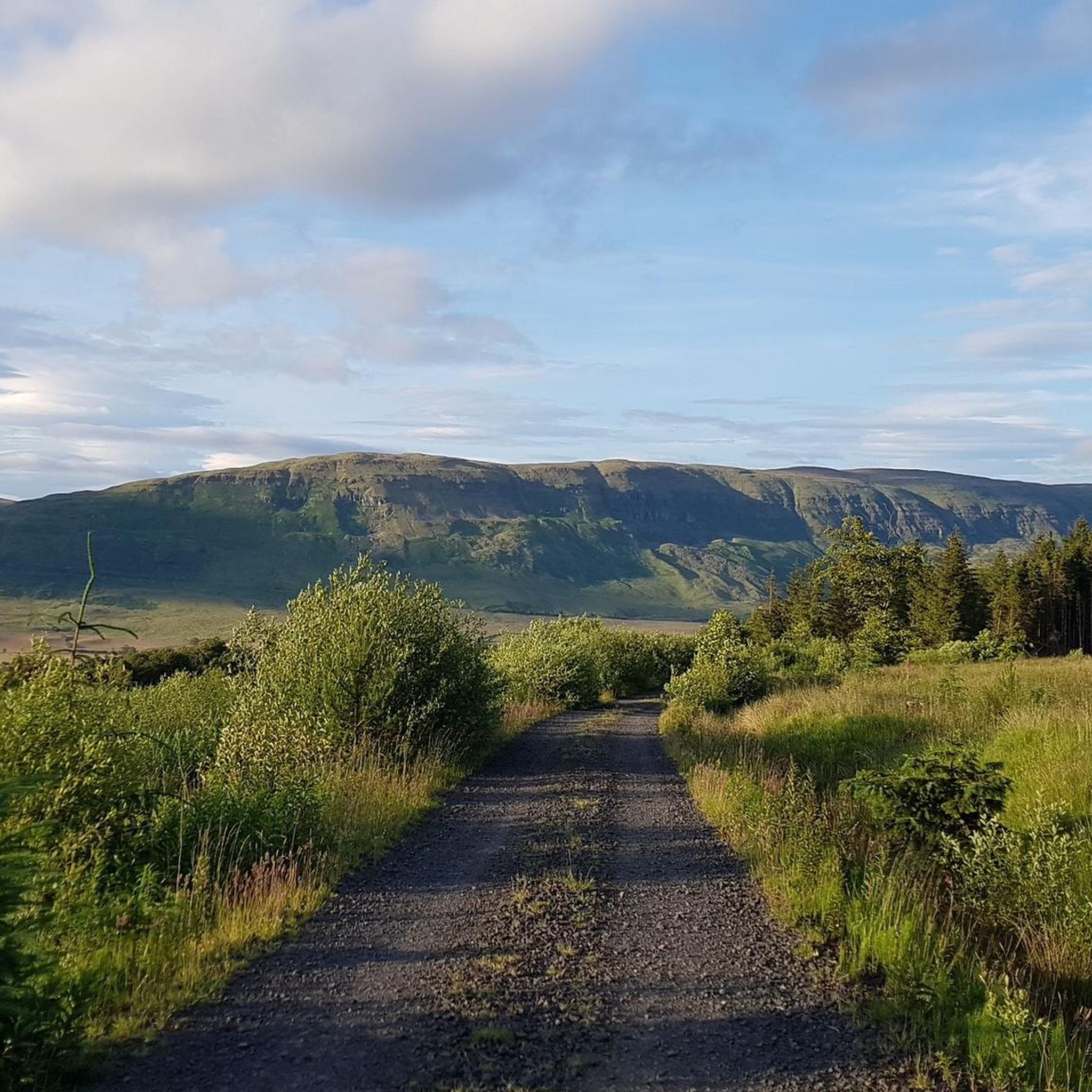
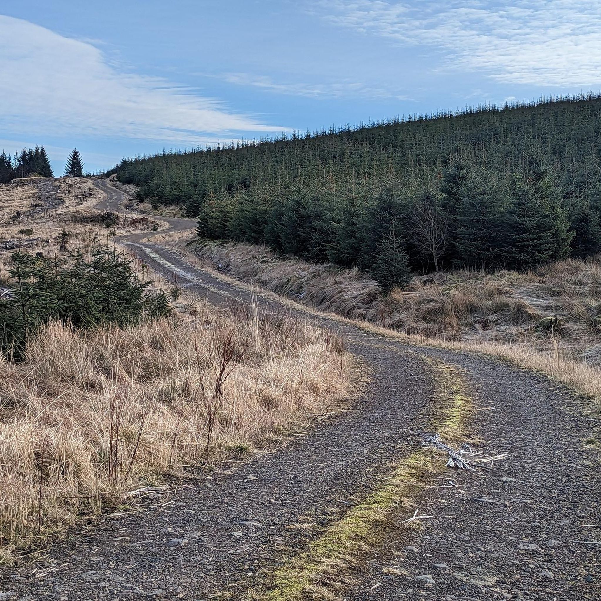
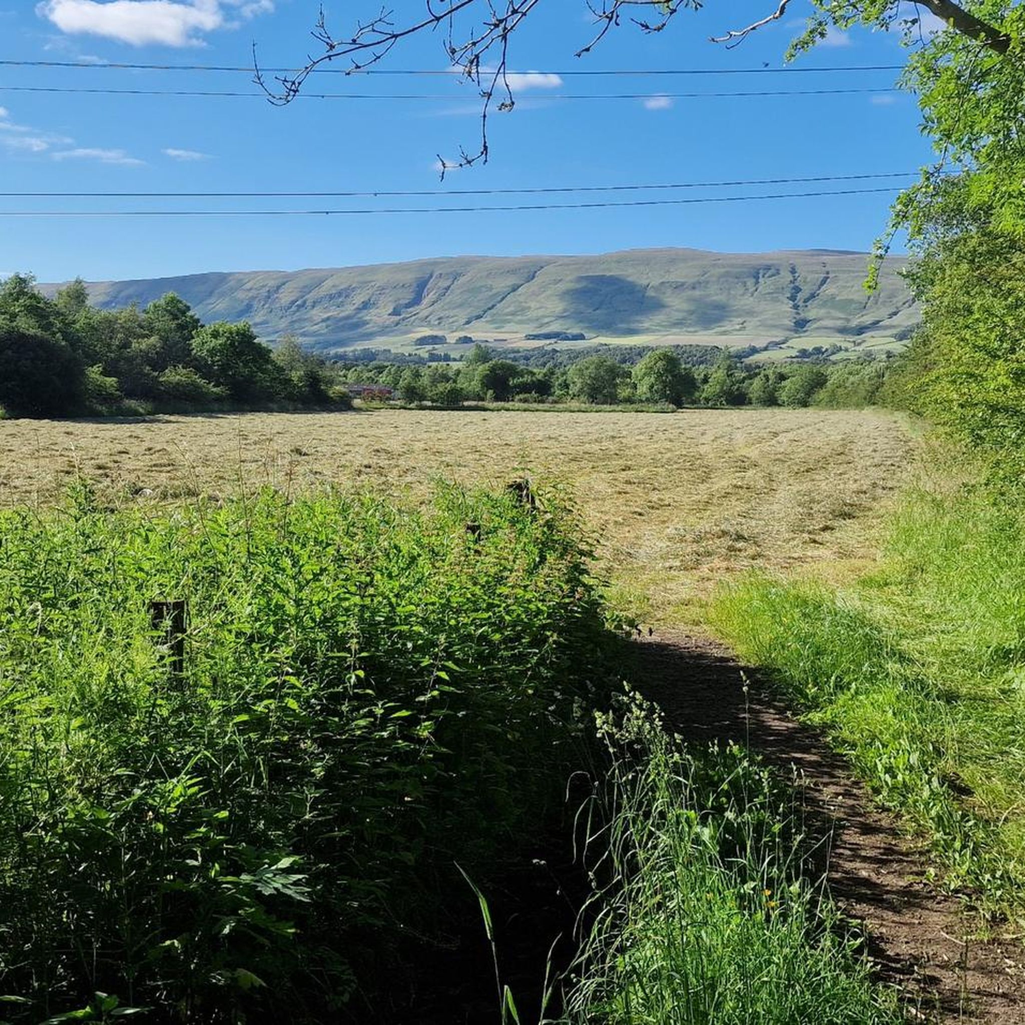
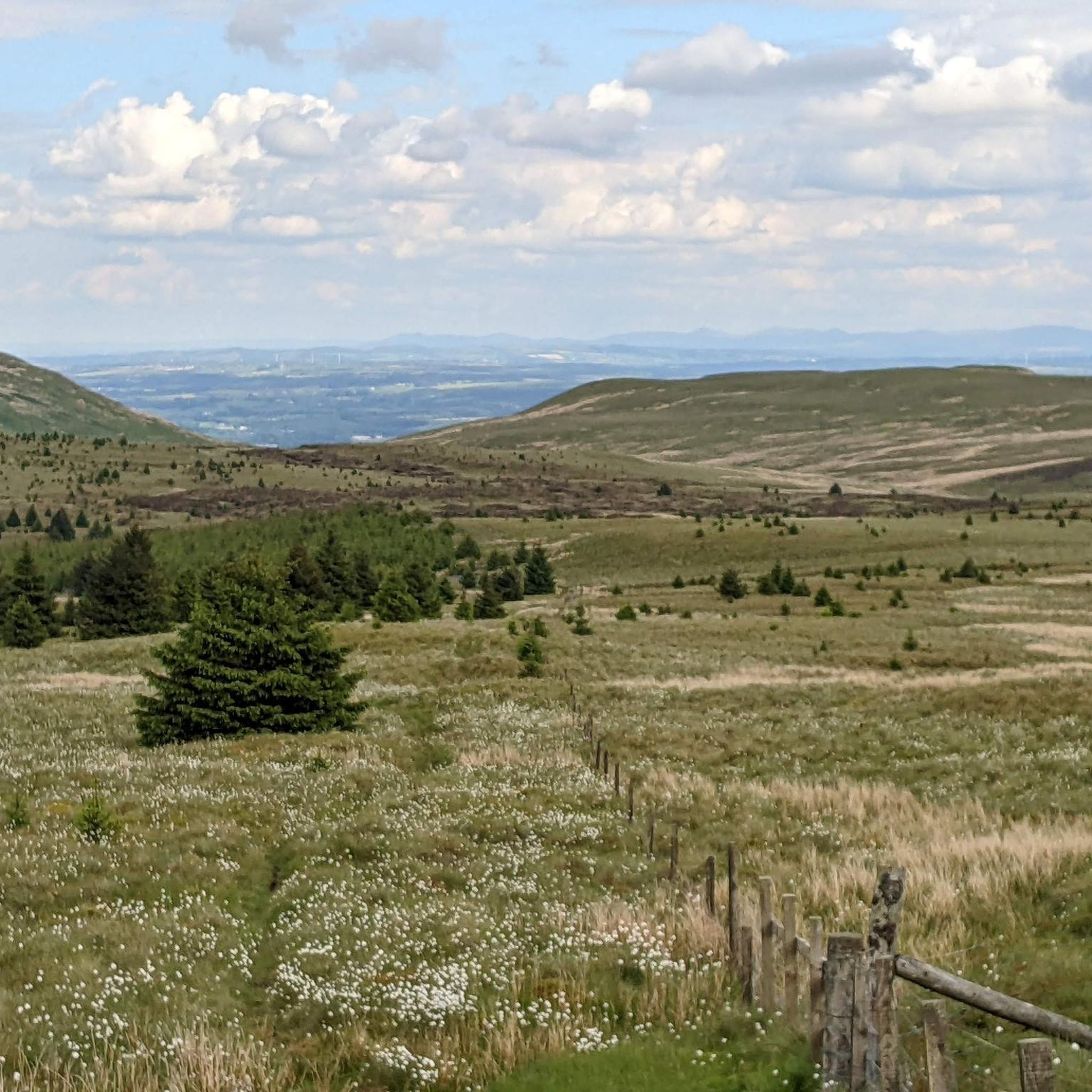
Tips from the Community

Craigallian Loch lies idyllically between green hills at the start of the West Highland Way. The small lake is surrounded by moorland and pasture landscape and already offers a taste of the Scottish scenery.
5
0

One of the most interesting bridges I've ever seen—in my opinion, an architectural masterpiece, magnificent..👍👍
1
0
Cycling along a canal has always been our thing... The old towpaths are being integrated into the cycle paths, which for us cyclists means always cycling along the water.
0
0

The ruined remains of Lennox Castle. Originally built in ~1840 as a private property it was sold to The Glasgow Corporation (predecessor to the City Council) in 1927 and turned into a hospital for those with learning difficulties. In the 1940's-60's it also operated as a maternity home, and was the birth place of singer Lulu. It closed in 2002 and unfortunately was subject to a fire in 2008 which left it in its current state.
1
0


The Forth and Clyde Canal was constructed in 1790. It was successful initially but closed in the 1960s. Today it's a leisure destination with a brilliant towpath making an ideal cycling outing.
1
0

Stockingfield Junction is a spot along the canal between Maryhill and Ruchill in Glasgow, Scotland. It first opened back in 1777, closed in 1963, and was later restored and reopened in 2022. Originally, it served as a terminus before becoming the junction for the Port Dundas branch off the main line of the Forth and Clyde Canal from 1777.
4
1

Frequently Asked Questions
How many gravel bike trails are available around Kirkintilloch?
There are over 30 gravel bike trails in the Kirkintilloch area, offering a diverse range of experiences from moderate to difficult. This includes routes through woodlands, along canals, and past reservoirs.
What is the best time of year for gravel biking in Kirkintilloch?
Spring and autumn generally offer the most pleasant conditions for gravel biking in Kirkintilloch, with milder temperatures and beautiful scenery. While routes are accessible year-round, winter can bring colder, wetter weather, and some paths may be muddy or icy, especially in wooded areas like Mugdock Woods.
Are there any family-friendly gravel bike routes in Kirkintilloch?
Yes, Kirkintilloch offers some easier routes suitable for families. While specific 'easy' routes are fewer, many canal towpaths provide flatter, less technical sections. For a moderate option that could be adapted, consider parts of the Burncrooks Reservoir – Craigallian Loch loop from Milngavie, which features reservoir-side paths.
Where can I find parking for gravel biking in Kirkintilloch?
Many routes around Kirkintilloch start from towns like Milngavie or Hillfoot, which typically offer public parking facilities. For example, routes exploring Mugdock Woods or the reservoirs often have starting points with nearby parking options. It's advisable to check specific route details on komoot for recommended parking locations.
Are there any circular gravel bike routes in the Kirkintilloch area?
Yes, many of the gravel bike trails around Kirkintilloch are designed as circular loops. Popular options include the Mugdock Woods – Craigallian Loch loop from Hillfoot and the Burncrooks Reservoir – Craigallian Loch loop from Milngavie, allowing you to start and finish at the same point.
What kind of views or landmarks can I expect along the gravel trails?
The gravel trails around Kirkintilloch offer a mix of natural beauty and historical interest. You can expect views of various lochs and reservoirs such as Lochend Loch and Hogganfield Loch. Routes also pass by significant landmarks like Mugdock Castle and sections of the Forth and Clyde Canal Towpath.
Are there any advanced or difficult gravel routes near Kirkintilloch?
Yes, Kirkintilloch has several challenging gravel routes. For experienced riders, the Stockingfield Junction Bridge – Stockingfield Bridge loop from Kelvinbridge is a difficult 46.5 km path following canal towpaths and urban greenways. Another demanding option is the longer Burncrooks Reservoir – Craigallian Loch loop from Milngavie, which covers over 60 km with significant elevation.
What do other gravel bikers enjoy most about the trails in Kirkintilloch?
The area is highly rated by the komoot community, with an average score of 4.1 stars. Reviewers often praise the varied terrain, from tranquil lochside paths and dense woodlands to the unique experience of riding along canal systems. The mix of moderate and difficult routes also appeals to a wide range of abilities.
Can I access gravel bike trails in Kirkintilloch using public transport?
Many starting points for gravel bike routes around Kirkintilloch are accessible by train, particularly those originating from towns like Milngavie or Hillfoot, which have railway stations. This allows for convenient access to trails without needing a car, especially for routes heading into Mugdock Woods or towards the reservoirs.
Are there cafes or pubs along the gravel bike routes for refreshments?
While specific cafes or pubs directly on every trail may vary, many routes pass through or near towns and villages where refreshments are available. For example, routes starting or ending in Milngavie or Hillfoot will have options for food and drink. It's always a good idea to check the route details or a map for amenities along your chosen path.
What are the typical conditions for gravel biking in Kirkintilloch during winter?
Winter conditions in Kirkintilloch can be challenging, with colder temperatures, increased rainfall, and shorter daylight hours. Trails, especially in wooded or low-lying areas, can become muddy, waterlogged, or even icy. It's recommended to use appropriate tires, wear warm and waterproof clothing, and check local weather forecasts before heading out.
Are there any less-known or 'hidden gem' gravel bike trails in Kirkintilloch?
While many popular routes are well-documented, exploring the extensive network of paths connecting the various lochs and canal systems can reveal quieter sections. For instance, paths around The Claypits Local Nature Reserve or lesser-used sections of the Forth and Clyde Canal might offer a more secluded experience away from the busiest trails.
Most popular routes around Kirkintilloch
Most popular attractions around Kirkintilloch

Get inspired with the komoot mobile app


Explore more
Browse the best Gravel rides in other regions.
