The best gravel rides around Fintray
4.8
(6)
68
riders
13
rides
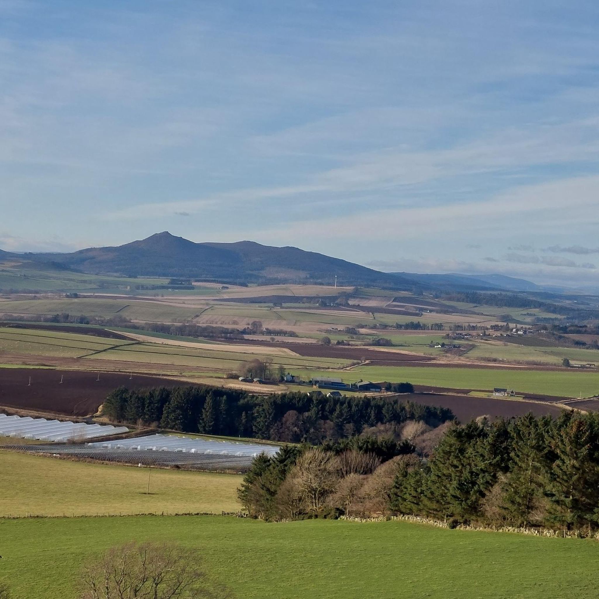
Gravel biking around Fintray, located in Aberdeenshire, Scotland, offers diverse landscapes and a network of trails suitable for various skill levels. The region is characterized by varied topography, including hills like Tyrebagger Hill, glens, and river valleys. Riders can expect a mix of forest tracks, old drovers' roads, and estate paths, often combining paved and unpaved surfaces. The terrain can include significant climbing, with some routes featuring short, steep ascents.
Best gravel bike trails around Fintray
- The most popular gravel…
Last updated: July 3, 2026
5.0
(1)
27
riders
45.2km
03:12
300m
300m
Moderate gravel ride. Good fitness required. Mostly paved surfaces. Suitable for all skill levels.
5.0
(2)
8
riders
66.5km
04:34
390m
390m
Moderate gravel ride. Good fitness required. Mostly paved surfaces. Suitable for all skill levels.

Sign up for free
5.0
(1)
5
riders
Hard gravel ride. Very good fitness required. Mostly paved surfaces. Suitable for all skill levels.
4
riders
61.8km
04:03
640m
640m
Hard gravel ride. Very good fitness required. Mostly paved surfaces. Suitable for all skill levels.
6
riders
26.8km
01:56
340m
340m
Moderate gravel ride. Good fitness required. Mostly paved surfaces. Suitable for all skill levels.
Get access to more routes and recommendations from other explorers.
Sign up for free
Already have an account?
Our route recommendations are based on thousands of hikes, rides, and runs completed by other people on komoot.
Start today with a free account
Your next adventure awaits.
Login or Signup
Tips from the Community

A blue rated route. Great to develop your skills. You can easily go around a few times and work on features.
0
0

perfect for beginners like myself and wife, we would have gone further if we had more time👌
0
0

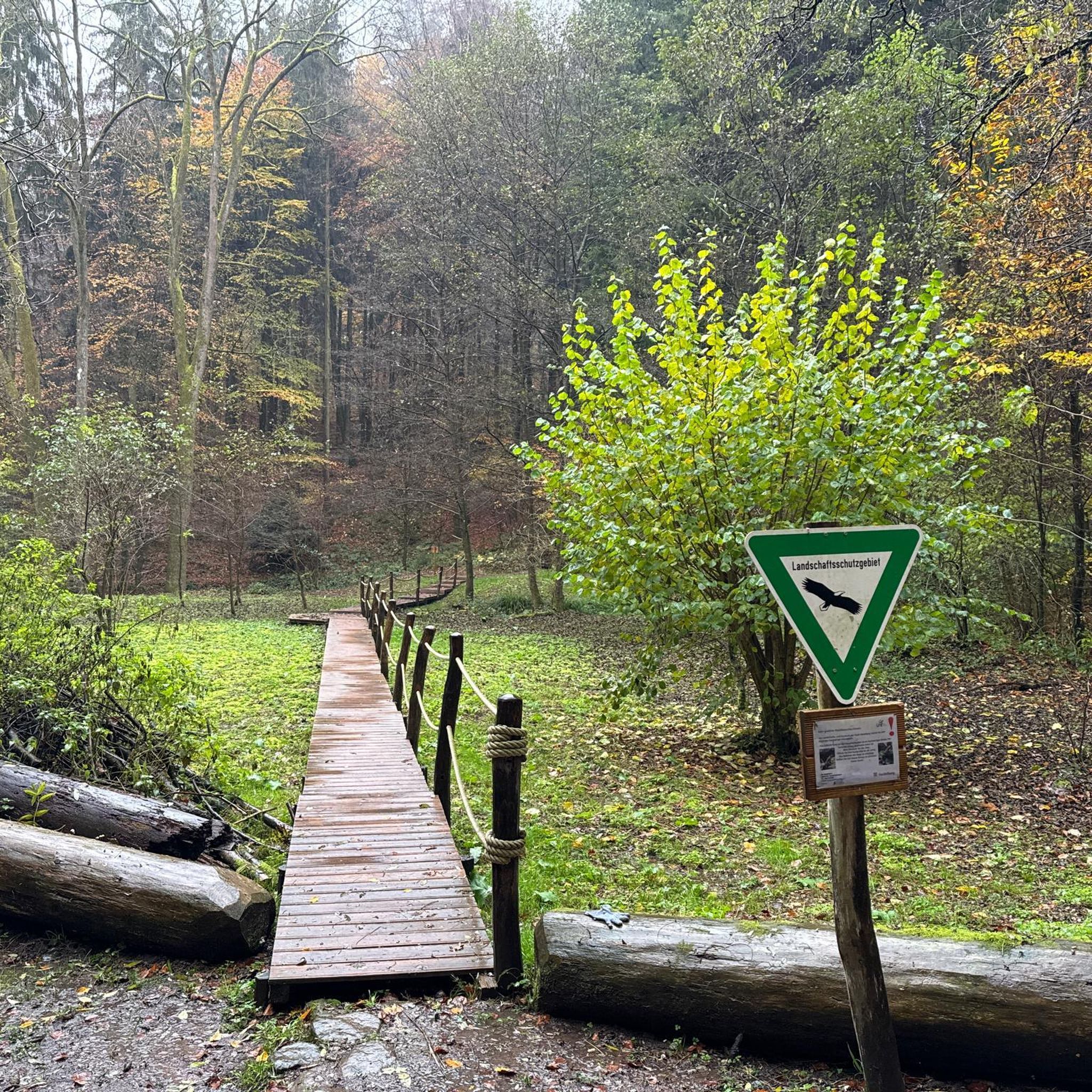
The surrounding forrest has now been cut down (spring 2025). No longer an enchanted place it used to be. Path leading to it from the Turnpike trail is badly damaged by forest operations and the whole area is a one big wasteland of scarred soil, tree stumps and branch debris
1
0

One of the better preserved of the many Neolithic recumbent type stone circles in northeast Scotland
0
0
The Formartine and Buchan railway line connects Dyce in Aberdeen to Fraserburgh and Peterhead. It's a popular path with cyclists, joggers, dog walkers, horse riders etc. Some sections are nice and wide, while others are more single track. There are a number of gates on the route, which are quite narrow. The path is slowly being improved in sections to facilitate better access.
0
0
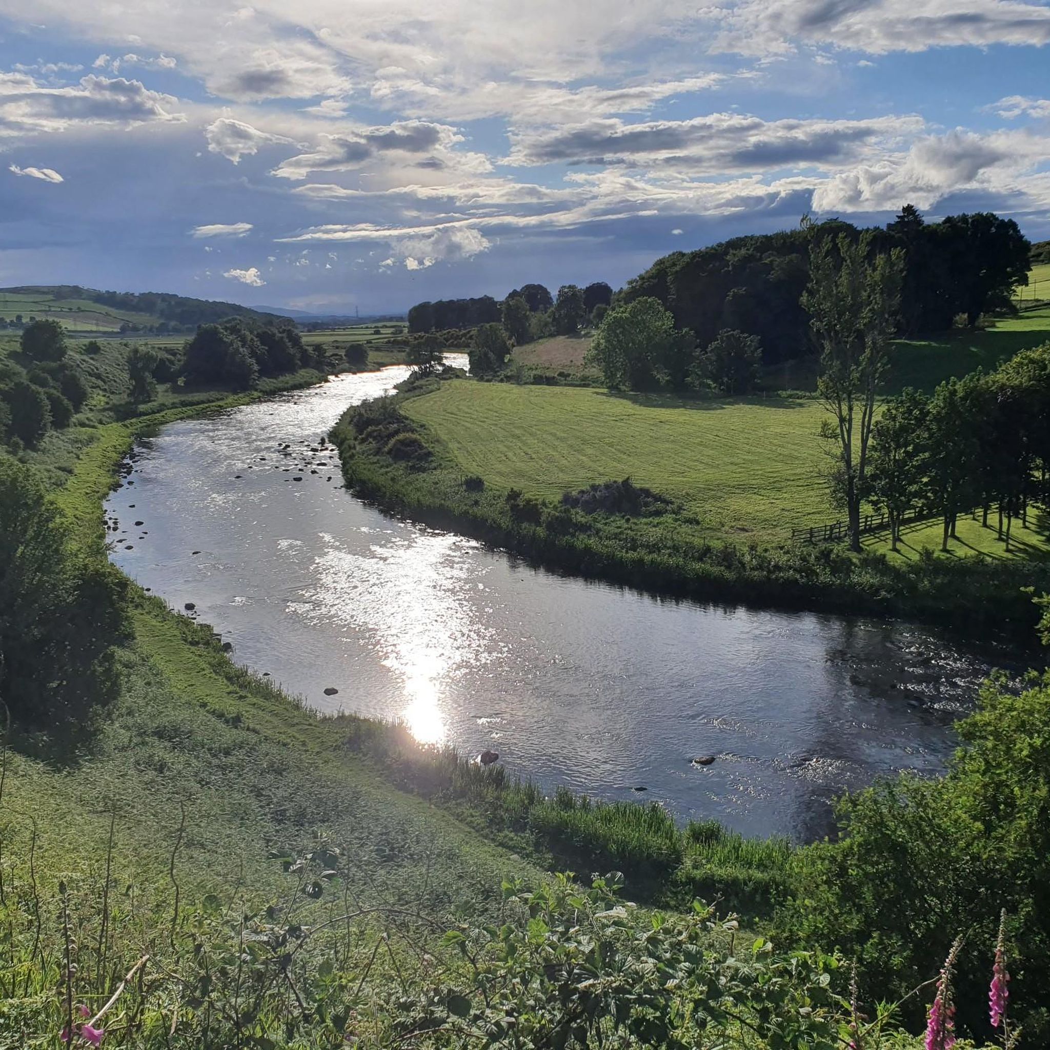
The Formartine and Buchan cycle and walking trail crosses the River Don here. You can see a gauging station just upstream, past the power lines.
0
0

Maud, formerly known as Brucklay is a quaint village that once served as a crucial junction for the Fraserburgh and Peterhead railway lines. The station, a lasting testament to its historical significance, now houses the Formartine & Buchan Railway Museum. Note that the museum operates seasonally during the summer, so it's advisable to check the opening times before planning your visit.
0
0
Free to visit. An excellent stone circle with views to Bennachie and Inverurie. There is a nice woodland walk here too. Also easy to reach by bycicle. If the little car park is full, there is another one just down the road at Newseat community woodland.
0
0
Frequently Asked Questions
How many gravel bike trails are available around Fintray?
There are over 15 gravel bike trails around Fintray, offering a range of experiences from moderate to difficult. These routes explore diverse landscapes, including forest tracks, old drovers' roads, and estate paths.
Are there gravel routes suitable for beginners or families in Fintray?
Yes, while many routes are moderate to difficult, there are options for beginners. The region offers easier rides suitable for any fitness level, often combining paved and unpaved surfaces. These routes are generally up to 2 hours long with around 1,000 feet of elevation gain.
What kind of terrain can I expect on gravel bike trails near Fintray?
Gravel biking around Fintray features varied topography, including a mix of forest tracks, old drovers' roads, and estate paths. You'll encounter both paved and unpaved surfaces, with some routes including significant climbing and short, steep ascents up to 10-20% grades.
What are some popular gravel bike loops in the Fintray area?
Local gravel bikers enjoy routes like the Logierieve Wood – River Don at Dyce loop from Dyce, which is a moderate 28.1-mile trail exploring woodland and riverside paths. Another favorite is the Tyrebagger Hill Viewing Tower – Kirkhill Fun Park loop from Dyce, a 17.0-mile route through the area around Tyrebagger Hill.
Are there any challenging gravel routes for experienced riders?
Absolutely. For experienced riders seeking a challenge, the Logierieve Wood – Platform 5 Café & Sweet Shop loop from Newmachar is a difficult 41.3-mile path offering a longer, more demanding experience through varied terrain. Another difficult option is the East Aquhorthies Stone Circle – Bennachie Visitor Centre loop from East Aquhorthies Stone Circle, which features significant elevation gain.
What natural attractions or scenic viewpoints can I find along the gravel routes?
The Fintray area is rich in natural beauty. While riding, you might encounter views of Tyrebagger Hill, and the broader region offers mountainous landscapes with excellent viewpoints. A notable natural attraction nearby is the spectacular Loup of Fintray waterfall, a 94-foot cascade on the River Endrick, particularly impressive after rain. You can learn more about it on Atlas Obscura.
Are there any historical sites or landmarks to explore near the gravel trails?
Yes, the region offers several historical sites. You can visit the East Aquhorthies Stone Circle, a fascinating ancient monument. Other nearby attractions include the ruins of Tolquhon Castle and the impressive Castle Fraser.
What is the best time of year for gravel biking in Fintray?
The Scottish climate means conditions can vary. Spring and summer generally offer milder weather and longer daylight hours, making them ideal. However, the Loup of Fintray waterfall is particularly impressive after heavy rain or snow, which can occur at any time of year.
What do other gravel bikers enjoy most about Fintray's trails?
The gravel biking routes around Fintray are highly rated by the komoot community, with an average score of 5.0 stars. Riders often praise the diverse landscapes, the mix of forest tracks and old drovers' roads, and the variety of routes suitable for different skill levels.
Are there options for longer gravel rides around Fintray?
Yes, for those looking for longer distances, routes like the Logierieve Wood – Platform 5 Café & Sweet Shop loop from Newmachar cover over 40 miles (66.5 km). Another extensive option is the Bennachie Visitor Centre – View of Pitfichie Hill loop from Kintore, which is over 60 km long.
Where can I find parking for gravel bike trails near Fintray?
Many routes start from villages or established trailheads where parking is typically available. For example, routes often begin near Dyce or Newmachar, which usually have designated parking areas. Always check specific route details for the most convenient starting points and parking information.
Are there any cafes or places to refuel near the gravel bike trails?
While specific cafes directly on every trail are not guaranteed, routes like the Logierieve Wood – Platform 5 Café & Sweet Shop loop from Newmachar indicate that amenities like cafes can be found in nearby towns and villages such as Newmachar or Dyce, making them good spots for a break.
Most popular attractions around Fintray

Get inspired with the komoot mobile app


Explore more
Browse the best Gravel rides in other regions.
