The best gravel rides in Rüthnicker Heide
5.0
(1)
23
riders
3
rides
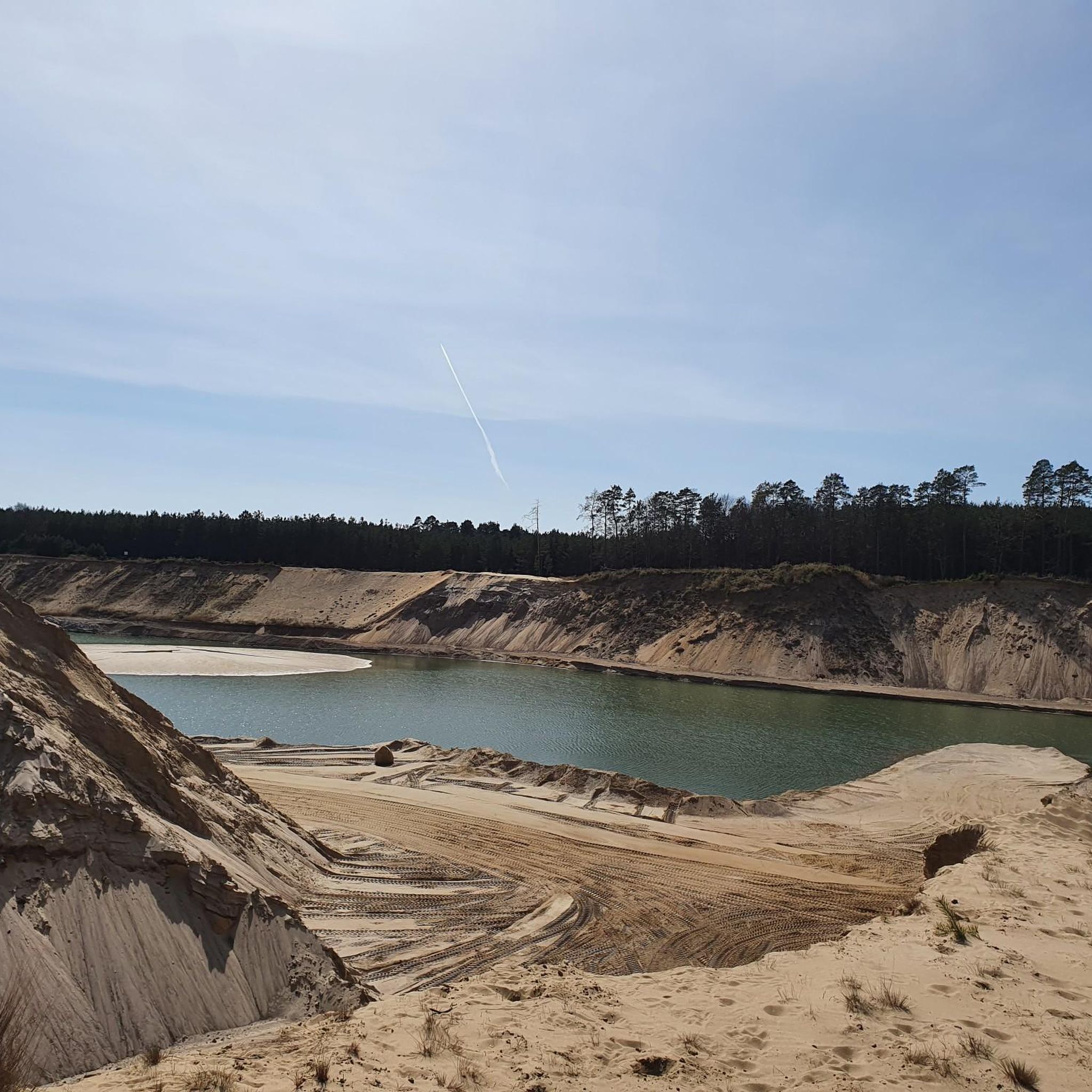
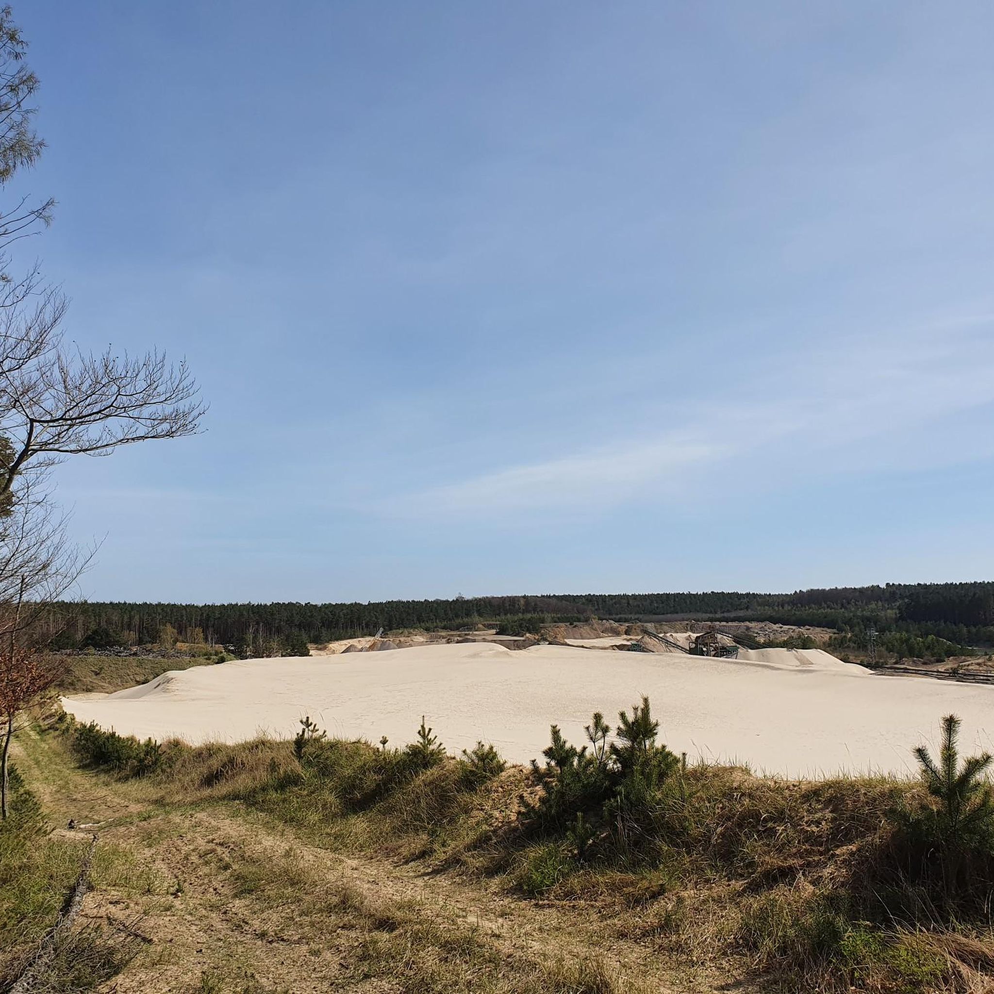
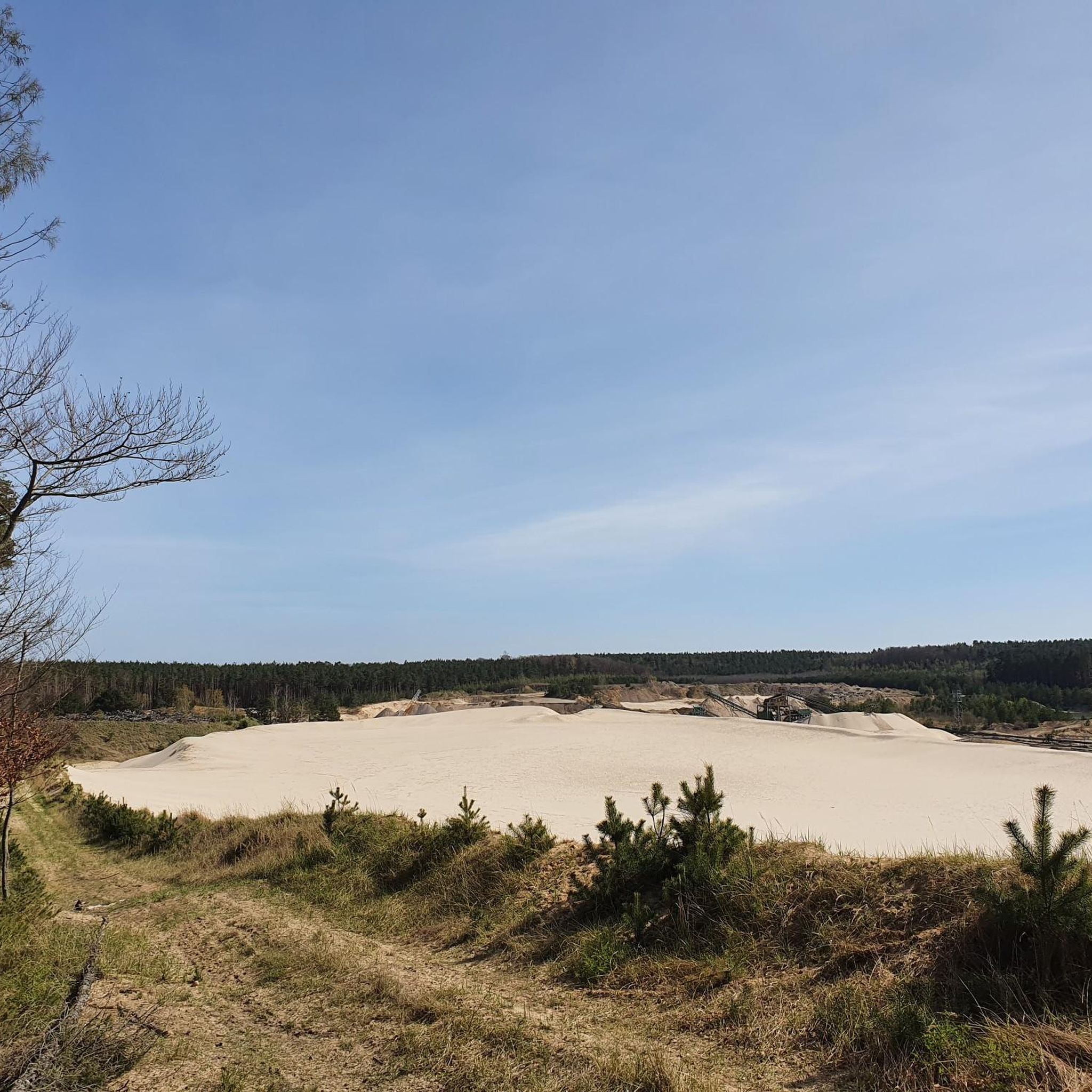
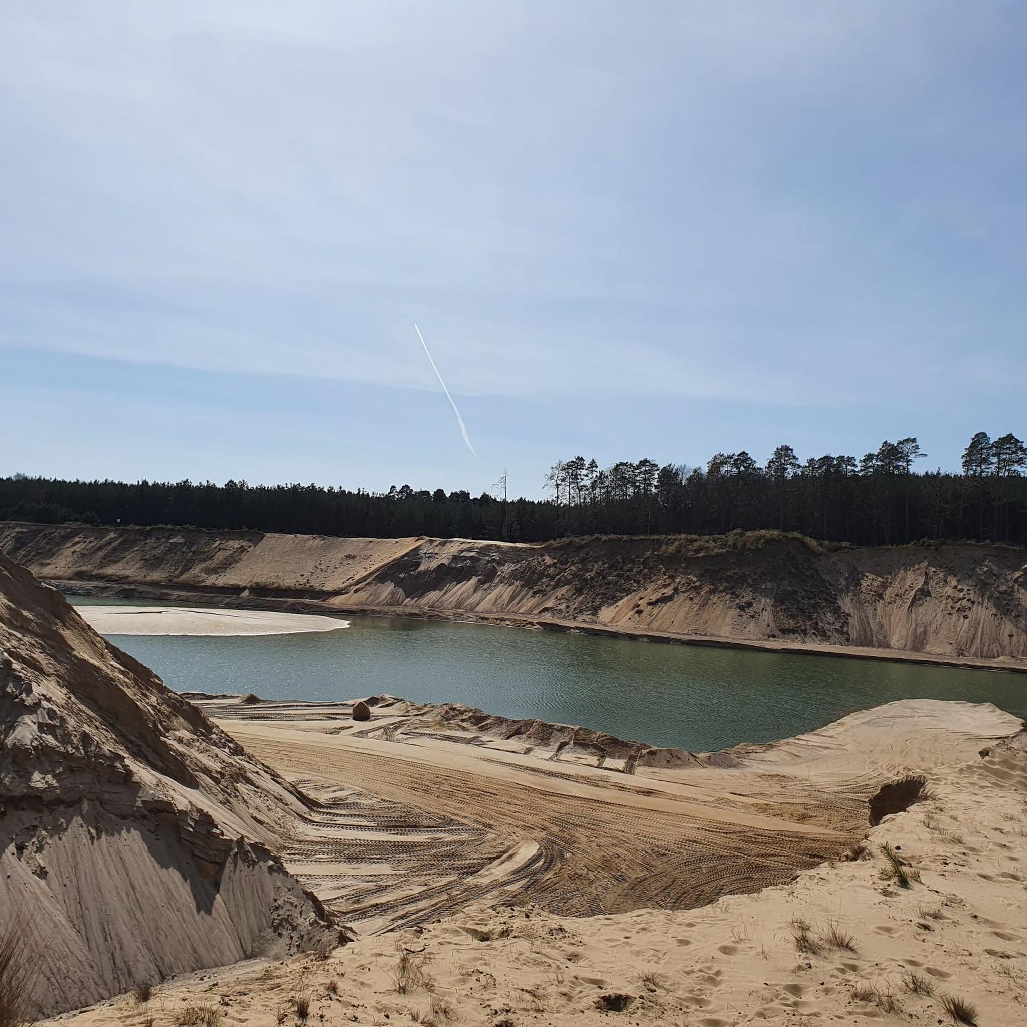
Gravel bike trails in Rüthnicker Heide traverse a landscape defined by its heathlands, numerous lakes, and river systems, including the Rhin River. The region features extensive forests, open heath landscapes, and dry sand grasslands, providing varied surfaces for gravel biking. Elevation changes are generally moderate, with the highest point reaching 74.7 meters above sea level. This mix of dense woodlands, open heath, and subtle elevation changes offers a dynamic environment for gravel bikers seeking diverse terrain.
Best gravel bike trails…
Last updated: October 6, 2026
4.5
(2)
2
riders
70.9km
04:06
250m
250m
Moderate gravel ride. Good fitness required. Mostly paved surfaces. Suitable for all skill levels.
5.0
(1)
21
riders
71.4km
04:34
390m
390m
Hard gravel ride. Good fitness required. You may need to push your bike for some segments of this route.

2
riders
53.6km
03:22
150m
150m
Moderate gravel ride. Good fitness required. Mostly paved surfaces. Suitable for all skill levels.
Our route recommendations are based on thousands of hikes, rides, and runs completed by other people on komoot.
Start today with a free account
Your next adventure awaits.
Tips from the Community


Most of the lakes in the Ruppiner Land region are worth a visit. They are surrounded by pine forests and, in good weather, reflect the typical North German sky.
0
0

Very nice place to linger, with a magical view over the Stechlin.
0
0

Castle tours are generally possible on Wednesdays outside of school holidays. The annual Wustrau Lake Festival at the castle's lakeside stage also invites you to discover the knight's seat. The grave of the hussar general is located on the north side of the Wustrau Church. The Brandenburg-Prussia Museum today bears witness to the region's history.
4
0
The 129-kilometer-long Rhin is a right tributary of the Havel in Brandenburg and, with a catchment area of 1,780 km², the third largest.
3
0
This is the way to Lake Molchow. A quiet body of water with some lovely swimming spots.
3
0
There are hardly any examples of this left in Brandenburg. A little Dutch style.
3
0
The river rises in the Ostprignitz-Ruppin district, about 8.5 kilometers west of Rheinsberg. Its source lies on the southern edge of the Mecklenburg Lake District in the Rheinsberg Lake District, just a few hundred meters west of the small settlement of Wallitz. From there, the Rhin flows through several small and large lakes (Bramin, Kagar, Dollgow, Schlaborn, Rheinsberger, and Grienericksee) to Rheinsberg. This more traditional version is contradicted by scientific research, according to which the Rhin rises in Lake Twern, about twelve kilometers northwest of Rheinsberg, and flows via Lake Rochow, Lake Giesenschlag, Lake Zootzen, and Lake Tietzow into Lake Schlaborn.
3
0
Frequently Asked Questions
How many gravel bike trails are available in Rüthnicker Heide?
There are 6 gravel bike routes in Rüthnicker Heide, offering a mix of moderate and difficult options to explore the region's heathlands, lakes, and river systems.
Are there gravel bike routes suitable for beginners in Rüthnicker Heide?
While there are no routes specifically graded as 'easy', several moderate trails are suitable for riders with some gravel biking experience. For instance, the Altfriesack Lock – Lake Ruppin loop from Wustrau-Radensleben is a moderate 30.9 km route that can be completed in about 2 hours 6 minutes, offering a good introduction to the area's terrain.
What are the options for advanced gravel bikers in Rüthnicker Heide?
Advanced riders will find challenging routes such as the Gudelack Lake in Lindow – Lake Stechlin loop from Herzberg (Mark). This difficult 74.9 km path explores the areas around Gudelack Lake and Lake Stechlin, featuring mixed terrain and significant distances.
Are there any circular gravel bike routes in Rüthnicker Heide?
Yes, all the gravel bike routes in Rüthnicker Heide are designed as loops. For example, the popular Bolten Mill – View of the Rhin River loop from Herzberg (Mark) is a 59.2 km circular trail offering views of the Rhin River.
What is the best time of year for gravel biking in Rüthnicker Heide?
Spring and autumn generally offer the most pleasant conditions for gravel biking in Rüthnicker Heide, with mild temperatures and beautiful scenery. Summers can be warm, and winters may bring cold temperatures, snow, or ice, which can affect trail conditions.
What kind of terrain can I expect on gravel bike trails in Rüthnicker Heide?
The terrain in Rüthnicker Heide is diverse, characterized by heathlands, forested sections, and paths along numerous lakes and river systems like the Rhin. You can expect a mix of gravel, compacted earth, and some paved sections, with generally moderate elevation changes.
What are some interesting landmarks or sights along the gravel bike routes?
Along the gravel routes, you can discover various points of interest. Consider exploring the Abandoned NVA bunker and ruins or the Ruins of the Former Shooting Range Rüthnicker Heide for a glimpse into the region's history. There are also practical stops like the Wooden Forest Shelter.
Where can I find parking for gravel biking in Rüthnicker Heide?
Parking is typically available in the towns and villages that serve as starting points for the routes, such as Herzberg (Mark) or Wustrau-Radensleben. Look for designated parking areas or public parking spaces within these communities.
Are there any cafes or places to eat near the gravel bike trails?
Small towns and villages throughout the Rüthnicker Heide region, particularly those along the routes or at starting points, often have local cafes, bakeries, or restaurants where you can refuel. It's advisable to check opening hours, especially outside of peak season.
What do other gravel bikers say about the trails in Rüthnicker Heide?
The gravel bike trails in Rüthnicker Heide are highly rated by the komoot community, with an average score of 4.75 stars from 3 reviews. Riders often praise the varied terrain, the scenic views of the lakes and rivers, and the overall natural beauty of the heathlands.
Is public transport an option to access gravel bike trails in Rüthnicker Heide?
Public transport access can vary. Regional train lines and bus services connect some of the larger towns in and around Rüthnicker Heide. It's recommended to check local public transport schedules and bike carriage policies for specific routes and starting points like Herzberg (Mark) or Wustrau-Radensleben.
What should I bring for a gravel bike ride in Rüthnicker Heide?
Given the varied terrain and potential distances, it's advisable to bring sufficient water, snacks, a repair kit (including spare tubes and a pump), and appropriate clothing for the weather conditions. A GPS device or a loaded komoot tour on your phone is also recommended for navigation.
Most popular routes in Rüthnicker Heide
Most popular attractions in Rüthnicker Heide

Get inspired with the komoot mobile app


Explore more
Browse the best Gravel rides in other regions.
