The best gravel rides in Frammersbacher Forst
4.5
(62)
234
riders
39
rides
Gravel biking in Frammersbacher Forst offers a diverse landscape of dense woodlands and rolling hills within the Spessart Nature Park. The region features varied topography with challenging climbs and scenic descents, alongside flatter sections often found along river valleys. Historic routes, such as ancient trade paths, provide natural, unpaved surfaces suitable for gravel bikes. The highest elevation, Eichenberg at 544 meters, adds rewarding climbs to the experience.
Best gravel bike trails in Frammersbacher Forst
- The most popular gravel bike trail…
Last updated: October 2, 2026
3
riders
41.6km
03:08
700m
700m
Hard gravel ride. Very good fitness required. Mostly paved surfaces. Suitable for all skill levels.
3.3
(3)
8
riders
24.6km
01:41
310m
310m
Moderate gravel ride. Good fitness required. Mostly paved surfaces. Suitable for all skill levels.

4.4
(8)
15
riders
40.6km
02:23
360m
360m
Hard gravel ride. Good fitness required. You may need to push your bike for some segments of this route.
5.0
(2)
25
riders
91.3km
05:18
890m
890m
Hard gravel ride. Very good fitness required. Mostly paved surfaces. Suitable for all skill levels.
3
riders
62.0km
04:07
820m
820m
Hard gravel ride. Very good fitness required. Mostly paved surfaces. Suitable for all skill levels.
Get access to more routes and recommendations from other explorers.
Already have an account?
Our route recommendations are based on thousands of hikes, rides, and runs completed by other people on komoot.
Start today with a free account
Your next adventure awaits.
Tips from the Community

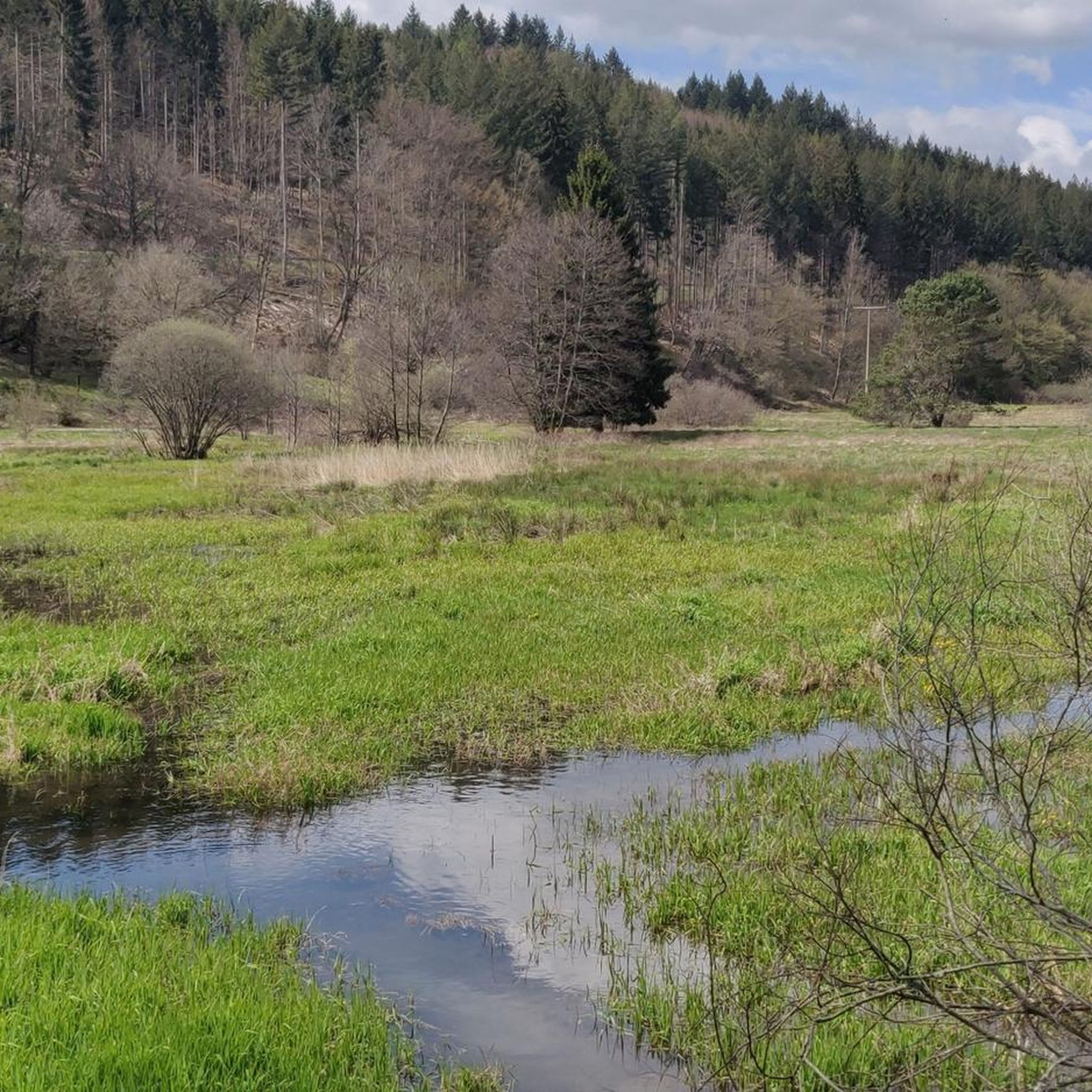
The village of Wiesthal is located in the relatively narrow valley along the Aubach stream. The Catholic church stands slightly elevated approximately in the center of the village.
2
0
With a bit of luck, you might also see deer in the meadow.
2
0
After heavy downpours, the Lohr becomes a raging river.
1
0
The Aubach is a small stream/river that meanders gently through the idyllic Aubach valley in its upper reaches. After more than 20 km, the Aubach flows into the Lohr,
2
0

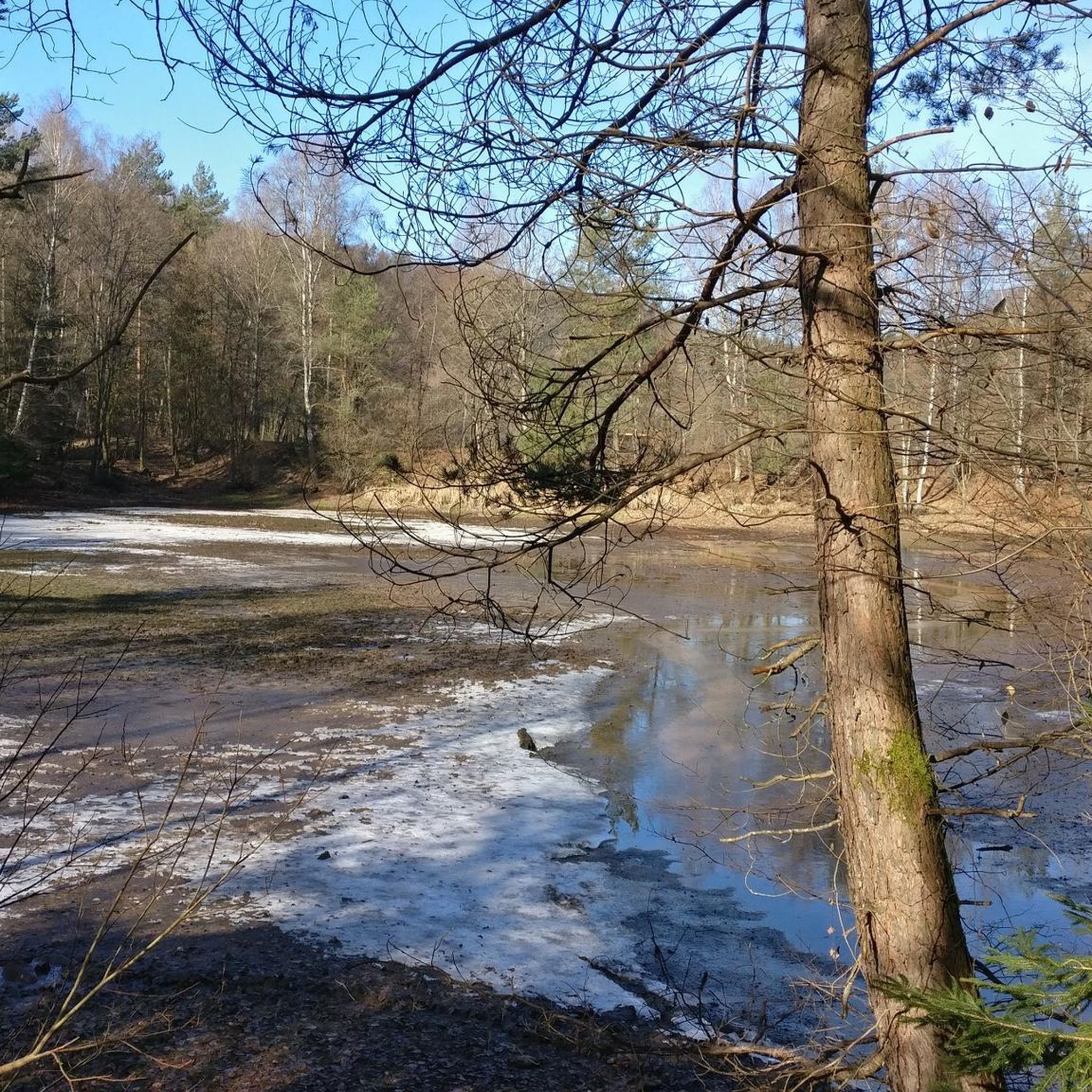
The History Systematic meadow irrigation to increase hay and forage yields has been documented in the Spessart since 1453 and was still widespread in the stream valleys until the mid-20th century. The first mention of dam irrigation on the Wöhrde can be found in a document from 1663. Source: Information board at the site
1
0
It's a fantastic and well-maintained water treading facility. Here, you're practically standing/walking in the riverbed—greatly done. A table and benches are provided for resting.
2
0
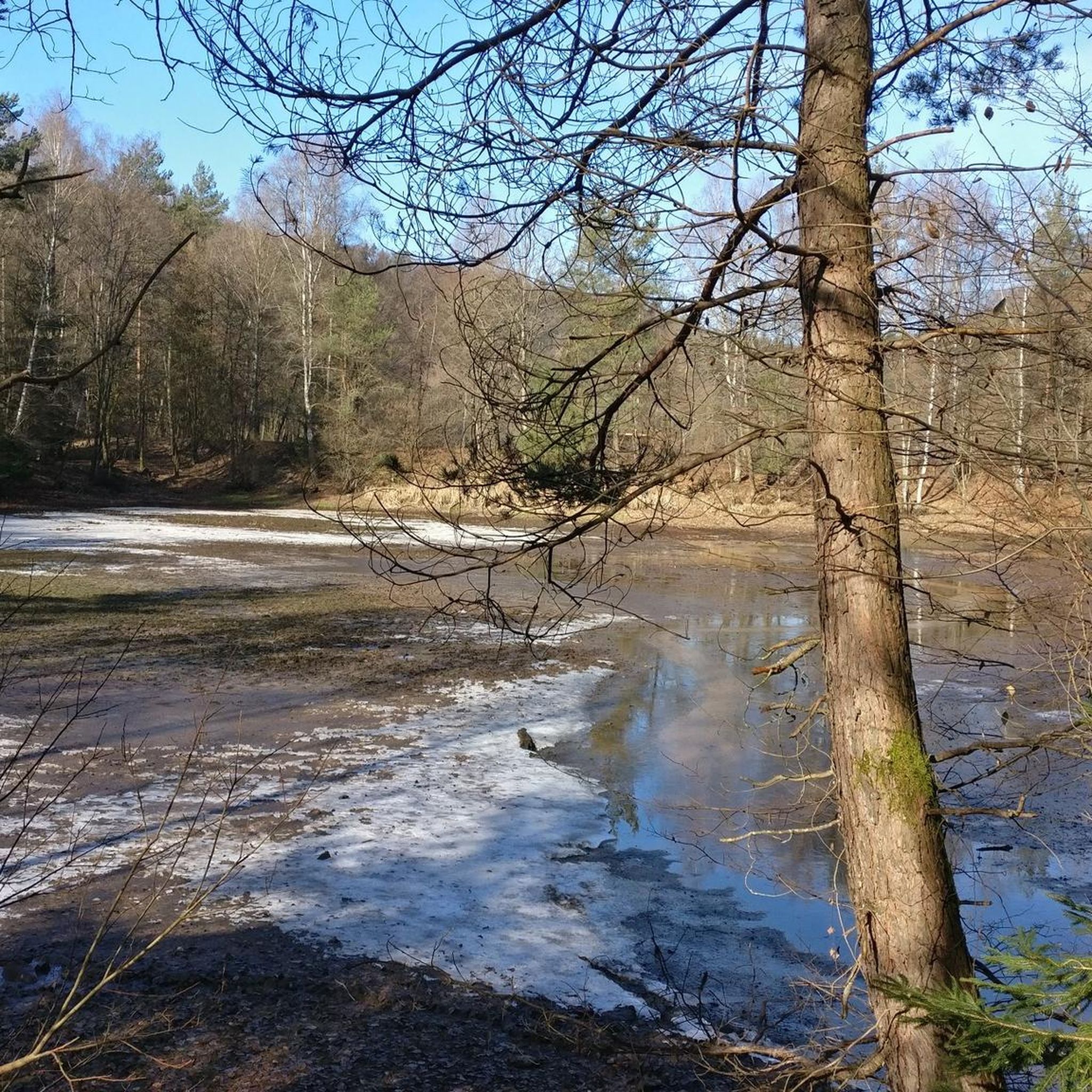
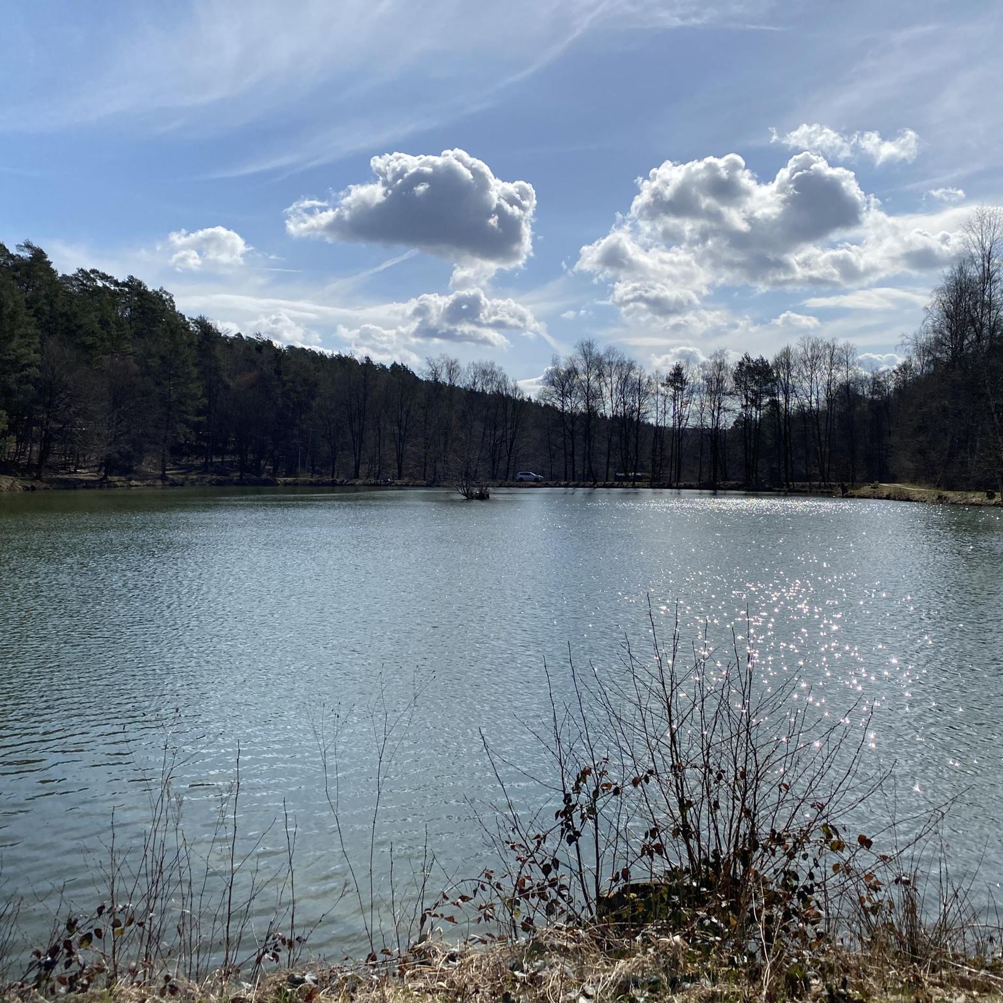
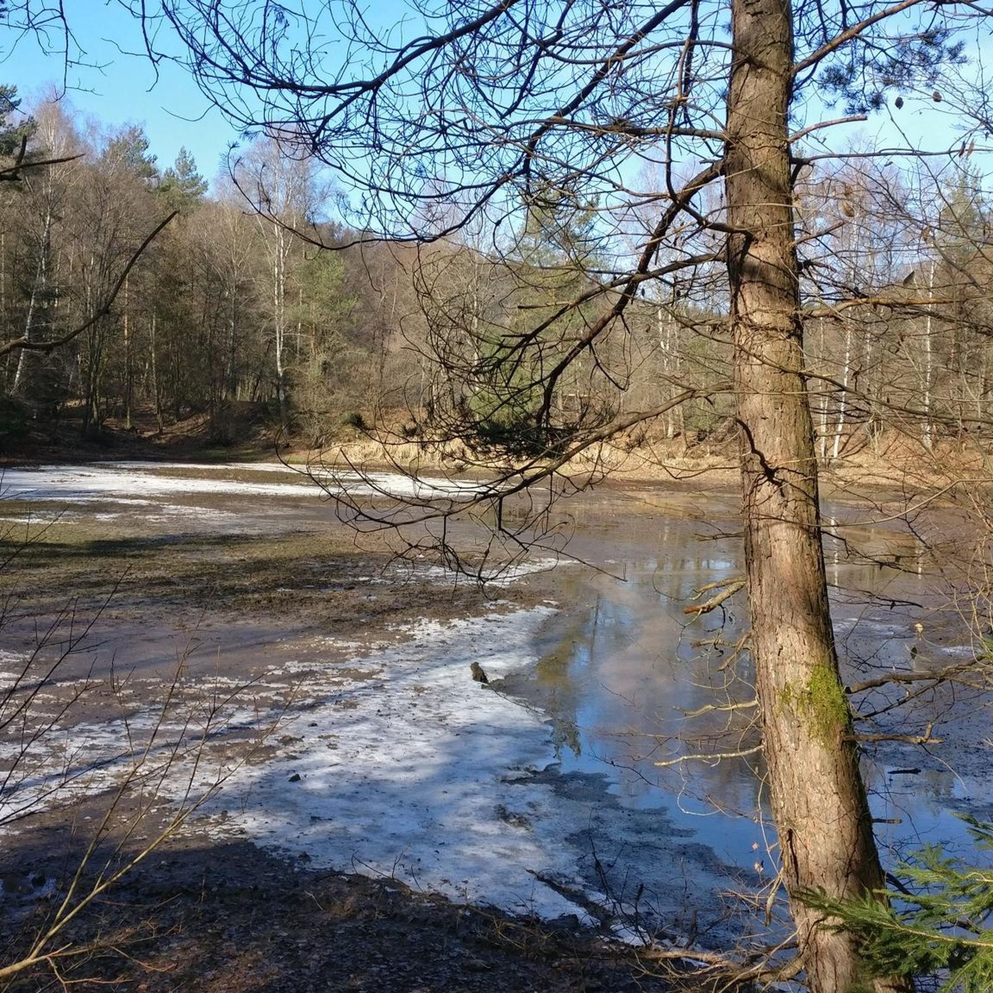
Lake Wiesbütt (formerly Lake Hanauer See) is a forest lake in the Main-Kinzig district of Hesse, in the Spessart region. Lake Wiesbütt is located in the municipality of Flörsbach in the municipality of Flörsbachtal, directly on the state border with Bavaria. The Bavarian/Hessian border runs along the western shore, at the foot of the dam. To the west lies the unincorporated area of Wiesener Forst in the Bavarian district of Aschaffenburg. To the north lies the Spessart High Road (L 2905) and the two old trade routes: Birkenhainer Straße and Eselsweg. To the southwest lies the village of Wiesen in Lower Franconia, to the southeast Mosborn, a district of the municipality of Flörsbachtal, and to the north Bieber, a district of the municipality of Biebergemünd. The artificial lake, created for energy generation and ventilation of the Bieber mines, is now located on the edge of the Wiesbüttmoor nature reserve. The lake has no surface inlet; it is fed underground from the Wiesbüttmoor. A natural overflow drains the water into the Aubachtal valley via the Wiesbüttgraben. The Wiesbüttsee, with its diverse flora, some of which is already threatened with extinction, is part of one of the last raised bogs in Germany. It was created in 1765 by Bieber miners according to plans by mining master Johann Philipp Cancrinus to ventilate and drain the Lochborntalgrund silver, copper, and lead mine tunnels in the summer. It was also intended to provide sufficient water for the Bieber ironworks and the hammer mill. Due to the exceptional ore deposits in the area around Bieber, extensive mining was carried out during this period. The Wiesbüttsee served as a water source for the hydropowered mining machines used to drain and ventilate the tunnels. The water power powered the conveyor system of the ironworks in the Lochhütte until 1925. The former customs house (later a restaurant) commemorates the Bavarian border that was once controlled here. Source: https://de.wikipedia.org/wiki/Wiesbüttsee
4
0

Frequently Asked Questions
How many gravel bike trails are available in Frammersbacher Forst?
Frammersbacher Forst offers a wide selection of gravel bike trails, with over 50 routes available on komoot. These routes cater to various skill levels, including 2 easy, 11 moderate, and 37 difficult options.
What kind of terrain can I expect on gravel bike trails in Frammersbacher Forst?
The region is characterized by dense woodlands and rolling hills within the Spessart Nature Park. You'll encounter varied topography with both challenging climbs and scenic descents, alongside flatter sections often found along river valleys. Many routes utilize historical paths, providing natural, unpaved surfaces ideal for gravel biking.
Are there any family-friendly gravel bike routes in Frammersbacher Forst?
While many routes in Frammersbacher Forst are rated moderate to difficult due to the rolling hills and varied terrain, there are a few easier options. For a less strenuous ride, consider exploring sections along river valleys or shorter, less elevated paths. Always check the route details on komoot for specific difficulty ratings and elevation profiles to ensure it suits your family's abilities.
What are some notable natural features or landmarks to see along the trails?
You can discover several interesting natural features and landmarks. Highlights include the beautiful Middle Aubachsee and the wider Aubach Valley and Aubach Lakes. The Spessartwiesen Nature Reserve – Habichsthal offers serene natural beauty. For those seeking views, the Eichenberg Summit Stone marks the highest point in the area, offering rewarding climbs.
Are there any circular gravel bike routes available?
Yes, many of the gravel bike trails in Frammersbacher Forst are designed as loops. For example, the challenging Aubach Lakes – Habichsthal Fisherman's Hut loop from Frammersbach and the moderate Cross Chapel, Frammersbach – View of Frammersbach loop from Frammersbach are popular circular options.
What do other gravel bikers say about the trails in Frammersbacher Forst?
The gravel biking experience in Frammersbacher Forst is highly rated by the komoot community, with an average score of 4.4 stars from over 60 reviews. Many visitors praise the diverse landscape of dense woodlands and rolling hills, as well as the well-maintained network of paths that provide a dynamic riding experience.
Are there any historical paths suitable for gravel biking in the region?
Yes, the area incorporates historical routes that are perfectly suited for gravel bikes. Ancient tracks like the 'Wiesener Straße,' a medieval trade path through the Spessart, and sections of the 'Schneewittchen-Wanderweg' often provide natural, unpaved surfaces that make for excellent gravel riding.
Where can I find a good rest stop or place to eat near the trails?
The Wirtshaus Bayerische Schanz is noted as a brilliant rest stop for cyclists in the Spessart region, indicating its accessibility and welcoming atmosphere. Additionally, the nearby town of Frammersbach and Lohr am Main offer various amenities, including cafes and restaurants, for before or after your ride.
What is the highest point I can reach on a gravel bike in Frammersbacher Forst?
The highest elevation in the region is the Eichenberg, standing at 544 meters above sea level. Reaching the Eichenberg Summit Stone offers rewarding climbs and potentially expansive views, adding a significant challenge and scenic reward to your gravel biking experience.
Can I combine gravel biking with cultural excursions in the area?
Absolutely. While Frammersbacher Forst is primarily natural, its proximity to the charming old town of Lohr am Main allows for cultural excursions. Lohr am Main features historical attractions and the Spessartmuseum, providing a great opportunity to explore local history and culture before or after your rides.
Are there any long-distance gravel routes for experienced riders?
For experienced riders seeking longer distances and more challenging terrain, Frammersbacher Forst offers several difficult routes. The Ruhm Mill, Wiesthal – Aubach Valley loop from Wiesthal, at nearly 48 km, and the Forsthaus Aurora – Neustädter Tor Crossroads loop from Wiesthal, over 42 km, are excellent options that feature significant elevation changes and varied forest terrain.
What is the best time of year for gravel biking in Frammersbacher Forst?
The dense forests and varied topography of Frammersbacher Forst make it enjoyable across multiple seasons. Spring and autumn offer pleasant temperatures and beautiful foliage, while summer provides longer daylight hours. Even in winter, the well-established paths can be ridden, though conditions may vary, so always check local weather and trail reports.
Most popular routes in Frammersbacher Forst
Most popular attractions in Frammersbacher Forst

Get inspired with the komoot mobile app


Explore more
Browse the best Gravel rides in other regions.
