The best gravel rides in Crown Land Reserve
4.6
(8)
60
riders
5
rides
Gravel biking in Crown Land Reserve offers extensive and varied terrain, characterized by unpaved surfaces such as fire trails, maintenance roads, and natural tracks. These areas often encompass diverse landscapes including bushland, forests, and riparian zones, providing a mix of riding experiences. The reserves are managed for public access, ensuring routes through natural settings. This blend of surfaces allows for covering distances through varied natural environments.
Best gravel bike trails in Crown Land Reserve
- The most popular gravel bike trail…
Last updated: July 3, 2026
4.7
(6)
23
riders
59.6km
03:56
510m
510m
Hard gravel ride. Very good fitness required. Mostly paved surfaces. Suitable for all skill levels.
5.0
(1)
6
riders
24.2km
01:34
180m
180m
Moderate gravel ride. Good fitness required. Mostly paved surfaces. Suitable for all skill levels.

Sign up for free
7
riders
86.9km
06:31
1,000m
1,000m
Hard gravel ride. Very good fitness required. Mostly paved surfaces. Suitable for all skill levels.
5
riders
52.4km
03:50
530m
530m
Hard gravel ride. Very good fitness required. Mostly paved surfaces. Suitable for all skill levels.
3
riders
39.3km
02:49
680m
680m
Hard gravel ride. Very good fitness required. Mostly paved surfaces. Suitable for all skill levels.
Our route recommendations are based on thousands of hikes, rides, and runs completed by other people on komoot.
Start today with a free account
Your next adventure awaits.
Login or Signup
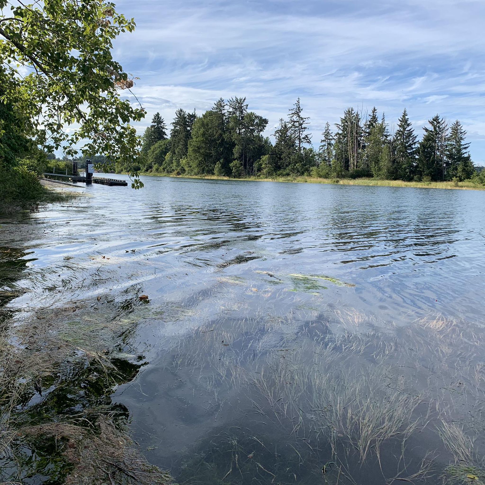
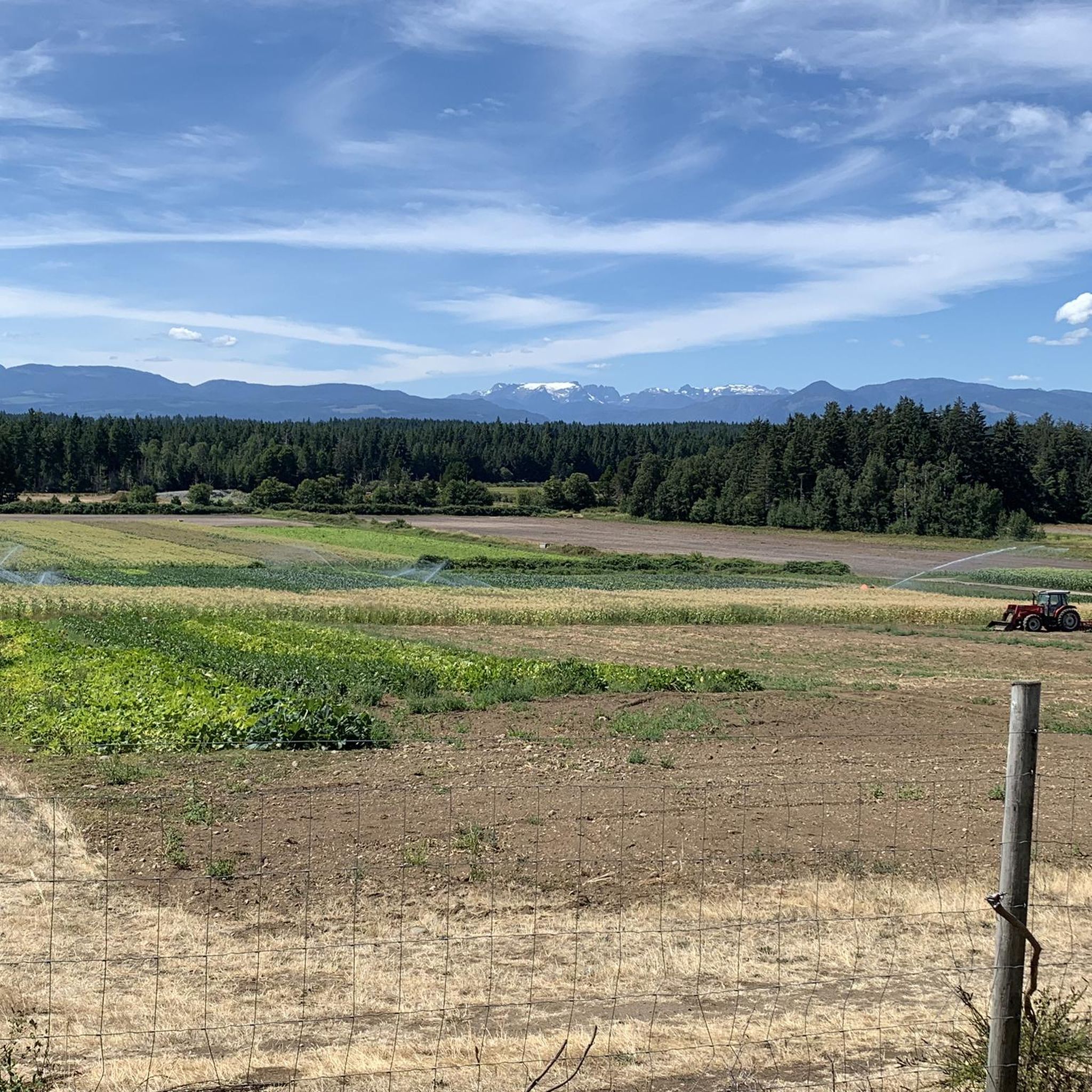
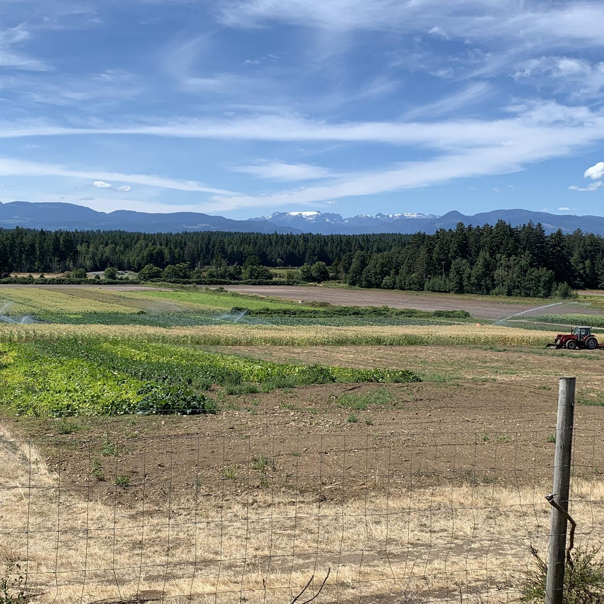
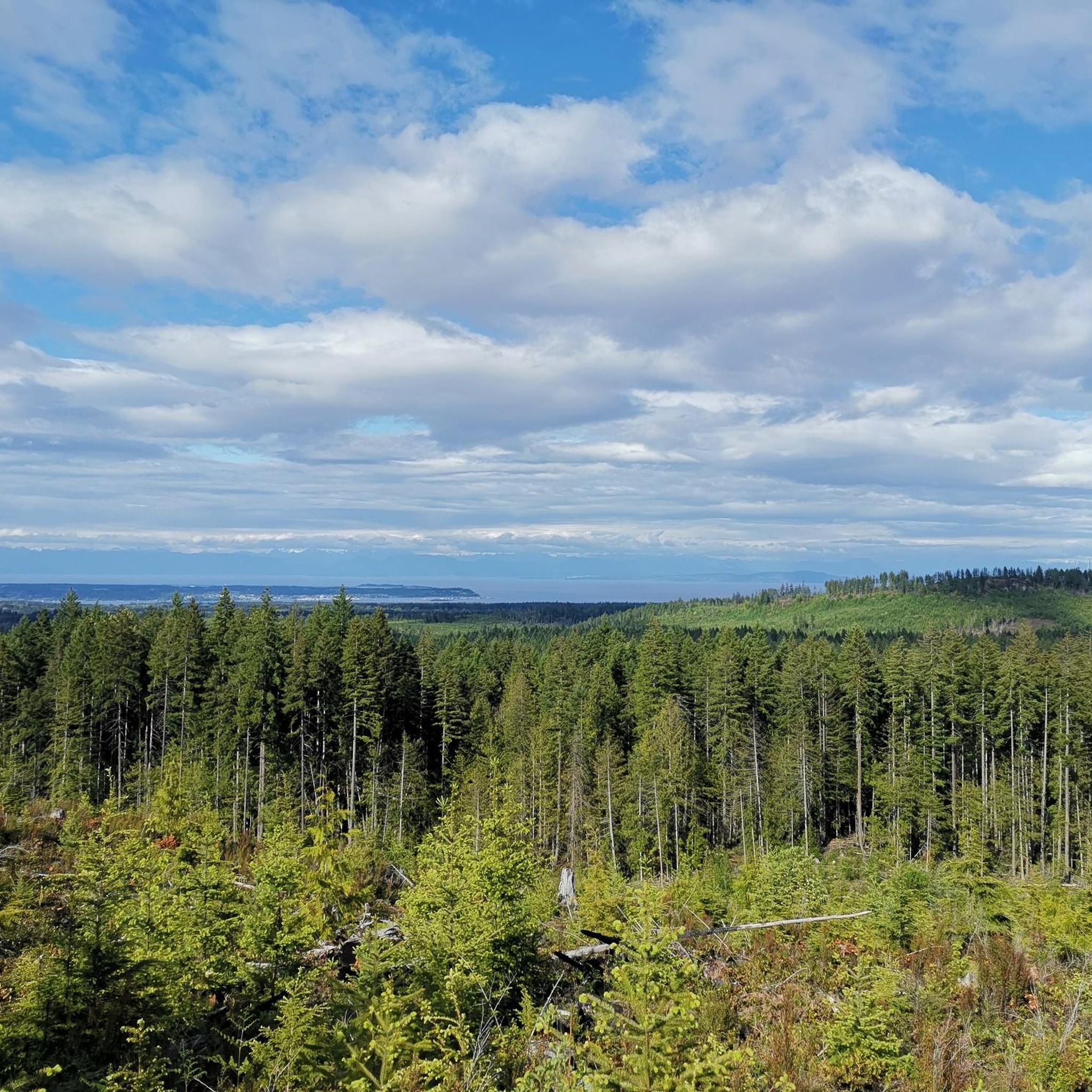

Tips from the Community

The Hazy Pale and the IPA are among the best on the island
0
0
This is an active logging road...be aware, listen, and be prepared for a lot of dust if it's the dry season
0
0

There are a bunch of seaplanes and other small aircraft that are usually parked along the fence opposite the Riverway Path. You can check them out as you pass by.
0
0
This path takes you through Courtenay's urban area, partially sheltered on either side by strips of greenery, between downtown and the riverfront. You share the path with cyclists, but the trail is paved and divided to ease multi-use traffic.
0
0

Cumberland Community Forest stretches more than 500 acres, and is mostly second-growth coastal forest with a web of well-maintained trails. These trails are open to hiking, mountain biking, trail running.
0
0

You can also grab a coffee and take it down to one of the picnic tables along Marine Drive. A great place to look across towards Comox Marina and Goosespit.
0
0

Cool little airport that has some interesting aircraft to check out.
0
0
Frequently Asked Questions
How many gravel bike trails are available in Crown Land Reserve?
Crown Land Reserve offers a network of 7 gravel bike trails, ranging from moderate to difficult, providing diverse riding experiences across its varied terrain. These routes are designed to take advantage of the extensive unpaved surfaces, including fire trails and natural tracks.
Are there any family-friendly gravel biking options in Crown Land Reserve?
While many routes in Crown Land Reserve are rated moderate to difficult, the area's extensive and varied terrain means there are often sections suitable for different skill levels. For a moderate option, consider the One Spot Trailhead – Courtenay Airpark loop from Courtenay, which is 15.1 miles (24.3 km) long and leads through natural bushland and open areas. Always check the route details for elevation and surface conditions to ensure it matches your family's ability.
What are the regulations for gravel biking in Crown Land Reserves, particularly regarding access?
Crown Land Reserves are managed for public benefit, including recreation. This generally means public access for activities like gravel biking on designated trails, fire roads, and maintenance tracks. However, specific regulations can vary by region and reserve. It's always advisable to check local signage or the relevant government authority for any specific rules or restrictions before you ride. For general information on Crown Land, you can refer to resources like the NSW Government Crown Land website or the WA Government Crown Land Reserves page.
Are there any circular gravel biking routes in Crown Land Reserve?
Yes, many of the gravel biking routes in Crown Land Reserve are designed as loops, allowing you to start and finish at the same point. For example, the popular Courtenay Airpark – Cumberland Brewing Co. loop from Cumberland is a challenging 37.2 miles (59.8 km) circular path, and the Duncan Bay Mainline – One Spot Trailhead loop from Courtenay offers a difficult 53.9 miles (86.8 km) ride.
What kind of terrain can I expect on gravel bike trails in Crown Land Reserve?
Gravel biking in Crown Land Reserve is characterized by extensive and varied terrain. You can expect a mix of unpaved surfaces, including fire trails, maintenance roads, and natural tracks. The routes often traverse diverse landscapes such as bushland, forests, and riparian zones, offering a blend of riding experiences from smooth gravel to more rugged dirt paths.
What do other gravel bikers enjoy most about riding in Crown Land Reserve?
The gravel biking routes in Crown Land Reserve are highly rated by the komoot community, with an average score of 4.6 stars from over 8 reviews. Riders often praise the diverse natural settings, the sense of exploration, and the opportunity to cover long distances through varied environments away from crowded urban areas.
Are there any advanced or challenging gravel bike trails in the area?
Yes, Crown Land Reserve offers several challenging routes for experienced gravel bikers. The Courtenay Airpark – One Spot Trailhead loop from Courtenay is a difficult 32.5 miles (52.3 km) ride, and the One Spot Trailhead – Medicine Bowls Trail loop from Courtenay is another difficult option spanning 24.6 miles (39.6 km), both featuring significant elevation changes and varied terrain.
Is parking available at the trailheads for gravel biking in Crown Land Reserve?
While specific parking information for each trailhead isn't always detailed, Crown Land Reserves are managed for public access and often include amenities like car parks, especially at popular access points. It's recommended to check the individual route descriptions on komoot or local government websites for specific parking locations and any potential fees or restrictions before your visit.
What is the best time of year for gravel biking in Crown Land Reserve?
The best time for gravel biking in Crown Land Reserve generally depends on the local climate. Given the diverse landscapes, spring and autumn often offer the most pleasant conditions with milder temperatures and less extreme weather. While winter riding is possible, be prepared for potentially wet, muddy, or even snowy conditions on unpaved tracks, which can increase the difficulty and require appropriate gear.
Are dogs allowed on the gravel trails in Crown Land Reserve?
Regulations regarding dogs in Crown Land Reserves can vary. Many reserves allow dogs, often requiring them to be on a leash, especially in areas with wildlife or livestock. However, some sensitive environmental areas or specific trails might have restrictions. Always look for local signage or consult the relevant Crown Land authority's website for the specific reserve you plan to visit to confirm their pet policy.
What kind of bike is best suited for the gravel trails in Crown Land Reserve?
Given the mix of fire trails, maintenance roads, and natural tracks, a dedicated gravel bike is ideal for Crown Land Reserve. These bikes offer a comfortable geometry for long distances, wider tires for better grip and comfort on varied surfaces, and gearing suitable for both climbs and flats. A hardtail mountain bike could also be a good option for the more rugged sections.
Most popular routes in Crown Land Reserve

Get inspired with the komoot mobile app


Explore more
Browse the best Gravel rides in other regions.
