The best gravel rides in Carrick Forest
4.5
(14)
267
riders
8
rides
Gravel biking in Carrick Forest offers extensive opportunities across its diverse terrain, characterized by a network of forest tracks, rolling hills, and numerous lochs. The region, part of the larger Galloway Forest Park, features varied surfaces suitable for gravel bikes, from firm gravel to earth paths. Riders can explore remote areas through dedicated non-motorized routes, navigating through dense woodlands and alongside picturesque waterways. The landscape includes the rugged Galloway Hills, providing both challenging ascents and expansive views.
Best gravel bike…
Last updated: July 3, 2026
3.0
(1)
6
riders
62.6km
04:27
630m
630m
Hard gravel ride. Very good fitness required. Mostly paved surfaces. Suitable for all skill levels.
5.0
(2)
18
riders
Hard gravel ride. Very good fitness required. Mostly paved surfaces. Suitable for all skill levels.

Sign up for free
5
riders
43.3km
03:40
700m
700m
Hard gravel ride. Very good fitness required. Mostly paved surfaces. Suitable for all skill levels.
4.0
(3)
154
riders
Hard gravel ride. Very good fitness required. Mostly paved surfaces. Suitable for all skill levels.
4.8
(6)
68
riders
66.3km
04:19
820m
820m
Hard gravel ride. Very good fitness required. You may need to push your bike for some segments of this route.
Get access to more routes and recommendations from other explorers.
Sign up for free
Already have an account?
Our route recommendations are based on thousands of hikes, rides, and runs completed by other people on komoot.
Start today with a free account
Your next adventure awaits.
Login or Signup
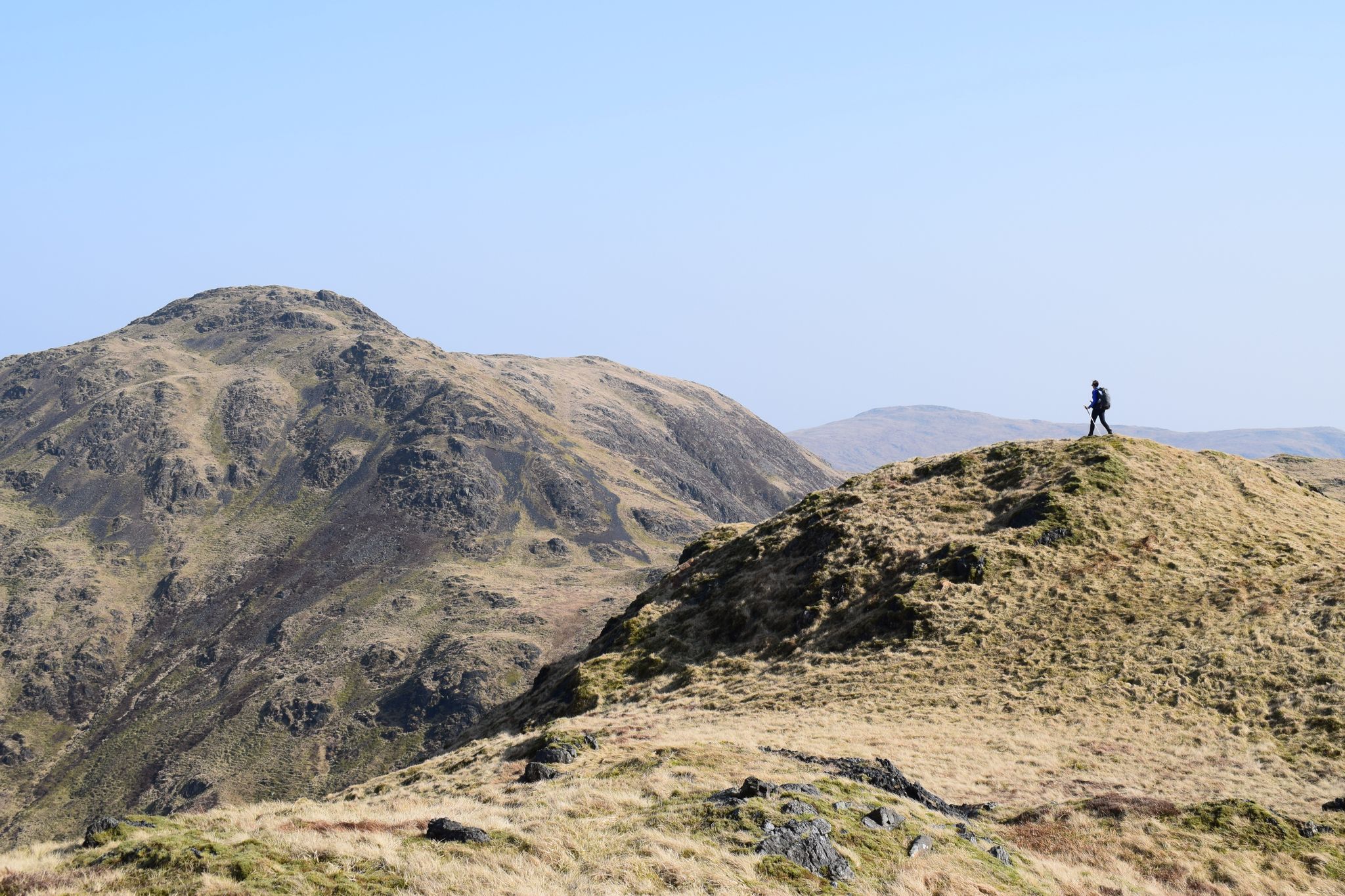
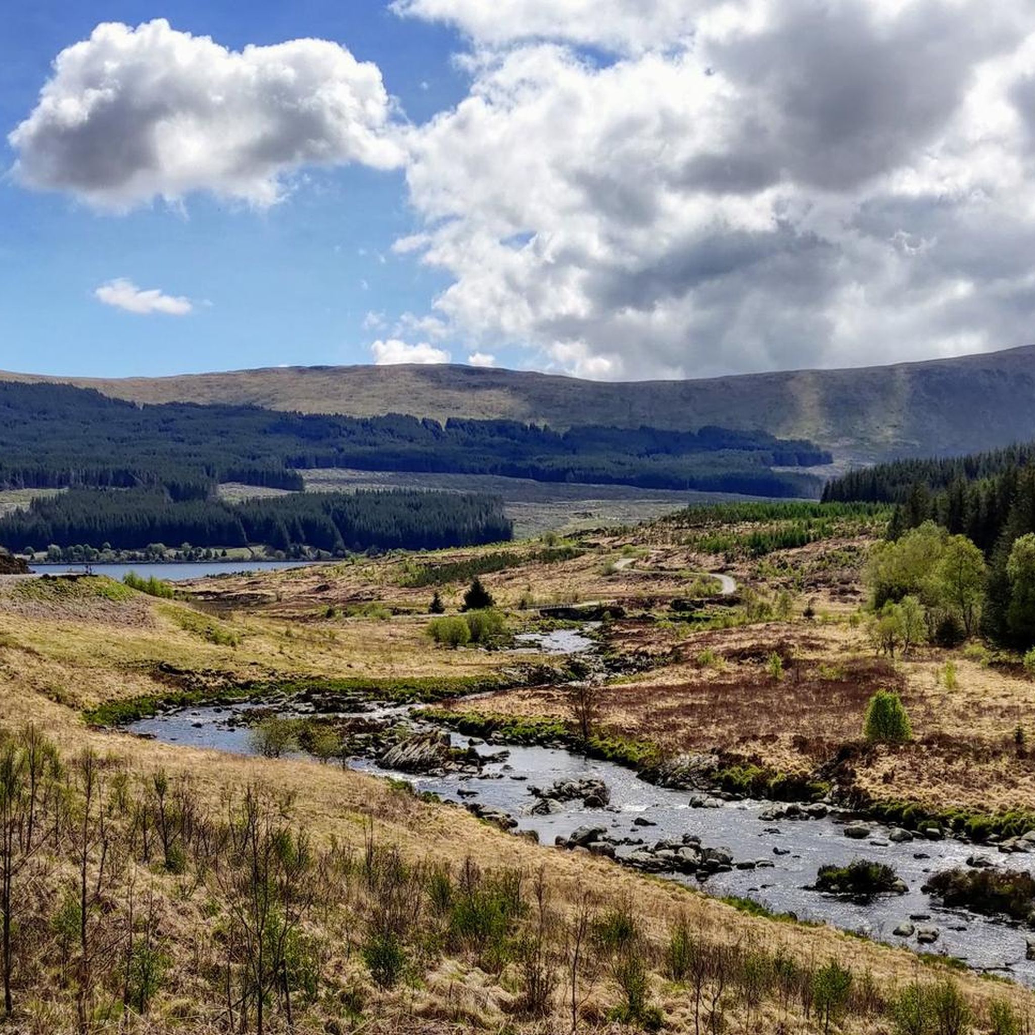
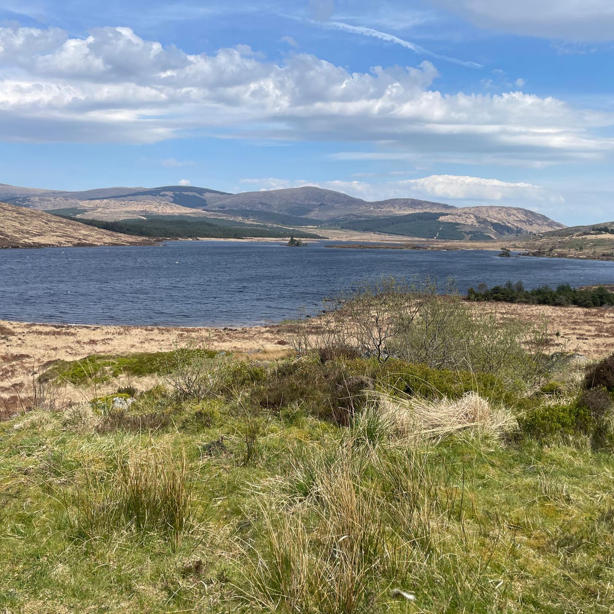
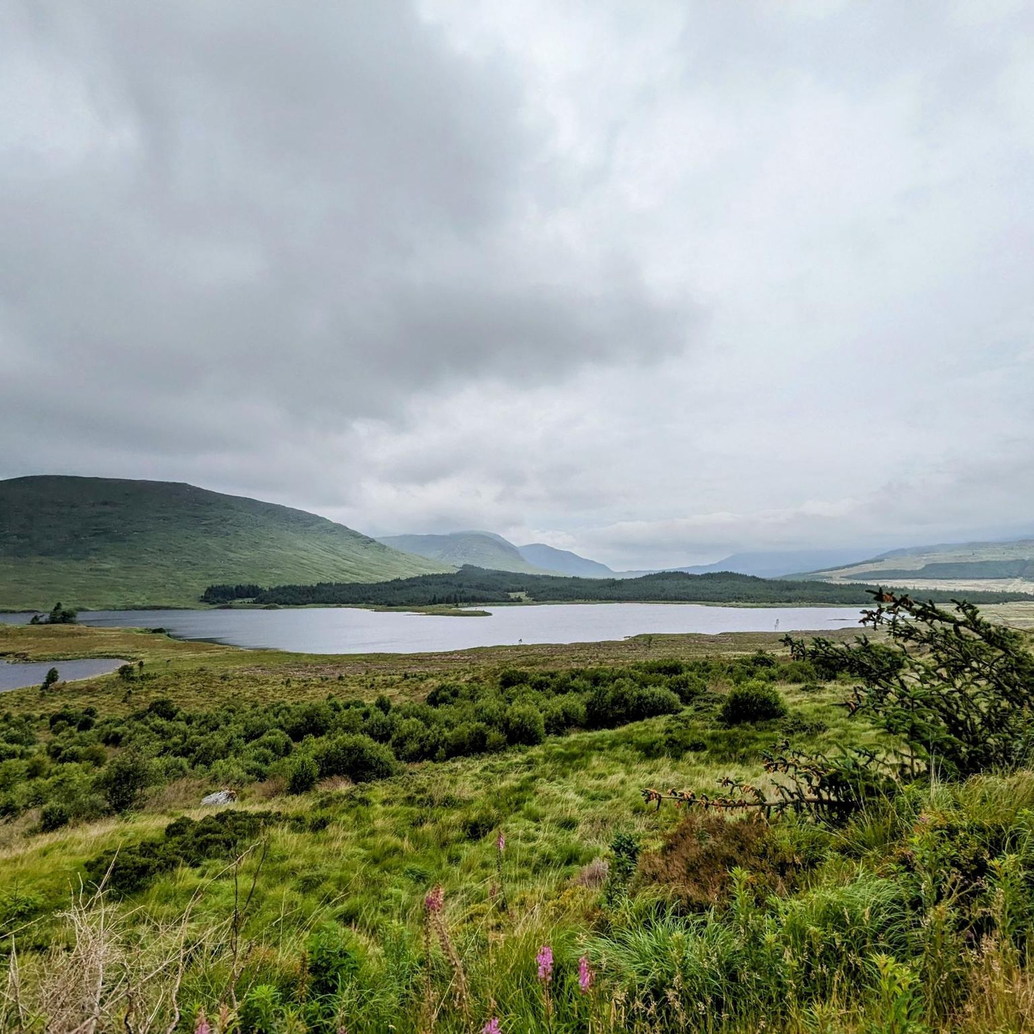
Other adventures in Carrick Forest

Tips from the Community


This section starts off in the woods with a couple of burn crossings, then out on to open moorland. It can be twisty, but flows well and makes a really nice descent
0
0

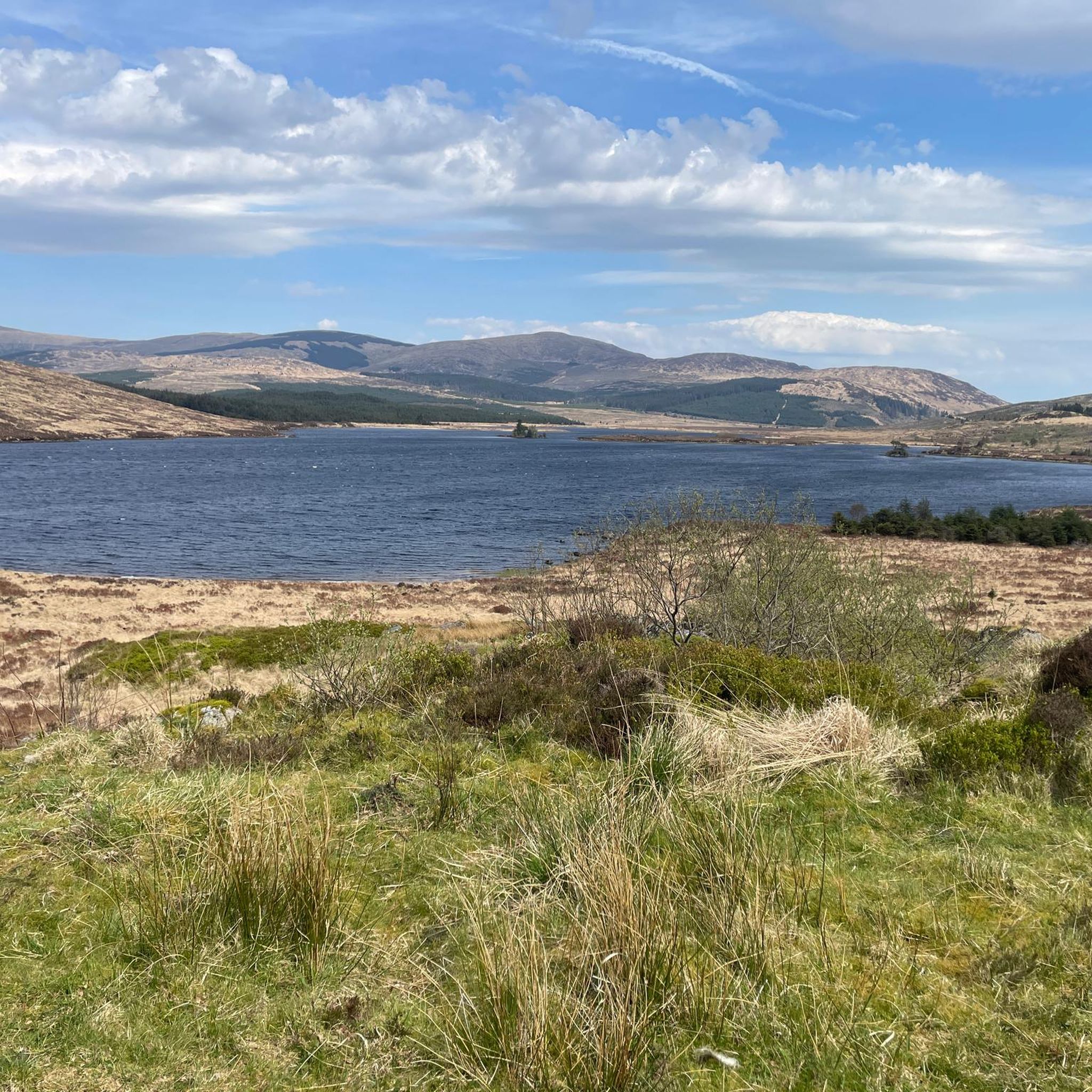
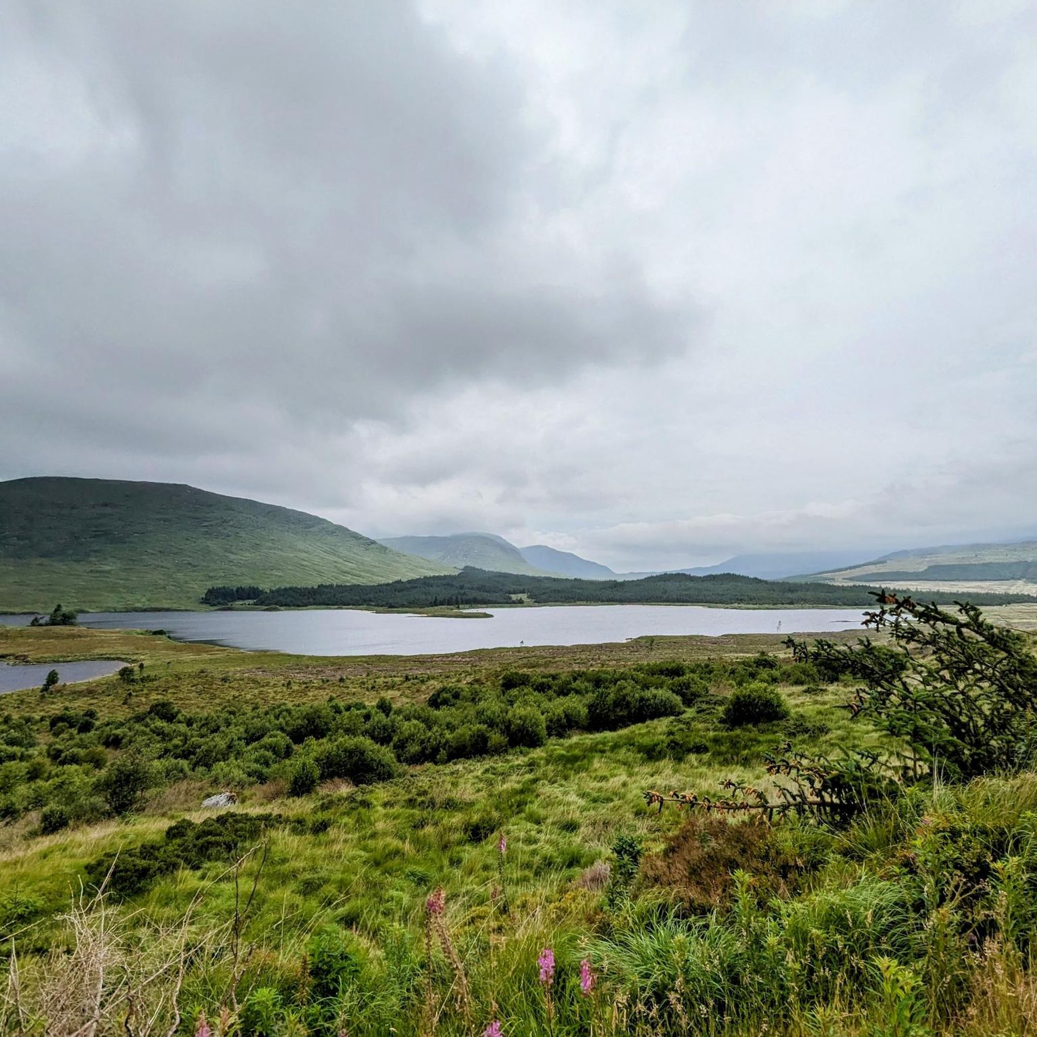
hoping this photo is helpful to see the terrain.
0
1
can be slippy in wet weather due to moss
0
0
Glentrool area is known for its legends of stone throwing giants. The Giant Axe Head overlooks Loch Dee. It closely resembles actual neolithic stone axes and has runic text throughout.
1
0

You can’t continue on this road and take the forrest track on to Stration.
0
0
Work began in September 1916 and an airfield, slipways, piers, jetties, seaplane hangars, tramways and other associated buildings erected. The remains of these can still be found on the Loch shore today. The loch was dammed in the 1930s, raising the water some 27 feet (8.2 m) to provide seasonal storage for the Galloway hydro-electric power scheme. As a reservoir, Loch Doon has an effective capacity of over 82 million cubic metres. When rainfall is plentiful, water is diverted to the loch from the Water of Deugh via a tunnel system. When water is required for power generation, water is released at Drumjohn to feed Kendoon power reservoir, the first in a series of generating stations and reservoirs on the Water of Ken. During construction work, the ruins of the castle were moved from an island in the Loch to the shore to avoid the rising water. Air crashes Edit Two aircraft are known to have crashed in or near the Loch in the Second World War.
0
0
Frequently Asked Questions
How many gravel bike trails are available in Carrick Forest?
Carrick Forest offers a selection of 8 gravel bike routes, with the majority being challenging. These trails navigate through diverse terrain, including extensive forest tracks and the rugged Galloway Hills.
What kind of terrain can I expect on gravel bike trails in Carrick Forest?
You can expect varied terrain, from firm gravel and earth paths to rougher, rocky sections, especially on routes like those around Cornish Hill. The trails wind through dense woodlands, alongside picturesque lochs, and across rolling hills, providing a true gravel biking experience.
Are there any family-friendly gravel biking options in Carrick Forest?
While many routes in Carrick Forest are rated as difficult, the region's extensive network of forest tracks can offer sections suitable for families. For a dedicated non-motorized path, consider parts of the Carrick Forest Drive, which is generally flatter. Always check individual route details for elevation and surface conditions to ensure it matches your family's ability.
Can I bring my dog on the gravel bike trails in Carrick Forest?
Carrick Forest, as part of Galloway Forest Park, is generally dog-friendly. Dogs are welcome on trails, but should be kept under close control, especially around livestock, wildlife, and other trail users. Always follow the Scottish Outdoor Access Code and any specific signage.
What are some notable landmarks or attractions I can see along the gravel bike routes?
Many routes offer stunning views and pass by significant landmarks. You can explore the historic ruins of Loch Doon Castle, enjoy views from the Viewpoint at Loch Riecawr, or cycle past the impressive Big Water of Fleet Viaduct. The area is also part of the UK's first Dark Sky Park, offering incredible stargazing opportunities.
Are there any circular gravel bike routes in Carrick Forest?
Yes, many of the gravel bike routes in Carrick Forest are designed as loops. For example, the popular Loch Doon Castle Ruins – Viewpoint at Loch Riecawr loop from Loch Doon Roundhouse is a 42.8 km circular trail. Another option is the View of Pinbreck Hill – Kirstie's Cairn Memorial loop from Genoch Inner Hill, which is 43.3 km.
What is the best time of year for gravel biking in Carrick Forest?
The best time for gravel biking in Carrick Forest is generally during the spring, summer, and early autumn months (April to October) when the weather is milder and daylight hours are longer. However, the varied terrain means conditions can change quickly, so always be prepared for all weather and check forecasts before you go.
Where can I find parking and trailheads for gravel biking in Carrick Forest?
Parking is available at various points around Carrick Forest, often near popular starting points for trails. For instance, routes like the Loch Doon Castle Ruins – Viewpoint at Loch Riecawr loop typically start from areas like the Loch Doon Roundhouse, which would have parking facilities. Other routes may start from locations such as Palnure Burn or Genoch Inner Hill. Always check the specific route details for recommended starting points and parking information.
What do other gravel bikers enjoy most about Carrick Forest?
The komoot community highly rates the gravel biking experience in Carrick Forest, with an average score of 4.4 stars from over 10 reviews. Riders frequently praise the extensive network of forest tracks, the stunning natural beauty of the Galloway Hills, and the sense of remote exploration offered by the diverse landscapes.
Are there any particularly challenging gravel routes in Carrick Forest?
Yes, Carrick Forest is known for its challenging gravel routes. For example, the Clatteringshaws Dam – Big Water of Fleet Viaduct loop from Palnure Burn is a difficult 62.6 km path with significant elevation gain. Another demanding option is the Otter Pool on Raiders Road – Big Water of Fleet Viaduct loop from Benniguinea, covering 61.2 km with over 740 meters of ascent.
Can I access Carrick Forest gravel trails using public transport?
Public transport options to access the more remote parts of Carrick Forest and its gravel trails can be limited. Major towns like Straiton and Dalmellington might offer some bus services, but reaching specific trailheads often requires personal transport. Planning ahead and checking local bus schedules is advisable if relying on public transport.
Are there any viewpoints or scenic spots along the gravel routes?
Absolutely. Many routes offer breathtaking views across the Galloway Hills. Climbing Cornish Hill, for instance, rewards riders with far-reaching vistas across Ayrshire to the peaks of Arran and Merrick. The Viewpoint at Loch Riecawr is another designated scenic spot, and the trails often run alongside picturesque lochs like Loch Doon and Loch Bradan.
Most popular routes in Carrick Forest
Most popular attractions in Carrick Forest

Get inspired with the komoot mobile app


Explore more
Browse the best Gravel rides in other regions.
