The best gravel rides in Forêt D'Arne
4.4
(7)
75
riders
17
rides
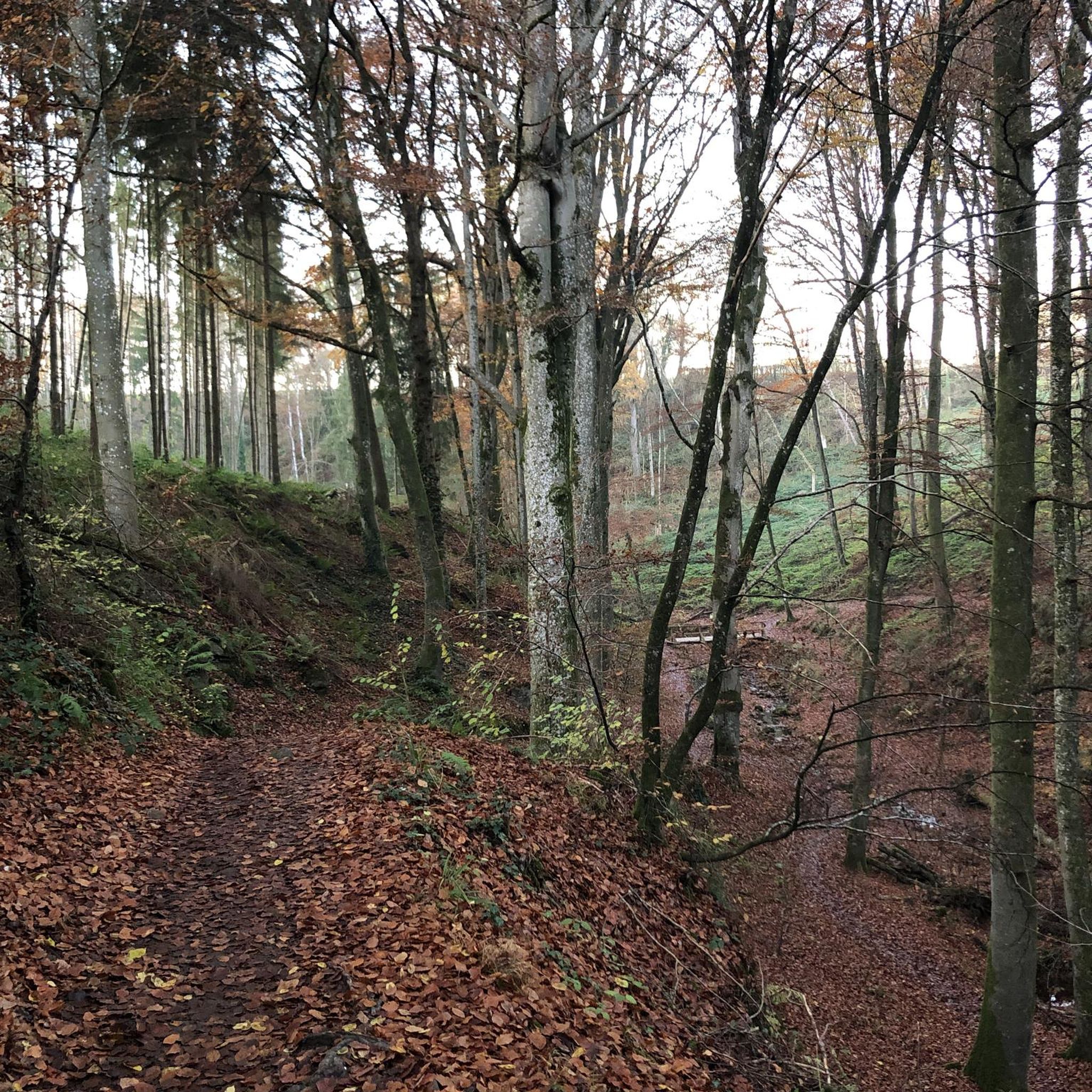
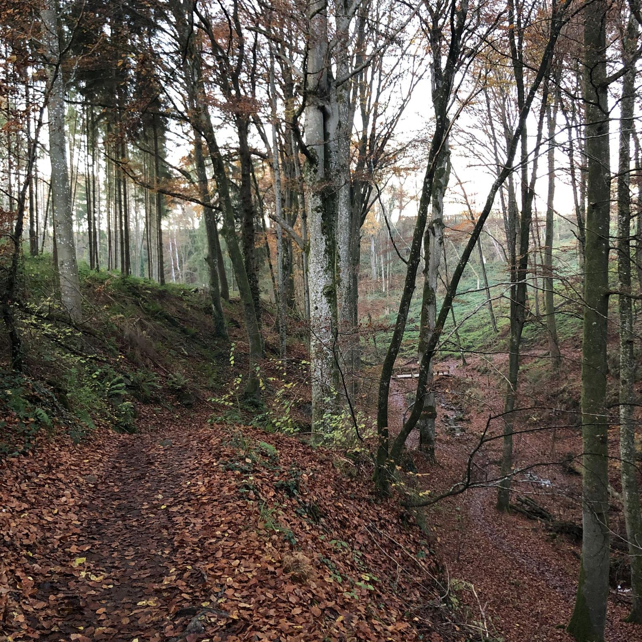
Gravel biking in Forêt D'Arne offers a network of trails through a landscape characterized by dense woodlands, river valleys, and agricultural areas. The region features varied terrain, including sections along canals and near local dams, providing diverse riding experiences. Elevation changes are present, with some routes featuring moderate climbs and descents. The area is suitable for exploring natural and historical points of interest on gravel bike routes.
Best gravel bike trails in Forêt D'Arne
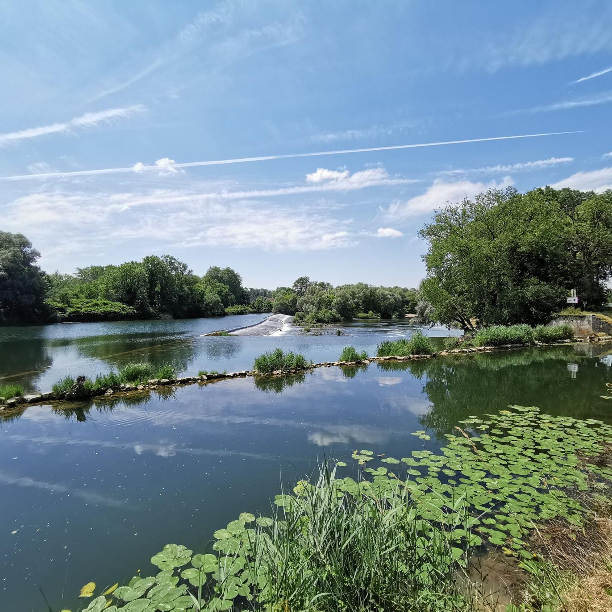
- The most popular gravel bike trail is Island Campsite – By the canal loop from Ranchot, a 13.1 miles (21.1 km) trail that takes 1 hour 44 minutes to complete. This moderate route follows a scenic canal path.
- Another top favourite among local gravel bikers is Les Étangs de Noironte – Marnay Dam loop from Lantenne-Vertière, a moderate 26.3 miles (42.4 km) path. This route explores areas around ponds and a dam, offering varied scenery.
- Local gravel bikers also love the Historic Center of Marnay – Marnay Dam loop from Lantenne-Vertière, a 20.9 miles (33.6 km) trail leading through forested sections and past historical sites, often completed in about 2 hours 56 minutes.
- Gravel biking in Forêt D'Arne is defined by dense forests, canal paths, and routes around local dams and ponds. The network offers options for different ability levels, from moderate to more challenging gravel trails.
- The routes in Forêt D'Arne are highly rated by the komoot community with an average score of 4.4 stars from around 7 reviews. More than 60 gravel bikers have used komoot to explore Forêt D'Arne's varied terrain.
Last updated: July 3, 2026
2
riders
42.4km
03:04
350m
350m
Moderate gravel ride. Good fitness required. Mostly paved surfaces. Suitable for all skill levels.
4.0
(1)
2
riders
36.8km
02:39
460m
460m
Hard gravel ride. Very good fitness required. You may need to push your bike for some segments of this route.

Sign up for free
2
riders
29.7km
01:48
230m
230m
Hard gravel ride. Good fitness required. You may need to push your bike for some segments of this route.
4
riders
Hard gravel ride. Very good fitness required. You may need to push your bike for some segments of this route.
2
riders
46.6km
03:06
450m
450m
Hard gravel ride. Very good fitness required. You may need to push your bike for some segments of this route.
Get access to more routes and recommendations from other explorers.
Sign up for free
Already have an account?
Our route recommendations are based on thousands of hikes, rides, and runs completed by other people on komoot.
Start today with a free account
Your next adventure awaits.
Login or Signup

Tips from the Community

Marnay Castle, built from the 11th century onwards, was remodeled several times up until the 18th century. Formerly the residence of the lords of Marnay, it still has a medieval tower, Renaissance façades and a large wooded park.
0
0

A charming town in Franche-Comté, part of the Holy Roman Empire until the Treaty of 1678. Very prosperous in the Middle Ages, thanks to its trade and artisans. A cloth market was established there as early as the 14th century, after Joan of Burgundy, Countess of Franche-Comté and Queen of King Philip V the Long of France, brought weavers from Paris. From June 14, 1354, until the Revolution, the bourgeoisie of Marnay had a charter of emancipation that guaranteed them security and prosperity: "Whoever has a house and keeps a fire in the town will be a bourgeois." This charter allowed the inhabitants to administer the town themselves and thus build ramparts and create the individual gardens that can still be seen today.
0
0

First mentioned in 1225, the castle oversaw the main passage of the river.
0
0


The castle was built towards the end of the 11th century by Narduin d'Estrabonne. It has undergone numerous modifications over the centuries. It was its transformation into a farm that would have saved it from ending up in ruins at the time of the Revolution. The castle today retains a beautiful appearance, notably with a keep still worthy of the most beautiful castles.
2
0
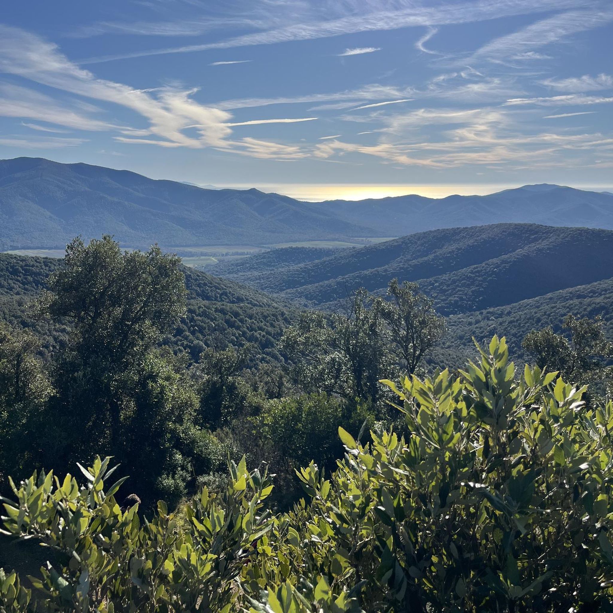
The Moutherot vineyard thrives on the slopes of this small village perched on top of a hill. It is one of the last vineyards in the Doubs department. It produces natural white wines and sparkling wines. This path passes near the vineyards and opens up a large panorama over the plain.
2
0
Characterful Comtoise town which was part of the Holy Roman Empire until the treaty of 1678. Very prosperous in the Middle Ages, due to its trade and its artisans. There has been a cloth hall there since the 14th century, after Jeanne de Bourgogne, countess of Franche-Comté and queen of King Philippe V the Long of France, brought weavers from Paris there. From June 14, 1354 and until the Revolution, the bourgeoisie of Marnay had a charter of emancipation which ensured them security and abundance - "anyone who has a house and keeps fire in the village will be bourgeois". This charter allowed residents to administer the city themselves and thus build ramparts and set up the individual gardens that can still be found there today.
0
0
Nice walk, beautiful views in an easily accessible countryside. Rather mountain bike than vtc but nothing prevents you from putting your foot down for a few meters
0
0
Frequently Asked Questions
How many gravel bike trails are available in Forêt D'Arne?
Forêt D'Arne offers a diverse network of 17 gravel bike routes. These range from moderate to more challenging options, providing varied experiences through dense woodlands, river valleys, and agricultural areas.
Are there easy gravel bike trails suitable for beginners in Forêt D'Arne?
While the guide primarily highlights moderate to difficult routes, many sections of the trails in Forêt D'Arne, particularly those along canals, offer relatively flat and accessible terrain. For a good starting point, consider exploring parts of the Island Campsite – By the canal loop from Ranchot, which follows a scenic canal path.
Are there challenging gravel bike trails for experienced riders in Forêt D'Arne?
Yes, Forêt D'Arne features several challenging gravel routes. For a more demanding ride, the Marnay Dam – Historic Center of Marnay loop from Lantenne-Vertière offers significant elevation changes over its 35.6 km distance. Another challenging option is the Acey Abbey – Château d'Étrabonne loop from Lantenne-Vertière.
What is the best time of year to go gravel biking in Forêt D'Arne?
The best time to enjoy gravel biking in Forêt D'Arne is typically during spring and autumn. These seasons offer pleasant temperatures, vibrant foliage, and generally drier trail conditions. Summer can also be enjoyable, especially in the shaded forest sections, but be mindful of potential heat and busier trails. Winter riding is possible but may involve muddy conditions.
Are there designated parking areas for gravel bikers in Forêt D'Arne?
While specific designated gravel biking parking areas aren't always marked, you can often find suitable parking in or near the villages that serve as starting points for many routes, such as Ranchot or Lantenne-Vertière. Always check local signage for parking regulations.
Which gravel bike routes in Forêt D'Arne offer the best scenic views or viewpoints?
Many routes in Forêt D'Arne offer picturesque scenery, particularly those that traverse river valleys and pass by local dams and ponds. The Les Étangs de Noironte – Marnay Dam loop from Lantenne-Vertière is known for exploring areas around ponds and a dam, providing varied and scenic views.
Are there any circular gravel bike routes in Forêt D'Arne?
Yes, many of the gravel bike routes in Forêt D'Arne are designed as loops, allowing you to start and end at the same point. Examples include the popular Island Campsite – By the canal loop from Ranchot and the Historic Center of Marnay – Marnay Dam loop from Lantenne-Vertière.
What do other gravel bikers enjoy most about gravel biking in Forêt D'Arne?
The komoot community highly rates the gravel biking experience in Forêt D'Arne, with an average score of 4.4 stars. Reviewers often praise the diverse terrain, the peaceful atmosphere of the dense woodlands, and the scenic sections along canals and near local dams. The variety of routes catering to different skill levels is also frequently highlighted.
How can I check the current trail conditions in Forêt D'Arne?
For the most up-to-date trail conditions, it's best to check local weather forecasts before your ride. Additionally, the komoot community often shares recent tour experiences and photos, which can provide insights into current trail conditions. Local tourism offices or cycling groups might also offer updates.
Are there any gravel bike-friendly cafes or places to refuel near Forêt D'Arne?
While specific 'bike-friendly' cafes aren't listed, the towns and villages bordering Forêt D'Arne, such as Marnay or Ranchot, typically offer local bakeries, small shops, or cafes where you can refuel and grab refreshments. It's always a good idea to carry sufficient water and snacks, especially on longer rides.
What kind of terrain can I expect on gravel bike trails in Forêt D'Arne?
Gravel bike trails in Forêt D'Arne feature varied terrain. You can expect a mix of compacted gravel paths, forest roads, and some sections along canals. There are also moderate climbs and descents, particularly on routes exploring the wider region, offering a dynamic riding experience.
Is public transport available to access the gravel trails in Forêt D'Arne?
Public transport options directly into the heart of Forêt D'Arne's trailheads might be limited. However, regional bus services or train lines may connect to nearby towns like Marnay or Ranchot, from which you could cycle to the trail starting points. It's advisable to check local public transport schedules and bike carriage policies in advance.
Most popular routes in Forêt D'Arne

Get inspired with the komoot mobile app


Explore more
Browse the best Gravel rides in other regions.
