The best gravel rides in Entegast
4.5
(104)
563
riders
66
rides
Gravel biking in Entegast offers a diverse landscape characterized by significant elevation changes, river valleys, and routes that traverse both open areas and tunnels. The region, situated between the Black Forest and the Jura Mountains, features varied terrain including paved surfaces, dense forests, and picturesque vineyards. Entegast gravel biking terrain includes rolling hills, deep valleys, and elevated points offering views of the Rhine Valley.
Best gravel bike trails in Entegast
- The most popular gravel bike trail is Car-free Belchen Road…
Last updated: July 3, 2026
4.0
(2)
15
riders
74.4km
05:21
1,550m
1,550m
Hard gravel ride. Very good fitness required. Mostly paved surfaces. Suitable for all skill levels.
4.7
(3)
17
riders
Moderate gravel ride. Good fitness required. Mostly paved surfaces. Suitable for all skill levels.

Sign up for free
4.2
(5)
21
riders
49.1km
03:07
800m
800m
Hard gravel ride. Very good fitness required. Mostly paved surfaces. Suitable for all skill levels.
4
riders
Hard gravel ride. Very good fitness required. You may need to push your bike for some segments of this route.
3
riders
Hard gravel ride. Very good fitness required. Mostly paved surfaces. Suitable for all skill levels.
Get access to more routes and recommendations from other explorers.
Sign up for free
Already have an account?
Our route recommendations are based on thousands of hikes, rides, and runs completed by other people on komoot.
Start today with a free account
Your next adventure awaits.
Login or Signup
Tips from the Community

The tunnel is just on the way. But it's an interesting experience - especially if the lights fail... But don't panic, the tunnel isn't long!
0
0
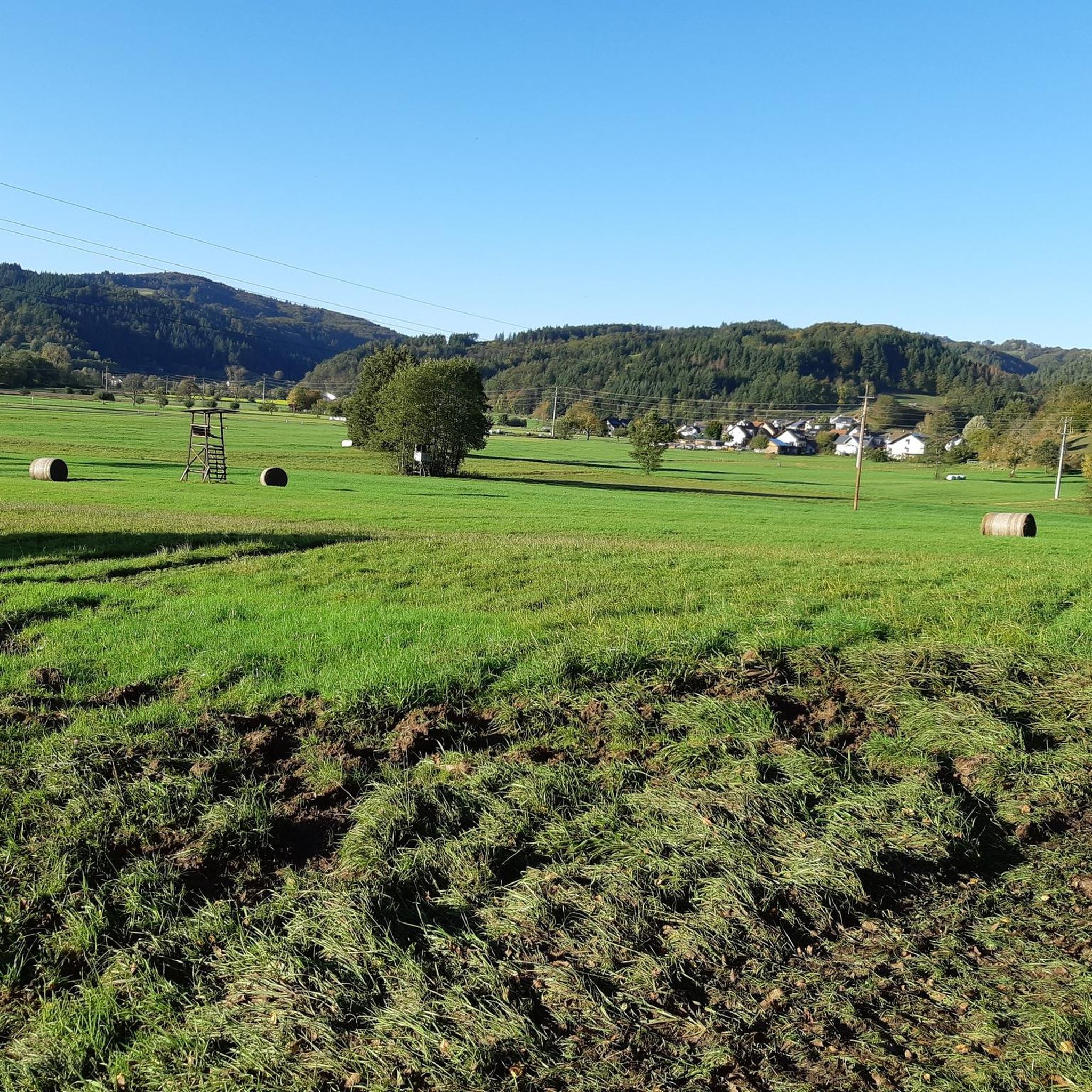
The Dinkelberg trails are simply beautiful!
0
0


The Hohe-Flum Tower stands on the highest point of the Dinkelberg, at 535 meters above sea level. The 13.5-meter-high tower was built in 1874. Sixty-two steps lead up to the platform. From there, one has a magnificent panoramic view in all directions. To the south, one can see the Swiss Jura plateau and, in good weather, the Alps beyond. To the west, the view extends to the Vosges Mountains, and to the north and east, to the Black Forest. The Entegast, Zeller Blauen, Hohe Möhr, and other peaks are also visible.
5
0

A magnificent vantage point with panoramic views of the Belchen and the surrounding valleys. Perfect for photos, a short rest, and enjoying nature.
0
0
A quiet panoramic road to Belchen – completely car-free, ideal for cyclists and hikers. A pleasant climb with fantastic views along the way.
0
0
A quiet panoramic road to Belchen – completely car-free, ideal for cyclists and hikers. A pleasant climb with fantastic views along the way.
0
0

At 34°C, it's a wonderfully cool stretch – but only on the return trip. You have to take the ride to experience the time of the "Todtnauerli"!
0
0
Frequently Asked Questions
How many gravel bike trails are available in Entegast?
Entegast offers a wide selection of over 100 gravel bike trails, catering to various skill levels from easy to difficult. The region's diverse landscape ensures there's a route for every preference.
Are there easy gravel bike trails suitable for beginners in Entegast?
Yes, Entegast has several easy gravel bike trails perfect for beginners. A great option is the Wiese near Schopfheim – Wiese River in Maulburg loop from Schopfheim West, which is 14.7 miles (23.7 km) long and follows river valleys, offering a gentle ride.
What kind of challenges can advanced gravel bikers expect in Entegast?
Advanced gravel bikers in Entegast will find plenty of challenging routes with significant elevation changes and demanding climbs. For example, the Car-free Belchen Road – Todtnauerli Tunnel loop from Schopfheim West is a difficult 46.0 miles (74.1 km) trail featuring over 1500 meters of elevation gain and notable tunnels.
Are there long-distance gravel cycling routes in Entegast?
Yes, Entegast features several longer routes. The Car-free Belchen Road – Todtnauerli Tunnel loop from Schopfheim West is a substantial 46.0 miles (74.1 km) loop, offering a full day's adventure with significant elevation.
What is the typical duration for gravel bike trails in Entegast?
The duration varies greatly depending on the trail's length and difficulty. Easier routes like the Wiese near Schopfheim – Wiese River in Maulburg loop from Schopfheim West can be completed in about 1 hour 34 minutes, while more challenging and longer routes can take upwards of 6 to 7 hours.
When is the best time of year to go gravel biking in Entegast?
Given the region's varied terrain and potential for significant elevation, spring through autumn generally offers the most favorable conditions for gravel biking in Entegast. During these seasons, you can expect more stable weather and clearer paths, making it ideal for exploring both river valleys and higher viewpoints.
Are there circular gravel bike routes in Entegast?
Many of the gravel bike trails in Entegast are designed as loops, allowing you to start and end at the same point. Examples include the Hohe Flum Lookout Tower – View of Schopfheim loop from Schopfheim Schlattholz and the Hepschinger Tunnel – Todtnauerli Tunnel loop from Schopfheim.
What can I see along the gravel bike trails in Entegast?
Entegast's gravel trails often pass by scenic viewpoints and historical elements. You might encounter structures like the Wiesen Bridge in Schopfheim or enjoy views from spots like the View over Hausen towards Hohe Möhr. Some routes also feature tunnels and follow river paths.
Are there any interesting landmarks or attractions near the gravel biking routes?
Yes, Entegast offers several points of interest. You could visit the historic Ehner-Fahrnau Manor or explore the Path Along the Wiese River. There are also various huts and shelters like the Dachshütte Shelter and Grill Area that can serve as rest stops.
What do other gravel bikers enjoy the most about gravel biking in Entegast?
The komoot community highly rates gravel biking in Entegast, with an average score of 4.6 stars from over 100 reviews. Riders often praise the region's diverse landscape, which includes challenging climbs, scenic river paths, and routes that pass through tunnels and offer panoramic views.
Are there routes that offer good viewpoints in Entegast?
Absolutely. Many routes are designed to showcase the region's beauty. The Hohe Flum Lookout Tower – View of Schopfheim loop from Schopfheim Schlattholz specifically highlights views from a lookout tower, providing excellent panoramic vistas of the area.
Can I find routes that incorporate historical elements or unique features?
Yes, Entegast's gravel trails often weave through areas with historical significance or unique natural features. Routes like the Car-free Belchen Road – Todtnauerli Tunnel loop from Schopfheim West are known for incorporating notable tunnels, adding an interesting dimension to your ride.
Most popular routes in Entegast
Most popular attractions in Entegast

Get inspired with the komoot mobile app


Explore more
Browse the best Gravel rides in other regions.
