The best gravel rides in Gogleswald
4.7
(16)
177
riders
11
rides
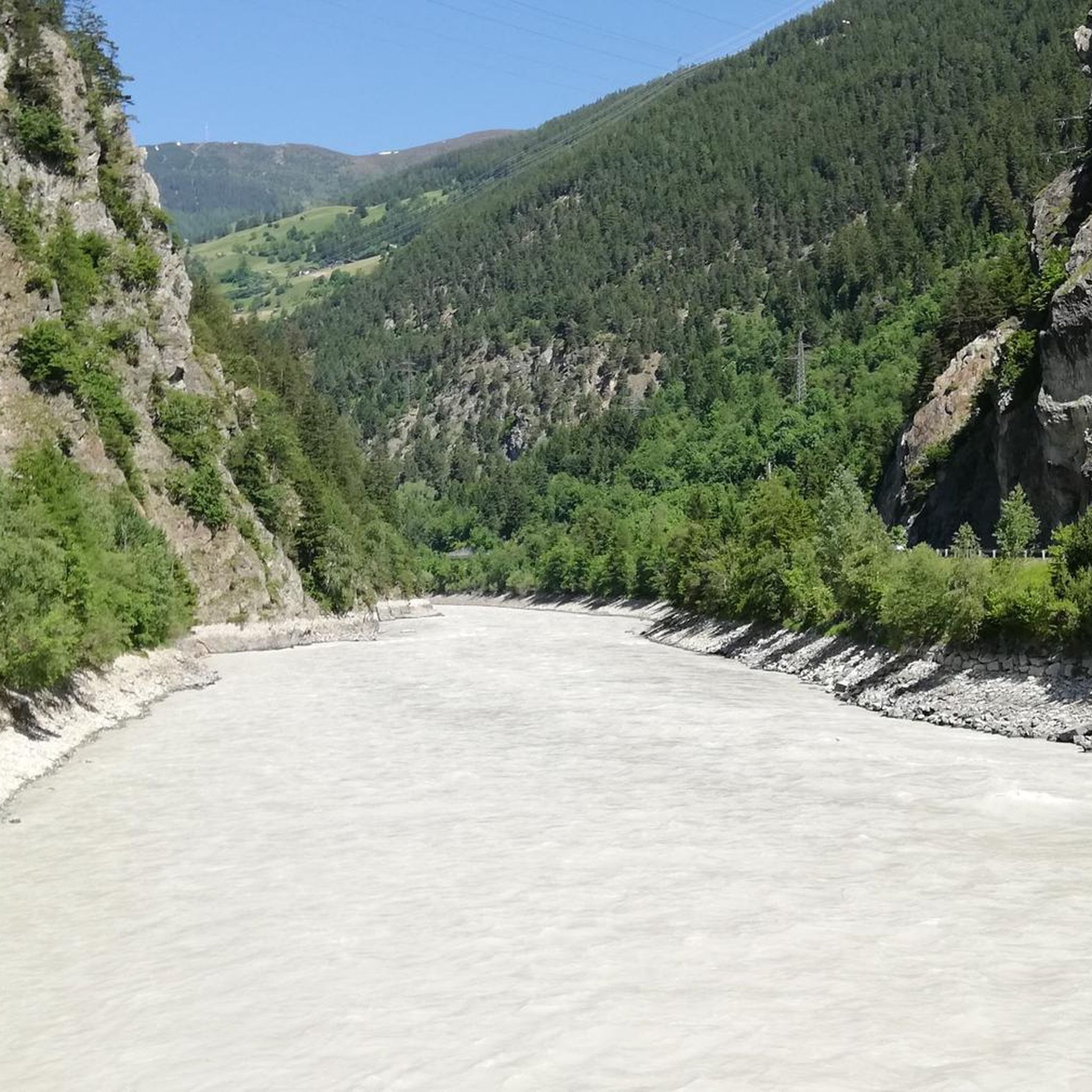
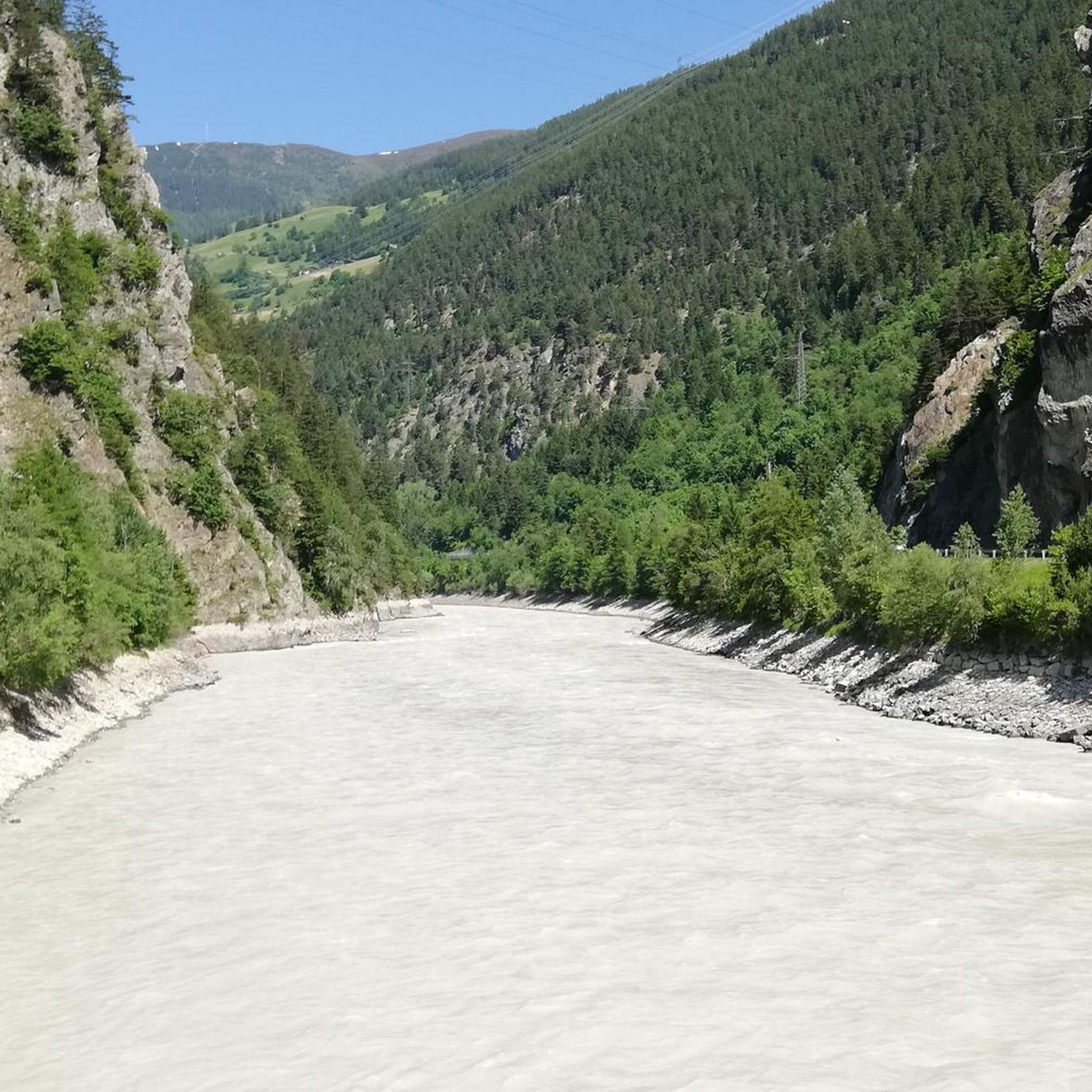
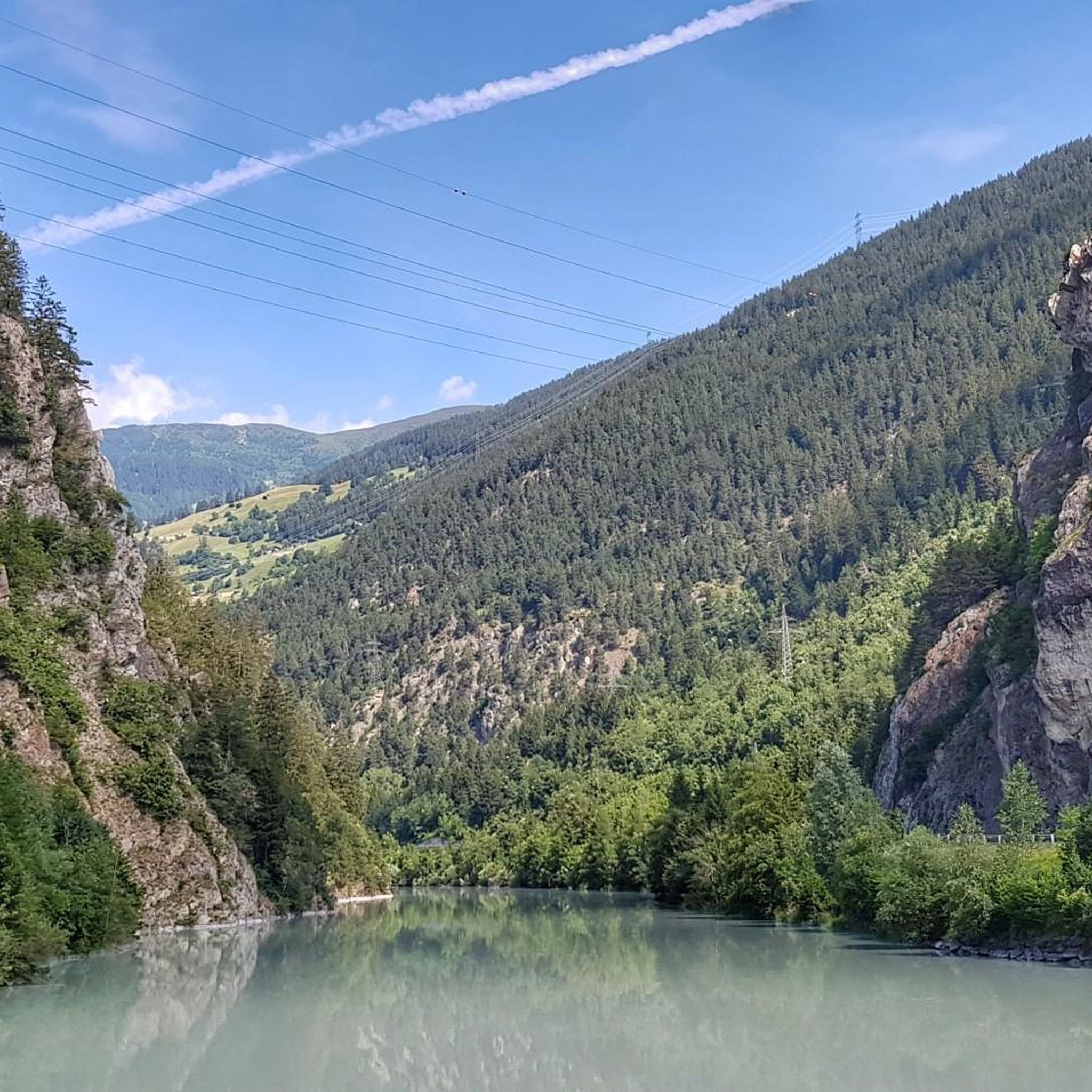
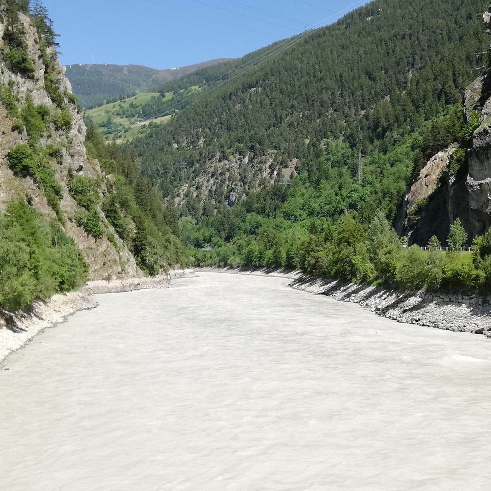
Gravel biking in Gogleswald offers routes through an alpine landscape characterized by valleys, hills, and mountain views. The region features varied terrain, including paths around natural lakes and along river valleys, with ascents leading to elevated viewpoints. Trails often traverse forested areas and open sections, providing diverse riding experiences.
Best gravel bike trails in Gogleswald
- The most popular gravel bike trail is View of Hohe Aifenspitze – Gogles Alm loop from Pillerhöhe, a 6.6 miles (10.6 km) trail that…
Last updated: July 3, 2026
6
riders
10.6km
01:22
500m
500m
Hard gravel ride. Very good fitness required. Mostly paved surfaces. Suitable for all skill levels.
5.0
(1)
30
riders
27.4km
02:48
890m
890m
Hard gravel ride. Very good fitness required. Mostly paved surfaces. Suitable for all skill levels.

Sign up for free
4.3
(3)
29
riders
37.1km
02:57
1,200m
1,200m
Hard gravel ride. Very good fitness required. Mostly paved surfaces. Suitable for all skill levels.
5.0
(1)
7
riders
9.73km
00:48
300m
300m
Moderate gravel ride. Good fitness required. Mostly paved surfaces. Suitable for all skill levels.
5.0
(2)
31
riders
53.8km
04:08
1,170m
1,170m
Hard gravel ride. Very good fitness required. Mostly paved surfaces. Suitable for all skill levels.
Get access to more routes and recommendations from other explorers.
Sign up for free
Already have an account?
Our route recommendations are based on thousands of hikes, rides, and runs completed by other people on komoot.
Start today with a free account
Your next adventure awaits.
Login or Signup
Popular around Gogleswald
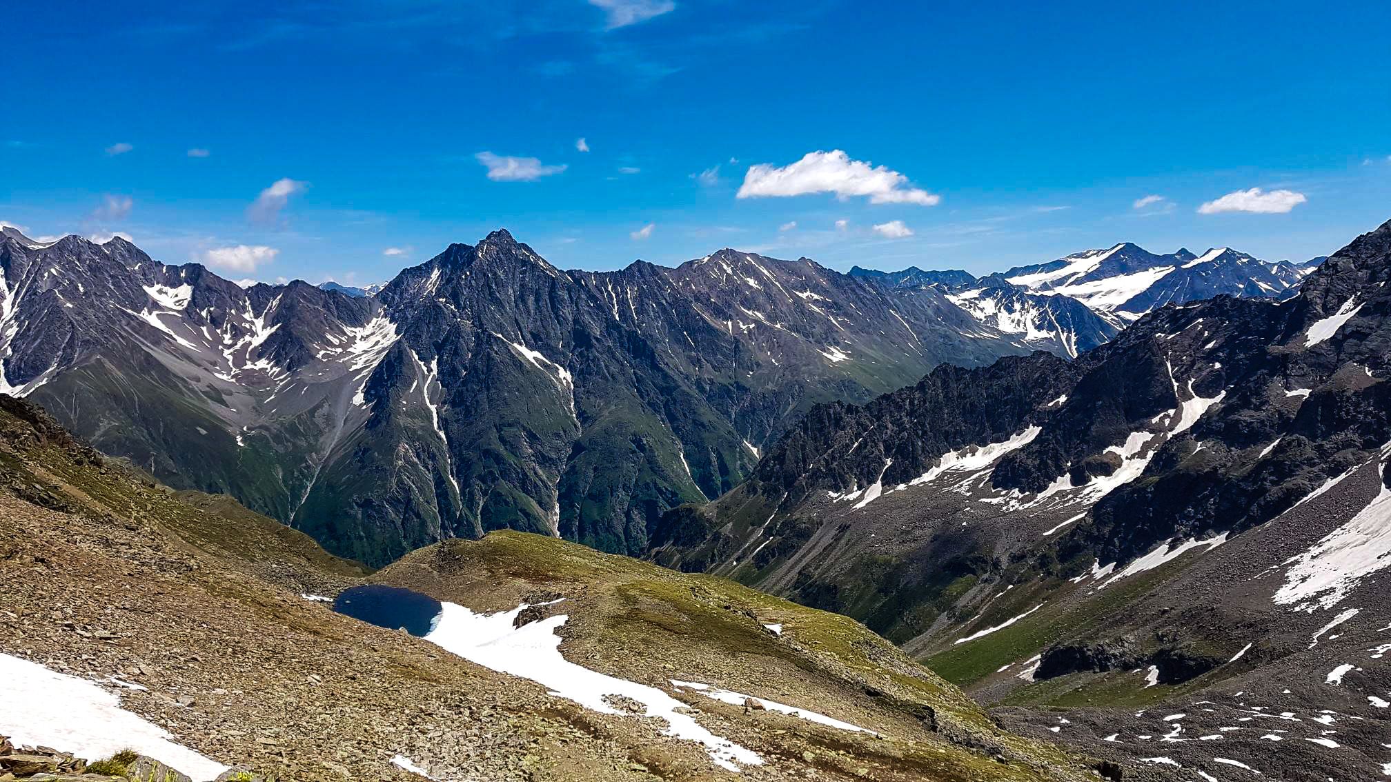
Kaunergrat circular hike in Austria – a dream for experienced mountaineers
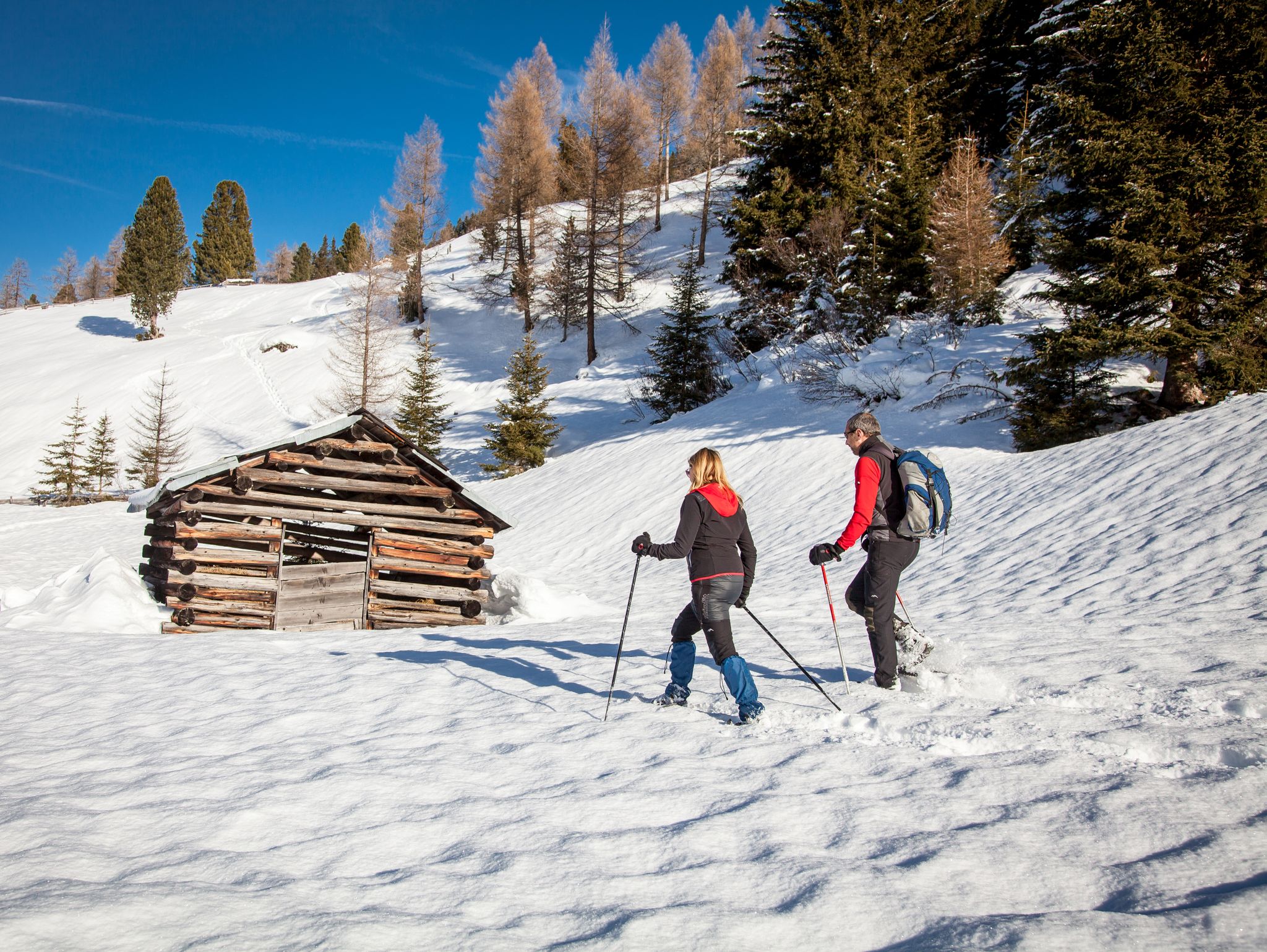
Banish the winter blues – the most beautiful winter routes in the Pitztal valley
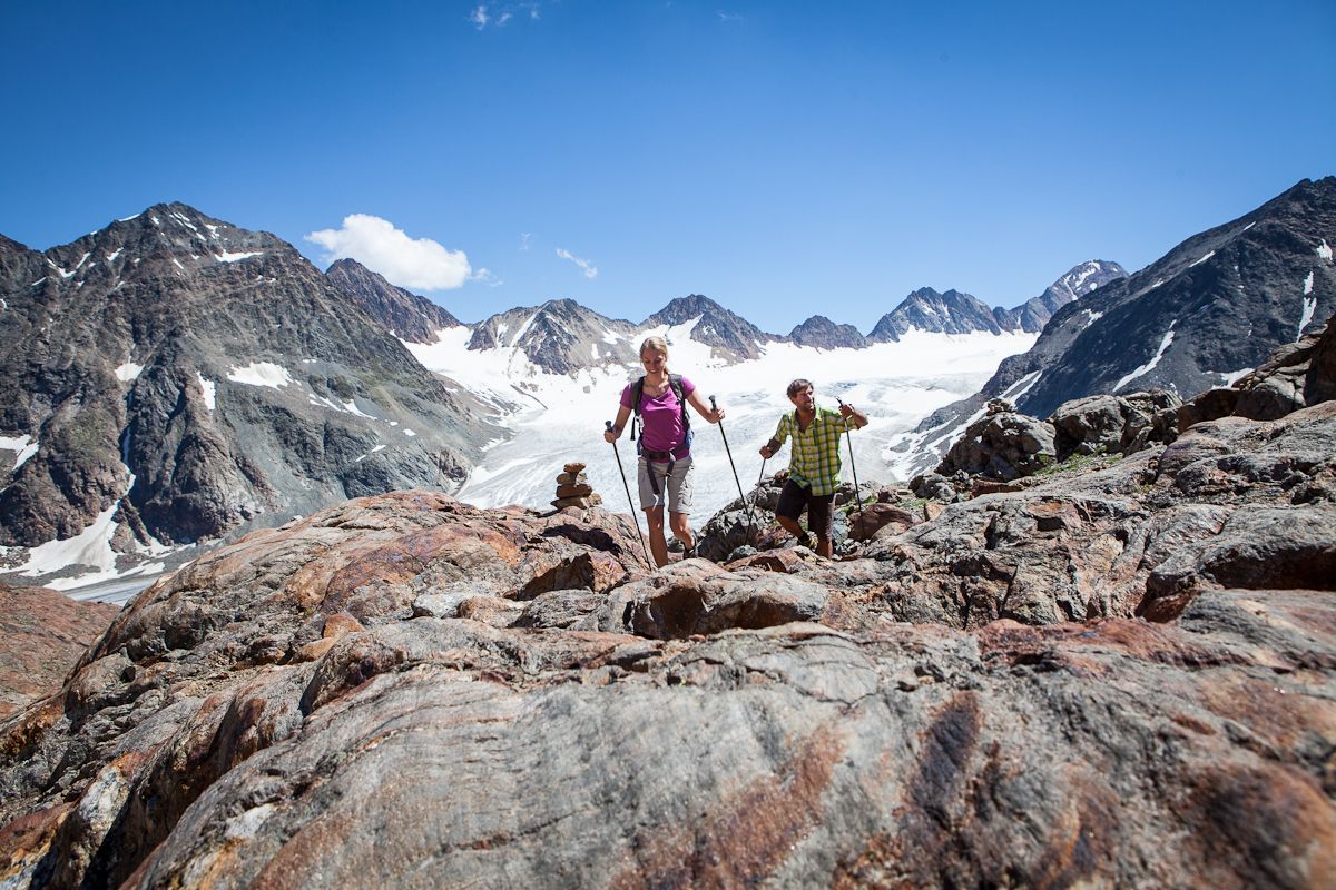
Diving into mountain adventure in the Pitztal valley
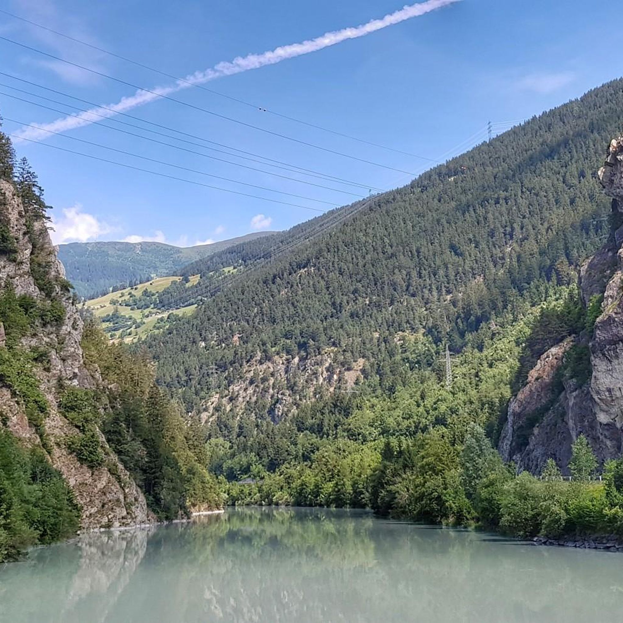
Hiking in Gogleswald
Road Cycling Routes in Gogleswald
Cycling in Gogleswald
MTB Trails in Gogleswald
Running Trails in Gogleswald

Mountain Hikes in Gogleswald
Other adventures in Gogleswald


Tips from the Community

Dream valley, surrounded by very green meadows.
0
0

The rock castle lies at the foot of the Samnaun group and towers on a vertical slate rock high above the Oberinntal. The residential tower was built in the early Middle Ages and first mentioned in documents in 1239.
0
0

Kath. Pfarrkirche Mariä Himmelfahrt (Maasskirche), Fließ Also called Maasskirche. For a long time, only the church tower spoke of an older construction history of the parish church, first mentioned around 1300. Extensive excavations inside the church during the recent restoration in 1991-93 have now uncovered much older building evidence that can be seen in the crypt. The oldest traces can be dated to the time of the Bavarian settlement around 530-620 AD. Reliable results about the church's design were only obtained after the new building, erected after a fire around 1200 in the form of a simple rectangle with a straight-closing choir. After a partial re-Gothicization in 1901-02 and only a makeshift repair of the church building, which was severely damaged by the fire on October 11, 1933, the church, fundamentally restored in 1991-93, now appears again in its most beautiful attire. The crypt serves the faithful as a memorial for the former Fließ pastor Alois Simon Maass, who was known far beyond the parish as an exemplary pastor and confessor, but also as a doctor and exorcist. Memorial plaques on the wall commemorate, in addition to Maass, two clerics born in the parish: Otto Neururer, who was the pastor of Götzens and was tortured to death for his faith in a concentration camp, as well as Franz Flür, who died as a priest and missionary in North Borneo at the hands of Japanese soldiers. The parish church is always open during the day. The crypt is also visited during museum tours. Text / Source: Infobüro Landeck, Malserstraße 47a, A-6500 Landeck https://tirolwest.at/de/kirchen/rid/1929131
14
0

A beautiful cycle path along the Inn River. Don't forget to make a detour to the town of Landeck.
2
0

Beautifully landscaped lake. However, dogs are not allowed on the right side. 😢
0
0


Wonderful cycle path along the Inn
1
1
Frequently Asked Questions
How many gravel bike trails are there in Gogleswald?
Gogleswald offers a good selection of gravel bike trails, with over 20 routes available on komoot. These range from moderate to difficult, providing options for various skill levels.
What is the best time of year for gravel biking in Gogleswald?
The alpine landscape of Gogleswald is generally best enjoyed during the warmer months, typically from late spring to early autumn. This period offers more stable weather conditions and clear trails, allowing you to fully appreciate the mountain views and forested sections.
Are there any easy gravel bike trails for beginners in Gogleswald?
While many routes in Gogleswald are rated moderate to difficult due to the alpine terrain, there are some options suitable for beginners. For example, the Wolfsee – View of Wolfsee loop from Ladis is a moderate 6.0-mile (9.7 km) trail that offers a scenic ride around the lake without overly challenging ascents.
Are there challenging gravel cycling routes for experienced riders?
Yes, experienced gravel bikers will find plenty of challenging routes in Gogleswald. Many of the 16 difficult routes feature significant elevation gains and technical sections. A good example is the Lader Pond – View of the Ötztal Alps loop from Ladis, which covers 23.0 miles (37.1 km) with over 1,100 meters of climbing, offering expansive views of the Ötztal Alps.
Can I find circular gravel bike routes in Gogleswald?
Most of the gravel bike routes in Gogleswald are designed as loops, making them convenient for starting and ending at the same point. This includes popular options like the View of Hohe Aifenspitze – Gogles Alm loop from Pillerhöhe and the Wodeturm Observation Tower – Schöngampalm loop from Ladis.
What kind of terrain can I expect on Gogleswald's gravel trails?
Gogleswald's gravel trails traverse a diverse alpine landscape. You can expect a mix of paths around natural lakes, along river valleys, and through forested areas. Many routes include ascents to elevated viewpoints, offering varied riding experiences with both open sections and sheltered forest paths.
What interesting sights or viewpoints can I find along the gravel bike trails in Gogleswald?
Many routes offer stunning views and pass by notable attractions. You might encounter viewpoints like the Gacher Blick Viewing Platform — View of the Inn Valley or the Stunning panoramic view from the observation tower. Some trails also lead past natural features such as the Forest Pond or historical sites like the Piller Sattel Bronze Age Sacrificial Site.
Is parking available near the gravel bike trails in Gogleswald?
Yes, parking is generally available at common starting points for trails in Gogleswald, particularly in towns like Ladis or near popular trailheads such as Pillerhöhe. Specific parking information can often be found in the tour descriptions on komoot.
Are there family-friendly gravel biking options in Gogleswald?
For families, routes with moderate difficulty and shorter distances are ideal. While the region is known for its alpine character, some trails around lakes or through flatter valley sections can be suitable. Always check the route's difficulty and elevation profile on komoot to ensure it matches your family's capabilities.
What do other gravel bikers say about the trails in Gogleswald?
The gravel biking routes in Gogleswald are highly rated by the komoot community, with an average score of 4.8 stars from over 50 reviews. Riders often praise the diverse terrain, the stunning alpine scenery, and the well-maintained paths that offer a rewarding experience for various skill levels.
What are some longer distance gravel cycling options in Gogleswald?
For those seeking longer rides, Gogleswald offers several routes exceeding 20 kilometers. The Wodeturm Observation Tower – Schöngampalm loop from Ladis is a challenging 17.0-mile (27.4 km) route, and the Lader Pond – View of the Ötztal Alps loop from Ladis extends to 23.0 miles (37.1 km), providing substantial distances for endurance riders.
Are there places to stop for food or drinks along the gravel routes?
Yes, many routes in Gogleswald pass through or near villages and alpine huts where you can find refreshments. For example, the View of Hohe Aifenspitze – Gogles Alm loop from Pillerhöhe passes by Gogles Alm, which often offers food and drinks. It's always a good idea to check opening times, especially outside peak season.
Most popular routes in Gogleswald
Most popular attractions in Gogleswald

Get inspired with the komoot mobile app


Explore more
Browse the best Gravel rides in other regions.
