The best gravel rides in Dubské Vrchy
9
riders
3
rides
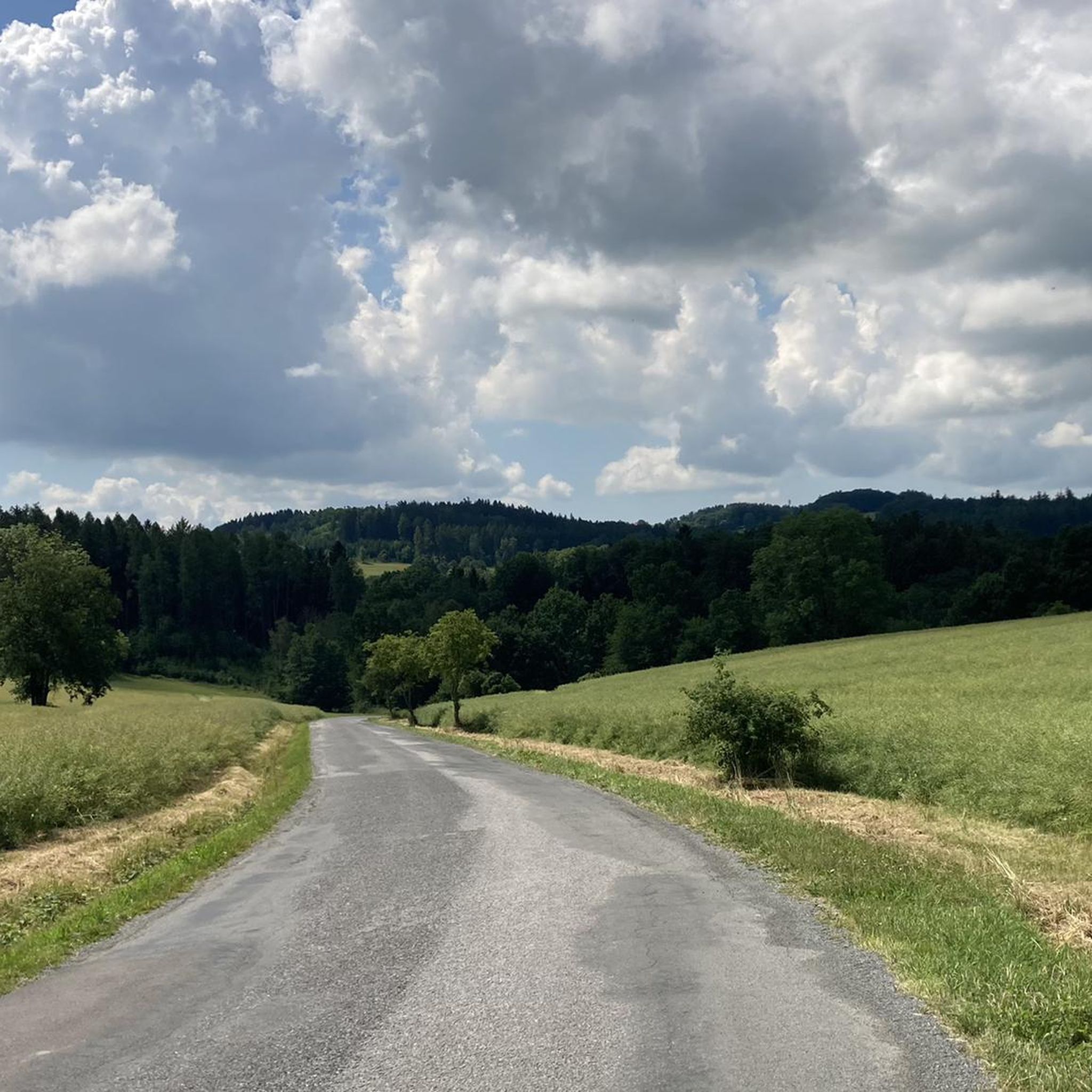
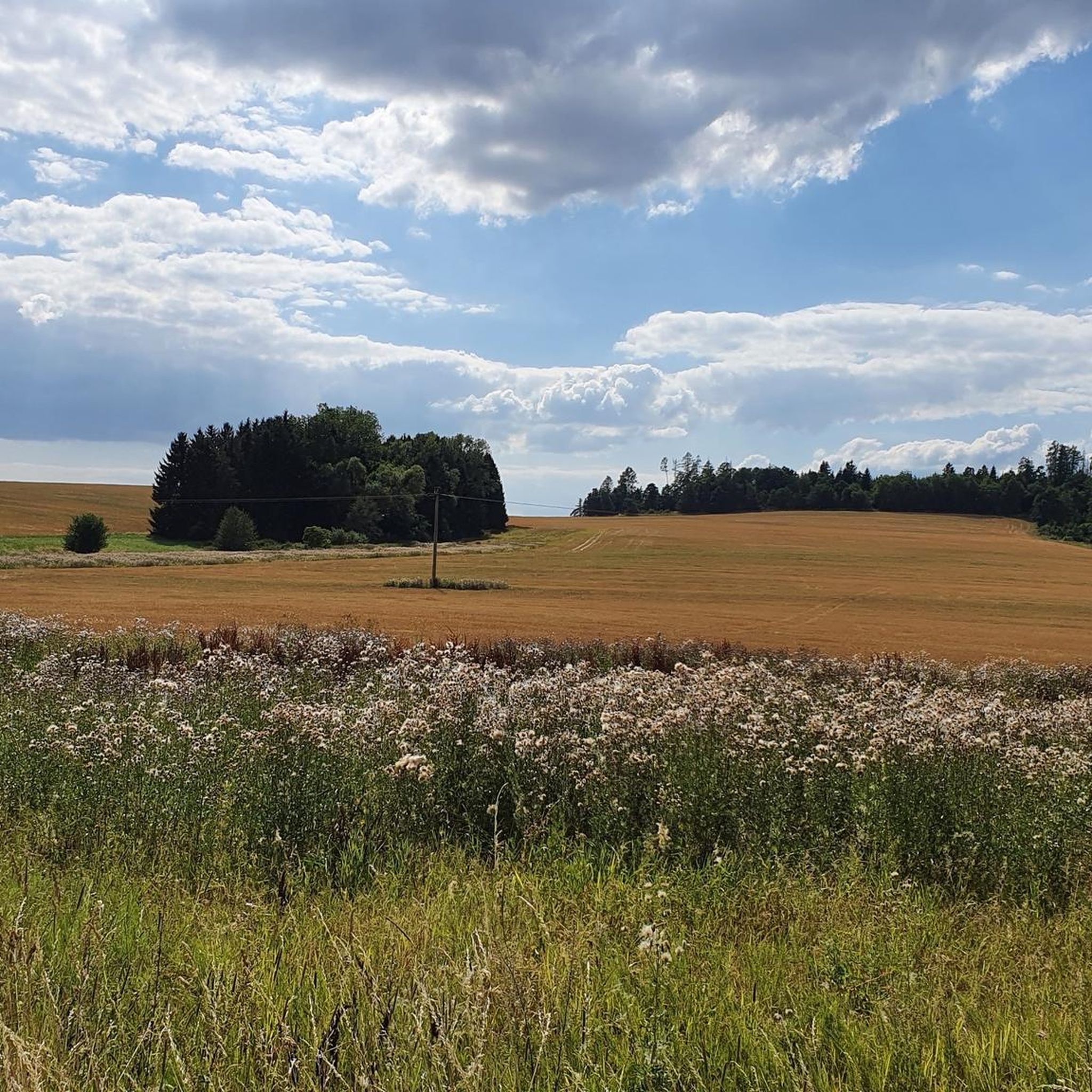
Gravel biking in Dubské Vrchy, a district within the Pacov Highlands, offers diverse landscapes in the South Bohemian Region. The terrain features wide, rounded peaks primarily composed of mica schists and mica gneisses. These elevations are largely covered by extensive, continuous forest complexes, dominated by spruce and pine. The highest point, Batkovy, reaches 724.2 meters above sea level, contributing to varied elevation profiles suitable for gravel riding.
Best gravel bike trails in Dubské Vrchy
- The most popular gravel bike trail…
Last updated: July 3, 2026
5
riders
41.6km
02:34
260m
260m
Moderate gravel ride. Good fitness required. Mostly paved surfaces. Suitable for all skill levels.
3
riders
32.2km
02:04
270m
270m
Moderate gravel ride. Good fitness required. Mostly paved surfaces. Suitable for all skill levels.

Sign up for free
1
riders
42.9km
02:50
320m
320m
Moderate gravel ride. Good fitness required. Mostly paved surfaces. Suitable for all skill levels.
Our route recommendations are based on thousands of hikes, rides, and runs completed by other people on komoot.
Start today with a free account
Your next adventure awaits.
Login or Signup


Tips from the Community

beautiful everything has aged cycle path is the street here
0
0

Bridge with bike path and nice view of the river.
0
0
Storks have built a nest on the old chimney.
0
0
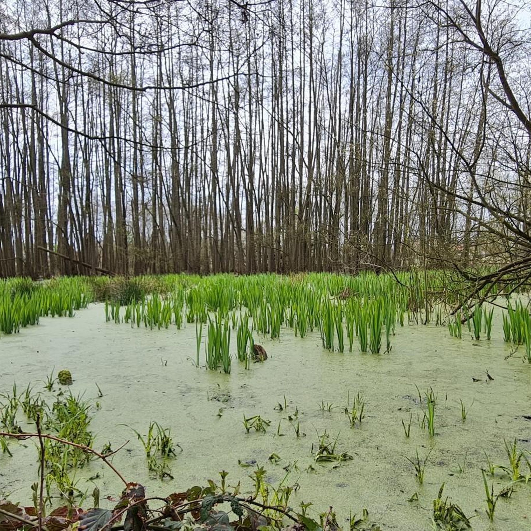
Nice path along the Ludnize. After a rainy night, some puddles and slightly muddy sections, but still good to ride
0
0

... if you wait for the right moment :)
0
0

Large main square with a beautiful church and renovated old buildings.
0
0
From the bridge you have a beautiful view of the river landscape
0
0
Frequently Asked Questions
How many gravel bike trails are available in Dubské Vrchy?
Komoot features 6 gravel bike routes in Dubské Vrchy. All of these routes are rated as moderate, offering a good balance for various skill levels.
What kind of terrain can I expect on gravel bike trails in Dubské Vrchy?
The terrain in Dubské Vrchy is characterized by wide, rounded peaks, primarily composed of mica schists and mica gneisses. You'll ride through extensive, continuous forest complexes dominated by spruce and pine, with occasional beech, linden, and maple. The varied topography provides both challenging ascents and scenic rides, typical for gravel biking.
Are there any family-friendly gravel biking options in Dubské Vrchy?
While all routes are currently rated as moderate, the varied topography means some sections might be more suitable for families with older children or those comfortable with moderate climbs. For a shorter, scenic option, consider the Kozí Hrádek Educational Trail – Eastern Bloc Architecture Street loop from Tábor, which is 23.1 km long.
What are the typical distances and durations for gravel bike routes in this region?
Gravel bike routes in Dubské Vrchy vary in length, generally ranging from approximately 23 km to 43 km. You can expect ride durations from about 1 hour 40 minutes to over 3 hours, depending on the specific route and your pace. For example, the Path Along the Ludnize – Bridge Over the Lužnice loop from Sezimovo Ústí is 42 km and takes around 3 hours 6 minutes.
Are there any circular gravel bike routes in Dubské Vrchy?
Yes, all the gravel bike routes listed in this guide are circular loops, making them convenient for starting and ending at the same point. Examples include the Old Town Tábor – Žižka Square Tábor loop from Tábor and the Path Along the Ludnize – Bridge Over the Lužnice loop from Tábor.
What is the best time of year to go gravel biking in Dubské Vrchy?
Dubské Vrchy experiences a hemiboreal climate with an average annual temperature of 7°C. This makes it pleasant for outdoor pursuits for much of the year. Spring and autumn generally offer comfortable temperatures and beautiful scenery, while summer can also be enjoyable, especially in the shaded forest sections. Always check local weather forecasts before heading out.
Are there any historical or natural landmarks to see along the gravel bike trails?
Yes, beyond the natural beauty of the forests and rounded peaks, you can explore the region's history. The "Stříbrná osmička" (Silver Eight) educational trail introduces visitors to the history of silver mining, which was prominent between 1580 and 1618. While not directly on all gravel routes, some trails, like the Kozí Hrádek Educational Trail – Eastern Bloc Architecture Street loop from Tábor, offer a glimpse into the area's past.
What are the elevation gains like on gravel bike routes in Dubské Vrchy?
The routes in Dubské Vrchy feature varied elevation profiles due to the region's rounded peaks. You can expect elevation gains typically ranging from around 200 meters to over 300 meters per route. For instance, the Bridge Over the Lužnice – Path Along the Ludnize loop from Sezimovo Ústí has an elevation gain of approximately 315 meters.
Are there options for parking near the gravel bike trailheads?
Many of the routes start from towns like Tábor or Sezimovo Ústí, which typically offer public parking facilities. It's advisable to check specific parking options for your chosen starting point before your ride. These towns serve as convenient access points to the trail network.
Can I find cafes or accommodation near the gravel bike trails in Dubské Vrchy?
Yes, as many routes start or pass near towns such as Tábor and Sezimovo Ústí, you'll find amenities like cafes, restaurants, and accommodation options. These towns are well-equipped to cater to visitors and provide convenient stops for refreshments or overnight stays.
Are there any specific cycling routes designated for gravel biking in Dubské Vrchy?
The region is well-recognized for its gravel biking potential, with platforms highlighting suitable terrain. While there's a general cycling route numbered 1172 spanning 37 km, the komoot routes provided in this guide are specifically curated for gravel bikes, taking advantage of the varied topography and forest trails.
Most popular routes in Dubské Vrchy

Get inspired with the komoot mobile app


Explore more
Browse the best Gravel rides in other regions.
