The best gravel rides in Hauwald
4.6
(47)
285
riders
70
rides
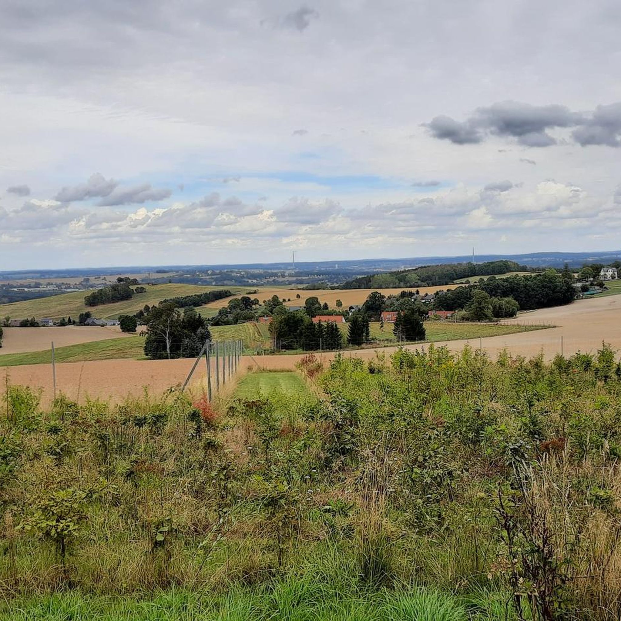
Gravel biking in Hauwald features a network of routes traversing varied terrain, characterized by a mix of forested areas and open landscapes. The region presents elevation changes that range from gentle slopes to more challenging ascents. Gravel bike trails in Hauwald often follow established paths and unpaved roads, providing a diverse riding experience. The area's geography supports both shorter, less demanding rides and longer, more strenuous routes across rolling hills.
Best gravel bike trails in Hauwald
- The most popular gravel…
Last updated: October 6, 2026
4.0
(3)
7
riders
36.4km
02:13
410m
410m
Moderate gravel ride. Good fitness required. Mostly paved surfaces. Suitable for all skill levels.
5.0
(1)
2
riders
Moderate gravel ride. Good fitness required. Mostly paved surfaces. Suitable for all skill levels.

4.7
(3)
14
riders
Moderate gravel ride. Good fitness required. Mostly paved surfaces. Suitable for all skill levels.
5.0
(1)
12
riders
20.6km
01:13
200m
200m
Moderate gravel ride. Good fitness required. Mostly paved surfaces. Suitable for all skill levels.
4
riders
47.8km
03:09
620m
620m
Hard gravel ride. Very good fitness required. Mostly paved surfaces. Suitable for all skill levels.
Get access to more routes and recommendations from other explorers.
Already have an account?
Our route recommendations are based on thousands of hikes, rides, and runs completed by other people on komoot.
Start today with a free account
Your next adventure awaits.
Tips from the Community

Place exit towards Dorfchemnitz
0
0

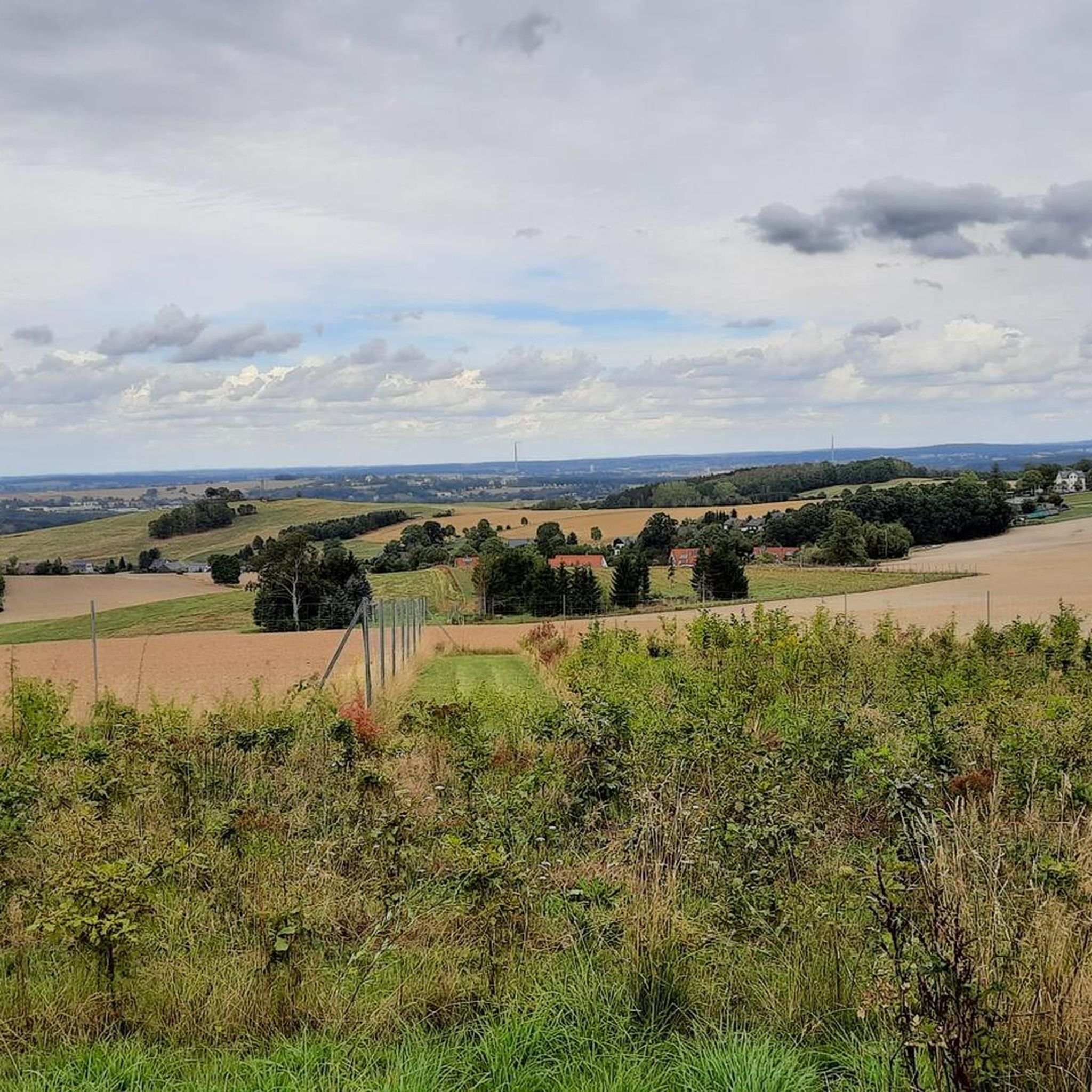
Very nice tour and lots of great views.
0
0

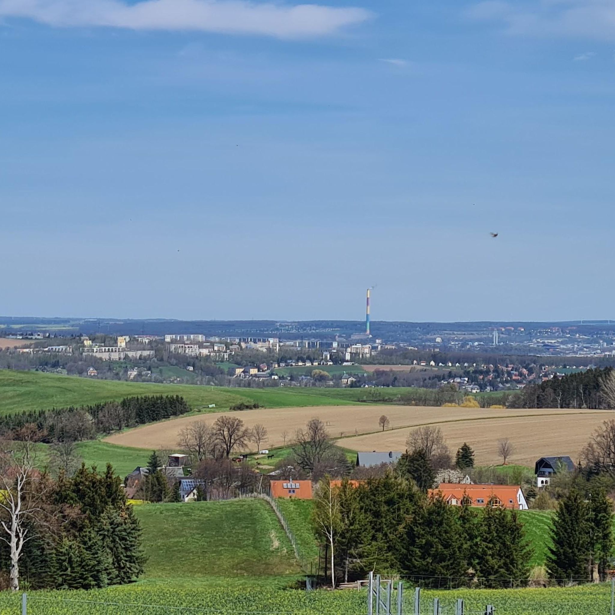
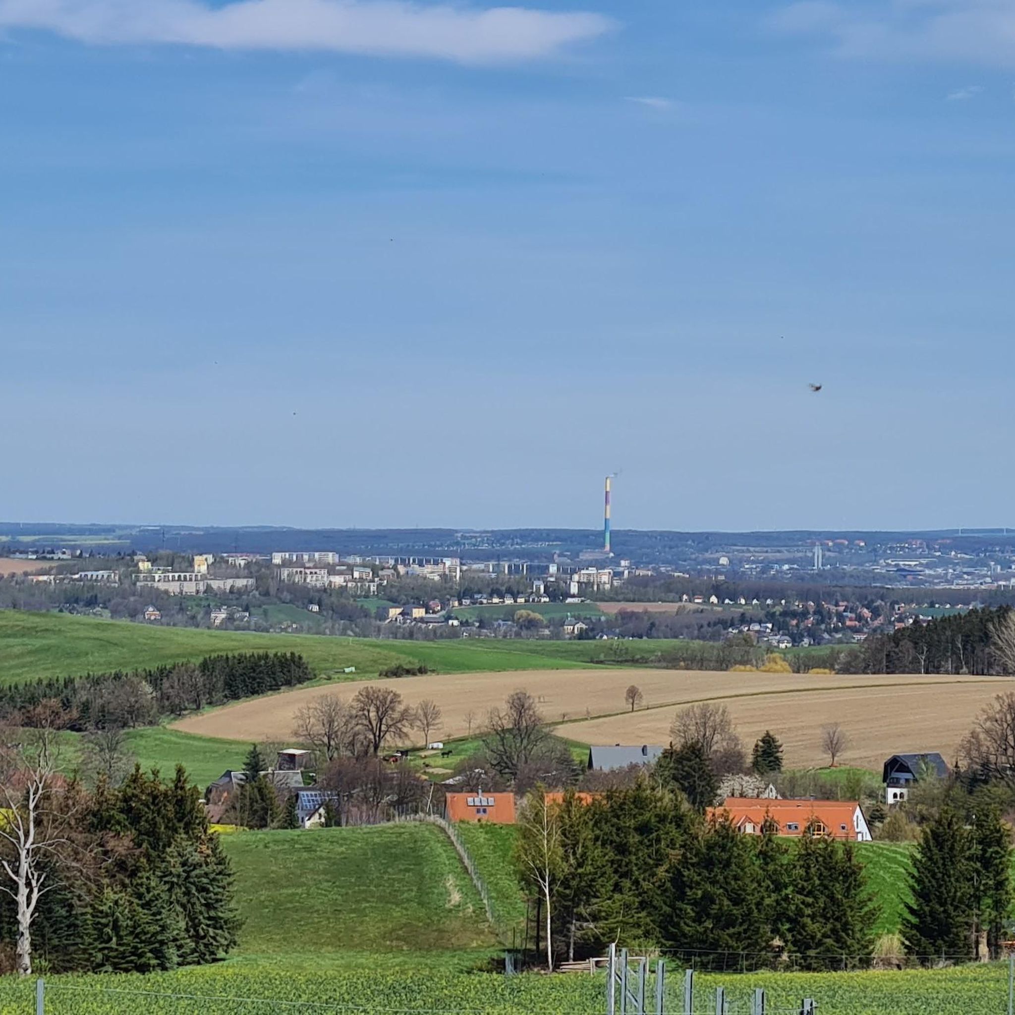
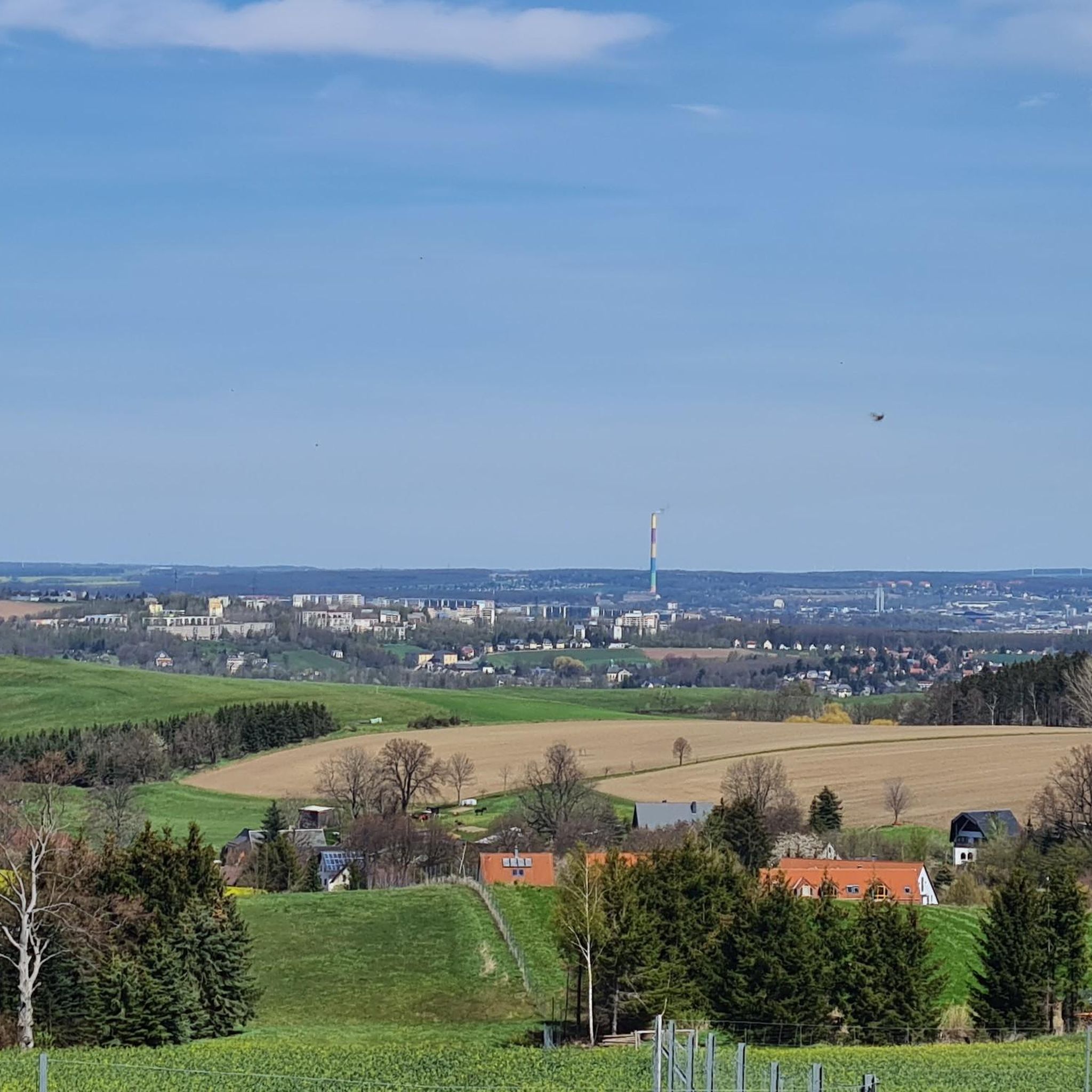
Zwäntzer „Lieblingsplatzl“ in new attire since November 2024. "It's a magnificent view over our hometown from the old railway track across the valley towards the tower of the Holy Trinity Church and on to Ziegenberg, when it's not raining. A place to pause and be grateful that we can live so idyllically. Here you can enjoy the vastness and feel a sense of belonging." In May 2024, two wave benches were purchased for this beautiful "Platzl" and a photo frame was added later. https://zwoenitzer-anzeiger.de/2024/11/12/zwaentzer-lieblingsplatzl-in-neuem-gewand/
1
0
The Richterbusch reservoir is a small but clean body of water, north of Zwönitz. The small lake has a size of 1.5 hectares and is lined with trees. The triangular reservoir has a small island on the north side. The bank in the north is overgrown with overhanging trees. The south bank has a nice open fishing spot with parking. https://www.fisch-hitparade.de/gewaesser/stau-richterbusch/
1
0
The Iron Trail is a high-altitude trail in the Ore Mountains, whose historical route follows the northern edge of the Ore Mountains. According to local history, it was used as early as the Middle Ages for transporting iron ore from the Schneeberg area. The route, still marked today, runs from Katzenstein near Affalter and through the Streitwald forest to Tabakstanne, continuing through the Bürgerwald forest, past the Schwarzes Kreuz memorial, to Harthauer Berg, located south of Chemnitz on Federal Highway 95. Today, the Iron Trail is a popular route for hikers and cyclists, connecting the area south of Chemnitz with the hiking trails of the central Ore Mountains. Source: Wikipedia https://de.wikipedia.org/wiki/Eisenweg_(Erzgebirge)
0
0

Drives well.
0
0

It's just beautiful here😊.
0
1

Not Forbach! It's the Forzbachl spring. Even if it sounds rude.
4
0
Frequently Asked Questions
How many gravel bike trails are available in Hauwald?
Hauwald offers a wide selection of gravel bike trails, with over 120 routes documented on komoot. These range from easy rides to more challenging excursions, ensuring options for various skill levels.
What are the difficulty levels of gravel biking in Hauwald?
The gravel bike trails in Hauwald cater to all experience levels. You'll find 12 easy routes perfect for beginners, 56 moderate trails for those seeking a bit more challenge, and 59 difficult routes for experienced riders looking for strenuous ascents and longer distances.
Are there any beginner-friendly gravel bike routes in Hauwald?
Yes, Hauwald has several beginner-friendly options. An excellent choice is the Old Brickyard Recreation Area – Ursprung Station loop from Pfaffenhain. This 12.5-mile (20.0 km) route is rated easy and features a moderate elevation gain, making it suitable for those new to gravel biking.
Where can I find challenging gravel bike trails in Hauwald?
For a more challenging experience, consider the Klaffenbach Water Castle – Chemnitz City Park loop from Thalheim/Erzgebirge. This route spans over 37 miles (60 km) and features significant elevation changes, providing a demanding ride for advanced gravel bikers.
Are there circular gravel routes in Hauwald?
Many of Hauwald's gravel bike trails are designed as loops, offering convenient circular routes. For example, the Eisenweg Meinersdorf–Brünlos – View of Brünlos loop from Pfaffenhain is a popular moderate 22.3-mile (35.9 km) circular path that combines forest sections with open views.
What is the best time of year for gravel biking in Hauwald?
Gravel biking in Hauwald is enjoyable throughout much of the year. Spring and autumn offer pleasant temperatures and vibrant scenery. While winter conditions can vary, some trails may be accessible, but it's always advisable to check local weather forecasts and trail conditions before heading out.
Are there any scenic viewpoints or attractions along the gravel trails?
Yes, Hauwald's trails often pass by interesting sights. You might encounter the Eisenweg, or discover natural features like the Pure drinking water spring by the tree trunk with a face. The Old Brickyard Recreation Area – Klaffenbach Water Castle loop from Stollberg Schlachthofstraße also offers varied landscapes.
Are there places to rest or find refreshments along the routes?
Yes, some routes pass by facilities where you can take a break. The Jägerhorn Rest Area and Kampenhütte are examples of spots where you might find amenities. Always check the specific route details for available facilities.
What do other gravel bikers enjoy most about Hauwald?
The komoot community highly rates gravel biking in Hauwald, with an average score of 4.6 stars from over 70 reviews. Riders often praise the diverse terrain, which includes a mix of forested paths, open fields, and rolling hills, providing a varied and engaging experience for all skill levels.
Are there any hidden gem gravel routes in Hauwald?
For a route that takes you through natural areas and past ponds, the Lohwald Nature Trail and Pond – Christel ground pond loop from Thalheim Mitte is a great option. This 7.5-mile (12.1 km) trail offers a peaceful ride away from more frequented paths.
Is it possible to access Hauwald gravel trails using public transport?
While many routes start from towns like Pfaffenhain or Thalheim Mitte, which may have public transport connections, specific trailheads with direct public transport access can vary. It's recommended to check local transport schedules and route starting points on komoot for the most up-to-date information.
Most popular routes in Hauwald
Most popular attractions in Hauwald

Get inspired with the komoot mobile app


Explore more
Browse the best Gravel rides in other regions.
