The best gravel rides in Rothleiten
4.3
(24)
100
riders
16
rides
Gravel biking in Rothleiten features routes that navigate a landscape characterized by river valleys, rock formations, and reservoir areas. The region includes features like the Selbitz river and the Höllental valley, providing varied terrain for gravel cyclists. Elevation changes are present, with some routes featuring significant climbs, making it suitable for different skill levels. The area offers a mix of natural paths and established trails.
Best gravel bike trails in Rothleiten
- The most popular gravel bike trail is Höllental along…
Last updated: October 6, 2026
4.5
(2)
6
riders
Hard gravel ride. Very good fitness required. Mostly paved surfaces. Suitable for all skill levels.
5.0
(3)
13
riders
Hard gravel ride. Very good fitness required. Mostly paved surfaces. Suitable for all skill levels.

3.0
(1)
5
riders
34.1km
02:17
540m
540m
Hard gravel ride. Very good fitness required. Mostly paved surfaces. Suitable for all skill levels.
4.6
(11)
38
riders
60.7km
04:04
970m
970m
Hard gravel ride. Very good fitness required. Mostly paved surfaces. Suitable for all skill levels.
4.7
(3)
9
riders
51.9km
03:32
1,040m
1,040m
Hard gravel ride. Very good fitness required. Mostly paved surfaces. Suitable for all skill levels.
Get access to more routes and recommendations from other explorers.
Already have an account?
Our route recommendations are based on thousands of hikes, rides, and runs completed by other people on komoot.
Start today with a free account
Your next adventure awaits.
Tips from the Community

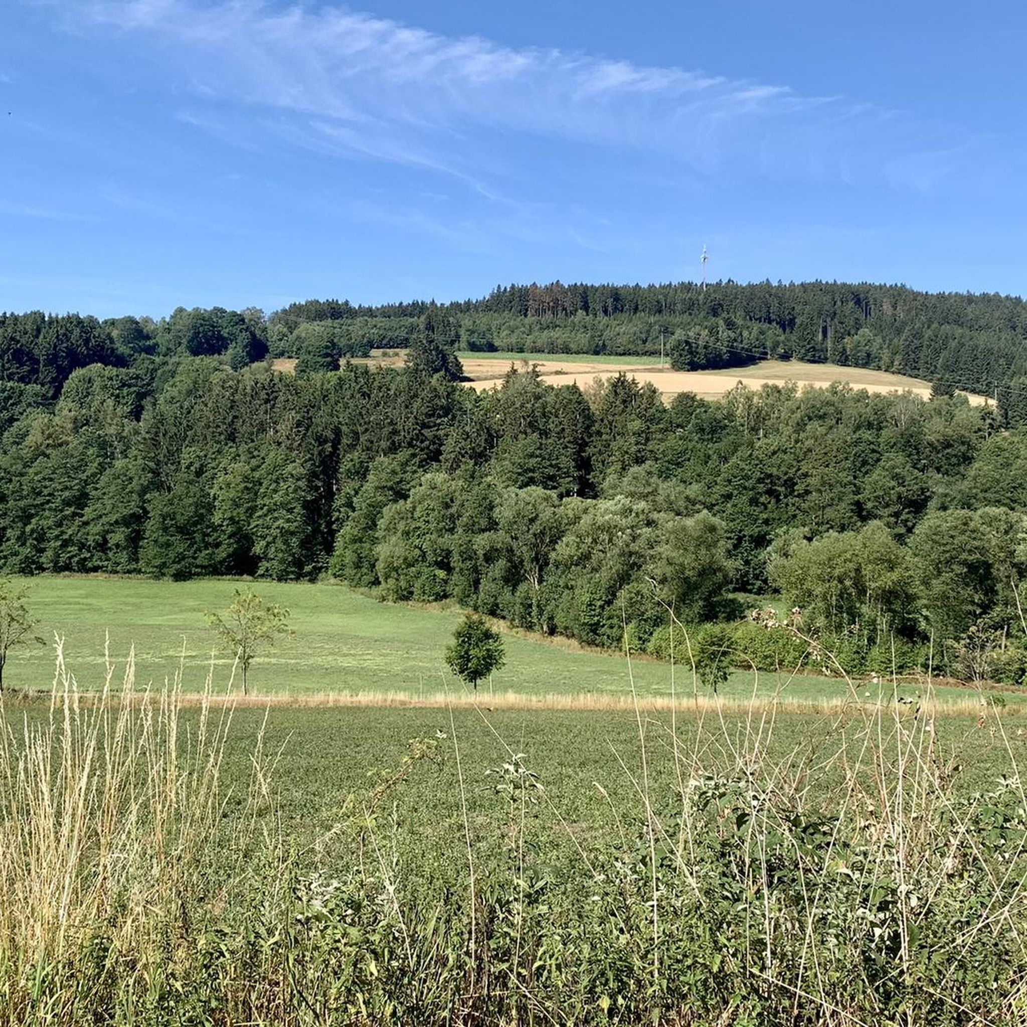
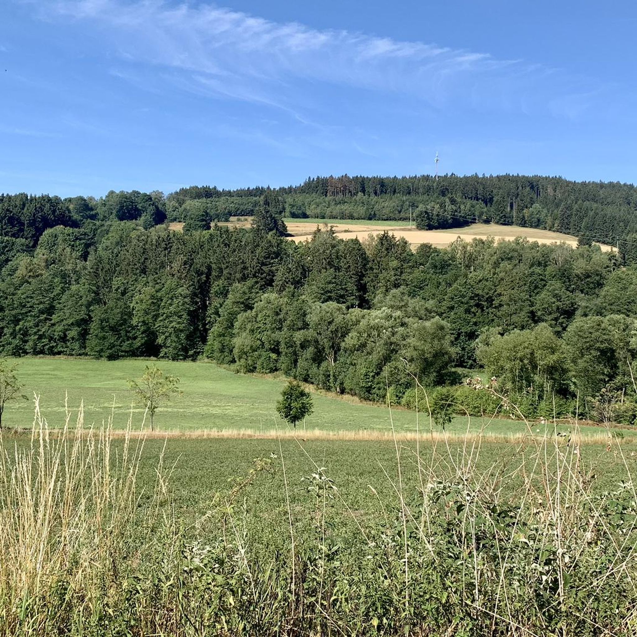
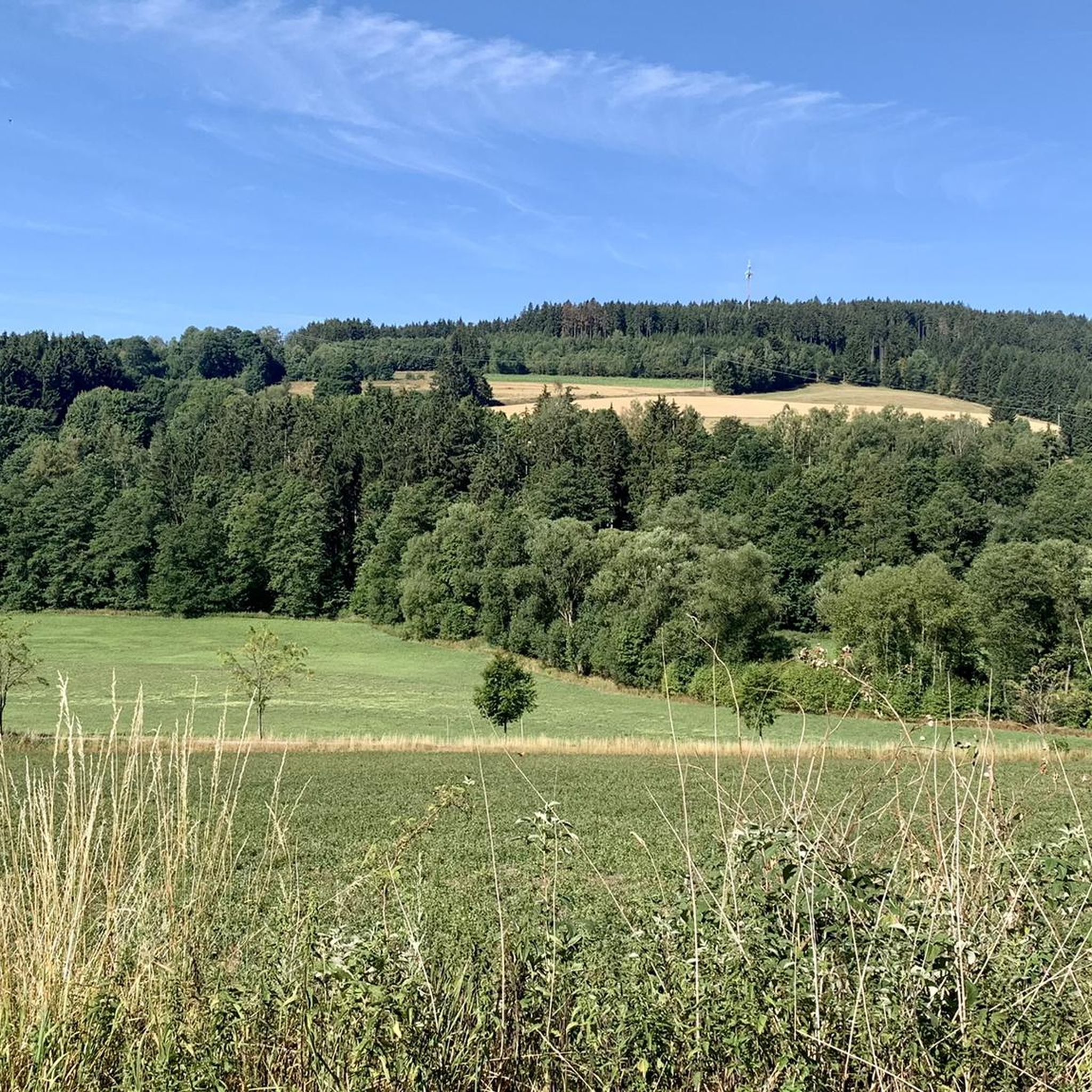
Imposing rock formations and natural river sections of the Selbitz. Views of striking rocks such as the Hirschsprung and the König David. Historic river crossings such as the Jungfernsteg and the Teufelssteg.
1
0

From the bridge, you have a very nice view of both sides of the reservoir
0
0


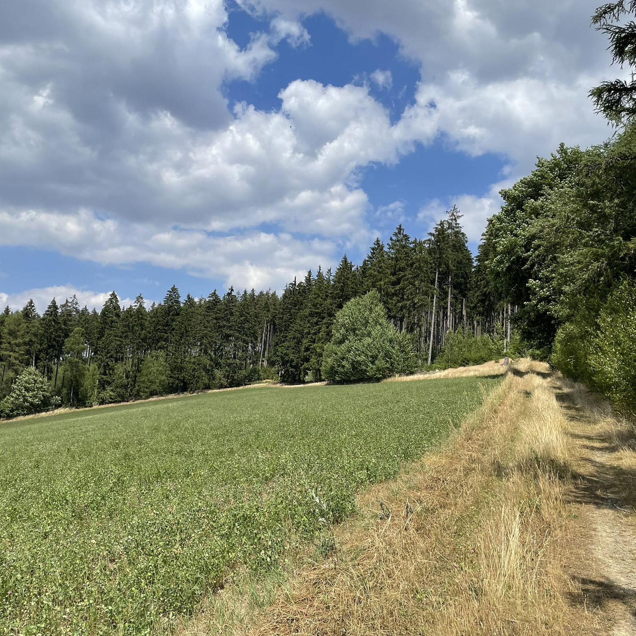
Great bike path, part unpaved (gravel), most of it asphalted 👍🚵
0
0

The Rennsteig Trail ends at this bridge—the border between Thuringia and Bavaria. Here, the pebbles collected from the Werra in Hörschel are transferred to the Selbitz River.
9
0


At various points you always have a beautiful view of the side arms of the Bleiloch reservoir
2
0
Frequently Asked Questions
How many gravel bike trails are available in Rothleiten?
Rothleiten offers a diverse network of over 25 gravel bike trails. These routes navigate river valleys, rock formations, and reservoir areas, providing varied terrain for cyclists.
Are there any easy gravel bike trails in Rothleiten for beginners?
While the region features many challenging routes, there are moderate options suitable for those looking for a less strenuous ride. For example, the Höllental along the Selbitz – View of Hirschsprung Rock loop from Parkeisenbahn is a moderate 29.7 km trail that follows the Selbitz river.
What are the options for advanced gravel bikers in Rothleiten?
Advanced gravel bikers will find plenty of challenging routes with significant elevation gains. The Jungfernsteg Bridge – Selbitz Bridge loop from Parkeisenbahn is a difficult 62.3 km path with over 1000 meters of elevation gain, connecting two bridges along the Selbitz.
Are there any circular gravel bike routes in Rothleiten?
Yes, many of the gravel bike trails in Rothleiten are designed as loops. For instance, the View of Hirschsprung Rock – Höllental along the Selbitz loop from Issigau is a popular 33.7 km circular trail through the Höllental valley.
What kind of scenery can I expect along the gravel bike trails in Rothleiten?
The routes in Rothleiten are characterized by scenic river valleys, impressive rock formations, and tranquil reservoir areas. You'll encounter features like the Selbitz river and the Höllental valley, offering a mix of natural paths and established trails.
What are some interesting landmarks or attractions to see along the routes?
Along the gravel bike trails, you can discover several points of interest. These include the Dr. Köhl Memorial Stone, the Beyer Quarry, and the Shepherd's Stone. You might also pass sections like the trail section at Weißen Fels along the Selbitz cycle path.
What do other gravel bikers say about the trails in Rothleiten?
The gravel biking routes in Rothleiten are highly regarded by the komoot community, holding an average rating of 4.6 stars from over 25 reviews. Cyclists often praise the varied terrain, the scenic river valleys, and the challenging climbs available.
Are there any routes that explore reservoir areas?
Yes, Rothleiten offers gravel biking routes that take you around reservoir areas. The Bleiloch Dam – Bleiloch Reservoir loop from Blankenstein (Saale) is a challenging 60.3 km route exploring this landscape.
What is the best season for gravel biking in Rothleiten?
While gravel biking is enjoyable year-round, spring and autumn often provide the most comfortable temperatures and beautiful scenery with changing foliage. Summer can be great, but be prepared for warmer weather, especially on routes with significant climbs.
Are there any long-distance gravel bike routes in the region?
For those seeking longer rides, Rothleiten has several extensive routes. The Ködel Reservoir – Ködel Reservoir loop from Blankenstein (Saale) is a difficult 51.4 km trail with over 1000 meters of elevation, offering a substantial challenge.
What kind of terrain can I expect on the gravel bike trails?
The terrain in Rothleiten is quite varied, ranging from natural paths along riverbanks to more established trails. You'll encounter a mix of surfaces suitable for gravel bikes, often featuring ascents and descents as you navigate the region's valleys and rock formations.
Most popular routes in Rothleiten
Most popular attractions in Rothleiten

Get inspired with the komoot mobile app


Explore more
Browse the best Gravel rides in other regions.
