The best gravel rides in Forst Aurora
4.5
(4)
73
riders
25
rides
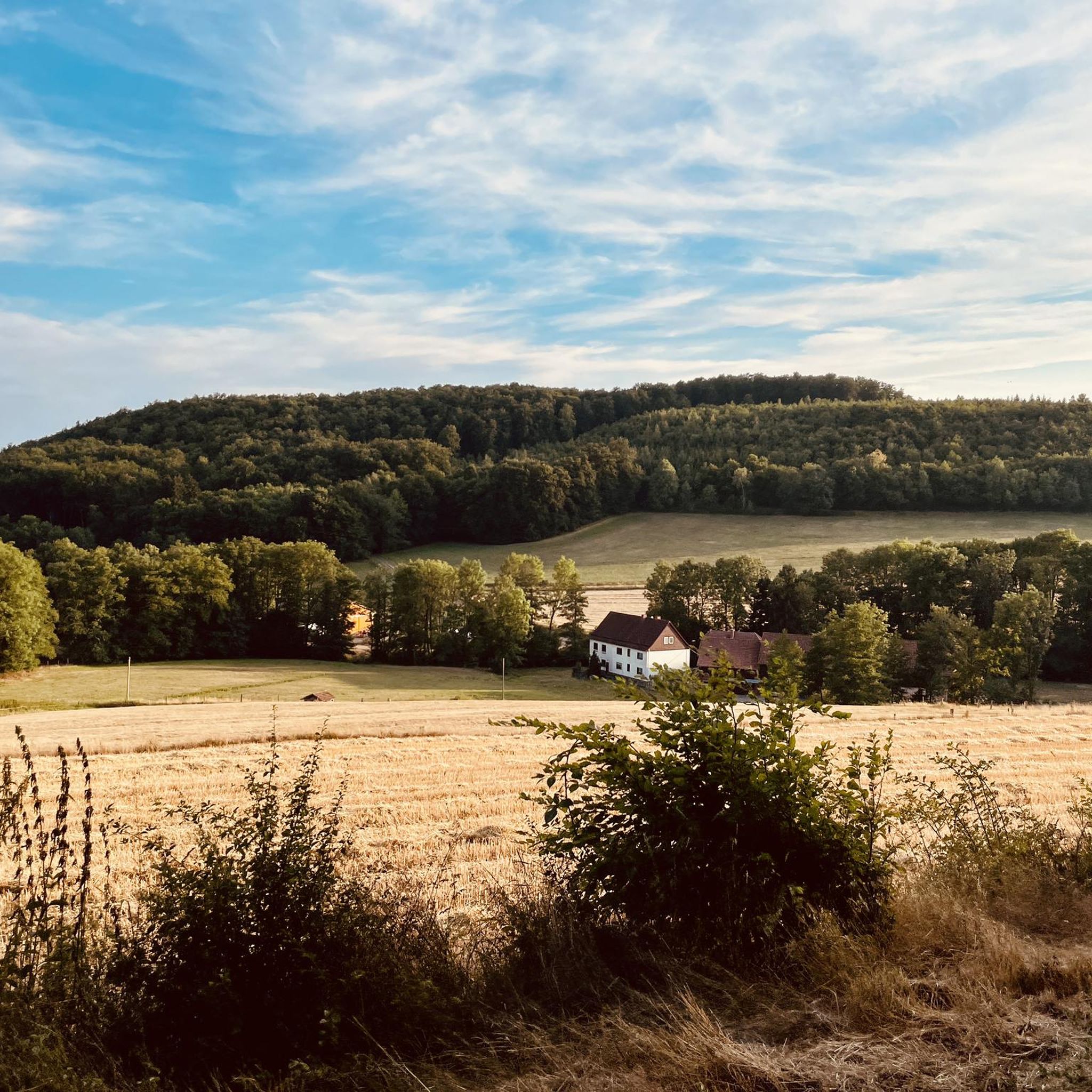
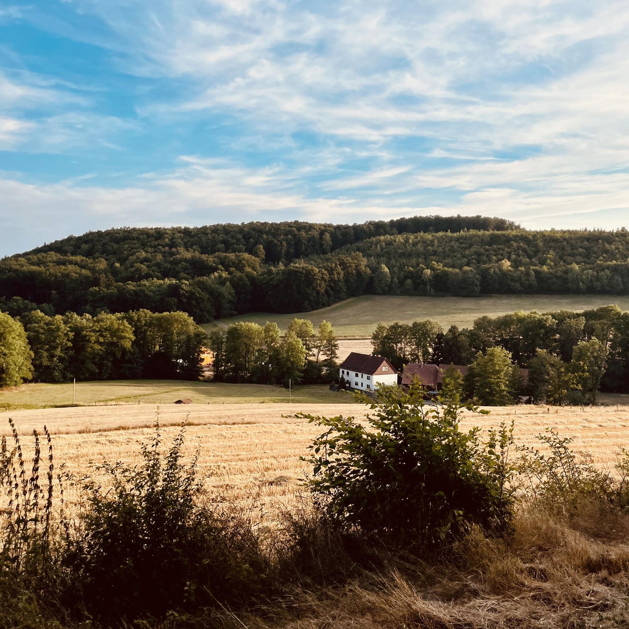
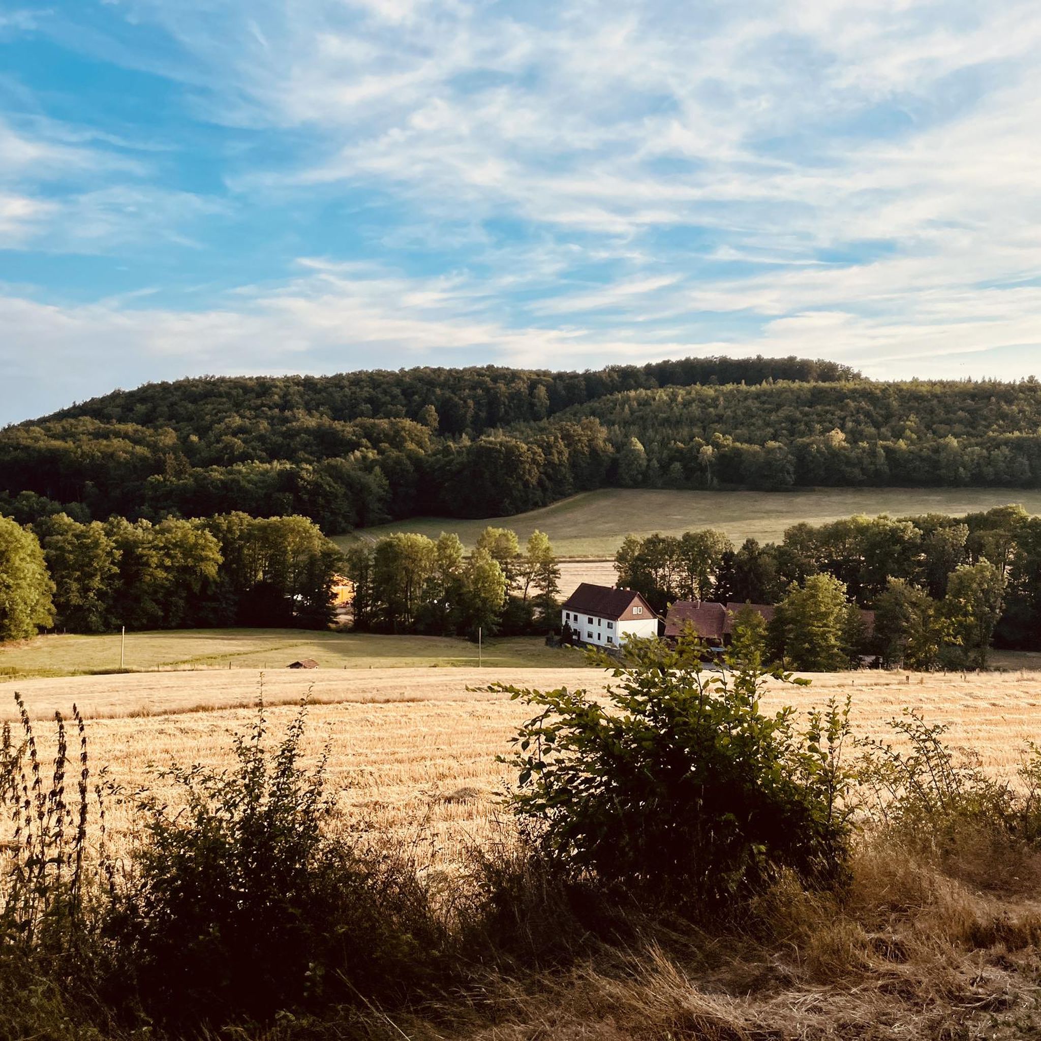
Gravel biking in Forst Aurora offers a diverse landscape for riders. The region features a mix of forested areas, open valleys, and routes along reservoirs and former railway paths. Terrain often includes hard-packed gravel, unpaved sections, and some challenging climbs, providing varied experiences. These routes traverse an ecological mosaic of woodland communities and offer views of local water bodies and surrounding hills.
Best gravel bike trails in Forst Aurora
- The most popular gravel bike trail is Old Basalt Loading Station…
Last updated: August 13, 2026
2
riders
Moderate gravel ride. Good fitness required. Mostly paved surfaces. Suitable for all skill levels.
12
riders
52.1km
03:23
890m
890m
Hard gravel ride. Very good fitness required. Mostly paved surfaces. Suitable for all skill levels.

Sign up for free
2
riders
Hard gravel ride. Very good fitness required. You may need to push your bike for some segments of this route.
4.0
(1)
8
riders
53.0km
03:07
680m
680m
Hard gravel ride. Very good fitness required. Mostly paved surfaces. Suitable for all skill levels.
3
riders
Hard gravel ride. Very good fitness required. You may need to push your bike for some segments of this route.
Get access to more routes and recommendations from other explorers.
Sign up for free
Already have an account?
Our route recommendations are based on thousands of hikes, rides, and runs completed by other people on komoot.
Start today with a free account
Your next adventure awaits.
Login or Signup
Tips from the Community

Go in and take a deep breath.
0
0
Bad Orb is indeed a chic little town.
0
0

The historic market square forms the vibrant heart of the old town of Bad Orb and is lined with magnificent half-timbered buildings such as the Salzgrafenhaus. In its center is the market fountain, which once played a central role in the water supply for the citizens as one of several public running fountains. Today, the fountain and the spacious square invite visitors to linger and serve as a backdrop for town festivals, markets, and events.
0
0

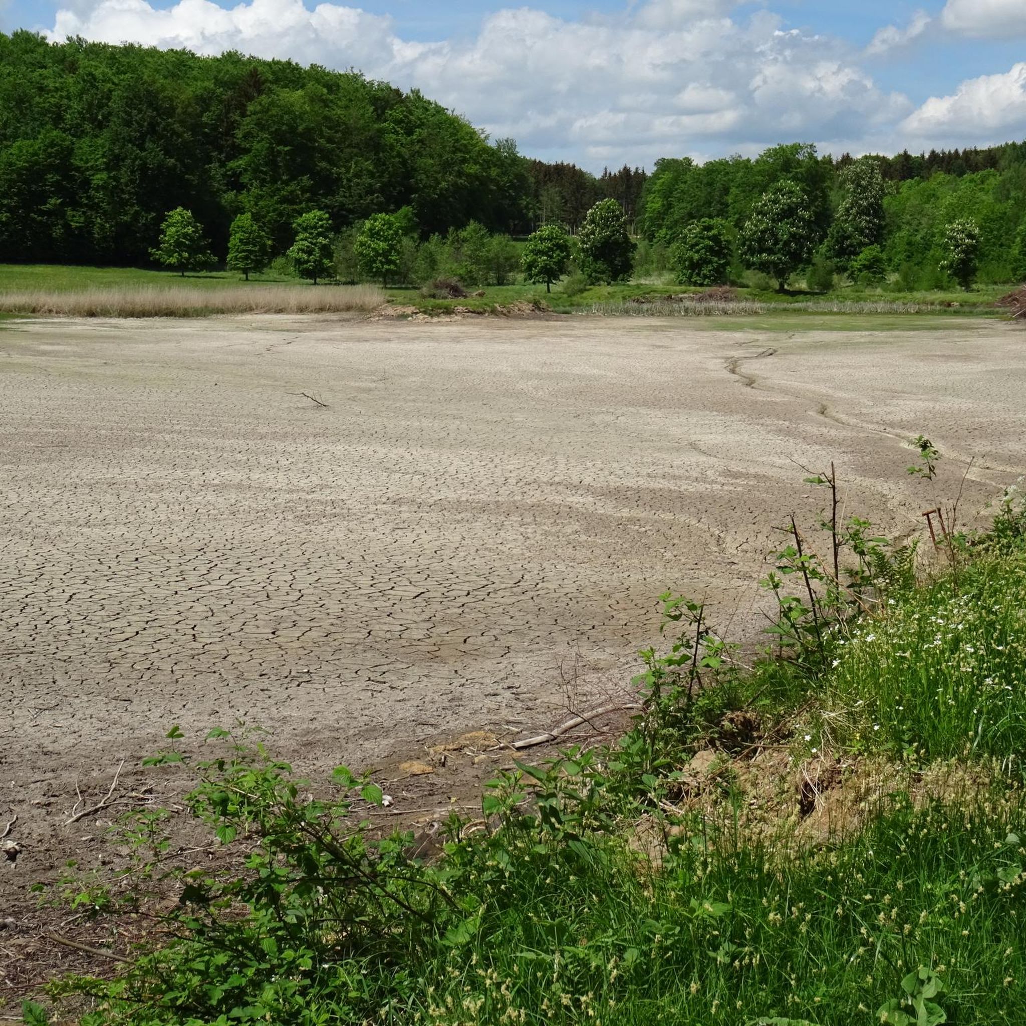
When it's dry, it's no problem to cycle the path.
1
0
There is a good cycle path here. I personally prefer the southern cycle path along the reservoir.
3
0

Beautiful both on foot and by mountain bike
0
0

The Kinzig is a river approximately 86 kilometers long. It rises in Sterbfritz, flows southwest through the Main-Kinzig district of Hesse, and flows into the Main from the right in Hanau. The Kinzig is a second-order river in low mountain ranges. It overcomes an elevation of 301 meters and has a bed gradient of 3.5 per thousand. The Kinzig's catchment area covers 1,058 square kilometers, and the calculated mean discharge (MQ) at the mouth of the Kinzig is 10.97 cubic meters per second. The Kinzig was first documented in 796 as "iuxta fluvium Kincihen." In 815, the name was written as "Chinzicha," around 900 as "Kincicha"/"Kinzicham," in 1364 as "Kinzige," in 1584 as "Kintzig," in 1607 as "Bintz," in 1681 as "Kintz," in 1716 as "Kins," in 1769 as "Kinzing," and in 1802 as "Kinzig." In the river's headwaters, there was the now-defunct village of Kinzig, mentioned in 815 as "Chirizichheimero." The village and river were often confused by monastery scribes at that time with "Chizzicha" (now Bad Kissingen), both of which were described as being located in the Saalegau. The name presumably derives from the ancient Celtic *ku̯anti̯o- meaning "flat hill, valley." The name was therefore derived from the mountainous region from which the Kinzig flows. Source: Wikipedia
2
0
Frequently Asked Questions
How many gravel bike trails are available in Forst Aurora?
Forst Aurora offers a wide selection of gravel biking routes, with over 30 trails available for exploration. These routes cater to various skill levels, ensuring there's something for everyone.
What kind of terrain can I expect on gravel bike trails in Forst Aurora?
The gravel bike trails in Forst Aurora feature a diverse landscape. You can expect a mix of forested areas, open valleys, and routes that follow reservoirs and former railway paths. The terrain often includes hard-packed gravel, unpaved sections, and some challenging climbs, providing varied experiences through an ecological mosaic of woodland communities.
Are there easy gravel bike trails suitable for beginners in Forst Aurora?
While many routes in Forst Aurora are moderate to difficult, there are options for those seeking a less strenuous ride. For instance, the View of the Kinzig Reservoir – Kinzigsee loop from Romsthal is a moderate 17-mile trail that offers beautiful views without excessive difficulty, making it a good starting point.
What attractions or points of interest can I see along the gravel bike trails?
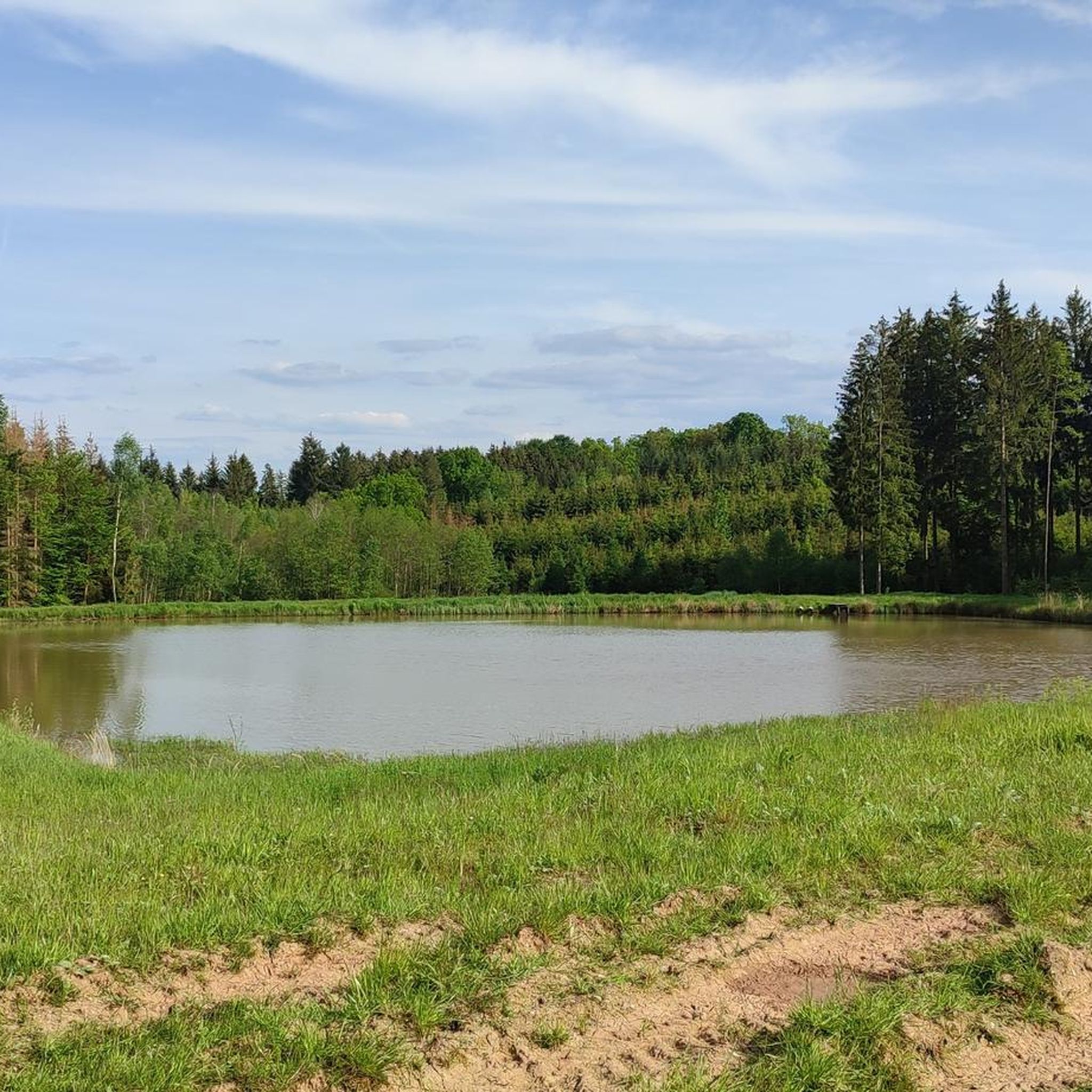
Along the gravel bike trails in Forst Aurora, you can discover several interesting points. Nature lovers might enjoy the serene Large Forest Pond or the tranquil Forest Ponds. For those interested in local history or unique structures, the Old Hunting Lodge, Jagdhaus Aurora, and the Hirschsprung Stone Marker offer glimpses into the region's past.
Are there any circular gravel bike routes in Forst Aurora?
Yes, many of the gravel biking routes in Forst Aurora are designed as loops, allowing you to start and end at the same point. A popular example is the Kinzig Reservoir at Ahl – Kinzig Reservoir loop from Brachttal, which offers a scenic ride around the reservoir.
What are the difficulty levels of gravel biking routes in Forst Aurora?
The routes in Forst Aurora range from moderate to difficult. There are 14 moderate trails and 20 difficult trails, providing options for riders looking for a relaxed tour or a more challenging adventure with significant elevation gain. Routes like the Auen Valley near Bad Orb – View of Wächtersbach loop from Udenhain are considered difficult due to their length and elevation.
What do other riders say about gravel biking in Forst Aurora?
The komoot community highly rates gravel biking in Forst Aurora, with an average score of 4.5 stars from over 9 reviews. Riders often praise the varied terrain, the beautiful views of local water bodies, and the well-maintained forested paths that make for an engaging experience.
Can families enjoy gravel biking in Forst Aurora?
Families can certainly enjoy gravel biking in Forst Aurora, especially on the less challenging routes. Look for trails with moderate difficulty and flatter sections, such as those along reservoirs or former railway paths, which provide a safer and more enjoyable experience for all ages. Always check the route details for elevation and surface type before heading out.
What kind of wildlife might I encounter on the trails?
Given the region's diverse landscapes, including forested areas and open valleys, you might encounter various wildlife. Keep an eye out for deer, foxes, and a variety of bird species. The presence of lakes and reservoirs also attracts waterfowl. Remember to ride quietly and respectfully to observe animals in their natural habitat.
Are there places to eat or drink near the gravel bike trails in Forst Aurora?
While specific cafes are not listed for every trail, many routes in Forst Aurora pass through or near small towns and villages. These often have local eateries or bakeries where you can refuel. It's always a good idea to check a map or local listings for amenities along your chosen route, especially for longer rides.
What is a good challenging gravel bike route in Forst Aurora?
For experienced gravel bikers seeking a challenge, the Old Basalt Loading Station – Mountain pond loop from Steinau (Straße) is an excellent choice. This 32.4-mile trail leads through varied and demanding terrain, often completed in about 3 hours 23 minutes, and features significant elevation changes.
Most popular routes in Forst Aurora
Most popular attractions in Forst Aurora

Get inspired with the komoot mobile app


Explore more
Browse the best Gravel rides in other regions.
