The best gravel rides in Frauenwald
4.5
(84)
570
riders
102
rides
Gravel biking in Frauenwald offers diverse terrain within the Thuringian Forest, characterized by a mix of high mountains and expansive valleys. The landscape transitions between dense mixed mountain and spruce forests and open stretches of land, providing varied scenic backdrops. The region's location on the historic Rennsteig ridge trail provides extensive opportunities for exploration, with routes featuring moderate gradients and inclines. Riders can expect trails suitable for both paved and unpaved surfaces, including forest paths and country roads.
Best gravel…
Last updated: July 3, 2026
4.7
(6)
37
riders
39.5km
03:13
920m
920m
Hard gravel ride. Very good fitness required. Mostly paved surfaces. Suitable for all skill levels.
4.6
(5)
20
riders
27.4km
02:19
850m
850m
Hard gravel ride. Very good fitness required. Mostly paved surfaces. Suitable for all skill levels.

Sign up for free
3.5
(2)
8
riders
12.8km
00:59
300m
300m
Moderate gravel ride. Good fitness required. Mostly paved surfaces. Suitable for all skill levels.
6
riders
20.6km
01:32
530m
530m
Hard gravel ride. Very good fitness required. Mostly paved surfaces. Suitable for all skill levels.
5.0
(1)
7
riders
20.4km
01:38
570m
570m
Hard gravel ride. Very good fitness required. Mostly paved surfaces. Suitable for all skill levels.
Get access to more routes and recommendations from other explorers.
Sign up for free
Already have an account?
Our route recommendations are based on thousands of hikes, rides, and runs completed by other people on komoot.
Start today with a free account
Your next adventure awaits.
Login or Signup

Tips from the Community

Is already worth a visit
0
0
Beautiful playground by the castle with a view
0
0

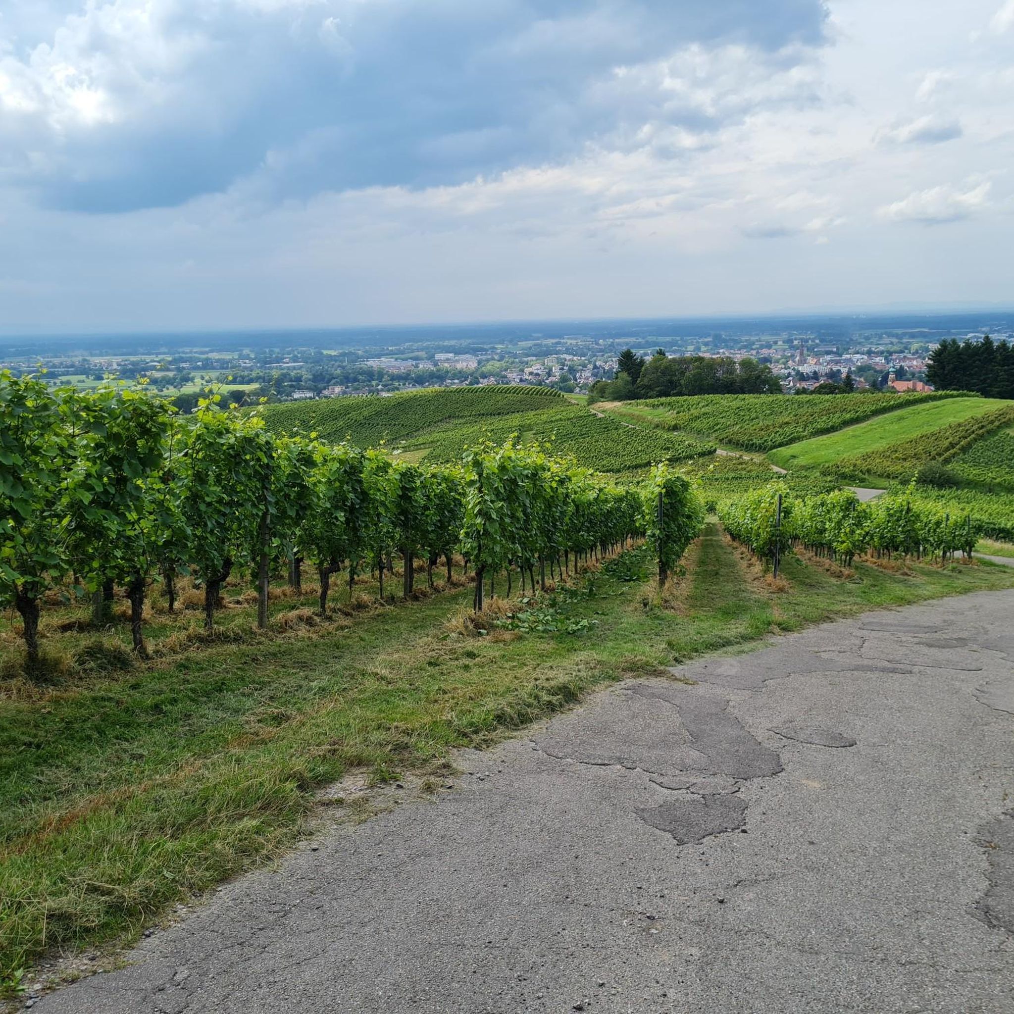
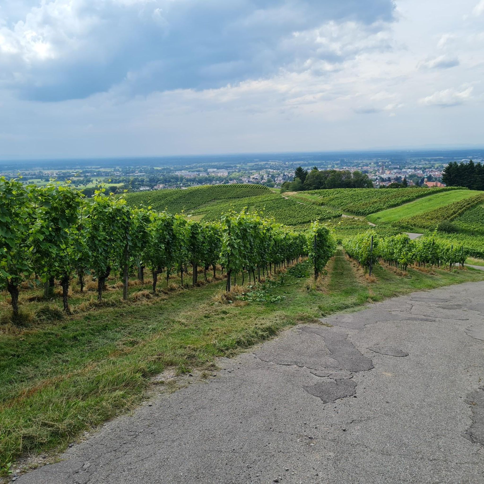
Beautiful viewpoint. Since you can also drive up by car, you are rarely alone at the pavilion. Especially popular in the evening hours.
0
0
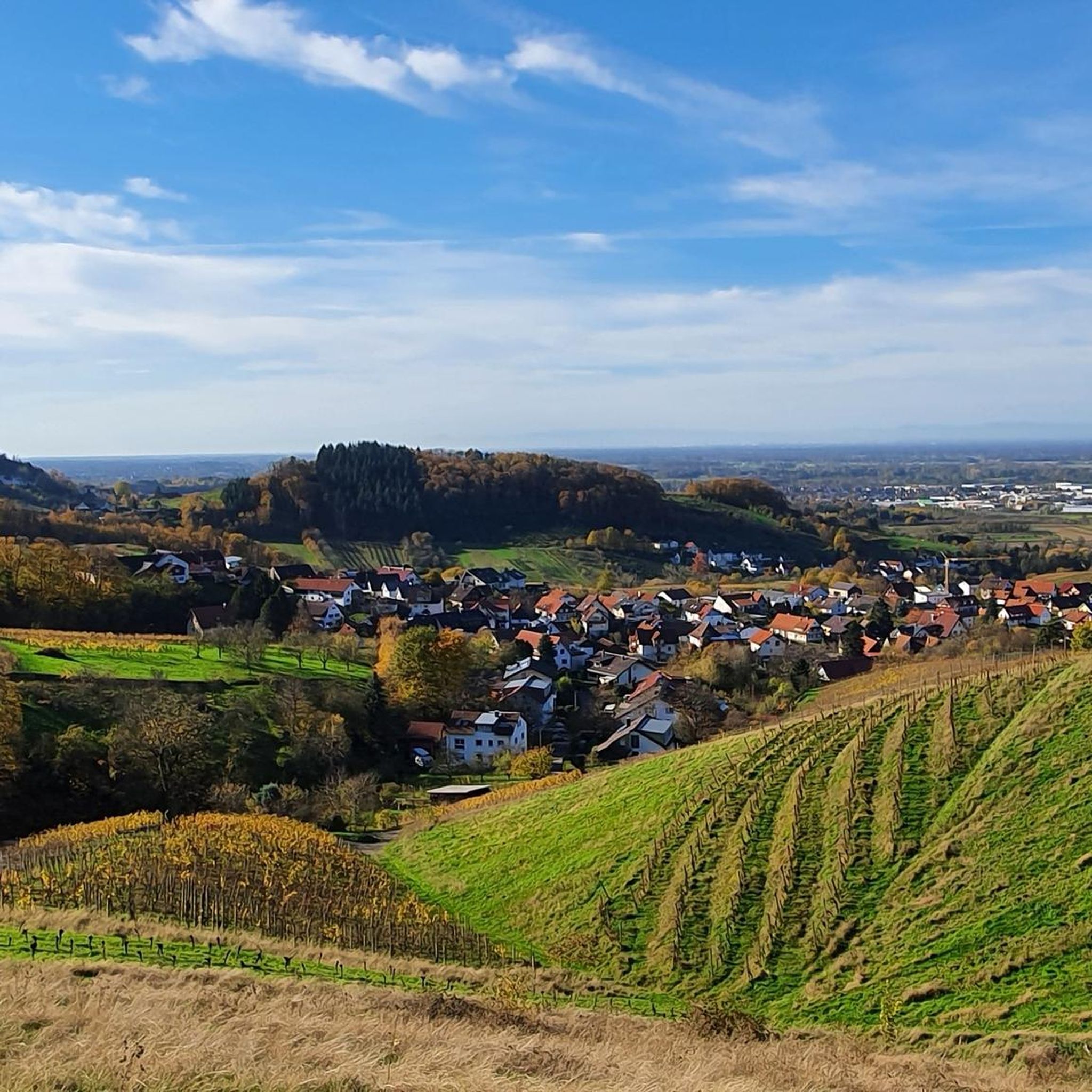
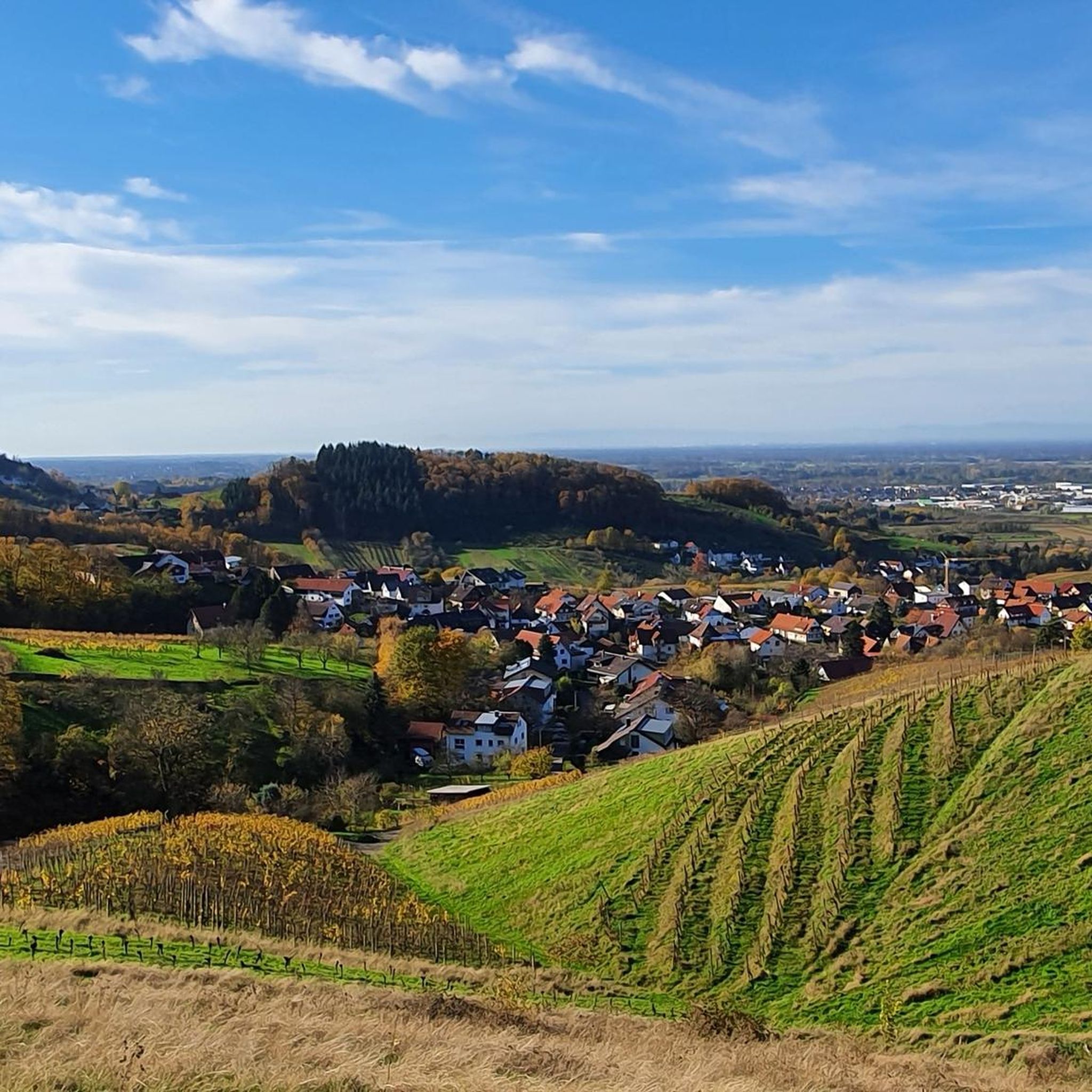
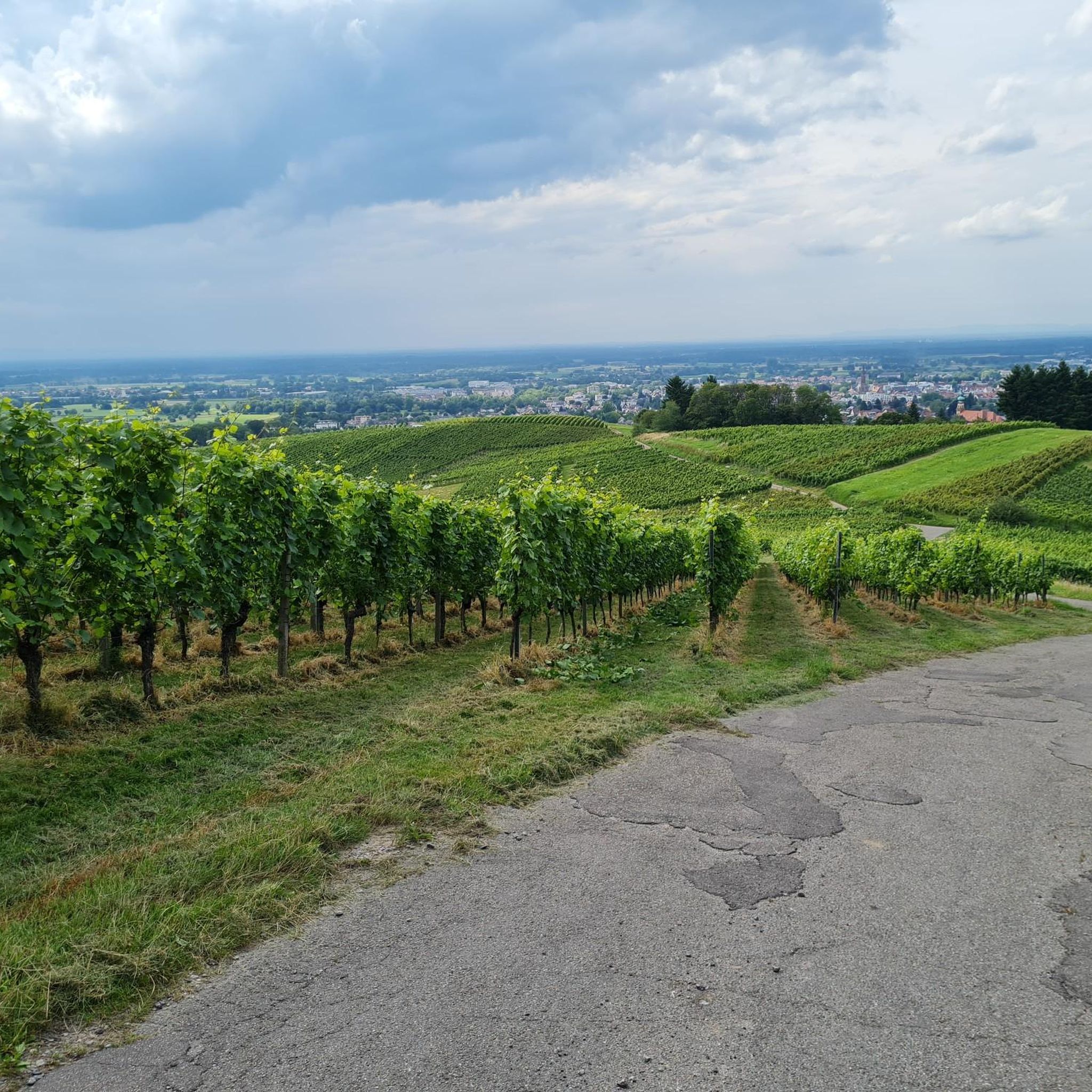
From here you have a great view over the vineyards down to Eisental and into the Rhine Valley. Because of this and the fact that you can drive directly up by car, you are often not alone in the pavilion.
0
0

Nice refreshment stop at the Unterstmatt junction. Amusingly decorated, definitely visit the toilet too!
0
0

I think that's at Untersmatt, the hub and central point for everything.
0
0
That's exactly what it looks like in winter: fog down below up to 800 meters, perfect weather up top 😁
0
0
Frequently Asked Questions
How many gravel bike routes are available in Frauenwald?
Frauenwald offers a wide selection of gravel biking opportunities, with over 130 routes available. These range from easier forest paths to more challenging climbs, catering to various skill levels.
What kind of terrain can I expect on gravel bike trails around Frauenwald?
The terrain around Frauenwald is diverse, featuring a mix of high mountains and expansive valleys within the Thuringian Forest. You'll encounter dense mixed mountain and spruce forests, as well as open stretches of land. Riders can expect moderate gradients and inclines, with trails suitable for both paved and unpaved surfaces, including forest paths and country roads.
Are there gravel bike routes suitable for beginners in Frauenwald?
Yes, Frauenwald offers several easier gravel bike routes. While many routes feature moderate climbs and descents, there are options designed for a more relaxed experience through forested areas. For example, the View of Kappelwindeck – Windeck Castle loop from Bühlertal is a moderate route that covers 12.7 km with manageable elevation.
What are the more challenging gravel biking options in Frauenwald?
For experienced gravel bikers seeking a challenge, Frauenwald has numerous difficult routes. These often involve significant elevation gains and longer distances. Consider routes like the Wine Pavilion Viewpoint – View of Geroldsau loop from Bühlertal, which covers nearly 40 km with over 900 meters of ascent, or the View of the Achertal Valley – Glashütte Reservoir loop from Burg Windeck, offering a similar distance and elevation profile.
Are there any circular gravel bike routes in Frauenwald?
Yes, many of the gravel bike routes in Frauenwald are designed as loops, allowing you to start and end at the same point. Examples include the Windeck Castle – View of Bühlertal loop from Bühl and the View of Bühlertal – View of the Rhine Plain loop from Bühlertal, both offering scenic circular tours.
What natural features and viewpoints can I see along the gravel bike trails in Frauenwald?
Frauenwald's gravel trails offer access to stunning natural features and panoramic viewpoints. You can explore the historic Rennsteig ridge trail, or seek out breathtaking vistas from locations like the Bühler Stein Viewpoint or the View of the Rhine Valley from Waldmatt. The region also features unique natural monuments such as the 200-Year-Old Silver Fir and the Friedenseiche (Peace Oak) near Windeck Castle.
Are there any historical landmarks or interesting places to visit near the gravel routes?
Absolutely. The Frauenwald area is rich in history and interesting sites. You can cycle past the impressive Windeck Castle, or discover the unique Klotzberg Fatima Shrine. The region also has charming spots like the Lookout Hut, perfect for a break.
What do other gravel bikers enjoy the most about gravel biking in Frauenwald?
The gravel biking experience in Frauenwald is highly rated by the komoot community, with an average score of 4.4 stars from over 100 reviews. Riders frequently praise the diverse landscapes, the mix of forest paths and country roads, and the engaging yet manageable gradients. The region's location on the historic Rennsteig and the scenic backdrops of the Thuringian Forest are also often highlighted as major draws.
Is Frauenwald suitable for family-friendly gravel biking?
Yes, Frauenwald offers options for family-friendly cycling. While specific routes are not designated as 'family-friendly' in the data, the presence of easier forest paths and moderate routes suggests that families can find suitable sections. Look for routes with lower difficulty grades and shorter distances, focusing on the less strenuous forest trails.
What is the best time of year for gravel biking in Frauenwald?
The Thuringian Forest, including Frauenwald, offers a natural, health-promoting climate that makes it appealing for outdoor activities year-round. Spring and autumn provide pleasant temperatures and beautiful scenery, while summer allows for longer days. Even in winter, the region can be explored, though conditions may require more robust equipment and caution due to snow or ice.
Are there places to stop for refreshments or cafes along the gravel routes?
While specific cafes directly on every route are not detailed, Frauenwald and its surrounding areas offer opportunities for refreshments. The region has various accommodations, pubs, and cafes. For instance, the Horse Stable is listed as a restaurant, which could be a good stop. Planning your route to pass through villages or towns will increase your chances of finding places to refuel.
What are the parking options for gravel bikers in Frauenwald?
Frauenwald is well-positioned for outdoor activities, and parking is generally available in and around the town, especially near trailheads or popular starting points for routes. While specific parking locations for each gravel route are not listed, you can typically find designated parking areas within the town or at key access points to the Thuringian Forest trails.
Can I reach Frauenwald and its gravel trails using public transport?
Frauenwald is part of the Thuringian Forest region, which has public transport connections. While specific details on bike transport on public transport would need to be checked with local operators, it's generally possible to reach the area by bus or train to nearby larger towns, and then cycle or take a local connection to Frauenwald. This allows for car-free access to the trails.
Most popular routes in Frauenwald
Most popular attractions in Frauenwald

Get inspired with the komoot mobile app


Explore more
Browse the best Gravel rides in other regions.
