The best gravel rides in Staatsforst Völklingen
4.4
(171)
901
riders
88
rides
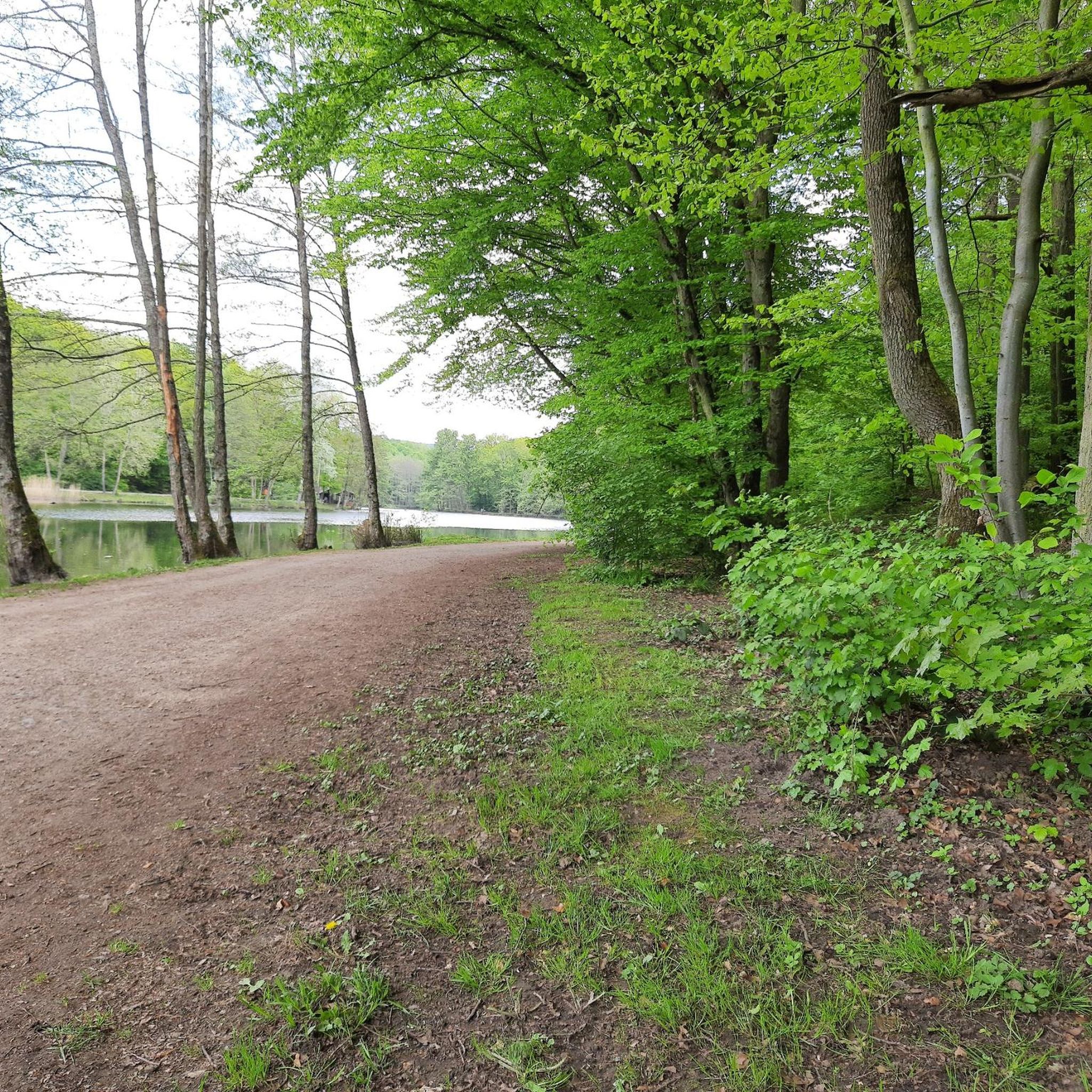
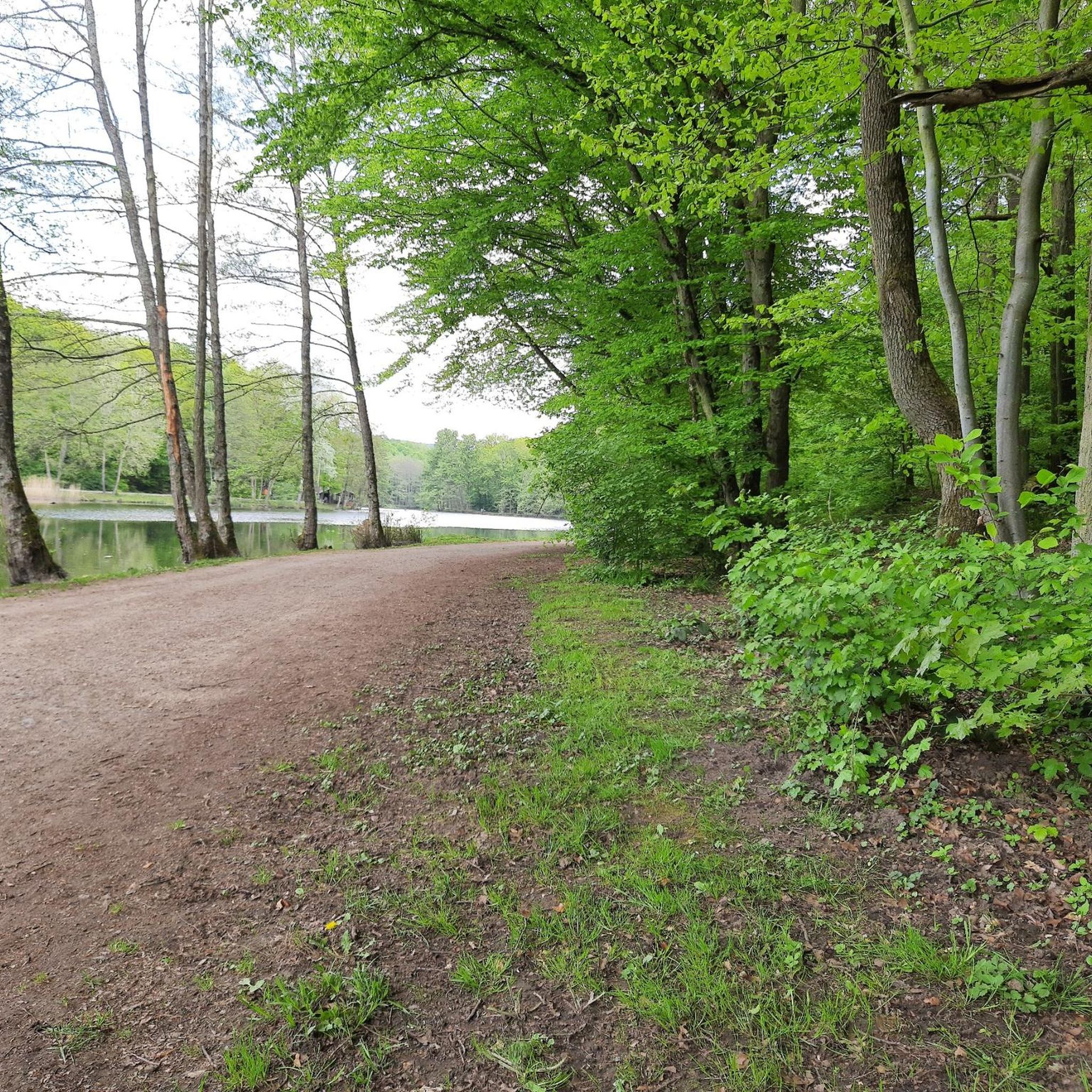
Gravel biking in Staatsforst Völklingen offers routes through dense woodlands and varied terrain. The region is characterized by its extensive forest areas, providing a network of paths suitable for gravel bikes. Riders can expect a mix of forest trails, some with moderate elevation changes, and views of local ponds and the Saar River. This landscape provides a consistent environment for off-road cycling.
Best gravel bike trails in Staatsforst Völklingen
- The most popular gravel bike trail is Burbach Forest Pond – Burbach Pond loop from Buchschachen, an 18.6 miles (29.9 km) trail that takes 2 hours 14 minutes to complete. This moderate route explores forest paths around local ponds.
- Another top favourite among local gravel bikers is Forest Trail in Saarland – View of Schlammweiher loop from Altenkessel, a moderate 8.7 miles (14.1 km) path. This route features forest trails and offers views of a pond.
- Local gravel bikers also love the Heidenkopf Observation Tower – Heidenkopf Observation Tower loop from Südbahnhof, a 34.6 miles (55.6 km) trail leading through varied forest terrain, often completed in about 3 hours 19 minutes.
- Gravel biking in Staatsforst Völklingen is defined by dense woodlands, forest trails, and views of local water features. The network offers options for easy, moderate, and difficult ability levels.
- The routes in Staatsforst Völklingen are highly rated by the komoot community with an average score of 4.3 stars from over 200 reviews. More than 1,000 gravel bikers have used komoot to explore Staatsforst Völklingen's varied terrain.
Last updated: July 3, 2026
3
riders
14.1km
00:56
180m
180m
Moderate gravel ride. Good fitness required. Mostly paved surfaces. Suitable for all skill levels.
5.0
(1)
11
riders
29.9km
01:42
220m
220m
Moderate gravel ride. Good fitness required. Mostly paved surfaces. Suitable for all skill levels.

Sign up for free
4.8
(18)
92
riders
55.5km
03:17
620m
620m
Hard gravel ride. Very good fitness required. Mostly paved surfaces. Suitable for all skill levels.
4.3
(3)
23
riders
47.8km
03:07
640m
640m
Hard gravel ride. Very good fitness required. You may need to push your bike for some segments of this route.
4.8
(17)
92
riders
64.1km
03:39
580m
580m
Hard gravel ride. Very good fitness required. Mostly paved surfaces. Suitable for all skill levels.
Get access to more routes and recommendations from other explorers.
Sign up for free
Already have an account?
Our route recommendations are based on thousands of hikes, rides, and runs completed by other people on komoot.
Start today with a free account
Your next adventure awaits.
Login or Signup
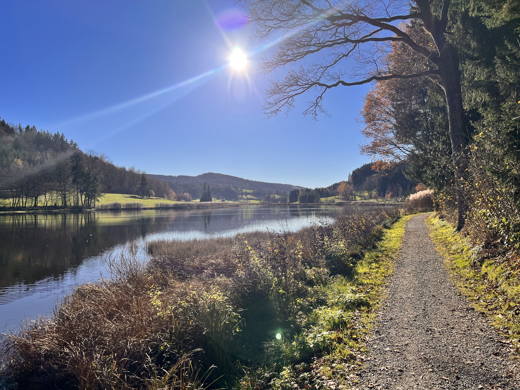
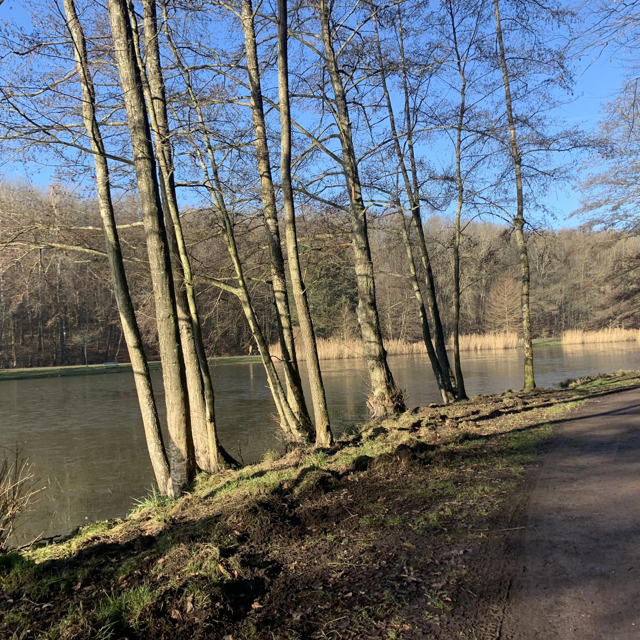
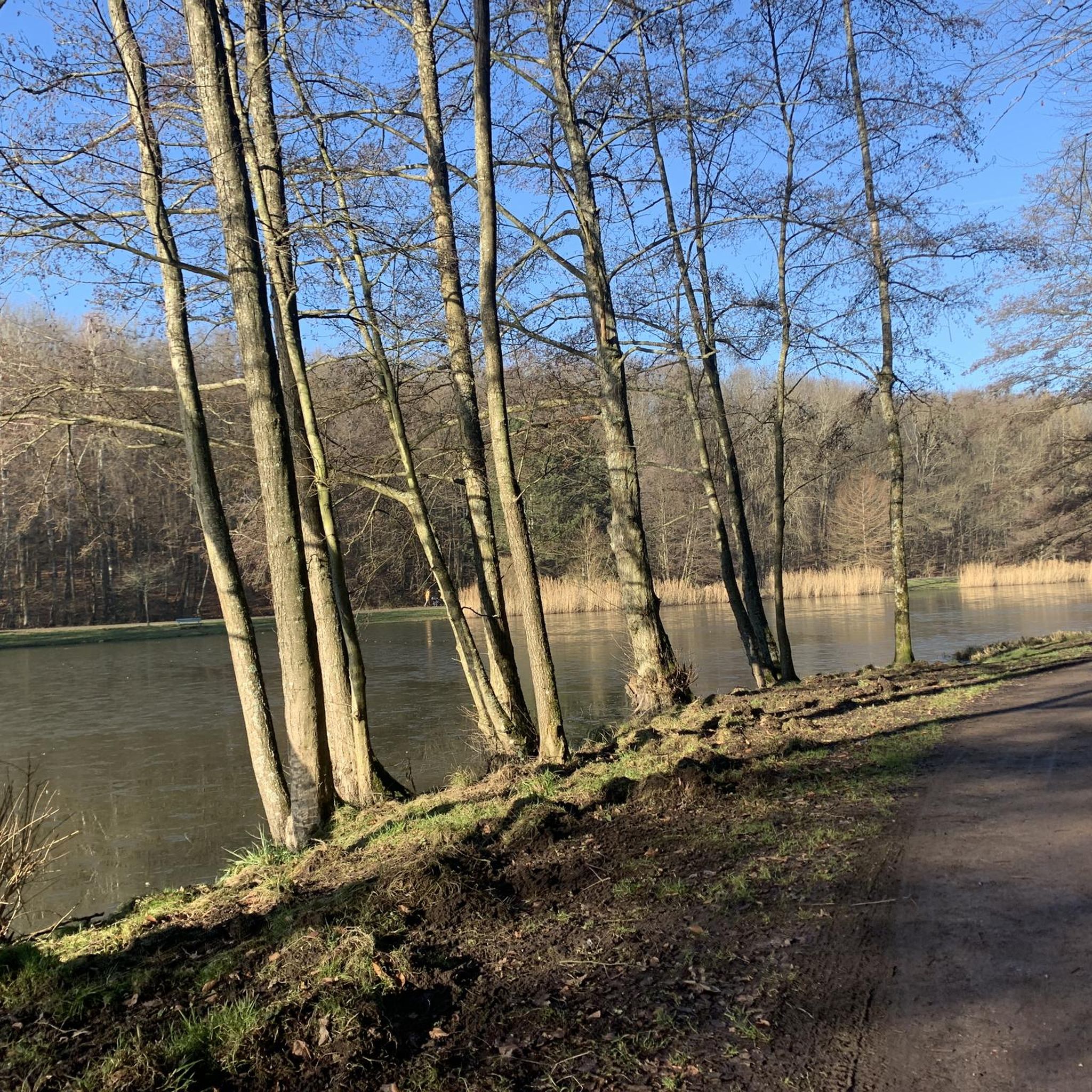
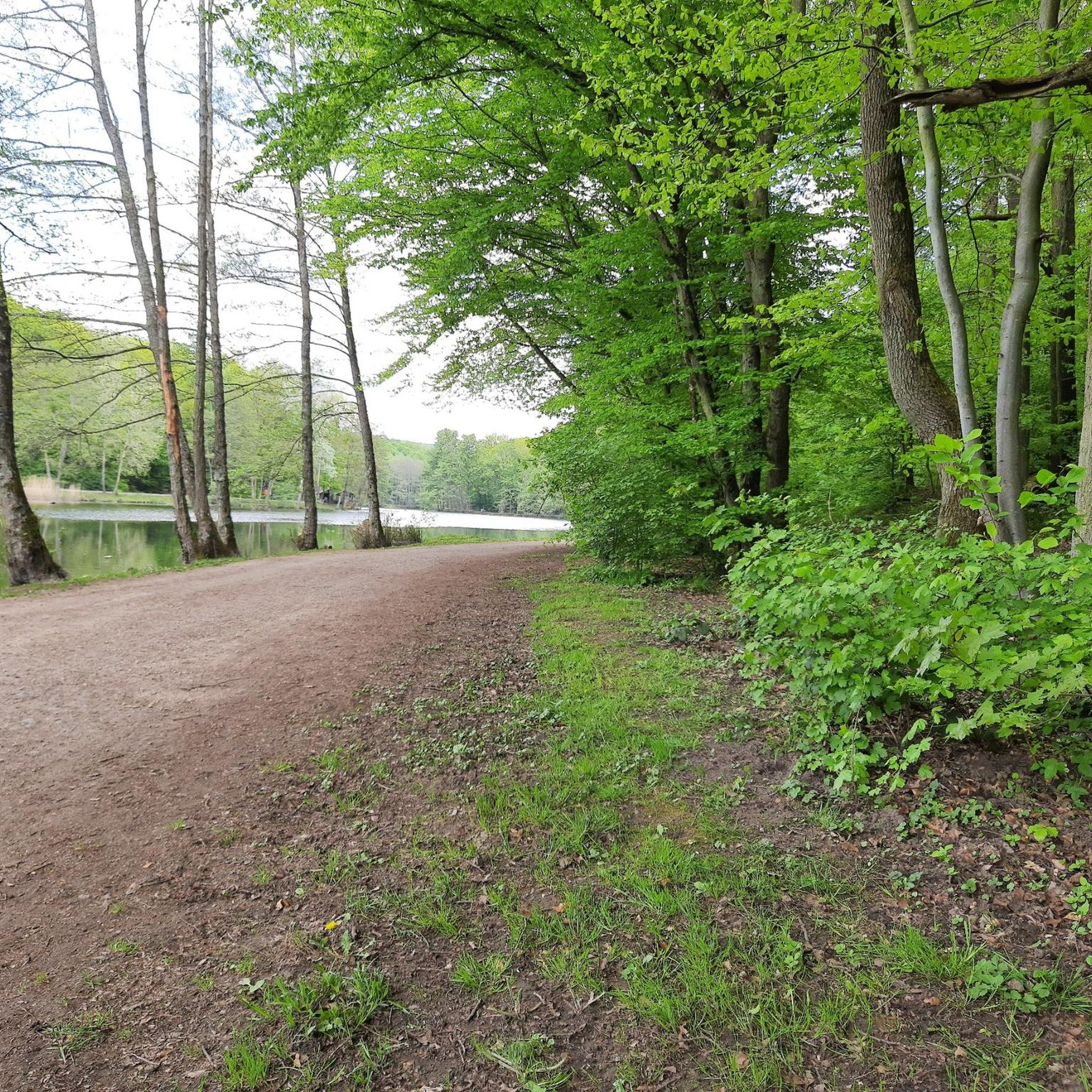
Other adventures in Staatsforst Völklingen

Tips from the Community


The Saar (French Sarre, Latin Saravus, Luxembourgish Saar) is a river flowing approximately northward in Alsace and Lorraine, as well as in the German states of Saarland and Rhineland-Palatinate. With a flow distance of 235 kilometers, it is the longest tributary of the Moselle; its catchment area covers 7431 square kilometers, which is about three times the area of Saarland (2569.69 km²). See: https://de.wikipedia.org/wiki/Saar
1
0

Beautiful quiet hiking trail, very well signposted
1
0

"You must go under this bridge"
0
0

Gut Hartungshof near Bliesransbach is located approximately 12 km from Saarbrücken and is part of the UNESCO-recognized Bliesgau Biosphere Reserve. It is known for the production and sale of beef. The history of the Hartungshof farm dates back to the 19th century. The estate includes the following areas: An agricultural operation, forestry, energy management in the field of renewable energies, an herb garden, and a farm shop. A visit to explore the estate, shop for local produce, and enjoy a panoramic view of the Bliesgau lowlands is definitely worthwhile.
2
0


The former Püttlingen train station building was classified as a historic transport monument by the state curator in 1989, following the cessation of rail service on the Köllertal line in 1985. The "Kulturforum Köllertal e.V." association acquired the building from the state, and after renovation and restoration work, it has been used exclusively for cultural purposes since 1993. The building now houses the "Bistro-Cafe im Bahnhof" in the area of the former signal box and waiting room, and training and exhibition rooms are located on the upper floor. The station's former general cargo hall has also been restored and is now available for cultural events.
0
0

Frequently Asked Questions
What kind of terrain can I expect on gravel bike trails in Staatsforst Völklingen?
Staatsforst Völklingen is characterized by extensive forest areas, offering a network of paths suitable for gravel bikes. You'll encounter a mix of forest trails, some with moderate elevation changes, and views of local ponds and the Saar River. The landscape provides a consistent environment for off-road cycling.
Are there gravel bike routes suitable for beginners in Staatsforst Völklingen?
Yes, Staatsforst Völklingen offers routes for various skill levels. While most routes are moderate or difficult, there are a few easier options available. For a moderate introduction, consider the Forest Trail in Saarland – View of Schlammweiher loop from Altenkessel, which is 8.7 miles (14.1 km) long and features forest trails with pond views.
What are the options for more advanced gravel bikers?
For experienced gravel bikers seeking a challenge, Staatsforst Völklingen has numerous difficult routes. A demanding option is the Heidenkopf Observation Tower – Heidenkopf Observation Tower loop from Südbahnhof, spanning 34.6 miles (55.6 km) through varied forest terrain with significant elevation changes. Another challenging ride is the View of the Saar River – Karl-May-Weg Trail loop from Luisenthal (Saar), which covers 47.4 km with over 600 meters of elevation gain.
Are there any circular gravel bike routes in the area?
Yes, many of the gravel bike trails in Staatsforst Völklingen are designed as loops. For example, the popular Burbach Forest Pond – Burbach Pond loop from Buchschachen is an 18.6-mile (29.9 km) circular route exploring forest paths around local ponds. Another longer loop is the Glashütter Pond – Würzbacher Pond loop from Südbahnhof, which is 63.9 km long.
What can I see along the gravel bike trails in Staatsforst Völklingen?
The trails often lead past natural and historical points of interest. You can explore areas like the Burbach Forest Pond, or discover historical sites such as the Former Beer Cellar at Grube Von der Heydt and the Von der Heydt Miners' Settlement. The Forsthaus Pfaffenkopf is another notable landmark.
What is the best season for gravel biking in Staatsforst Völklingen?
The region is generally enjoyable for gravel biking from spring through autumn, when the forest trails are dry and the weather is mild. While winter riding is possible, be prepared for potentially muddy or icy conditions, especially on shaded forest paths.
Are there any viewpoints or scenic spots along the routes?
Many routes offer scenic views, particularly of local ponds and the Saar River. Trails like the Forest Trail in Saarland – View of Schlammweiher loop from Altenkessel provide views of the Schlammweiher pond. The region's dense woodlands themselves offer a consistent natural backdrop for your ride.
What do other gravel bikers say about Staatsforst Völklingen?
The gravel biking routes in Staatsforst Völklingen are highly rated by the komoot community, with an average score of 4.3 stars from over 200 reviews. Riders often praise the quiet woodlands, varied terrain, and the well-maintained forest paths that make for an enjoyable off-road cycling experience.
How many gravel bike trails are available in Staatsforst Völklingen?
There are over 130 gravel bike routes documented in Staatsforst Völklingen on komoot, offering a wide range of options for different skill levels and preferences.
Is public transport available to access the gravel bike trails?
While specific public transport connections directly to trailheads can vary, Völklingen and surrounding towns are generally accessible by regional train and bus services. It's advisable to check local transport schedules for the most convenient access points to the forest.
What should I bring for a gravel bike ride in Staatsforst Völklingen?
Given the forest environment and varied terrain, it's recommended to bring appropriate gear. This includes a well-maintained gravel bike, a helmet, sufficient water and snacks, a repair kit, and navigation tools. Depending on the season, layers of clothing and rain gear might also be beneficial.
Most popular routes in Staatsforst Völklingen
Most popular attractions in Staatsforst Völklingen

Get inspired with the komoot mobile app


Explore more
Browse the best Gravel rides in other regions.
