The best gravel rides in Flamersheimer Wald
4.8
(18)
186
riders
56
rides
Gravel biking in Flamersheimer Wald offers a network of trails through varied forest landscapes and rolling terrain. The region is characterized by dense woodlands, river valleys, and a mix of unpaved forest roads and gravel paths. Elevations range from gentle slopes to more challenging climbs, providing diverse conditions for gravel cyclists. These Flamersheimer Wald natural features cycling routes often connect natural areas with historic sites and small towns.
Best gravel bike trails in Flamersheimer Wald
- The most popular gravel bike…
Last updated: July 3, 2026
8
riders
Hard gravel ride. Very good fitness required. Mostly paved surfaces. Suitable for all skill levels.
3.5
(2)
5
riders
64.7km
04:27
870m
870m
Hard gravel ride. Very good fitness required. You may need to push your bike for some segments of this route.

Sign up for free
6
riders
Moderate gravel ride. Good fitness required. Mostly paved surfaces. Suitable for all skill levels.
2
riders
28.7km
01:56
400m
400m
Moderate gravel ride. Good fitness required. Mostly paved surfaces. Suitable for all skill levels.
8
riders
Hard gravel ride. Very good fitness required. Mostly paved surfaces. Suitable for all skill levels.
Get access to more routes and recommendations from other explorers.
Sign up for free
Already have an account?
Our route recommendations are based on thousands of hikes, rides, and runs completed by other people on komoot.
Start today with a free account
Your next adventure awaits.
Login or Signup
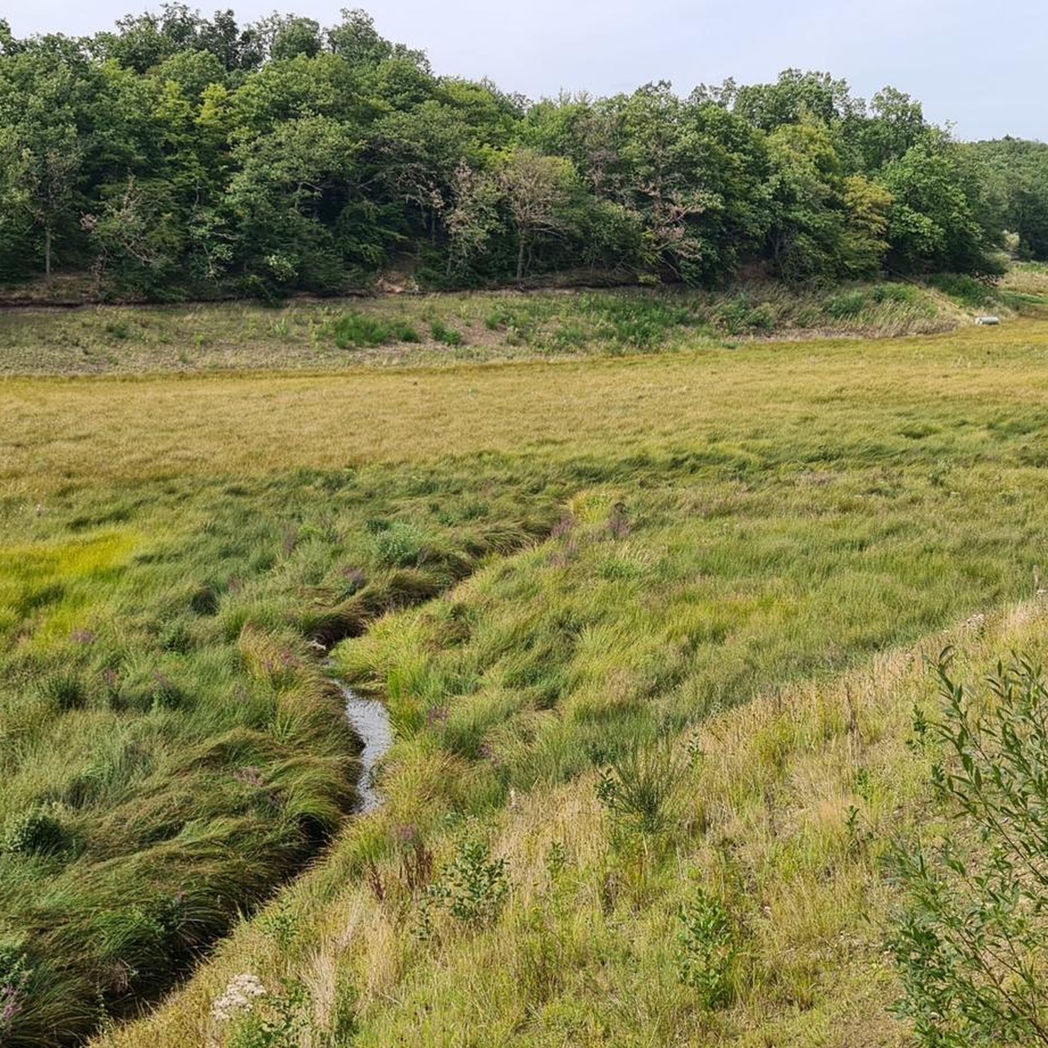
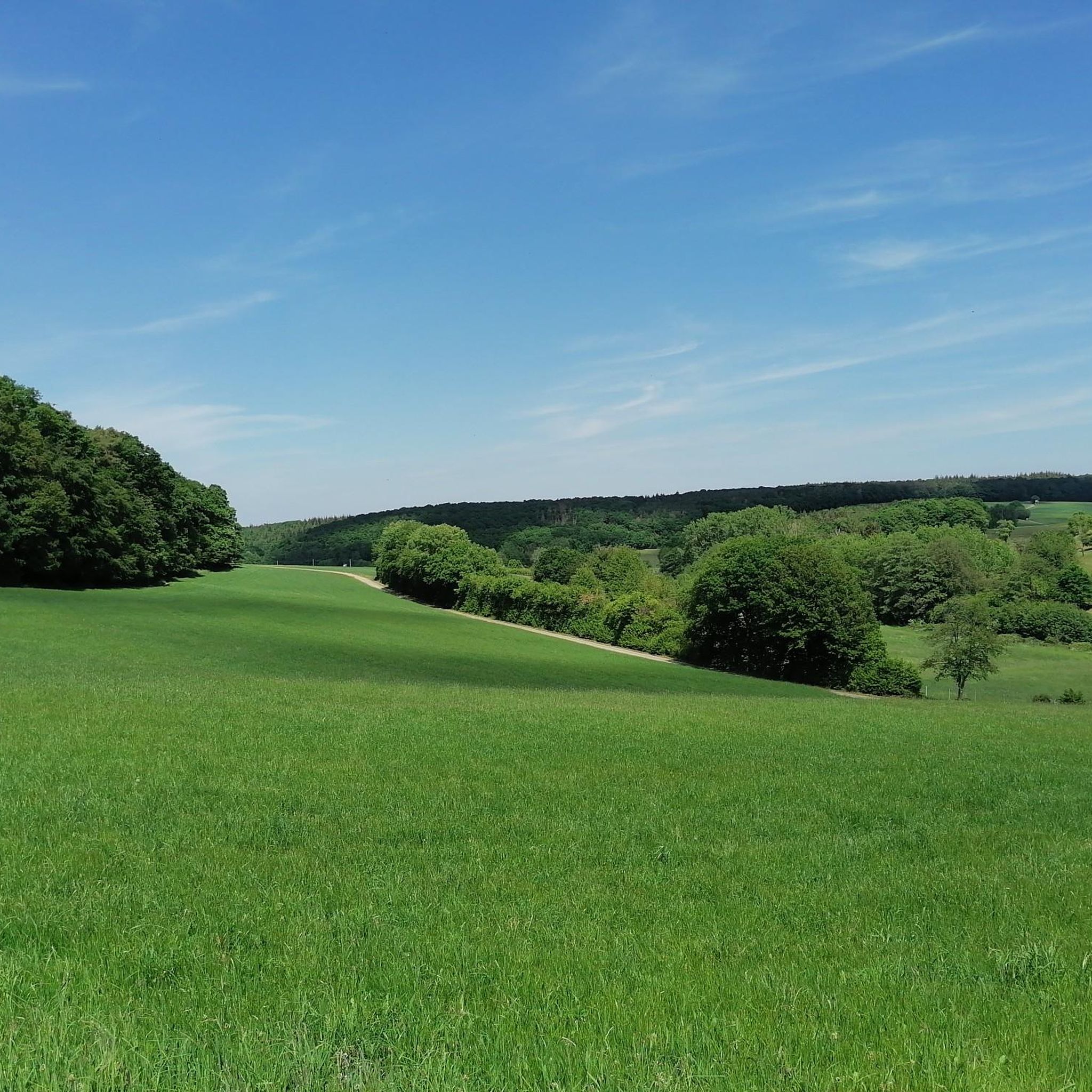
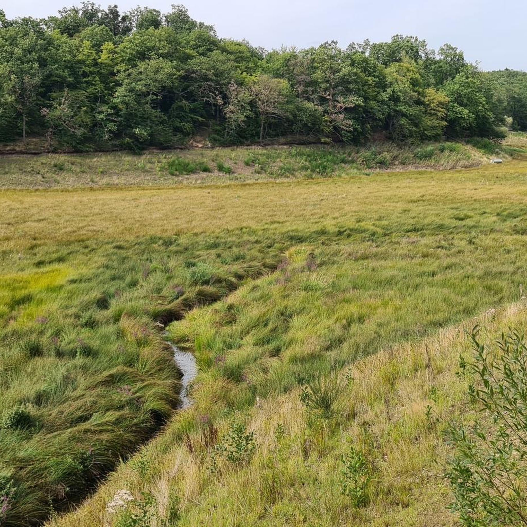
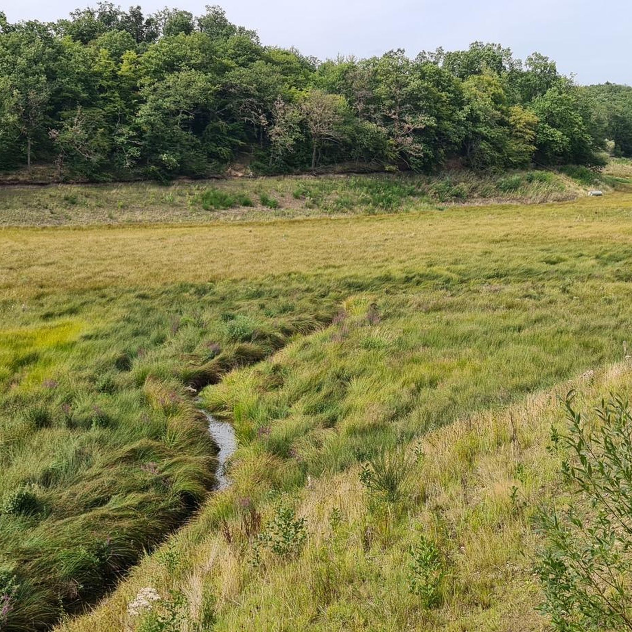
Tips from the Community

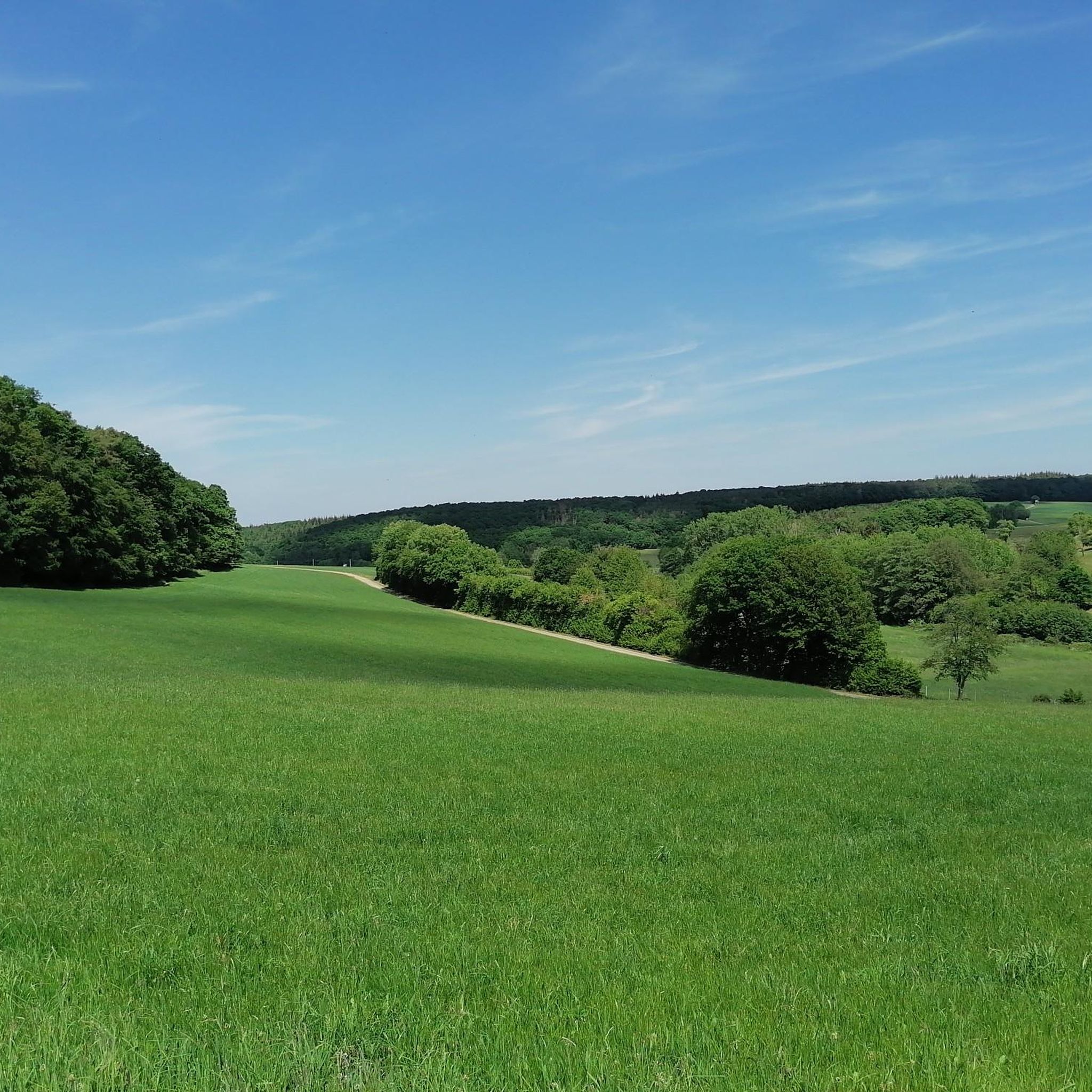
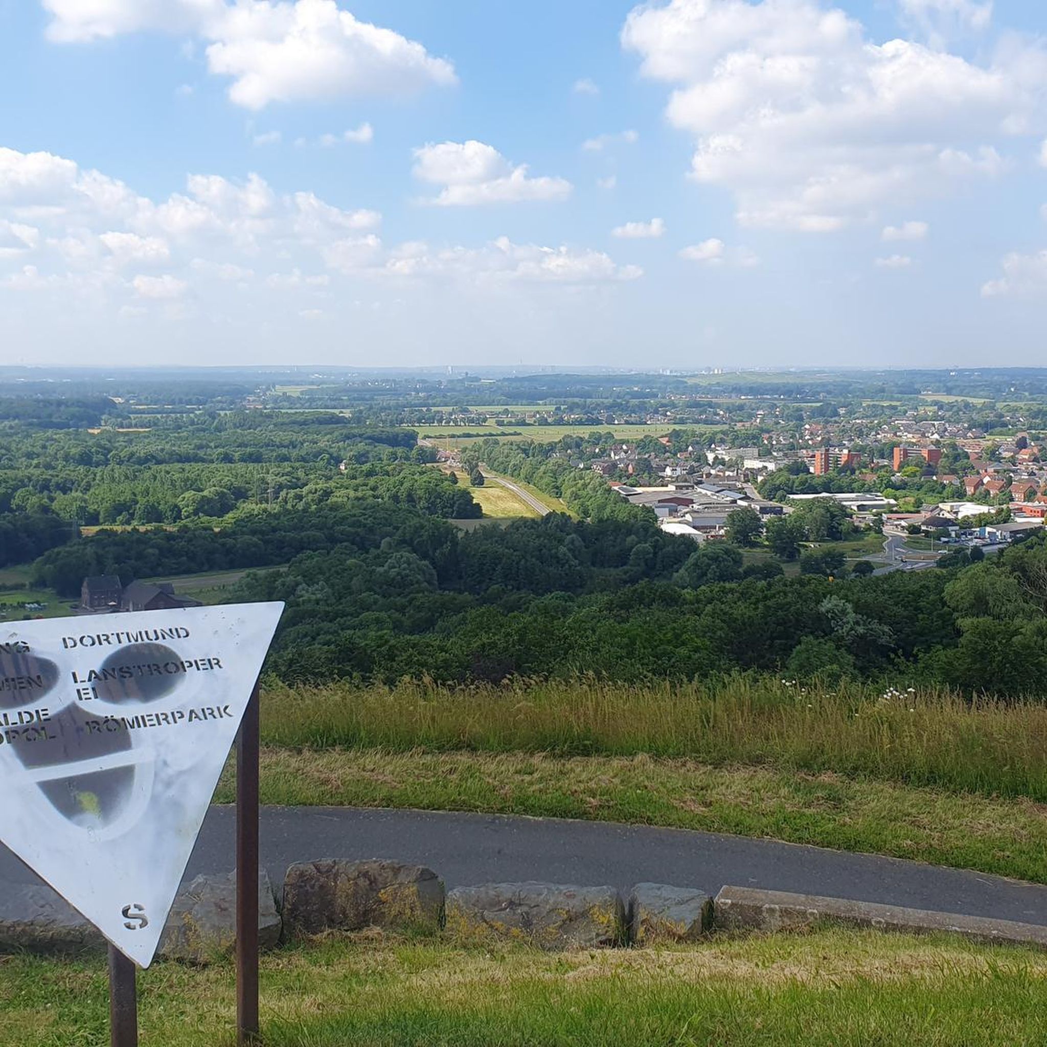
Beautiful view
0
0

Well located hiking car park in front of the pretty village of Hilberath
0
0

Also suitable for sledding in winter.
0
0

Avoid the Erft Cycle Path in the Erftstadt area. A catastrophic condition.
1
0

It's really beautiful
0
0

Barn cafe in Hilberat, large selection of cakes.
0
0
Frequently Asked Questions
What are the general difficulty levels for gravel biking in Flamersheimer Wald?
Flamersheimer Wald offers a diverse range of gravel bike trails. You'll find options from moderate to difficult, with 40 moderate and 45 difficult routes. There is also one easy route available for those looking for a gentler ride.
Are there any beginner-friendly gravel bike trails in Flamersheimer Wald?
While many routes are moderate to difficult, there is at least one easy gravel bike trail available in Flamersheimer Wald. These routes typically feature less elevation gain and smoother surfaces, making them suitable for beginners or those seeking a relaxed ride.
What kind of terrain can I expect on gravel bike trails in Flamersheimer Wald?
The region is characterized by dense woodlands, scenic river valleys, and a mix of unpaved forest roads and gravel paths. You'll encounter varied landscapes, from gentle slopes to more challenging climbs, often connecting natural areas with historic sites and small towns.
Are there any long-distance gravel bike routes in Flamersheimer Wald?
Yes, Flamersheimer Wald features several longer routes. For example, the Hardtburg Castle – View of the Voreifel Landscape loop from Euskirchen-Kreuzweingarten covers approximately 50.4 km, offering an extensive ride through the Voreifel landscape.
What do other gravel bikers enjoy most about the trails in Flamersheimer Wald?
The gravel bike trails in Flamersheimer Wald are highly rated by the komoot community, with an average score of 4.8 stars from over 40 reviews. Reviewers often praise the extensive forest paths, scenic river valleys, and the variety of routes connecting to historic castles.
Are there any circular gravel bike routes in the Flamersheimer Wald area?
Yes, many of the gravel bike routes in Flamersheimer Wald are designed as loops. A popular option is the Sahrbach Valley Scenic Road – View of Burg Kreuzberg loop from Kirchsahr, which takes you through the picturesque Sahrbach Valley.
What are some scenic viewpoints or attractions along the gravel bike trails?
Many trails offer scenic views and pass by interesting attractions. You might encounter beautiful lakes like Madbachtalsperre or the Hunnensiefen Fish Ponds. Some routes also feature forest trails like the Steinbachtalsperre Forest Trail, providing natural beauty and points of interest.
Are there any advanced or challenging gravel bike routes for experienced riders?
Absolutely. Flamersheimer Wald has 45 difficult routes for experienced gravel bikers. An example is the Market Square, Bad Münstereifel – Werther Gate, Bad Münstereifel loop from Wald, which is a challenging 28.6 km path exploring the forest around Bad Münstereifel.
What is the best season for gravel biking in Flamersheimer Wald?
The varied terrain of Flamersheimer Wald makes it enjoyable throughout much of the year. Spring and autumn offer pleasant temperatures and vibrant scenery. Summer is also great, especially for shaded forest paths. Winter conditions can vary, so checking local weather and trail reports is advisable for colder months.
Are there any lesser-known or 'hidden gem' gravel trails in the area?
While specific 'hidden gems' are often discovered by local exploration, routes like the Werther Gate, Bad Münstereifel – Heisterbacher Tor loop from LOFAR offer a less frequented perspective of the region, connecting historical gates with natural sections away from the most popular spots.
How many gravel bike trails are available in Flamersheimer Wald?
There are over 80 gravel bike trails available in Flamersheimer Wald, offering a wide selection for different preferences and skill levels.
Can I find routes that combine historical sites with natural landscapes?
Yes, many routes in Flamersheimer Wald are designed to connect natural areas with historic sites. For instance, the Satzvey Castle – Through the Eschweiler Valley loop from Unteres Steinbachtal features significant elevation gain and passes by historic landmarks, offering a blend of nature and history.
Most popular routes in Flamersheimer Wald
Most popular attractions in Flamersheimer Wald

Get inspired with the komoot mobile app


Explore more
Browse the best Gravel rides in other regions.
