The best gravel rides around Wisła
4.4
(59)
611
riders
15
rides
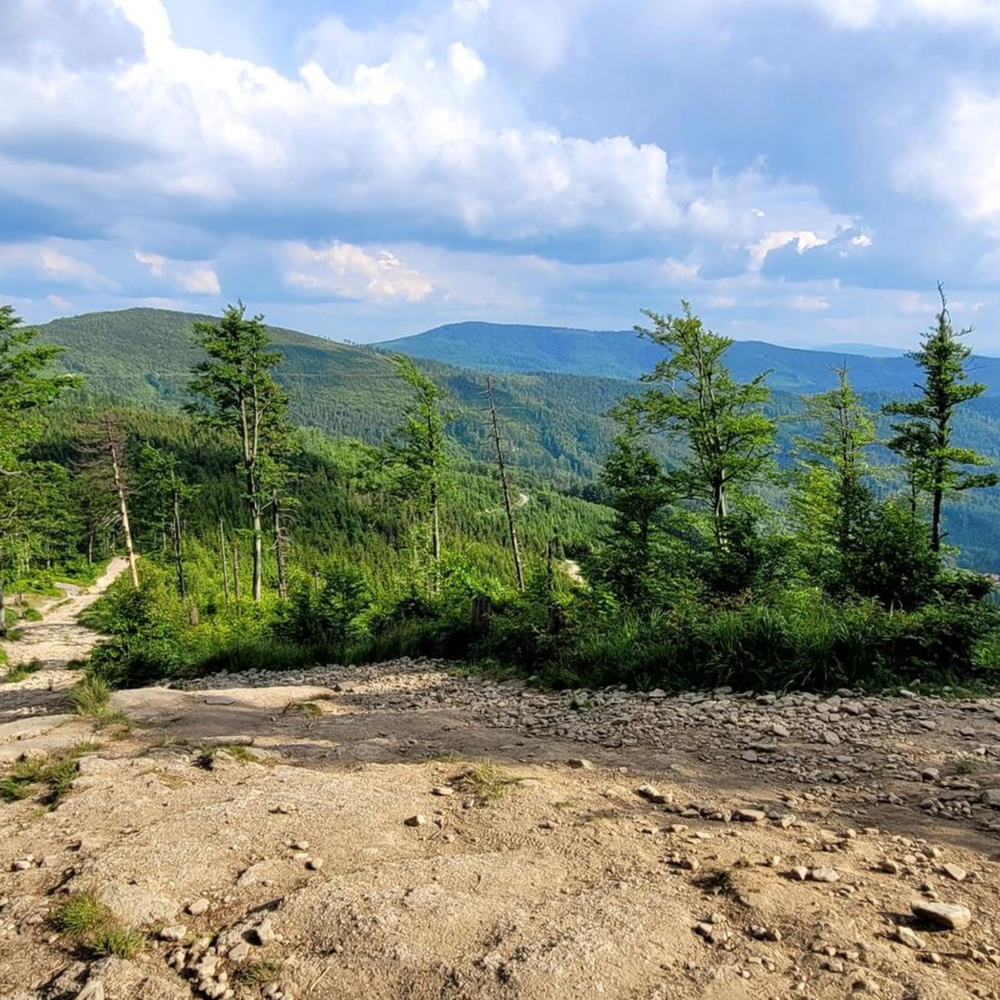
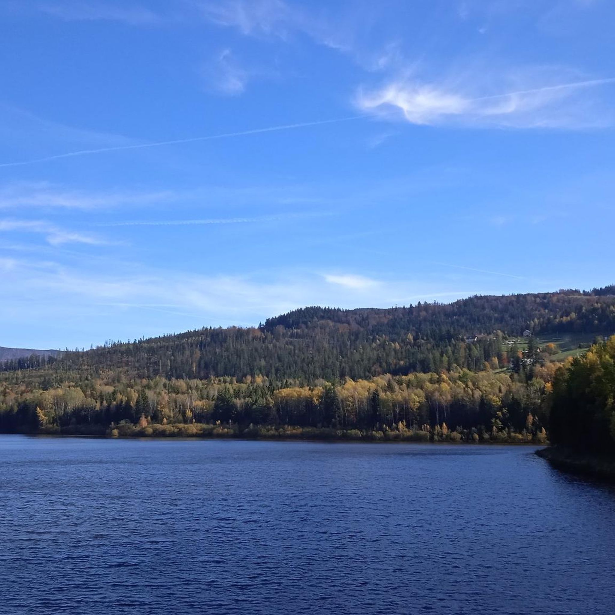
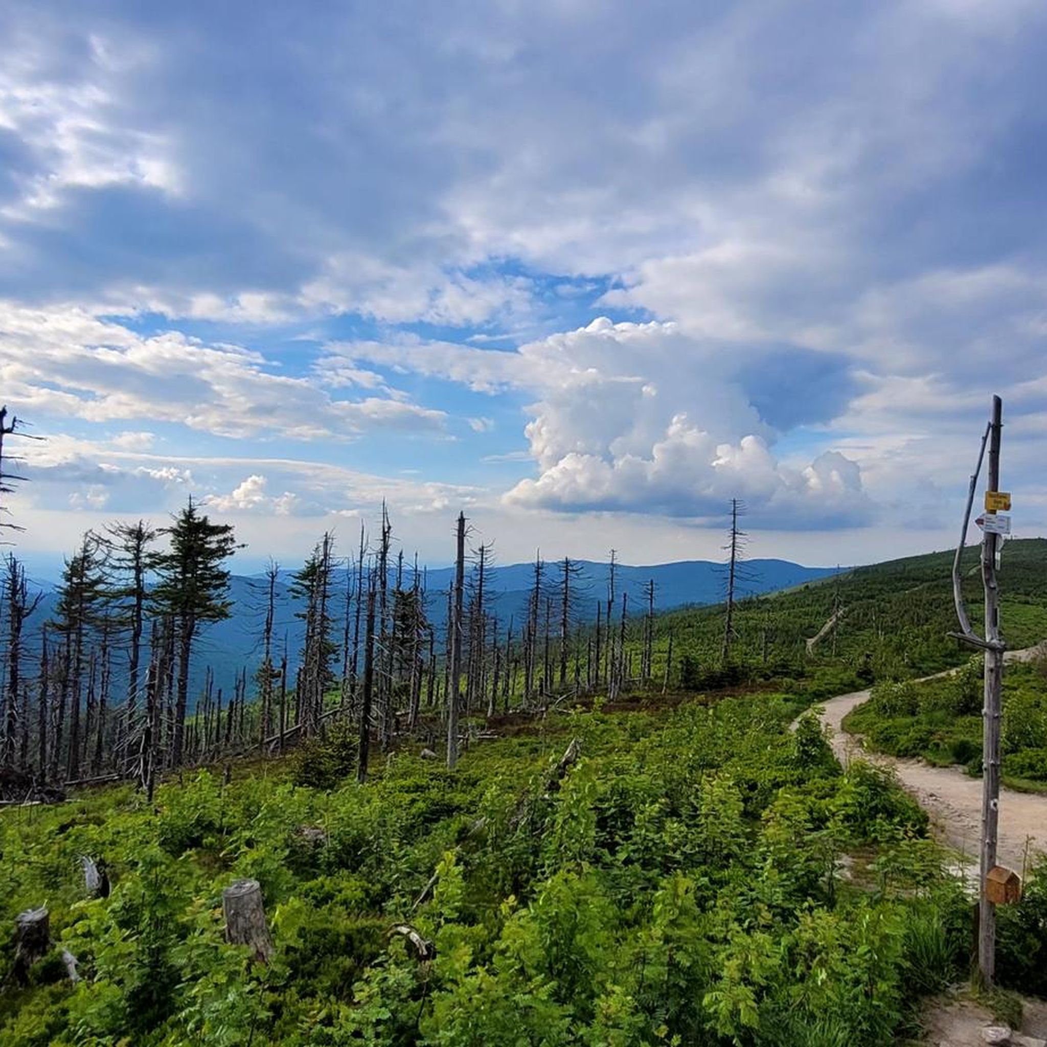
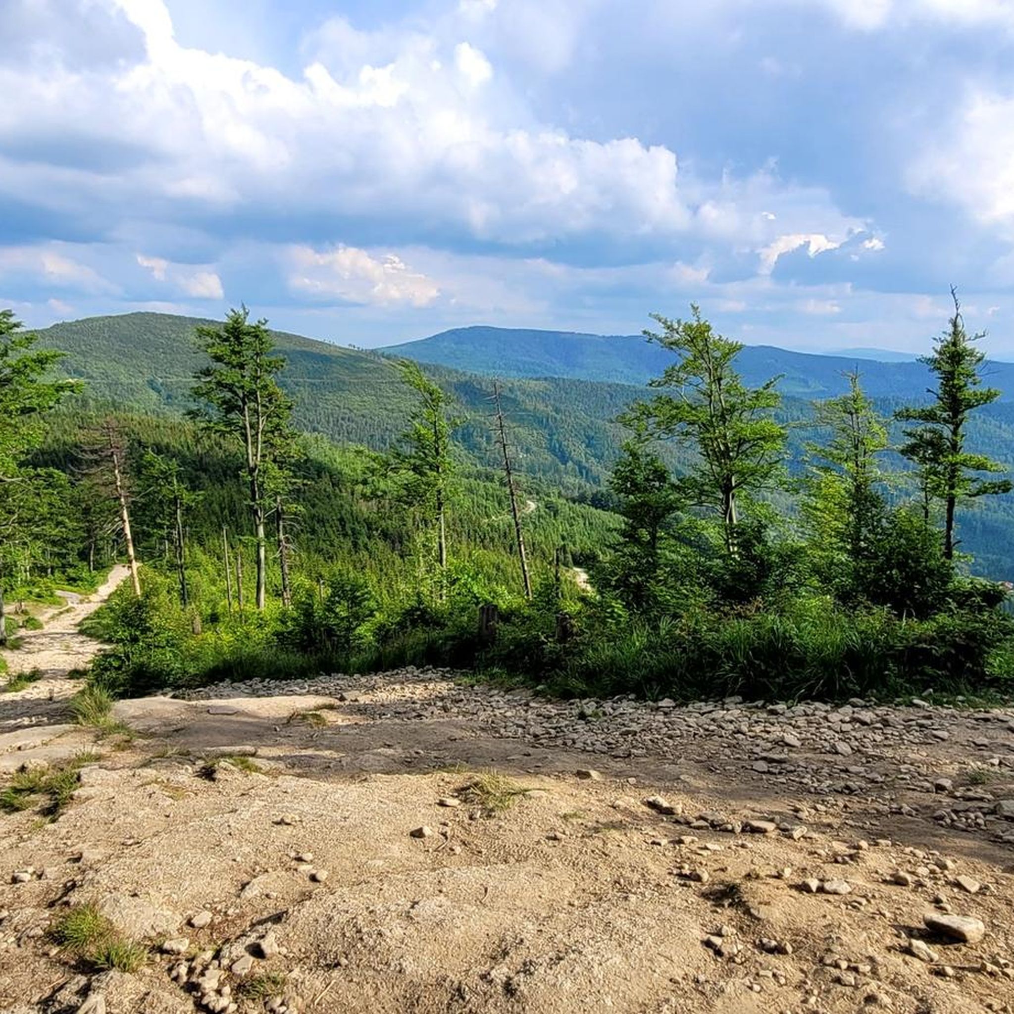
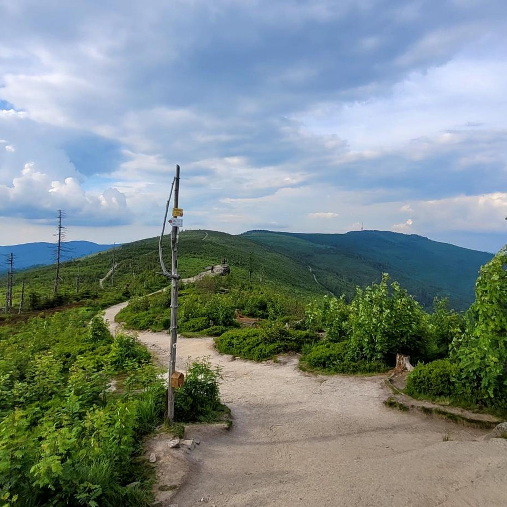
Gravel biking around Wisła offers diverse terrain within the Silesian Beskids mountain range, characterized by river valleys, dense forests, and significant elevation changes. The region features a mix of paved and unpaved surfaces, providing varied challenges for gravel cyclists. Routes often follow the Vistula River and ascend towards mountain huts and viewpoints, incorporating sections around reservoirs. The landscape includes numerous peaks and varied topography, ideal for gravel biking.
Best gravel bike trails around Wisła
- The most popular gravel bike trail…
Last updated: August 27, 2026
4.8
(11)
78
riders
46.4km
03:20
1,050m
1,050m
Hard gravel ride. Very good fitness required. Mostly paved surfaces. Suitable for all skill levels.
4.7
(9)
38
riders
35.1km
02:22
730m
730m
Hard gravel ride. Very good fitness required. Mostly paved surfaces. Suitable for all skill levels.

Sign up for free
5.0
(3)
22
riders
25.3km
02:03
750m
750m
Hard gravel ride. Very good fitness required. Mostly paved surfaces. Suitable for all skill levels.
4.0
(1)
32
riders
73.8km
05:08
1,520m
1,520m
Hard gravel ride. Very good fitness required. Mostly paved surfaces. Suitable for all skill levels.
4.7
(3)
34
riders
Hard gravel ride. Very good fitness required. You may need to push your bike for some segments of this route.
Get access to more routes and recommendations from other explorers.
Sign up for free
Already have an account?
Our route recommendations are based on thousands of hikes, rides, and runs completed by other people on komoot.
Start today with a free account
Your next adventure awaits.
Login or Signup

Other adventures around Wisła

Tips from the Community

Small Dam in Wisła Nowa Osada For clarity – this place is located about 4.5 kilometers downstream from the large earthen dam forming the Czerniańskie Lake. Waterfall: It is an artificial weir 8 meters high, built on the Wisełka stream in the 1950s. Fish passages: Characteristic concrete steps and walkways visible just below the main cascade. They allow fish (mainly trout) to migrate upstream. Building on the left: This is a historic wooden-and-brick inn "Drewutnia" (originally from 1833), where tourists can eat traditional Beskid dishes.
0
0

An 8m high artificial waterfall built in the 1950s on the Vistula River
0
0


Polana Budzin (596 m above sea level) is a picturesque clearing located in the Silesian Beskids, near Czantoria. It is a great resting point on running and trekking routes, offering beautiful views of the nearby peaks and valleys. Thanks to its location, it is a good place to relax before continuing your climb to Wielka Czantoria. The trails leading through the clearing are steep in places and can be muddy after rain, so it is worth having good trail shoes.
0
0

Delicious food, accommodation conditions are closer to a hotel than a hostel, I recommend.
0
0

a nice, scenic place, and there are few people there
0
0
Frequently Asked Questions
What types of gravel bike trails can I expect in Wisła?
Wisła's gravel biking scene is characterized by diverse terrain within the Beskid Śląski mountain range. You'll find trails following the Vistula River, ascending through dense forests towards mountain huts and viewpoints, and often incorporating sections around reservoirs. The landscape offers a mix of paved and unpaved surfaces, catering to various preferences.
Are there any easy or beginner-friendly gravel bike routes in Wisła?
While many routes in Wisła feature significant elevation changes, there are options suitable for beginners. For instance, the guide lists 2 easy and 10 moderate routes. A good moderate option that follows river valleys and passes waterfalls is the Ustroń Waterfalls – Bicycle Path Along the Vistula loop from Wisła Dziechcinka, which is 22.9 miles (36.9 km) long.
What are some challenging gravel bike routes for experienced riders in Wisła?
For advanced gravel bikers, Wisła offers 42 difficult routes with substantial climbs. A particularly challenging option is the Czerniańskie Reservoir Dam – Waterfall at the Dam in Wisła loop from Wisła Kopydło. This route spans 73.7 miles (118.6 km) and involves over 1500 meters of elevation gain, offering a demanding ride through varied terrain.
Are there any long-distance gravel routes around Wisła?
Yes, Wisła features several longer gravel routes. One of the most extensive is the View of the Vistula River – Czerniańskie Reservoir Dam loop from Ustroń Brzegi, which covers approximately 84.5 miles (136 km) and includes nearly 1900 meters of elevation gain, making it a significant undertaking for a full day's ride.
Can I find circular gravel bike routes in Wisła?
Many of the gravel bike trails in Wisła are designed as loops, allowing you to start and finish at the same point. Examples include the popular Czerniańskie Reservoir Dam – Cieńków Skilift Viewpoint loop from Wisła Głębce and the challenging Przysłop Mountain Hut loop from Wisła Malinka Rastoki.
What kind of views or natural attractions can I expect along the gravel trails?
The trails often lead to stunning viewpoints and natural attractions. You can expect scenic views over the Czerniańskie Reservoir, the Vistula River, and the surrounding Beskid Śląski mountains. Notable highlights include the Czerniańskie Lake, the Waterfall at the Dam in Wisła, and various mountain peaks like Skrzyczne Peak and Malinowska Rock.
Are there any mountain huts or places to rest along the routes?
Yes, some routes, like the Przysłop Mountain Hut loop from Wisła Malinka Rastoki, lead directly to prominent mountain huts. These huts often provide opportunities for rest, refreshments, and shelter, making them excellent mid-ride destinations.
What do other gravel bikers say about the trails in Wisła?
The gravel biking routes in Wisła are highly regarded by the komoot community, holding an average rating of 4.7 stars from over 40 reviews. Riders frequently praise the diverse terrain, the scenic views over reservoirs and mountains, and the challenging climbs that make for rewarding experiences.
How much elevation gain should I expect on gravel rides in Wisła?
Wisła's location in the Beskid Śląski mountains means significant elevation changes are common. Even moderate routes can involve several hundred meters of climbing, while difficult trails often feature over 1000 meters of ascent. For example, the Czerniańskie Reservoir Dam – Cieńków Skilift Viewpoint loop has over 1250 meters of elevation gain.
Are there specific trailheads or starting points for gravel biking in Wisła?
Routes often start from various points within Wisła and its surrounding areas, such as Wisła Głębce, Wisła Malinka Rastoki, Wisła Dziechcinka, Wisła Kopydło, or Ustroń Brzegi. These locations typically offer convenient access to the trail network and are good starting points for loop routes.
Most popular routes around Wisła
Most popular attractions around Wisła

Get inspired with the komoot mobile app


Explore more
Browse the best Gravel rides in other regions.
