The best gravel rides around East Montpelier
5.0
(2)
59
riders
9
rides
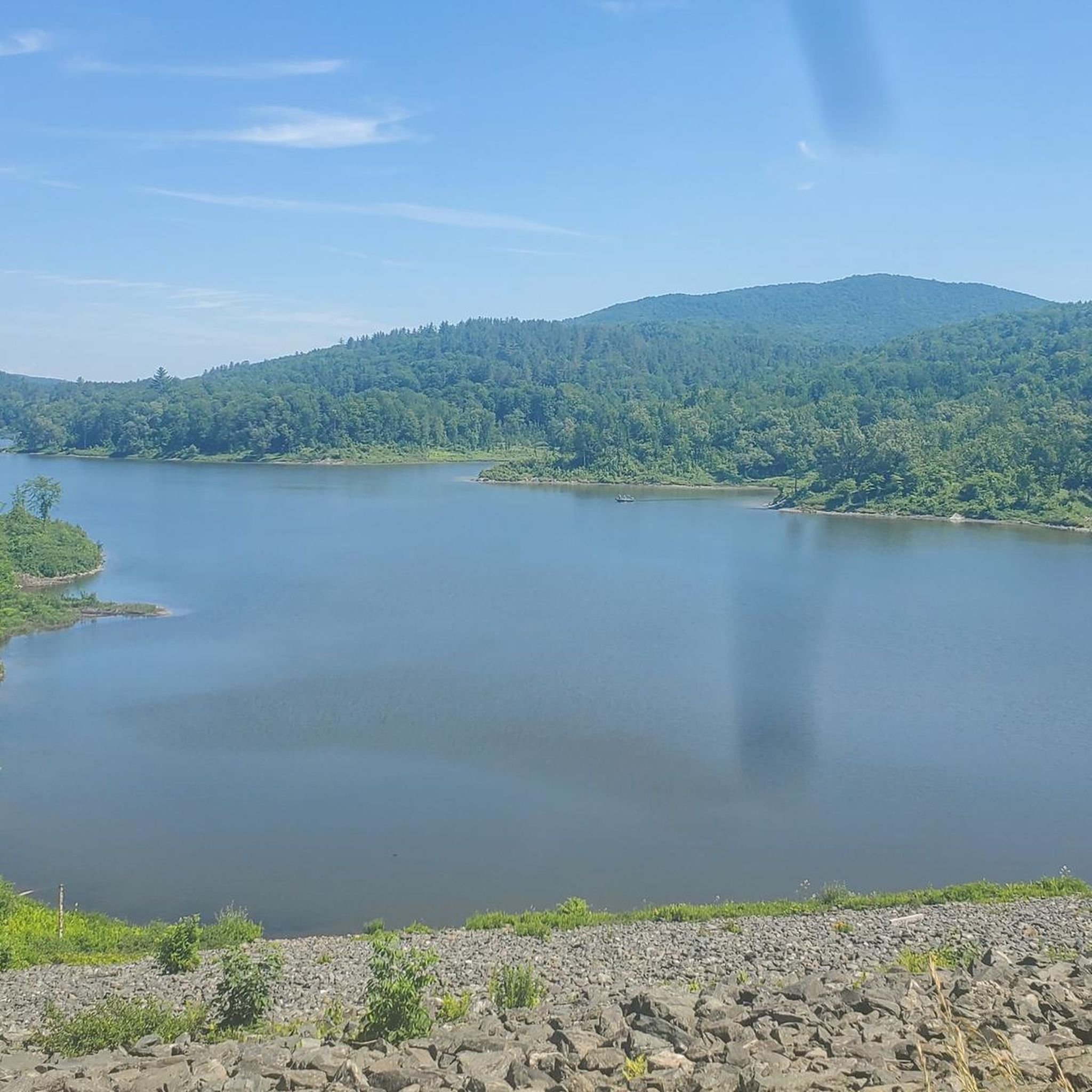
Gravel biking around East Montpelier VT offers routes through scenic rural landscapes characterized by rolling hills, active farmlands, and extensive woodlands. The region features a mix of maintained and unmaintained dirt roads, providing varied terrain for gravel cyclists. Riders can experience the Winooski River valley and enjoy views of distant low hills and mountains. This area provides a quintessential New England backdrop for outdoor exploration on two wheels.
Best gravel bike trails around East Montpelier
- The most popular gravel bike…
Last updated: July 9, 2026
5.0
(1)
23
riders
74.4km
05:12
1,160m
1,160m
This Montpelier gravel biking route offers a dynamic ride, starting with the pleasant crushed stone and paved sections of the Winooski West Path alongside the river, before diving into the…
5.0
(1)
10
riders
34.0km
02:10
520m
520m
The Sodom Pond – Adamant Co-op General Store loop from Montpelier offers a true taste of Vermont's rural beauty on two wheels. You'll pedal through classic New England scenery, with…

Sign up for free
6
riders
26.0km
01:38
440m
440m
This Junction Road – Winooski West Path loop offers a quintessential Montpelier gravel biking experience, blending paved river path with scenic dirt roads. You'll start on the smooth Winooski West…
5
riders
54.8km
03:31
880m
880m
Hard gravel ride. Very good fitness required. Mostly paved surfaces. Suitable for all skill levels.
6
riders
41.8km
02:24
500m
500m
Hard gravel ride. Very good fitness required. Mostly paved surfaces. Suitable for all skill levels.
Get access to more routes and recommendations from other explorers.
Sign up for free
Already have an account?
Our route recommendations are based on thousands of hikes, rides, and runs completed by other people on komoot.
Start today with a free account
Your next adventure awaits.
Login or Signup



Tips from the Community

A nice stretch of gravel road — nothing stressful to ride. It ties into the Cross-Vermont Trail and the Montpelier Bike Trail.
0
0

The Winooski West Path is a 2.6-mile paved multiuse trail that follows along the scenic Winooski River through a mix of forest and urban landscapes. This trail is perfect for walking, biking, and running, as it's mostly flat with views of the water the entire way. It's easily accessible from downtown, making it an ideal spot for a relatively short hike—whether you're taking a lunch break or simply want to spend an hour enjoying a stroll along the beautiful waterfront.
0
0

Moretown Gap unfolds as a picturesque, winding, steep, and leisurely backroad jewel nestled in the heart of the Green Mountains—a truly scenic wonder.
0
0

Hubbard Park is a 1,800 acre park on the edge of Montpelier. The park has many different wooded hiking trails. It also has a playground, picnic areas and restrooms.
0
0
Small water fall created by a dam on the Winooski River. There is a good view of the falls from the pedestrian footbridge that crosses the river from Vine Street.
0
0

Great spot for breakfast pastries, coffee, sandwiches and other ride snacks. They have a bike rack out front in the summer and lots of seating. Don't miss it!
0
0

Frequently Asked Questions
How many gravel bike trails are available in East Montpelier?
East Montpelier offers a diverse selection of 12 gravel biking routes. These range from moderate to difficult, ensuring options for various skill levels.
What kind of terrain can I expect on East Montpelier's gravel bike trails?
You'll encounter a mix of scenic rural landscapes, including rolling hills, active farmlands, and extensive woodlands. Many routes utilize maintained and unmaintained dirt roads, including Vermont's adventurous 'class 4 roads', providing varied surfaces from smooth to challenging.
Are there any family-friendly gravel biking options in East Montpelier?
While many routes are moderate to difficult, the region's extensive multi-use trail networks and less technical dirt roads can offer suitable sections for families. For a moderate option, consider the Junction Road – Winooski West Path loop from Montpelier, which is 26.0 km long.
What natural features or landmarks can I see along the gravel bike trails?
Riders can enjoy views of the Winooski River valley, distant low hills, and even glimpses of Camel's Hump. Along the way, you might encounter highlights such as the Winooski West Path, the historic Martin Covered Bridge, or the serene Small Falls.
Are there any circular gravel bike routes in the area?
Yes, many of East Montpelier's gravel routes are designed as loops. For example, the challenging Winooski West Path – Sodom Pond loop from Montpelier covers 69.9 km, and the Adamant Co-op General Store – Mirror Lake loop from Adamant is a 33.3 km difficult ride.
What is the best time of year for gravel biking in East Montpelier?
The region is beautiful for gravel biking from spring through fall, when the weather is generally mild and the landscapes are vibrant. Spring and autumn offer cooler temperatures and stunning foliage, while summer provides lush green scenery. Be mindful of 'mud season' in early spring when some unmaintained roads can be very soft.
What do other gravel bikers enjoy most about East Montpelier?
The area is highly rated by the komoot community, with an average score of 5.0 stars. Riders often praise the quiet woodlands, the picturesque farmlands, and the varied terrain that makes for an engaging gravel biking experience.
Are there any routes that pass by lakes or ponds?
Yes, several routes incorporate local water features. The Adamant Co-op General Store – Mirror Lake loop from Adamant, for instance, leads through woodlands and directly past Mirror Lake.
What is the longest gravel bike route available?
The longest gravel bike route in the area is the Winooski West Path – Sodom Pond loop from Montpelier, which spans 69.9 kilometers and is considered a difficult ride.
Are there any routes that offer extensive views?
Absolutely. The Sodom Pond – Curtis Pond Dock loop from Montpelier is a difficult 61.2 km route that provides extensive views of rolling hills and passes through beautiful forested areas.
Where can I find parking for gravel bike trails in East Montpelier?
While specific parking areas for each trail vary, many routes start from or pass through Montpelier, which offers various public parking options. For routes originating in smaller communities like Adamant, local co-ops or designated trailheads often provide parking.
What is the difficulty level of gravel biking in East Montpelier?
The routes in East Montpelier cater to a range of abilities, with 6 moderate and 4 difficult routes. The terrain often includes rolling hills and a mix of maintained and unmaintained dirt roads, offering a good challenge for experienced riders while still providing accessible options.
Most popular attractions around East Montpelier

Get inspired with the komoot mobile app


Explore more
Browse the best Gravel rides in other regions.
