The best gravel rides around Swedeland
3.8
(5)
41
riders
2
rides
Gravel biking around Swedeland, Pennsylvania, offers a network of trails primarily following river corridors and historical parklands. The terrain features a mix of paved and unpaved surfaces, with routes often traversing alongside the Schuylkill River and through areas like Valley Forge National Historical Park. Elevation changes are generally moderate, with some routes including more challenging climbs. The region provides diverse landscapes suitable for various gravel biking experiences.
Best gravel bike trails around Swedeland
- The most popular gravel bike trail is…
Last updated: August 21, 2026
29
riders
56.2km
03:06
480m
480m
Hard gravel ride. Very good fitness required. Mostly paved surfaces. Suitable for all skill levels.
3.8
(5)
10
riders
Easy gravel ride. Great for any fitness level. Mostly paved surfaces. Suitable for all skill levels.

Sign up for free
1
riders
12.0km
00:43
140m
140m
Easy gravel ride. Great for any fitness level. Mostly paved surfaces. Suitable for all skill levels.
Our route recommendations are based on thousands of hikes, rides, and runs completed by other people on komoot.
Start today with a free account
Your next adventure awaits.
Login or Signup

Tips from the Community

The Schuylkill Center for Environmental Education is a 365-acre park with over three miles of trails. The space is known for its environmentally-focused art installations and ecological restoration efforts.
0
0

This is a perfect spot to access the Schuylkill River Trail. At this trailhead, you'll find a dog park and a picnic area—an excellent place to start your journey or turn around and head back.
1
0

This inn is the last roadhouse in all of Philadelphia, and a much-beloved part of Fairmount Park. Although you can't stay here overnight, they serve good food and the inn serves as a sort of communal gathering spot: You can cozy up to the fireplace in the winter, or chill out on the porches in the summer.
0
0

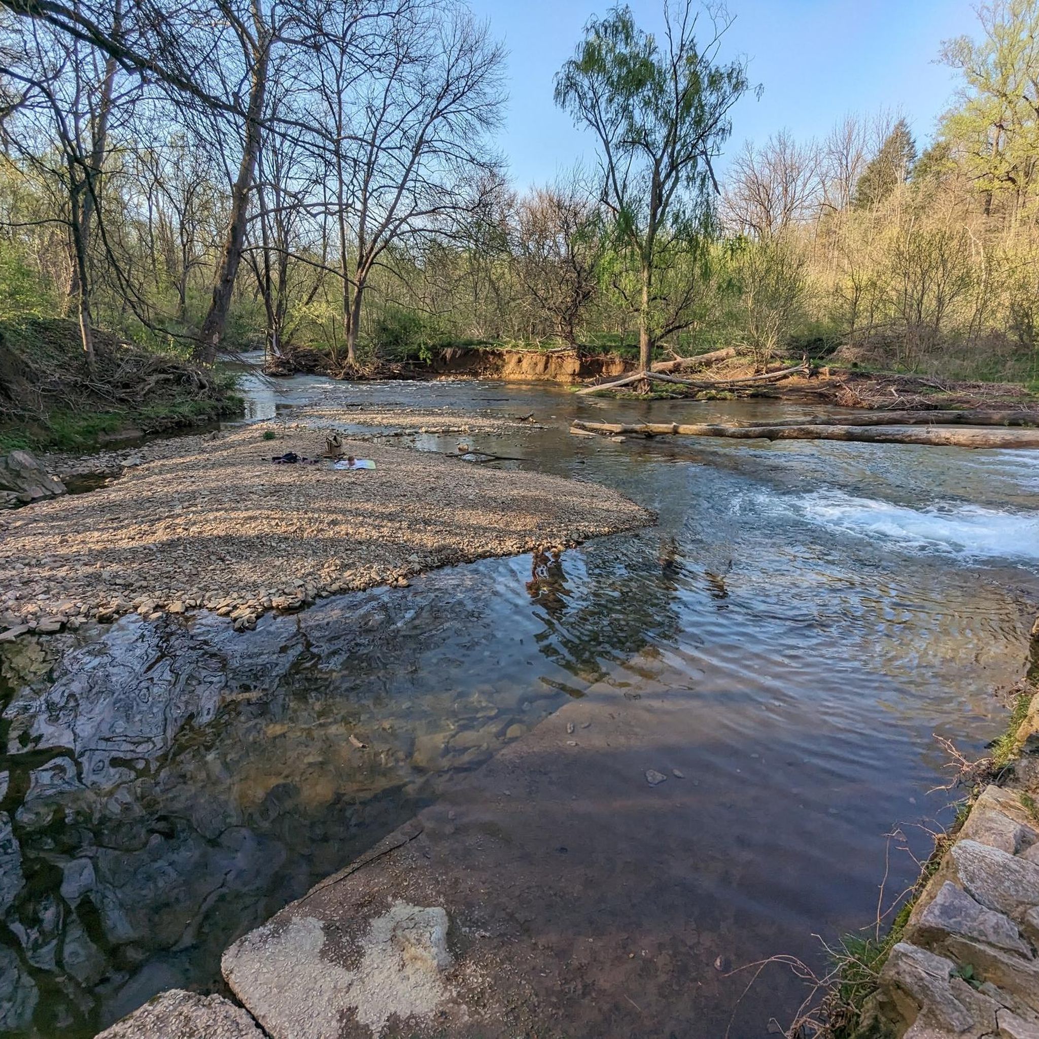
Wissahickon Creek flows over an old man-made stone shelf to create a wide waterfall that you can walk out towards on slabs of stone that rise up from the riverbed.
0
0

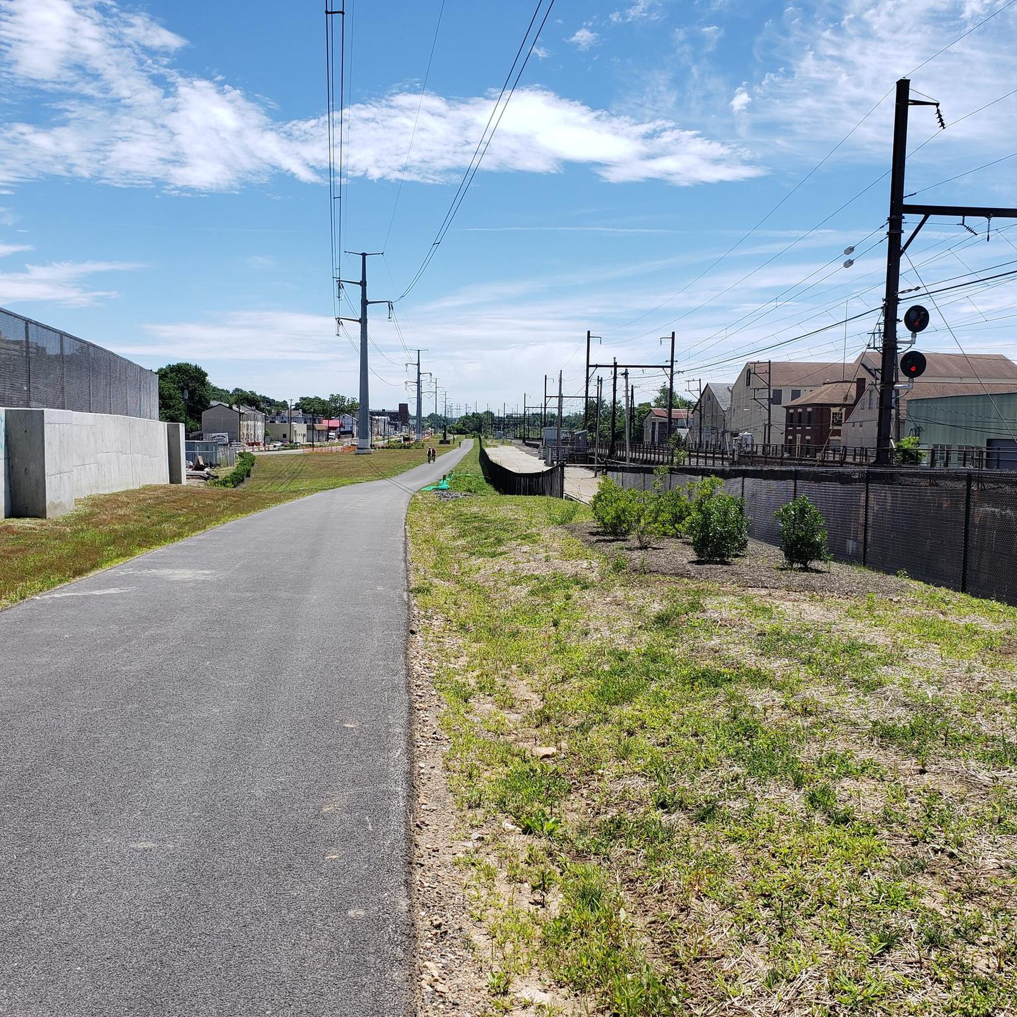
The Schuylkill River Trail, a multi-use path extending from Frackville in Schuylkill County through Montgomery, Chester, and Berks counties to Philadelphia, traverses the historically rich southeastern Pennsylvania region. The trail winds through rural, agricultural, suburban, urban, and industrial areas. It is a rail trail with over 75 miles of the trail being paved or surfaced with crushed stone and open to the public. Managed and developed by the Schuylkill River Trail Partners, there are ongoing plans to extend the trail.
0
0
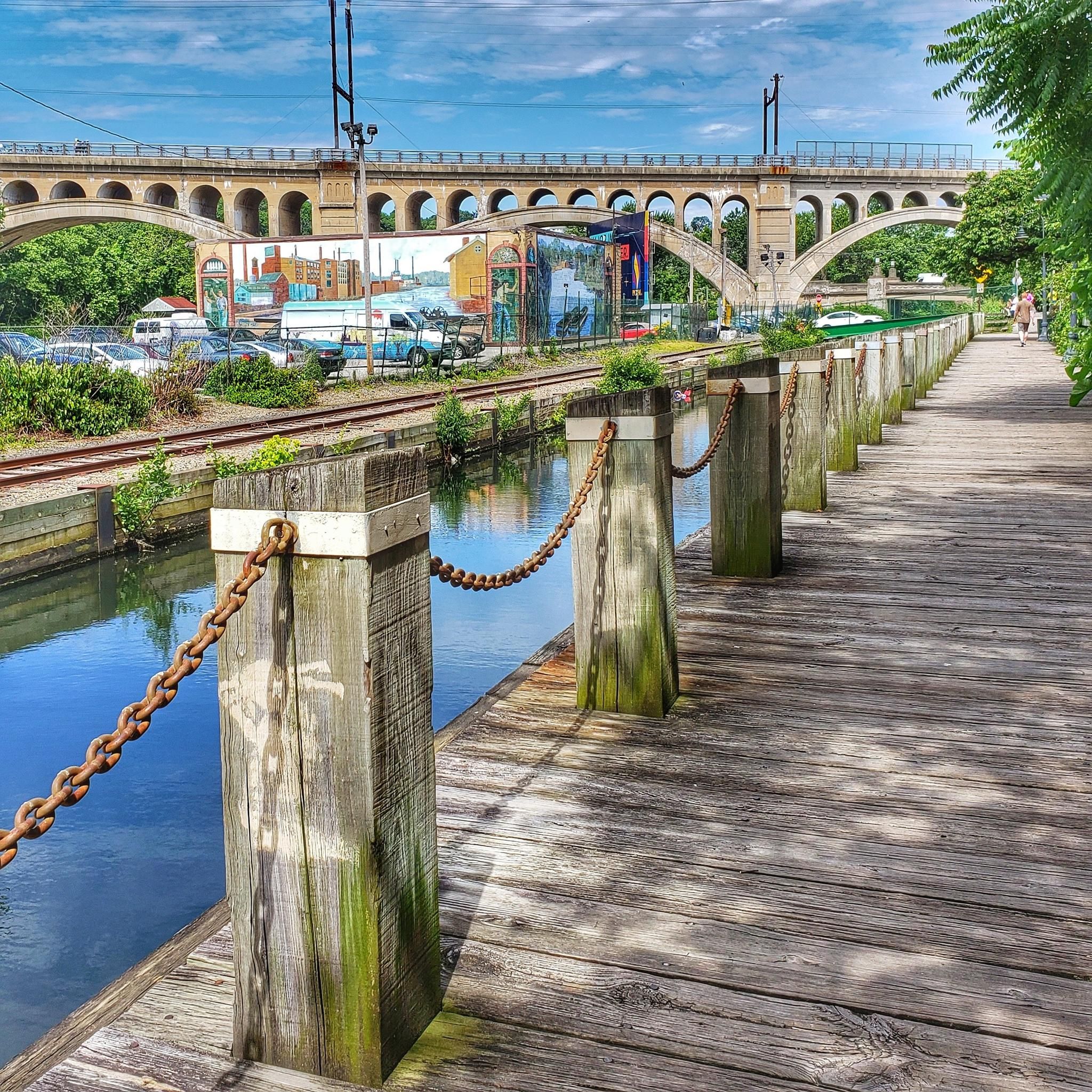
This crushed gravel doubletrack takes you right along the edge of the canal past a couple different small parks. The full trail is planned to cover around 140 miles when it is complete.
0
0

Lincoln Drive Trail runs parallel to Lincoln Drive with the Wissahickon Creek on the other side. This is a really pretty piece of paved trails with multiple bridges across the water.
0
0
The Schuylkill East Trail is the most popular path in the Black Rock Sanctuary trail network. This smooth crushed-gravel trail is easy for all levels of rider, and it offers access to a bunch of different paths on the property. If you are looking to get in some serious miles, the Schuylkill River Trail is just a couple miles south and directly connects to this path.
0
0
Frequently Asked Questions
How many gravel bike trails are available in Swedeland, Pennsylvania?
Swedeland, Pennsylvania, offers a network of over 10 gravel bike trails, catering to various skill levels. These routes primarily follow river corridors and historical parklands, providing a mix of paved and unpaved surfaces.
What kind of terrain can I expect on gravel bike trails around Swedeland?
The terrain around Swedeland features a diverse mix of paved and unpaved surfaces, often traversing alongside the Schuylkill River and through areas like Valley Forge National Historical Park. Elevation changes are generally moderate, though some routes include more challenging climbs, offering varied experiences for gravel bikers.
Are there any family-friendly gravel biking options in Swedeland?
Yes, Swedeland offers routes suitable for families. Trails along river corridors, such as sections of the Schuylkill River Trail, tend to have more moderate elevation changes and smoother surfaces, making them enjoyable for a wider range of riders. For a moderate option, consider the River Trail – Fitzwater Station loop from Washington Memorial Chapel, which is about 16.6 miles long.
Where can I find parking for gravel bike trails in Swedeland?
Parking is generally available at various access points along the major trail systems in the Swedeland area, particularly near trailheads for the Schuylkill River Trail and within historical parks like Valley Forge National Historical Park. Specific parking details can often be found on individual route pages on komoot.
Are there any loop gravel bike trails around Swedeland?
Yes, many gravel bike routes in Swedeland are designed as loops, allowing you to start and end at the same point. Examples include the popular Schuylkill River Trail – Wissahickon Creek Waterfall loop from Conshohocken or the more challenging Manayunk Bridge Trailhead – Schuylkill River Trail loop from Gladwyne.
What are some interesting landmarks or attractions I can see along the gravel bike trails?
Many gravel bike routes in Swedeland pass by significant historical and natural attractions. You might encounter landmarks like the National Memorial Arch within Valley Forge National Historical Park, or natural features like Devil's Pool. The Schuylkill River Trail itself is a major highlight, offering scenic views along the river.
What do other gravel bikers enjoy most about riding in Swedeland?
The gravel biking experience in Swedeland is highly rated by the komoot community, with an average score of 4.5 stars from over 11 reviews. Riders often praise the diverse terrain, the scenic river paths, and the historical parklands that make for engaging rides. The mix of moderate and difficult routes also appeals to a wide range of skill levels.
Are there any advanced or difficult gravel biking trails in the Swedeland area?
Yes, for experienced gravel bikers seeking a challenge, Swedeland offers several difficult routes with significant elevation gain. An example is the Manayunk Bridge Trailhead – Schuylkill River Trail loop from Gladwyne, which covers 35 miles with substantial climbing. Another challenging option is the View from Sullivan's Bridge – Schuylkill River Trail loop from Valley Forge.
Can I access gravel bike trails in Swedeland using public transport?
While specific public transport connections to every trailhead may vary, the Swedeland area, being close to urban centers, often has public transportation options that can get you relatively close to major trail access points, especially along the Schuylkill River Trail. It's advisable to check local transit schedules and routes for the most up-to-date information on reaching specific starting points.
Are there any trails that feature waterfalls near Swedeland?
Yes, one popular route that includes a waterfall is the Schuylkill River Trail – Wissahickon Creek Waterfall loop from Conshohocken. This moderate trail combines river path riding with sections near Wissahickon Creek, where you can experience the natural beauty of the waterfall.
What is the best season for gravel biking in Swedeland?
Gravel biking in Swedeland can be enjoyed across multiple seasons. Spring and fall offer pleasant temperatures and vibrant scenery, with changing foliage in autumn. Summer is also popular, though riders should be prepared for warmer weather. Winter riding is possible, but conditions may vary with snow and ice, especially on unpaved sections.
Most popular attractions around Swedeland

Get inspired with the komoot mobile app


Explore more
Browse the best Gravel rides in other regions.
