The best gravel rides around Lorane
19
riders
3
rides
Gravel biking around Lorane, Oregon, offers routes through the foothills of the Central Oregon Coast Range. The region is characterized by rolling hills, lush greenery, and open fields within the Siuslaw Valley. Riders can expect varied elevations, from valley floors to more challenging inclines, traversing a mix of pastoral vineyards, farmlands, and thick forests. These routes provide opportunities for mixed-terrain riding on low-traffic, unpaved roads.
Best gravel bike trails around Lorane
- The most popular gravel bike trail is View of…
Last updated: August 18, 2026
10
riders
35.0km
02:19
340m
340m
Moderate gravel ride. Good fitness required. Mostly paved surfaces. Suitable for all skill levels.
6
riders
22km
01:29
200m
190m
Moderate gravel ride. Good fitness required. Mostly paved surfaces. Suitable for all skill levels.

Sign up for free
6
riders
64.5km
03:58
570m
570m
Hard gravel ride. Very good fitness required. Mostly paved surfaces. Suitable for all skill levels.
3
riders
40.9km
02:14
290m
290m
Moderate gravel ride. Good fitness required. Mostly paved surfaces. Suitable for all skill levels.
Our route recommendations are based on thousands of hikes, rides, and runs completed by other people on komoot.
Start today with a free account
Your next adventure awaits.
Login or Signup


Tips from the Community

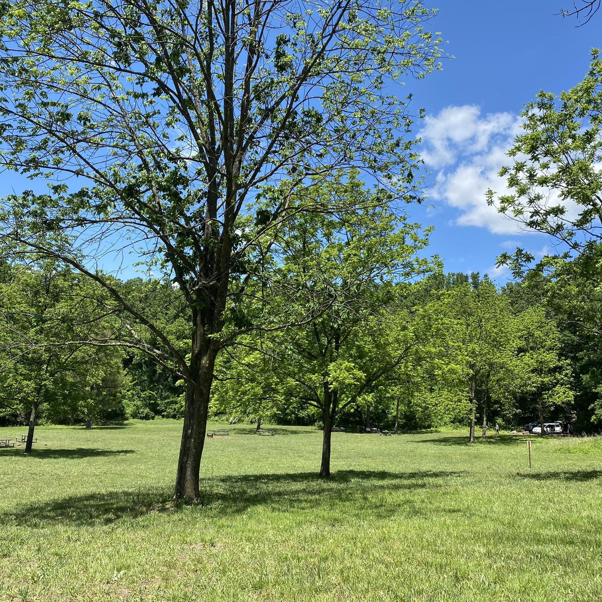
The trail is a continuation of the Berks County Tulpehocken creek trail The ride is easy but challenging. About 1 mile in there is an abrupt uphill that is gullied and loose shale. Firm grass either side care for non experienced riders
0
0

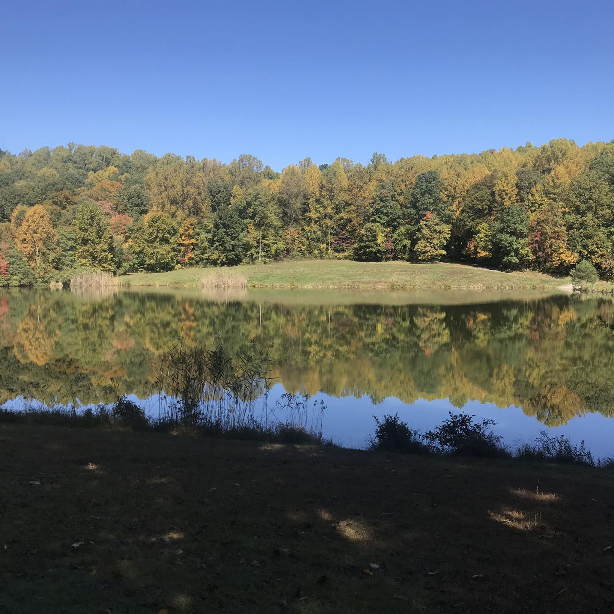
This is a picturesque pond with trails running alongside it and wooden decks to relax on—an alternate trail system if you want to escape busy roads, ride along the creek, or just find a nice spot for a break.
0
0

When completed, the Schuylkill River Trail will total nearly 120 miles from Frackville to Philadelphia. The Thun Section of the trail is a mostly crushed-gravel section in Reading that follows the river the entire time.
1
0

These are the spooky remains of an old building's foundation, slowly melting back into nature. This foundation no doubt belonged to one of the resorts and tourist attractions that once littered the mountain's slopes.
0
0

The Union Canal Trail runs along the Tulpehocken Creek from Reading to Leesport. The trail is made of crushed limestone, so it is a great path for walking and cycling. As the route has no traffic and is no too difficult, it is a great place for a family bike ride.
0
0
Tulpehocken Creek is a tributary of the Schuylkill River. While there are no bathrooms or picnic tables, it is a great spot for a break to take in the scenic and tranquil waters. The creek is open to fishing, so it is not uncommon to share the space with others trying their luck to catch something.
0
0
Highlands Park is a really popular spot for hiking and jogging without having to leave the city. To get to the grassy and dirt trails, you have to walk along a paved path for a little bit, but there are a number of unpaved trails you can branch out on. The trails are lined with plants and trees, and the deer in the area are so used to humans that they don't usually run away.
0
0

Neversink Mountain Preserve unveils a captivating view of the Schuylkill River from this scenic vantage point. Nestled in the natural beauty of Berks County, this viewpoint offers a serene and picturesque setting for visitors to enjoy the majestic flow of the river.
0
0
Frequently Asked Questions
How many gravel bike trails are there in Lorane?
There are currently 3 gravel bike trails available around Lorane, all offering a moderate level of difficulty. These routes provide a great way to explore the region's diverse landscapes.
What kind of terrain can I expect on gravel bike trails around Lorane?
Gravel biking in Lorane offers a varied experience, traversing rolling hills, lush greenery, and open fields within the Siuslaw Valley. You'll ride through a mix of pastoral vineyards, farmlands, and thick forests, with routes often climbing into the foothills of the Central Oregon Coast Range. Expect low-traffic, unpaved roads with varied elevations.
Are there any easy gravel bike trails for beginners in Lorane?
Currently, all the listed gravel bike trails around Lorane are rated as moderate in difficulty. While there aren't specific 'easy' routes, the moderate trails offer a good challenge without being overly technical, making them suitable for riders with some gravel biking experience. For example, the View of the river – Schuylkill River Trail loop from Gibraltar is a moderate 13.7-mile route with a manageable elevation gain.
What are some scenic viewpoints or landmarks along the gravel bike routes?
While the routes themselves offer continuous scenic beauty through forests and farmlands, the broader Lorane area is known for its natural features. You might encounter views of the Siuslaw River valley. For specific landmarks, consider exploring nearby attractions like Hopewell Dam or Scotts Run Lake, which are part of the region's natural charm.
Are there any circular gravel bike routes in the area?
Yes, all the gravel bike routes in this guide are circular loops, allowing you to start and end at the same point. Examples include the Wertz's Covered Bridge – Union Canal Trail loop from Reading, which is a 25.7-mile loop, and the Schuylkill River Trail – Schuylkill River Trail loop from Kenhorst, covering 19.5 miles.
What is the best time of year for gravel biking in Lorane?
Lorane's location in the foothills of the Central Oregon Coast Range means it experiences varied weather. Generally, spring through fall offers the most pleasant conditions for gravel biking, with milder temperatures and less precipitation. The lush greenery is particularly vibrant in spring, while fall brings beautiful foliage. Winter rides are possible but may involve colder, wetter conditions.
Are there options for more challenging gravel rides with significant elevation gain?
The gravel routes around Lorane offer varied elevations, from valley floors to more challenging inclines into the Coast Range foothills. For instance, the Wertz's Covered Bridge – Union Canal Trail loop from Reading features an elevation gain of 971 feet (296 meters) over 25.7 miles, providing a good workout for those seeking more significant climbs.
Can I find places to eat or drink near the gravel bike trails in Lorane?
Lorane is a small, rural community, but it's known for its local wineries, such as King Estate Winery, Chateau Lorane Winery, and Iris Hill Winery. These can be excellent stops to combine your ride with local culinary experiences. While specific cafes or pubs directly on the trails might be limited, these wineries offer a charming alternative.
What are the parking options for accessing gravel bike trails in Lorane?
Given the rural nature of Lorane and its gravel routes, parking is typically available at designated trailheads or public access points. It's advisable to check specific route details or local signage for the most convenient and appropriate parking locations before you start your ride.
Are the gravel bike trails around Lorane generally crowded?
One of the appeals of gravel biking in the Lorane area is the opportunity for solitude. The routes traverse low-traffic, unpaved roads, offering a peaceful escape. You're more likely to encounter local wildlife and scenic views than large crowds, making it ideal for those seeking a tranquil outdoor experience.
What makes gravel biking in Lorane unique compared to other regions?
Gravel biking in Lorane stands out due to its blend of picturesque landscapes, diverse terrain, and tranquil rural setting. Riders can experience the unique charm of the Siuslaw Valley, rolling hills, and the foothills of the Central Oregon Coast Range, all on less-trafficked roads. The combination of pastoral vineyards, farmlands, and thick forests provides a distinct Pacific Northwest gravel experience.
How long are the gravel bike trails near Lorane?
The gravel bike trails near Lorane vary in length, offering options for different ride durations. The routes in this guide range from approximately 13.7 miles (22.0 km) to 25.7 miles (41.4 km). For example, the View of the river – Schuylkill River Trail loop from Gibraltar is 13.7 miles, while the Wertz's Covered Bridge – Union Canal Trail loop from Reading is 25.7 miles.
Most popular attractions around Lorane

Get inspired with the komoot mobile app


Explore more
Browse the best Gravel rides in other regions.
