The best gravel rides around Corvallis
4.8
(22)
93
riders
15
rides
Gravel biking around Corvallis offers diverse landscapes, from the low-traffic backcountry byways of the Willamette Valley to the challenging gravel roads in the Coast Range foothills. The region is characterized by extensive trail networks, lush forests, and rolling hills. Riders can explore areas like the McDonald Forest and access the Willamette River, providing varied terrain for gravel cycling.
Best gravel bike trails around Corvallis
- The most popular gravel bike trail is Dimple Hill – Daves Road 580 loop from Corvallis, a 23.0 miles (37.0 km) trail that takes about 3 hours 20 minutes to complete. This route offers significant elevation gains and panoramic views within McDonald Forest.
- Another top favourite among local gravel bikers is Botanical Pond and Fountains – Harris Bridge loop from College Hill West Historic District, a difficult 43.2 miles (69.6 km) path. This loop provides varied terrain and scenery, often completed in about 4 hours 38 minutes.
- Local gravel bikers also love the Gravel loop from Oak Creek Trailhead, a 9.6 miles (15.4 km) trail leading through forested areas and hills, often completed in about 1 hour 18 minutes.
- Gravel biking around Corvallis is defined by its mix of Willamette Valley lowlands, Coast Range foothills, and dense forests. The network offers options for different ability levels, from challenging climbs to scenic paths.
- The routes in Corvallis are highly rated by the komoot community with an average score of 4.8 stars from over 15 reviews. More than 60 gravel bikers have used komoot to explore Corvallis's varied terrain.
Last updated: October 1, 2026
5.0
(9)
28
riders
39.1km
02:23
600m
600m
Hard gravel ride. Very good fitness required. Mostly paved surfaces. Suitable for all skill levels.
5.0
(3)
9
riders
36.5km
02:31
780m
780m
Hard gravel ride. Very good fitness required. Mostly paved surfaces. Suitable for all skill levels.

5.0
(4)
8
riders
29.8km
02:01
540m
540m
Hard gravel ride. Very good fitness required. Mostly paved surfaces. Suitable for all skill levels.
8
riders
29.9km
02:15
770m
770m
Hard gravel ride. Very good fitness required. Mostly paved surfaces. Suitable for all skill levels.
4.0
(1)
1
riders
15.4km
01:18
520m
520m
Hard gravel ride. Very good fitness required. Mostly paved surfaces. Suitable for all skill levels.
Get access to more routes and recommendations from other explorers.
Already have an account?
Our route recommendations are based on thousands of hikes, rides, and runs completed by other people on komoot.
Start today with a free account
Your next adventure awaits.
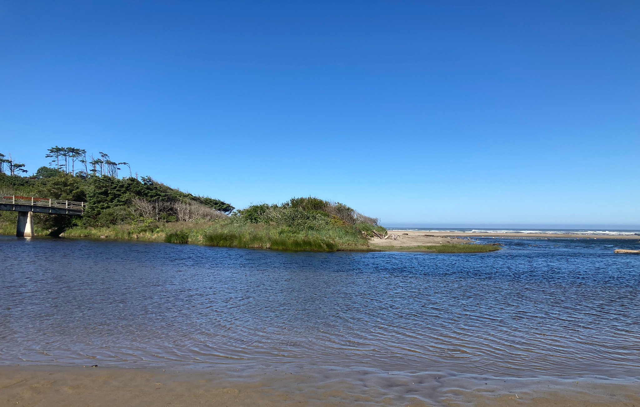
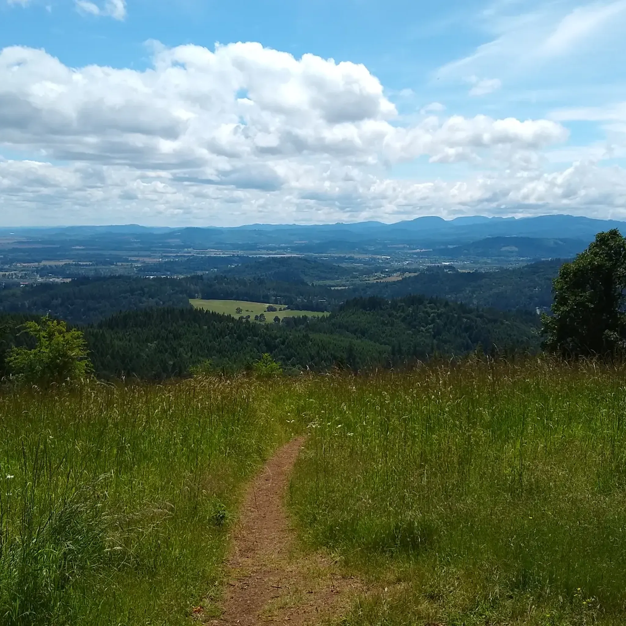
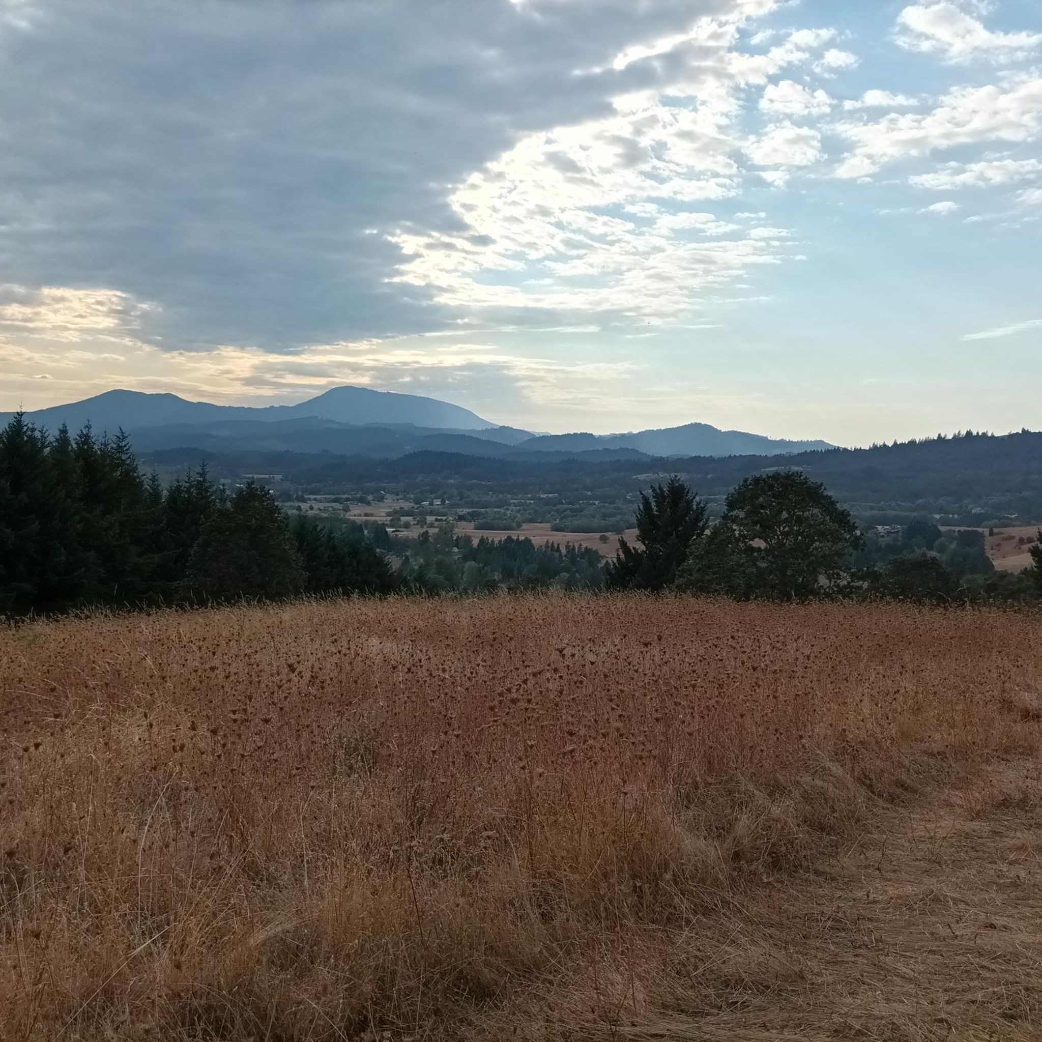
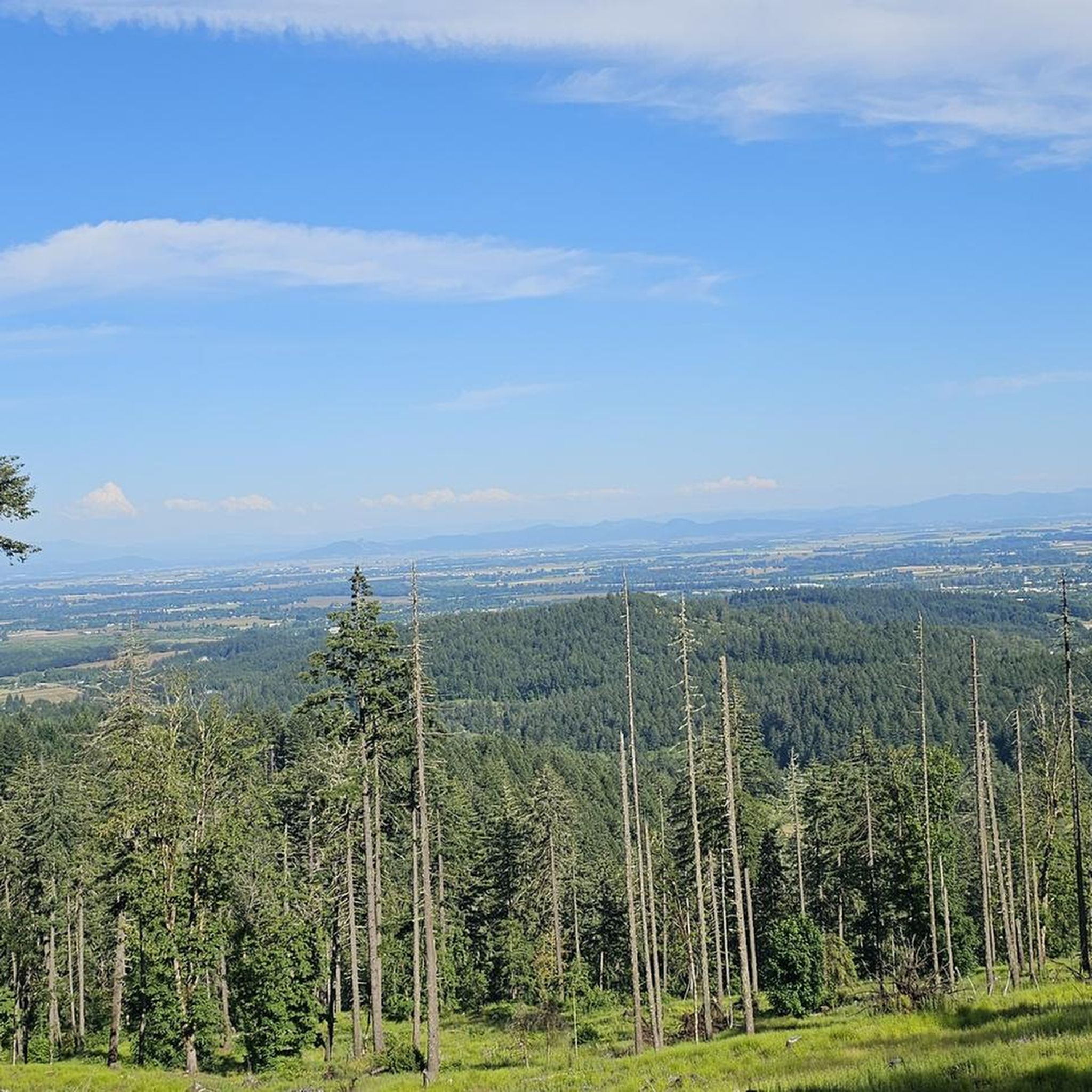
Other adventures around Corvallis

Tips from the Community

Sulphur Springs Road is the route to take up to Lewisburg Saddle, which is an intersection with parking and access to various trails. This road is open to bikes and cars.
0
0

The saddle has a parking lot with restrooms, and access to a handful of great easy riding trails through the woods.
0
0
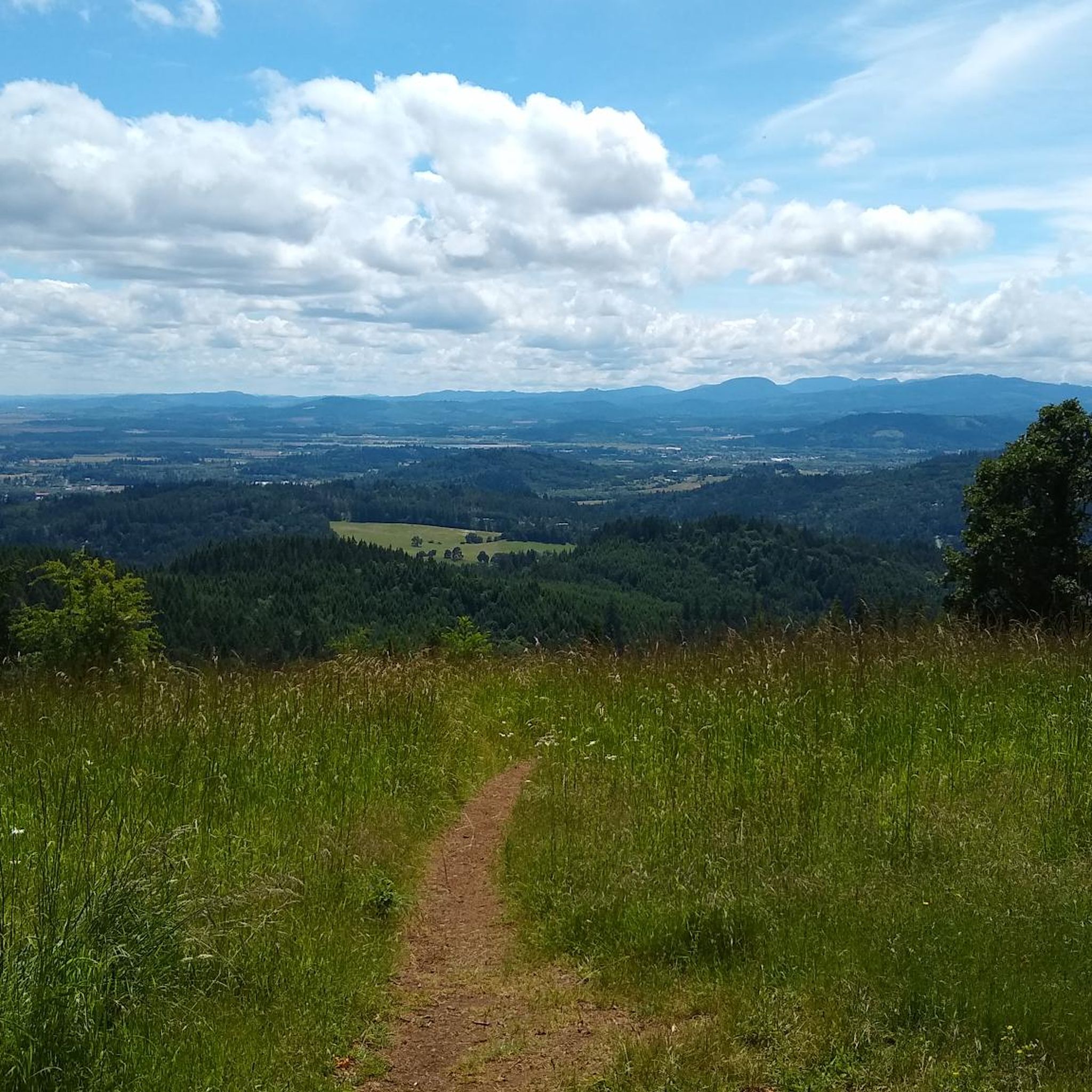
Just below the summit the trees open up, and you get a panoramic view south over Philomath and the mountains by Corvallis Watershed.
0
0

An old gravel road takes you right up to the top of McCulloch Peak, the highest point in McDonald Research Forest. You can get great views of Bald Hill and Dimple Hill from here.
1
0

This trail is a serene, shaded path that guides you through both new growth and old growth forests. You'll easily spot the clear difference in size between the mature trees and the newer ones in the vicinity. It's advisable to check for trail closures before your visit, as this area is also used for logging.
0
0
Dimple Hill provides breathtaking views of the valley, Marys Peak, Mt. Hood, and Three Fingered Jack in the distance. You'll find a comfortable picnic bench where you can pause and fully absorb the beauty of your surroundings.
0
0
The Civilian Conservation Corps (CCC) built this lake in 1937 as part of their effort to enhance America's public lands and parks. Nowadays, the lake serves as a water source for Oregon State University.
0
0

Now, you stand at a crossroads, with two paths awaiting. You can follow Road 612, connecting Chip Ross Park to Northwest Jackson Creek Drive. Alternatively, take the Quircus Meadow Trail south to Mud Freeway, extending your run through Timberhill Natural Area, until you find your way back to the embrace of Chip Ross Park.
0
0
Frequently Asked Questions
How many gravel bike trails are there in Corvallis?
Corvallis offers a diverse network of over 14 gravel bike trails, catering to various skill levels. These routes often combine low-traffic backcountry byways in the Willamette Valley lowlands with more challenging gravel roads in the Coast Range foothills.
What is the best time of year for gravel biking in Corvallis?
The spring and fall seasons generally offer the most pleasant conditions for gravel biking in Corvallis, with mild temperatures and lush scenery. Summer can be excellent, though some routes might be dusty. Winter riding is possible, but be mindful of post-rain conditions, as some gravel roads can become muddy or slick.
What natural features or viewpoints can I see along gravel bike routes in Corvallis?
Many gravel routes in Corvallis offer stunning natural features and viewpoints. For example, the McDonald Forest area, accessible via routes like the Dimple Hill – Daves Road 580 loop, leads to Dimple Hill, which provides breathtaking views of the valley, Marys Peak, and distant mountains. Other areas like Chip Ross Park and Bald Hill Natural Area also offer scenic vistas of Corvallis and the surrounding landscapes.
Are there any family-friendly gravel bike trails in Corvallis?
While many of the listed gravel routes are rated as 'difficult' due to elevation gains, areas like Bald Hill Natural Area offer a mix of paved and unpaved trails that can be suitable for families looking for a less strenuous ride. The Willamette River also has multi-modal paths that are generally flat and scenic. For specific gravel routes, consider shorter, less hilly sections or explore the extensive network within McDonald Forest for varied terrain.
Are there any dog-friendly gravel trails in Corvallis?
Many natural areas around Corvallis, including parts of McDonald Forest and Bald Hill Natural Area, are dog-friendly, often requiring dogs to be on a leash. It's always best to check specific trail regulations before heading out. Ensure your dog is accustomed to longer distances and varied terrain if you plan to tackle more challenging gravel routes.
Are there long-distance gravel routes available near Corvallis?
Yes, Corvallis is a gateway to several long-distance gravel routes. The most notable is the Corvallis to the Sea Trail (C2C), a 56-mile one-way route that connects Corvallis to the Oregon Coast, traversing lush forests and challenging climbs. For a significant loop, the Botanical Pond and Fountains – Harris Bridge loop covers nearly 43 miles with substantial elevation.
Are there loop gravel bike routes in Corvallis?
Absolutely! Many gravel biking opportunities in Corvallis are designed as loops, allowing you to start and end at the same point. Popular options include the Dimple Hill – Daves Road 580 loop in McDonald Forest, the challenging Botanical Pond and Fountains – Harris Bridge loop, and the shorter Gravel loop from Oak Creek Trailhead. These loops offer varied distances and difficulty levels.
Where can I find parking for gravel bike trails in Corvallis?
Parking is available at various trailheads and natural areas around Corvallis. For routes in McDonald Forest, you can often find parking near Oregon State University campus or specific trailheads like Oak Creek. Chip Ross Park and Bald Hill Natural Area also offer parking facilities. For routes further afield, check the specific tour details on komoot for recommended starting points and parking information.
How do post-rain conditions affect gravel biking in Corvallis?
After rain, gravel roads in Corvallis, especially those in the Coast Range foothills and forested areas, can become muddy and slick. Some sections might have standing water or loose gravel. It's advisable to check local weather conditions and recent trail reports. Routes with more compacted gravel or paved sections might be more suitable immediately after heavy rainfall.
Are there advanced gravel cycling trails near Corvallis for experienced riders?
Yes, Corvallis offers several challenging gravel routes for experienced riders. The Botanical Pond and Fountains – Harris Bridge loop is a difficult 43-mile path with significant elevation gains. The Dimple Hill – Daves Road 580 loop also presents a good challenge with over 500 meters of elevation gain over 23 miles. These routes often feature steep climbs and descents on varied gravel surfaces.
What do other gravel bikers enjoy most about gravel biking in Corvallis?
The gravel biking experience in Corvallis is highly rated by the komoot community, with an average score of 4.8 stars from over 15 reviews. Riders frequently praise the diverse landscapes, from the peaceful Willamette Valley lowlands to the challenging Coast Range foothills. The extensive network of trails, scenic views from points like Dimple Hill, and the variety of terrain for different skill levels are often highlighted as key attractions.
Are there any parks or natural areas accessible from gravel bike trails in Corvallis?
Many gravel bike trails in Corvallis provide access to beautiful parks and natural areas. McDonald Forest is a central hub for gravel riding, connecting to areas like Chip Ross Park, which offers excellent views. Bald Hill Natural Area also features gravel paths and is a quick escape from downtown. Additionally, the William L. Finley National Wildlife Refuge, though not directly on all gravel routes, is nearby and offers trails for hiking and bird watching.
Most popular routes around Corvallis
Most popular attractions around Corvallis

Get inspired with the komoot mobile app


Explore more
Browse the best Gravel rides in other regions.
