The best gravel rides around Marblehead
4.7
(13)
56
riders
7
rides
Gravel biking around Marblehead offers a diverse landscape characterized by coastal views, conservation areas, and a network of multi-surface trails. The region features varied terrain, including paved sections, dirt paths, gravel, and sand, providing a mix of riding experiences. Conservation lands with woodlands, wetlands, and tidal estuaries contribute to the natural environment. The area's elevation changes are generally moderate, with some routes featuring gentle climbs.
Best gravel bike trails around Marblehead
- The most popular gravel bike trail is Bridge –…
Last updated: October 1, 2026
4
riders
39.0km
02:26
150m
150m
Moderate gravel ride. Good fitness required. Mostly paved surfaces. Suitable for all skill levels.
8
riders
23.2km
01:10
80m
80m
Easy gravel ride. Great for any fitness level. Mostly paved surfaces. Suitable for all skill levels.

5.0
(2)
5
riders
58.3km
03:29
260m
260m
Moderate gravel ride. Good fitness required. Mostly paved surfaces. Suitable for all skill levels.
7
riders
67.0km
03:58
310m
310m
Moderate gravel ride. Good fitness required. Mostly paved surfaces. Suitable for all skill levels.
4.4
(7)
7
riders
Moderate gravel ride. Good fitness required. Mostly paved surfaces. Suitable for all skill levels.
Get access to more routes and recommendations from other explorers.
Already have an account?
Our route recommendations are based on thousands of hikes, rides, and runs completed by other people on komoot.
Start today with a free account
Your next adventure awaits.
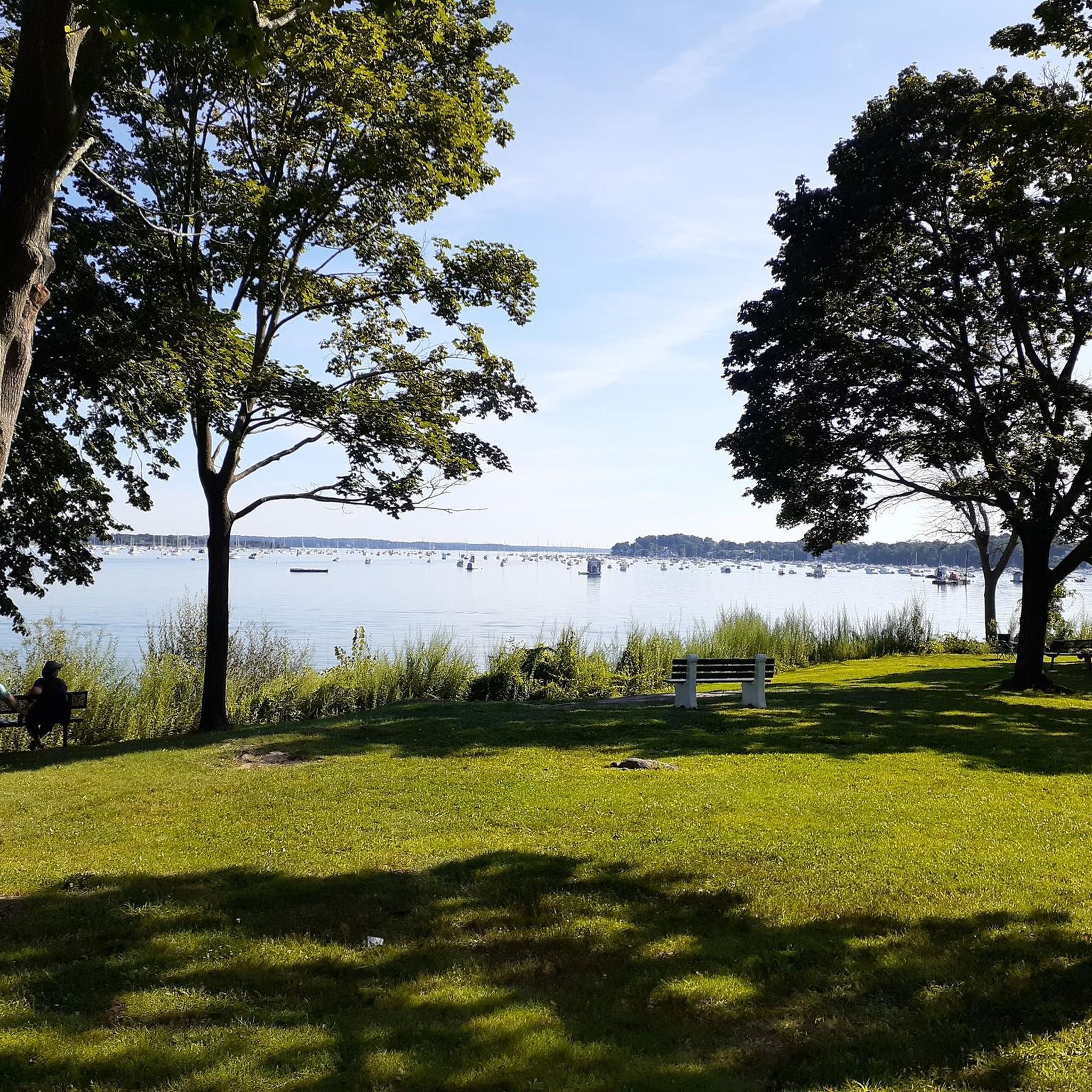
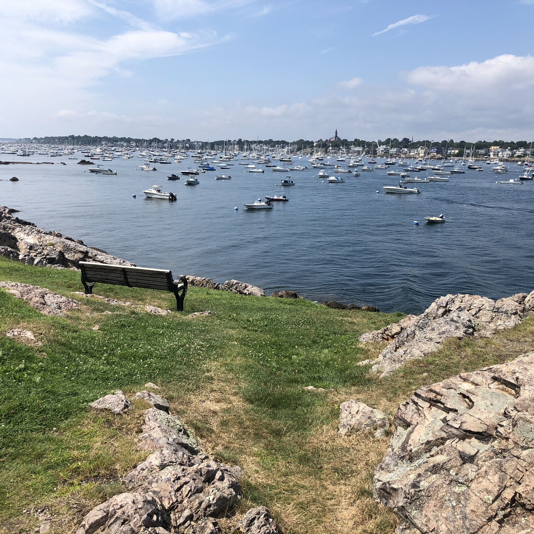
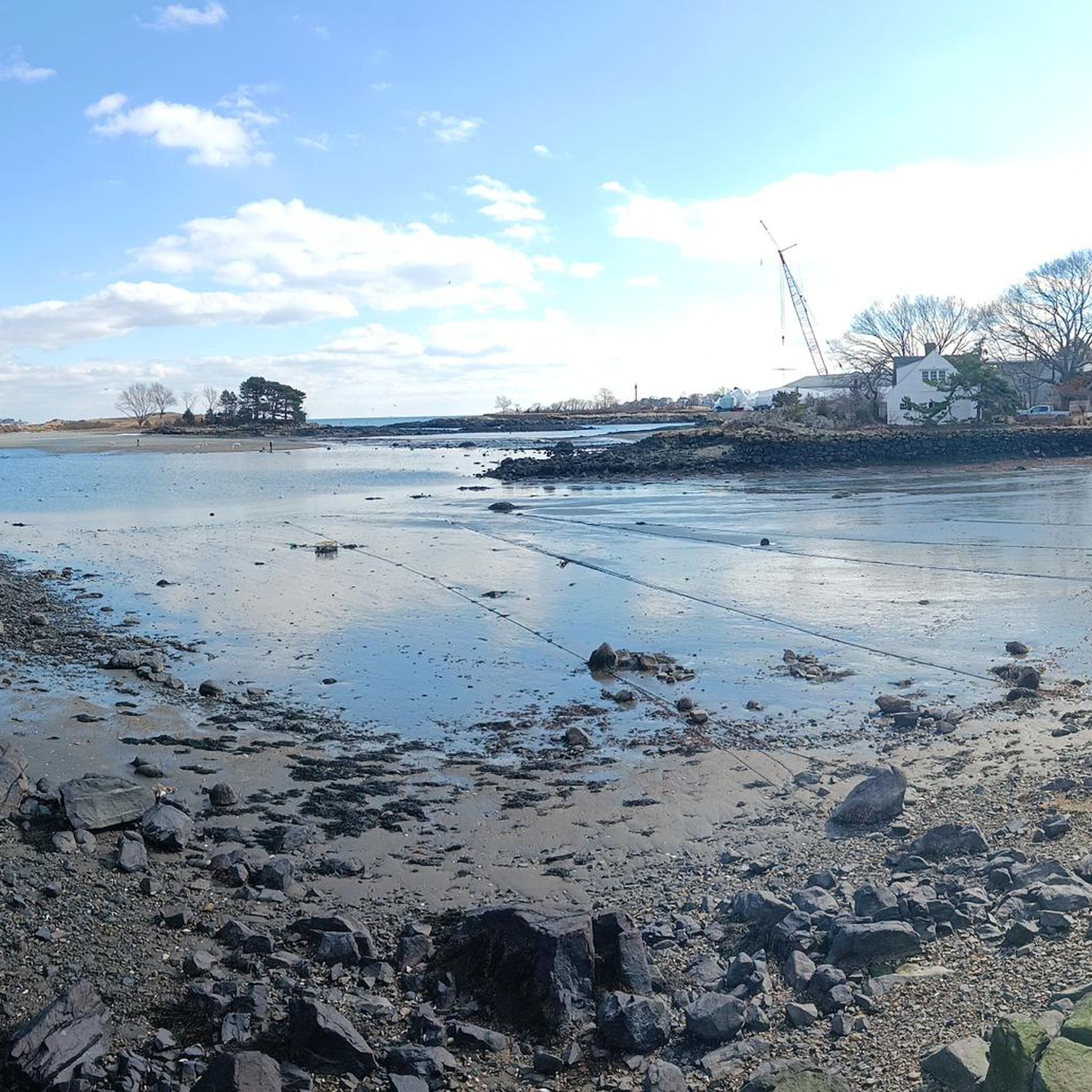
Tips from the Community

The rail trail is longer than just this highlight shows but the highlight is probably the best part. Due to the unique geography of trying to get a train to Marblehead and Salem this former rail right of way goes in, then backs out of downtown Marblehead in two branches. The southern branch has a small section in Swampscott and mainly goes through suburbs. A small section abuts conservation land and recently (August 2025) 650 feet was paved. The northern section is mostly in conservation land. Almost the entire route is dirt and often in very tough shape. For as wealthy as Marblehead is they don't show it off on this trail. It's in really unusually bad shape compared to other trails around the state
0
0

When you need a great cup of coffee & a nice treat. Closed on Mondays
0
0

Nestled along Wenham Lake, J.C. Phillips Nature Preserve spans 85 acres of forest, winding trails, and wetlands and is home to abundant wildlife. The 2.5-mile loop takes you through towering pines, scenic overlooks, and the remains of a historic estate. It's a fantastic spot for birdwatching, where you'll likely see bluejays, finches, woodpeckers, and bald eagles soaring high above the trees. Keep your eye out for wildflowers in the spring, and be aware of poison oak, which is common in this area. This beautiful spot is perfect for a quiet, peaceful hike any time of year.
0
0

The pedestrian crossing lets you enjoy the Ipswich River up close. You can see the water flowing by, which is vital for the town's history and nature. The river has been important for farming, mills, and even fishing for hundreds of years. You can also see the Choate Bridge, built in 1764, making it one of the oldest stone arch bridges in North America. It's truly amazing that it's still used by cars and people today!
0
0

Ipswich is a historic coastal town about 30 miles north of Boston. It was founded in 1634 and is one of the oldest towns in the United States. Visitors can enjoy Crane Beach, Castle Hill on the Crane Estate, the Ipswich River, and the Historic Downtown.
1
0


This is a great little beach with walking trails to Fort Pickering and the historic lighthouse. Parking is $10 for the entire day and you can camp just up from the shore. There are restrooms and showers available.
0
0
Frequently Asked Questions
How many gravel bike trails are available in Marblehead?
Komoot features over 10 gravel bike routes around Marblehead, offering a variety of experiences. These include 5 easy routes and 6 moderate routes, ensuring options for different skill levels.
What kind of terrain can I expect on Marblehead's gravel bike trails?
Marblehead's gravel bike trails offer a diverse mix of surfaces. You'll encounter paved sections, dirt paths, gravel, and even some sandy stretches, particularly on the Marblehead Rail Trail. The region's conservation lands also provide trails through woodlands, wetlands, and tidal estuaries.
Are there any long-distance gravel biking routes in the Marblehead area?
Yes, for those seeking longer rides, the Bridge – Coy Pond loop from Danvers is a substantial option, covering nearly 60 kilometers. Other routes like the Bridge – Topsfield Linear Common loop from Danvers also offer a good distance at almost 39 kilometers.
What are some notable landmarks or viewpoints I can see while gravel biking in Marblehead?
Many routes offer scenic coastal views. You can pass by the historic Fort Pickering Lighthouse on the Fort Pickering Lighthouse – Marblehead Rail Trail loop. Other highlights in the area include Castle Rock Park and Chandler Hovey Park, which provide stunning vistas of the Atlantic Ocean and Marblehead Harbor, with the iconic Marblehead Light Tower.
Are there family-friendly gravel biking options in Marblehead?
Yes, Marblehead offers several easy gravel routes suitable for families. The Topsfield Linear Common – Bridge loop from Danvers and the Topsfield Linear Common – Bridge loop from Northshore Mall are both rated as easy and provide pleasant rides through varied landscapes, often incorporating sections of the linear common which are generally flat and well-maintained.
Can I bring my dog on the gravel bike trails in Marblehead?
Many conservation areas and rail trails in Marblehead are dog-friendly, but it's always best to check specific regulations for each trail or park. For example, the Marblehead Rail Trail is generally welcoming to leashed dogs. Always ensure your dog is under control and follow local leash laws.
What is the best time of year for gravel biking in Marblehead?
The spring and fall seasons are generally ideal for gravel biking in Marblehead, offering pleasant temperatures and beautiful scenery, especially with the changing foliage in autumn. Summer can also be enjoyable, particularly along coastal routes, but be prepared for warmer weather and potentially more visitors. Winter riding is possible but may require appropriate gear for colder temperatures and potential snow or ice.
Are there any circular gravel bike routes around Marblehead?
Yes, many of the gravel routes in Marblehead are designed as loops, allowing you to start and end at the same point. Examples include the Bridge – Topsfield Linear Common loop from Danvers and the Fort Pickering Lighthouse – Marblehead Rail Trail loop from Swampscott, providing convenient circular journeys.
Where can I find information about conservation areas and their trails in Marblehead?
Marblehead is home to several conservation areas managed by the Marblehead Conservancy Inc., offering miles of trails through diverse natural environments. You can find more detailed information about these areas, including Forest River Conservation Land, Hawthorn Pond, and Wyman Woods, on the official Marblehead Conservation and Trails website.
What do other gravel bikers say about the trails in Marblehead?
The gravel biking routes in Marblehead are highly regarded by the komoot community, holding an impressive average rating of 4.7 out of 5 stars from over 10 reviews. Riders often praise the varied terrain, the scenic coastal sections, and the well-integrated rail trail segments that make for an engaging riding experience.
Are there any specific conservation areas that are good for gravel biking?
While many conservation areas in Marblehead are primarily for hiking, some, like those connected to 'The Path' (the former railroad right-of-way), can be incorporated into gravel rides. Areas such as Hawthorn Pond Conservation Area and Wyman Woods Conservation Area offer trails that connect to this network, providing varied landscapes including ponds, marshes, and forests.
What kind of elevation changes should I expect on Marblehead's gravel routes?
The elevation changes on Marblehead's gravel routes are generally moderate. While some routes feature gentle climbs, you won't encounter significant, sustained ascents typical of mountainous regions. For example, the Bridge – Topsfield Linear Common loop from Danvers has an elevation gain of about 160 meters over its 39-kilometer distance, indicating a relatively rolling terrain.
Most popular routes around Marblehead
Most popular attractions around Marblehead

Get inspired with the komoot mobile app


Explore more
Browse the best Gravel rides in other regions.
