The best gravel rides around Amherst
4.5
(8)
31
riders
9
rides
If you've ever tried to plan gravel biking around Amherst, you know how overwhelming the options can be. With so many trails crisscrossing the Pioneer Valley, it's tough to tell which routes are genuinely worth your time and effort, and which are just filler. We get it; sifting through endless maps to find those true gems can be a real pain.
That's where komoot comes in. Our community of local riders has already mapped, ridden, and reviewed the best gravel…
Last updated: May 31, 2026
5.0
(2)
9
riders
37.3km
02:40
480m
480m
Hard gravel ride. Very good fitness required. Mostly paved surfaces. Suitable for all skill levels.
4
riders
52.9km
03:56
770m
770m
Hard gravel ride. Very good fitness required. Mostly paved surfaces. Suitable for all skill levels.

4
riders
58.3km
04:32
840m
840m
Hard gravel ride. Very good fitness required. Mostly paved surfaces. Suitable for all skill levels.
5.0
(1)
2
riders
23.7km
01:49
330m
330m
Moderate gravel ride. Good fitness required. Mostly paved surfaces. Suitable for all skill levels.
3
riders
Hard gravel ride. Very good fitness required. Mostly paved surfaces. Suitable for all skill levels.
Get access to more routes and recommendations from other explorers.
Already have an account?
Our route recommendations are based on thousands of hikes, rides, and runs completed by other people on komoot.
Start today with a free account
Your next adventure awaits.
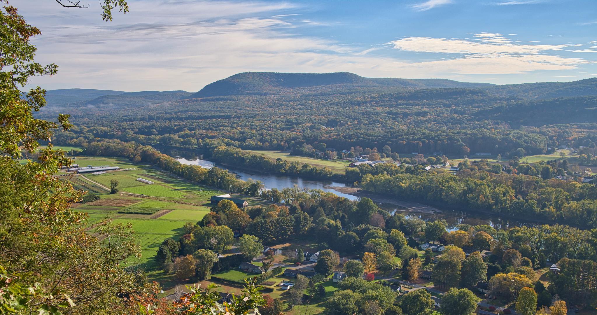
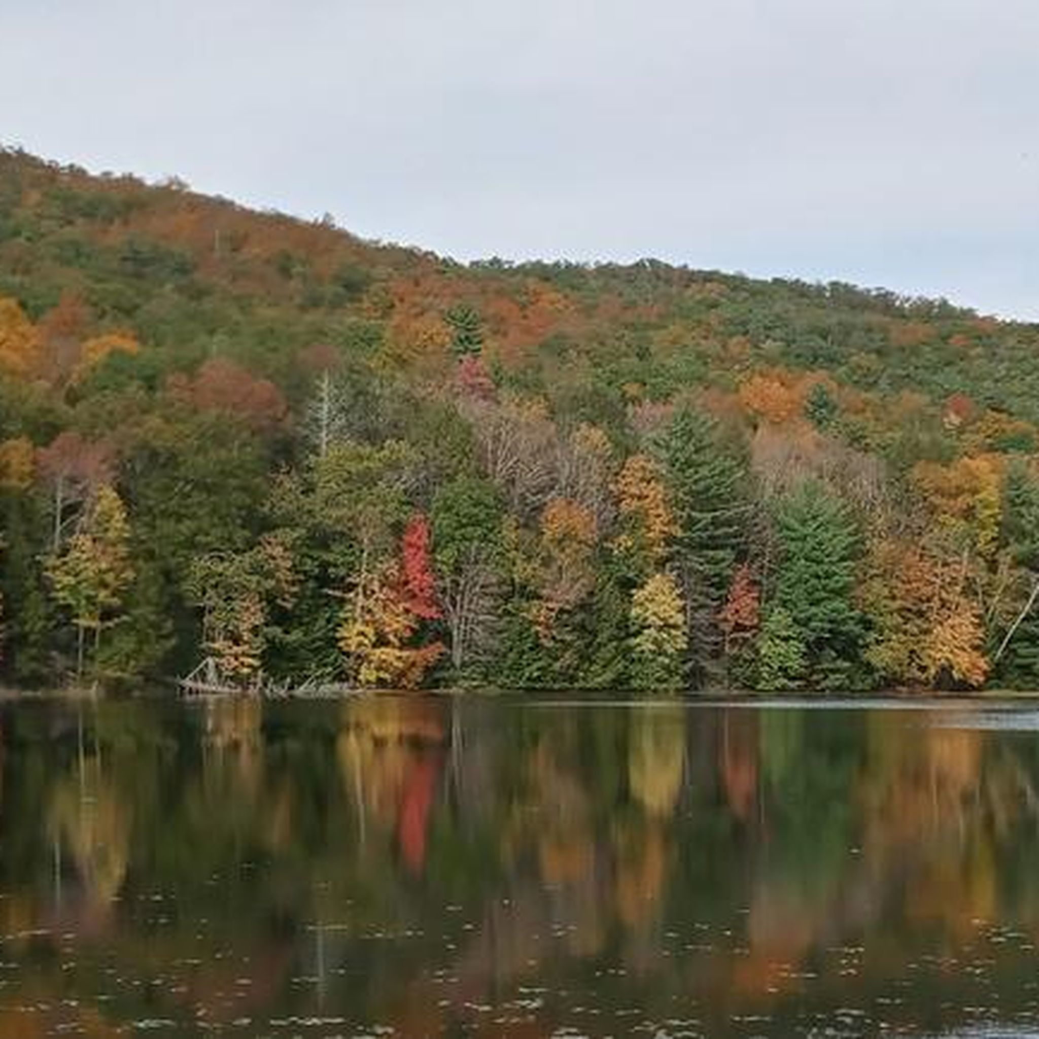
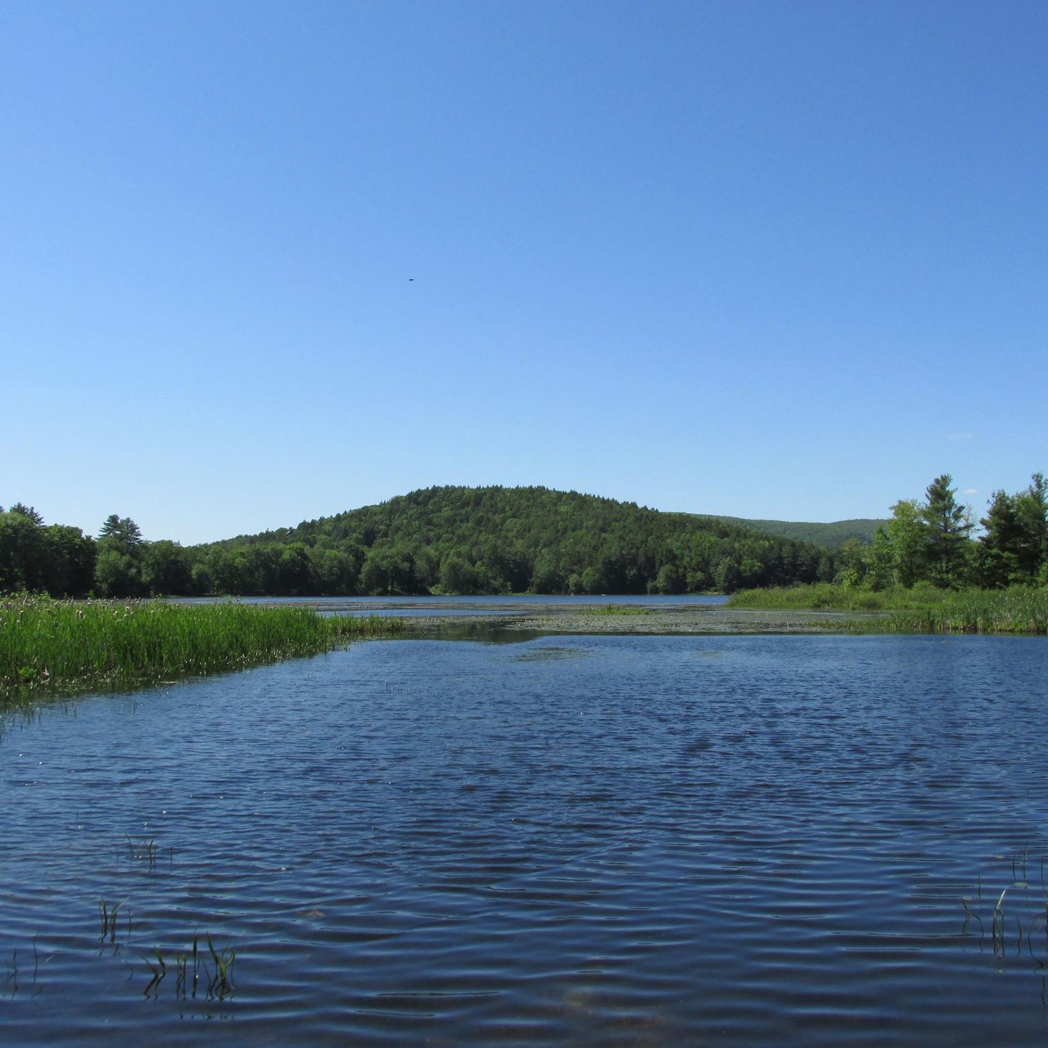
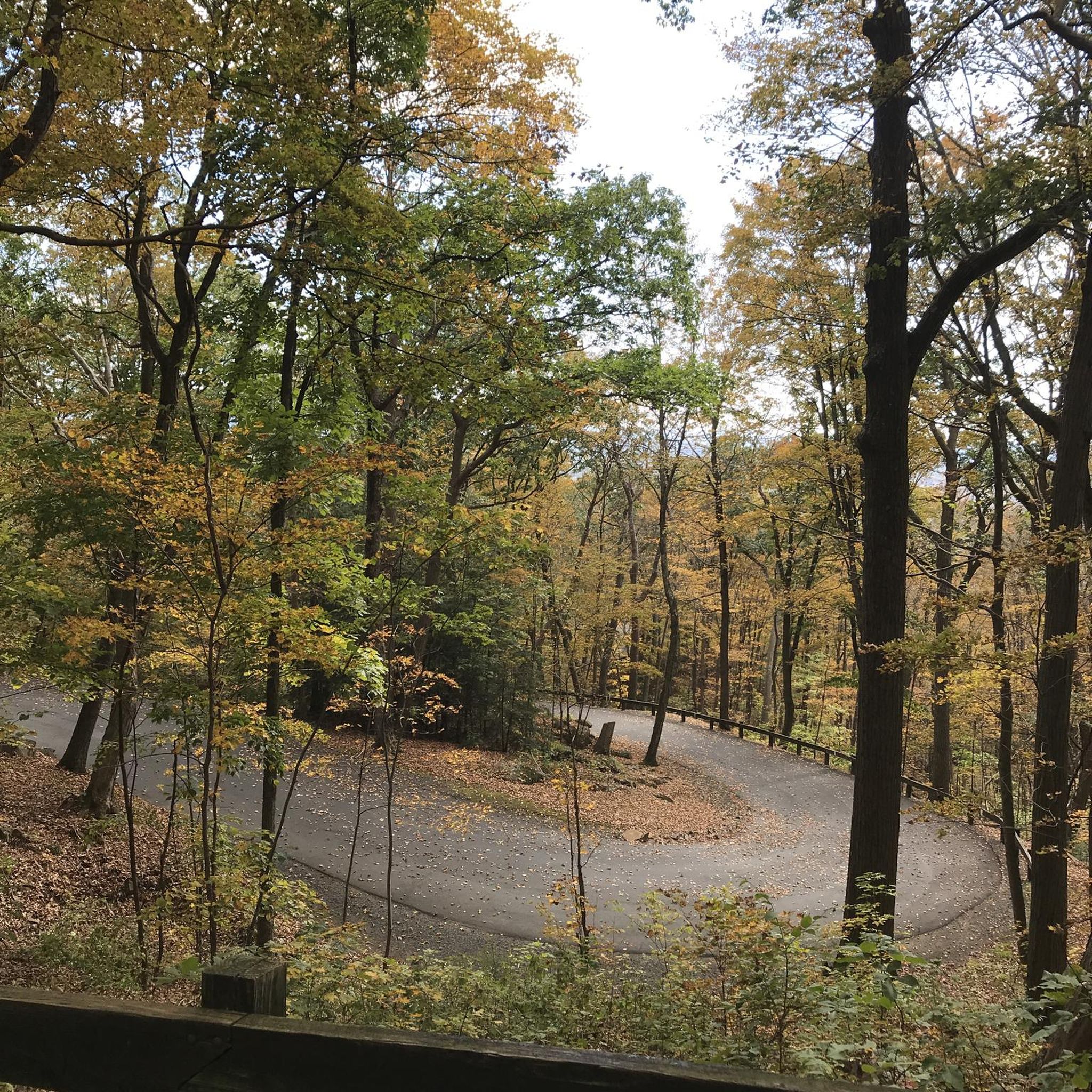

Other adventures around Amherst

Tips from the Community

Mill River is part of the Cushman Brook and flows through to the Cushman Brook Conservation Area and the Mill River Conservation Area. This river is in a thickly forested area in a ravine. Some of this protected area was donated and some was purchased. Visiting Mill River is a family-friendly get-away into nature open for the public to enjoy.
0
0

Right outside of Conway State Forest is the Roaring Brook Waterfall, which you can see from Whately Road. This is a great place to stop and snap a photo before continuing on your ride.
0
0
Mill River is part of the Cushman Brook and flows through to the Cushman Brook Conservation Area and the Mill River Conservation Area. This river is in a thickly forested area in a ravine. Some of this protected area was donated and some was purchased. Visiting Mill River is a family-friendly get-away into nature open for the public to enjoy.
0
0
Puffers Pond is a popular 11-acre pond in Amherst. This freshwater pond is the largest body of water in the town and has sandy beaches for swimming and places where you can launch a canoe. There are trails that encircle it that you can hike, bird, and fish along. This is a nice place to stop as you ride around the area.
1
0

On this side of Depot Road, you can enjoy a good view of Leverett Pond from its boat launch point. The bottom of this pond is completely covered by submerged vegetation.
0
0
Atkins Reservoir is a large freshwater lake in Shutesbury, east of Amherst. Since it is a reservoir that supplies the nearby towns' drinking water, there is no swimming allowed but from this spot you get fantastic views over the water as you ride.
1
0
Puffers Pond is a popular 11-acre pond in Amherst. This freshwater pond is the largest body of water in the town has sandy beaches for swimming and places where you can launch a canoe. There are trails that encircle it that you can hike, bird, and fish along. This is a nice place to stop as you ride around the area.
0
0

Atkins Reservoir is quite a large freshwater lake just north east of Amherst. It is used as a water supply for the nearby towns. It's a beautiful place, and the view here across its tree lined shore is really easy on the eye.
0
0
Frequently Asked Questions
What kind of terrain can I expect on gravel bike trails in Amherst?
Gravel biking in Amherst offers a diverse mix of terrain. You'll encounter rolling hills, extensive woodlands, and riverine environments. Routes often combine paved and unpaved sections, with some areas featuring 'chunkier' gravel. For example, the Puffers Pond – Atkins Reservoir loop from North Amherst provides varied terrain through woodlands and past reservoirs.
What are the difficulty levels of gravel bike trails in Amherst?
The gravel bike trails around Amherst cater to various skill levels. You can find routes ranging from moderate to difficult, with options for different elevation gains and distances. For instance, the View of the Hilltop Trees – Rock notch in Main Poland Road loop from South Deerfield is considered a difficult path with significant elevation gain, while the Fort River Bridge – Bridge over the Fort River loop from Amherst is a moderate option.
Are there family-friendly gravel biking options in Amherst?
Yes, Amherst offers family-friendly options for gravel biking. Trails like those in the Orchard Hill / UMass Trails area feature dirt and gravel roads suitable for various cycling types and are considered good for families. The Norwottuck Rail Trail, though paved, offers a very accessible and scenic route that can be incorporated into mixed-surface rides.
Can I bring my dog on gravel bike trails in Amherst?
Many outdoor areas in Amherst are dog-friendly, but specific regulations can vary by trail or conservation area. It's always best to check local signage or the Amherst Trails website for the most current rules regarding dogs, especially leash requirements. Generally, dogs are welcome on many public trails as long as they are leashed and waste is picked up.
Where can I find parking for gravel bike trails in Amherst?
Parking is available at various trailheads and access points throughout Amherst. For example, the Norwottuck Rail Trail has designated parking areas. Many routes that pass through conservation areas or state parks will also have parking facilities. It's advisable to check the starting point of your chosen route for specific parking information.
Are there any scenic viewpoints or landmarks along the gravel bike trails?
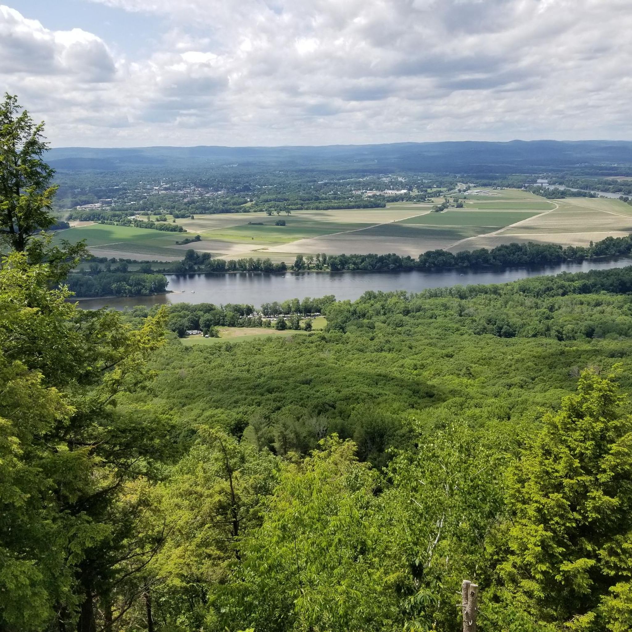
Absolutely. Amherst's gravel trails often lead to or pass by scenic spots. You can find views from peaks like Mount Norwottuck and Bare Mountain within the Mount Holyoke Range State Park. The Norwottuck Rail Trail Bridge and Fort River Bridge offer picturesque crossings. Puffer's Pond is a beautiful spot for relaxation, and Mount Sugarloaf provides expansive views of the Connecticut River Valley.
What are some notable natural features or attractions to explore near the trails?
Beyond the trails themselves, Amherst is rich in natural attractions. You can visit Mount Nonotuck or Mount Holyoke Summit for impressive views. Puffer's Pond is popular for swimming and picnicking. The Amethyst Brook Conservation Area offers easy hikes through woods and over the brook. The region is part of the picturesque Pioneer Valley, known for its diverse landscapes.
How can I access gravel bike trails in Amherst using public transport?
Amherst has a local bus system, the PVTA (Pioneer Valley Transit Authority), which serves the town and surrounding areas. Some bus routes may provide access to areas near trailheads or the Norwottuck Rail Trail. It's recommended to check the PVTA schedules and route maps to plan your journey, especially if you're looking to combine cycling with public transport.
Are there any trails that combine gravel with rail trail sections?
Yes, several routes in Amherst incorporate sections of rail trails, offering a mix of surfaces. The Norwottuck Rail Trail, though primarily paved, connects to other areas that can be part of a larger gravel ride. The 'Drake Passage' route, for example, is known for guiding riders through deep woods, featuring a collection of rail trails, singletrack, and power line roads.
What do other gravel bikers say about the trails in Amherst?
The gravel biking routes in Amherst are highly regarded by the komoot community, with an average rating of 4.5 stars from 8 reviews. Over 30 gravel bikers have explored the area using komoot, often praising the varied terrain, the beauty of the woodlands, and the challenging climbs found on routes like the Atkins Reservoir – Lake Wyola Dam loop from North Amherst.
What is the best time of year for gravel biking in Amherst?
The spring, summer, and fall months generally offer the best conditions for gravel biking in Amherst. Spring brings lush greenery, while fall showcases vibrant foliage, making for incredibly scenic rides. Summers are warm, perfect for rides that include a dip in Puffer's Pond. Winter riding is possible but requires appropriate gear for colder temperatures and potential snow or ice.
Are there any circular gravel bike routes in Amherst?
Yes, Amherst offers several excellent circular gravel bike routes. Many of the popular tours are designed as loops, allowing you to start and end at the same point. Examples include the Puffers Pond – Atkins Reservoir loop from North Amherst and the Atkins Reservoir – Lake Wyola Dam loop from North Amherst, which both provide varied landscapes and return to their starting points.
Most popular routes around Amherst
Most popular attractions around Amherst

Get inspired with the komoot mobile app


Explore more
Browse the best Gravel rides in other regions.
