The best gravel rides around Kemp Mill
5.0
(1)
54
riders
7
rides
Gravel biking around Kemp Mill benefits from its location within Montgomery County, Maryland, providing access to extensive regional trail networks. The area features stream valleys, natural parks, and historic waterways, offering varied unpaved surfaces. Riders can explore routes that traverse wooded areas, connect to the C&O Canal Towpath, and follow stream valleys like the Northwest Branch. This landscape provides a mix of relatively flat sections and more undulating terrain suitable for gravel cycling.
Best gravel bike trails around Kemp Mill
…Last updated: October 3, 2026
15
riders
Moderate gravel ride. Good fitness required. Mostly paved surfaces. Suitable for all skill levels.
17
riders
41.6km
02:33
240m
240m
Moderate gravel ride. Good fitness required. Mostly paved surfaces. Suitable for all skill levels.

3
riders
79.0km
04:49
470m
470m
Hard gravel ride. Very good fitness required. Mostly paved surfaces. Suitable for all skill levels.
4
riders
51.7km
02:47
380m
380m
Moderate gravel ride. Good fitness required. Mostly paved surfaces. Suitable for all skill levels.
4.0
(1)
10
riders
25.0km
01:34
200m
200m
Moderate gravel ride. Good fitness required. Mostly paved surfaces. Suitable for all skill levels.
Get access to more routes and recommendations from other explorers.
Already have an account?
Our route recommendations are based on thousands of hikes, rides, and runs completed by other people on komoot.
Start today with a free account
Your next adventure awaits.


Tips from the Community

As you ride onto the wide canal bend, you’re met with serene water views—Widewater is a beautiful lake that serves as habitat for many bird and wildlife species. It’s an ideal spot to pause, do some birdwatching, and soak in the calm before continuing your journey along the Potomac and the Chesapeake & Ohio canal.
0
0
This towpath is as much about the journey as the destination. Cruise past historic locks, aqueducts, and shady woodlands along a trail with gentle grades and rich history. Pause at scenic river overlooks or old lockhouses for a quick rest.
0
0

Lake Needwood provides a peaceful escape with its calm waters and surrounding trails nestled in the heart of Maryland. It’s a popular spot for kayaking, fishing, and picnics, offering a natural retreat close to the city.
0
0

Lock 21, aka Swains Lock, is a lock house and campsite. It was built in the 1830s and transported items such as grain and coal between Georgetown and Cumberland. It was named after the Swain family and John Swain, who helped build the canal, and Jesse Swain, the lockkeeper. The family lived here until 2006.
1
0
Lock 22, aka Pennyfield Lock, was built between 1829 and 1831, and the name came from the misspelling of the Pennifield family name. It has been restored and offers overnight stays to recreate the rustic feeling from that period.
1
0

Located at mile 14.3 on the C&O Canal Towpath in Potomac, Maryland, Great Falls Park is a must-visit highlight for hikers, cyclists, and history buffs alike. A short boardwalk leads to the Olmsted Island overlook, where the Potomac River dramatically crashes over jagged rocks—one of the most scenic views near D.C. For hikers, the popular Billy Goat Trail offers three segments, with Section A featuring challenging rock scrambles and breathtaking river views. The historic Great Falls Tavern, built in 1829, now serves as a visitor center and launch point for seasonal mule-drawn canal boat rides. The towpath itself is flat and easy to navigate, ideal for walking or biking. Amenities include restrooms, picnic spots, and interpretive exhibits. Parking is available at the visitor center (fee required), or you can park for free at nearby Swains Lock and walk or ride 2.5 miles to the falls.
1
0
Meadowbrook Stables is a peaceful equestrian escape nestled in Rock Creek Park, Meadowbrook Stables offers lessons, trail rides, and the chance to watch riders in training. Even if you're not riding, it’s a scenic detour on a cycling or walking route, with horses grazing near the path and the quiet rustle of the woods make this spot feel a world away from DC. Best visited in the early morning or late afternoon for golden light and fewer crowds.
0
0
The Chesapeake and Ohio Canal (C&O Canal) National Historical Park offers multiple access points and visitor centers, including one here in Georgetown, Washington, DC. Beginning on 29th Street NW, south of M Street, the 184.5-mile canal runs from Georgetown to Cumberland, Maryland. Its nearly level towpath is popular for hiking and biking, while the canal itself provides opportunities for canoeing, fishing, and boating, making it a great spot for outdoor recreation. Enjoy people watching and viewing historical brick buildings and homes.
2
0
Frequently Asked Questions
How many gravel bike trails are available around Kemp Mill?
Kemp Mill offers access to a network of 9 gravel bike trails, ranging from moderate to difficult. These routes are highly rated by the komoot community, providing diverse options for exploring the region's natural beauty.
What kind of terrain can I expect on gravel bike trails near Kemp Mill?
The gravel biking terrain around Kemp Mill is quite varied, benefiting from its proximity to extensive trail networks. You'll find unpaved canal towpaths, such as those along the C&O Canal, stream valley paths in areas like Northwest Branch Stream Valley Park, and natural parkland. Some routes feature forest paths and even scenic boardwalks, while more challenging options in areas like Sugarloaf Mountain offer rugged trails with steep climbs.
Are there any family-friendly gravel biking options near Kemp Mill?
While many routes offer varied terrain, the C&O Canal Towpath, accessible from the Kemp Mill area, is generally known for its relatively flat and accessible unpaved surfaces, making it a popular choice for families. For specific family-friendly routes, it's best to check individual tour details on komoot for difficulty and length.
Can I bring my dog on the gravel bike trails around Kemp Mill?
Many of the natural parks and trails in Montgomery County, including sections of the C&O Canal Towpath and Northwest Branch Stream Valley Park, are dog-friendly, typically requiring dogs to be on a leash. Always check specific park regulations or individual trail rules before heading out with your furry companion.
What are some notable landmarks or natural features I might see along the gravel bike trails?
The trails around Kemp Mill offer a mix of natural beauty and historical points. You might encounter features like the historic C&O Canal, the scenic Great Falls area, and the Northwest Branch Stream Valley. Other attractions in the broader area include Beach Drive in Rock Creek Park, the historic Peirce Mill, and the picturesque Boulder Bridge.
Are there any circular gravel bike routes available?
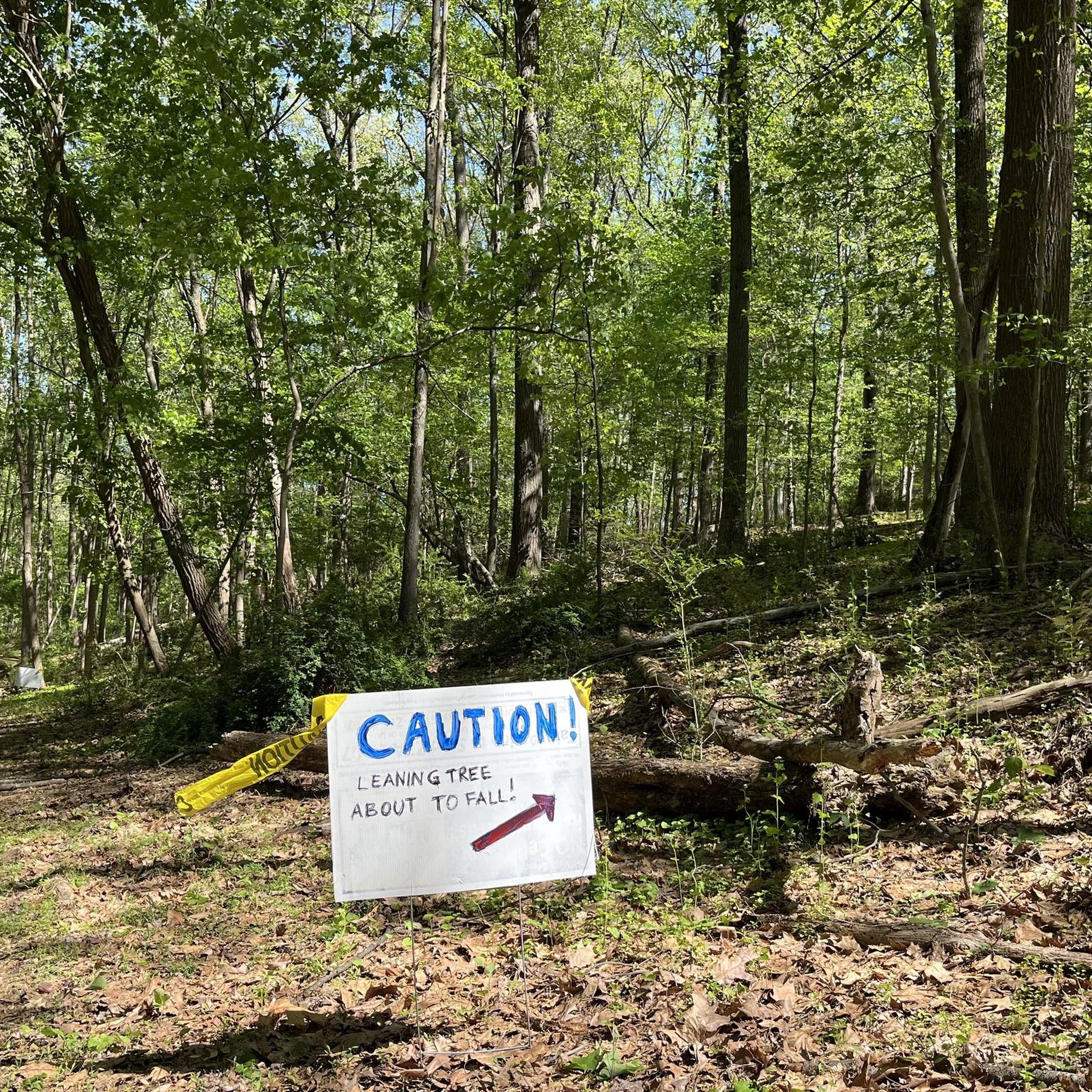
Yes, several routes around Kemp Mill are designed as loops. For example, the difficult Horseshoe Bend at Great Falls – Crossing Over the C&O Canal loop from Bethesda is a 45.9-mile circular route. Another option is the moderate Leaning Tree Warning – Northwest Branch Trail loop from Silver Spring, which covers 23.9 miles.
Where can I find parking for gravel biking near Kemp Mill?
Parking is generally available at various access points for the larger trail networks surrounding Kemp Mill. For instance, trailheads for the C&O Canal Towpath and parks like Northwest Branch Stream Valley Park often have designated parking areas. Specific parking details can usually be found on individual park websites or by checking the starting points of komoot tours.
What is the best time of year for gravel biking around Kemp Mill?
Spring and fall generally offer the most pleasant conditions for gravel biking around Kemp Mill, with mild temperatures and beautiful foliage. Summer can be warm and humid, while winter rides are possible but may involve colder temperatures and potentially muddy conditions after rain or snow. Always check local weather forecasts before heading out.
Are there any cafes or amenities near the gravel bike trails?
While specific cafes directly on the trails might be limited, the urban and suburban areas surrounding the larger trail networks, such as Bethesda, Silver Spring, and other towns in Montgomery County, offer a variety of amenities, including cafes, restaurants, and shops. Planning your route to pass through these towns can provide opportunities for refreshments.
What do other gravel bikers enjoy the most about gravel biking in Kemp Mill?
The area is highly rated by the komoot community, with an average score of 5.0 stars from over 4 reviews. Riders often praise the diverse terrain, the scenic beauty of the stream valleys and canal towpaths, and the well-maintained unpaved surfaces that make for an excellent gravel biking experience.
Are there any challenging routes for experienced gravel riders?
Yes, experienced gravel riders will find challenging options. The Pennyfield Lock – Swains Lock loop from Bethesda is a difficult 46-mile route with significant elevation gain. Another difficult option is the Meadowbrook Stables – Lake Needwood Southeast Shore loop from Friendship Heights, covering over 50 miles with substantial climbing.
Can I access these trails using public transport?
Many parts of Montgomery County are well-served by public transport, including Metro and bus lines, which can provide access to trailheads or starting points for gravel biking routes. For example, routes starting from areas like Georgia Avenue–Petworth or Friendship Heights are often accessible via public transit. It's advisable to check specific public transport routes and bike carriage policies for your chosen starting point.
Most popular attractions around Kemp Mill

Get inspired with the komoot mobile app


Explore more
Browse the best Gravel rides in other regions.
